
***Winter Storm Watch for Most Mountain Areas Friday into the Coming Weekend*** A rather dry southwest flow will b twitpic.com/c92l6u
— NWS Grand Junction (@NWSGJT) March 6, 2013
Day: March 6, 2013
Snowpack news: ‘February storms fail to boost snowpack’ — Mage Hultstrand #codrought #cowx
![]()
Click on the thumbnail graphic for the March 1 table of snowpack and storage from the Natural Resources Conservation Service (Mage Hultstrand). Here’s the March 1 press release:
Statewide snowpack totals saw a nominal increase during February. While the storm systems that moved through Colorado during February did improve the statewide snowpack, unfortunately it was not enough to boost conditions to normal. As of March 1, the state snowpack was 73 percent of normal and 83 percent of last year’s readings at this same time, according to Phyllis Ann Philipps, Colorado State Conservationist with the Natural Resources Conservation Service (NRCS). Colorado’s snowpack has tracked below the long-term normal for three consecutive months with miniscule fluctuations (it was 71 percent of normal on January 1 and 71 percent of normal February 1).
Most basins within the state benefitted from the February storms, but not all. The greatest decline in snowpack percentage was measured in the combined San Miguel, Dolores, Animas and San Juan basins whose March 1 snowpack dropped 5 percentage points from last month to 83 percent of normal as of March 1. In the Rio Grande basin the snowpack increased from 78 percent of normal last month, to 79 percent of normal as of March 1. The Arkansas basin also showed a gain in snowpack percentage, increasing from 63 percent on February 1 to 71 percent on March 1. The largest increase, as a percent of normal, from last month’s report was recorded in the South Platte basin; as of February 1 the snowpack in this basin was at just 54 percent of normal, as of March 1 the basin’s snowpack had increased to 63 percent of normal.
This recent data collected during the March 1 snow surveys directly reflects what the state can expect for surface water supplies this coming spring and summer. The most recent streamflow forecasts continue to point towards well below normal volumes for this spring and summer in all the major river basins in Colorado. Reservoir storage across the state remains well below average, at just 71 percent of average as of March 1.
Unless Colorado sees weather patterns in March that bring well above average snowfall and precipitation to the state, there will not be much relief from the current drought conditions.
From The Denver Post:
NRCS, the federal agency that measures snowpack, said the March 1 snowpack measurement reflected a “nominal” increase in the month of February, but statewide snowpack remained at just 73 percent of average. Worse, the measurement was just 83 percent of the amount Colorado had this time a year ago, when the state plunged deep into a crop disaster and weathered horrendous wildfires after a dry spring. Reservoir storage, the cushion against drought across the state, also lags — it is just 71 percent of average…
The agency said the snowpack has seen only “miniscule fluctuations” since the new year, recording 71 percent of average on Jan. 1 and Feb. 1.
The basin of the San Miguel, Dolores, Animas and San Juan rivers was at 83 percent of normal as of March 1. The Rio Grande basin was 79 percent, the Arkansas River basin was 71 percent, and the South Platte basin was 63 percent.
From The Pueblo Chieftain (Chris Woodka):
With spring just two weeks away, winter has decided to show up. “These are the storms we expect this time of year,” said Roy Vaughan, manager of the Fryingpan-Arkansas Project for the Bureau of Reclamation. “They are improving things to a certain extent, but will it be enough to change the average in the big picture? We want to see it finish this year.”
Colorado snowpack has improved to 77 percent after the second big storm in a week swept through the area Monday. According to the Natural Resources Conservation Service Snotel survey, the Arkansas River basin is at 72 percent of normal, the Upper Colorado River at 75 percent and the Rio Grande at 78 percent.
The March 1 Fry-Ark estimate of water that will be brought over from the Roaring Fork basin is only about 24,200 acre-feet, less than half of average, however. That’s because other factors later in the spring will further reduce the amount of water that can be brought over. “I always stress that the estimate is based on normal snowfall for the rest of the season,” Vaughan said. “If the precipitation goes up, the estimate will increase.”
Last year, snowfall throughout Colorado stopped in March, plunging the state further into drought.
Reservoirs will continue to decline without a big influx of moisture, he added. Particularly of concern are Turquoise and Twin lakes in Lake County, which were drawn down for Fry-Ark deliveries last year and never fully rebounded.
In Leadville the latest storm dropped 4 to 5 inches, bringing snowpack levels in town up to about 3.5 feet. The moisture content of the snow in the mountains is just 5 to 10 inches. A foot of snow produces about an inch of water.
El Paso and Pueblo counties received the heaviest totals for snow in Monday’s storm, which passed quickly through the area. Moisture content was up to 0.25 inches in some places. Pueblo has seen an inch of precipitation this year, which is 25 percent above normal.
Another storm is expected to pass through this weekend.
From The Pueblo Chieftain (Chris Woodka):
Snowpack in Pueblo’s water collection system is running at only half of average and below 2012.
“All of our snow courses are down from last year and running from 49 to 65 percent of average,” said Rick Sexton, who manages mountain water systems for the Pueblo Board of Water Works. “The good news is that it hasn’t shut off in March, like it did last year.”
Pueblo imports about half of its water supply from the Upper Colorado River basin through ditches and mountain tunnels. The snowpack on the eastern side of the Continental Divide also helps feed the water board’s rights in the Arkansas River basin.
“It’s sad to have this bad snowpack two years in a row,” Sexton said.
The water board measures snow courses once a month, so the latest figures reflect conditions at the end of February. Monday’s fast-moving storm deposited up to a foot of snow throughout the Lake County area, but the moisture content was low, Sexton said.
Meanwhile, the winter water program collected only about 60,000 acrefeet of water through the end of February, less than half of the 20-year average.
Storage in the program, which is administered by the Southeastern Colorado Water Conservancy District as a way for farmers to store water to use later in the irrigation season, is on course for record-low storage this year.
From the Longmont Times-Call:
Longmont received 1.8 inches of snow Monday, bringing snowfall totals for the winter season, which started in September, to 26.7 inches. The average snowfall total, at this date, is 33 inches, according to Times-Call weather consultant Dave Larison.
With just this snowfall, Longmont has received ore snowfall than it did in March 2012. Last March was the driest in Longmont’s recorded weather history, with no snowfall and only 0.01 inches of precipitation from one light drizzle. March tends to be the snowiest month of the year, with an average of about 9 inches.
Weekly Climate, Water and Drought Assessment for Colorado and the Upper Colorado River Region

Click on the thumbnail graphic for the precipitation summary. Click here to read all the summaries for this week.
San Miguel River: Montrose County stipulates out of CWCB in-stream flow case

From the Montrose Daily Press (Katharhynn Heidelberg):
Montrose County has given up its objection to a state filing for in-stream flow rights on the San Miguel River in exchange for the Uravan Trust’s water rights when those become available. County commissioners on Thursday approved a stipulated agreement with the Colorado Water Conservation Board concerning the board’s application for in-stream flow rights.
After a separate and heavily contested 2010 filing, the county obtained water rights on the San Miguel last summer and must meet several benchmarks, including constructing at least one reservoir to capture the water.
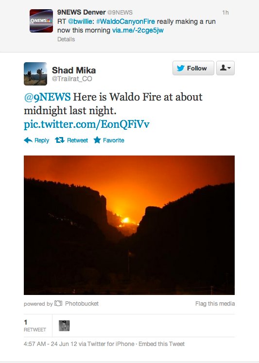
HR152 provides funding for watersheds affected by wildfire #codrought
From The Pueblo Chieftain (Chris Woodka):
The U.S. House appropriations committee Monday included $48.2 million in funds to help restore watersheds devastated by wildfires. “As Colorado continues to recover from last year’s devastating wildfires, these funds will help rebuild damaged areas and protect current watershed areas from future disasters,” said Rep. Cory Gardner, R-Colorado, who offered an amendment to the disaster relief bill, HR152, to include the funds.
The Waldo Canyon Fire near Colorado Springs and High Park Fire near Fort Collins have raised the danger of floods and mudslides in drainage areas that could affect municipal water supplies. Waldo Canyon flows degrade the quality of water in Fountain Creek, which runs through Pueblo to the Arkansas River.
The federal appropriation would be spread over 10 states where damage from fires occurred.
Colorado Sens. Mark Udall and Michael Bennet, both Democrats, applauded the action. “The House’s decision to finally provide this assistance to Colorado and other states that suffered devastating natural disasters last year is a welcome sign,” Bennet said. “Our communities need these resources to safeguard their drinking water and rebuild in the wake of last year’s terrible wildfire season.”