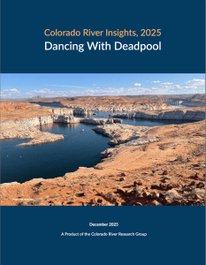
Click the link to read the article on the Wild Words website (Morgan Sjogren):
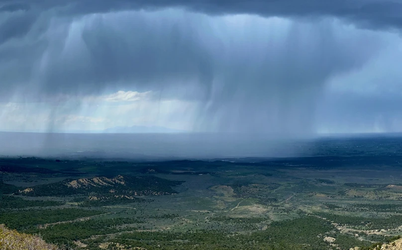
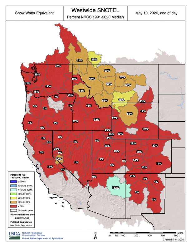
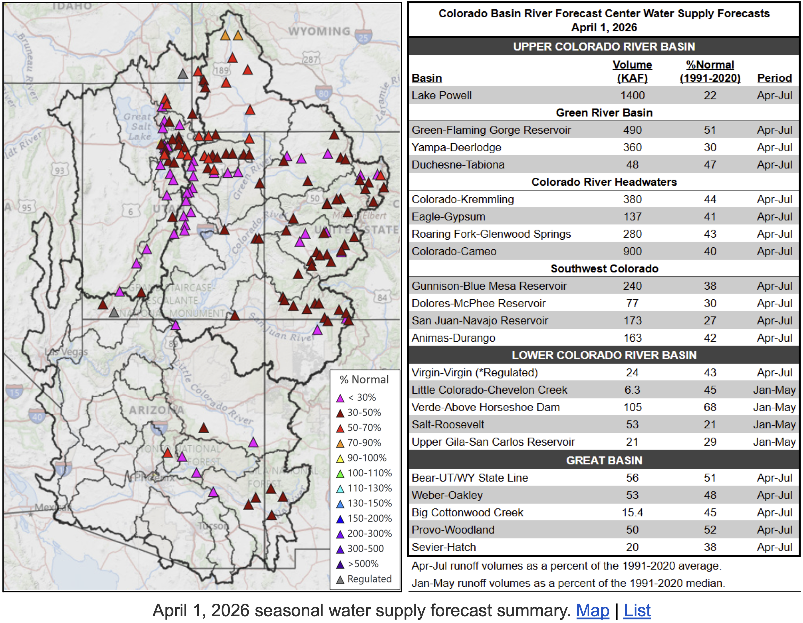
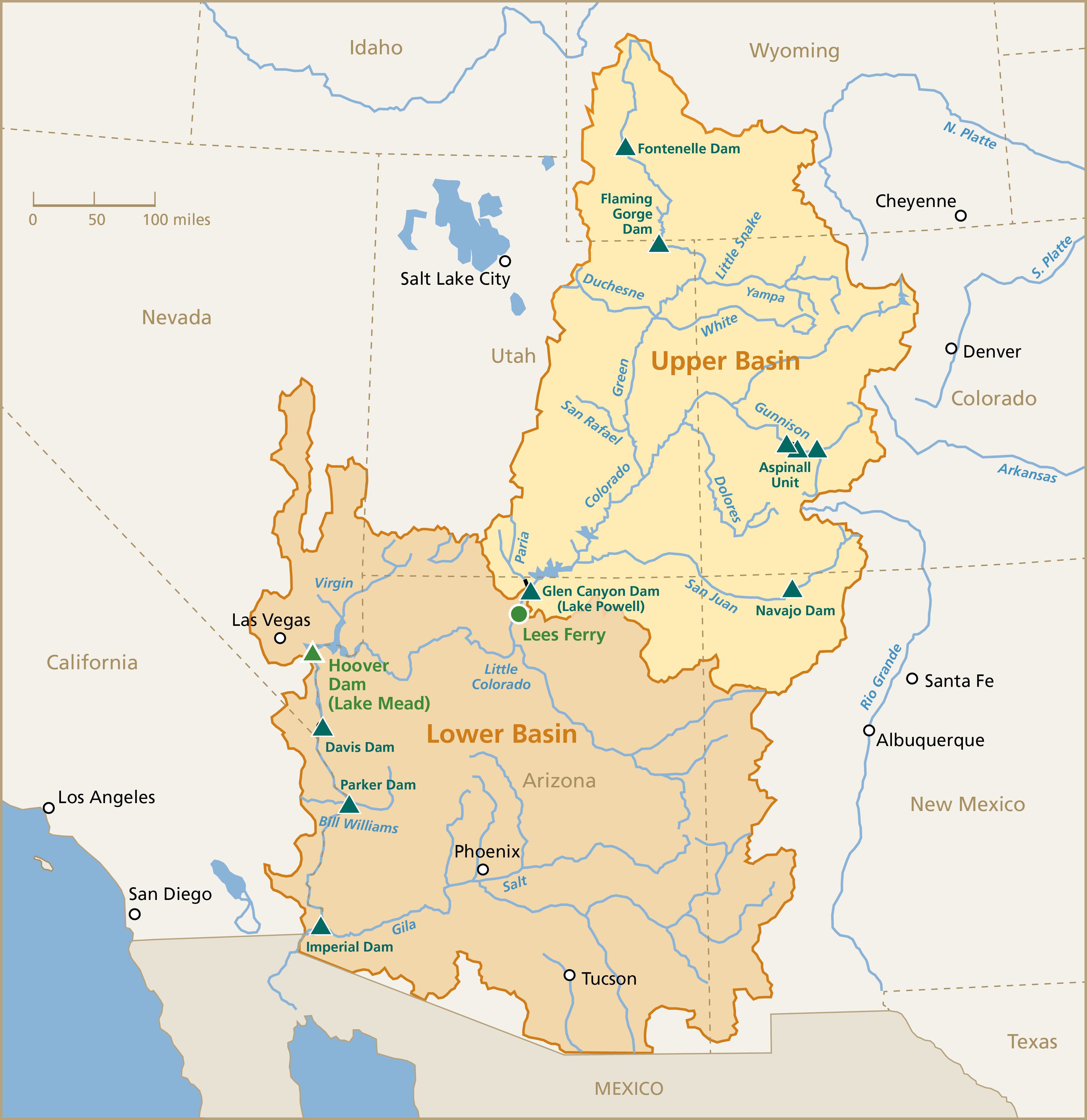
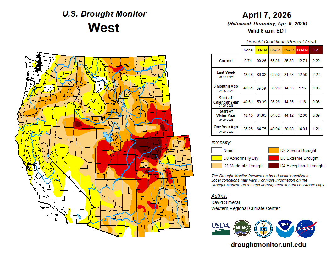
On Monday, June 15, a new cadre of representatives from seven Colorado River Basin states convened below Cataract Canyon for water negotiations. The open-air meeting was held in an eddy flanked by a thick layer of the Dominy Formation.1 Silt tumbled into the banks in low runoff conditions as the Upper Basin (Colorado, Utah, Wyoming, New Mexico) and Lower Basin (California, Arizona, Nevada) prepared statements about how to reduce over-consumption of the shrinking Colorado River.
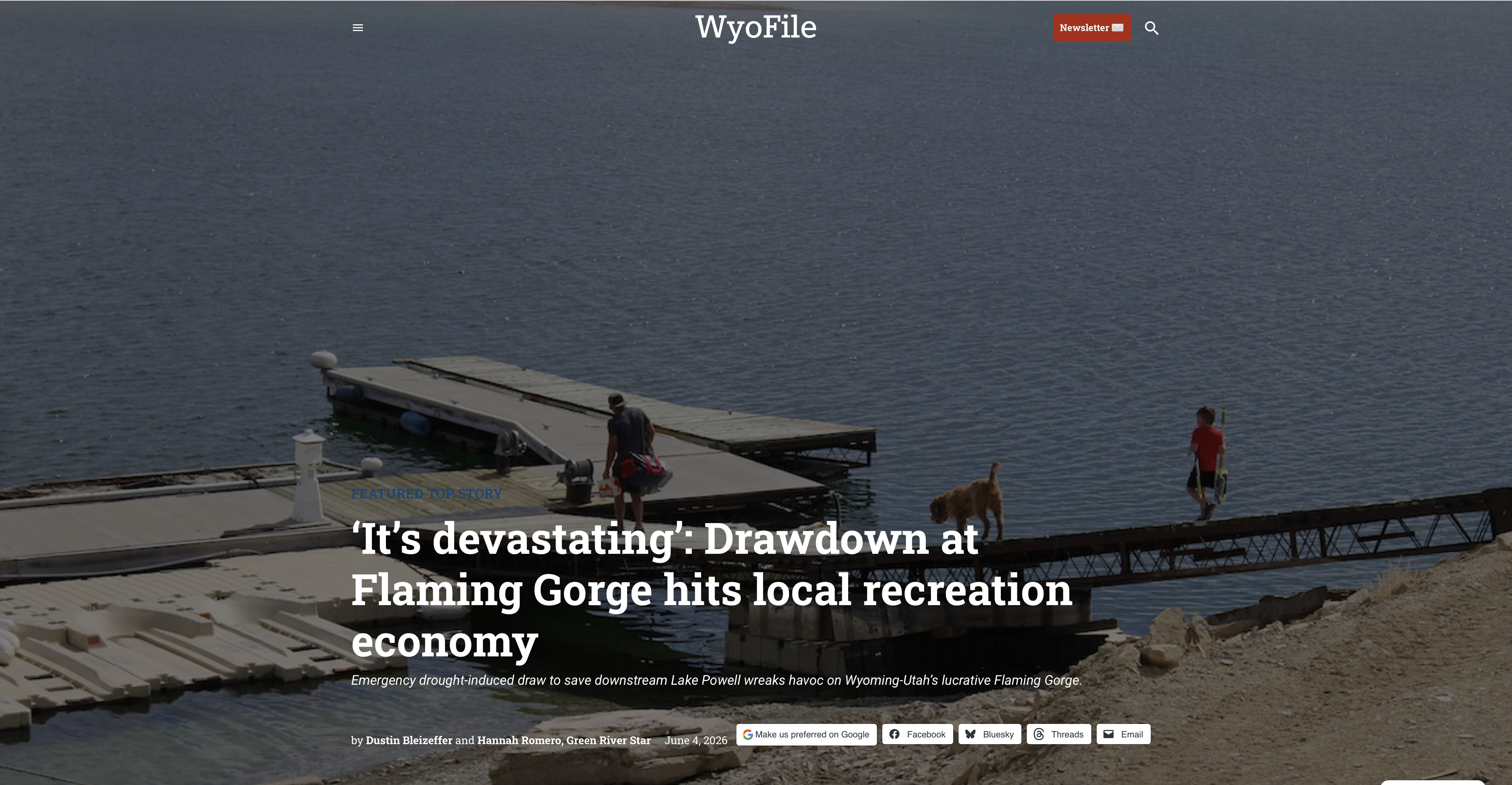
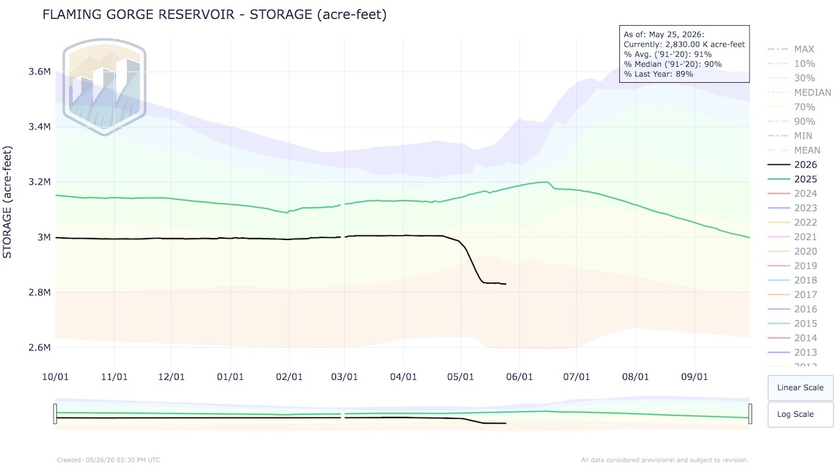
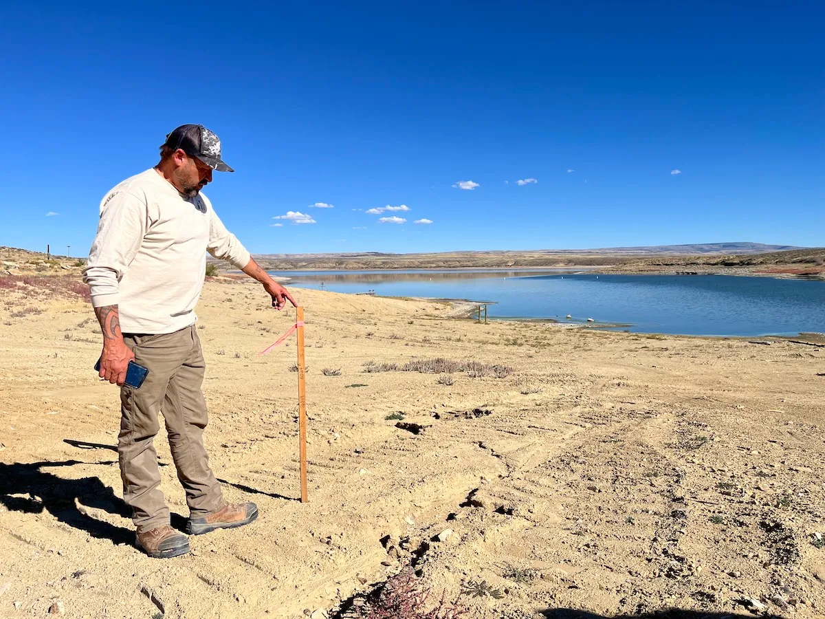
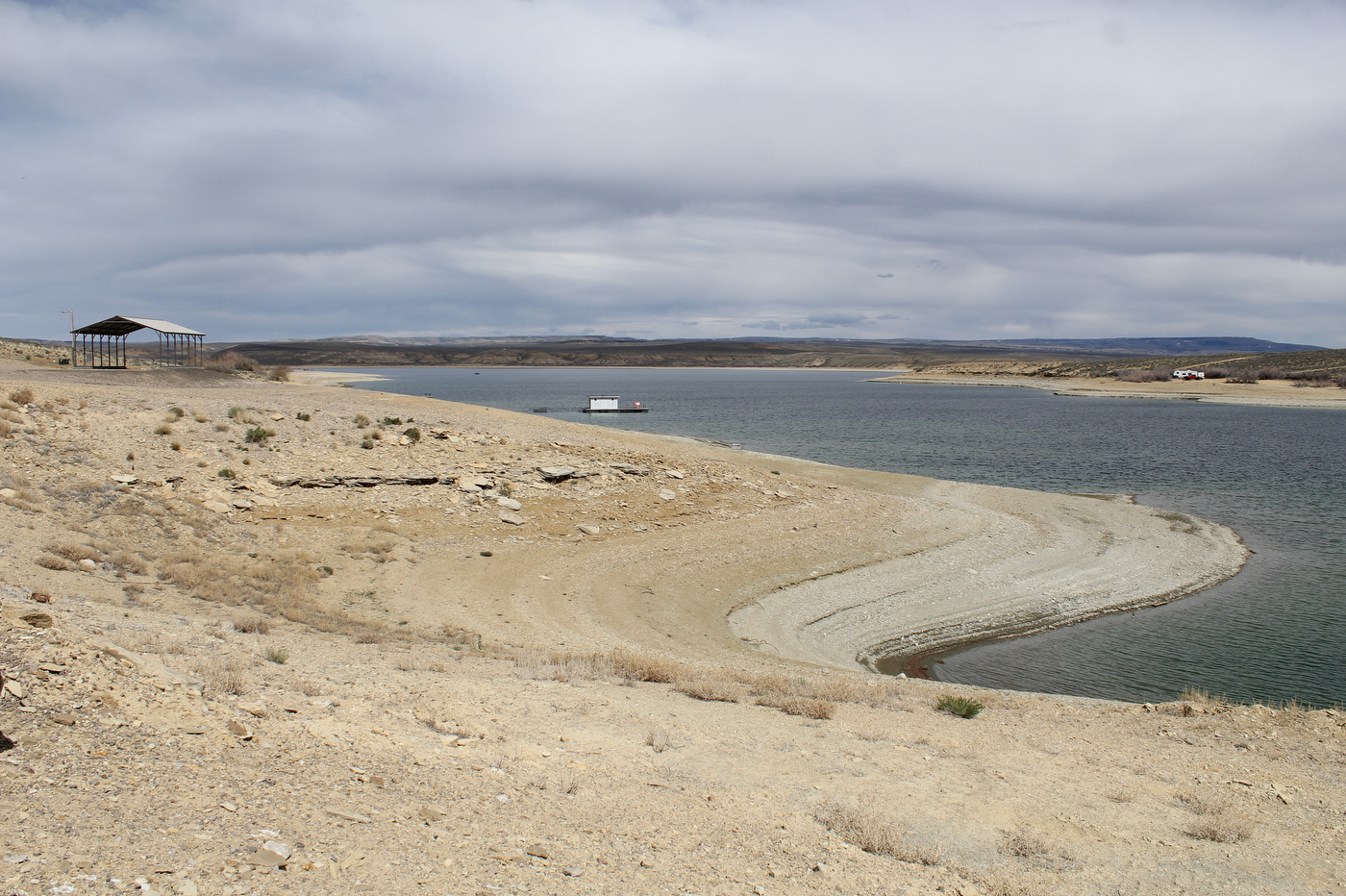
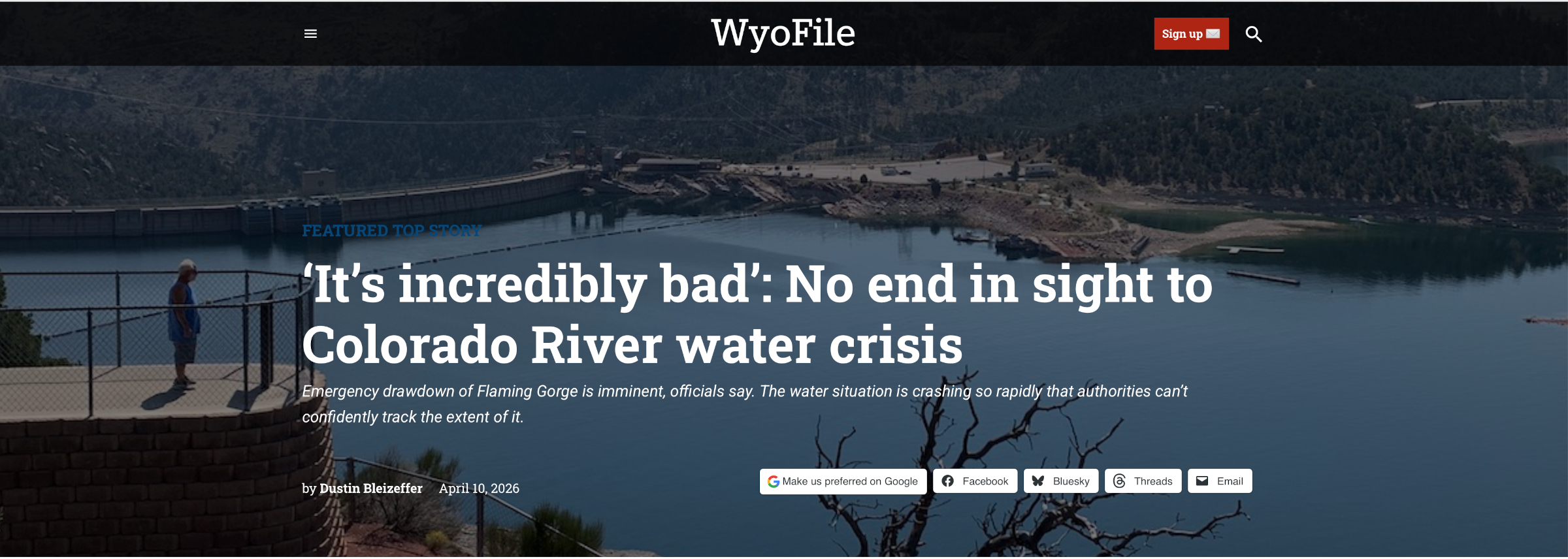
While this meeting was not public or real, it attempted to be more inclusive by allowing the river to attend. A few great blue herons and minnows also popped in. The Upper Basin kicked things off with the state rep from Colorado, who insisted they did not need to make any water cuts because Mother Nature makes those for headwater states. Utah led the group in prayer, offered to pay farmers to stop farming, and insisted that the public can be trusted to do the right thing and make voluntary water cuts. Wyoming ranted about the emergency water releases draining Flaming Gorge Reservoir, with impacts to the recreation economy. New Mexico was too stressed to speak since the Rio Grande is also running dry.
Lower Basin negotiators let a lawyer representing Nevada take the lead while boasting their effective long-term water-saving measures. California reminded everyone that it is the fourth-largest economy in the world, and that stronger municipal water conservation efforts are underway. Arizona presented the dire effects to the state when water to the (junior rights status) Central Arizona Project is cut. Still, all three states agreed to cut Colorado River water use.
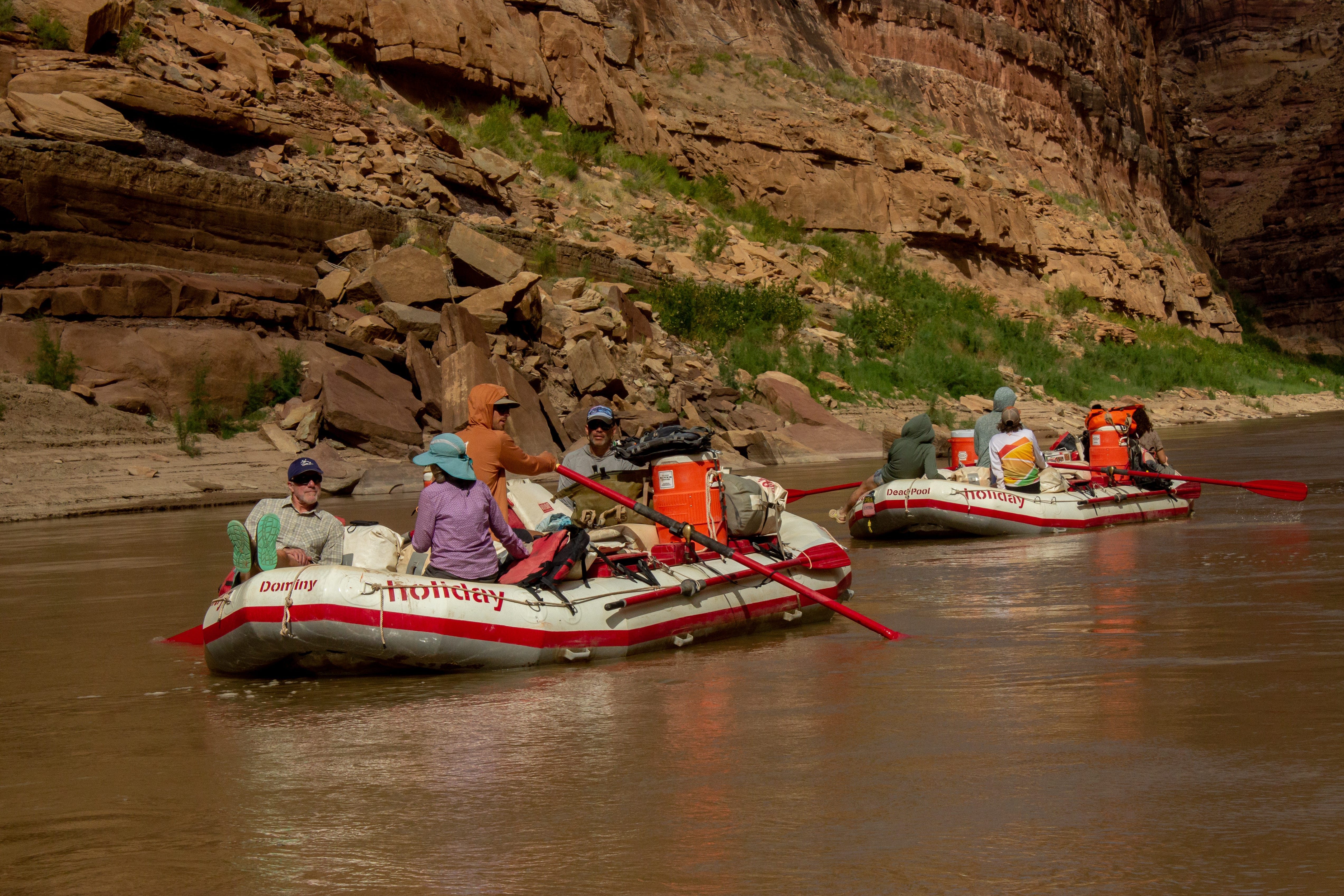
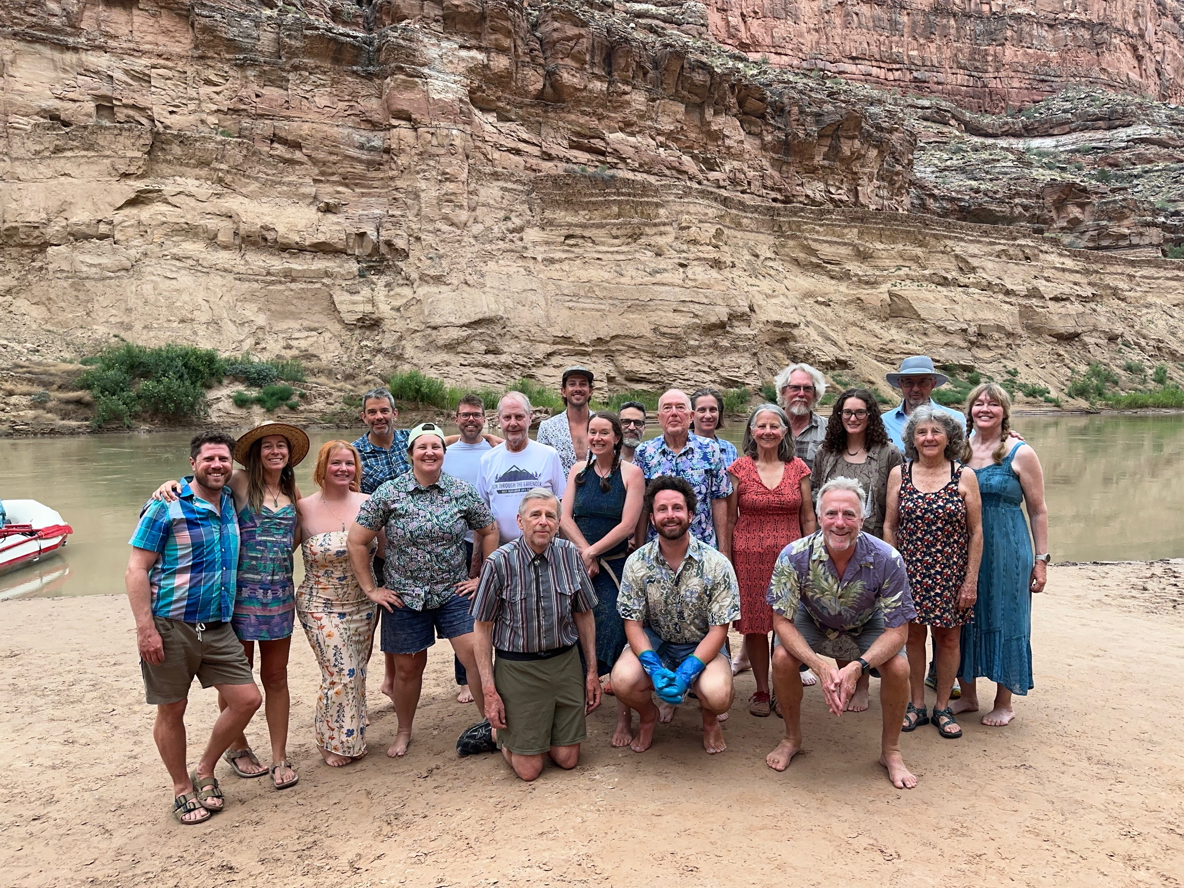
The impromptu Colorado River standoff theater was not real. It was a beach game intended to explain water overallocation. That it still resulted in imaginary litigation speaks loudly to this moment in history. The ability to take this lunchtime activity a little too literally was also because the participants were members of Glen Canyon Institute and guides for Holiday River Expeditions. These shenanigans took place in the final hours of a five-day river trip in Cataract Canyon to support GCI’s ongoing efforts for the restoration of Glen Canyon.

The group was certainly highly astute to Colorado River current events to throw down such an intricate dialogue on the spot. Instead of making a list of the very real solutions to distribute Colorado River water to forty million people, the group recognized what is literally standing in the way: seven state representatives who are just as responsible for the looming potential for a Colorado River crash as Glen Canyon Dam.
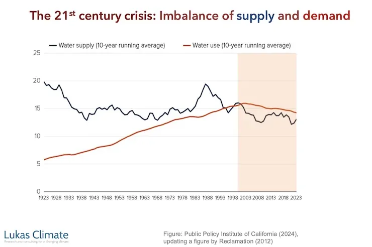
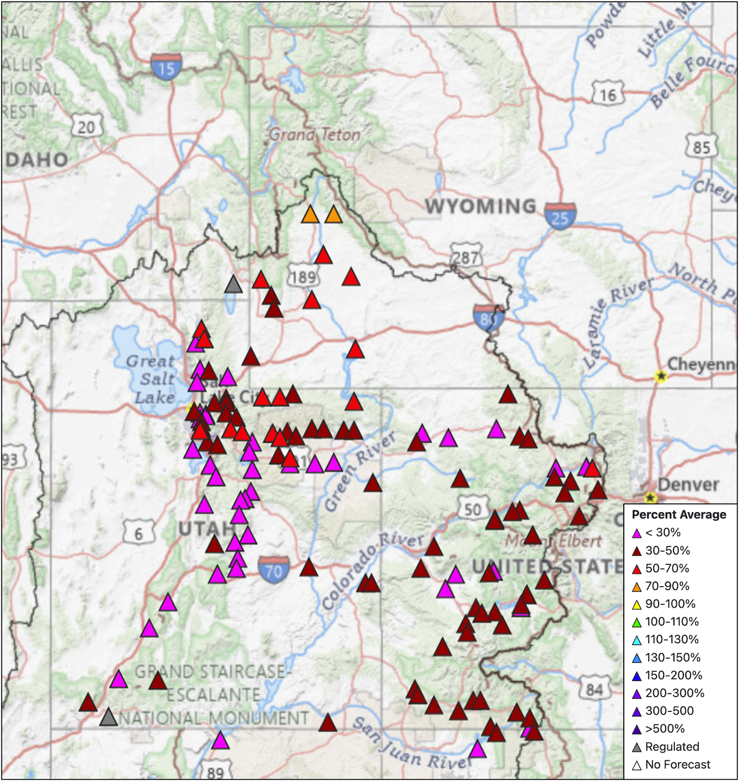
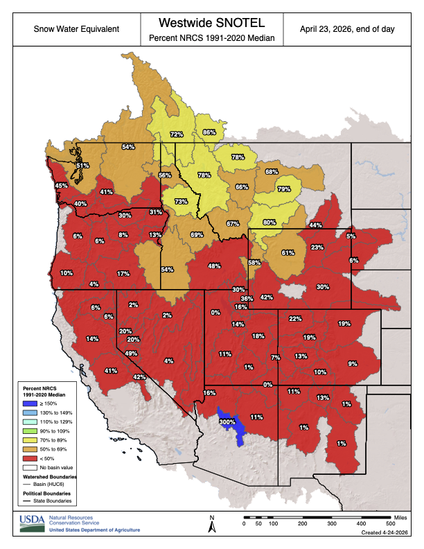
The basin-wide impasse is by far the most frustrating aspect of explaining the current problems and future management of the Colorado River. The potential solutions are abundant, even obvious. Everyone in the basin needs to use less water.
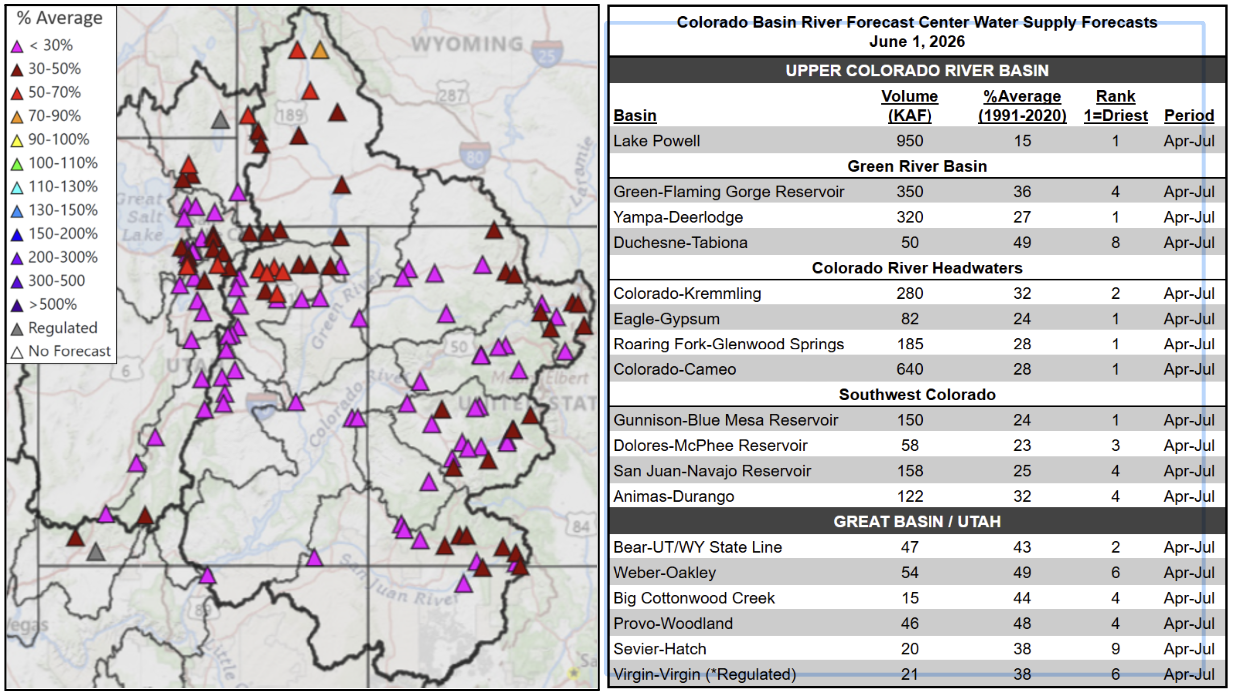
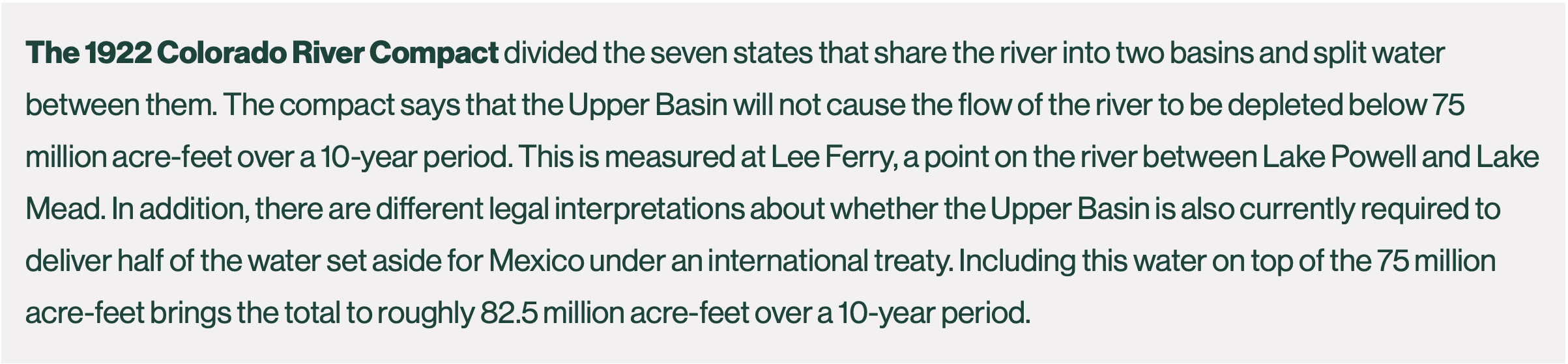
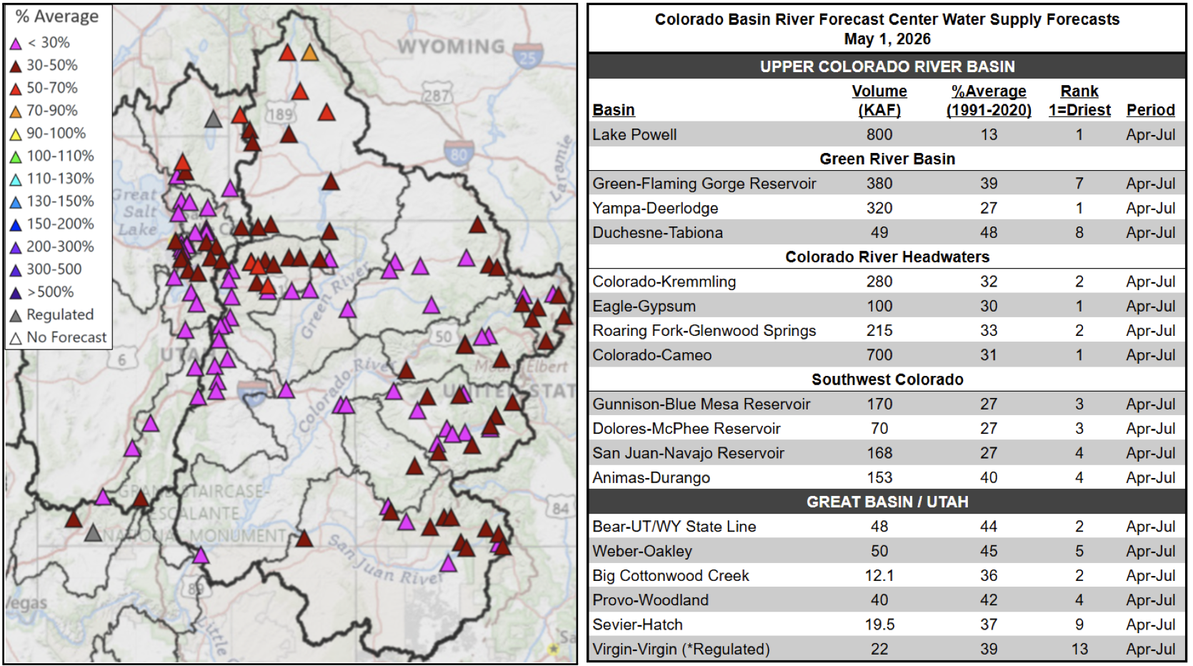
Other critical changes, like giving all thirty Colorado River-connected tribes a seat at the negotiating table and updating the 1922 Colorado River Compact to actually meet river flows where they are at in 2026 (an average of 12.5 million acre-feet down from 15 million acre-feet a century ago), are long overdue. Not to mention, ensuring the Colorado River’s right to flow, in line with the Colorado River Indian Tribe’s legal personhood status for the river under their Tribal law.
Beyond the dam, is the Colorado River’s most glaring problem, both concealed and amplified by the water crisis-–is this what democracy is supposed to look like? And what can a citizen of the Colorado River watershed actually do about it?
Despite this broken system, advocacy, especially in the long-term, can move the needle. Until recently, opposition to Glen Canyon Dam was viewed by some as a fringe environmental cult.
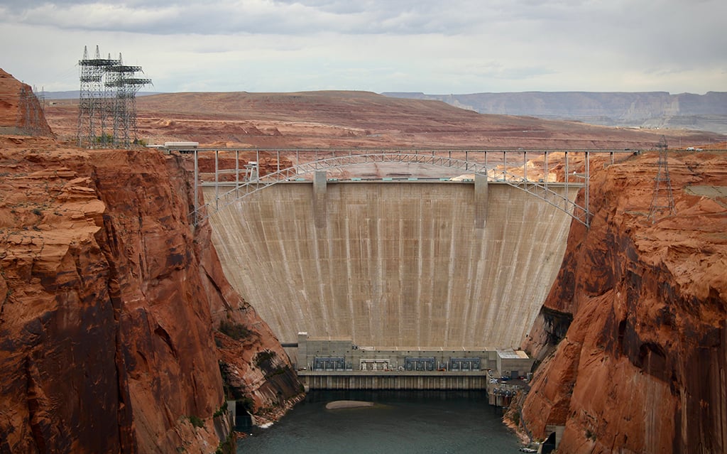
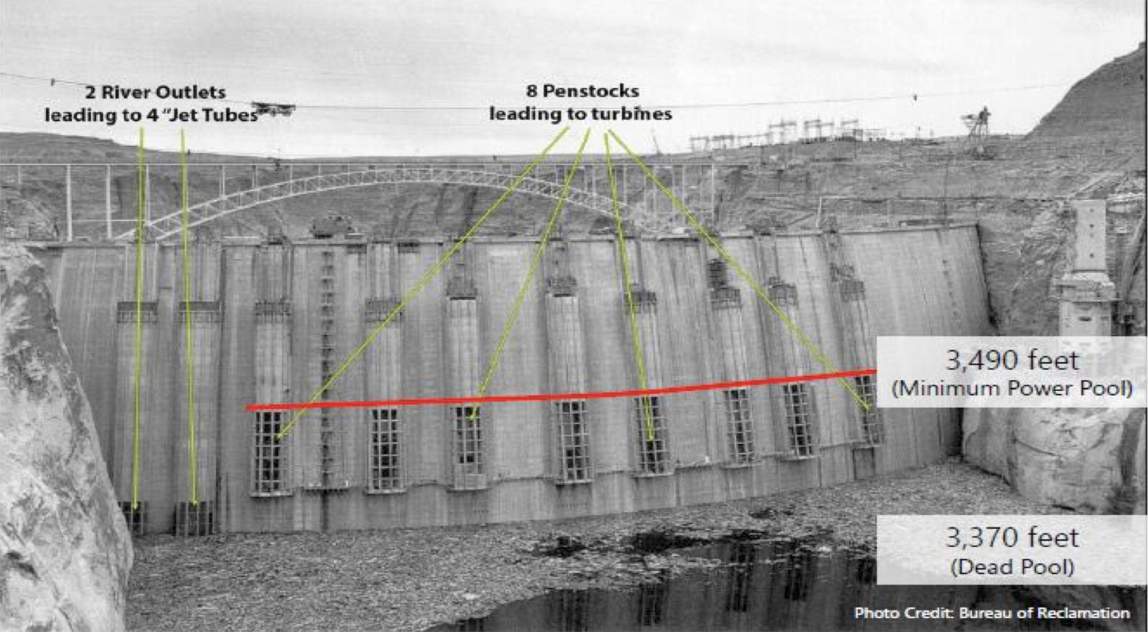
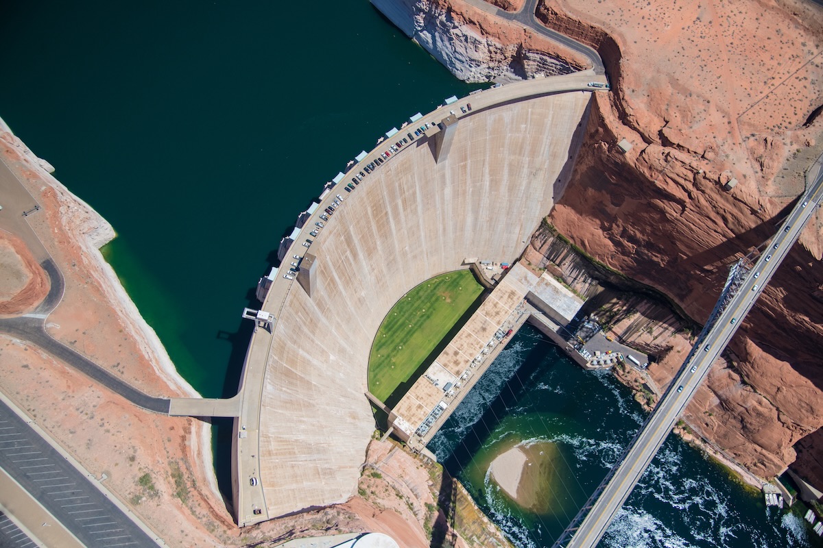
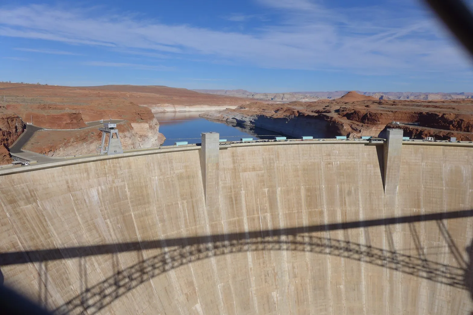
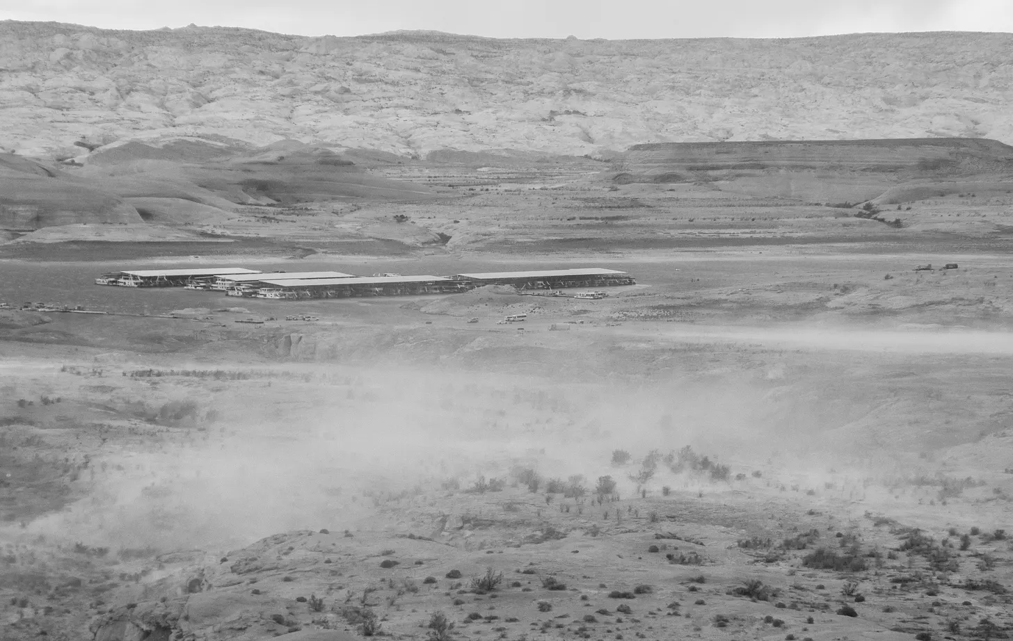
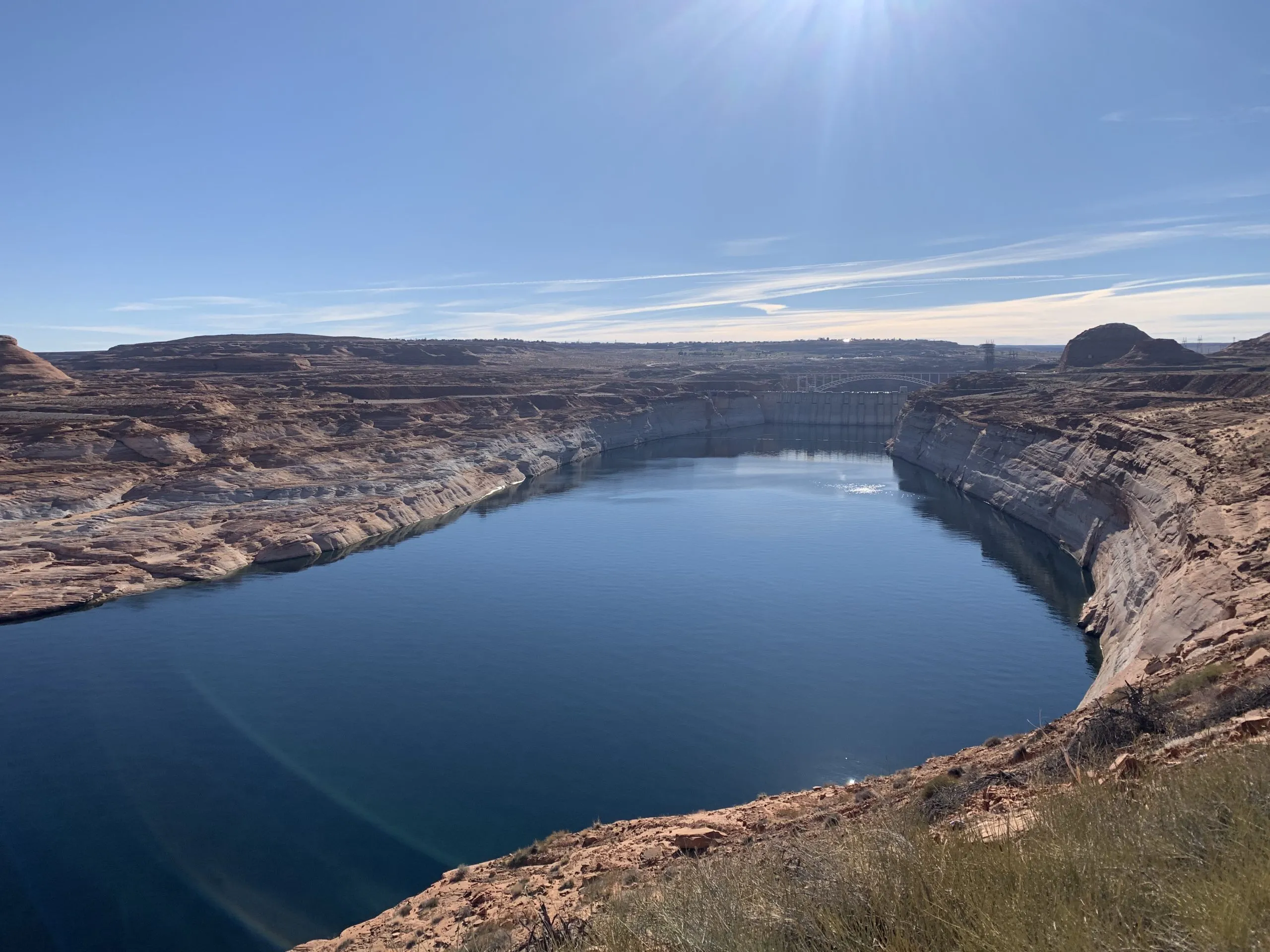
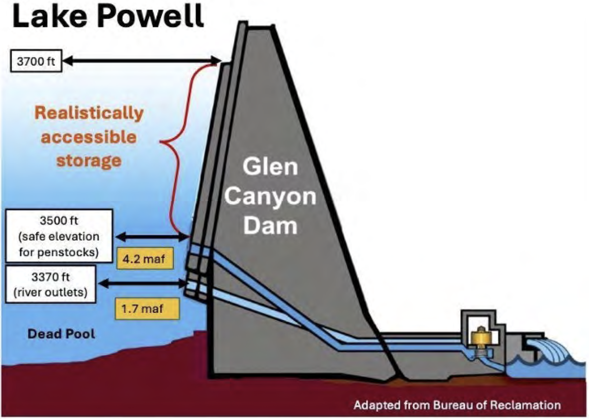
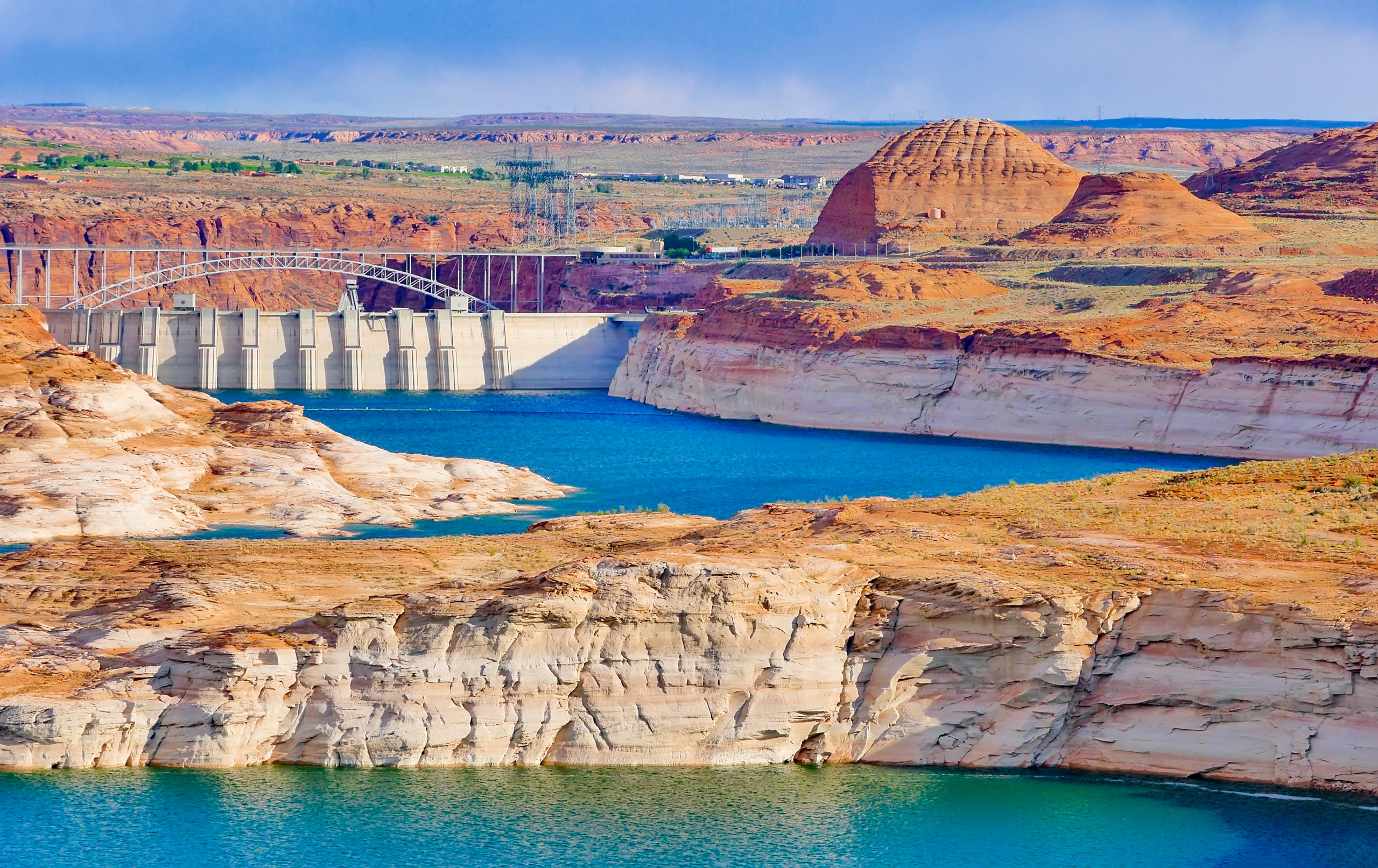
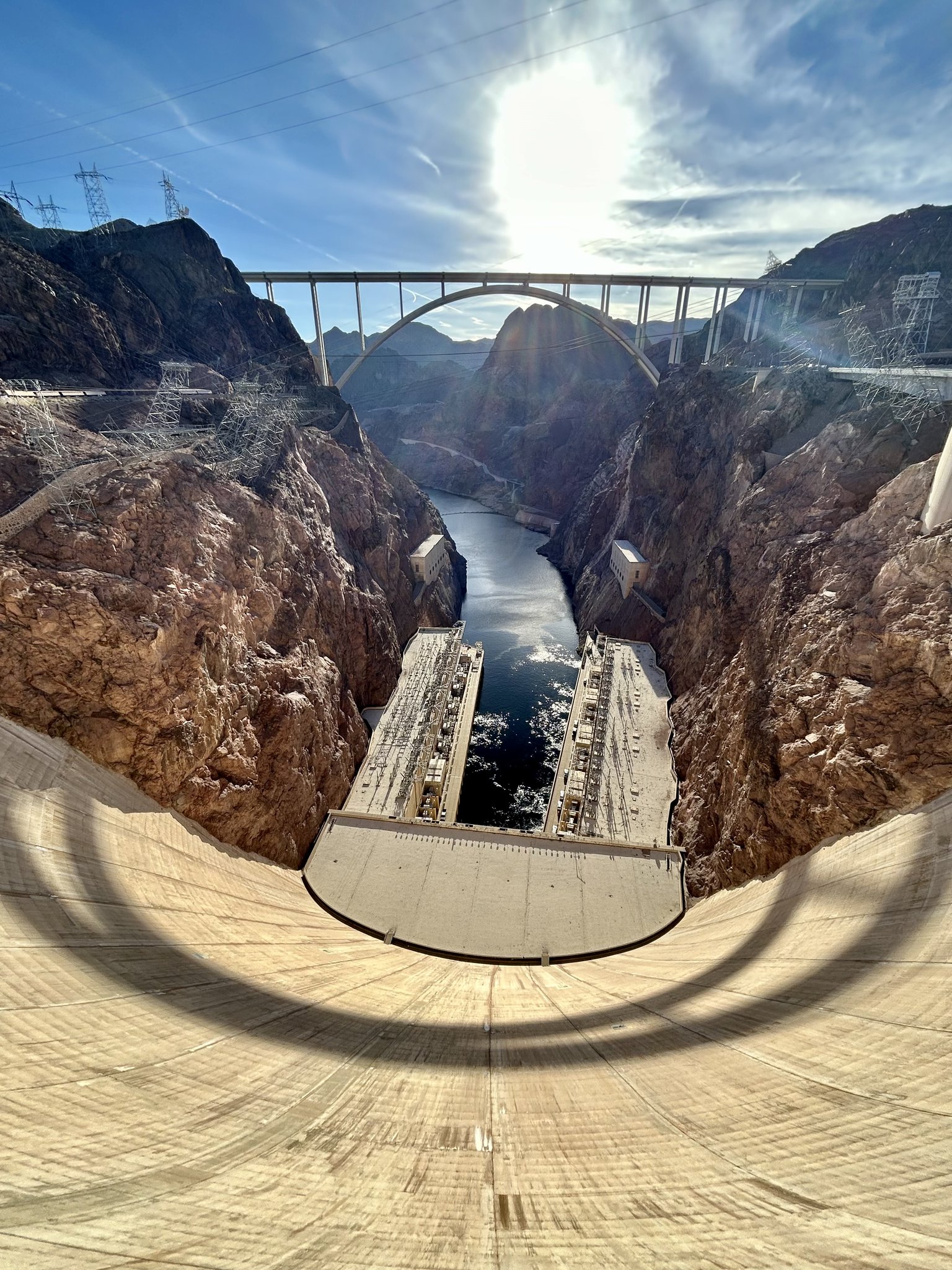
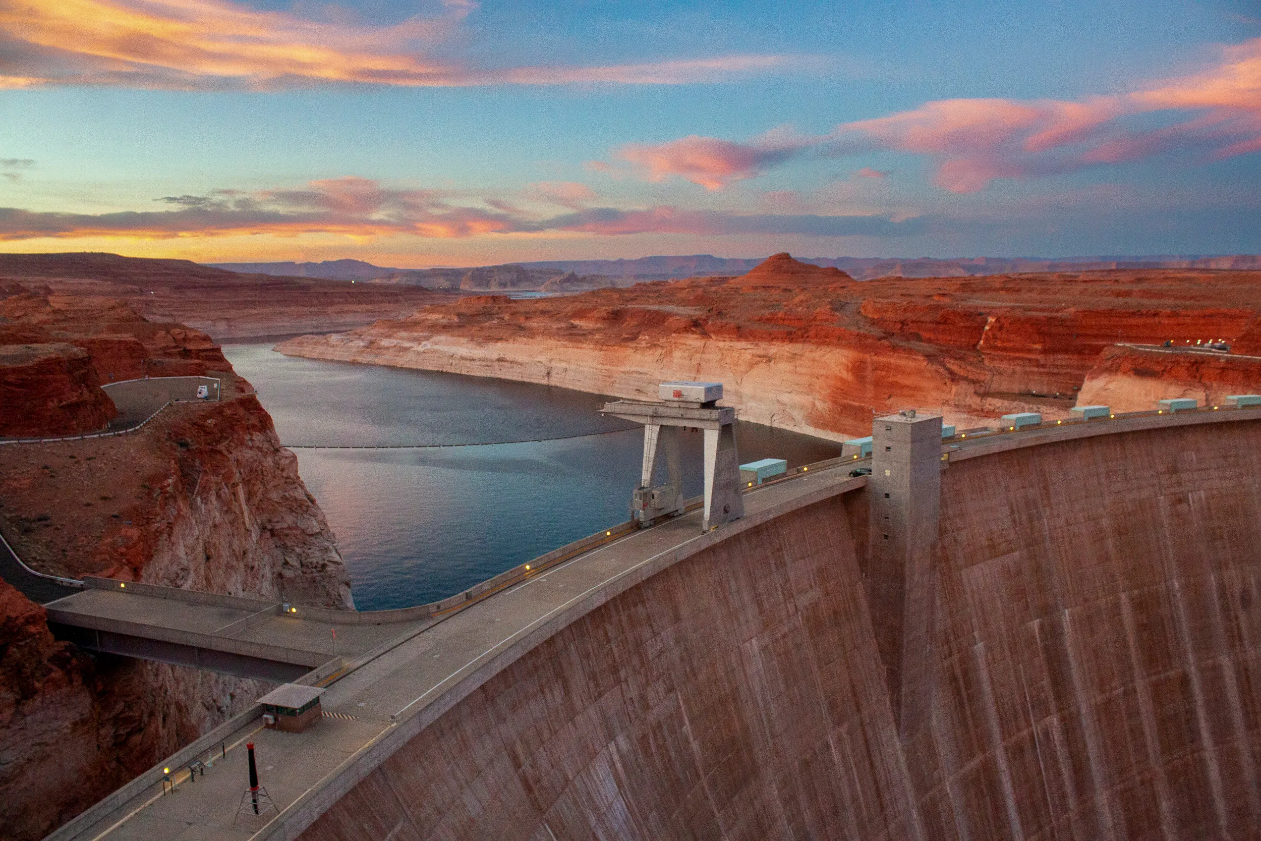
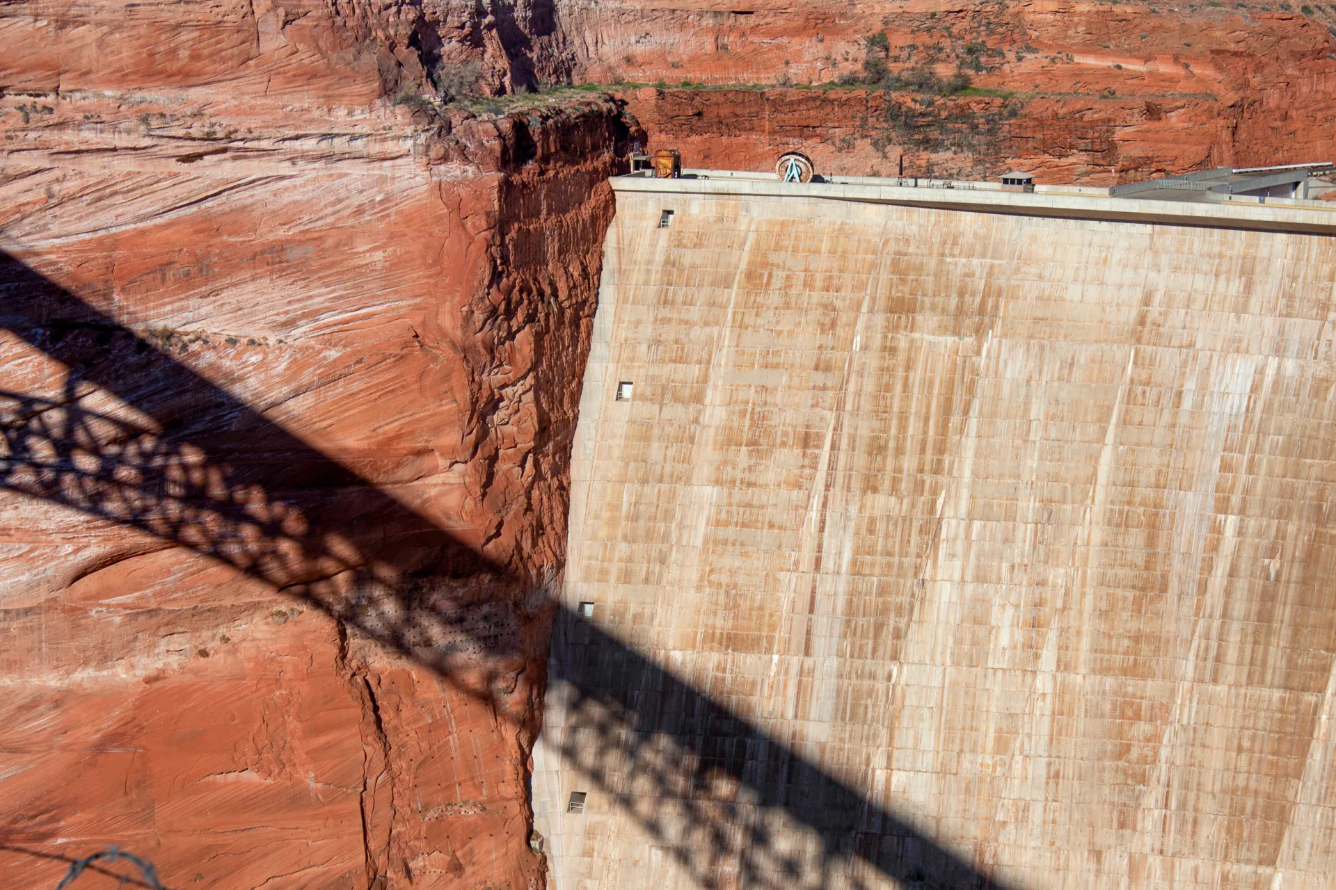
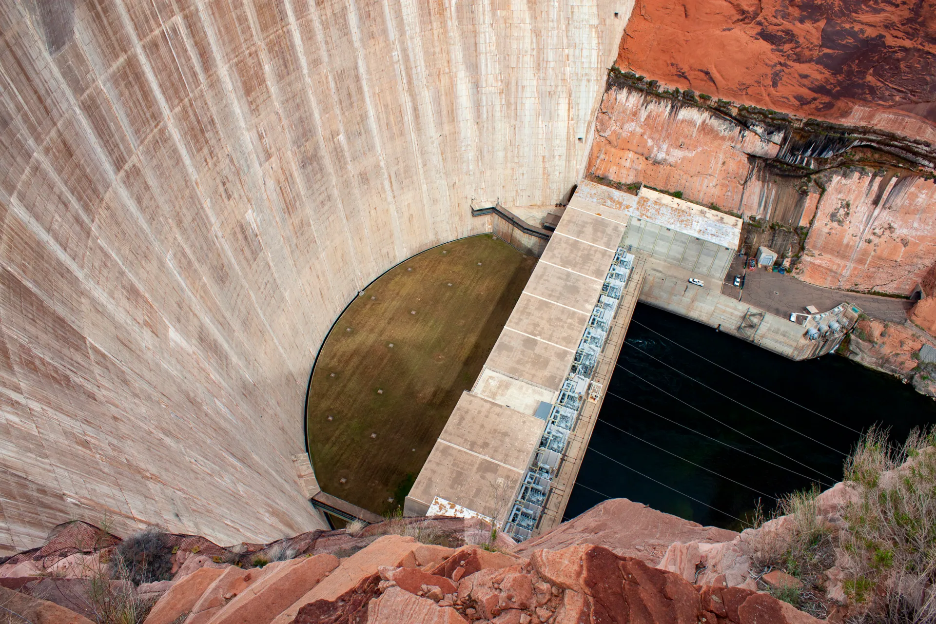
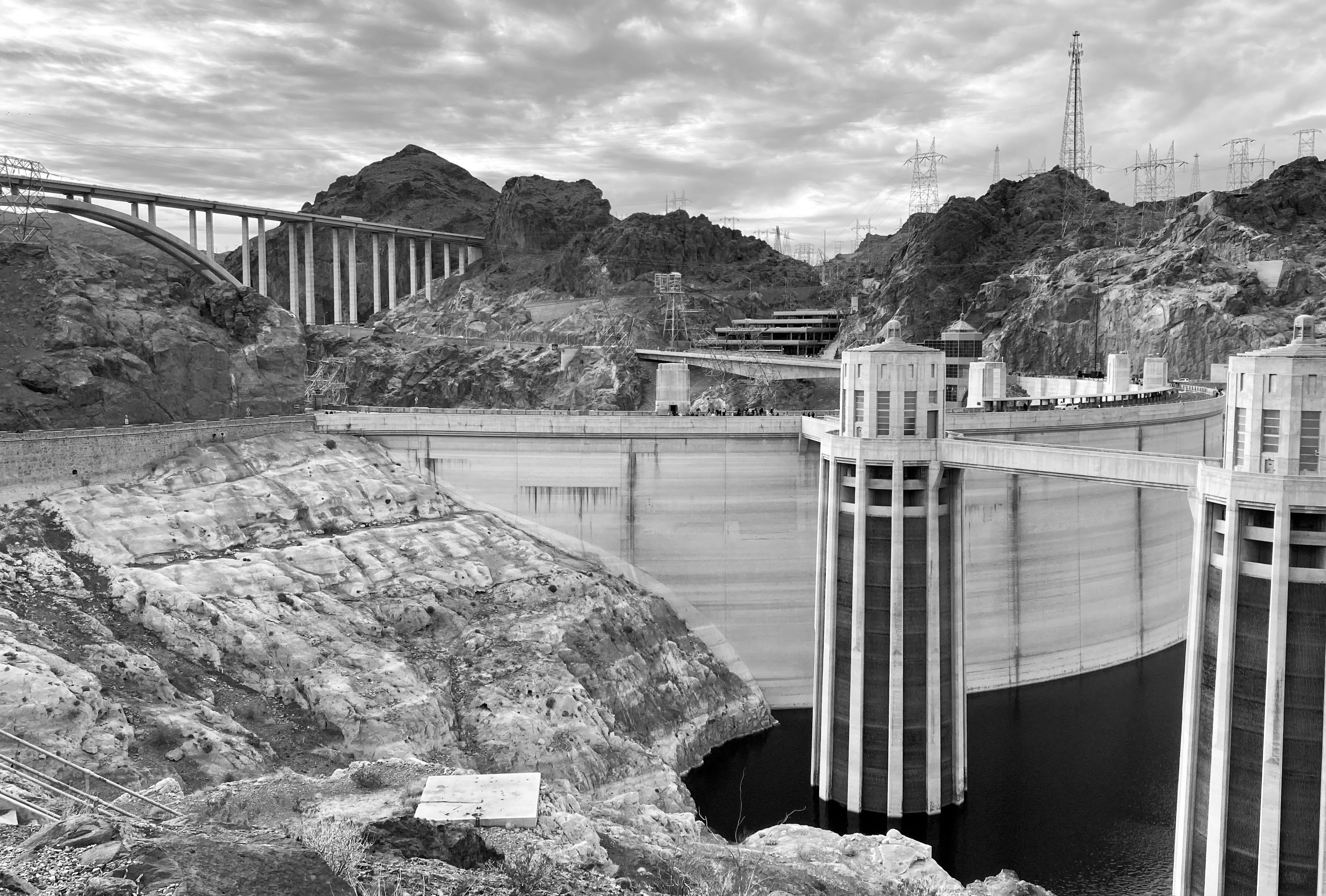
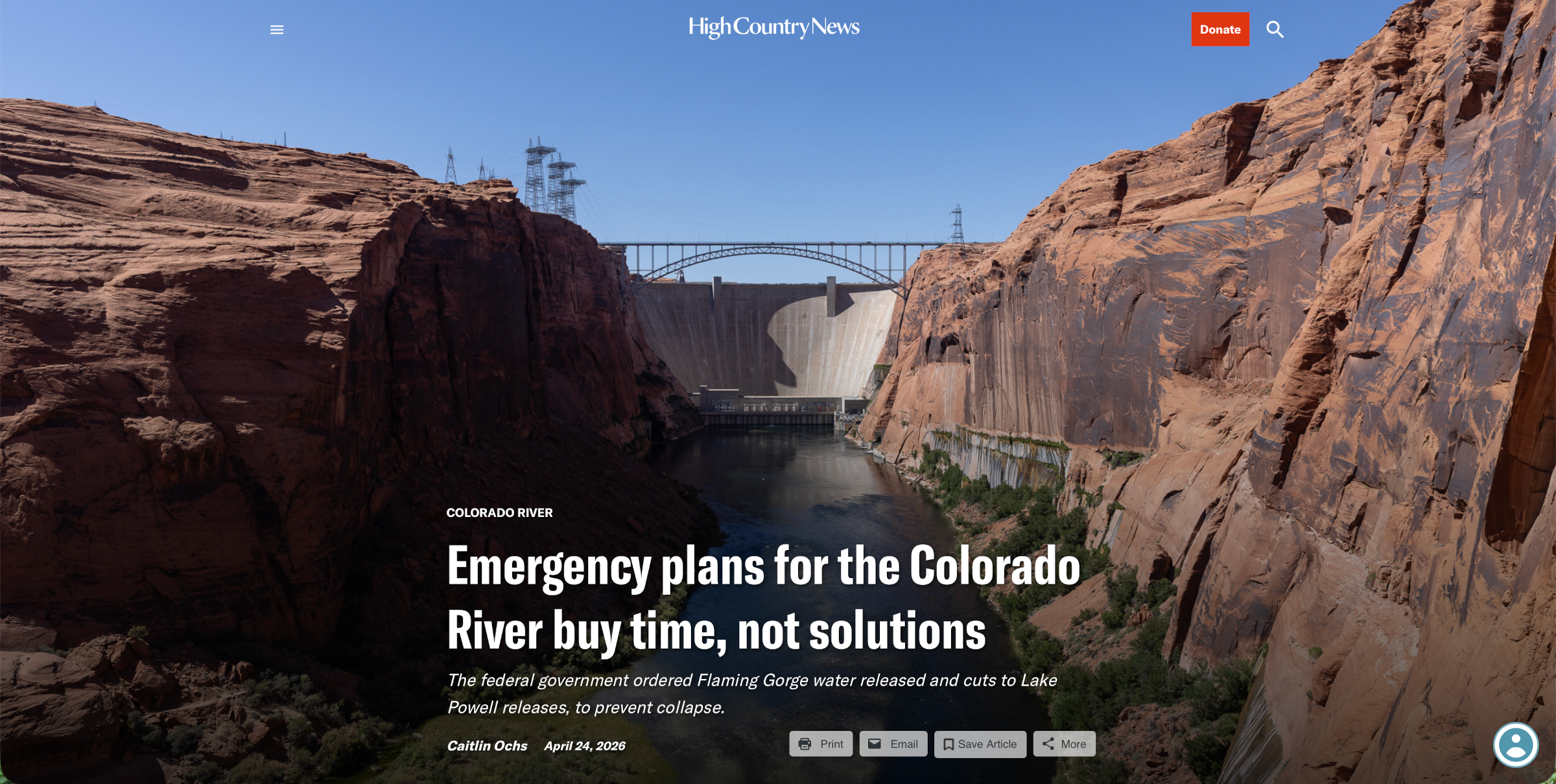
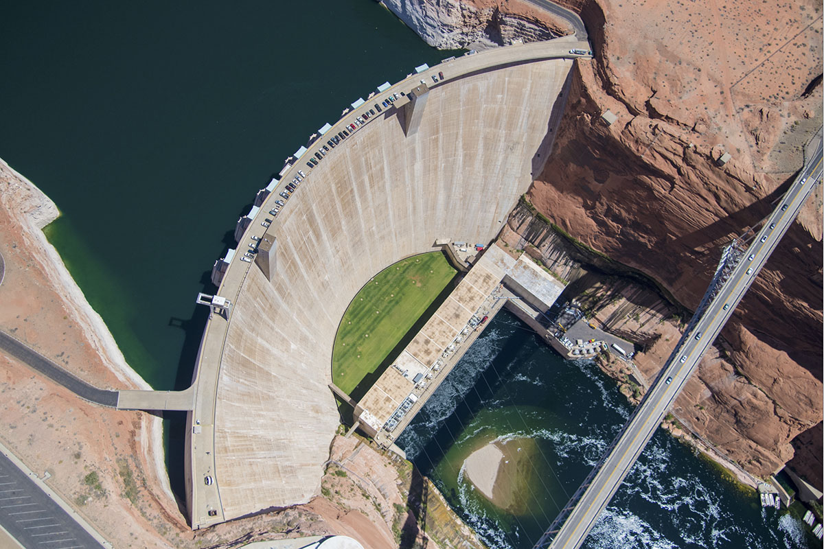
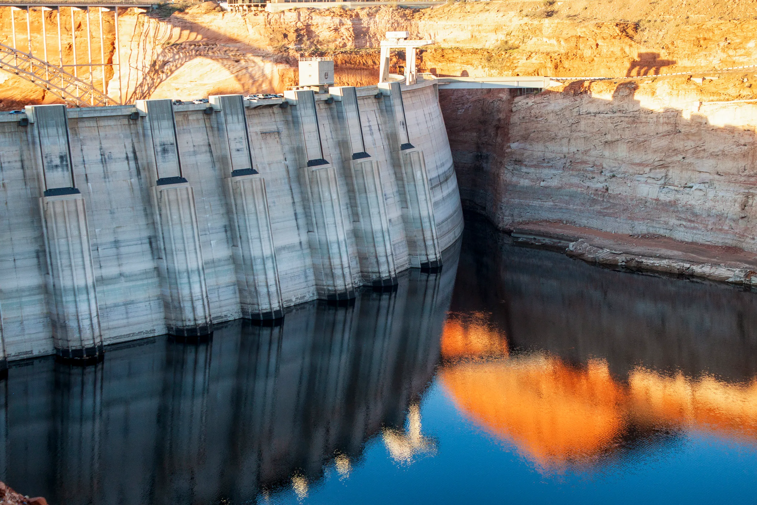
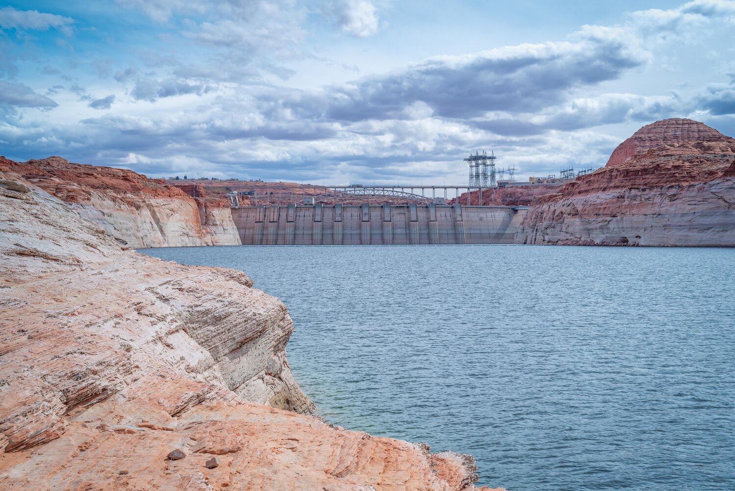
Yet Glen Canyon Institute has maintained a constant presence on the front lines of this issue. Since 1996, GCI “embarked upon a multi-year campaign to protect and restore Glen Canyon and reverse the decline of Grand Canyon’s fragile ecosystem.” The Fill Mead First plan takes a hard look at the long-term realities of keeping two major reservoirs, Powell and Mead, more than half empty. Then, in 2024, the Bureau of Reclamation made an announcement that opened minds (and some hearts) to consider that Glen Canyon Dam is a major part of the current problem.
Through persistent love and devotion of these advocacy efforts, awareness for the recovery of Glen Canyon continues to gain momentum. So does dealing with Glen Canyon Dam’s outdated infrastructure which is becoming more mainstream and realistic everyday. In a recent letter, the Lower Basin states urged the Bureau of Reclamation to make dam modifications.2
While it is electrifying to be on the pulse of a major change that stands to benefit Glen Canyon and the lower Colorado River, the current negotiation process is still a dystopian nightmare circus.3
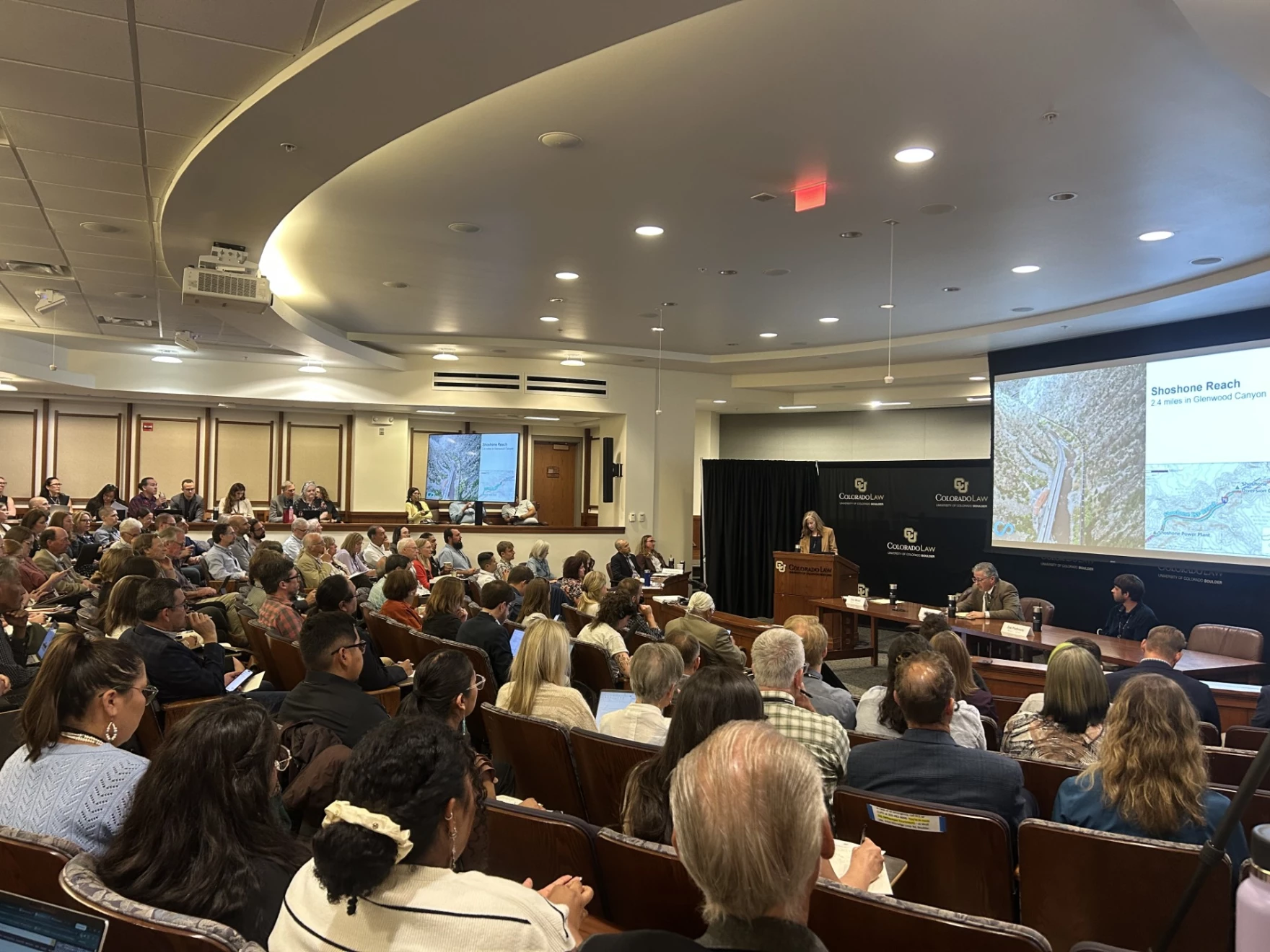
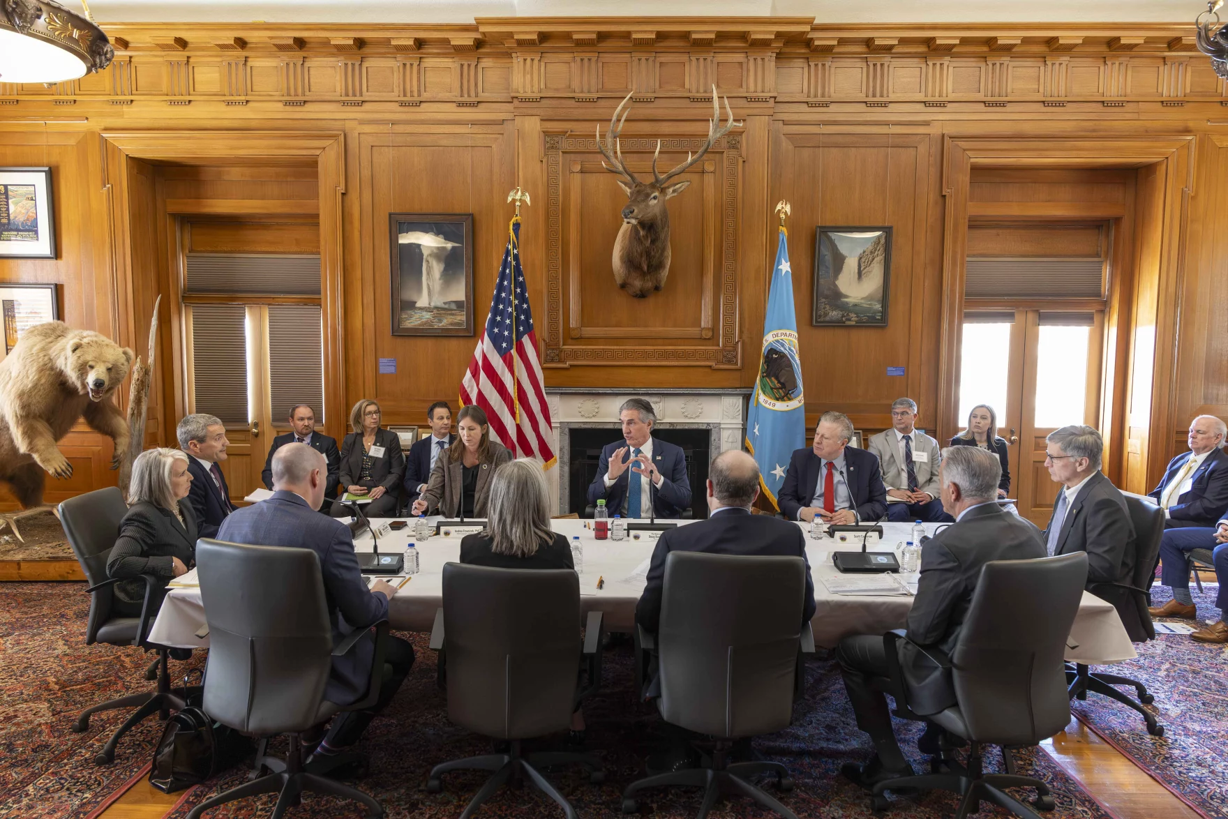
During the GCI member trip, new bets from the states and cards from the feds were again being waged. Colorado River states traveled to Washington, D.C., and testified in front of the Senate Energy & Natural Resources Committee. Meanwhile, without a consensus proposal between states, the feds are drafting up a plan to be released next month. The White House will need to sign off on the plan. Litigation by at least some of the states is expected.
Utah reps are urging a withholding of federal spending on states that choose the courtroom. Utah Sen. Mike Lee stated, “Taxpayers should not be asked to subsidize litigation among states.”4 More promising, Lower Basin states announced a Memorandum of Understanding for the San Diego Water Authority to sell surplus desalination water to these states to offset Colorado River water use.

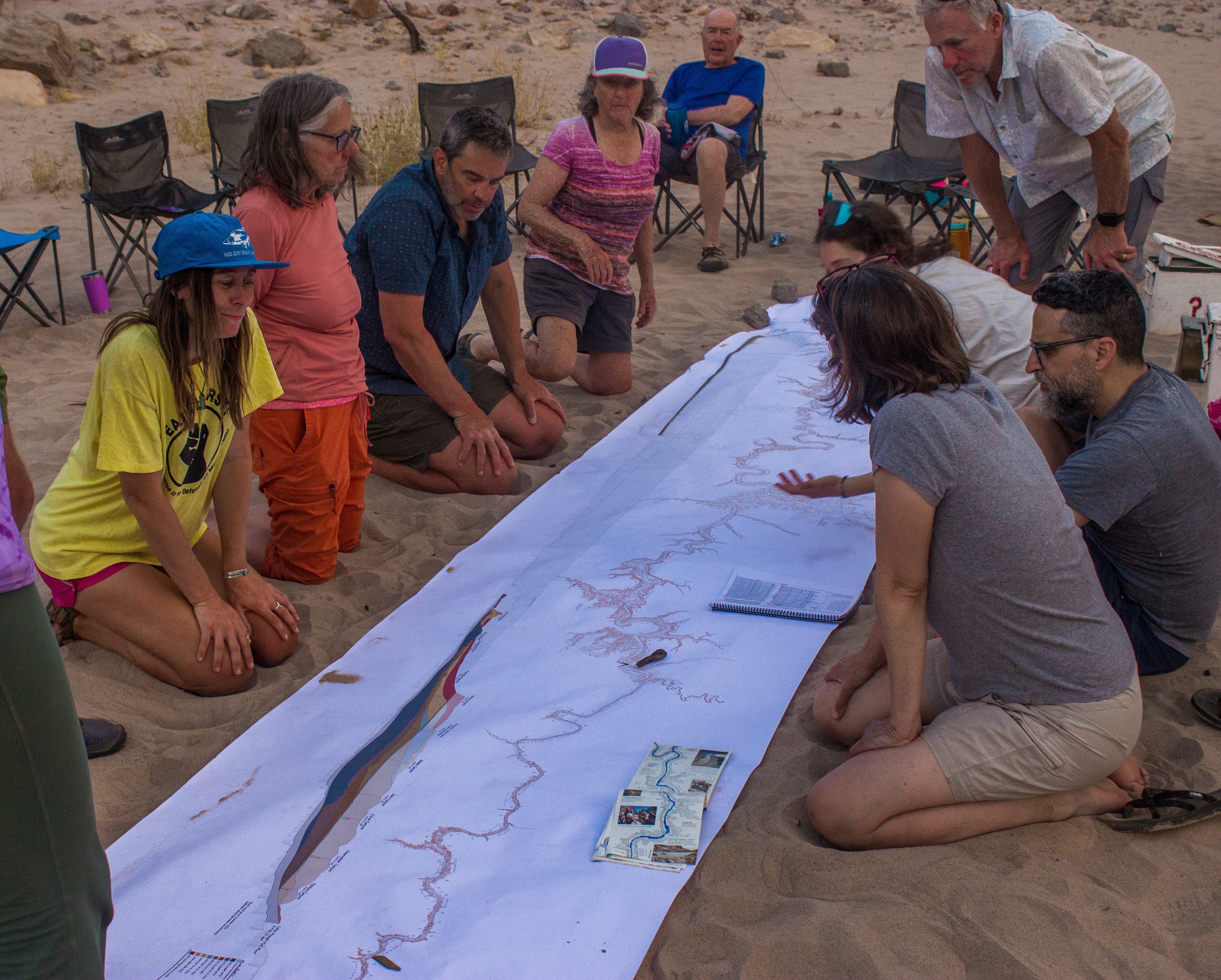
For some folks, like myself, this shit show is so fascinating that we are keen to immerse ourselves in the muck. However, even if you care deeply for the Colorado River, this can be overwhelming, especially amid the persistant horrors of this era. Naturally, our instinct may be to turn away. This came up during a riverside policy talk on the trip led by GCI’s projects and development manager Anna Penner and me. With so much going on and the constant information overload online, it is important to trust your gut instinct and give yourself space away from the news. Just don’t pull your heart from the Colorado River itself. [ed. emphasis mine]
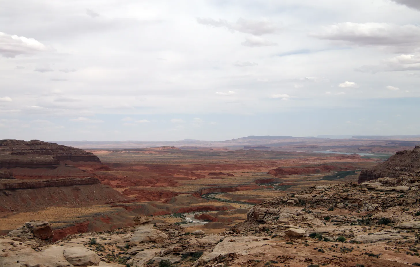
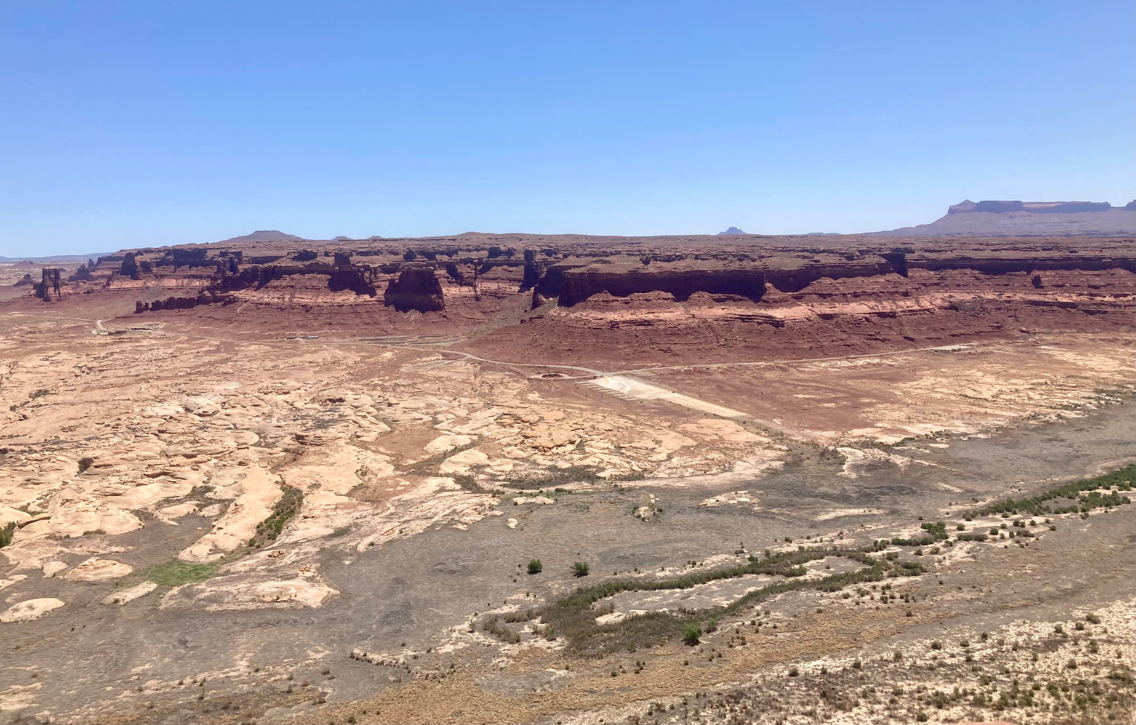
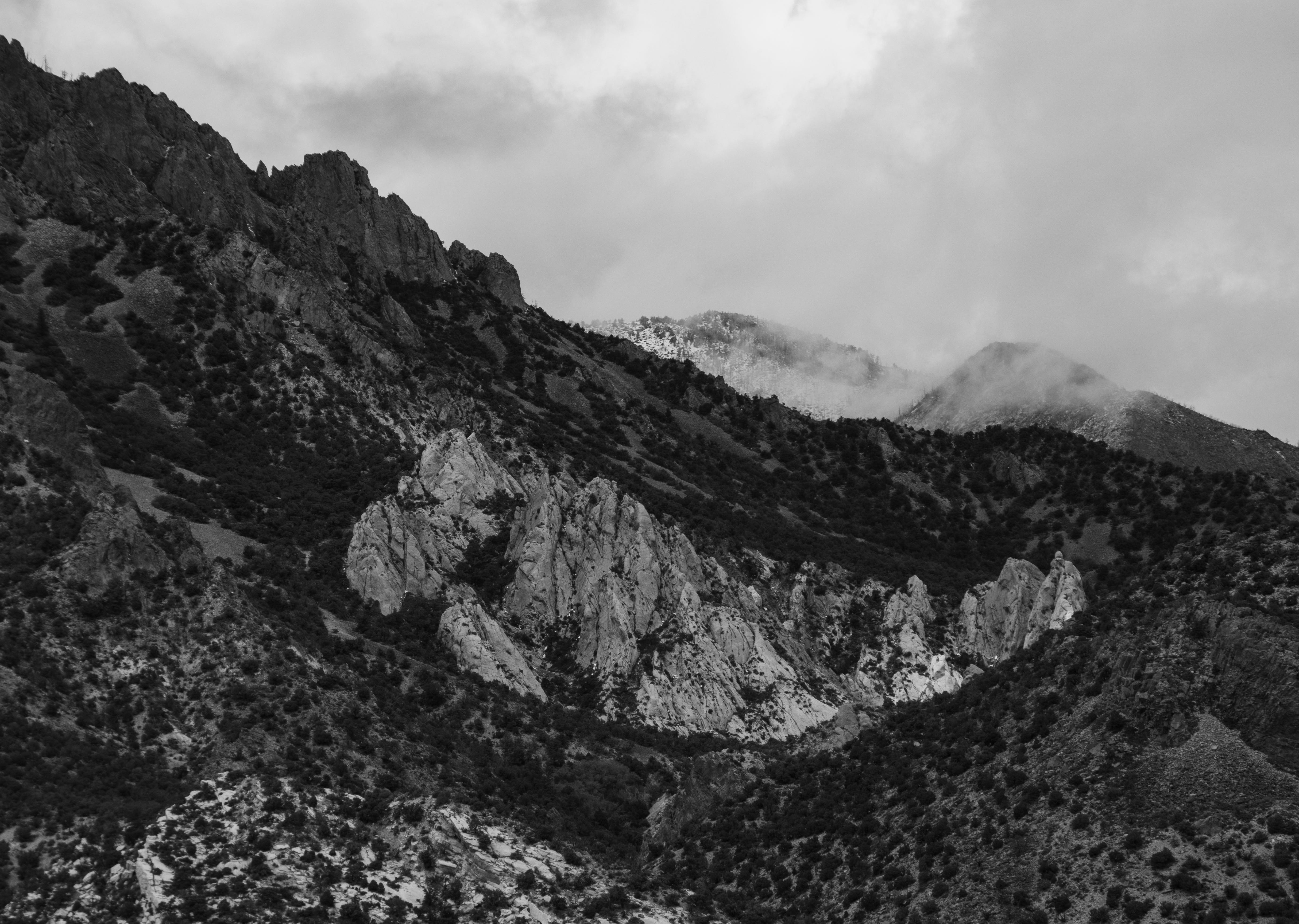
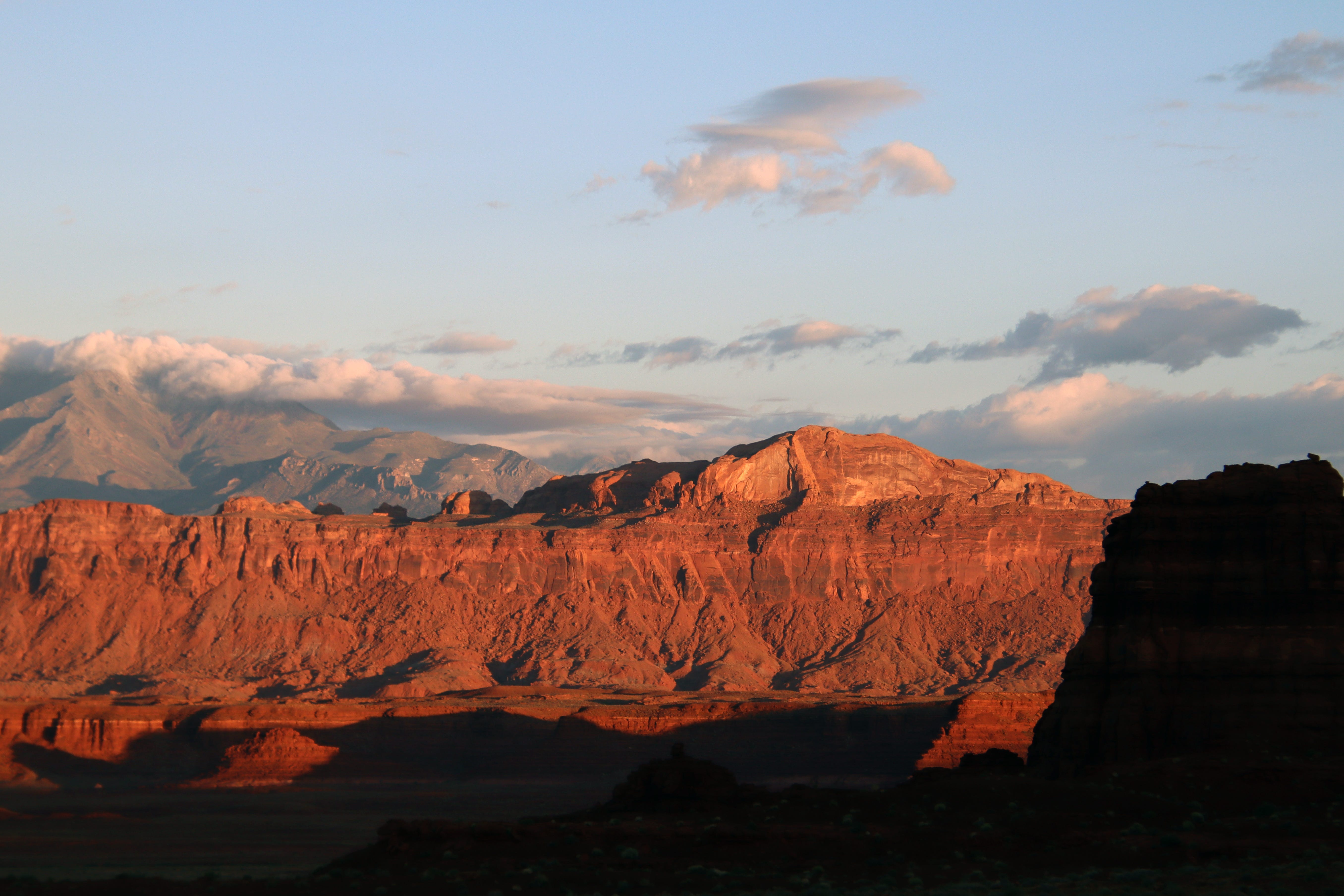
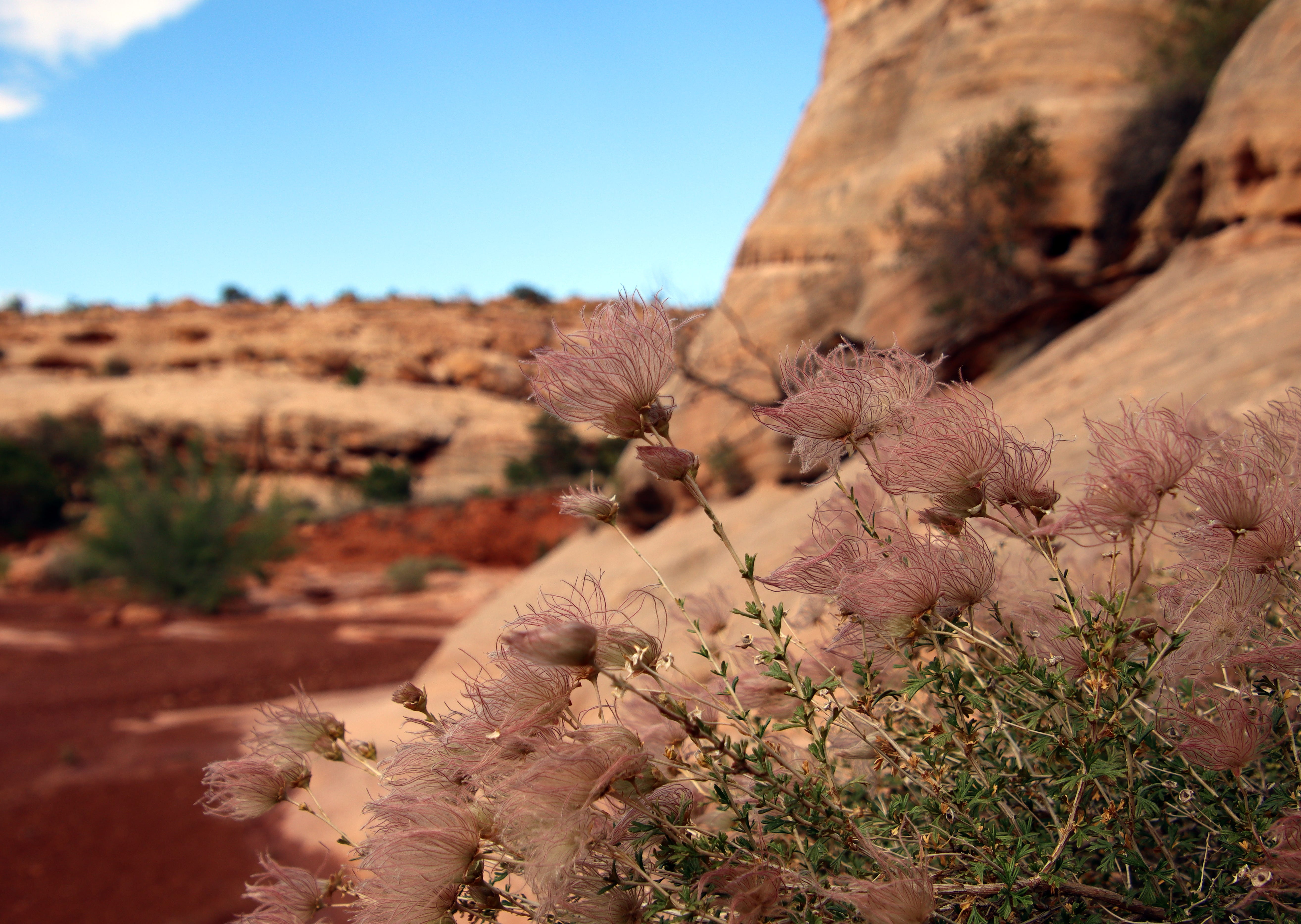
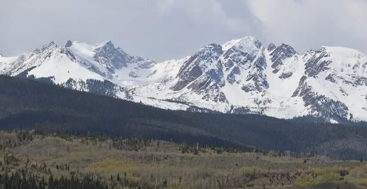
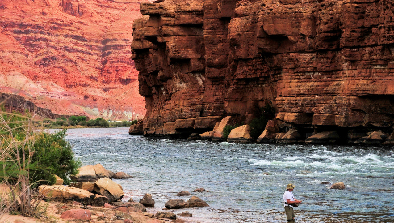
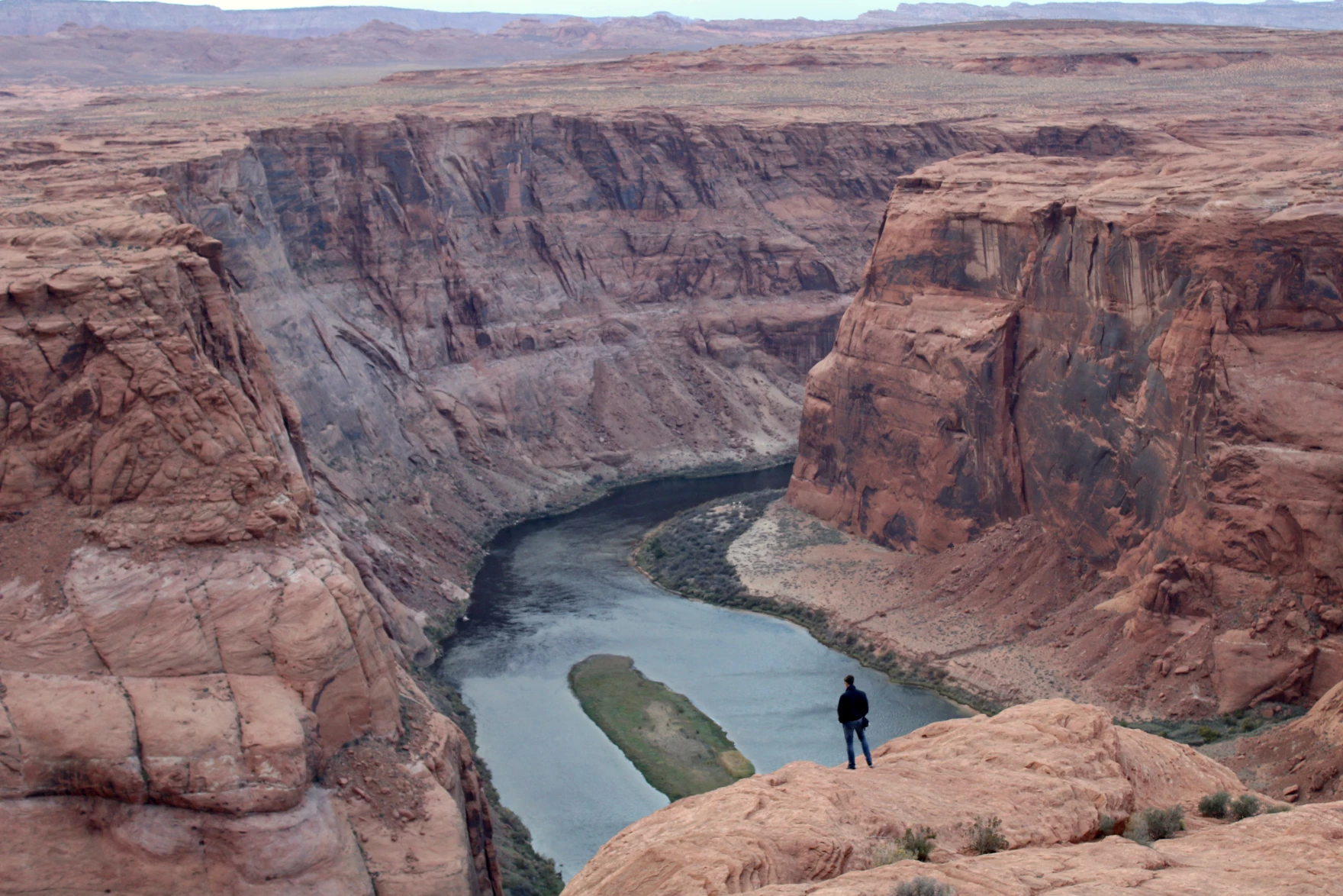
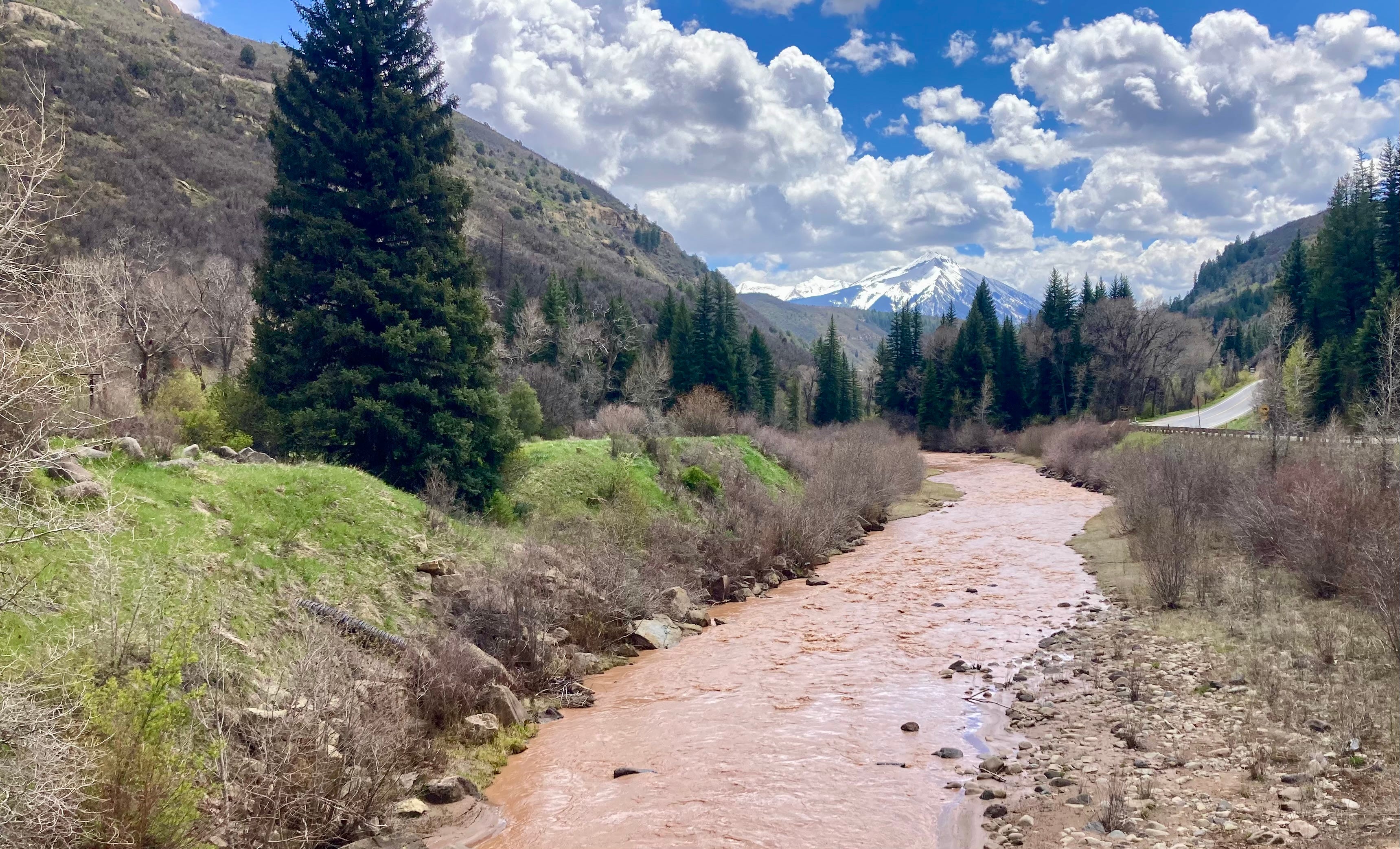
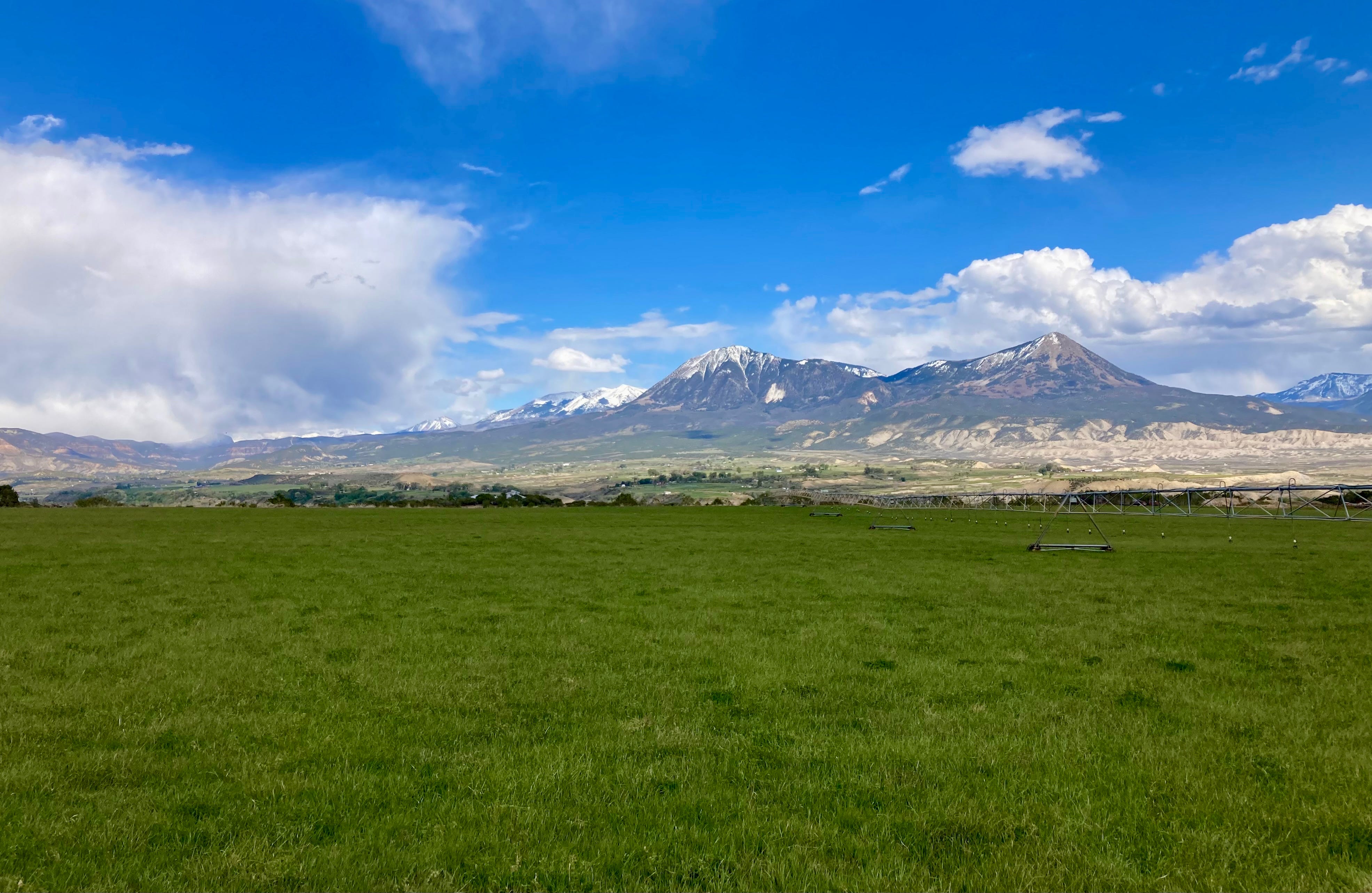
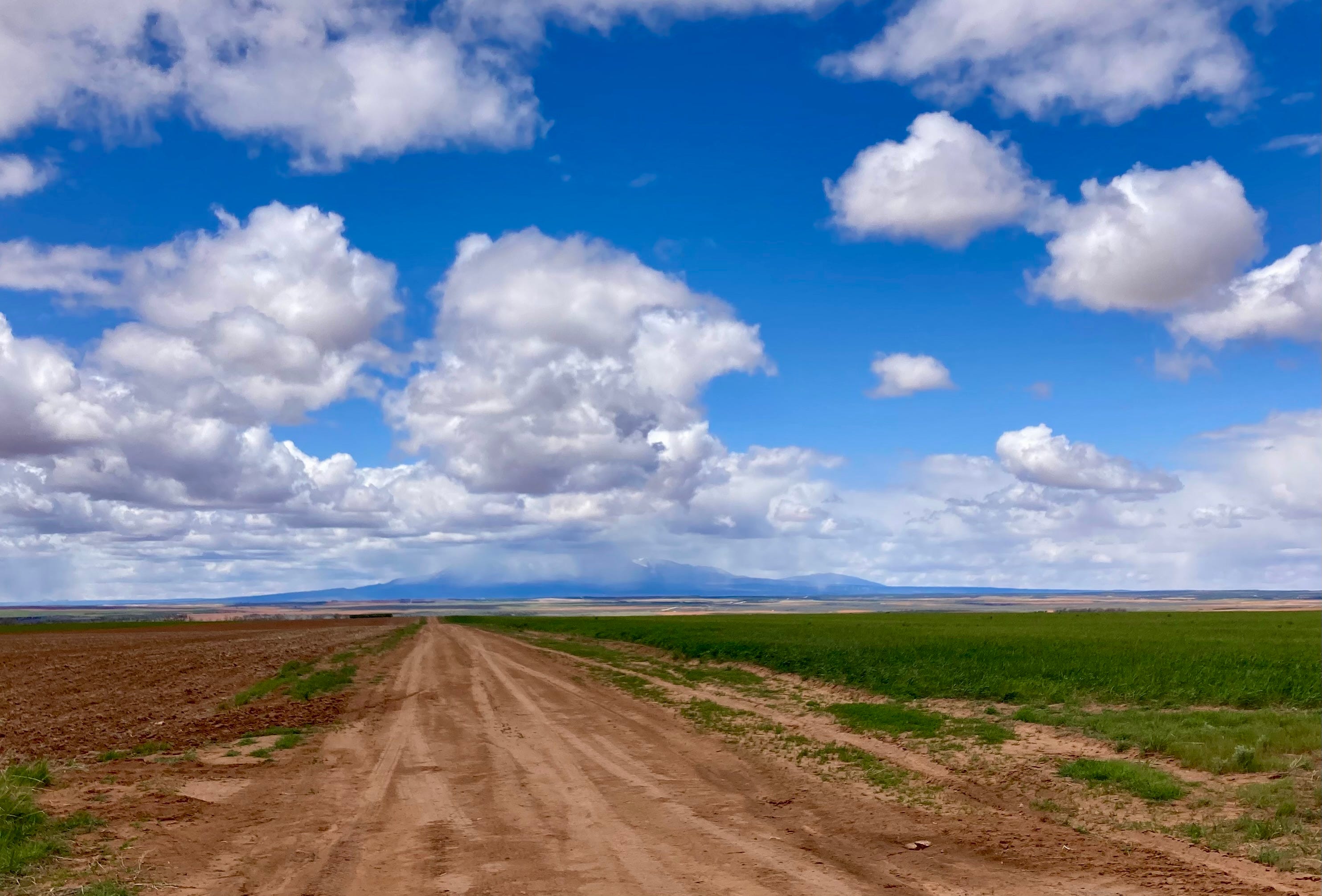
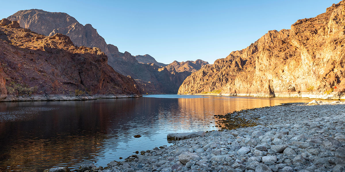
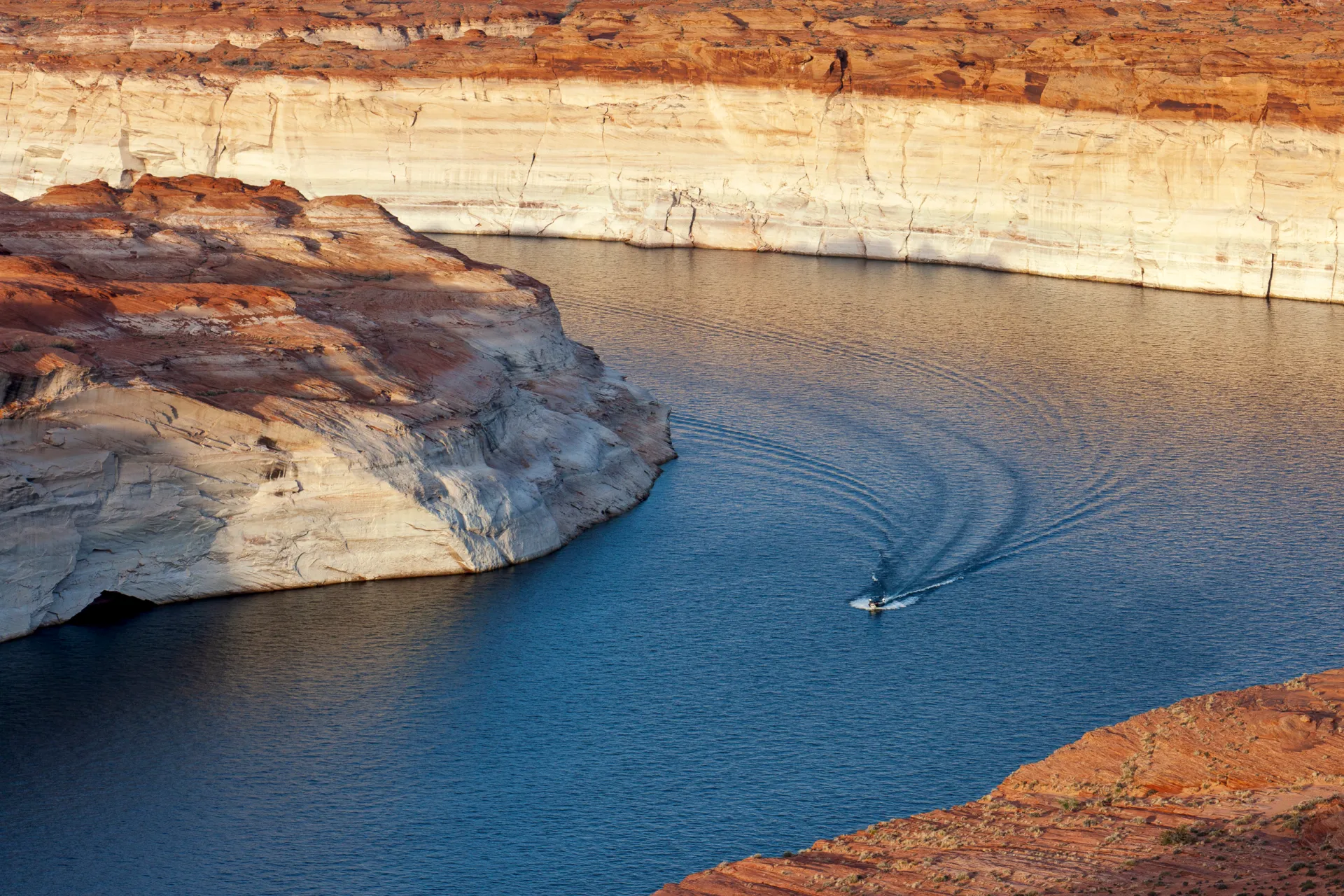
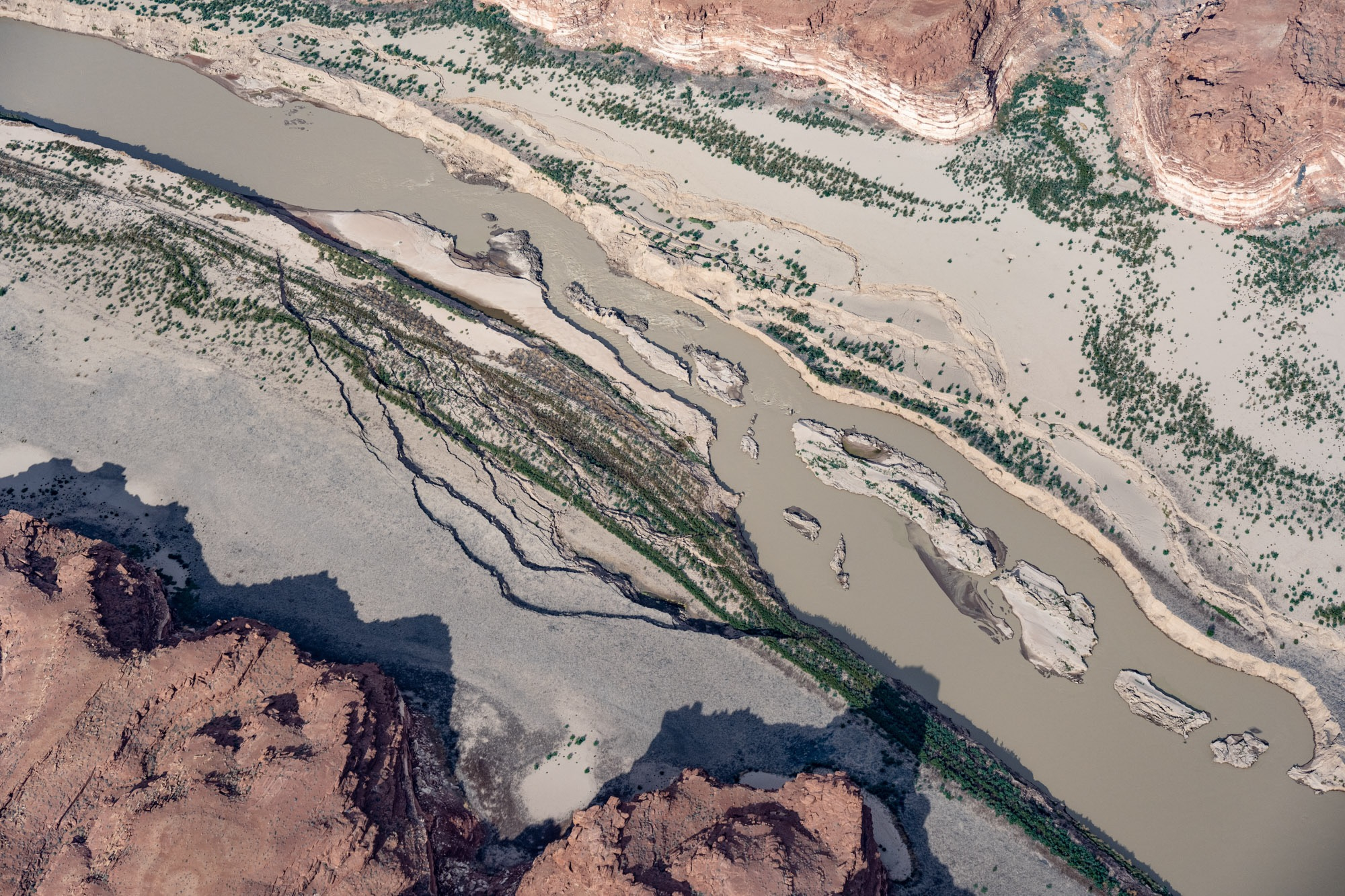
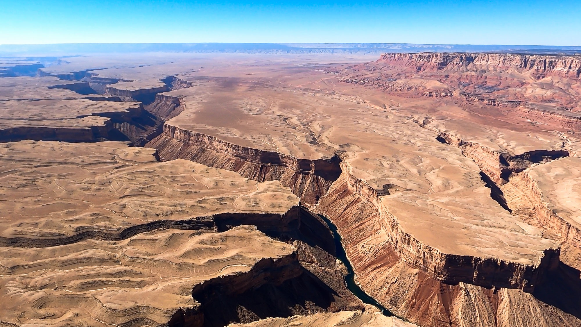
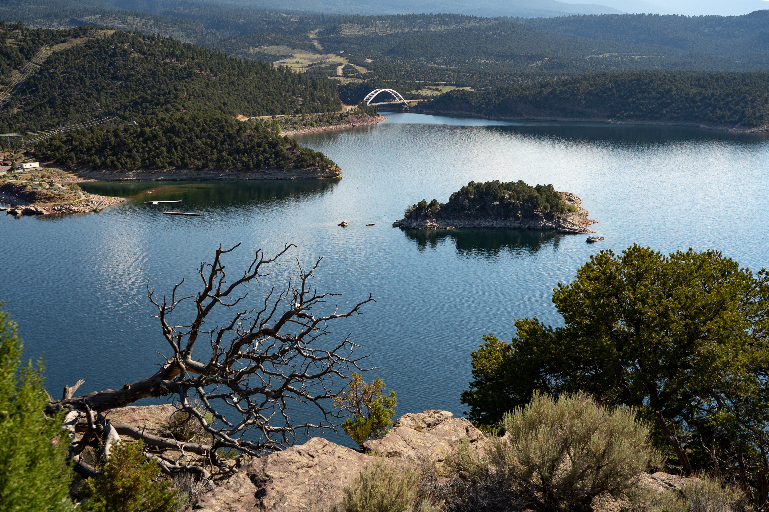
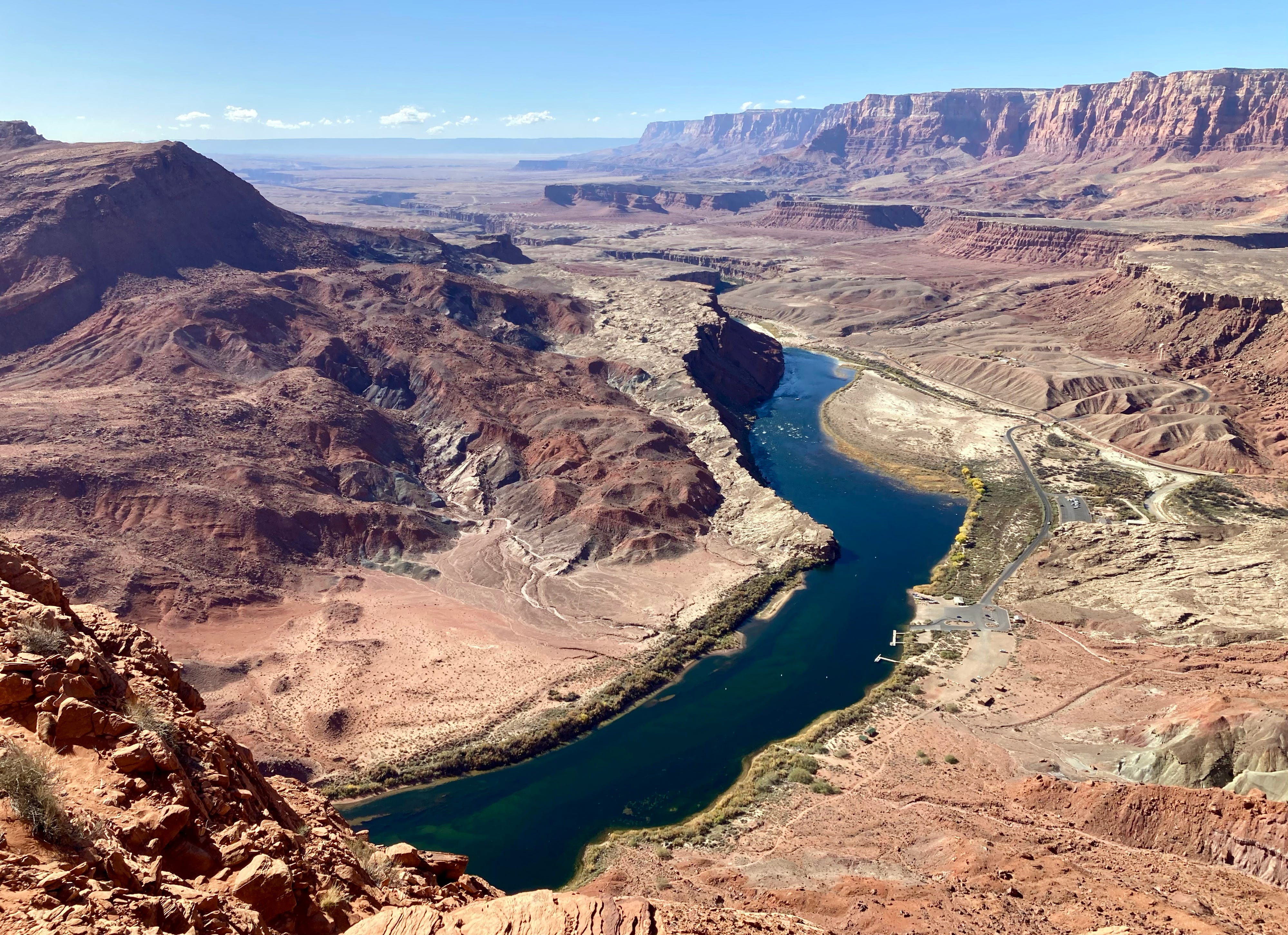
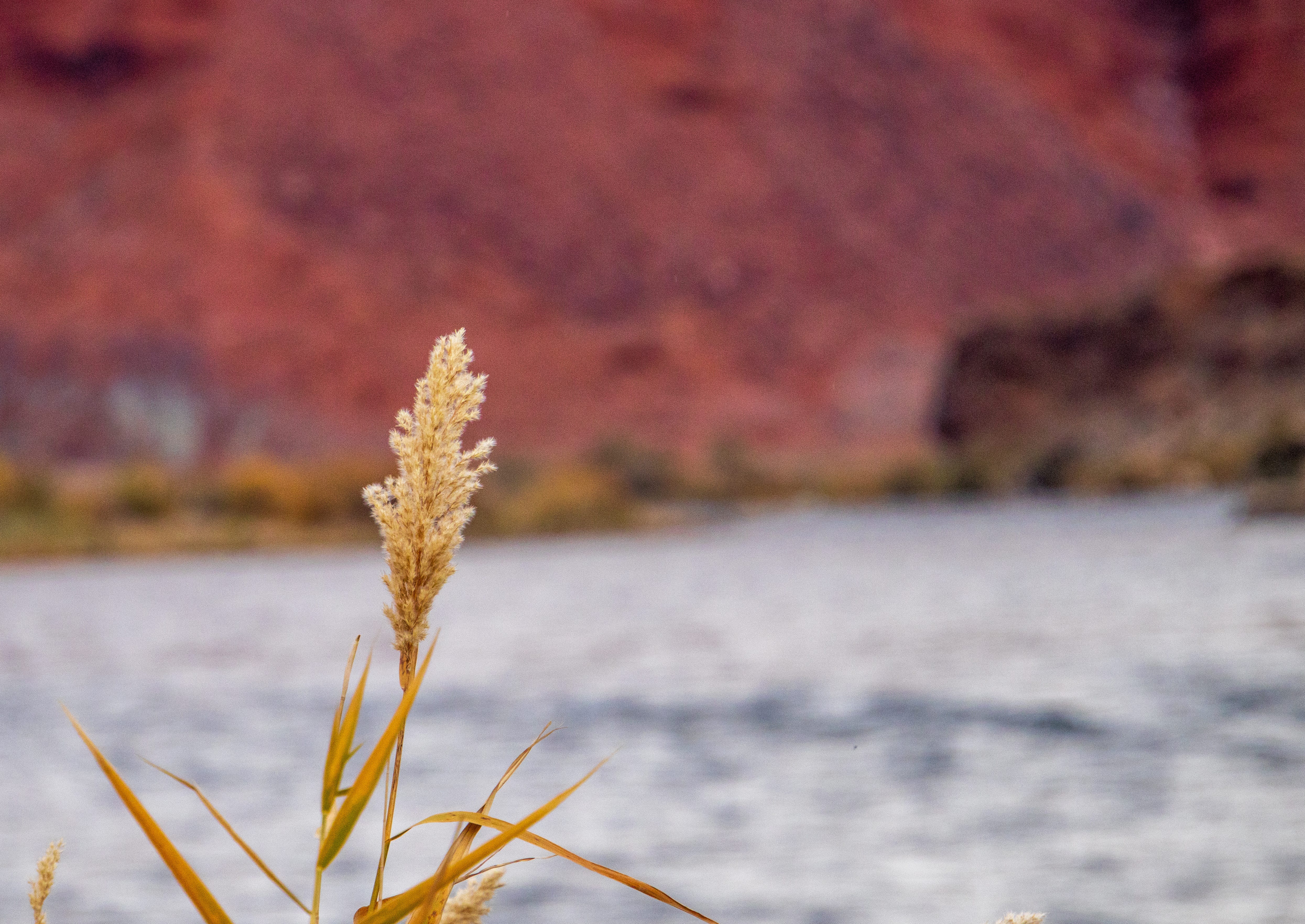
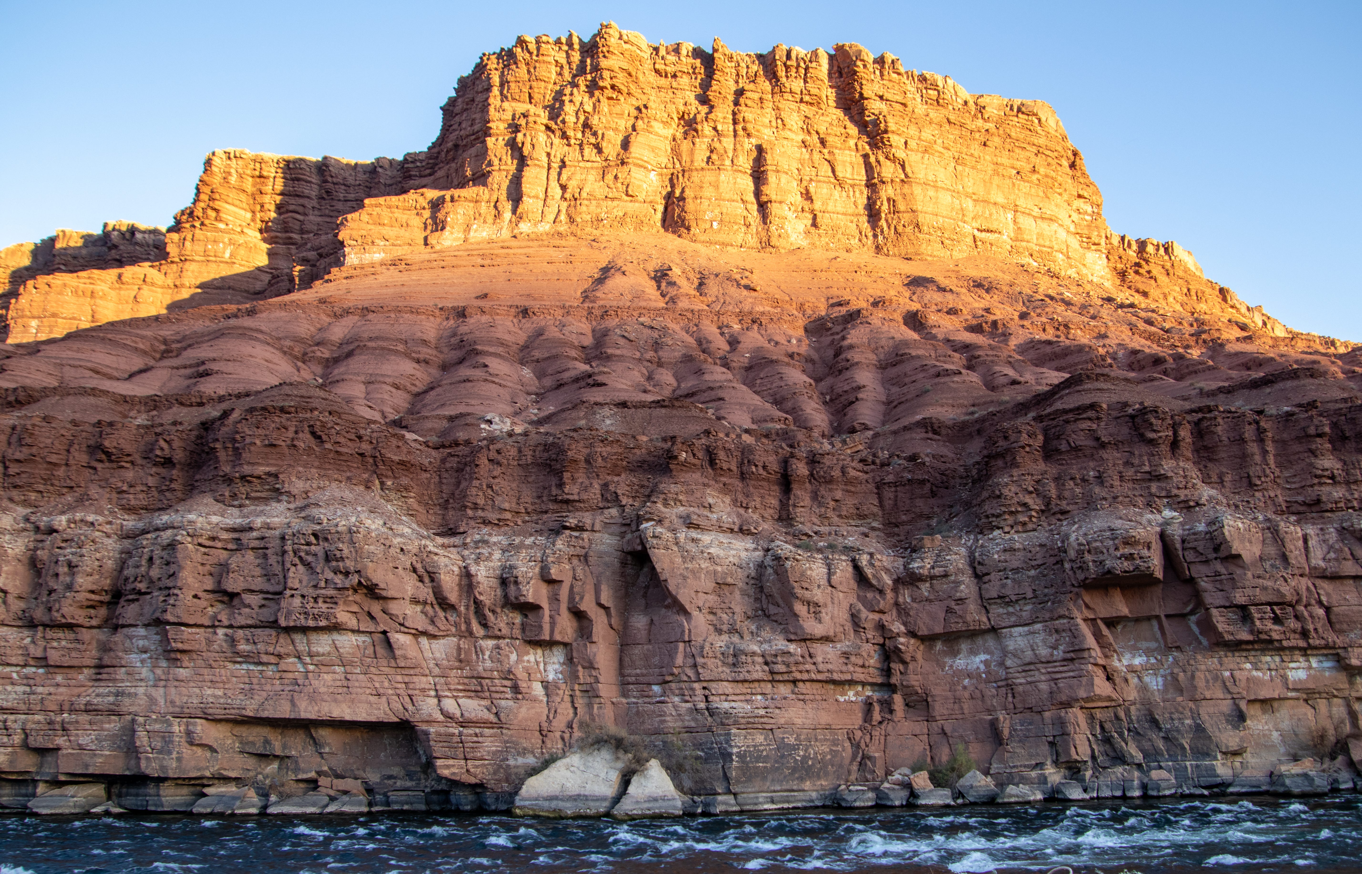
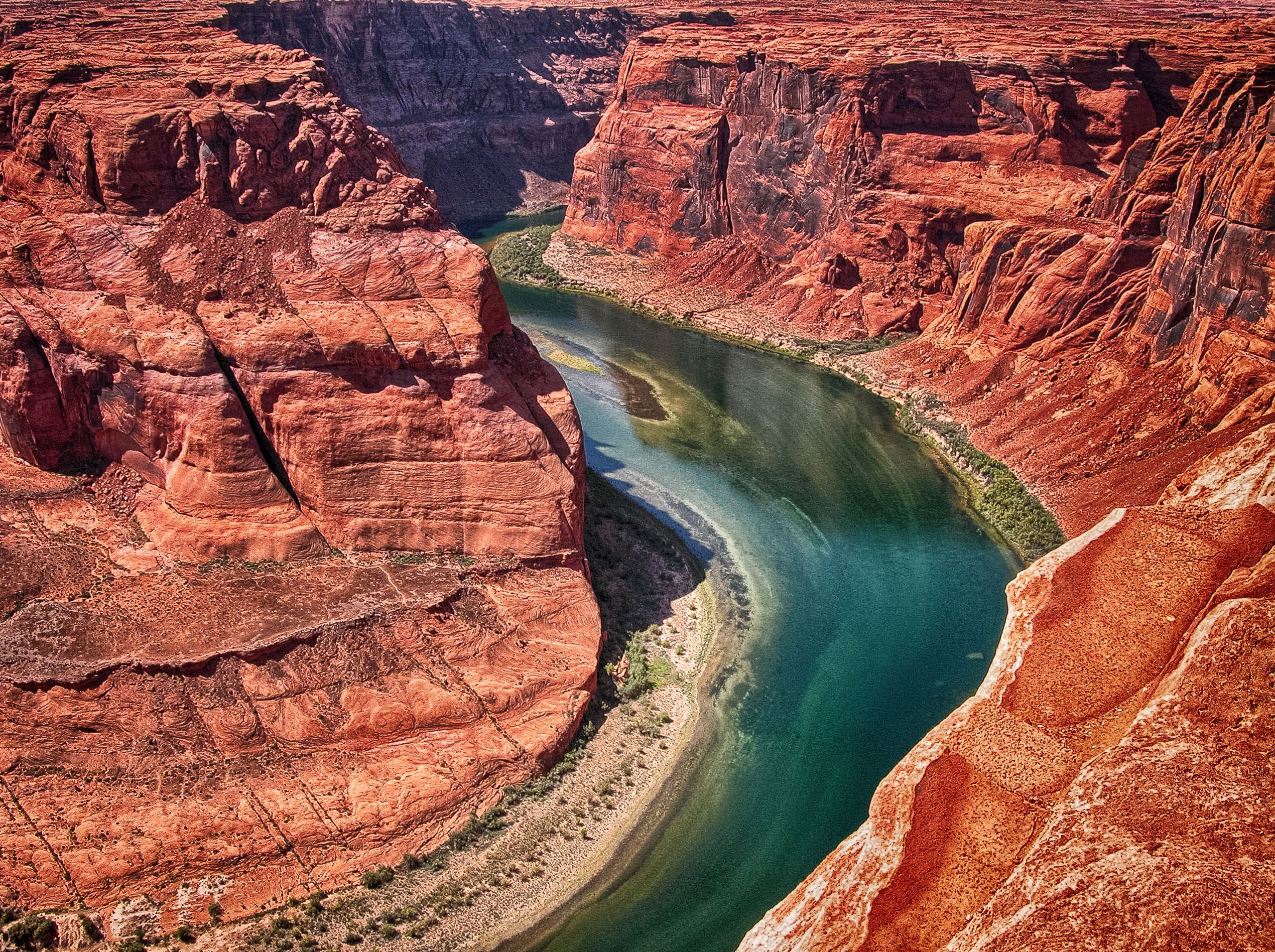
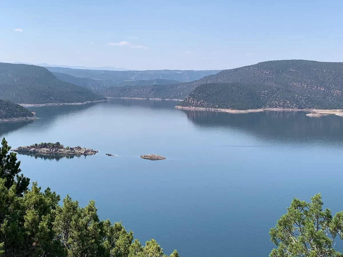
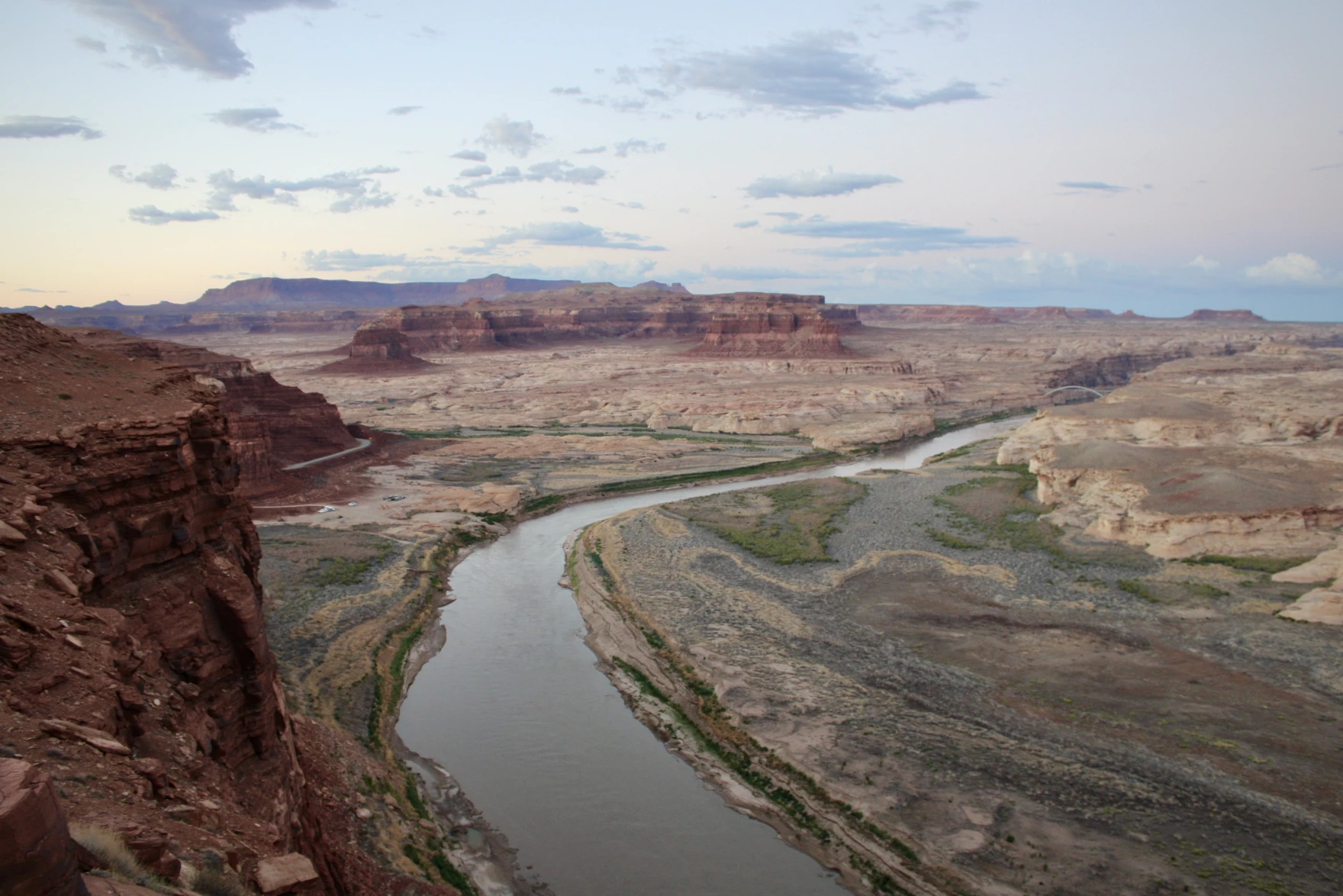
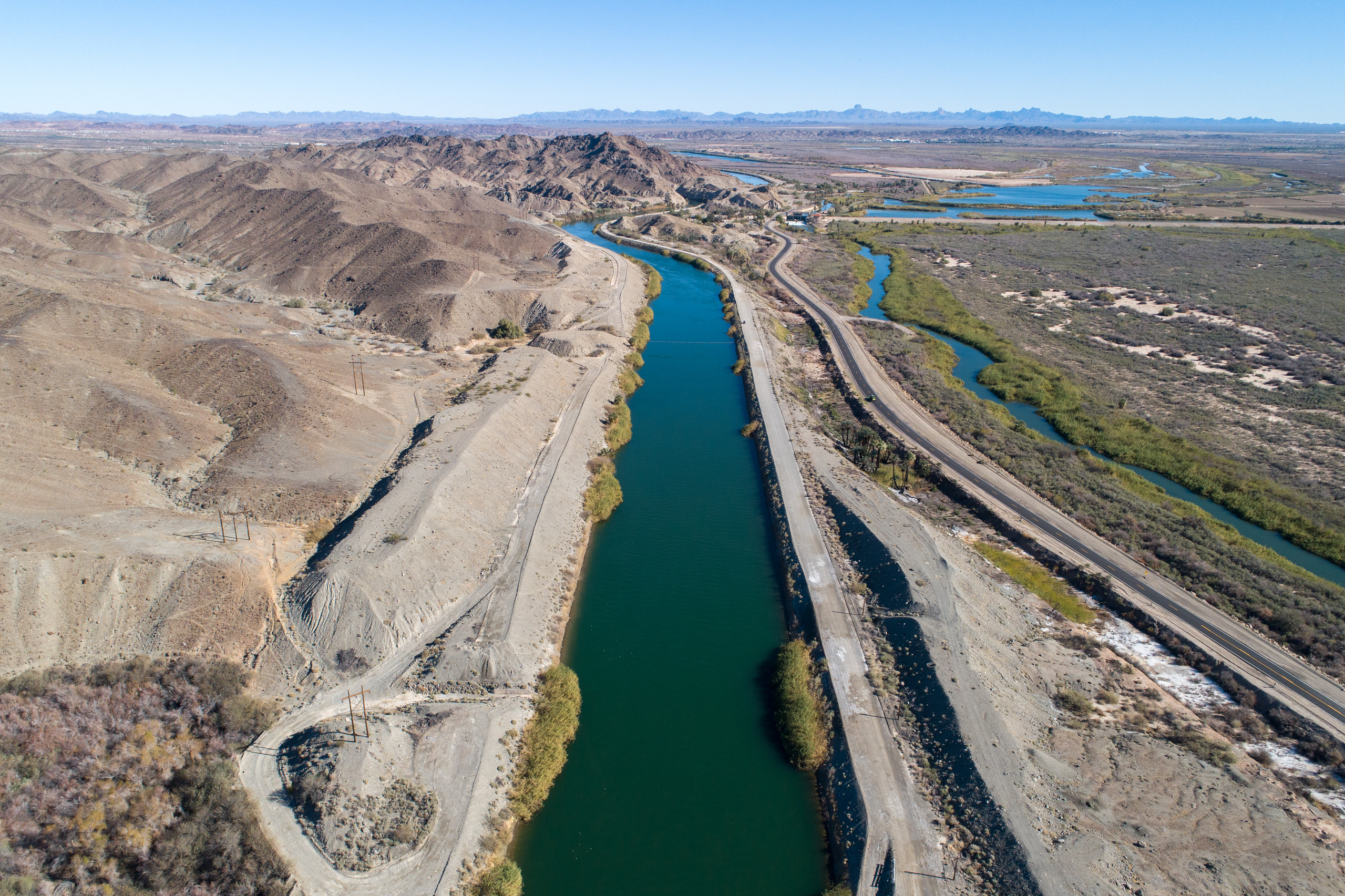
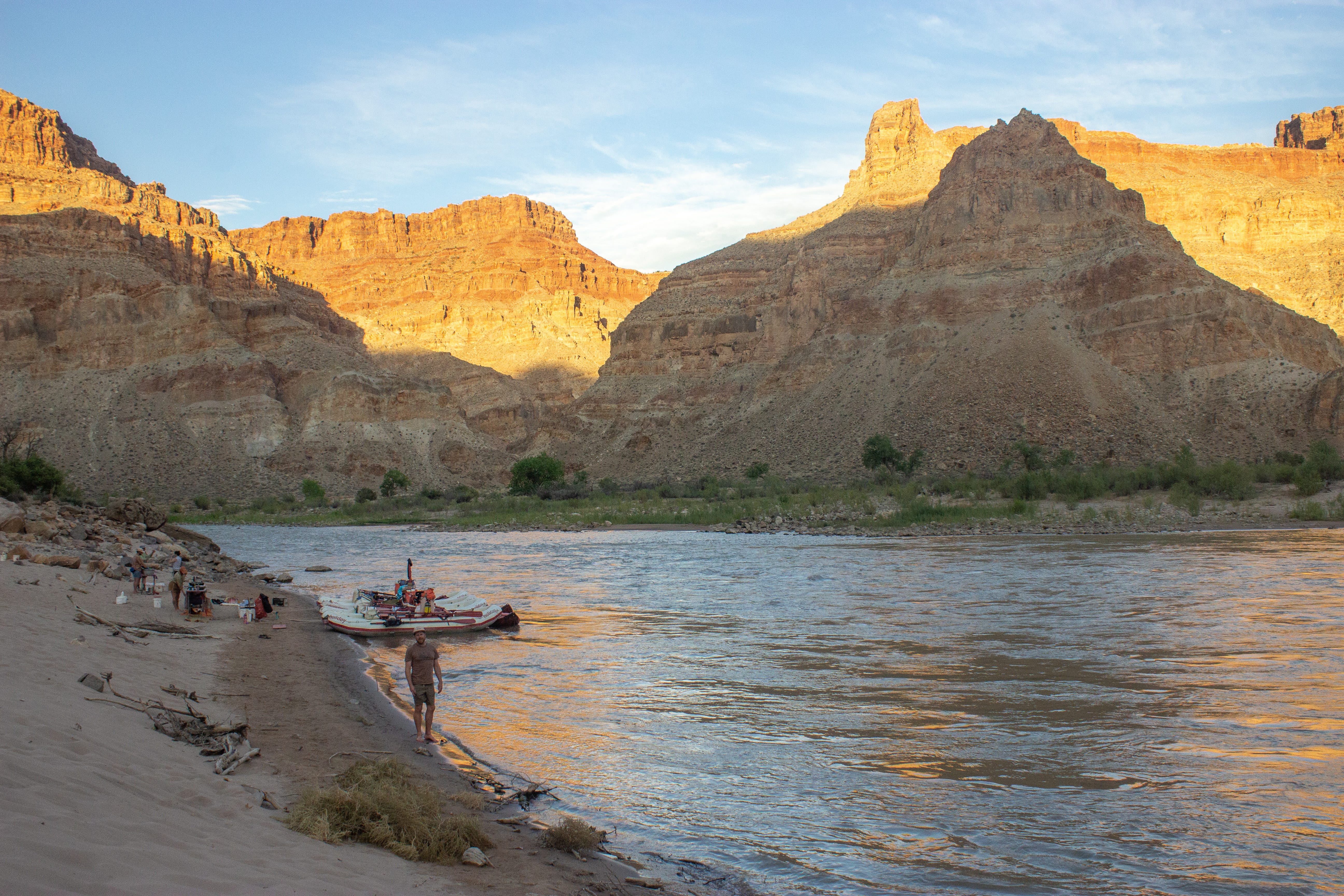
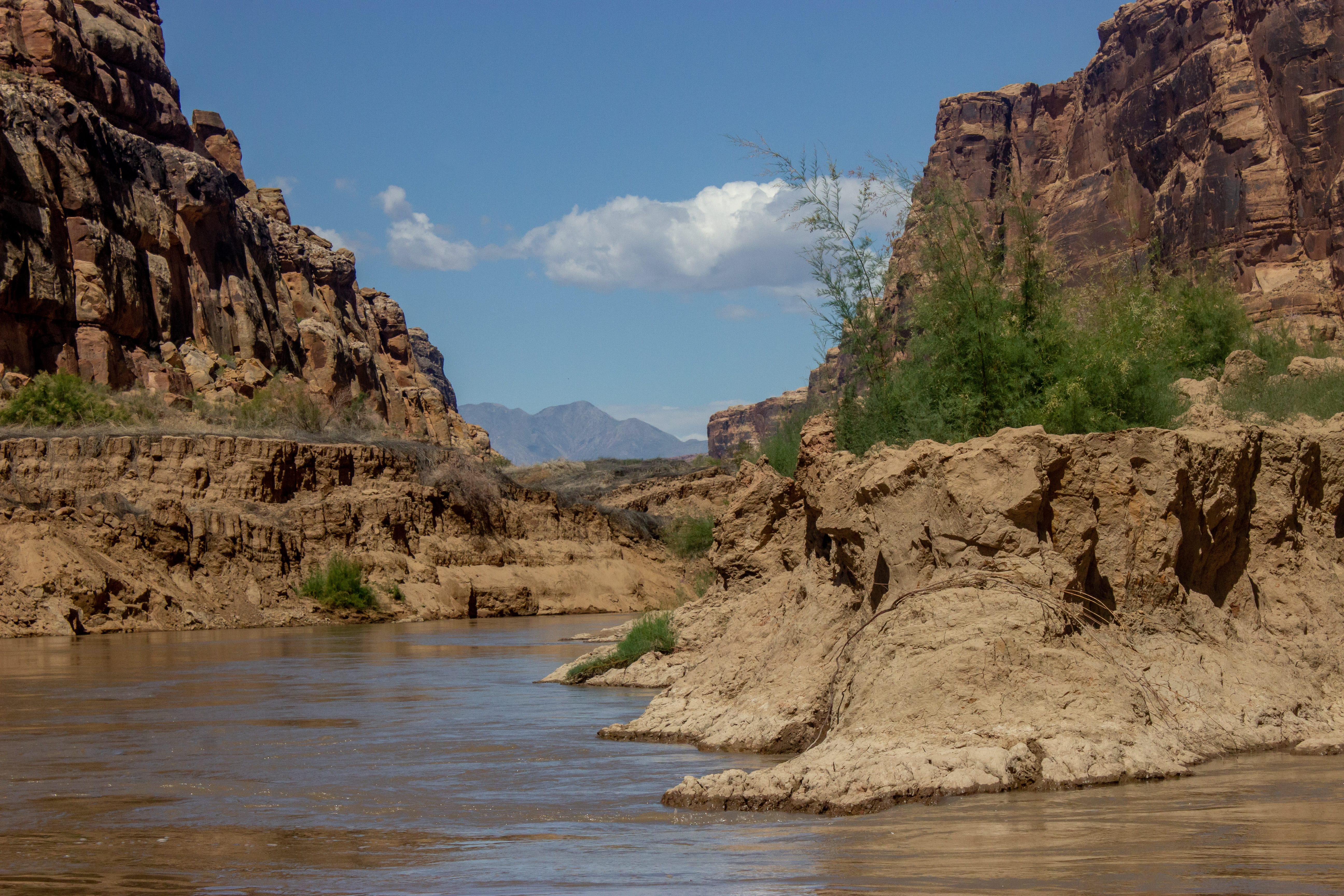
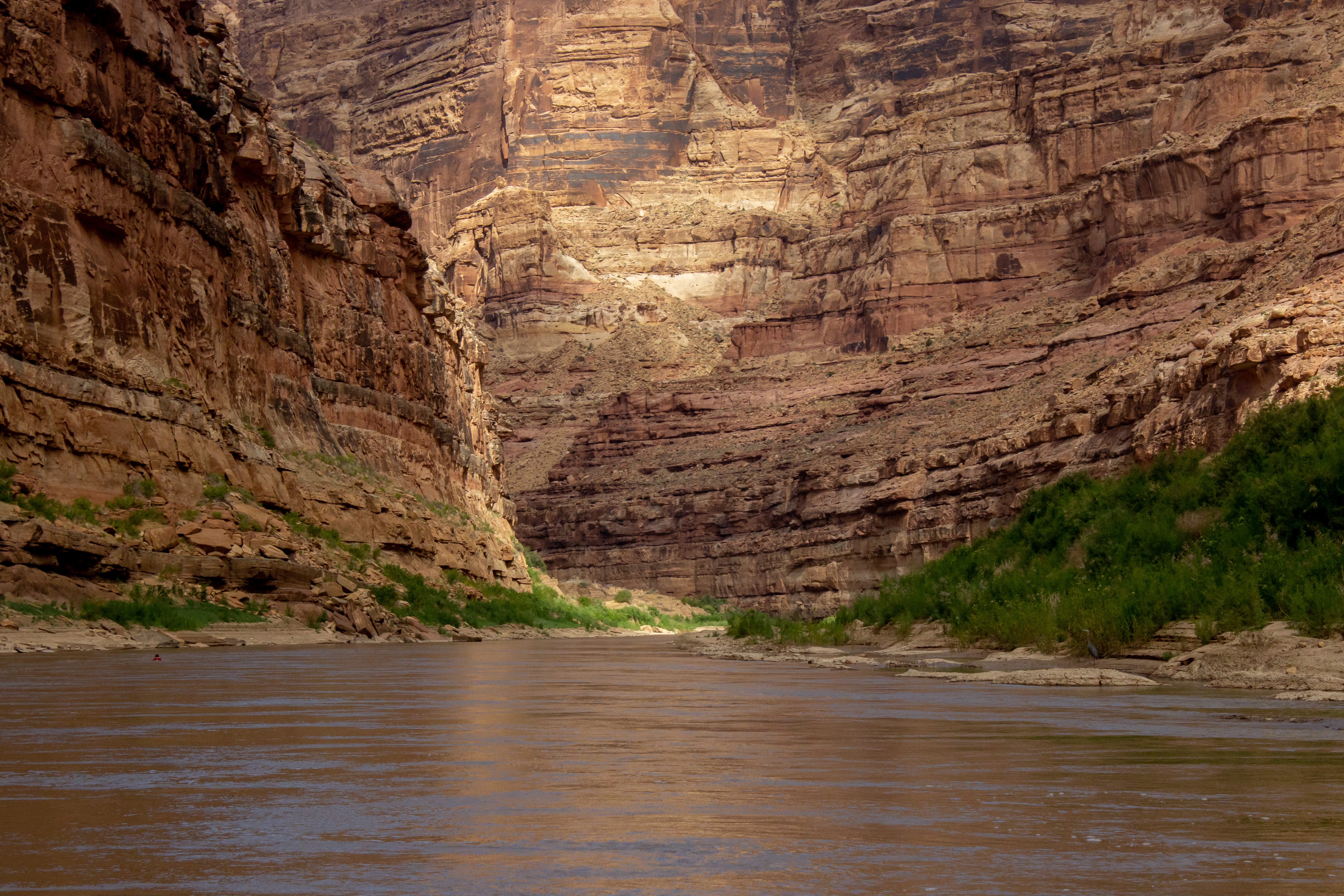
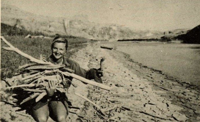
The Colorado River carries hope. The side effects of drought, overallocation, and indecision is the steady return of a free flowing Colorado River and Glen Canyon emerging from a shrinking reservoir. I’ve written before that many of us were too late to experience Glen Canyon before the dam, but we are now right on time to witness its resurrection. Cataract Canyon is an ideal place to experience the changes in motion. From muddy sediment-rich river flows and returning rapids to strongholds of native plants like box elders and seep willows propagating in tributary canyons.
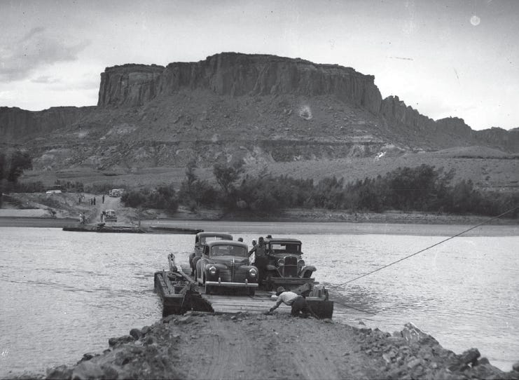
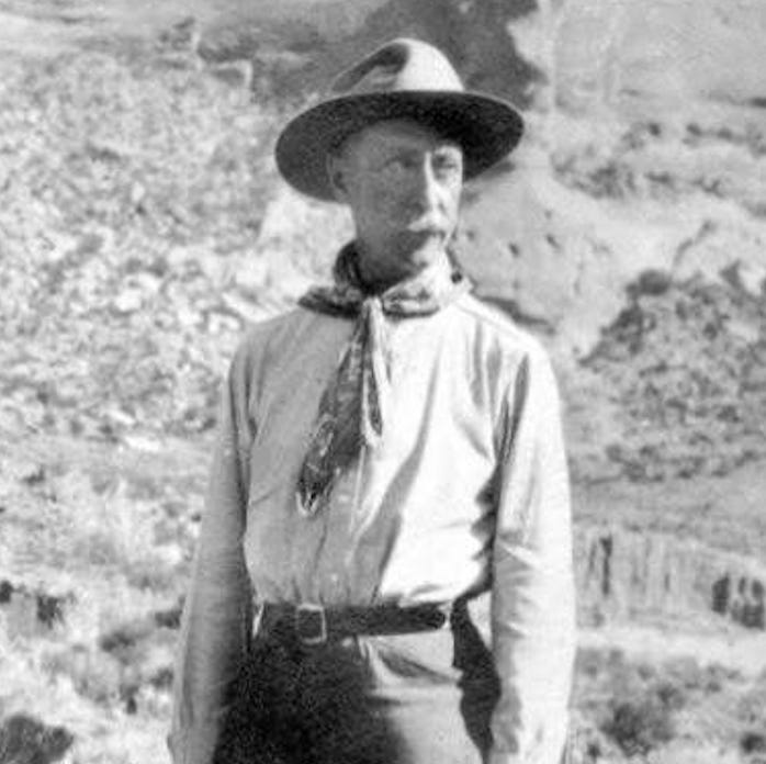
For one guest, Tom, these watershed moments for Glen Canyon are major bookends in his life. As a young lad, his family crossed the old Hite Ferry at Dandy Crossing in their station wagon during a road trip. They then drove up the rock-rutted and sandy North Wash, sans road, before it became Highway 95. He also boated on Lake Powell in 1965, before it filled completely, and vividly recalls seeing the fully exposed Hole-in-the-Rock site. Now age seventy seven, Tom and his lifelong friend Paul make time every year to return to the Colorado River with GCI. He has been a member for twenty-one years

This was Aaron’s first Cataract River trip, and a deserved reward for living with my Colorado River obsession. His perpetual and ever-widening smile affirmed how important quality time with the river is, now and always. Post-trip, he told me his favorite part of the trip was “watching the swirling eddy lines at sunset, while sitting on the beach with the group.”
Right now, we are all in an eddy. The decisions made, or not, in 2026 will ripple beyond our lifetime. But so will our unrelenting love for the river and the water that sustains life in the West. Impossible dreams, like the EarthFirst! symbolic crack in the dam, may come to life in yet unimagined ways, so long as we do not give up.
On our final night, the group pulled out our finer attire in an homage to explorer Charles L. Berheimer, the gentleman explorer, who in 1929 made a concerted effort to prevent Glen Canyon Dam. Now, as Glen Canyon claws its way back from the reservoir, it deserves our best effort and utmost respect. Beside the murmuring current, Lauren Wood, Holiday Expeditions’ trip director, played their guitar while we all sang Katie Lee’s “Drinking Song.”

In Lee’s ranting prologue to “Folk Songs of the Colorado River,” she wrote:
To this, I pause and take another swig of whiskey and muddy water. This spring, I had more than one interview with so-called major environmental groups that sounded more like public relations agents for Glen Canyon Dam and Lake Powell.
Lee continued:
Exhausting? Perhaps. But better tired than apathetic. With tin cups filled with muddy water, this moment asks us to stand with all who have defended the Colorado River in the past and will continue on into the future. Protecting what we love is a journey without end.
To support efforts to restore Glen Canyon and ensure continued water deliveries below Glen Canyon Dam, consider becoming a supporter of Glen Canyon Institute.
Or pick up a Glen Canyon Backcountry Club hat! A portion of the proceeds will support GCI.


This also spills the beans about a new venture Aaron and I are launching in September! More to share about that soon.
Wild Words is a reader-supported publication. To receive new posts and support my work, consider becoming a free or paid subscriber.
1 The reservoir sediment left behind as Lake Powell drops is not so affectionately named in reference to Floyd Dominy, the former Bureau of Reclamation Director responsible for the creation of Glen Canyon Dam. Some of us have thoughts about this. I am saving these for my next book, Riverside, to be published by Torrey House Press in 2027.)
2 GCI breaks down the Lower Basin letter here.
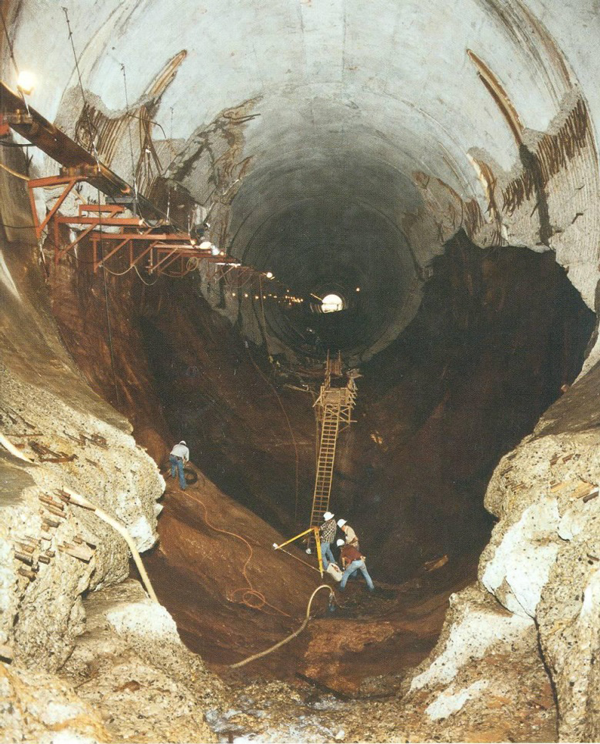
3 CC the millions of dollars being spent to extend boat ramps in Lake Powell, but that is for another story.
4 This week, Sen. Mike Lee’s scheme to use the Congressional Review Act to overturn Grand Staircase-Escalante National Monument’s management plan failed when the Senate missed a 60-day deadline to vote on it.