Click the link to read the article on the WyoFile website (Christine Peterson):
October 29, 2025
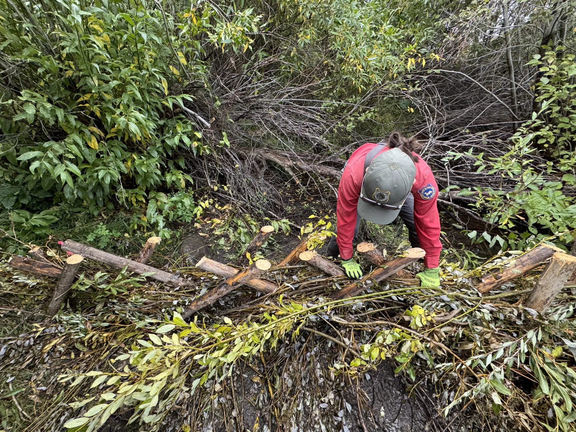
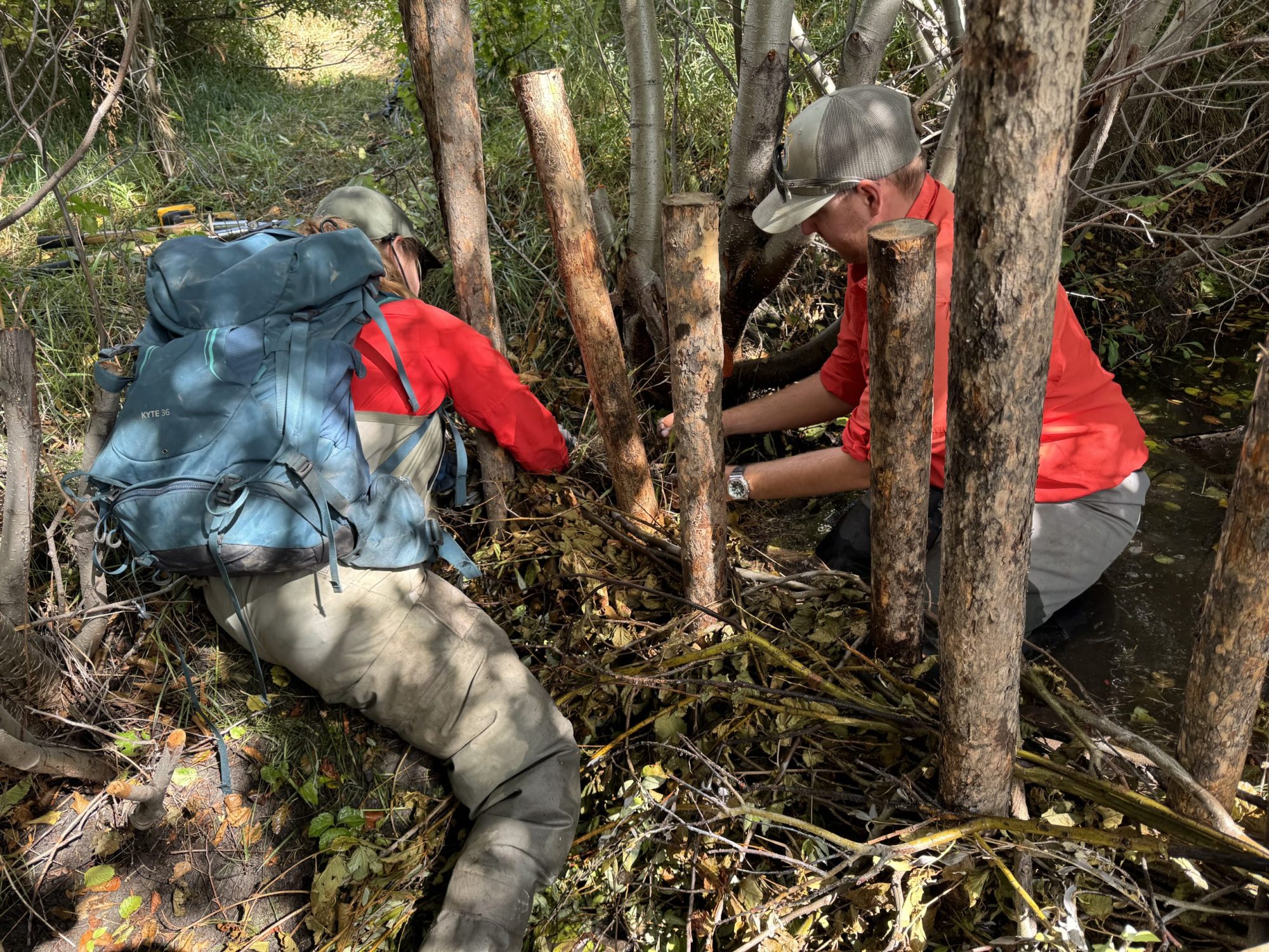
My rubber boots squelched as I grabbed another 5-gallon bucket full of mud from a Wyoming Game and Fish Department herpetology technician. We performed an awkward handoff before I dumped the mud on the ground in front of my sinking boots. The squelching continued as I used my boots to mash the fresh mud up against willow branches woven among 4-inch-wide posts rammed in a streambed.
Our little team, the herpetology technician, a Trout Unlimited project manager and another volunteer like me, were finishing up the first in a series of nearly a dozen fake beaver dams on a creek on the west side of the Snowy Range Mountains in southeast Wyoming. They’re technically called beaver dam analogues — since with their complex patterns of sticks and mud, they’re supposed to imitate real beaver dams. Although I’m not sure my noisy rubber boots really compare to the efficacy of the beaver tail.
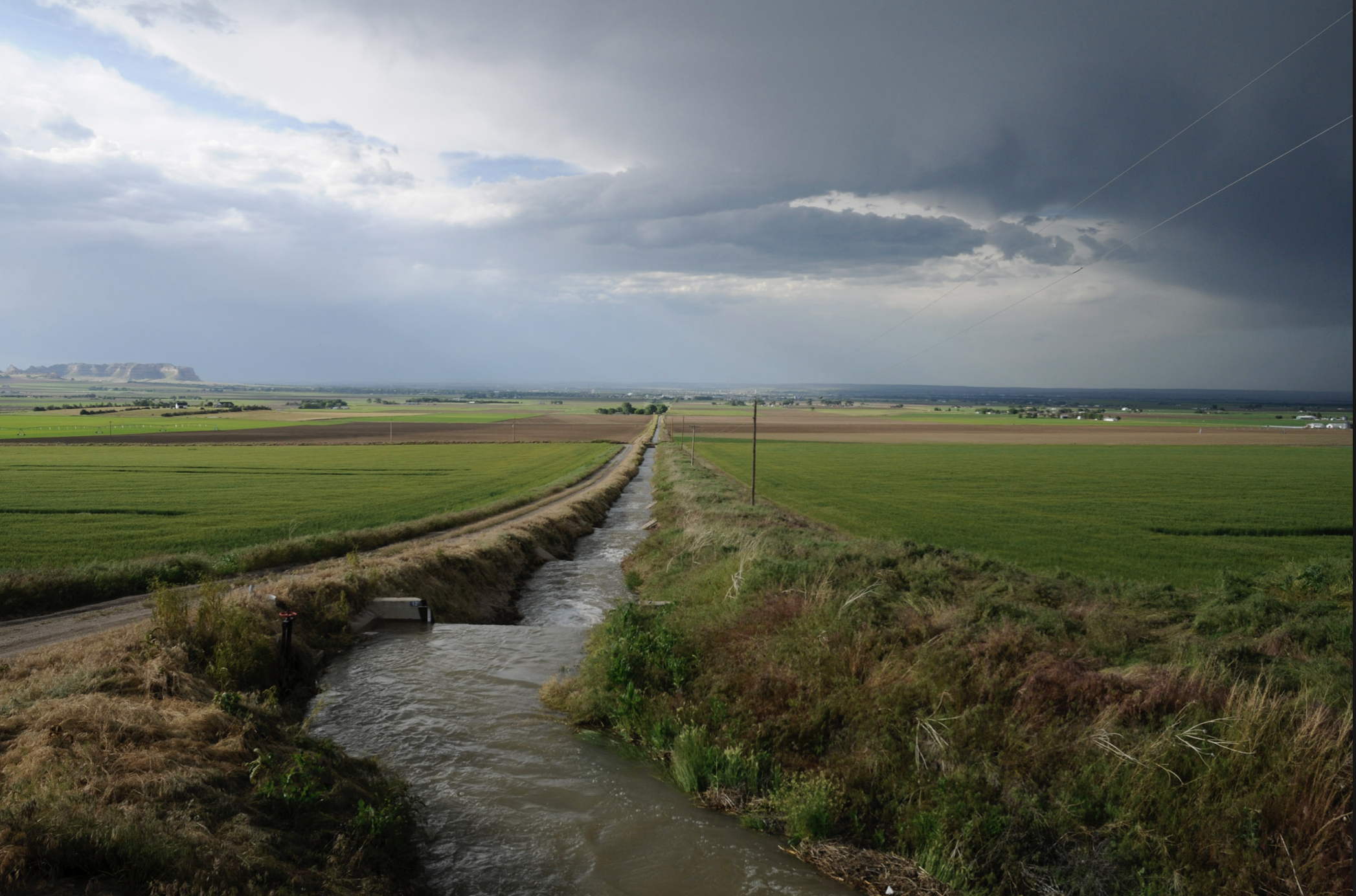
The dams’ purpose, as the name implies, is to slow streamflow, lightly flooding banks and providing the water more time to seep into the ground.
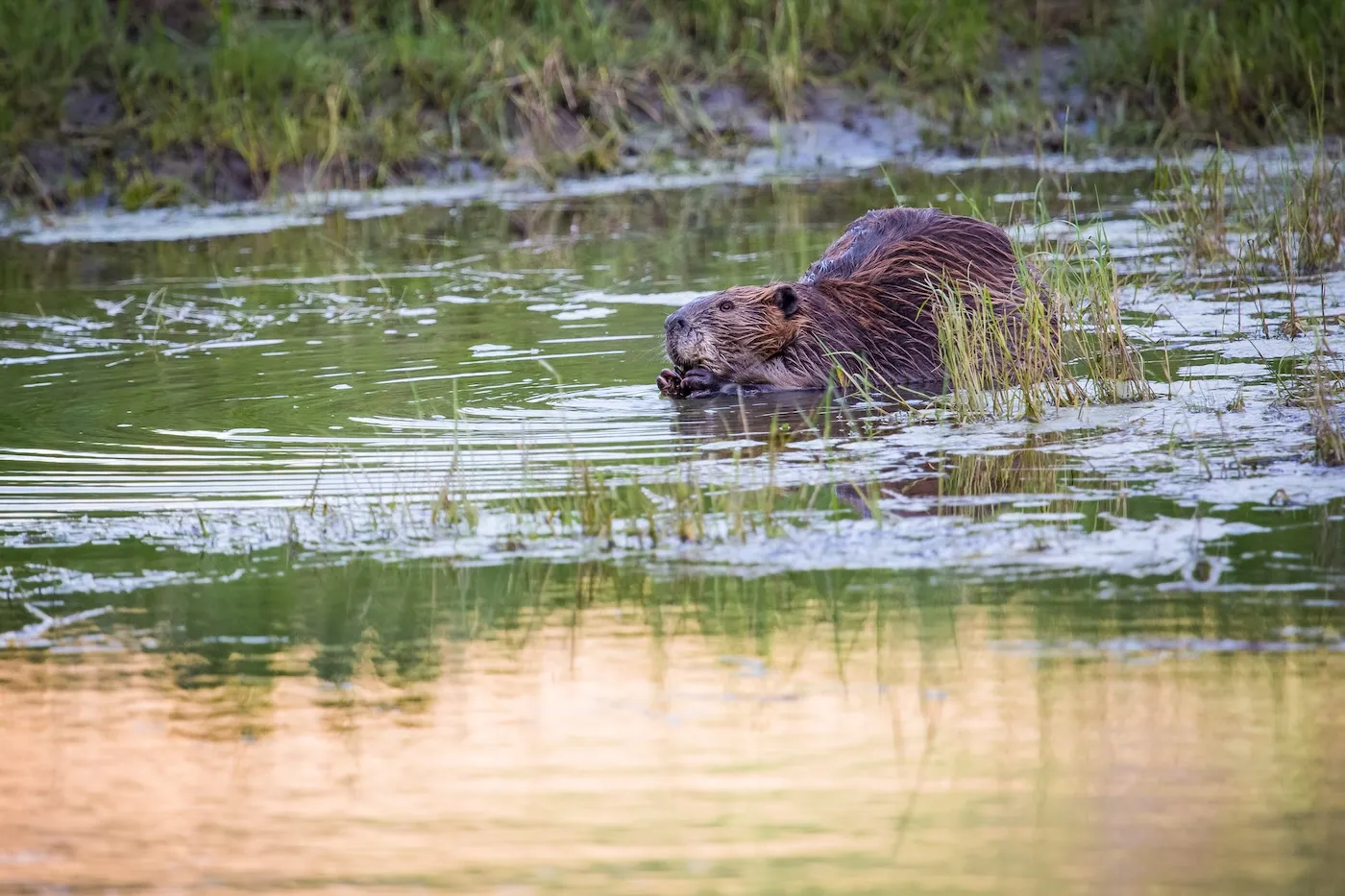
If we’re lucky, a family of beavers will come along and make this analogue their home, even tearing out our handiwork to construct something they like better that’s more permanent and sturdier. Beavers are, after all, professional furry engineers, who perfected their craft over millennia.
Our fake beaver dams aren’t meant to last forever. They’ll be maintained annually for about five years (unless real beavers take over earlier), but the result when established in the right place can be remarkable, restoring and rejuvenating wetlands, replenishing the water table, keeping water higher up in systems longer in the year, and providing habitat for everything from insects, frogs and toads to elk and moose, and yes, even beavers.
Stream restoration experts like Steve Gale, the Wyoming Game and Fish Department’s aquatic habitat biologist, can and do extoll the benefits of beavers and beaver dams. And while the rest of us standing in the stream bed see their utility, we also agreed with Gale when he said: “Who doesn’t want to play in the water with mud and sticks?”
Bigger than just beavers
Before European settlers streamed onto this continent, bringing an insatiable demand for beaver pelts, the rodents lived in streams, creeks and rivers almost everywhere. They dammed any flowing water they could find and had a hand in shaping large swaths of the nation.
While beavers can be a nuisance, falling ancient cottonwoods in parched areas and flooding creeks and irrigation ditches, they’re also one of the best examples of ecosystem engineers, Gale said, and their services have been missed. Without beavers and beaver dams, rivers run faster and cut down into the soil, they wash away sediment and move water faster from headwater states like Wyoming to other states downstream.
Biologists have tried reintroducing beavers across the country — the Army Corps of Engineers even famously airdropped beavers into an Idaho wilderness area — with mixed success.
So now watershed managers are turning to contraptions like the ones a team of nearly 20, including Game and Fish employees and volunteers from all over the state, helped build in mid-September.
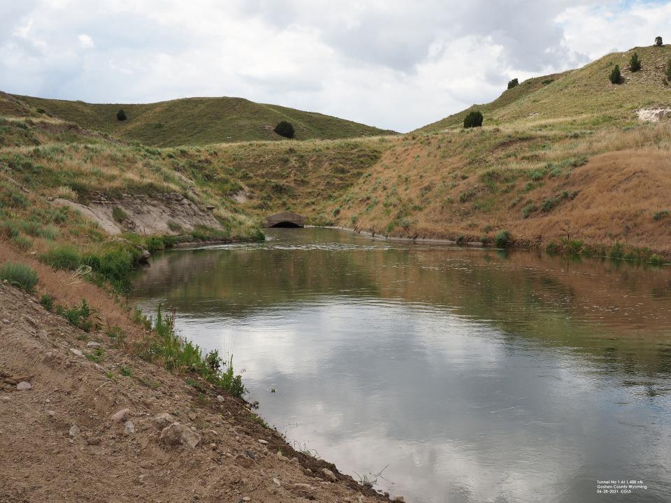
We stood on the banks of the South Fork of Lake Creek in the Pennock Wildlife Habitat Management Area and listened to Gale walk us through the process. In the last few decades, the South Fork of Lake Creek had cut deeper and deeper into the earth, ultimately sinking lower than the floodplain and as a result offering little water to surrounding vegetation. When runoff hit each spring, the water rushed down as plants sat parched on the banks.
“We lost riparian habitat and riparian width, which is important for calving areas,” he said. “We’re doing this work primarily for the deer, elk and moose.”
Beavers had been reintroduced here before, but even the industrious rodents had a hard time building dams and ponds deep enough to keep them alive and safe through winter.
We were here to help, hopefully. We would spend the bulk of the day pounding posts made from trees across the width of the creek over a quarter-mile-long stretch and then weaving bendy willow branches through the posts. After building a wall of willows, we would use buckets of mud and sod to fill in the cracks. With any luck, water would begin backing up almost immediately, eventually filling and slowly trickling over the tops.
Life or death
As beaver dam analogues become increasingly popular, biologists with state agencies and nonprofits are teaming up to place them in streams across the landscape.
Austin Quynn, the Trout Unlimited project manager helping direct our team, worked with groups of youth corps members over the last couple summers building, maintaining and repairing hundreds of analogues on a stream called Muddy Creek southwest of Rawlinsto help habitat for four native fish species: flannelmouth and bluehead suckers, roundtail chubs and Colorado River cutthroat. Last summer, beavers came from miles downstream and tore out dozens of analogues in one stretch. He sounded amused that his work was destroyed, because in its place, they’d built a massive dam that must have been what the beavers wanted and needed.

Some of the dams blew out from spring runoff, scouring the creek bed of sediment and leaving behind gravel that cutthroat trout could use for spawning.
Deep pools created by the analogues — and eventually beavers themselves — also offer fish refuge from the heat on mid-summer days.
On the east side of the Snowy Range, Wendy Estes-Zumpf, Game and Fish’s herpetological coordinator, and others built eight analogues in a creek which contains one of the last boreal toad populations in southeast Wyoming. It had been a stronghold for the creatures, but in the absence of beavers, the creek became incised, leaving little wetland habitat for toads to breed and survive.
A few seasons after Estes-Zumpf’s team erected the fake beaver dams, boreal toad populations have started to come back. She counted as few as four toads on past spring surveys and found almost 30 this spring including multiple age classes.
Beaver dam analogues aren’t a silver bullet for a drought-stricken West, Gale said, but for some species and some creeks, they could be the difference between life and death.
Plus, it’s hard to beat a day playing in the mud.