

Click the link to read the article on the Big Pivots website (Allen Best):
February 28, 2026
Study being completed will help guide decisions about continued mining of groundwater in the Springfield area. Ogallala will be gone within 20 years, but deepest formation could last a century.
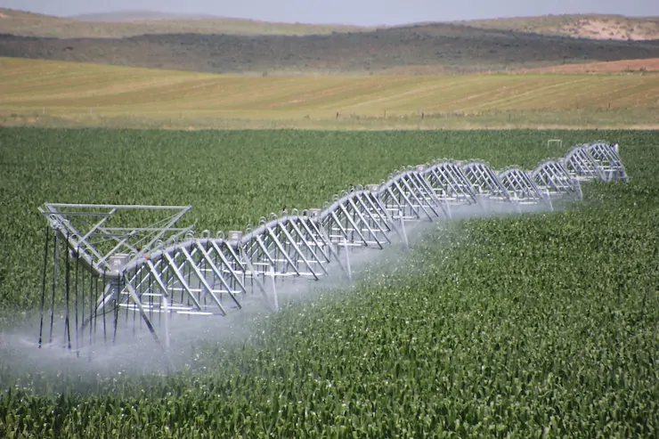
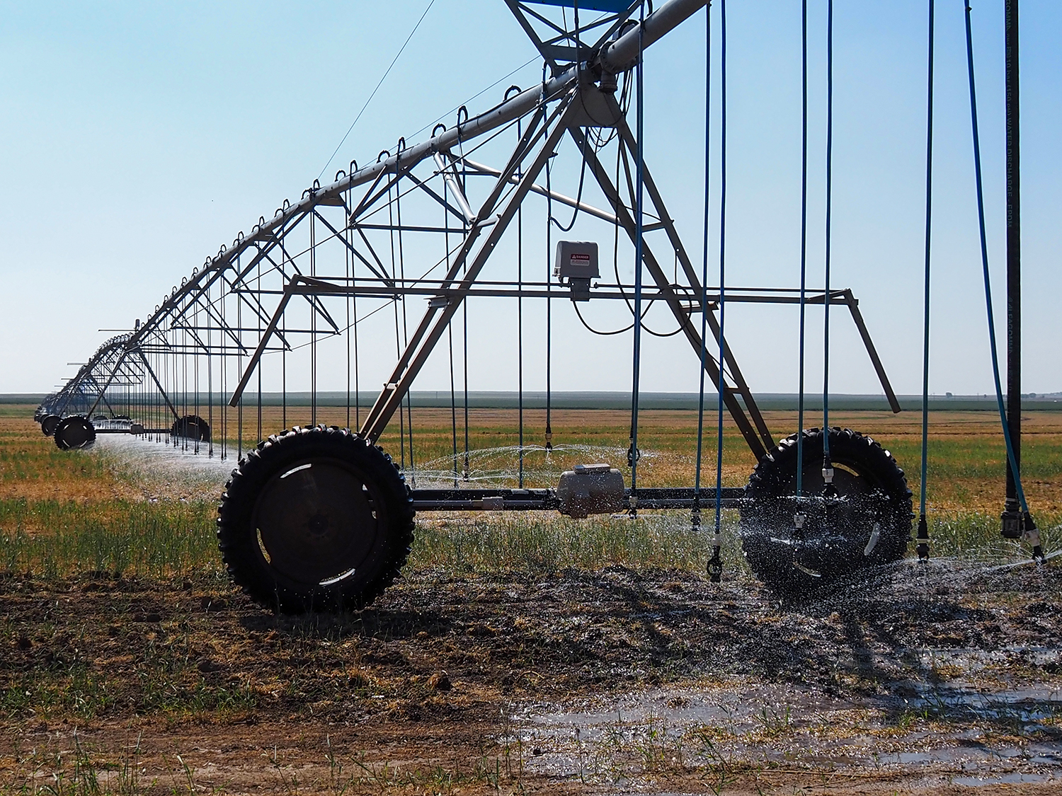
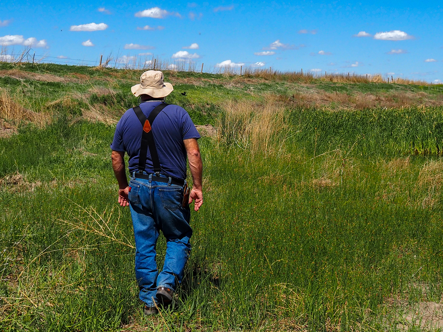
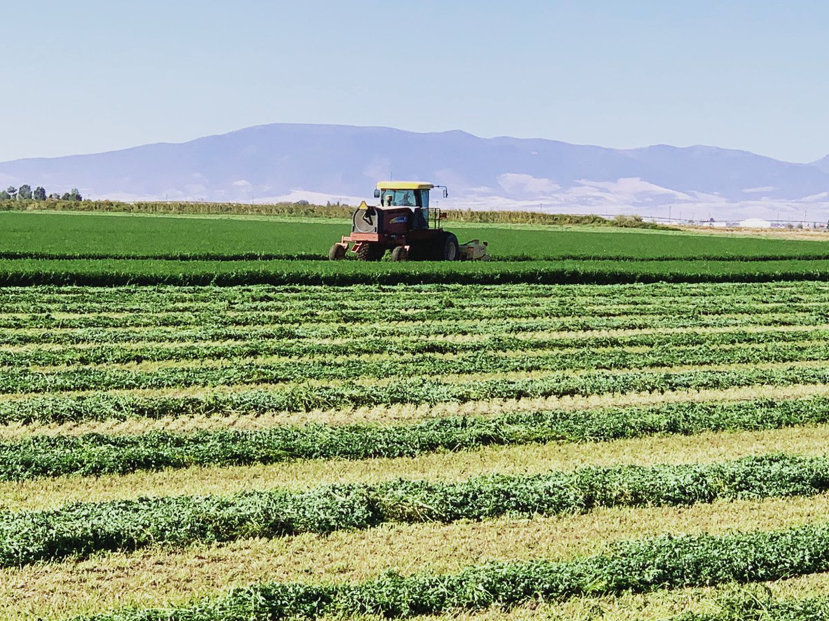
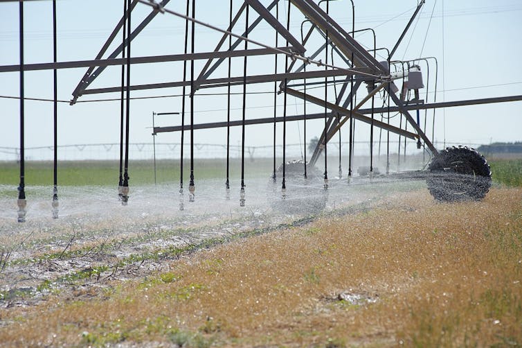
Before center-pivot sprinklers powered by rural electrification in the mid-20th century, farmers in Colorado’s southeastern corner necessarily relied upon what came from the sky for water. HIgh-capacity pumps, first used in the Springfield area during the late 1940s allowed the farmers to go underground, to more lucratively plumb a series of aquifers and deliver far-higher crop yields.
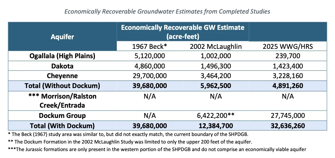
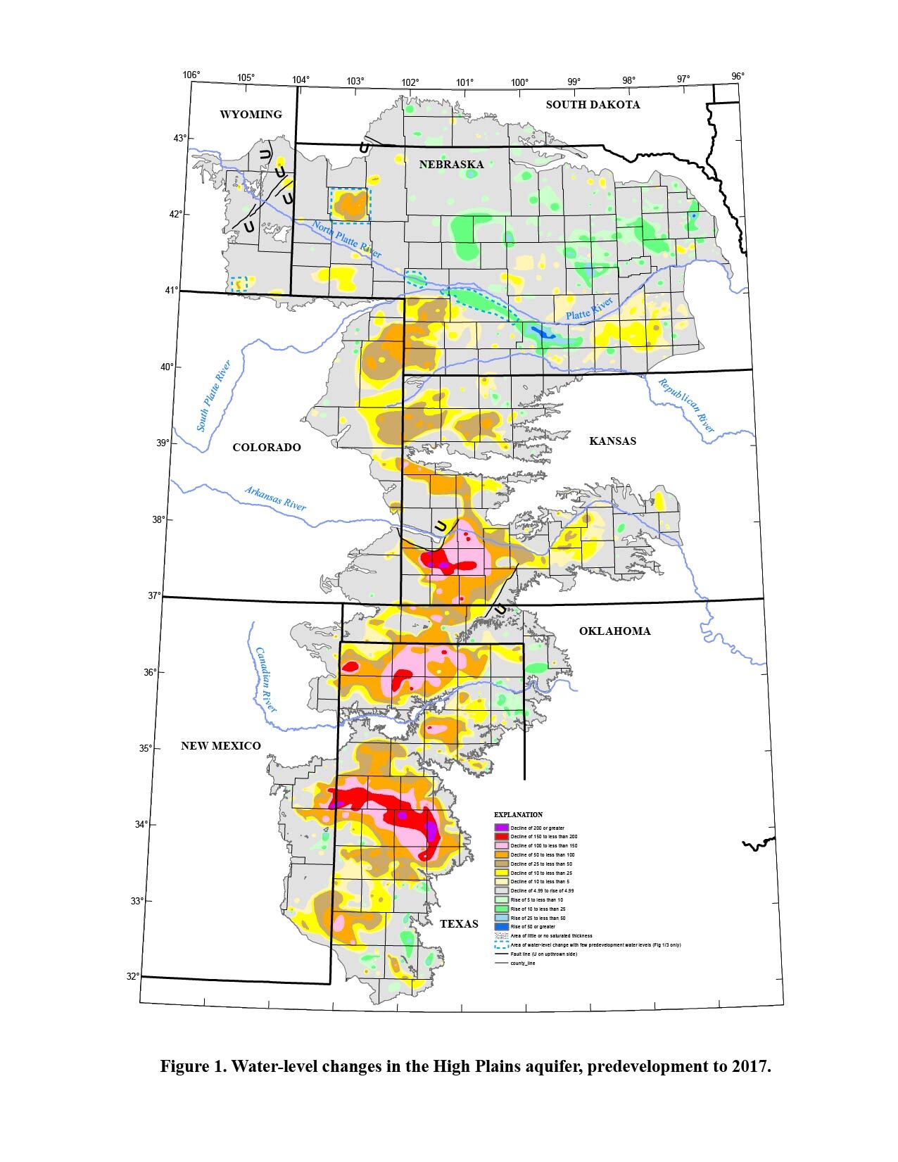
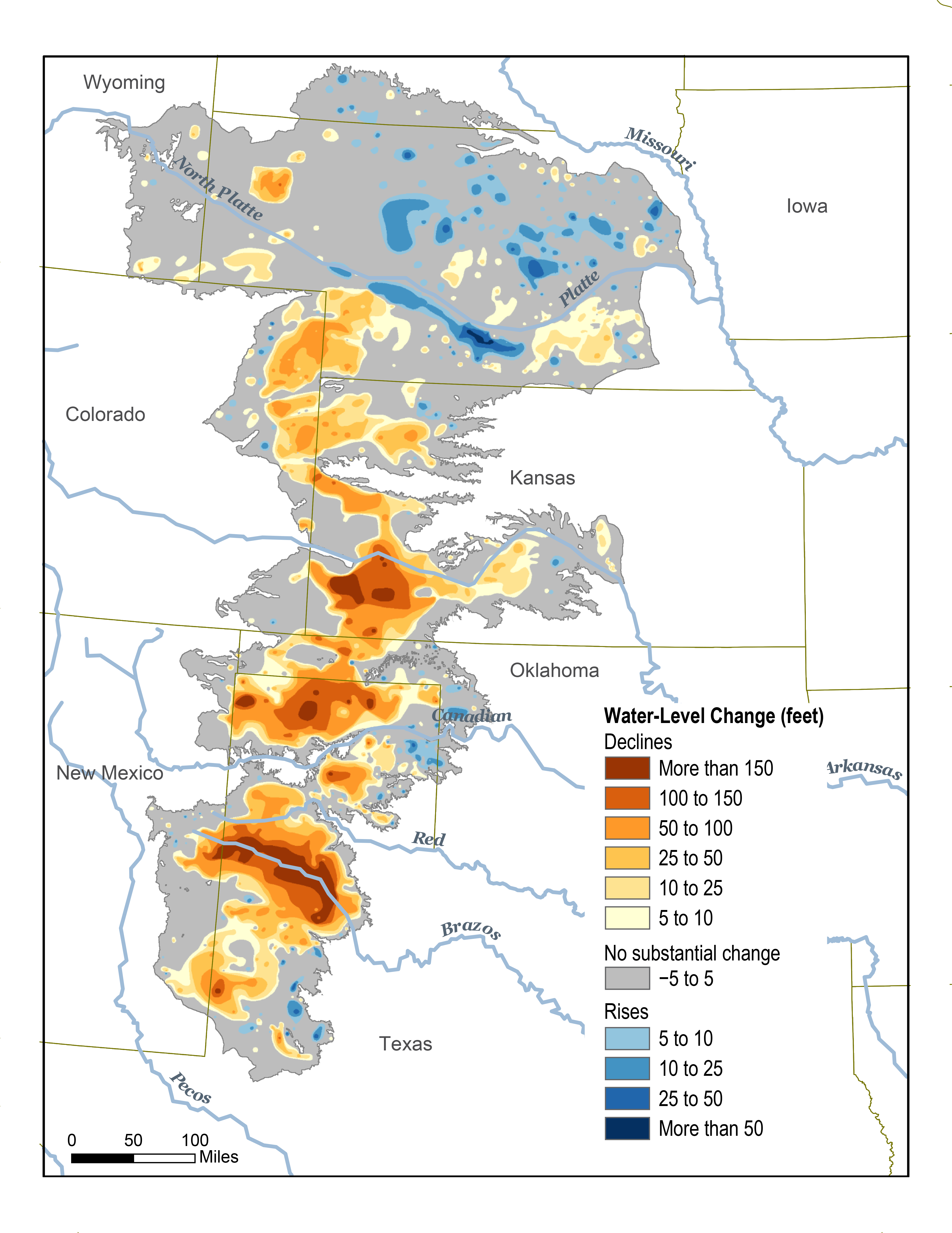
The Ogallala — also called the High Plains — is the water-bearing geologic formation nearest the surface, followed by the more water-rich Dakota and Cheyenne formations. Underlying both is a far larger reservoir yet called the Dockum Group.
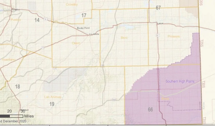
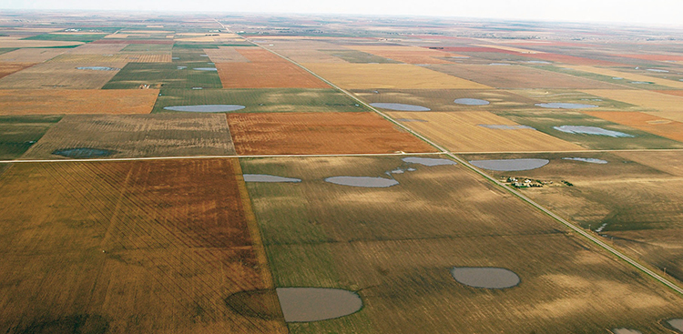
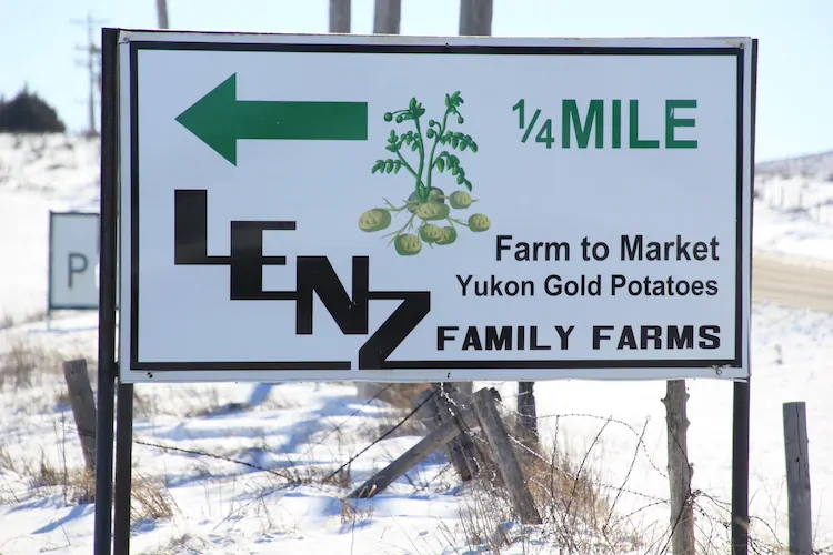
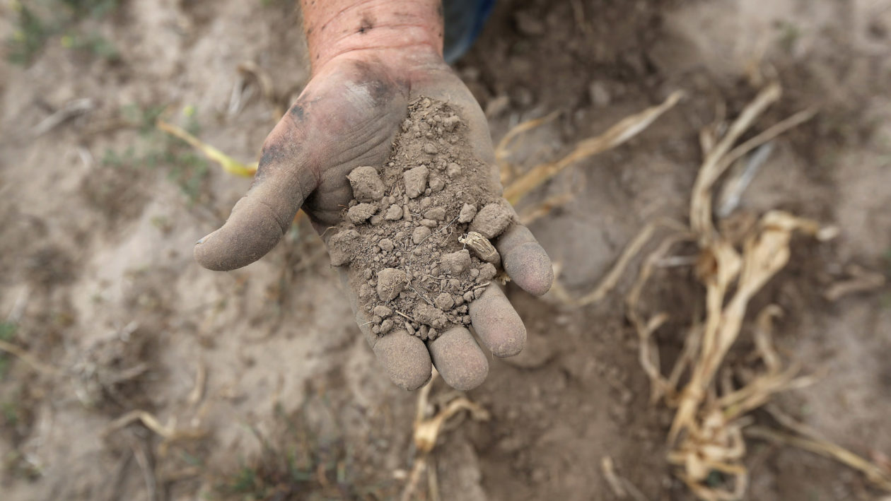
How long will that water last? A new report commissioned by Colorado, still in rough draft stage, finds that a little more than 2,000 wells mine these formations in Baca County and a portion of adjoining Prowers County. The vast majority of the water, 97%, irrigates alfalfa, corn and other crops. Remaining water goes to hog farms, stock ponds, and domestic wells for farmhouses as well as municipal supplies in Springfield and several even smaller towns.
An average 157,000 acre-feet were mined annually from these subterranean deposits from 2020 through 2024. To put that into perspective Denver Water delivers an average 232,000 acre-feet to the 1.5 million residents in Denver and adjoining jurisdictions.
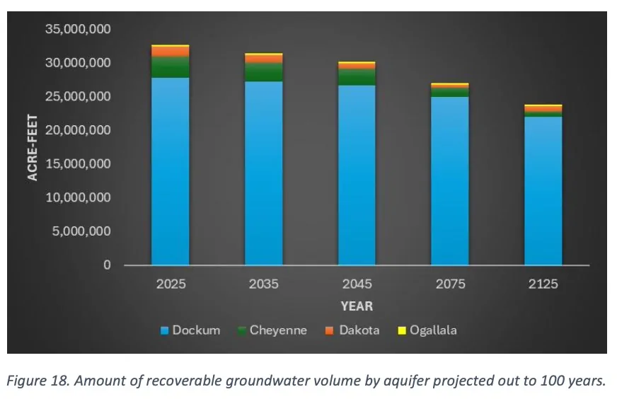
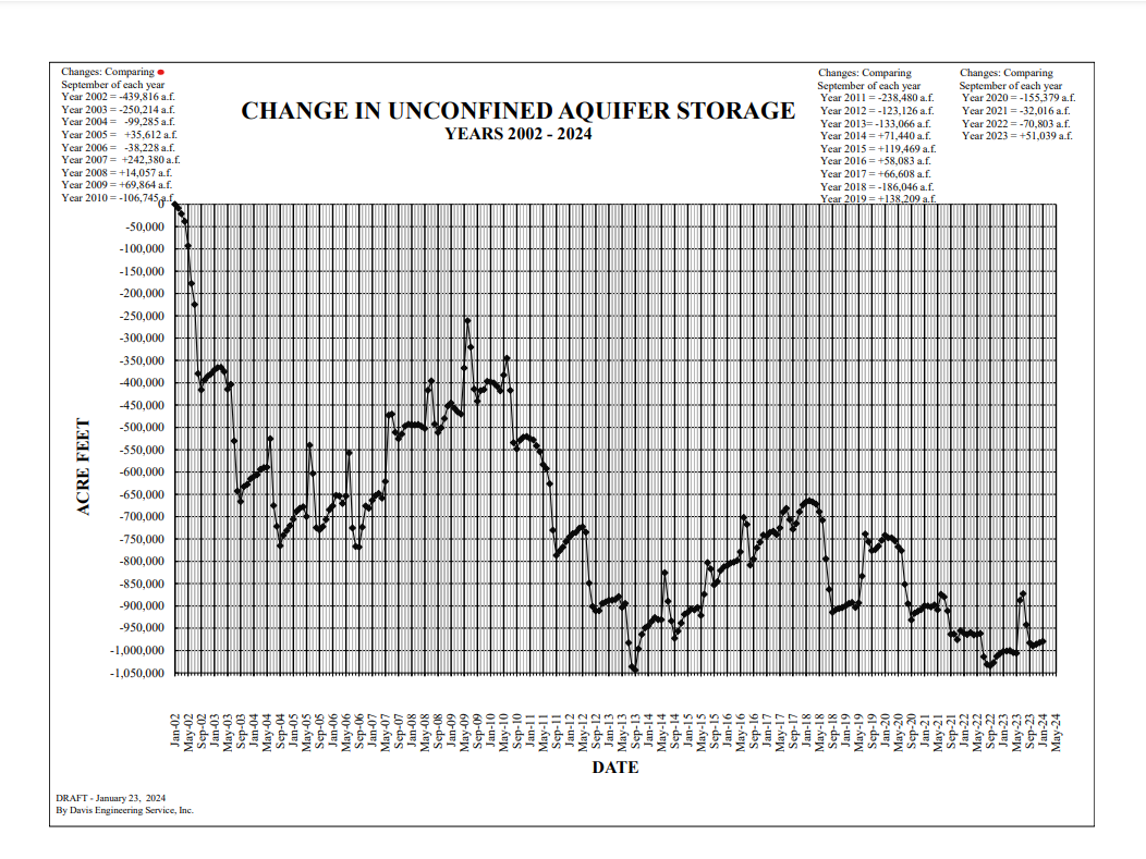
The answer to the question about how long the water will last has not been fully answered. At current rates of pumping, the Ogallala will be gone by 2045, according to this draft study. The next two deeper formations, Dakota and Cheyenne, have been depleted more rapidly but have more water.
The deepest water, in the Dockum, could last a century or more. It depends partly on the quality of water extracted at greater depths. There seem to be some unknowns about this. Cost of extraction is also a factor. Deeper wells cost more money to drill. It also takes more electricity to pump water to the surface. Would crop prices justify the added expenses?
With those asterisks in mind, the study estimates nearly 33 million acre-feet of water can be economically recovered from the four water-bearing geologic formations in that southern high plains groundwater district.
On average, Colorado consumes 5.3 million acre-feet of water per year, although some of that water gets reused. Think of runoff from farm fields or treated sewage that reenters streams and rivers. When that is added up, Colorado’s total diversions hit 15.3 million acre-feet. This southern plains basin bordering Kansas and Oklahoma is just a small part of Colorado.
Unlike Colorado’s rivers, which are mostly derived from snowmelt and rainfall, the groundwater recharges but much more slowly than the extraction. This study estimates an annual recharge of 32,000 acre-feet compared to the 157,000 acre-feet withdrawn.
Apart from the river valleys, dryland areas of southeastern Colorado were among the last places homesteaded in Colorado. First came the settlements of Denver, Colorado Springs, and Boulder with their access to water from the mountain streams and rivers and proximity to the mountain mining camps. Very quickly, water was diverted to create farms.
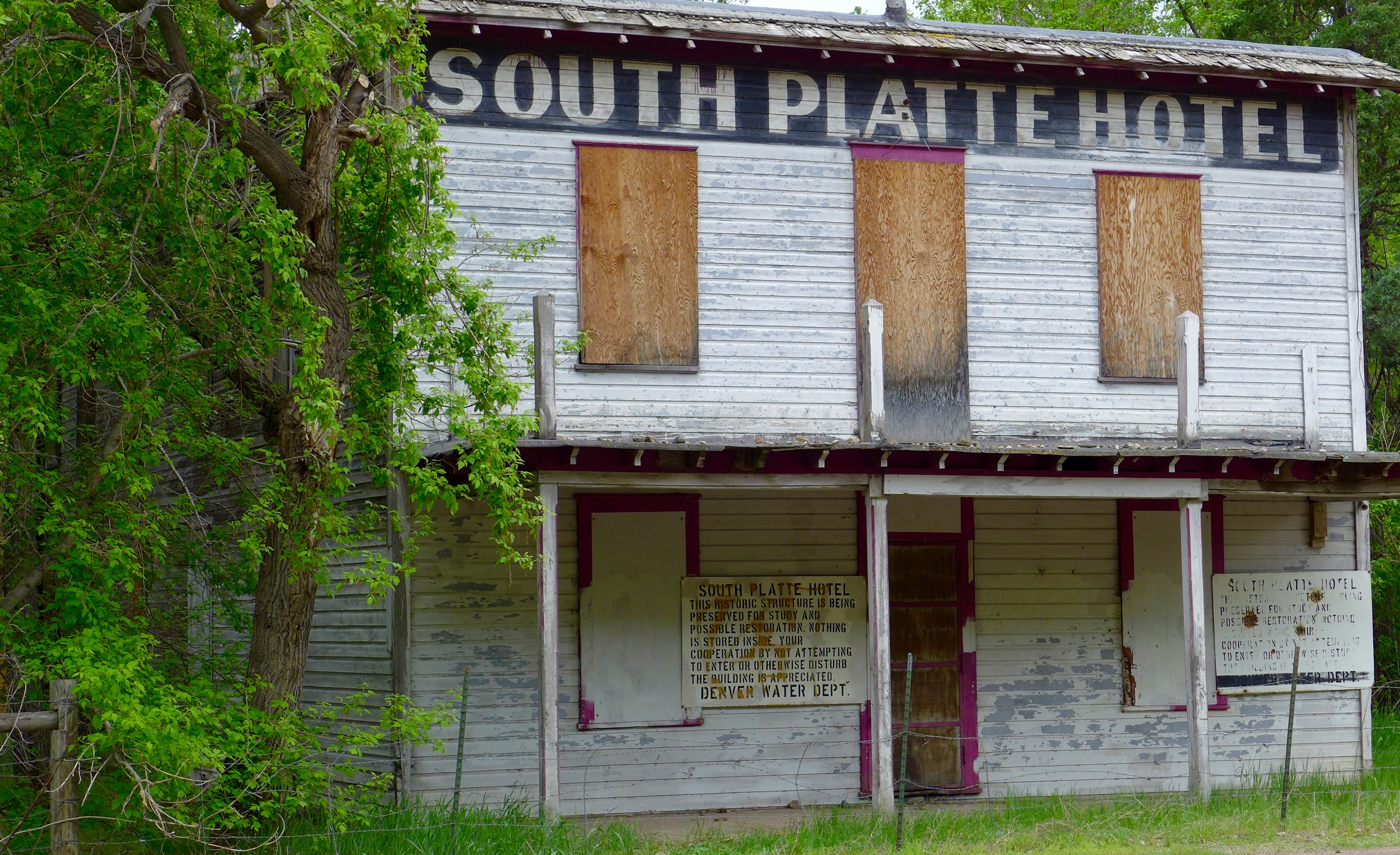
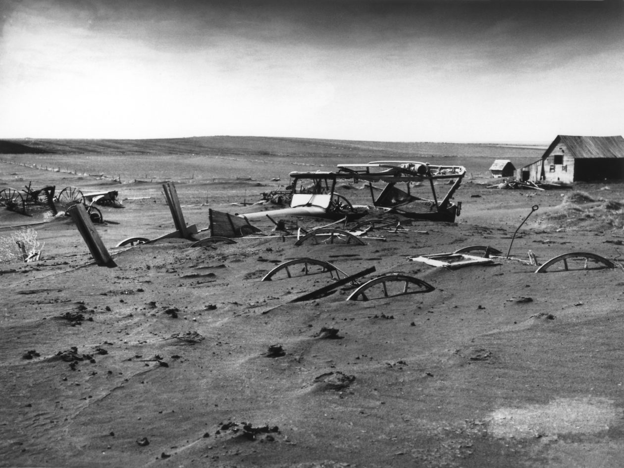
Homesteading of the high plains began about 30 years later. By then, the buffalo were gone, and the last battle with Native Americas had occurred in 1869 at Summit Springs. Settlement near Springfield, Walsh and other Baca County towns continued through the 1920s. Peak settlement occurred in about 1930, before the weather turned hotter and drier and the skies filled with dust. Baca County during the decade of the Dust Bowl and the Great Depression lost more than a third of its population.
Baca County since then has continued to lose population as farm sizes have grown. While groundwater extraction has provided a modicum of prosperity, the county ranked 57th among Colorado’s 64 counties in per-capita income as of 2022.

The Colorado Ground Water Commission — created in 1965, before groundwater became a common word — has legal purview over extraction. The commission can set limits on the allowable rate of depletion.
The southern high plains district limits new wells within a half-mile of existing high-capacity wells. But it is still possible to get a permit for a new well. That is in dispute. Some think the basin needs to be “closed,” to bar future wells and hence prolong the life of the aquifers.
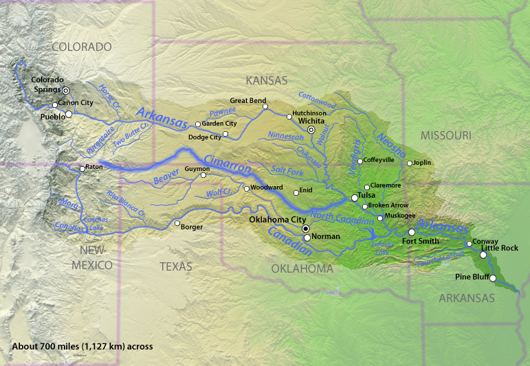
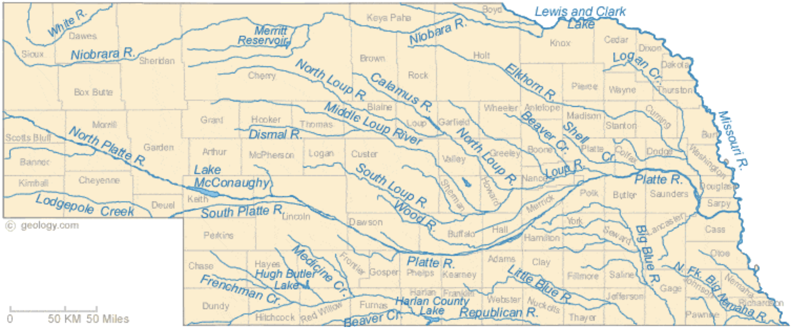
This groundwater basin in southeastern Colorado is very different from the Republican River Basin of northeastern Colorado in one crucial way. The aquifers do not deliver water to a river subject to a multi-state compact. The Cimarron River nicks the extreme corner of Colorado, but testimony to the poverty of water in this “river” is provided by those traveling to Santa Fe in the 19th century. Nearly all followed the Arkansas River, not the Cimarron, despite the latter route being much shorter.
In contrast, a compact struck in 1943 governs flows in the Republican River. It arises far from Colorado’s mountains and is instead nourished by water seeping out of the Ogallala in places like Holyoke and Yuma and Burlington. Mining of groundwater in the basin to grow crops reduced flows to the extent that Kansas sued Nebraska, which in turn sued Colorado. Now, farmers in the basin are trying to reduce their withdrawals by voluntary retirement of 25,000 acres from active irrigation. The 19,000-plus acres retired so far have been induced by financial incentives that tap federal but also state funds.
Without a compact to force reduced pumping in southeastern Colorado, the state can adopt its own rules.
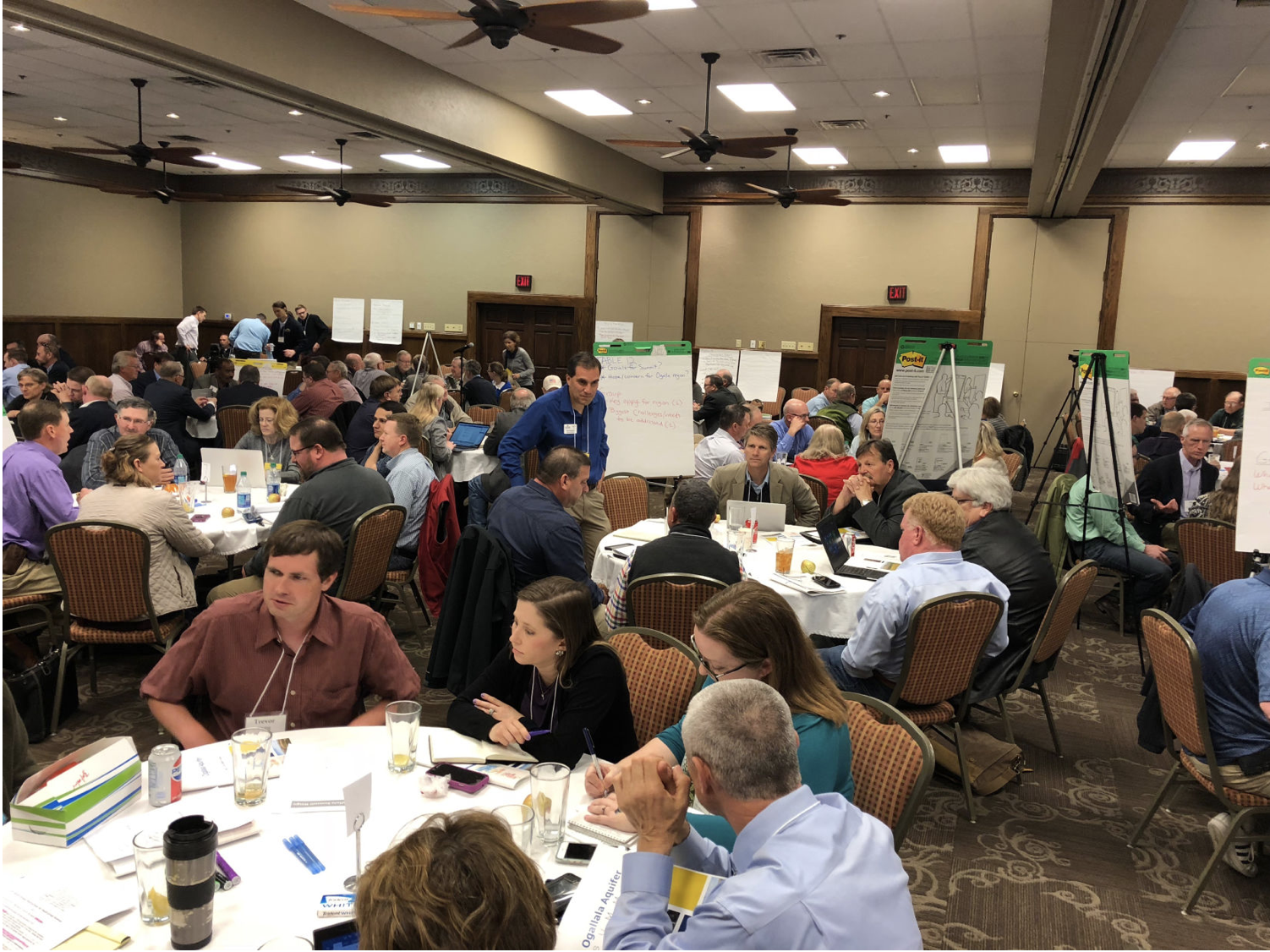
Residents of southeastern Colorado appear to be somewhat conflicted about whether new rules governing withdrawal are needed and what they should look like. Baca County’s Herald Plainsman in March 2023 reported on a “highly charged” meeting in Springfield called by the state’s Division of Water Resources. Tracy Kosloff, the deputy state engineer, explained that a group from the community had requested a rule change in the previous year.
Their intent was to block the issuance of new permits for high-capacity wells. Kosloff asked for the community to come to a consensus, if possible.
No consensus was evident at that meeting. at least according to the Plainsman Herald report. One speaker said that “without high-capacity wells, there will be no people left in the county.” Tim Hume, who is the region’s representative on the Colorado Ground Water Commission, said that without irrigation, two thirds of the people in the room would not be there. He also noted that one of the 67 monitoring wells had actually shown higher levels in the previous 20 years. But another speaker, Jack Dawson, said to keep irrigation going for quite some time, there was a real need to start conserving water.
With aid of a special $250,000 appropriation by state legislators, the Division of Water Resources commissioned a study by Wilson Water Group and HRS Water Consultants to provide new estimates of how much water remains that can be recovered economically. These consultants are also creating a planning tool to allow groundwater basin users to evaluate future groundwater use scenarios.
At a meeting scheduled for March 16 in Springfield, the consultants hope to glean insight from farmers about what constitutes economically viable extraction. How deep into the Dockum can they go and hope to be able to make money? How much water treatment is required and feasible? The big question is whether new rules will be needed to limit extraction.
Also to be determined are the goals under future conditions. How fast should the groundwater be mined? Or should there be limits beyond those few already in place? The consultants are to submit a final report before the end of 2026.
What comes of this new knowledge? It’s possible — maybe even likely — that some residents of southeastern Colorado will then file a petition with the Colorado Ground Water Commission to adopt new rules restricting extraction. This study sets up the facts for helping make that decision of whether to do so, and if so, how.
The draft study says a range of viewpoints can be expected. Some stakeholders will favor the status quo. Others might favor restricted pumping from specific aquifers or even from new wells, conceivably all wells. Expansion of irrigated acreage cold be curbed — although in some cases land has been taken out of irrigated production already.
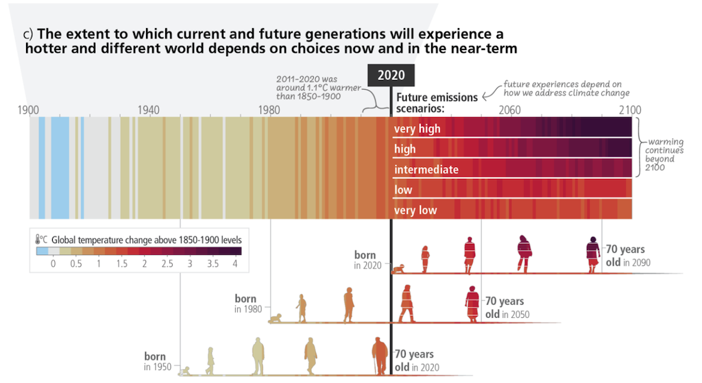
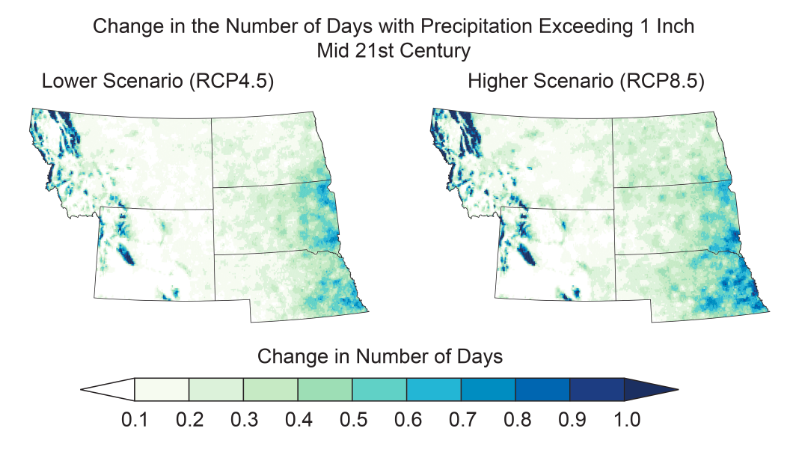
Also relevant is the shifting climate. The study mentions climate change just once, noting that hotter or drier conditions may occur in 50 years, affecting crop irrigation requirements. Already, however, the hotter temperatures of southeastern Colorado cause crops to need a third more water than those grown 200 miles north.
The most direct parallel to a ban on new wells in southeastern Colorado would be a similar ban on new wells in the upper Crow Creek drainage northeast of Greeley near the Wyoming border. The alluvial, Fan and White River aquifers within the designated basin were declared over-appropriated effective April 14, 2017.
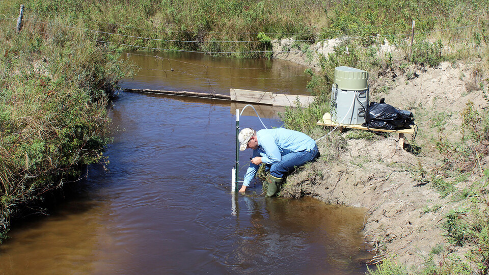
Hydrogeology of Colorado’s southeastern corner has been studied several times. First was a studyby the U.S. Geological Survey in conjunction with the Colorado Water Conservation Board completed in 1954. It recorded springs and creeks and pumping from wells for house and towns and stock ponds, with some of the records gleaned by New Deal workers in the 1930s. It made no attempt to quantify groundwater storage volume. Aquifer mining was non-existent in that area as high-capacity pumps had been created less than a decade before.
A 1967 study by R.W. Beck and Associates did attempt to quantify the groundwater resources. It estimated that groundwater extraction of 13,200 acre-feet in 1950 had grown by 1964 to 118,700 acre-feet.
The study projected that groundwater extraction in the basin would grow to 276,000 acre-feet by 2017. It is somewhat less. That study also projected that population of Baca County would grow to 4,700 by 2017. Actually, it declined to 3,500.
That study made no mention of the Dockum, the formation now believed to have the most water, based on well logs and other lines of evidence.
That study also recommended creation of a groundwater management district to assist in “development” of the extraction. That district was created.
Southeastern Colorado’s groundwater was also part of a six-state study of the Ogallala Aquifer in 1983.
Most recent were two related reports in 2002 by McLaughlin Water Engineers. This new study differs in a substantial way in that it uses data deeper than the 200 feet of the Dockum and hence increases the volume of water that may potentially be extracted. It also employs newer tools to figure out what exactly is going on down there in the dark, although exactly how much sharper insight this report delivers is not yet clear.
The Division of Water Resources also has conducted three studies in this century that define a steady but not dramatic decline of the aquifers in southeastern Colorado.
See Updated Southern High Plains Groundwater Study Draft Report and Planning Tool at the High Plains Study website.


.jpg)