How far will Lake Mead fall after all of its “banked” water has been withdrawn?

A skeleton wearing a straw hat and sunglasses relaxes in a beach chair in a desert landscape, next to a cooler labeled 'IGLOO ICY BEERS'. A bottle is in its hand and a towel is laid on the ground.
Image created by Google Gemini, May 6th, 2026, from the prompt: “generate a funny picture of a skeleton wearing a beach hat in the desert”.

by Robert Marcos, photojournalist

Water that’s banked in Lake Mead is officially called “Intentionally Created Surplus“, or ICS. The ICS allows major water users in the lower basin to store conserved or unused Colorado River water in the reservoir for their future use.

As of May 2026, Lake Mead’s water volume was 8.3 million acre-feet – or roughly a third of its total capacity. But after publishing this article we were made aware that we should subtract Lake Mead’s 2.3 MAF deadpool from that amount, which brings it down to about 6 MAF. Currently the ICS holds about 2.3 million acre feet of that water, which represents about 38% of Lake Mead’s available water.

Here’s a list of the water agencies and the estimated amount of water that each of them have currently banked in Lake Mead –

Arizona: According to official tracking from the USBR and the CAP, the state of Arizona’s total balance of accumulated Intentionally Created Surplus water stored in Lake Mead as of May 15th is approximately 310,000 to 350,000 acre-feet.

California: As of May 2026, California has roughly 1.2 to 1.4 million acre-feet of water banked in Lake Mead through the ICS and other conservation programs. Major participants include the Metropolitan Water District of Southern California, the Imperial Irrigation District, and the Palo Verde Irrigation District.4

Nevada: As of May 2026, Nevada has approximately 479,184 acre-feet of water banked in Lake Mead through the ICS program. This total represents a major portion of Nevada’s overall “water savings account,” which includes several different banking locations and programs.5

Mexico: As of May 2026, Mexico has approximately 200,000 acre feet of water banked in Lake Mead through the ICS program and related binational agreements. Mexico was granted the right to store water in Lake Mead following a 2010 earthquake that damaged its irrigation infrastructure. By 2026, these stored volumes have stabilized at around 200,000 acre-feet as Mexico uses the lake as a buffer against shortages.7

Five Facts About the United States Drought Monitor — Ciji Taylor (Farmers.gov)

US Drought Monitor map April 28, 2026.

Click the link to read the article on the USDA website (Ciji Taylor):

April 27, 2026

This is likely no surprise to you, but drought persists across the U.S. and is intensifying in some areas. No geographic area is immune to the potential of drought at any given time. The U.S. Drought Monitor provides a weekly drought assessment, and it plays an important role in USDA programs that help farmers and ranchers recover from drought.

The Facts

Fact #1 – Numerous agencies use the Drought Monitor to inform drought-related decisions.

The map identifies areas of drought and labels them by intensity on a weekly basis. It categorizes the entire country as being in one of six levels of drought. The first two, None and Abnormally Dry (D0), are not considered to be drought. The next four describe increasing levels of drought: Moderate (D1), Severe (D2), Extreme (D3) and Exceptional (D4). 

While many entities consult the Drought Monitor for drought information, drought declarations are made by federal, state and local agencies that may or may not use the Drought Monitor to inform their decisions. Some of the ways USDA uses it to determine a producer’s eligibility for certain drought assistance programs, like the Livestock Forage Disaster Program and Emergency Haying or Grazing on Conservation Reserve Program acres and to “fast-track” Secretarial drought disaster designations

Fact #2 – U.S. Drought Monitor is made with more than precipitation data.

When you think about drought, you probably think about water, or the lack of it. Precipitation plays a major role in the creation of the Drought Monitor, but the map’s author considers numerous indicators, including drought impacts and local insight from over 450 expert observers around the country. Authors use several dozen indicators to assess drought, including precipitation, streamflow, reservoir levels, temperature and evaporative demand, soil moisture and vegetation health. Because the drought monitor depicts both short and long‐term drought conditions, the authors must look at data for multiple timeframes. The final map produced each week represents a summary of the story being told by all the pieces of data. To help tell that story, authors don’t just look at data. They converse over the course of the map-making week with experts across the country and draw information about drought impacts from media reports and private citizens.

Fact #3 – A real person, using real data, updates the map.

Each week’s map author, not a computer, processes and analyzes data to update the drought monitor. The map authors are trained meteorologists from the National Drought Mitigation Center at the University of Nebraska-Lincoln (the academic partner and website host of the Drought Monitor), the National Oceanic and Atmospheric Administration, the National Aeronautics and Space Administration, and USDA. The author’s job is to do what a computer can’t – use their expertise to reconcile the sometimes-conflicting stories told by each stream of data into a single assessment.

Fact #4 – The Drought Monitor provides a current snapshot, not a forecast.

The Drought Monitor is a “snapshot” of conditions observed during the most recent week and builds off the previous week’s map. The map is released on Thursdays and depicts conditions based on data for the week that ended the preceding Tuesday. Rain that falls on the Wednesday just before the USDM’s release won’t be reflected until the next map is published. This provides a consistent, week‐to‐week product and gives the author a window to assess the data and come up with a final map.

Fact #5 – Your input can be part of the drought-monitoring process.

State observers in the drought monitoring network relay on-the-ground information from numerous sources to the US Drought monitor author each week. That can include information that you contribute.

The Drought Monitor serves as a trigger for multiple forms of federal disaster relief for agricultural producers, and sometimes producers contact the author to suggest that drought conditions in their area are worse than what the latest drought monitor shows. When the author gets a call like that, it prompts them to look closely at all available data for that area, to see whether measurements of precipitation, temperature, soil moisture and other indicators corroborate producer-submitted reports. This is the process that authors follow whether they receive one report or one hundred reports, although reports from more points may help state officials and others know where to look for impacts.

There are multiple ways to contribute your observations:

There are multiple ways to contribute your observations:

For more information, read our Ask the Expert blog with a NDMC climatologist or visit farmers.gov/protection-recovery.

Ciji Taylor is a USDA public affairs specialist

Nolan Doesken (Founder of CoCoRaHS) — Colorado Water Foundation for Water Education President’s Award Presentation 2011

‘Historic’ agreement between NM land grant and Forest Service to revitalize 200-year-old acequia: Santa Fe National Forest agreement ‘a great leap forward’ after century of tension, New Mexico lawmaker says — Patrick Lohman (SourceNM.com) #RioGrande

The dusty Acequia Madre de Cañon de Chama, pictured above April 28, 2026, will soon divert Rio Chama water toward historic orchards the San Joaquín del Rio de Chama Land Grant first planted more than 200 years ago, thanks to a new agreement between the land grant and the Santa Fe National Forest. (Photo courtesy Leonard Martinez)

Click the link to read the article on the Source NM website (Patrick Lohman):

May 5, 2026

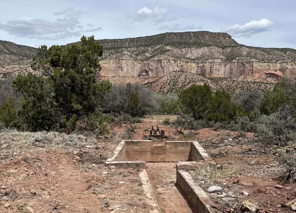
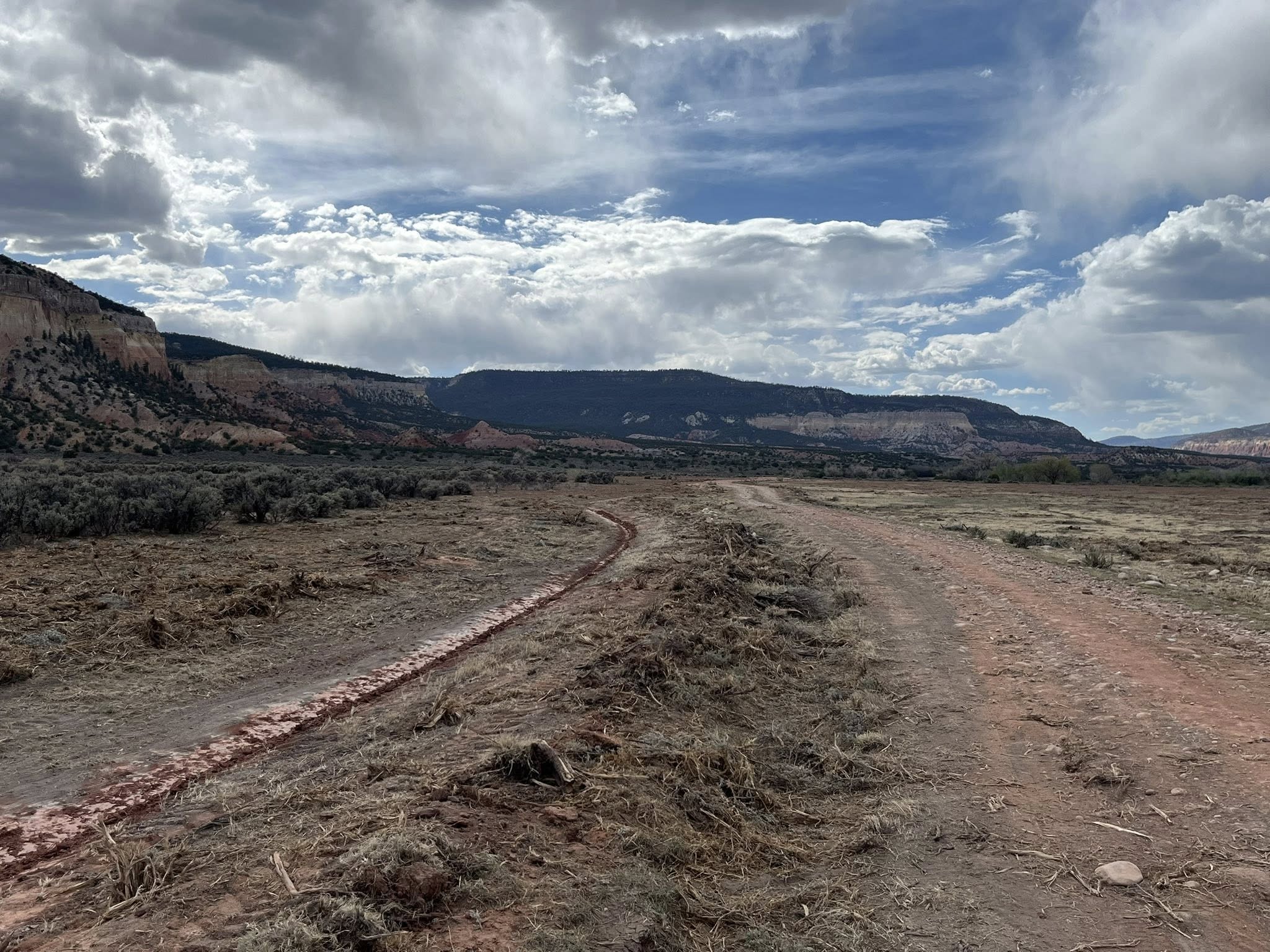
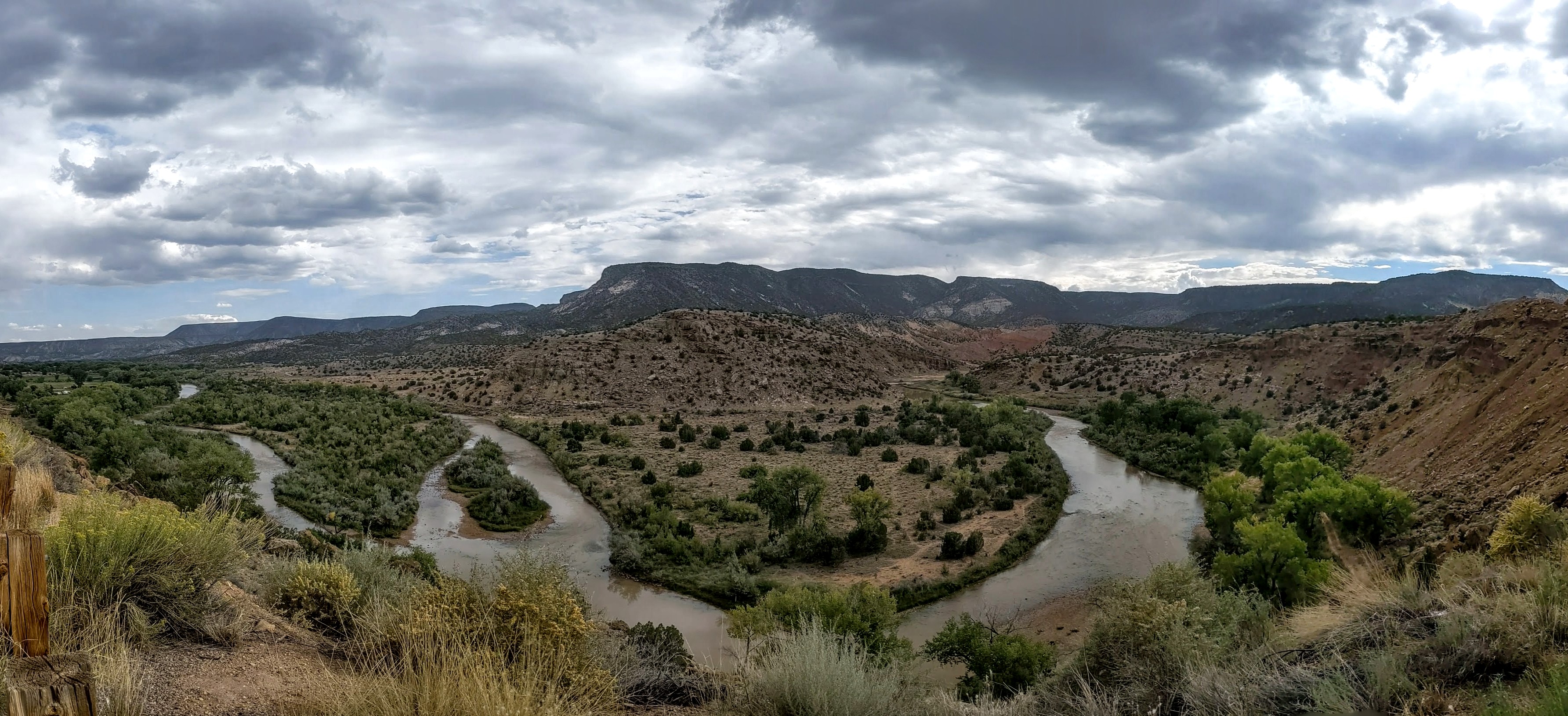
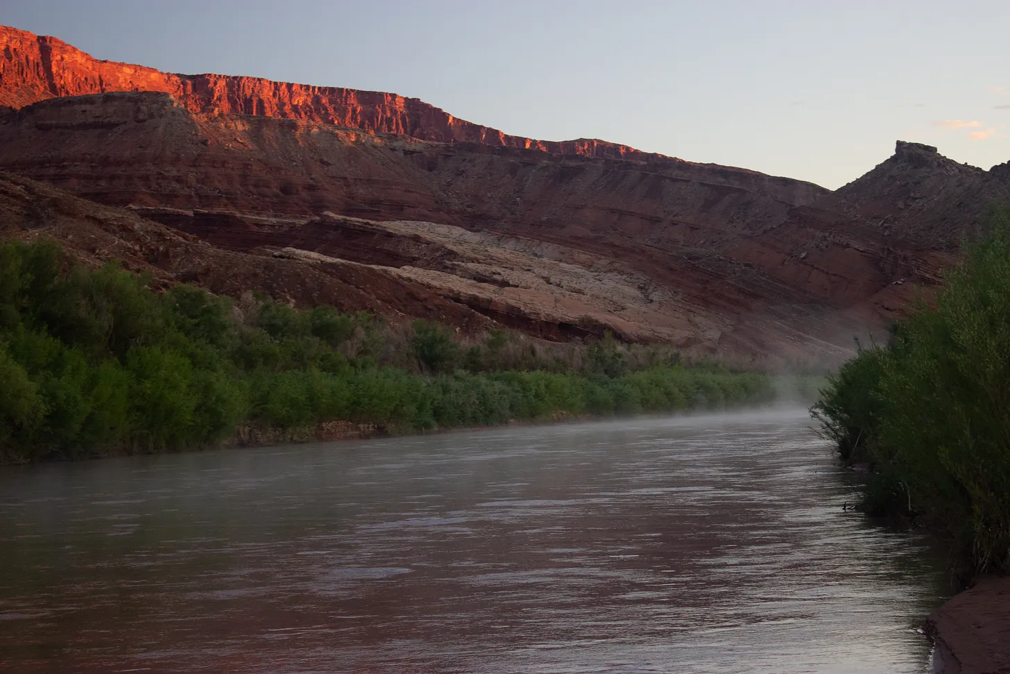
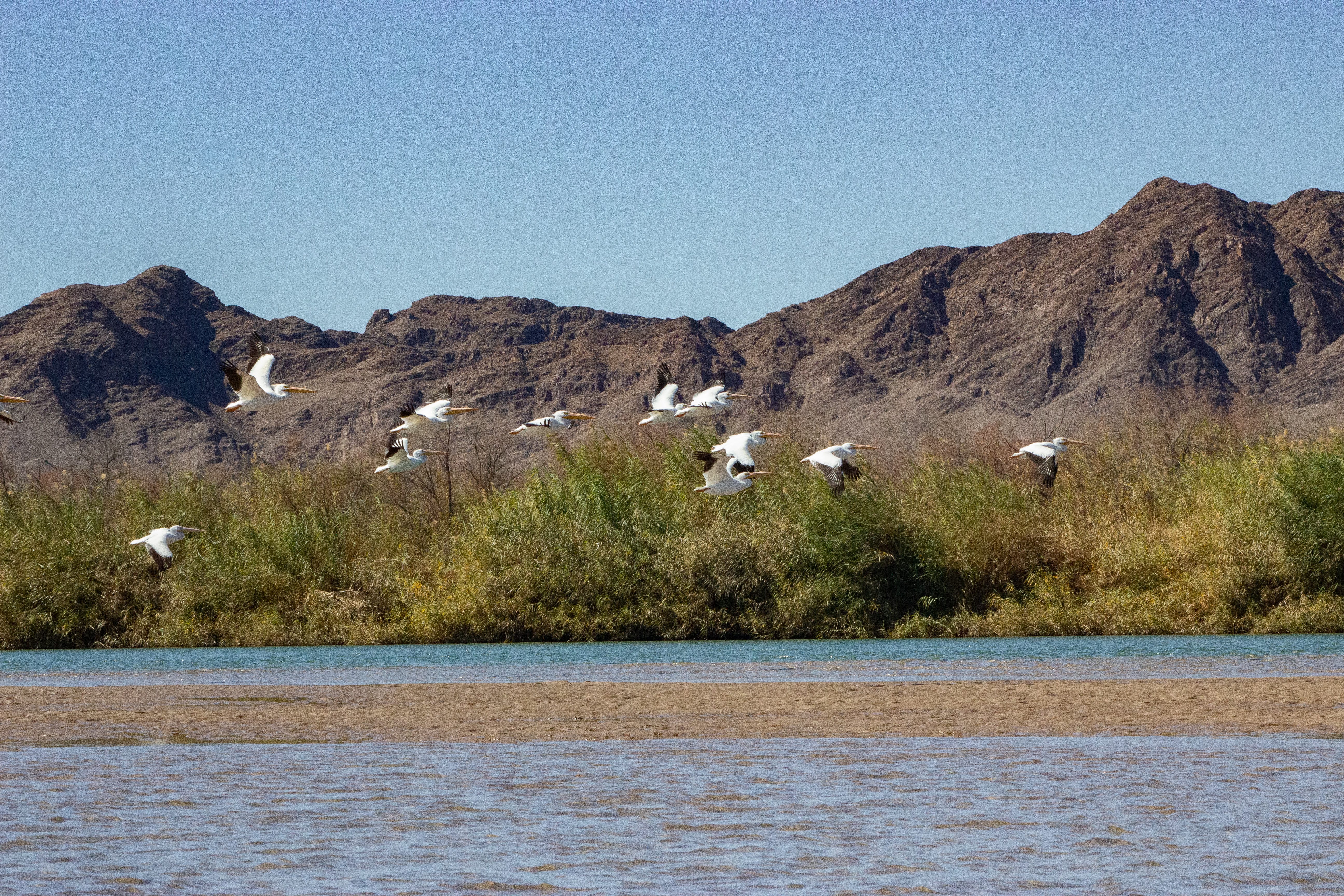
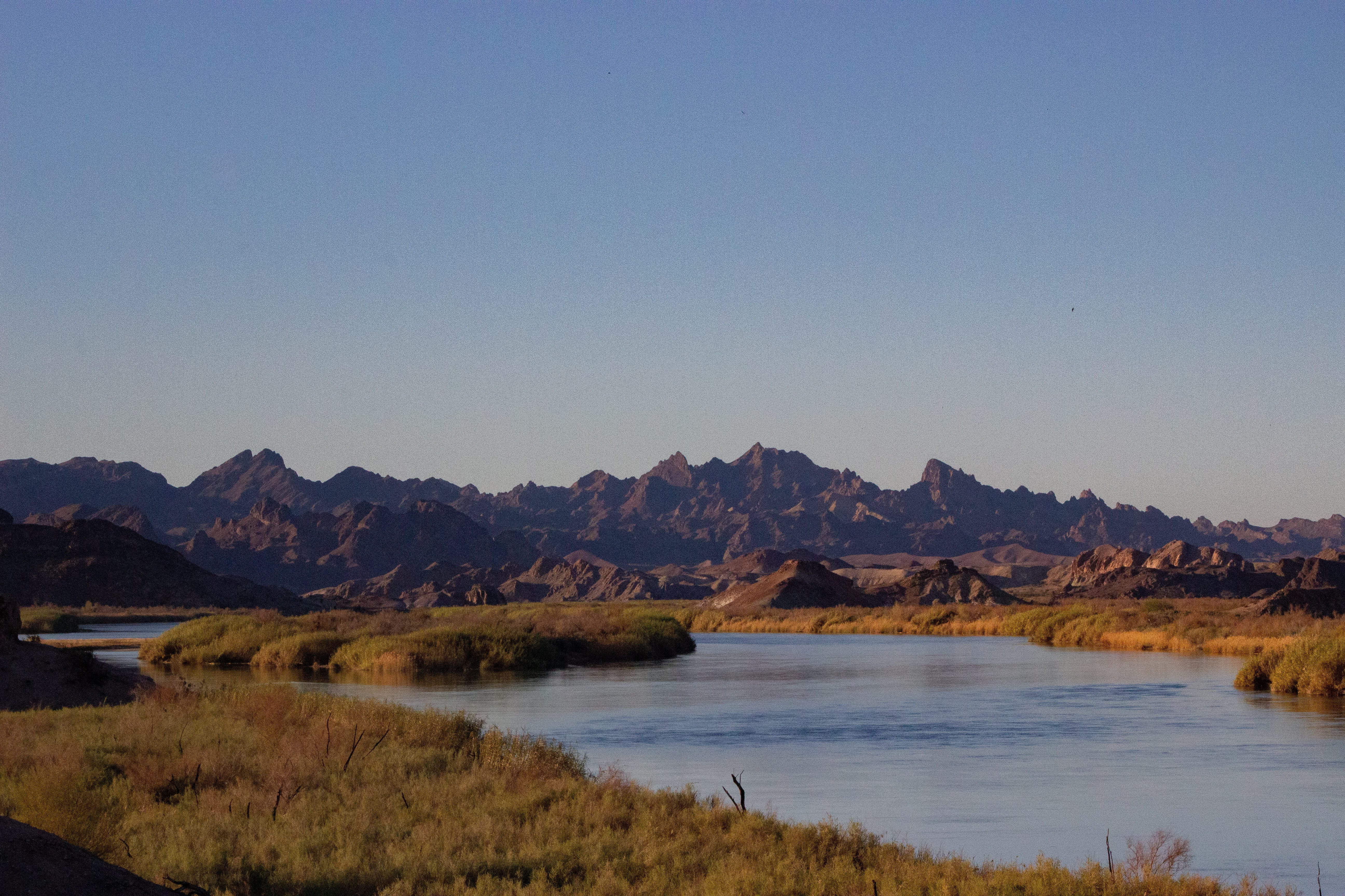
A dusty acequia in northern New Mexico, which more than 200 years ago diverted water from the Rio Chama, will soon spring to life again, nourishing freshly planted orchards of plums, apples and apricots.

That’s the idyllic scene envisioned through a new agreement between the Santa Fe National Forest and heirs of the San Joaquín del Rio de Chama Land Grant. The parties say the “memorandum of understanding” they signed in late March marks the potential thawing of more than a century of tension between New Mexico land grants and the federal government. 

The agreement, which the Santa Fe National Forest Service provided to Source NM through a public records request, identifies the acequia restoration as a “project of mutual interest.” It also recognizes the land grant as a consulting partner to the Forest Service and provides it greater input into the land’s future use. 

Leonard Martinez, president of the land grant, told Source NM that the nine-page agreement is a “historic document,” one that marks the first such formal agreement between land grants and the Forest Service. He said he’s spent nearly every day since the agreement was signed clearing the historic irrigation canal and working to reconnect it to the Rio Chama.

San Joaquin de Chama President Leonard Martinez said he has spent most every day since signing the memorandum of agreement digging out the old path of the acequia in the Cañon de Chama. (Photo courtesy Leonard Martinez)

If all goes well, he will open the headgates of the Acequia Madre de Cañon de Chama later this summer, sending Chama River water to irrigate a cover crop of alfalfa. Within five years, he hopes to replant historic orchards.

When that happens, he said, he hopes the “heirs who have left us,” many of them still buried in a cemetery near the headgates, will approve of his efforts. 

“That’s the key here,” he said. “We want to put our orchards and our fields back in.”

Santa Fe National Forest spokesperson Claudia Brookshire told Source NM that the agreement resulted from trust established through informal talks and individual projects. 

“The Forest Service has long been willing to work with land grants,” Brookshire said in an email. “But the lack of a formal framework, combined with trust barriers, made it difficult to begin projects on national forest system lands.”

The Santa Fe National Forest is in early discussions to develop similar agreements with two other land grants, Brookshire said.

In 1806, Spanish Governor Joaquín del Real Alencaster charged 44 families with stewardship of a 470,000-acre swath of what was then the New Mexico Territory. By 1860, according to the land grant, more than 800 residents established roots there, cultivating land within the river valleys, pasturing livestock and gathering resources from the surrounding common lands, known as the “ejido.” 

But after multiple lawsuits and land re-surveys over the ensuing decades, the federal government and land speculators acquired the land and evicted the residents. By 1905, the federal government recognized only about 1,500 acres of land along the Rio Chama as belonging to the land grant, but even that parcel ended up in the hands of the Rio Arriba Land and Cattle Company. 

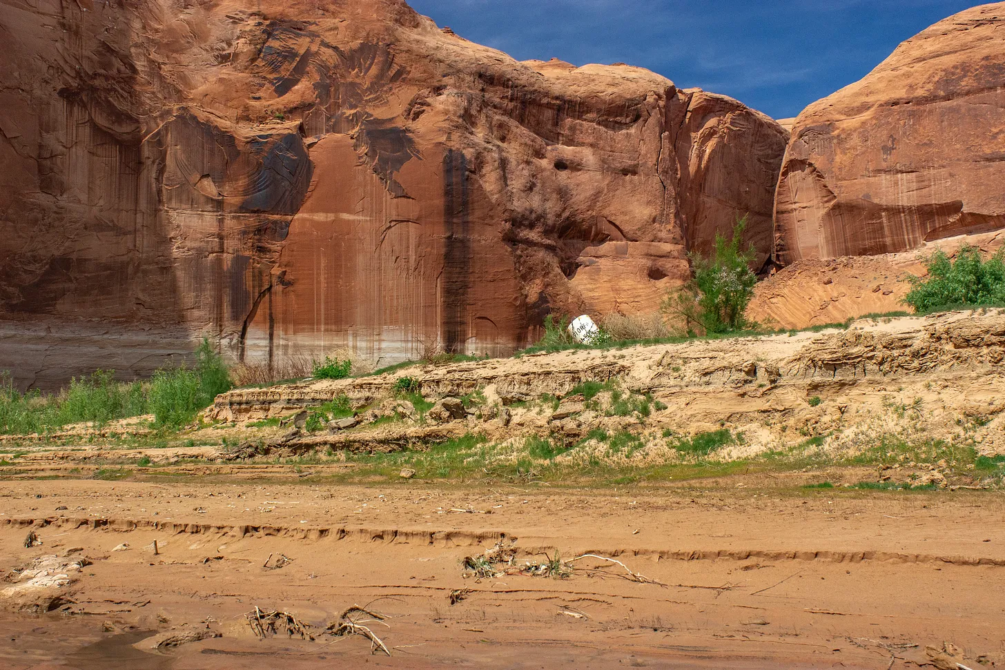
The parcel west of Abiquíu, known as the Cañon de Chama, remained the company’s property for decades before the federal government ultimately acquired it, as well. Today, all of the original San Joaquín del Rio de Chama Land Grant belongs to the Santa Fe National Forest or Carson National Forest.

Land grant heirs like Martinez have fought for more than a century to reassert their rights over the land, including seeking Forest Service permission to visit and care for the cemetery where their ancestors are buried. 

The heirs ultimately received a Forest Service easement in 2013 to access the cemetery. Since then, Martinez and other land grant leaders have continued to pressure the Forest Service for more access, particularly to the Cañon de Chama, which heirs describe as culturally and historically significant. 

Martinez told Source NM that the agreement is a result of trust built through the cemetery easement, he said, as well as guidance from the New Mexico Department of Justice’s Treaty of Guadalupe Hidalgo Division.

The NMDOJ created the division in 2003 to oversee and address concerns related to the provisions of the 1848 Treaty of Guadalupe Hidalgo, which ushered in the United States’ government’s problematic land title confirmation process and stripped the San Joaquin land grant heirs of hundreds of thousands of acres of communal land. 

New Mexico Rep. Miguel Garcia (D-Albuquerque) has spent much of his 30 years in office advocating for land grant heirs, including seeking recurring state funding and greater recognition of the historical injustice of the federal government’s land seizure. 

While he said the new agreement represents a “great leap forward” and commended Martinez and others for their efforts, he said his ultimate goal remains for the Forest Service to return land it now controls to the land grants.”

“These land grants that lost these common lands have not ceded their right to that land,” he said. “They have not given up that hope.”

The Rio Chama viewed from US highway 84 between Abiquiú, New Mexico, and Abiquiu Dam. By Dicklyon – Own work, CC BY-SA 4.0, https://commons.wikimedia.org/w/index.php?curid=110189310

Can the #ColoradoRiver Survive 2026?: Reporting on the front lines of low water for Sierra Magazine — Morgan Sjogren (Wildwords.Substack.com) #COriver #aridification

Click the link to read the article on the Wildwords.Substack.com website (Morgan Sjogren):

May 1, 2026

How is the Colorado River doing?

To get to the river and listen, there is an intricate web of management issues, antiquated infrastructure, and century-old legal disputes to thrash through. Unless you’ve gone outside in the Southwest lately. A 26-year drought is sucking the river dry, and unprecedented heat is rapidly evaporating this year’s record-low snowpack. 

These two conditions are leading to low water levels at Lake Powell and Lake Mead, the nation’s two largest reservoirs. That, in turn, jeopardizes critical water infrastructure for a large swath of the West. 

Reporting on this issue from the front lines, the growing margins of Lake Powell returning to Glen Canyon, made this reality strikingly clear. The river’s returning are only a portion of this watershed story. There are major questions about how the Colorado River will make it past Glen Canyon Dam in a rapidly drying future. Whether you love or hate Lake Powell, this is not an issue of recreation; it is about water equity for millions of people, desert ecosystems, and wildlife.

Here is the full story for Sierra Magazinehttps://www.sierraclub.org/sierra/can-colorado-river-survive-2026

A 1,500-word story is painfully insufficient to explain the breadth of this issue that threatens an entire watershed. Writing a book is starting to feel sane! Of course, I do not make this easy for myself, always crawling around in the desert and floating around the watershed. But there is good reason to take the long view. As I write Riverside (Torrey House Press 2027), my life will continue its pulse between the river and writing flash floods. My PFD is on tight. Thanks for hopping aboard. 

Here are some photos taken throughout the watershed as I reported on the Colorado River for Sierra.

Low tide on Powell Reservoir. Photo credit: Morgan Sjogren
A river returns. Almost 50 miles of the San Juan, once inundated by Powell Reservoir, are flowing free. Photo credit: Morgan Sjogren
The humpback chub have inhabited the Colorado River watershed for 5 million years. The next 12-months might be their most critical to survival. Photo credit: Morgan Sjogren
The Little Colorado River, a Grand Canyon tributary, is a critical stronghold for the humpback chub. Photo credit: Morgan Sjogren
With such low flows, the Colorado River Basin will likely turn to pumping groundwater. The threat to springs affects the river’s baseflows, which are significantly supported by groundwater and springs.
“There’s not economic adjustments that the birds can make. A payout doesn’t help the birds that use those habitats.”––Jennifer Pitt, Colorado River program director for Audubon. Photo credit: Morgan Sjogren
Last year, Colorado River Indian Tribes (CRIT) granted the Colorado River legal personhood under tribal law. Photo credit: Morgan Sjogren
“The final words of any story are transmitted from a laptop, but the writing process all happens out here, with the watershed.” — Morgan Sjogren

States seek a ‘marriage counselor’ in #ColoradoRiver brawl. Are they too late? — HavasuNews.com #COriver #aridification

The Hoover Dam is a powerhouse! With an impressive output of about 3 billion kilowatt-hours of electricity annually, it provides enough energy to light up about 1 million households in Nevada, Arizona, and California, ensuring the lights stay on un the Southwest. Photo credit: USBR

Click the link to read the article on The Havasu News website (Alan Halaly). Here’s an excerpt:

May 1, 2026

In a Thursday joint statement, the Upper Colorado River Basin states of Colorado, Utah, New Mexico and Wyoming called for “immediate mediation” in the yearslong deadlock with the Lower Colorado River Basin states of Nevada, California and Arizona. They offered no details about who could fill that role or which entity would pay for the costs.

“Time is short, but structured negotiations through mediation offer a new path for authentic discussions,” New Mexico’s Upper Colorado River Commissioner Estevan López said in a statement. “Even at this late stage, we should pursue every opportunity to reach a workable agreement.”

[…]

Asked about how a mediator could differ from the federal government’s intervention or the appointment of a so-called “water master” at the U.S. Supreme Court, Entsminger said states are unlikely to view a mediator’s decision-making as binding.

“It’s certainly not litigation; it’s not even arbitration,” Entsminger said. “It’s more of a marriage counselor.”

[…]

Colorado River Board of California Chairman JB Hamby said in a Tuesday statement that his state proposed a mediation process last year. California officials see the need for both long- and short-term solutions, and mediation could push the Upper Basin toward “verifiable water contributions,” Hamby added.

“Effective mediation requires common ground, and the system cannot wait,” Hamby said. “Current conditions require immediate, measurable water reductions from every state.”

Map of the Colorado River drainage basin, created using USGS data. By Shannon1 Creative Commons Attribution-Share Alike 4.0

Initial fill of Chimney Hollow Reservoir — Northern Water #ColoradoRiver #COriver #aridification #SouthPlatteRiver