Does the Gila River flow into to the Colorado River, or is it the other way around?

A rusty metal bridge with an arched design, positioned over a sandy path surrounded by sparse vegetation and hills in the background.
A railroad bridge crossing the dry Gila River. Photograph from Storyblocks.

The Gila River has served as one of the most historically significant waterways in the American Southwest. In 1540 the Coronado Expedition had to construct rafts in order to cross the swollen river, which stretches 649 miles across New Mexico and Arizona. The Gila River has acted as an agricultural lifeline, a changing geopolitical border, a crucial westward migration corridor, and the birthplace of America’s wilderness conservation movement.1

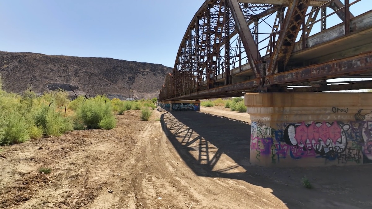
Four years ago I drove to Yuma and then turned north in order to reach the confluence of the Colorado and the Gila Rivers. After launching my drone my very first impression was that the Colorado River was flowing into the Gila, not the other way around. How could I tell? The Gila River was completely dry a half-mile east of the confluence.

Because of extensive upstream dams, irrigation canals, and city diversions feeding places like Phoenix and Tucson, the lower half of the 649-mile river is dried up completely. It typically becomes a dry, sandy riverbed long before reaching its natural confluence with the Colorado River near Yuma, Arizona.2

Ancient petroglyphs line the (former) Gila River shoreline at Sears Point, Arizona. Photograph by Robert Marcos.

Massive Upstream Diversions

The Gila River basin drains nearly 60,000 square miles. However, major structures like the Coolidge Dam and downstream diversion dams capture virtually all of its reliable surface water. The water is instead funneled into agricultural valleys and municipal pipes, leaving the final stretches of the riverbed barren.3

Rare Exceptions and Flooding

The Gila River only reaches the Colorado River during exceptional flood events. When massive winter snowmelt or powerful late-summer monsoons overwhelm upstream reservoirs, water must be released from the Painted Rock Dam. For example, historic wet winters have occasionally caused the Gila to violently discharge into the Colorado for brief periods, but these are anomalies rather than a steady, daily contribution.4

The “Reverse” Water Flow

Paradoxically, rather than the Gila supplying the Colorado River, the Colorado now supplies the Gila. Because Arizona over-drafted the Gila River system over the last century, the federal government built a massive 336-mile canal system. This canal actually pumps roughly 1.5 million acre-feet of water out of the Colorado River every year to supply the cities and farms sitting within the dry Gila River basin.5

Conservation Credits (Paper Water)

While the Gila River doesn’t add physical water to the Colorado, local entities actively help protect the Colorado River system through legal and conservation agreements. For instance, the Gila River Indian Community frequently signs landmark conservation deals with the U.S. government. They agree to leave large portions of their legal Colorado River water allocations untouched in Lake Mead to prop up dropping water levels in exchange for federal funding.6

Event Announcement: June 3rd film screening of “The American Southwest” and, director Len Necefer (Diné) Q&A #ColoradoRiver #COriver #aridification

Click the link to register on the University of Colorado website:

Campus Partner Spotlight:


On June 3rd, join us for a film screening and filmmaker Q&A of the critically-acclaimed documentary film The American Southwest to kick off the 2026 Colorado River Conference.

We are excited to welcome indigenous scholar, filmmaker and founder of NativesOutdoors Len Necefer (Diné) to accompany the screening of the film in co-sponsorship with the Getches-Wilkinson Center and the American Indian Law Program at the University of Colorado Boulder School of Law, as well as with our colleagues at the Center for the Humanities and The Arts in the College of Arts and Sciences at CU Boulder.

Advance registration is encouraged. You can register HERE

The latest El Miño/Southern Oscillation (#ENSO) diagnostic discussion (May 14, 2026) is hot off the presses from the Climate Prediction Center

Click the link to read the discussion on the Climate Prediction Center website:

ENSO Alert System Status: El Niño Watch

Synopsis: El Niño is likely to emerge soon (82% chance in May-July 2026) and continue through Northern Hemisphere winter 2026-27 (96% chance in December 2026 – February 2027).

In the past month, ENSO-neutral conditions continued, as indicated by near-average sea surface temperatures (SSTs) in the east-central equatorial Pacific Ocean (Fig. 1). The latest weekly Niño-3.4 index value was +0.4°C, with the westernmost (Niño-4) and easternmost (Niño-1+2) indices at +0.5°C and +1.0°C, respectively. The equatorial subsurface temperature index (average from 180°-100°W) increased for the sixth consecutive month, with widespread, significantly above-average subsurface temperatures across the equatorial Pacific. Westerly wind anomalies were observed over the western equatorial Pacific at low levels and were evident over the central and east-central Pacific at upper levels. Convection was near average on the equator near the Date Line and was suppressed around Indonesia. Collectively, the coupled ocean-atmosphere system reflected ENSO-neutral conditions.

The North American Multi-Model Ensemble (NMME) average, including the NCEP CFSv2, favors El Niño to form by next month and persist through Northern Hemisphere winter 2026-27. While confidence in the occurrence of El Niño has increased since last month, there is still substantial uncertainty in the peak strength of El Niño, with no strength categorization exceeding a 37% chance. The strongest El Niño events in the historical record are characterized by significant ocean-atmosphere coupling through the summer, and it remains to be seen whether this occurs in 2026. Stronger El Niño events do not ensure strong impacts; they can only make certain impacts more likely (see CPC outlooks for probabilities of seasonal anomalies). In summary, El Niño is likely to emerge soon (82% chance in May-July 2026) and continue through Northern Hemisphere winter 2026-27 (96% chance in December 2026 – February 2027).

#ElNiño is likely to emerge soon (82% chance in May-July 2026) — NOAA

New Paper Shows Surges of Concentrated Precipitation Can Lead to Dryer Landscapes — Jake Bolster (InsideClimateNews.org)

The early May winter storm that brought winter weather to Colorado and Wyoming dissipates, revealing the snowy landscape left in its wake. Taken on 6 May 2026, 17:21:00. GOES imagery: CSU/CIRA & NOAA

Click the link to read the article on the Inside Climate News website (Jake Bolster):

May 13, 2026

Snow and rain in the American West is concentrating at one of the highest rates in the world, researchers found, with implications for ecosystems, water management and this year’s El Niño.

Scientists have uncovered a new driver of aridification, potentially reshaping how drought across the globe is understood.

A new study published Wednesday in Nature by a pair of researchers from Dartmouth College and the Université du Québec à Montréal shows that changing precipitation concentrations exert an important influence over landscape moisture retention. When an area receives its annual moisture in a small number of large, wet storms, it can overwhelm the soils, creating pools of water on the land surface. These exposed pools are more prone to evaporation, meaning water that would otherwise reach streams, rivers and dams drifts back into the atmosphere. 

When paired with long dry spells, these storms dry out landscapes, even though total precipitation hasn’t necessarily changed, the researchers found.

“If you’re asking the land to drink from a fire hose, whether that’s through highly concentrated precipitation falling from the sky or rapid snowmelt, you’re going to lose water,” said Justin Mankin, an associate professor of geography at Dartmouth and the study’s senior author. “It is just a feature of the world that as you concentrate rainfall, less of it goes into the land.”

Using several precipitation datasets, Mankin and his co-author, Corey Lesk, a professor of Earth and atmospheric sciences at the Université du Québec à Montréal, determined where on Earth annual moisture was concentrating, and where yearly rain and snow totals were spreading out across the calendar.

“There’s really maybe two hotspots that have the strongest consolidation trends since 1980,” Lesk said. “One is the Amazon and adjacent regions, too, it’s a huge hotspot.”

“But the other hotspot is pretty much right over Wyoming [and] Colorado,” he added.

River basins across the American West have been drying out under a “megadrought” that has gripped the region for the better part of the 21st century, forcing Western states to cut back their water use and renegotiate—with considerable acrimony—the dwindling resource. Mankin and Lesk’s new paper adds to a growing body of science laying out the perils changing moisture cycles pose to river basins, where users are accustomed to receiving a set amount of water at a predictable time.

“The methods represent a strong combination of direct observations and tests of the relationships using computer simulations,” said Bryan Shuman, a paleoclimatology professor at the University of Wyoming who was not involved with the study. “These are not patterns that can be dismissed as untrustworthy computer predictions. They show that this pattern has been happening and can be observed.”

Shuman, who has previously studied precipitation concentration, said the dynamics outlined in Mankin and Lesk’s paper paint a sobering picture for the West’s climate. 

“The challenges raised here highlight how the future could involve both dangerous flooding but that that can come along with much worse droughts than in the past,” he said. “Simply put, we could receive the same amount of rain and still experience drought.” 

As the American West staggers out from its worst winter on record, there is a chance the coming El Niño cycle, where warmer water in the Pacific Ocean can increase temperatures and precipitation in the West, brings concentrated levels of precipitation, along with the potential drying Mankin and Lesk describe in their research. 

Since the early 20th century, the American West has blossomed on the vines of federal and state dams and canals meant to impound and transport water from where it flowed naturally to where it is useful for cities, farms and industries.

But this century-old infrastructure and the economies it enables could be “potentially maladapted to this rapidly changing climate,” Mankin said, in which the same amount of moisture packed into in a few heavy storms yields less water.

Moisture consolidation, which Mankin and Lesk believe is a logical result of a warming atmosphere, is “actually a new mode of volatility, a new way in which precipitation and the water cycle in a warmer climate is harder to predict and harder to manage,” Lesk added. 

“It’s not just more of the same that the West has always dealt with.”

ten tribes
Graphic via Holly McClelland/High Country News.