Click the link to read the article on the High Country News website (Lucas Bessire):
May 11, 2026
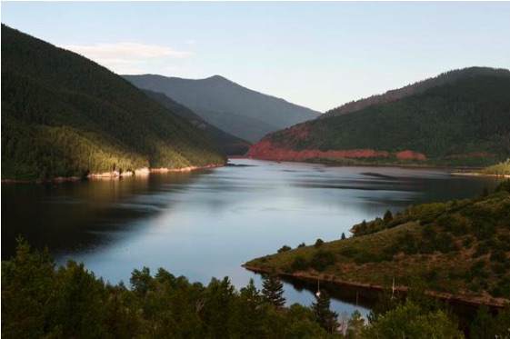
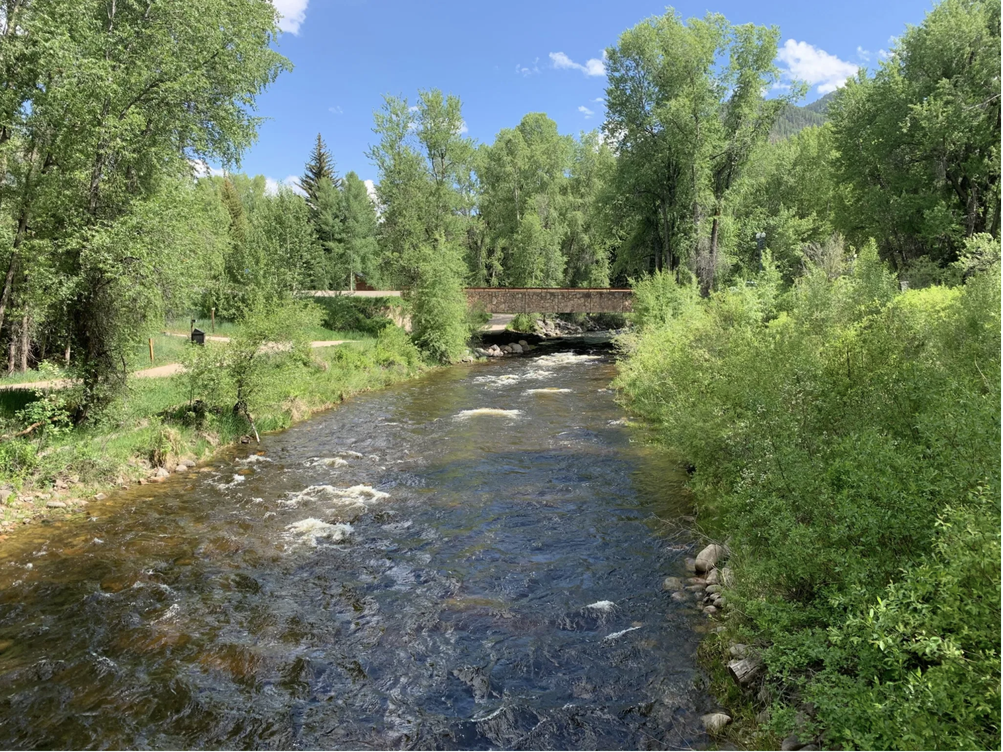
The western stretch of the Arkansas River, which flows from its headwaters in the Rocky Mountains across the plains of southeastern Colorado, is in trouble. That trouble is compounded by uncertainty about what, exactly, is polluting and drying the river, and how such problems can be fixed.
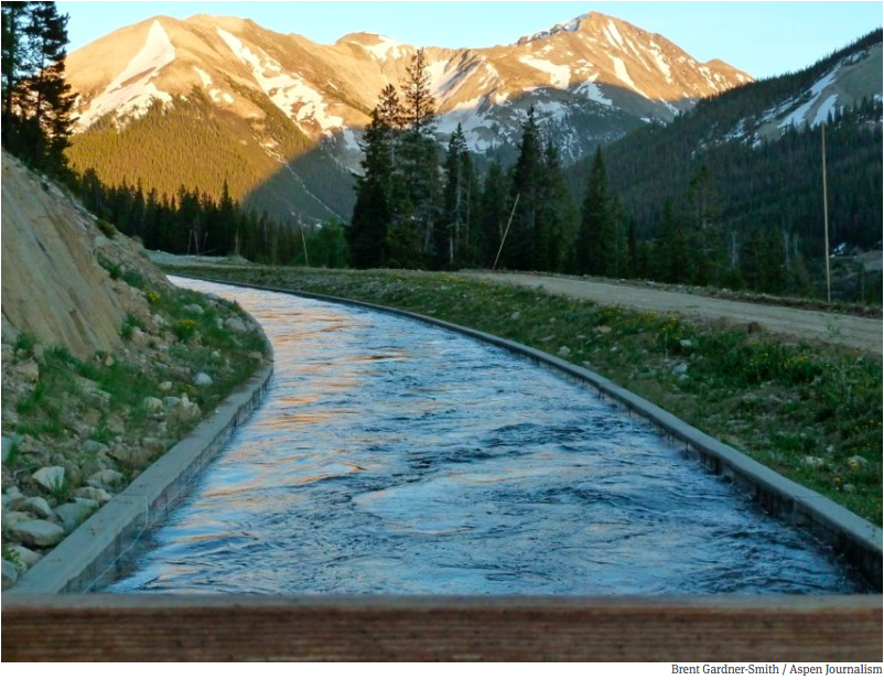
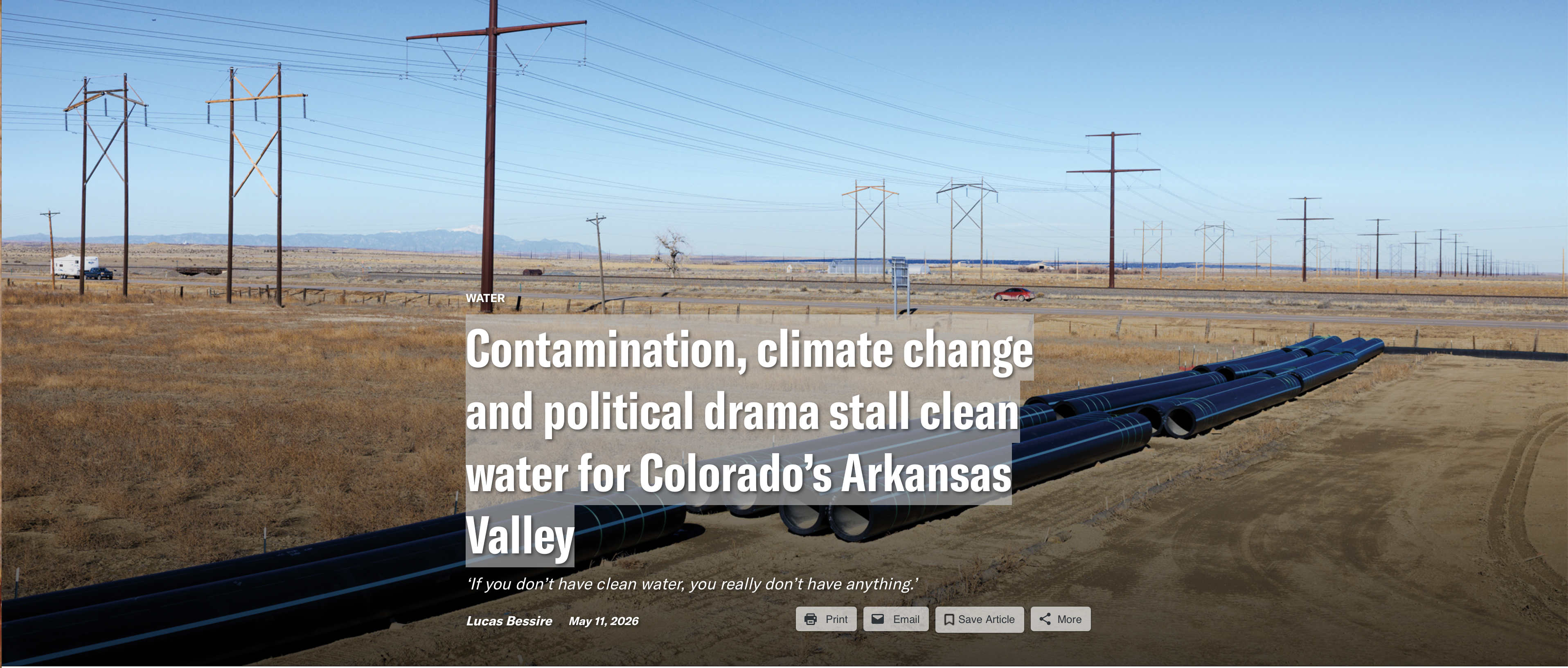
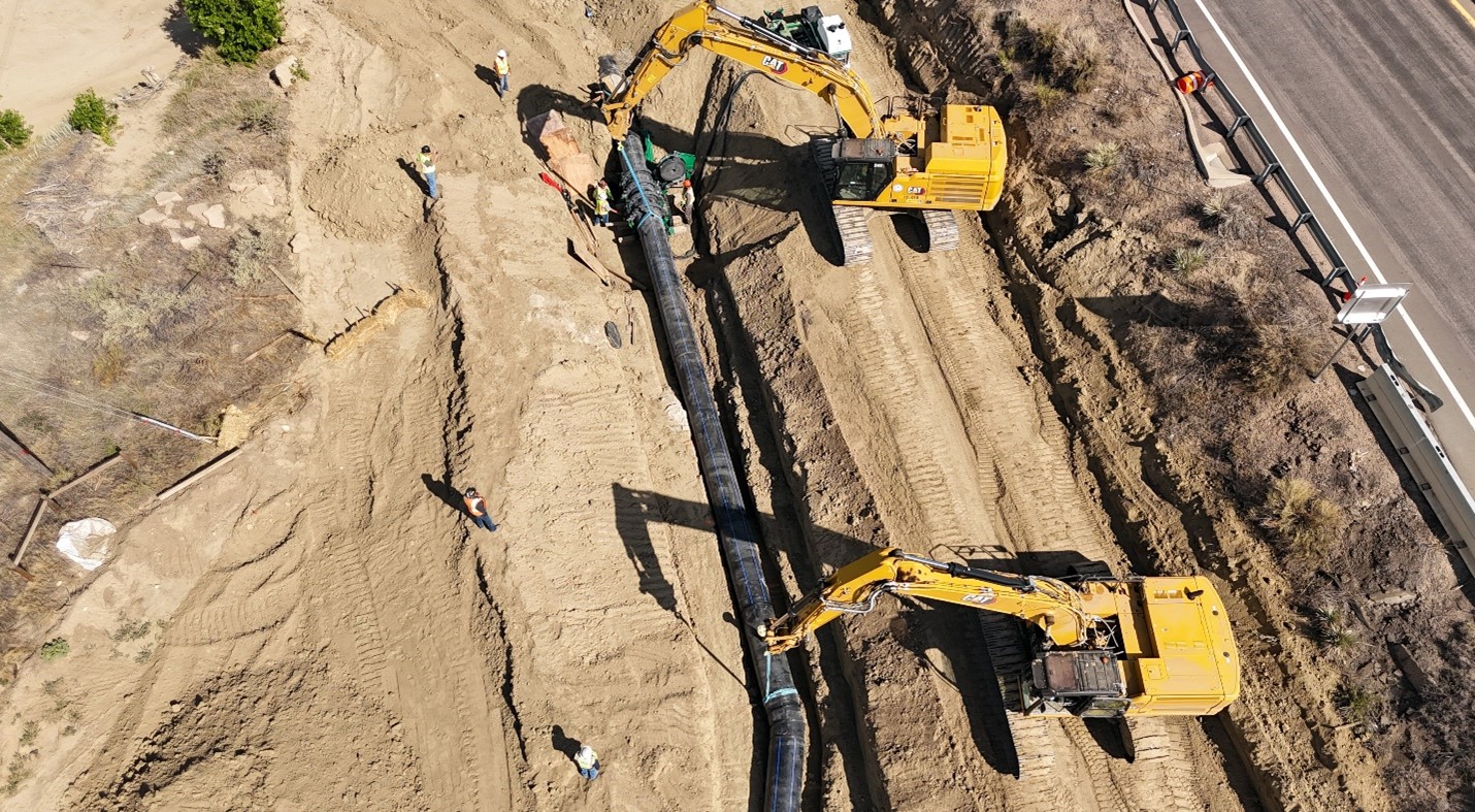
Overshadowed by the ongoing political brawl over the Colorado River, the Arkansas River Valley rarely appears in national news. But since Dec. 30, when President Donald Trump vetoed a bipartisan bill that would have secured favorable terms for funding to complete a $1.39 billion, 130-mile water pipeline, the region has become the stage for yet more drama about water in the Western U.S.

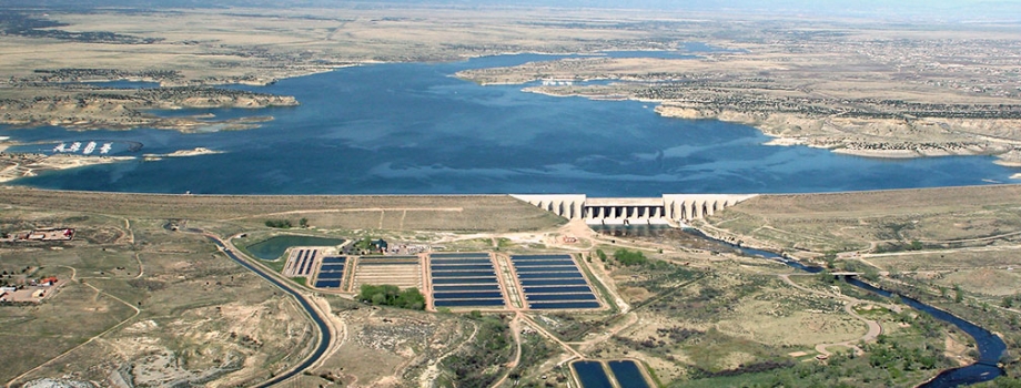
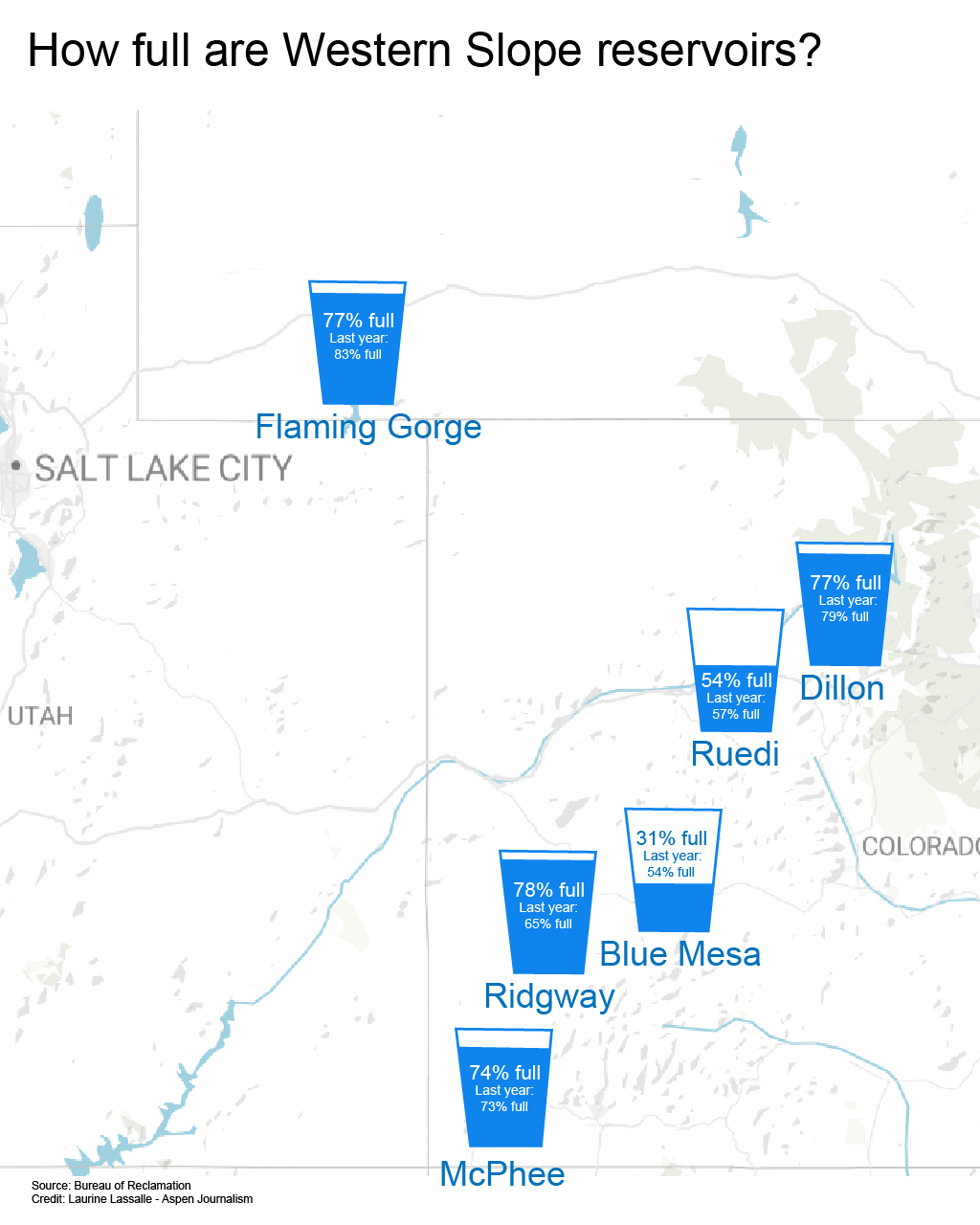
The Arkansas Valley Conduit is part of a decades-long effort to replace the dwindling, contaminated water in this stretch of the Arkansas Valley with clean water from Colorado’s Western Slope and the Pueblo Reservoir. If completed, it will supply water to roughly 50,000 valley residents, many of whom can no longer count on municipal supplies for safe drinking water.
Pundits portrayed Trump’s veto as retaliation against Colorado politicians: Republican Rep. Lauren Boebert, who helped force the November vote for the release of the Epstein files, and Democratic Gov. Jared Polis, who has resisted pressure to pardon Tina Peters, a county clerk in western Colorado convicted of tampering with voting machines during the 2020 election. Sens. Michael Bennet and John Hickenlooper, both Democrats, condemned the administration for “putting personal and political grievances ahead of Americans.” The Salida-based Ark Valley Voice declared a “Reign of Retribution Punishing Deep Red Southeastern Colorado.” The New York Times, emphasizing the same irony, observed that “A Trump Veto Leaves Republicans in Colorado Parched and Bewildered.”
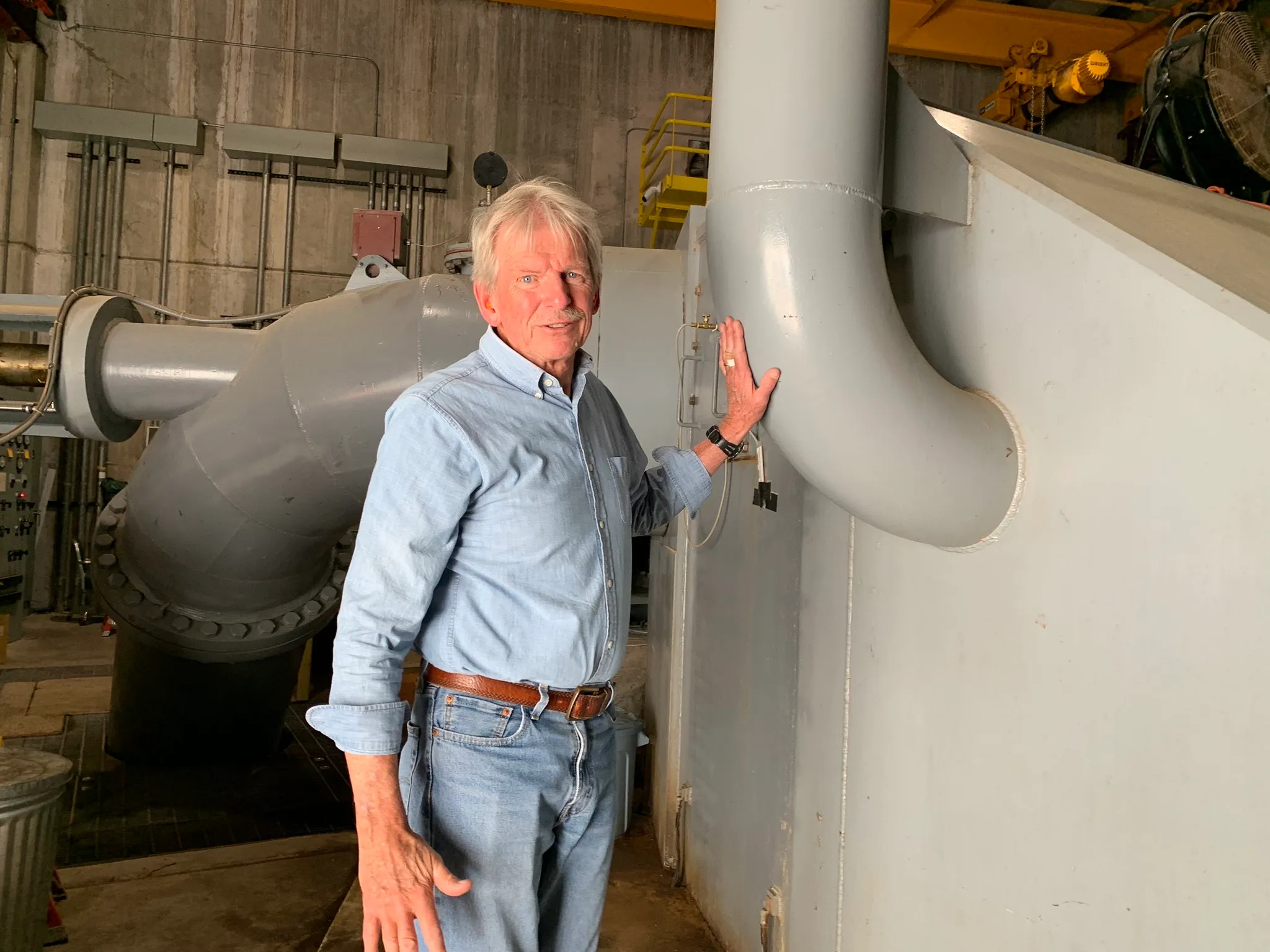
For those managing the project, the veto is a setback but not a showstopper. The first dozen miles of the conduit have already been completed, and enough capital is on hand for at least three more years of construction. “Some (coverage) has been saying it’s the end of the project, which is totally false,” said Chris Woodka, senior policy and issues manager of the Southeastern Colorado Water Conservancy District. “It’s still being built; the veto was not for any reason that had anything to do with the project, and we’re working in every way we can to make this affordable.”
For valley residents, the issue is personal. This rural region is more culturally aligned with western Kansas than with Front Range cities. Like people throughout the Great Plains, the local residents are grappling with eroding social services and the rising cost of living. The scarcity of safe water magnifies uncertainty. “If you don’t have clean water,” said Jack Goble, general manager of the Lower Arkansas Valley Water Conservancy District and a sixth-generation rancher, “you really don’t have anything.”
“HOW EASY IT IS,” wrote William Mills in his 1988 book The Arkansas, “to take a river for granted.”
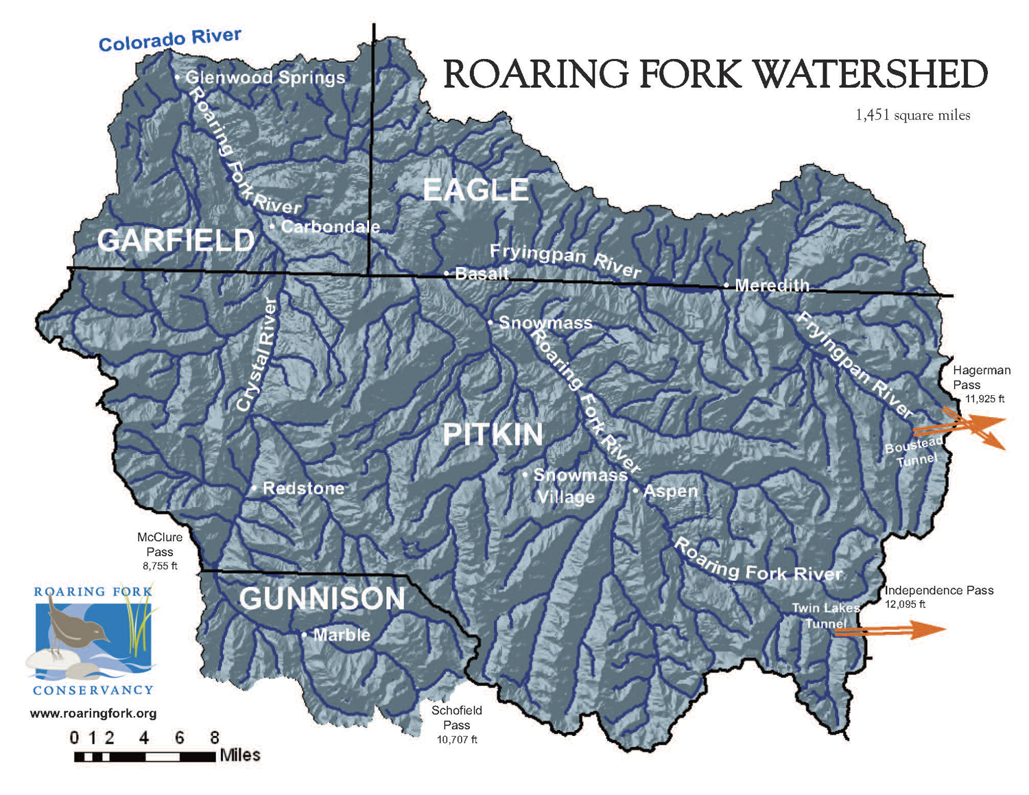
The Arkansas Valley of Colorado is the ancestral homelands of the Plains Apache, Comanche, Kiowa, Cheyenne and Arapaho peoples. A geographical corridor across the Southern Plains, it was a route for incursions and ethnic cleansing by non-Native fur trappers, traders, military expeditions, hide hunters, railroad developers and settlers. Those settlers include my ancestors; I grew up in southwest Kansas, where generations of my family farmed and ranched along the dry Cimarron River. The Arkansas Valley, with its dwindling water and flatlands, feels like home.

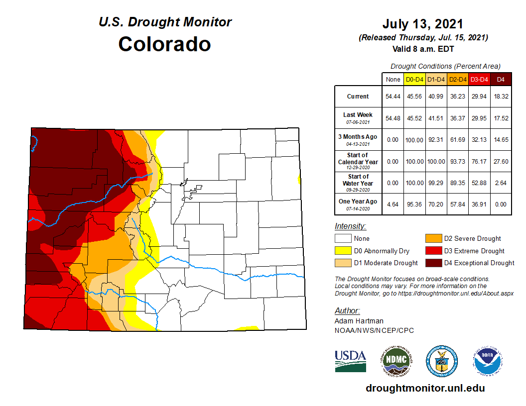
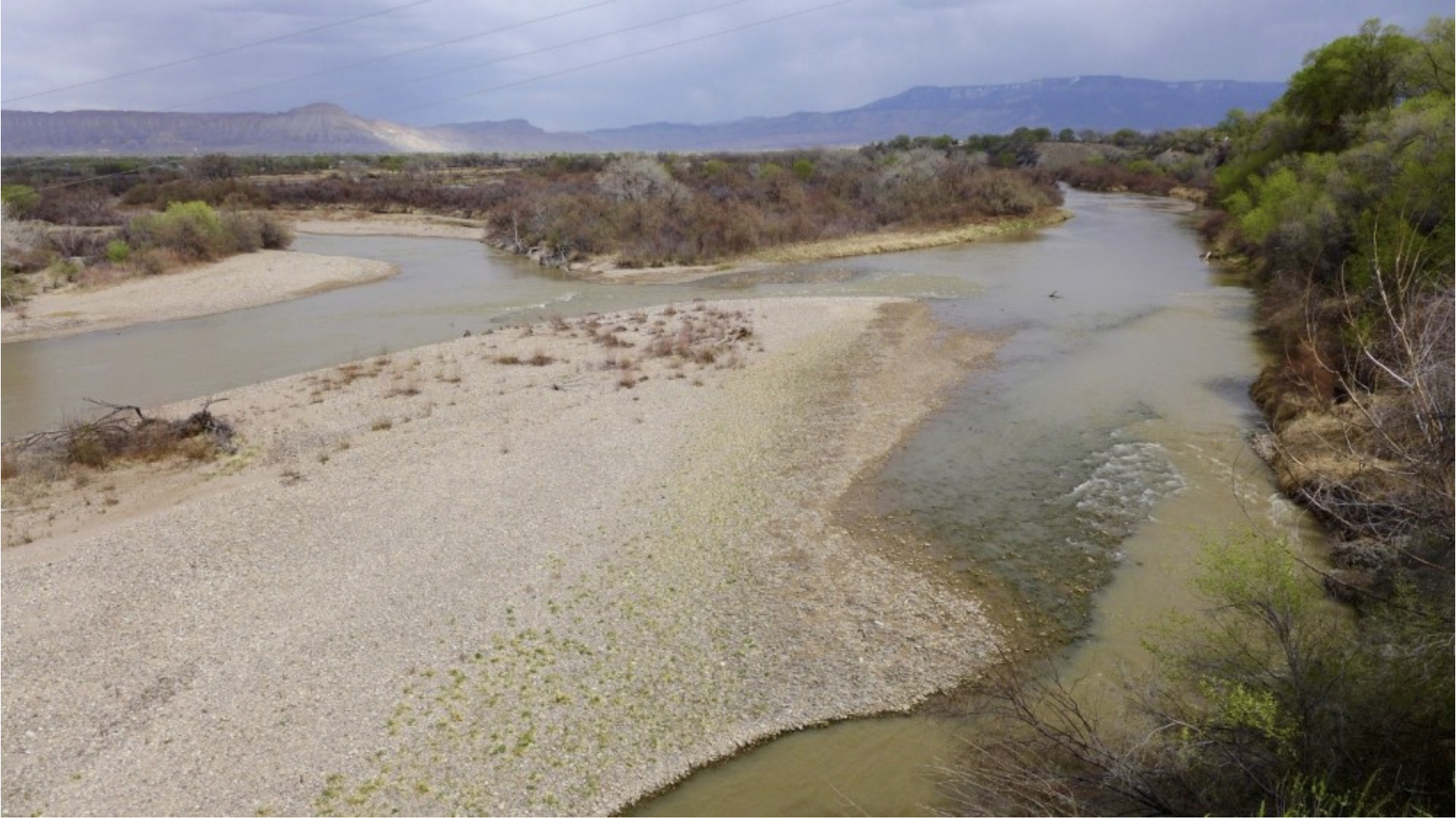
By 1900, settlers had diverted the Arkansas into a maze of ditches. Irrigation and migrant labor supported sugar beet factories, vegetable cultivation and Rocky Ford’s famous melons. Such practices remade the riverbed, increased salinity, and reduced flow. As with the Colorado River, water rights were assigned partly on wishful thinking. Today, the Arkansas Valley is one of the region’s most over-appropriated basins, and the river’s annual flow has dramatically declined. A short distance past the Kansas line, the river is entirely dry.
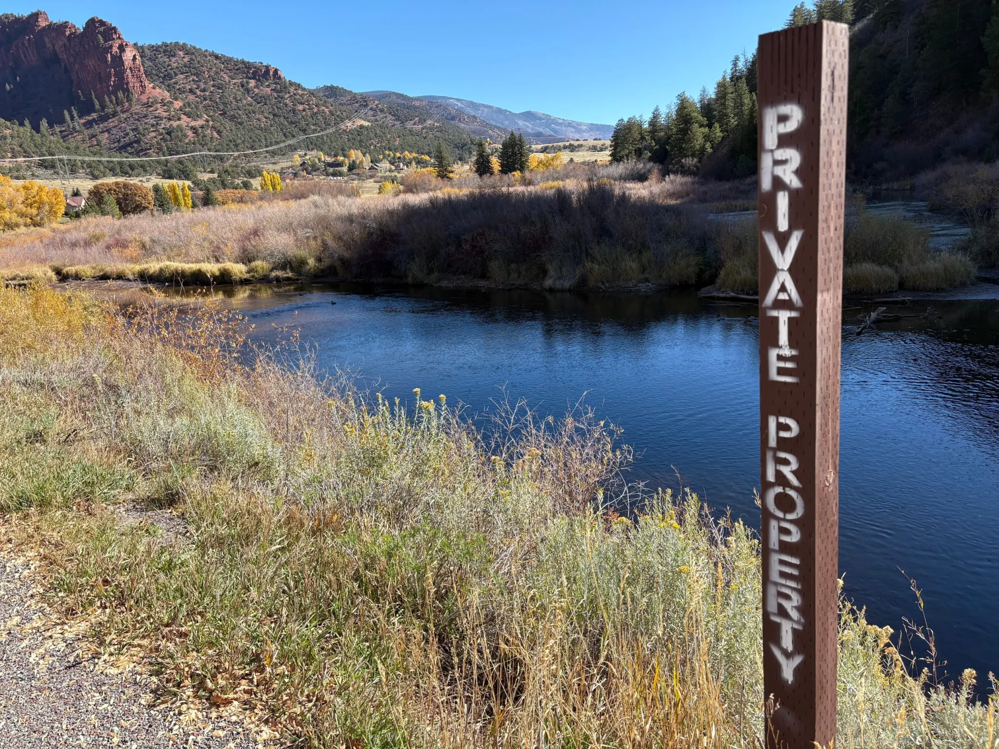
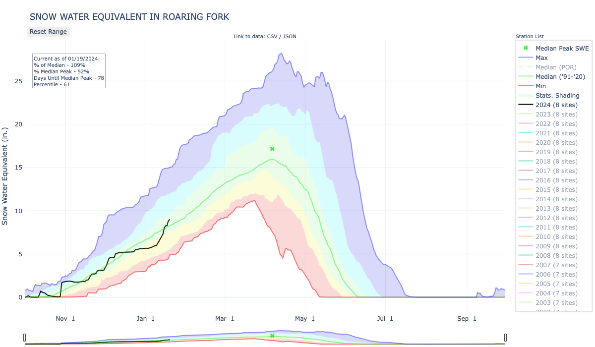
The Arkansas is being drained in new ways. Climate change and a record-breaking snow drought are intensifying the scarcity. Over the last half-century, growing Front Range cities have purchased water rights from farmers in the valley. Exchange agreements allow cities to swap these rights for ones farther upstream, leaving the downstream flow diminished and dirtier. Between 1978 and 2022, nearly 44% of the irrigated farmland in the Lower Arkansas Valley Water Conservancy District was taken out of production.

Critics call it “buy-and-dry.” They say the removal of water has disastrous consequences for an agricultural region. “If you take all of that water out of an economy that completely depends on it,” Goble said, “it just breaks a community.” Faced with the prospect of litigation from local water districts, cities like Aurora claim to be developing more sustainable arrangements.
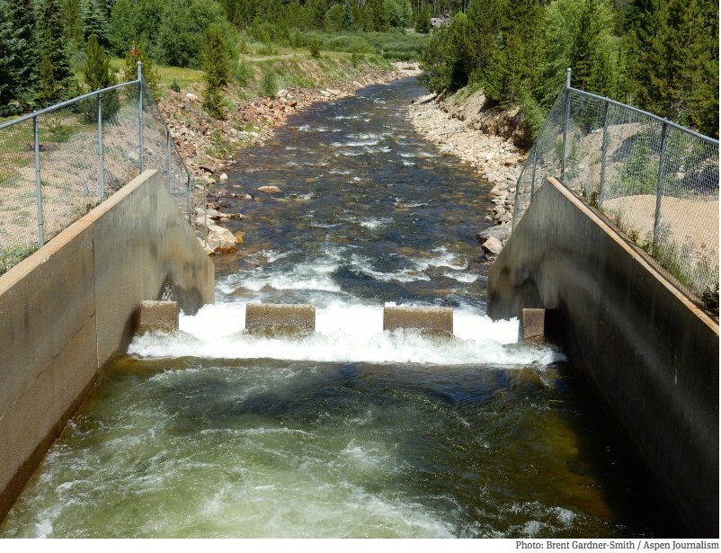
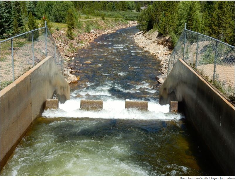
THE ARKANSAS’ WATER is changing, too. The river is diverted into dozens of canals and fields. What doesn’t evaporate or get absorbed returns as runoff or sinks through the alluvial gravels that connect to the riverbed. Each time a drop of water returns, it carries more dissolved minerals. As the river’s volume lessens, the concentration increases in what is left. By the time the river reaches the Kansas border, the water regularly contains 4,000 milligrams or more per liter — making it about eight times saltier than a typical sports drink and unsuitable for growing many crops.
Minerals are not the only problem. The river basin and alluvial gravels are also contaminated with radium and uranium. Last year, a study by the Colorado Geological Survey found that the levels of radioactivity in more than 60% of the private wells sampled in the valley exceeded federal standards.
The radionuclides are called “naturally occurring.” But natural uranium usually stays locked in rock. In the valley, irrigated agriculture sets it into motion. Uranium is mobilized by complex interactions between oxygen, sediments, water, microbes and nitrate. Nitrate is a common fertilizer. One study found that valley farmers had over-applied it for decades. This pulls out radionuclides, turns them loose, and flushes them into the river’s shallow aquifer. Levels rise as the river moves east through agricultural lands.
Contamination is not news in the valley. People have worked on cooperative solutions for decades. To meet safe water standards while the conduit is under construction, the towns of La Junta and Las Animas installed filtration systems. But cleaning the water creates hyper-contaminated wastewater, which is currently diluted and poured back into the river. “The only true solution,” said Bill Long, president of the Southeastern Colorado Water Conservancy District board, “is a new source.”
THE CONDUIT WOULD PROVIDE safe water to a region too often disregarded. But the project also raises questions about what can truly be bypassed and what cannot, and about the fate of the river itself.
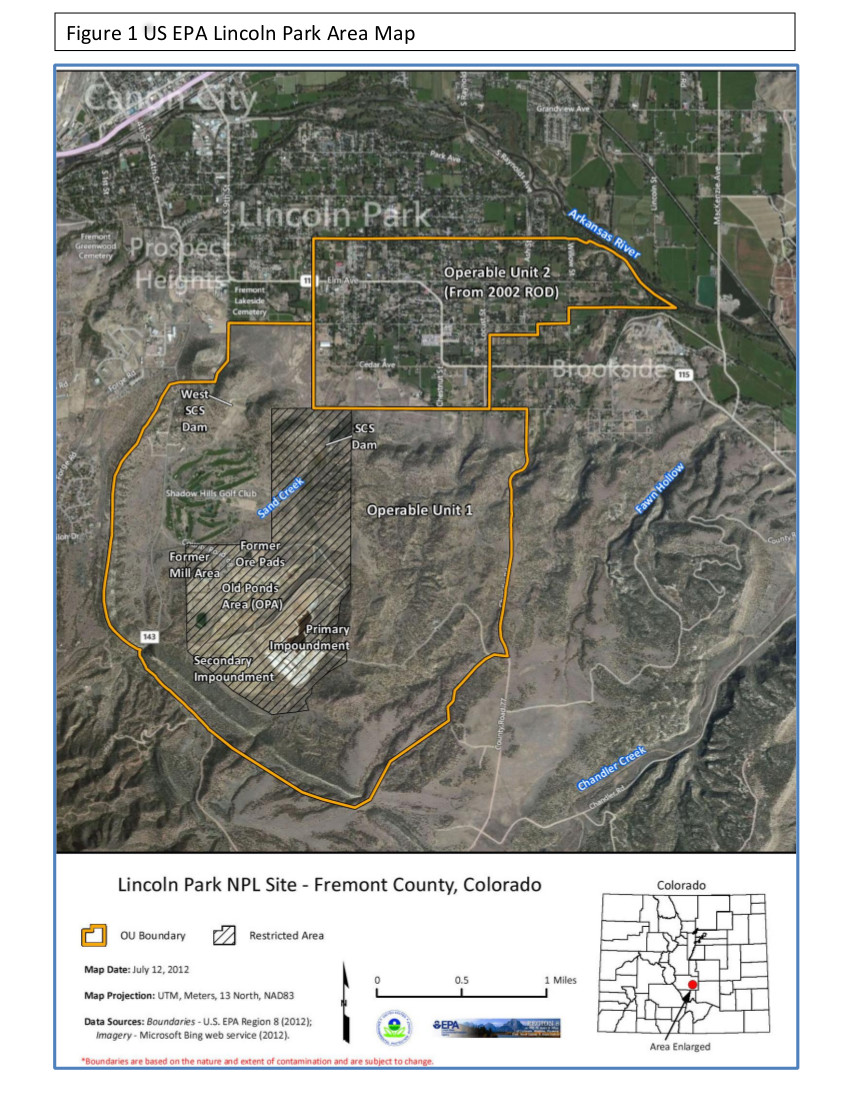
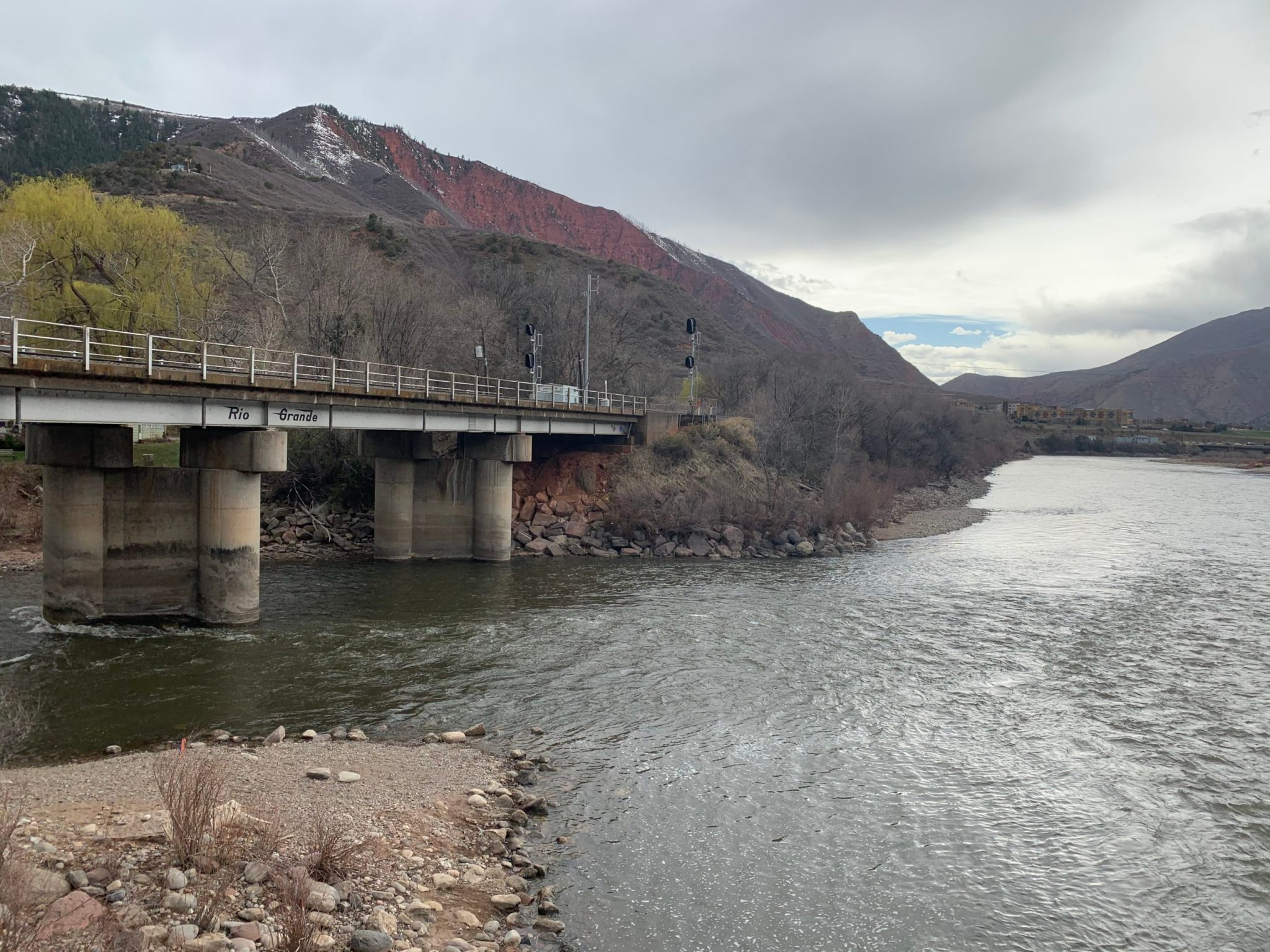
Near Cañon City, upstream from the conduit, the Lincoln Park/Cotter Superfund site contains a former uranium mill, millions of tons of radioactive waste, coal mineworks and tailing ponds. The site sits less than two miles from the Arkansas River. It is known to be contaminated with the same compounds — radionuclides, selenium, sulfates — that affect communities downstream.
Local residents have worked for decades to raise awareness and hold a revolving cast of agencies, regulators and owners accountable for the pollution. “It has taken us a lifetime,” said Jeri Fry, co-chair of Colorado Citizens Against Toxic Waste. “As the years have gone by, we have been the ones holding the memory.”
Without memory, they say, contamination is normalized as background, treated as an isolated issue, or denied. “We’ve been stonewalled on many of our legitimate concerns,” said Carol Dunn, vice-chairperson of the Lincoln Park/Cotter Community Advisory Group. She believes state regulators avoid testing for fear of uncovering inconvenient facts.
The most inconvenient would suggest connections between contamination in the valley and industrial pollution upstream, which affects not only Cañon City but the communities of Leadville, Pueblo and Fountain Creek. For Fry, all of the known and unknown pressures on the river point to the same fundamental problem. “We are not treating our water as though it is a sacred thing,” she said. “And it is. It’s got to be.”