Click the link to read the article on the Aspen Journalism website (Heather Sackett):
June 5, 2026
Federal officials announced on Thursday that they plan on using a shorter-term framework for future Colorado River management so they can be more responsive to changing conditions and reservoir levels.
Acting Commissioner of the U.S. Bureau of Reclamation Scott Cameron said at an annual conference on water policy that the agency will be using a 10-year framework, issuing new operational guidelines every two years. In the absence of a seven-state deal for sharing shortages and managing reservoirs, river management now falls to the federal government — an outcome nearly everyone had hoped to avoid.
“We would love to have a 20-year deal or a 30-year deal but, frankly, we haven’t even been able to get the seven states to agree on what a two-year deal would look like,” Cameron said. “Given the highly unusual hydrological situation in the basin … we think it makes sense to take a second look at decision making every couple of years.”
As part of the required process under the National Environmental Policy Act, Cameron said Reclamation will release a final Environmental Impact Statement with its “preferred alternative,” in mid-to-late summer. It will lay out a more detailed 10-year operations plan for the nation’s two largest reservoirs, Lake Powell and Lake Mead, and will include short-term operational guidelines for 2027 and 2028. He said the plan provides a stable, transparent and adaptable framework for river management.
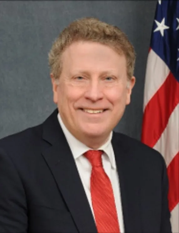
“We want to pay more attention to what’s actually happening in the river and what’s happening in terms of the elevation of the reservoirs,” Cameron said. “We want to manage conservatively during low inflow periods and hopefully be able to transition to recovery as conditions improve across the basin to keep the system stable and resilient.”
Cameron left the door open for a return to future management by the states and added that if they eventually come to an agreement, it could supplant the federal plan.
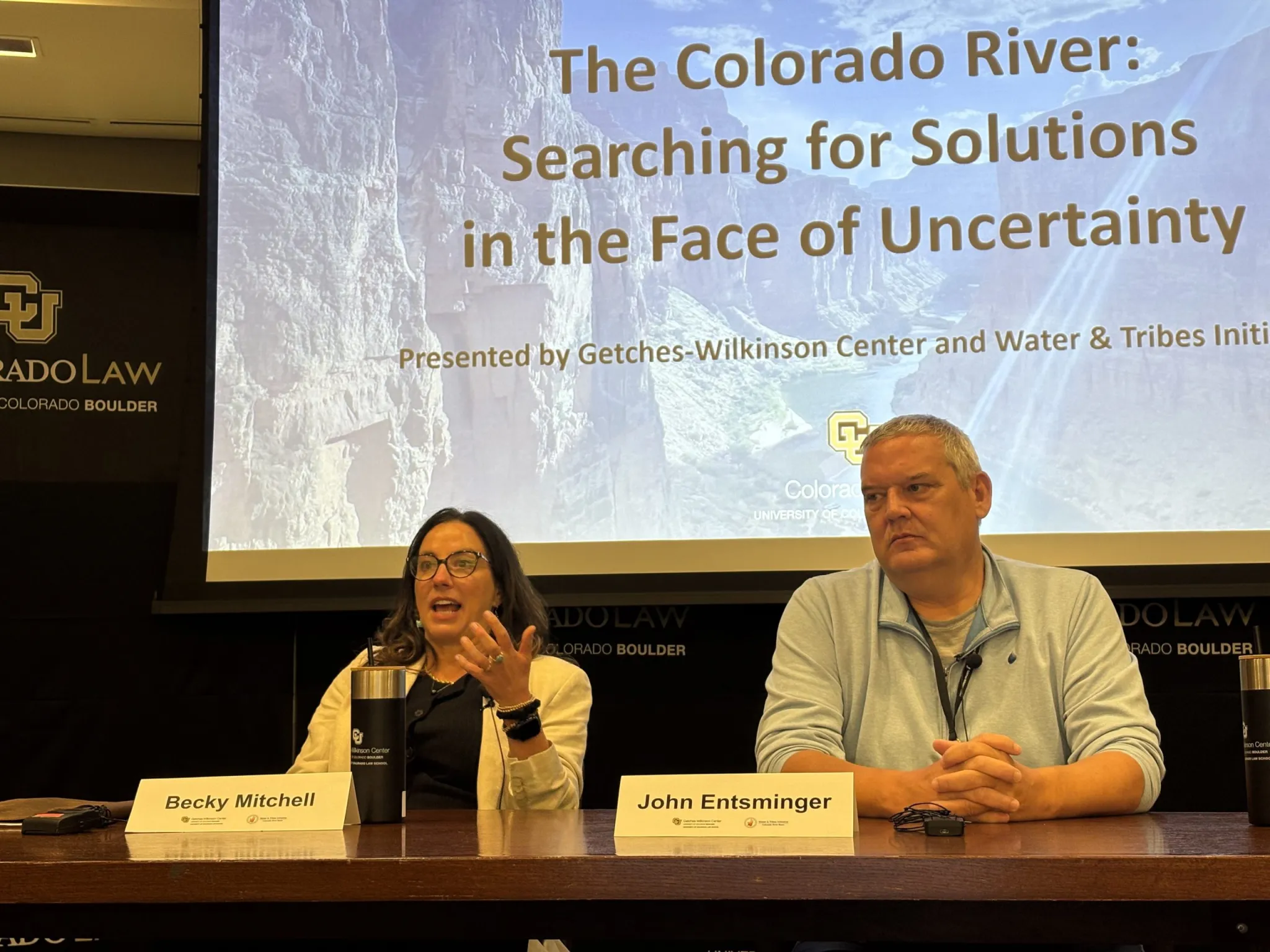
Cameron’s update came at the Colorado Law Conference on Natural Resources at the University of Colorado Boulder, hosted by the Getches-Wilkinson Center and the Water & Tribes Initiative. Water managers from around the basin gathered at the Wolf Law School in the midst of one of the worst droughts on record that threatens the water supply for about 40 million people in the American Southwest. Record hot temperatures and one of the worst snowpacks since measuring began resulted in streamflows that peaked much lower than normal and, in some reaches, a month early. Reclamation’s most recent projections put spring runoff into Lake Powell at just 800,000 acre-feet, which would be 13% percent of normal and the lowest on record.
On top of the abysmal hydrologic conditions, the basin is also in the midst of a management crisis. The Upper Basin states (Colorado, New Mexico, Utah and Wyoming) and Lower Basin states (California, Arizona and Nevada) after two years of negotiating have failed to reach a consensus on how they will share future cuts and have blown past deadlines to come up with a plan. The current guidelines, which have determined shortages and releases since 2007, expire at the end of the year. But for all intents and purposes, water managers need a new plan in place by the start of the new water year on Oct. 1.
Some of the problem still centers around the 1922 Colorado River Compact, which allocated half of the river’s flows (7.5 million acre-feet a year) to each basin. But this framework no longer applies under 21st century conditions, which has seen flows decline by 20% due to climate change. Despite indications a year ago that the states were moving to a supply-driven model based on each year’s snowpack and available water — rather than a fixed allocation of water — a new management framework the states can agree on has remained out of reach.
Beyond the band-aid
The feds’ operating plan for the first two years may be based on a proposal submitted by the Lower Basin states in early May, in which they propose to cut another 700,000 acre-feet of water per year through 2028, on top of the 1.5 million acre-feet they had already promised. California and Arizona will each take another 300,000 acre-feet of cuts and Nevada will take a cut of 100,000 acre-feet. The proposal does not include any mandatory conservation from the Upper Basin.
Federal officials responded in a May 28 letter with adjustments to make the proposal feasible, including the requirement that the Lower Basin states help pay for the 700,000 acre-feet of conservation. In the past, conservation programs have depended heavily on federal funding.
Becky Mitchell, who represents Colorado in the negotiations among the states, said during a Friday panel that the feds’ plan was a starting point but raises some concerns. Constantly renegotiating an operating plan every two years would be hard to fathom, she said.
“How do we fund and finance if we’re constantly renegotiating?” Mitchell said. “And how do we create the certainty that the 40 million people deserve?”
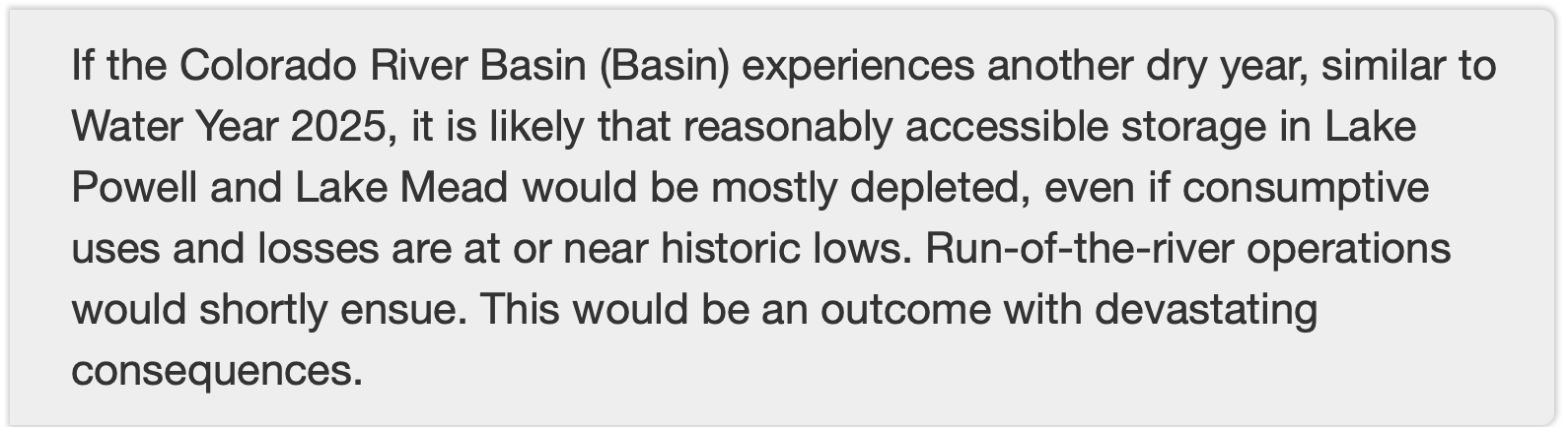
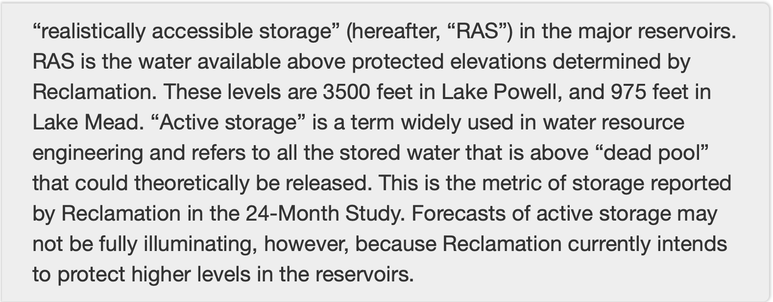
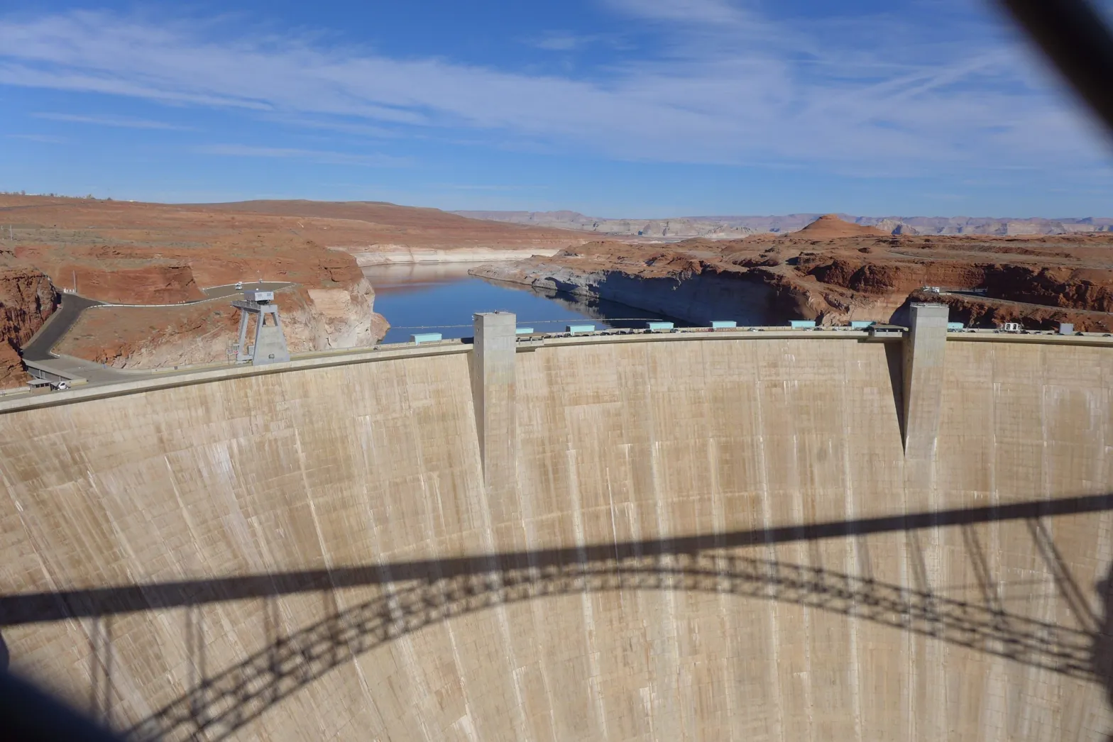
The feds have already stepped in this spring to prevent the worst consequences of the exceptionally dry winter and keep water levels at Lake Powell from falling below the threshold for making hydropower at Glen Canyon Dam. They are releasing up to 1 million acre-feet from Flaming Gorge Reservoir to prop up Powell and holding back Powell releases by about 1.5 million acre-feet. Cameron conceded, however, that these are temporary, stop-gap measures meant to address a critical situation.
“I think we succeeded in making everybody unhappy and everybody mad, which maybe means we’re doing the right thing in terms of Lake Powell,” Cameron said.
The Upper Basin states, including Colorado, are exploring ways to contribute water to a pool in Lake Powell as a means of maintaining higher water levels and an insurance policy against drastic cuts. But officials have not budged from their position that the Upper Basin is limited in what it can do and that cutting Lower Basin overuse is the primary solution to the Colorado River crisis.
Brad Udall, a water and climate scientist at Colorado State University whose presentation kicked off the conference, asked water managers not to waste this unique opportunity to redo 100 years of law and policy around how to manage a critical resource. And he directed a plea at the Upper Basin, saying that they, too, are part of the problem.
“We need everybody with a shoulder to this wheel,” Udall said. “We understand that the Upper Basin is different. We understand that they don’t have (large upstream) reservoirs and that every year people suffer. But we need you to help. Please help us.”