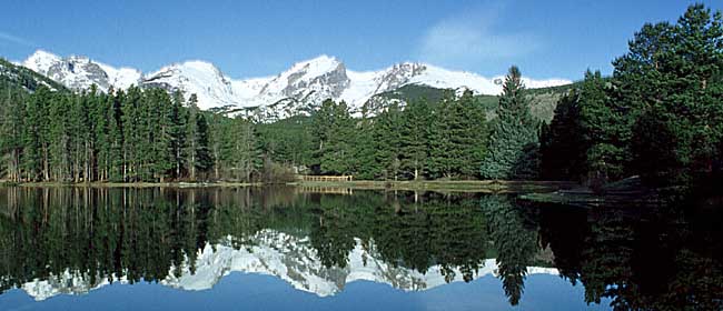
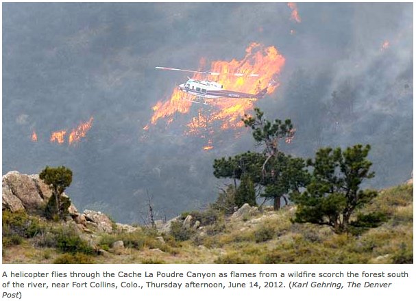
Scorched by the High Park Fire and washed out by the historic 2013 flood, Poudre Canyon’s once popular Young Gulch Trail remains closed to Northern Colorado hikers, mountain bikers and equestrians.
The one-two fire-flood punch has left scars that haven’t yet healed and outdoor lovers with fewer places to play, which has frustrated some recreational groups.
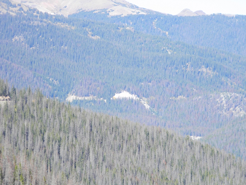
The natural disasters scoured away the first half-mile of the Young Gulch Trail, one of the most popular trails in the Poudre Canyon.
It is one of about 20 Northern Colorado recreation areas still closed nearly three years after the flood wiped out trails, roads and fishing access in Roosevelt National Forest, Rocky Mountain National Park and Big Thompson Canyon.
The damage is so severe, some areas may never reopen.
“I think people understand that this was a pretty dramatic change to our landscape,” U.S. Forest Service spokeswoman Reghan Cloudman said. “This is a long rebuilding process.”
Long and expensive.
While a $329,000 project has begun to rebuild Young Gulch Trail, the best case scenario is for the trail to reopen in late 2017. A more realistic goal is 2018.
The U.S. Forest Service estimates it will take $6.3 million to rebuild the recreation areas damaged on Roosevelt National Forest’s Canyon Lakes Ranger District west of Fort Collins.
The deluge caused approximately $10 million of damage in Rocky Mountain National Park, which bounced back from the flood and 2013 government shutdown to post back-to-back record visitation totals in 2014 and 2015. The park is on pace this year to beat its 2015 visitation record of 4.1 million visitors. But the park may take a massive hit to visitation this fall when repairs begin on flood-ravaged U.S. Highway 34 in Big Thompson Canyon, the gateway to the popular park.
As the U.S. Forest Service’s budget continues to dwindle, Canyon Lakes Ranger District must rely even more on Northern Colorado volunteers who last year dedicated more than 50,000 hours to trail projects. Only the Red Rocks District in Arizona received more volunteer hours in 2015.
“With the fire and then the flood, it’s definitely been a challenging time for us,” Cloudman said. “We’re adapting to how we do things. Cost-saving where we can, looking at creative ways to expand what we can do and move forward in the recovery efforts.”
One example: Working with partners like Wildland Restoration Volunteers and Great Outdoors Colorado, which helped secure funding for the Young Gulch Trail rebuild project through Colorado Parks and Wildlife’s State Trails Program.
With help from several volunteer organizations like Poudre Wilderness Volunteers, USFS has restored 63 percent of the 370 miles of flood-damaged roads on the Arapaho and Roosevelt National Forests and Pawnee National Grasslands, and 33 percent of the 157 miles of damaged trails, as of last year.
Fifteen campgrounds, day-use and river access facilities have been rebuilt, while 12 others have been decommissioned across the Canyon Lakes and Boulder ranger districts.
More than $100,000 and 10,000 hours have gone into reopening a portion of the North Fork Trail in Glen Haven. About as much money and work has been dedicated to the still-closed Lion Gulch Trail, which could open as early as September or as late as the summer of 2017, Cloudman said.
In Big Thompson Canyon, several fishing access areas were washed away and won’t be restored, including the North Fork and Glen Haven picnic sites and Idylwilde rest stop. Fishing access has been restored to Sleepy Hollow Park.
Cloudman said Canyon Lakes Ranger District hopes to offer more fishing access on the Big Thompson, one of Colorado’s premier fly-fishing destinations. Colorado Parks and Wildlife estimates the Big Thompson sees 2,559 angler days per month, totaling an annual economic impact of $2.37 million.
But the forest service’s plans to add more fishing access won’t be finalized until the Colorado Department of Transportation’s rebuild of U.S. 34 from Loveland to Estes Park is complete in 2018 or 2019.
Construction of the highway poses an economical and ecological impact to the Big Thompson’s fishing industry.
The first part of CDOT’s massive rebuilding project on U.S. 34 begins after July 4, with rock blasting in the horseshoe area of the canyon, near milepost 78.4.
The brunt of the work begins in October, after tourist season. Road crews will blast away the mountainside near the defunct Idylwilde Dam, a once-popular area for anglers. It remains to be seen if CDOT will completely close the highway for five months or enact temporary closures, allowing access during peak hours.
“If our guides don’t have access to the river, then obviously it’s going to affect business,” Christiansen said. “I don’t know exactly what’s going to happen, but it’s not like we have anything in our control.”
The same impact is happening on already popular hiking trails such as Greyrock and Hewlett Gulch, which are near Young Gulch Trail.
Cloudman said both trails have seen an uptick in visitors since the Young Gulch closure. In 2012, the trails averaged 44 and 33 people a day, respectively, with 70-80 visiting on the weekends.
But during last week’s Memorial Day weekend, more than 100 cars parked at Greyrock and along the shoulder of Colorado Highway 14 each day while passengers hiked the 7,513-foot peak.
Prior to its closure, Young Gulch averaged 37 daily visitors, with 75 on the weekends. Thanks to its close proximity to Fort Collins, the multiuse trail was popular with hikers, mountain bikers and equestrians.
But the 4.9-mile trail that meanders up Young Gulch and Prairie Gulch — crossing a stream about 20 times — was scoured by the flood, cutting 2- to 3-foot-deep ruts in the gulch and rerouting the stream channel.
The trail requires an extensive rebuild, essentially a move out of the floodplain.
“A monumental task,” Cloudman said.
In 2014, the forest service debated whether to even rebuild the trail. The agency held public meetings to gather feedback and developed an environmental analysis of the sustainability of the trail.
“It came down to, if we can find a good place and a good way to build a new, sustainable trail, then we absolutely will do it,” Cloudman said.
The new trail design will reduce the number of stream crossings by almost one third, move more of the trail out of the flood zone and provide a more sustainable route, Cloudman said. It will remain open to all users.
Working in a steep, constrained canyon won’t be easy for trail crews, which include Wildlands Restoration Volunteers, Overland Mountain Bike Club, Poudre Wilderness Volunteers and the Larimer County Conservation Corps.
Until the new trail is completed, hikers must endure the trail closure, marked by the closed gates, barricades and cones that have become a common site in the forest since flood and fire changed the landscape.


![Scott Hummer, general manager of North Poudre Irrigation Company, talks about how his agency worked with Fort Collins Natural Areas and Colorado Parks and Wildlife to include a fish passage when the irrigation company replaced a diversion structure on the Poudre River that was destroyed by the 2013 floods. Work was completed [in February 2016]. (Pamela Johnson / Loveland Reporter-Herald)](https://coyotegulch.blog/wp-content/uploads/2016/03/cachelapoudrefishpassage022016lovelandreporterheraldscotthummer.png)


