How do scientists at the U.S. Geological Survey “date” water?

A hand gently touches the surface of clear water, revealing smooth pebbles beneath and mossy stones around the edges.
Photograph of a crystal clear stream obtained from Storyblocks

by Robert Marcos

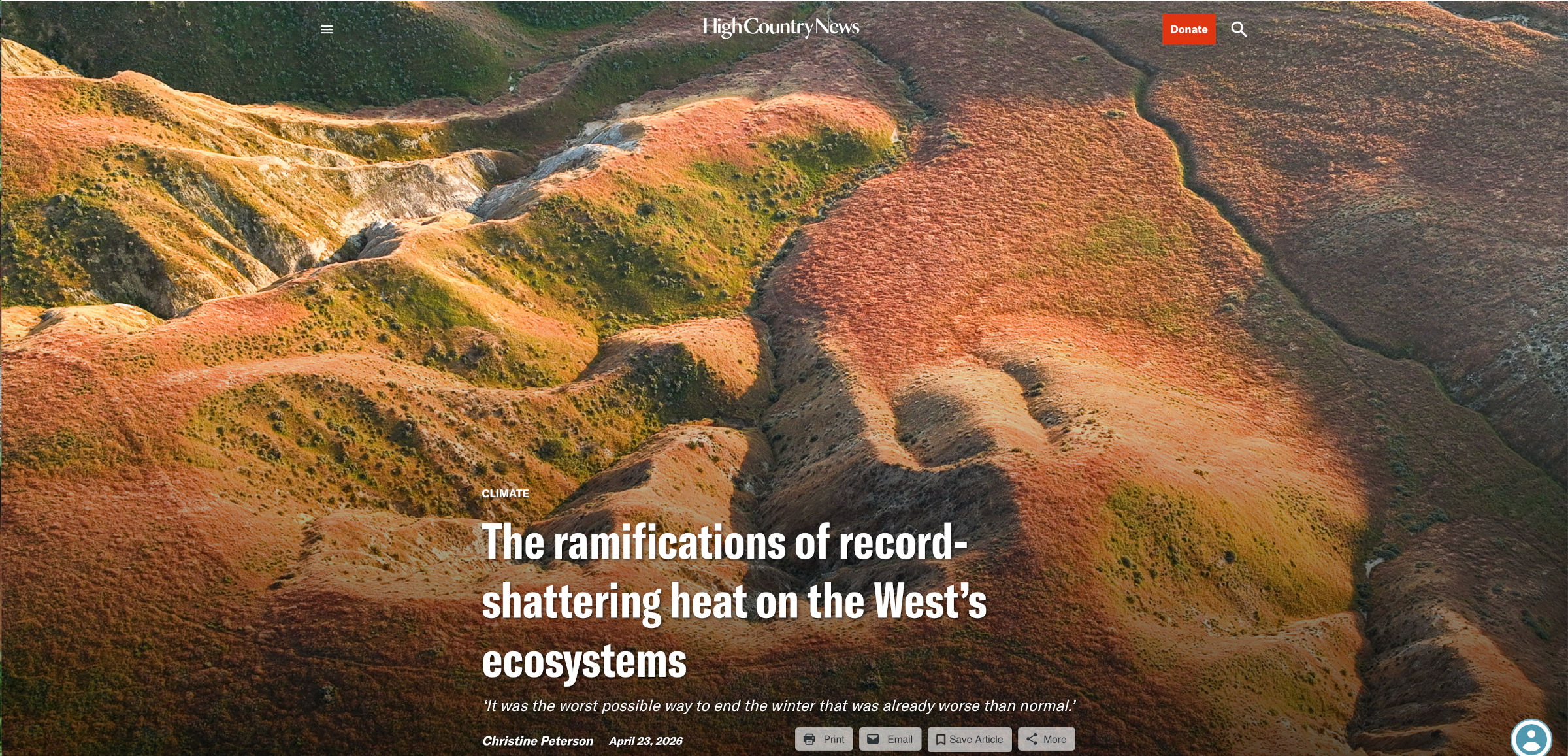
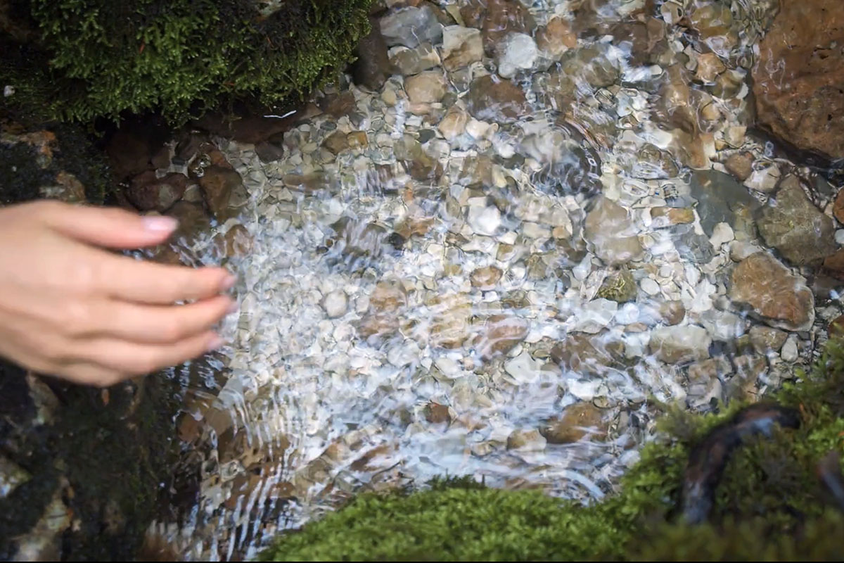
I was dumbfounded to hear a scientist with the U.S. Geological Survey say, “I wish we could date this water so we’d have a better idea where it came from”. We were standing alongside a tiny creek that led into Colorado’s White River, and the scientist was essentially wondering if the water in the stream came from rainfall, or had risen from a shallow aquifer. Generally rainfall would be “younger” and water from aquifers would be older – sometimes by many thousands of years. But how could anyone possibly determine the age of water?

Answer: by analyzing its chemical composition.

The USGS dates groundwater using chemical and isotopic tracers whose concentrations change in known ways over time in the atmosphere and then get preserved in recharging water. For young groundwater—typically less than about 50–70 years old—USGS commonly uses substances like chlorofluorocarbons (CFCs), sulfur hexafluoride (SF₆), and tritium and its decay product helium‑3. These are measured in specialized facilities such as the Reston Groundwater Dating Laboratory, which analyzes dissolved gases and transient tracers in samples from wells and springs. The key idea is that atmospheric histories of these tracers (for example, industrial production curves for CFCs or tritium from nuclear weapons testing in the 1950s–60s) provide a time stamp that can be matched to what is found in the water.1

One example is tritium-based age classification – where a single measurement of tritium is used to classify groundwater as “modern” (recharged in 1953 or later), “premodern” (before 1953), or a mixture of the two. The year 1953 roughly marks the onset of elevated tritium from atmospheric nuclear testing, making it a convenient boundary between older, background conditions and post‑bomb‑pulse recharge. By comparing measured tritium to location‑ and time‑specific thresholds, USGS can quickly determine whether a sample reflects recent recharge that may carry contemporary contaminants or older water that has been isolated from the modern surface for decades or longer.

For slightly older water—hundreds to tens of thousands of years—USGS uses longer‑lived isotopic tracers such as radiocarbon (carbon‑14) dissolved in inorganic carbon. Radiocarbon decays predictably over time, so its remaining fraction in groundwater indicates how long it has been since the water equilibrated with atmospheric carbon at the surface. At even greater ages, other isotopes and noble gases may be used to extend the window into tens of thousands of years or more. No single method is perfect; each tracer has limitations, such as contamination from local sources, mixing of waters of different ages, or chemical reactions that alter concentrations. As a result, USGS often applies multiple tracers together and interprets them with groundwater flow models to better constrain age and understand the distribution of ages in a well or discharge area.

USGS dates groundwater because age is fundamental for managing water resources and assessing vulnerability to pollution. Age indicates how quickly water moves through the subsurface, how long it will take for land‑use changes to affect wells and springs, and whether contaminants like nitrates, pesticides, or per‑ and polyfluoroalkyl substances (PFAS) reflect current practices or legacy inputs. By linking age to contaminant trends, managers can judge whether improvement efforts will show benefits in years, decades, or even longer. Age information also supports sustainable yield estimates, helps distinguish short‑term variability from long‑term change, and reveals dependencies on very old water that may take thousands of years to replenish.

The ramifications of record-shattering heat on the West’s ecosystems: ‘It was the worst possible way to end the winter that was already worse than normal.’ — Christine Peterson (High Country News)

A general view of hills at Carrizo Plain National Monument in Santa Margarita of San Luis Obispo County, California, United States on March 29, 2026. Photo by Tayfun Coskun/Anadolu via Getty Images

Click the link to read the article on the High Country News website (Christine Peterson):

April 23, 2026

In March, a month traditionally known for heavy mountain snows and dreary lower-elevation weather, a heat wave settled across the West, shattering temperature records from Tucson, Arizona, to Casper, Wyoming.

The heat wave’s intensity and early arrival shocked many climate scientists. “It is exceptionally difficult for the Earth system to produce temperatures this warm so early in the season,” wrote Daniel Swain, a climatologist with the University of California Agriculture and Natural Resources who runs the Weather West blog.

Yet not only did Western locations set new March highs; many exceeded temperature records for May. And those high temperatures kept hanging on, said Zachary Labe, a climate scientist at the nonprofit science center Climate Central, for nearly two weeks.

While heat waves are a natural phenomenon, this was the earliest and most widespread one ever recorded in the Southwest. And it was caused by climate change, which is making intense heat waves much more likely. Researchers say this means understanding their fallout is even more important.

Source: Climate Central. Map by Nick Underwood/High Country News

Scientists are just now beginning to understand the ramifications of a devastating 2021 heat wave, when a massive heat dome brought 120-degree temperatures to the Pacific Northwest, causing widespread ecological damage. Tens of thousands of trees died. Baby birds that could not yet fly plummeted to the ground as they tried to escape the heat. Salmon and trout suffocated in small streams. Millions — perhaps even billions — of mussels and barnacles cooked.

This year’s heat wave may not have had the same immediate ecological impacts, but it comes on the heels of an already record-breaking hot, dry winter. Researchers say 2021 holds lessons about what lies ahead for both vulnerable and resilient species. Ecosystems, they warn, are likely to permanently change as some species simply can’t handle the heat.

FULLY UNDERSTANDING the impact that events like heat waves have on long-lived tree species takes time. Research is now trickling out from places like Washington, Oregon and British Columbia, and it’s not good.

The 2021 heat wave either killed or otherwise harmed more than three-quarters of species surveyed, including by limiting their reproductive success, according to Julia Baum, a professor at University of Victoria who co-wrote a recent paper on the long-term impacts. The hardest hit, perhaps unsurprisingly, were those unable to move to seek shade or cooler temperatures. Marine species like acorn barnacles and green rope seaweed fared the worst, as did kelp, surfgrass and rockweed.

“The rocky shorelines they live on heated up to (122 Fahrenheit). Think of being glued to hot concrete on the most scorching summer day: They essentially baked and died,” said Baum. “On land, wildflowers wilted and died, preventing entire populations from reproducing that year, and there was widespread leaf scorch and death in forests.”

Some species that could move modified their behavior: Ferruginous hawks reduced their flight time by about 81%, while wolves moved around more, perhaps seeking hunkered-down prey like mule deer and moose.

Meanwhile, species already adapted to hotter or more variable temperature ranges adjusted better than others.

The heat wave’s timing also mattered, said Adam Sibley, a remote sensing scientist and co-author of a 2025 paper that examined the impact on trees and forests. Plants tend to acclimate to heat throughout a season, so the triple-digit temperatures that struck in June hit harder than they would have in August.

Example of heat damage to the new growth on Douglas-fir. Credit: Dave Shaw/Oregon State University

So many tree needles died, in fact, that when Sibley drove to the Oregon coast with friends a few days after the heat wave ended, the tree canopy looked as though it had been dusted with orange snow.

New buds and needles are fragile for a number of reasons, said Christopher Still, a forest ecology professor at Oregon State University. Many contain fatty membranes that, when super-heated, will melt and cause the leaf to fall apart. Young leaves and needles also lack “heat hardening” mechanisms like specialized proteins that stabilize mature leaves and needles when it’s hot.

Many larger, more well-established trees, such as Douglas fir, lost a growing season: Their needles fell off, but grew back the following year. Other trees died, especially younger ones and species like Sitka spruce and western red cedar that require cooler, wetter temperatures.

The 2021 heat wave also rapidly dried grasses, flowers and other fine fuels, leading to record-breaking wildfires in the Pacific Northwest, according to a 2024 paper in the journal Nature.

WHILE THE TIMING of this year’s heat wave surprised many climatologists, the fact that it arrived in March may have ultimately saved some Southwestern plants, said Osvaldo Sala, a professor and director of Arizona State University’s Global Drylands Center.

During the hottest period, he explained, many plants were still dormant. Desert plants tie their growing cycles to rain and moisture instead of heat or sun duration. That means that, unlike in places like Wyoming, where cherry trees started blooming in March instead of May, desert plants were still waiting for rains to come.

Unfortunately, that early blooming has left the cherry trees and other flowering plants particularly susceptible to spring frosts, Still said.

The effects of this year’s heat dome have only exacerbated the winter’s record-setting heat and drought, Still added. Snowpack across much of the West was abysmal; in many places, it was the worst in recorded history.  

“The heat dome put an exclamation point on the worst winter in a century,” said Still. “It was the worst possible way to end the winter that was already worse than normal.”

#Arizona hires high-powered law firm, setting the stage for a legal battle over #ColoradoRiver water — Caitlin Sievers (AZMirror.com) #COriver #aridification

May 1, 2026 seasonal water supply forecast summary.

Click the link to read the article on the Arizona Mirror website (Caitlin Sievers):

March 23, 2026

Arizona is preparing for a legal battle over its rights to Colorado River water.

Following an extraordinarily dry winter along the river basin and what’s expected to be an exceptionally hot and dry spring across the West, where high temperatures in March have already blown past records, the pressure to maintain access to the state’s fair share of river water is growing. 

The Colorado River is a vital source of drinking water for 40 million people in the seven basin states, Mexico and 30 Native American tribes, and provides water for farming operations and hydroelectricity. 

Reaching a water usage agreement is imperative to the basin states as the river’s water supply continues to decline, as it has done for the past 25 years due to a persistent drought spurred on by climate change. 

On Monday, the Arizona Governor’s Office announced that it had retained the law firm Sullivan & Cromwell to represent the state in possible litigation among the Colorado River Basin states and the federal government. 

Sullivan & Cromwell is an international firm based in New York City that has represented big names like Microsoft, BP, Goldman Sachs and JPMorgan Chase. The state is using some of the $3 million it put into its Colorado River legal defense fund last year to retain the law firm.

The Governor’s Office doesn’t expect to take any legal action until June at the earliest, but wants to be prepared for the possibility, especially if the dispute ends up before the U.S. Supreme Court. 

The Lower Basin states — Arizona, Nevada and California — and the Upper Basin states — Colorado, New Mexico, Utah, and Wyoming — have been negotiating an updated water usage agreement for more than two years.

But so far the states have blown past two deadlines to do so — one in November and one in February — and are quickly approaching October, when the existing usage agreement expires. 

If the states can’t reach an agreement before that, the federal government will implement one of its draft plans, all of which would place an outsized burden on the Grand Canyon State.

That’s because the Central Arizona Project, a series of canals that supplies Colorado River water to the Valley and the Tucson area, is one of the newest users of the river water, making it legally one of the first to be cut. 

But so far, the Upper Basin states have refused to agree to any federally mandated water usage cuts of their own. While the Lower Basin states insist that every state take their fair share, Upper Basin states have argued that they’ve never used their full allotment and already face regular cuts and shortages based on physical availability of water.

Arizona has offered to reduce its Colorado River allocation by 27%, California by 10%, and Nevada by nearly 17%. 

Negotiators for Arizona also insist that the Upper Basin states be held to the original 1922 Colorado River Compact that requires them to release a 10-year rolling average of at least 75 million acre-feet of water to the Lower Basin, in addition to one-half of the annual allotment owed to Mexico, for a total of about 80.2 million acre-feet. 

An acre-foot of water represents enough to cover an acre of land to a depth of one foot, or about 325,851 gallons. That’s enough to provide three homes in Arizona a year of water, on average.

So far, the Upper Basin states have held to the original release agreement. But as water levels in the two major reservoirs on the river, Lake Mead and Lake Powell, continue to decline, it’s expected that the Upper Basin states will be unable to meet that requirement as early as 2027. 

When the states entered into the original Colorado River Compact in 1922, they allocated 7.5 million acre-feet of water each year to be shared by the Upper Basin states and another 7.5 million to be used among the Lower Basin states. 

Since then, the states have updated their water usage guidelines several times, even though the apportionments remain the same. But Lower Basin states face cuts mandated by the federal government during times of drought and Upper Basin states do not. In 2025, for the fifth year in a row, the federal government imposed drought-based cuts, and Arizona’s amounted to a loss of 512,000 acre-feet of water for the year. 

Under current allocations, Arizona has rights to 2.8 million acre feet of water per year, and has implemented 800,000 acre feet in reductions per year. In contrast, Colorado has rights to 3.8 million acre feet a year, although it uses an average of 1.9 million acre feet, annually. 

However, Colorado doesn’t always get that full allotment, because it relies mostly on melted snowpack for its water, which varies from year to year. This year’s snowpack levels are historically low, forcing water providers in the Upper Basin to place restrictions on usage based on availability and state law. 

Upper Basin states argue that they regularly deal with annual shortages based on physical availability and the state laws that govern how the Upper Basin water is shared, with average annual shortages of about 1.3 million acre feet. 

The Lower Basin states have undertaken significant conservation efforts for Colorado River water since 2014 and have reduced their consumption from 7.4 million acre-feet in 2015 to just over 6 million in 2024.

The Upper Basin states have increased their usage in the past five years, from 3.9 million acre-feet in 2021 to 4.4 million in 2024. The federal government’s draft plans allow for the Upper Basin states to use even more water.

Gov. Katie Hobbs’s proposed budget for this year would put another $1 million toward the Colorado River Legal Defense fund, and lawmakers earlier this month gave preliminary approval to doing just that.

Even as Arizona prepares for a legal battle, the state plans to continue attempting to reach an agreement with the other river basin states, according to the Governor’s Office. 

“Governor Hobbs is committed to working with the federal government and other Colorado River states to deliver a negotiated settlement that protects Arizona’s fair share of water and stabilizes the system,” spokesman for Hobbs Christian Slater said. “However, it’s critical that Arizona be prepared to defend ourselves in court if an agreement cannot be reached or the Law of the River is violated.”

Map of the Colorado River drainage basin, created using USGS data. By Shannon1 Creative Commons Attribution-Share Alike 4.0

Could a massive pipeline from the East solve #Arizona’s water woes? — AZCentral.com

This proposed pipeline divert water from the Atchafalaya River in Louisiana through Louisiana, Texas, New Mexico, Arizona and up to the Glen Canyon Dam. Credit: Don Siefkes

Click the link to read the article on the AZCentral website (Joan Meiners). Here’s an excerpt:

May 3, 2026

Key Points

  • The idea of building a pipeline to move water from eastern states to the dry West is frequently proposed to solve water shortages.
  • Experts argue a cross-country pipeline is technically feasible but prohibitively expensive, legally complex and environmentally risky.
  • Many officials and environmentalists believe more practical solutions involve local conservation, water storage and regional management.

…Kyle Roerink, executive director of the Great Basin Water Network, an organization that works to promote water conservation in the West and has opposed several water pipeline projects, says that “exporting water from the Mississippi Delta will never be a sensible or reasonable solution.” His list of explanations include the “astronomical cost” stemming from eminent domain, permitting, construction, energy management and staffing fees, and the intractability of managing healthful water quality over such vast distances with so many pollution inputs…The southeastern states may also not be as eager to get rid of their water as Arizonans might assume. Coastal erosion due to climate-worsened hurricanes, drilling and other factors mean the Mississippi Delta needs all the sediment transported downstream by its major rivers. The Mississippi’s flows play a role, too, in diluting agricultural chemicals causing hypoxic dead zones in the Gulf as the region navigates its own experiences with unpredictable drought. On top of these broad limitations — which entities across the aisle including the Goldwater Institute, a conservative policy think tank, have deemed “cost prohibitive” as well as practically and environmentally infeasible — there are complex legal water rights obstacles that likely run deeper than the Trump administration’s ability to override.

“The issue of water rights management would be a Byzantine nightmare for such a large scale project,” Roerink told The Republic. “The Mississippi isn’t adjudicated under one set of laws. It is governed under many doctrines in many states. Just as in the West, eastern states have differing state laws governing water allocations in their respective jurisdictions. There are mixes of riparian and appropriation doctrines governing use. The legal framework leads me to believe that the only thing this pipeline would be good for are lawyers who practice in the U.S. Supreme Court.”

[…]

None of this has stopped Arizona leaders, as reader Lisa Nelson asked about, from formally considering cross-country water pipeline proposals. In 2021, the Arizona Legislature voted to appropriate $160 million into a fund to consider importing water from as far as the Mississippi River. In late 2024, Chuck Podolak, director of the Water Infrastructure Finance Authority of Arizona told KUNC’s Alex Hager that the idea still deserves “serious attention.”

Western Slope water providers concerned as river depth drops below 3 feet in some areas — KJCT #ColoradoRiver #COriver #aridification

Click the link to read the article on the KJCT website (Robbie Patla). Here’s an excerpt:

May 5, 2026

GRAND JUNCTION, Colo. (KJCT) — The Colorado River is flowing at record-low depths, raising concerns for water providers and consumers across the Western Slope. According to the National Oceanic and Atmospheric Administration (NOAA), the Colorado River below the Grand Valley Diversion near Palisade reached a maximum depth of 9.91 feet in June 2024. As of 12:00 a.m. May 4, the peak depth was recorded at 2.92 feet, flowing at 240 cubic feet per second. Mesa County is in an exceptional drought, according to the Drought Response Information Project (DRIP). Exceptional drought is the most severe category, where shortages of water could create water emergencies. Ty Jones, district manager of Clifton Water District, said the river is flowing at less than a fourth of what it was in 2025. He said the region is in uncharted territory…

“We’re seeing things never seen before, in all the records that we’ve kept in the last 100 plus years,” Jones said. “I mean, we’ve not seen that here in the valley.”

He believes they’ve already seen high flows in the river back in March, when it usually happens in June. The city of Clifton primarily gets its water from the Colorado River, either pumped directly from the stream or fed through Grand Valley Irrigation. If the irrigation system runs out of water, Jones said residents may turn to treated drinking water for their lawns, which could put constraints on treatment plants.

“Our treatment plants can’t handle that demand if everybody starts wanting to water their lawns with our water,” he said.

In the #ColoradoRiver Basin, water year 2026 will go down in history…while also deepening the present crisis — Jeff Lukas (via LinkedIn.com) #COriver #aridification

Graphic credit: Jeff Lukas

Click the link to read the post in Jeff’s LinkedIn feed:

May 6, 2026

In the Colorado River Basin, water year 2026 will go down in history…while also deepening the present crisis and casting a harsh light on the challenges of the future.

After yet another much drier- and warmer-than-normal month, NOAA CBRFC’s latest (May 1st) official 50% exceedance forecast for Lake Powell April-July inflows slid down to 800 KAF–an are-you-kidding-me 13% of average.

On my spaghetti plot for the past 36 years of Powell forecasted and observed inflows, the 2026 ‘most-probable’ forecast is now below the record-low volume in 2002 (963 KAF). It’s also below the April 1st 2026 70% exceedance forecast (950 KAF) that I said last month we should entertain as a more likely outcome, given the propensity and outlook for dry weather this spring.

If there’s any shine to put on this absolute turd of a water year, it’s that thanks to the extreme rain event in mid-October focused on the San Juan basin, and the early snowmelt, Lake Powell got 2200 KAF of inflow between October 1st and April 1st. That’s below normal, but not nearly as far below as the April-July flow will be.

And in the month of April, Powell got 366 KAF of inflow, which sets the absolute floor for the total April-July inflow volume–that is, the May 1st 50% forecast of 800 KAF includes that April inflow of 366 KAF. (As of May 5th, the observed inflow since April 1st is up to 403 KAF.)

So 2026 will end up as a very “front-loaded” water year, with most of the flow occurring outside of the April-July peak-runoff period, which typically accounts for ~80% of the water-year total. But even with that boost from the October storms, 2026 will end up rivaling, if not exceeding, 1977 and 2002 as the driest-ever water year.

Here’s the NOAA CBRFC Powell inflows forecast page and 2026 forecast evolution plot: https://lnkd.in/gCquGDEW

Udall/Overpeck 4-panel Figure Colorado River temperature/precipitation/natural flows with trend. Lake Mead and Lake Powell storage. Updated through Water Year 2025. Note the tiny points on the annual data so that you can flyspeck the individual years. Credit: Brad Udall

Feds will front big bucks to conserve #ColoradoRiver water, says #Arizona water chief Tom Buschatzke — Tucson.com #COriver #aridification

From left, J.B. Hamby, chair of the Colorado River Board of California, Tom Buschatzke, Arizona Department of Water Resources; Becky Mitchell, Colorado representative to the Upper Colorado River Commission. Hamby and Buschatzke acknowledged during this panel at the Colorado River Water Users Association annual conference that the lower basin must own the structural deficit, something the upper basin has been pushing for for years. CREDIT: TOM YULSMAN/WATER DESK, UNIVERSITY OF COLORADO, BOULDER

Click the link to read the article on the Tucson.com website (Tony Davis). Here’s an excerpt:

May 5, 2026

The federal government has agreed to pump more than $450 million into programs to carry out additional Colorado River water conservation, Arizona Department of Water Resources chief Tom Buschatzke said Monday. The spending is necessary to make the new proposal from Arizona, Nevada and California work, Buschatzke and other water officials said Friday in releasing their offer to save 700,000 to 1 million acre-feet of river water through 2028. A million acre-feet is the equivalent of approximately 10 years’ worth of Colorado River deliveries to Tucson Water. The U.S. Interior Department proposed that the money be spent, and the U.S. Office of Management and Budget, which must sign off on all federal expenditures, approved it, Buschatze said at a news briefing Monday afternoon on the new plan from the three Lower Colorado River Basin states…J.B. Hamby, California’s Colorado River commissioner, said later Monday that what Buschatzke said is also his understanding of the federal government’s position. The federal funding offer would require the Lower Basin states to engage in a cost-sharing effort to contribute money to the water-saving scheme, Buschatzke said.