Click the link to read the releas on the Colorado River District website (Lindsay DeFrates):
On Saturday, June 6, the Colorado River District, in partnership with the Colorado Water Conservation Board, began to release water from Wolford Reservoir as part of a collaborative effort to protect hundreds of water users who depend on the Colorado River from being curtailed due to exceptional drought conditions.
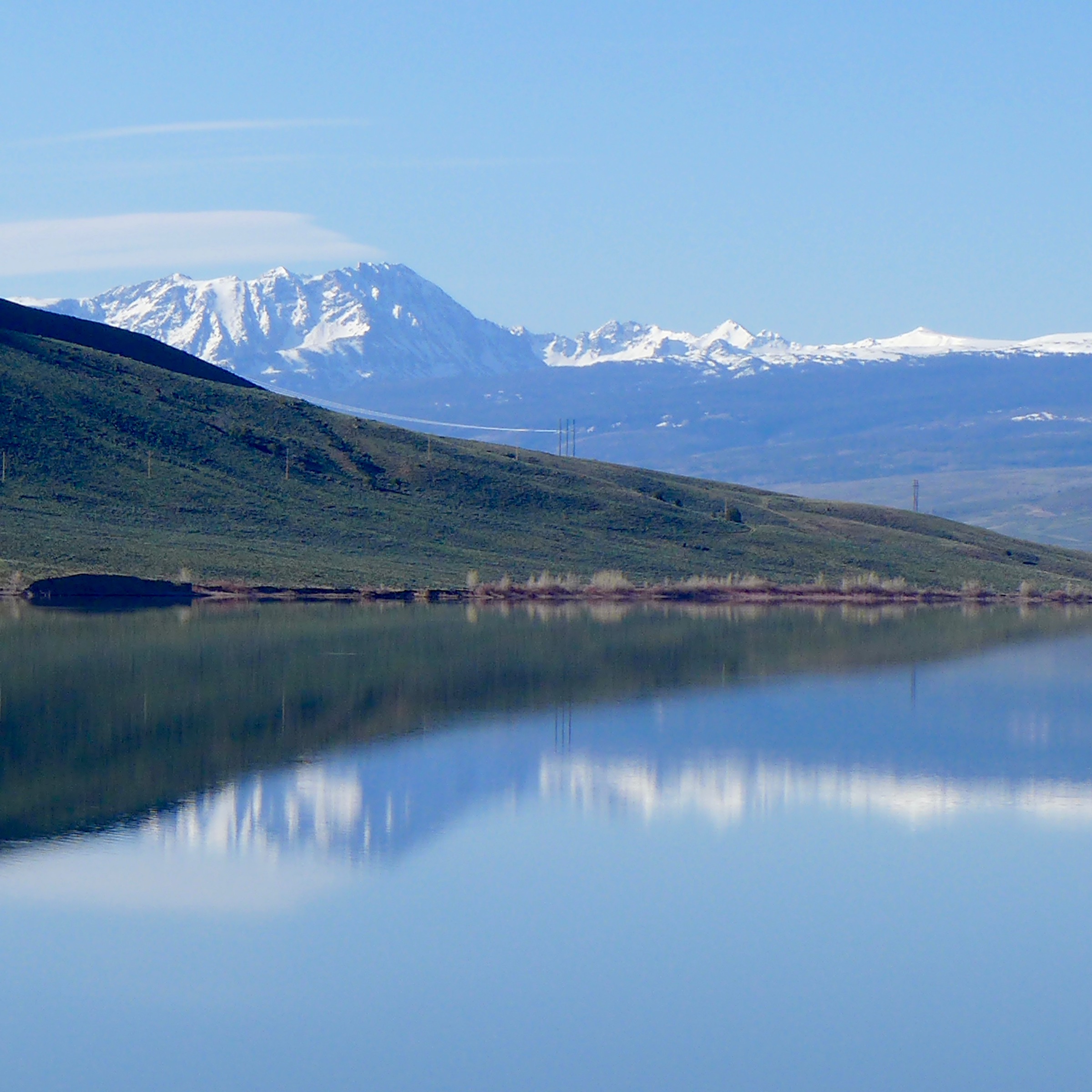
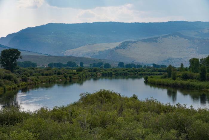
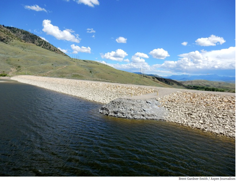
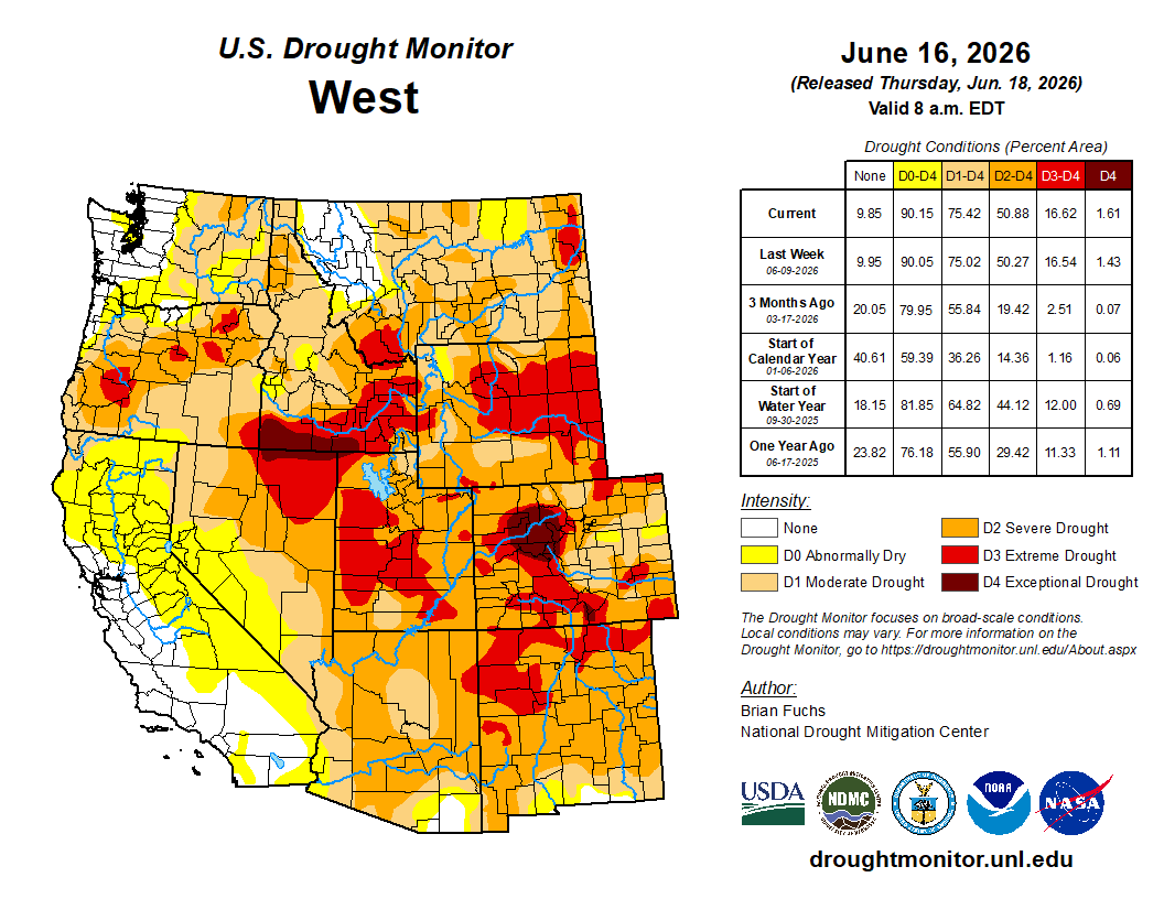
Extremely low snowpack and a warm winter, along with extreme heat in March, prevented the full storage of a critical water supply known as the Historic Users Pool (HUP) which is held in Green Mountain Reservoir (GMR), just north of Silverthorne. Without the protection provided by this supply, hundreds of entities, including towns, HOA’s, and local water districts could have faced curtailment in early June.
The success of this initiative depended on the cooperation of Grand Valley water users, who agreed to temporarily reduce the senior Cameo demand below its full legal limit so these protections could be implemented for other Colorado River water users. By voluntarily curtailing a portion of their own irrigation use, these districts helped keep upstream users whole and delayed a senior call on the river that would have otherwise required the curtailment of HUP beneficiaries.
“Irrigation entities across the Grand Valley chose to reduce water use early in the summer to help build the storage we rely on that was sorely lacking (almost non-existent) due to the warm and dry winter conditions that left us with very little snowpack,” said Roblee Talbott, president of the Orchard Mesa Irrigation District Board of Directors. “What we gained in storage will help carry us further into the season than originally anticipated. Beyond that, we’ve committed to work together to ensure we can finish crops later in the season. While this decision represents some very real risks for the family farms and ranches that sustain our local economy and food supply, it also reflects the strong spirit of collaboration in our Grand Valley agricultural irrigation community.”
“This year has reminded us how connected Western Slope communities truly are,” said Siri Roman, General Manager of the Eagle River Water and Sanitation District. “We are grateful to the Grand Valley water users who voluntarily reduced irrigation to help support upstream communities during these challenging conditions. As drought impacts become more prevalent, we all have a responsibility to use water wisely and support the long-term health of our communities, agriculture, and rivers. In the Eagle River Valley, we are actively working to reduce our outdoor water use and encouraging our customers to make lasting landscaping changes that will decrease water demand for years to come.”
“Having access to this program has been extremely important for our community in western Grand County, and we are grateful for the willingness of the Colorado River District and their partners to work with us,” said Brenda Kellen, board member for the Blue Valley Metropolitan District. “Without this support, we would have struggled to have access to adequate water supplies for our residents this summer. We recognize the challenges involved in managing and protecting water resources, and we appreciate the cooperation and partnership with CRWCD and water users from Grand County to Grand Junction.”
“The drought conditions affecting Colorado this year are creating immense challenges across the state,” said Lauren Ris, Director of the Colorado Water Conservation Board. “The CWCB was pleased to support this effort that demonstrates how partners can work together to develop creative, collaborative solutions that help address immediate drought impacts while providing multiple benefits for water users and the environment. As conditions continue to evolve, we remain committed to working with communities throughout Colorado to explore innovative approaches that strengthen drought resilience and help meet critical water needs.”
“Our duty is to help protect West Slope water users during exceptionally difficult conditions like the ones they are facing this year, and we have been navigating a complex and rapidly changing situation to determine how a limited supply of water can do the most good for the most people,” said Colorado River District General Manager Andy Mueller. “These releases are designed to help a broad array of water users, but they are not a substitute for ongoing conservation. We expect that beneficiaries will do their part by reducing demand where possible, including cutting outdoor domestic watering to one day per week.”
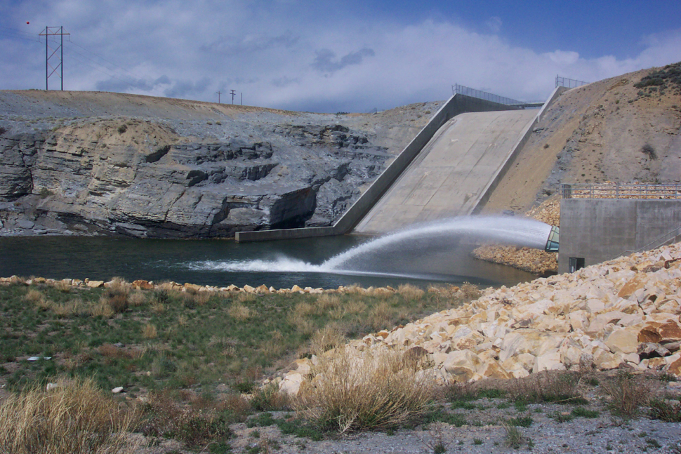
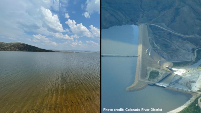
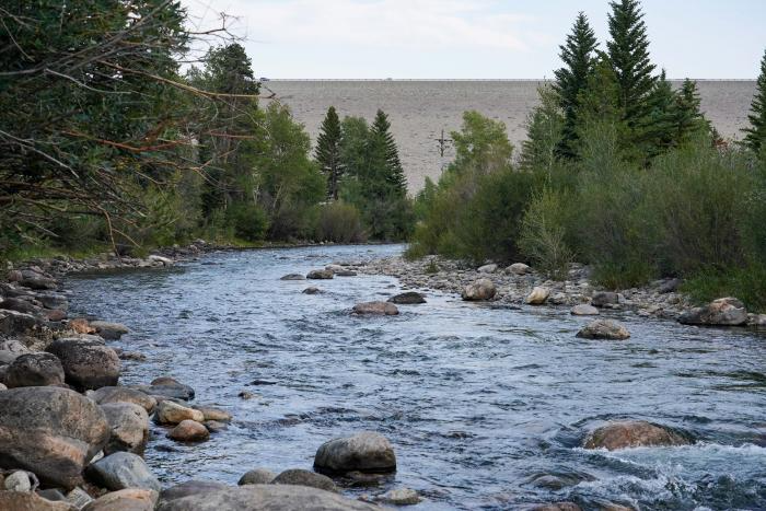
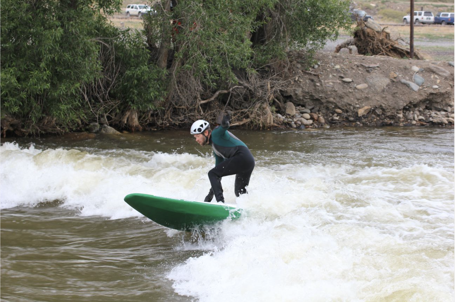
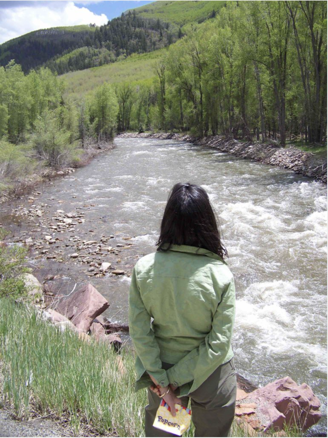
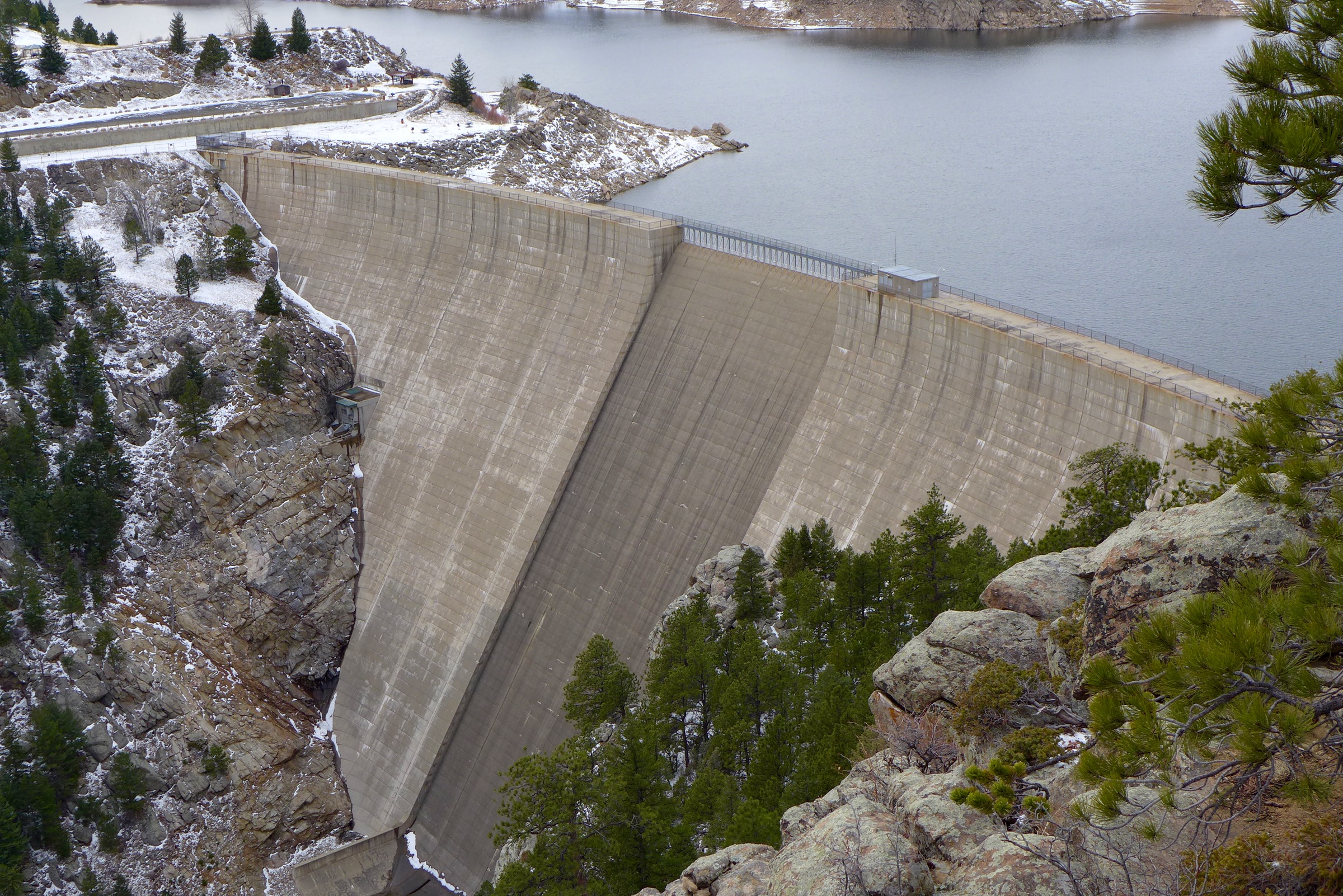
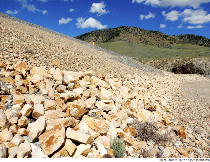
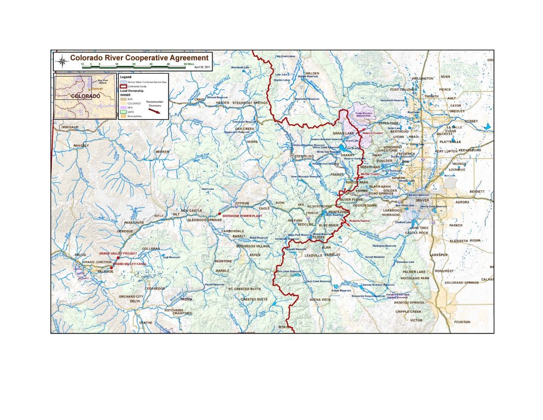
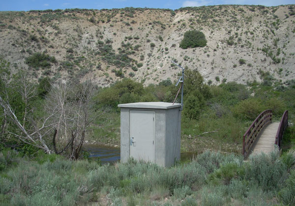
At its April 2026 meeting, the Colorado River District Board of Directors approved $450,000 from the Community Funding Partnership program for use in emergency drought response efforts. The Colorado Water Conservation Board also committed just over $585,000 to the effort at its May meeting in recognition that the releases will be multi-beneficial, supporting in-stream flow benefits, along with municipal, domestic, and irrigation needs. These funds will support the release of over 15,000 acre-feet of water currently stored in Wolford and Ruedi Reservoirs to protect both municipal and agricultural users along the Colorado River and its major tributaries from Grand County to the Grand Valley. These releases will also support in-stream flow needs providing fishery benefits that mitigate high water temperatures and the loss of aquatic habitat due to critically dry conditions.
As of June 17, the HUP was a little more than half full with approximately 40,800 acre-feet of water stored.
The initial release from Wolford Reservoir, which began on June 6, is currently around 9 cfs, and is intended to specifically protect the indoor water uses in Summit, Grand and Eagle counties. Between now and next spring, approximately 3,000 acre-feet of water is available for this purpose from both Wolford and Ruedi Reservoirs.
An additional 12,000-acre-feet of water will also be made available for irrigation and agricultural production in the Grand Valley throughout the summer until supplies run out.
The Colorado River District appreciates the support of the leadership and staff of the Division 5 engineer’s office in the implementation of this effort, as well as the work of the Colorado Water Conservation Board staff and directors to expedite funding, a temporary loan for instream flow use, and emergency substitute water supply plan approval.