Desert Deluge: The threat of a Super El Niño

A desert landscape featuring tall cacti under a cloudy sky, with mountains in the background.
Saguaro cactus in Southern Arizona. Image provided by Storyblocks.

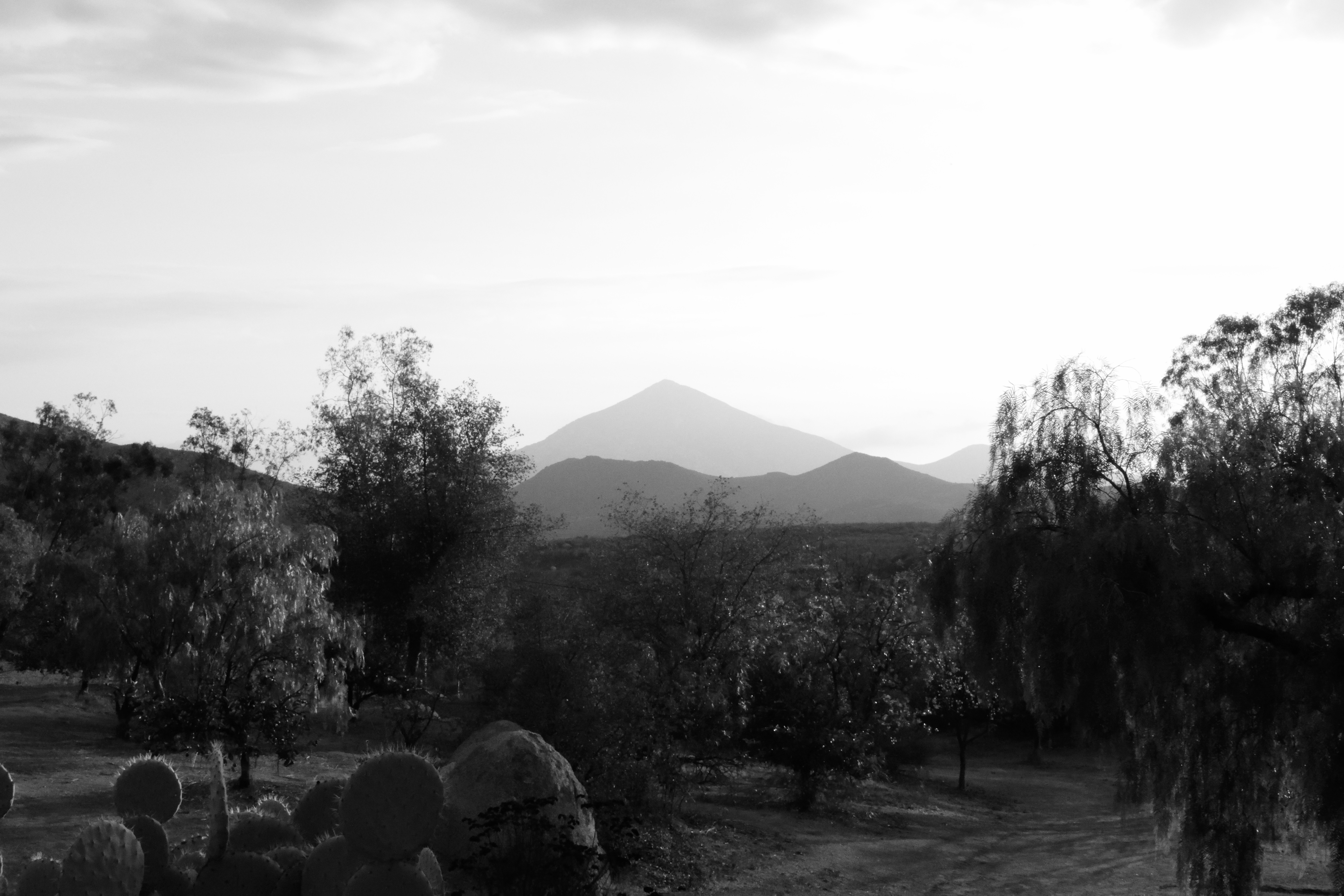
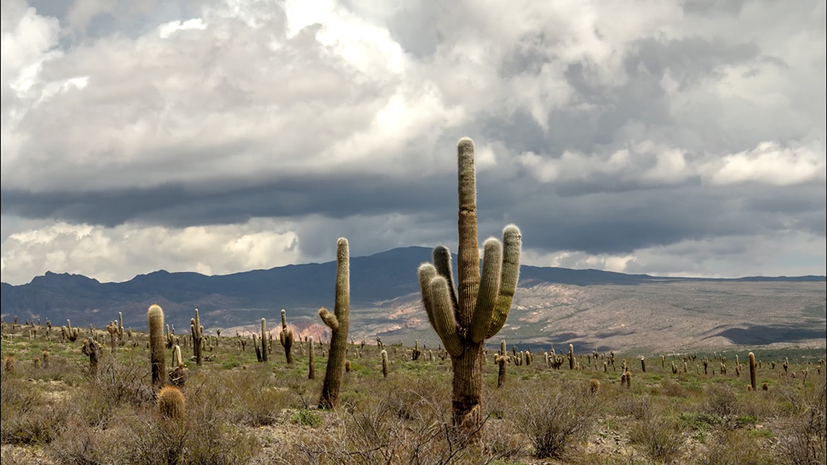
The forecasted “Super El Niño” is expected to delay the start of Southern Arizona’s monsoonal season but by August it could trigger heavier, more intense rainfall, severe flash flooding, and unusually high humidity during its peak. While El Niño historically weakens global monsoons, its impact on the Desert Southwest creates unique atmospheric shifts for the June 15 to September 30 season.1 Climate experts from the National Weather Service and the University of Arizona predict the season will unfold across three distinct phases: 2

A DELAYED AND DRIER ONSET

Early in the summer, El Niño’s atmospheric patterns alter the subtropical jet stream, creating persistent westerly winds across the Southwest.

Moisture Suppression: These westerlies act as a wall, driving out early moisture from the south and delaying the typical shift to monsoonal wind patterns.

Increased Fire Risk: A slower, drier start to the monsoon prolongs the summer dry spell, elevating the risk of wildfire ignition from dry lightning storms.

HIGH-INTENSITY PEAK (August into September)

Tropical Cyclone Activity: The incredibly warm ocean temperatures of a Super El Niño fuel severe hurricane activity off the Pacific coast of Mexico.

Tropical Moisture Pumps: While the hurricanes themselves rarely hit Southern Arizona directly, they act as massive atmospheric pumps, steering heavy tropical moisture straight into the Desert Southwest.

Rain Bombs and Flooding: As this extra moisture collides with the desert heat, it increases the likelihood of high-intensity storms, widespread flash flooding, severe dust storms, and heavy rainfall that could reach up to 150% of normal averages in some areas.

A SHIFT TO MOIST HEAT (after September)

High Humidity: Southern Arizona is famous for its dry heat, but the influx of Pacific moisture will cause humidity levels to skyrocket.

Stubbornly High Temperatures: Even with localized cloud cover and rain mitigating the most extreme temperature spikes, daily highs will remain brutally hot—frequently ranging between 100°F and 115°F. The added moisture will result in a heavy, oppressive “moist heat” rather than a dry one.

President Trump’s border wall is ‘blowing up’ sacred sites in 4 US states — AZCentral.com

Video and photos of fish-shaped intaglio (geoglyph) damaged by border wall construction contractors at Cabeza Prieta National Wildlife Refuge. Footage taken from Mexico. Credit Russ McSpadden / Center for Biological Diversity

Click the link to read the article on the AZCentral website (Debra Utacia Krol). Here’s an excerpt:

June 7, 2026

Key Points

  • Border wall construction is damaging or threatening sacred Indigenous, cultural, and environmentally sensitive sites in four states along the U.S.-Mexico border.
  • The Department of Homeland Security has waived environmental and historic protection laws to expedite construction of a two-layered structure.
  • Sites affected include a 1,000-year-old O’odham geoglyph in Arizona and Kuuchamaa, a sacred mountain to Kumeyaay tribes in California.

The recent destruction of a 1,000-year-old sacred O’odham geoglyph in the Cabeza Prieta National Wildlife Refuge is only the latest example of damage and desecration to religious, cultural and environmentally sensitive sites caused by construction of the border wall along the U.S.-Mexico border. At least one Catholic shrine, two mountains held sacred by Kumeyaay bands in California and Catholics on the New Mexico-Texas state line, and wetlands prized as life-giving water sources for wildlife and humans have all suffered damage or are in the work zone. The Las Playas Intaglio holds great cultural and historical importance to O’odham and other Indigenous peoples in the Southwest. The intaglio, or geoglyph, was created by scraping the top darker layer of earth from the desert floor, resulting in a 200-foot-long rendition of a fish with its nose pointing south. Some tribes say it served as a directional marker along a trail that led to the Gulf of California and its marine resources, including salt deposits…

The Department of Homeland Security is filling in the gaps in the border wall not completed during President Donald Trump’s first term. The agency is also building a second wall parallel to the first in areas deemed to be at higher risk of smuggling and human trafficking. The Trump administration has moved to waive environmental and historic protection laws and regulations in its rush to build the walls. In April 2025, the Department of Homeland Security issued waivers to expedite construction in Arizona and New Mexico, based on a 2005 law that gave the agency the authority to waive laws to expedite barriers and roads at the U.S. border…The agency has also ignored directives such as sites being included in the National Register of Historic Places, the United States’ official list of historic and archaeological resources deemed worthy of protection…

Tecate Peak as seen from Potrero, CA. By UncleMunkle – Own work, CC BY-SA 3.0, https://commons.wikimedia.org/w/index.php?curid=51110281

Members of the 16 Kumeyaay tribal communities in Southern California and Baja California sounded alarms when the government began blasting chunks off Kuuchamaa, also known as Mount Cuchuma or Tecate Peak. The 3,885-foot-high mountain straddles the U.S.-Mexico border and is about 4 miles west of Tecate, Baja California. Kumeyaay people consider Kuuchamaa their most sacred mountain. According to the Kumeyaay Diegueño Land Conservancy, a nonprofit founded in 2005 to protect areas important to the Kumeyaay peoples, the peak is the namesake of a powerful Kuseyaay, or religious leader…Like other cultural and sacred places, the government has waived environmental laws and disregarded Kuuchamaa’s listing in the National Register of Historic Places. The 1992 listing, which Bergueno said was led by her elders, was the first-ever Native religious site to be listed…

Quitobaquito Springs was heavily damaged as the first border wall was built in 2020. At least two endangered species, the Sonoyta pupfish and Sonoyta mud turtles, are endemic to the springs and found nowhere else on the planet. Their survival was on the line as construction crews pumped water and damaged wetlands. The spring is also a lifeline for other wildlife in one of the hottest, driest parts of the Sonoran Desert. Biologists and environmentalists are already mapping strategies to rescue Sonoyta mud turtles from the pond should CBP damage it again. A small population of the Sonoyta pupfish was brought to a new desert stream habitat at Biosphere 2 in October 2025 to provide a backup to the critically endangered species.

Quitobaquito Pond. By NPS – National Park Service, Public Domain, https://commons.wikimedia.org/w/index.php?curid=91942483

Once underwater, #ColoradoRiver canyon country reemerges as drought-stricken #LakePowell’s levels drop — The #Denver Post #COriver #aridification

Underwater until recently, a biodiverse ecosystem has quickly re-established in this particular side-canyon of Glen Canyon. Along with a whole host of plant life, I’ve documented crayfish, otters, beavers, deer, coyotes and tracks of mountain lions and bobcats throughout Glen Canyon’s wet tributaries. Photo credit: Elliot Ross/Glen Canyon Institute (GlenCanyon.org)

Click the link to read the article on The Denver Post website (Elise Schmelzer). Here’s an excerpt:

June 7, 2026

The tops of trees, dead since Lake Powell’s levels rose decades ago, poked through mud and ooze at the silent mouth of Davis Gulch, where the side canyon met the reservoir’s still waters. But just around a few bends in the sandstone walls, life began to appear. First, a fuzz of inch-tall greenery. Then, knee-high cattails and primrose, followed shortly by small cottonwoods and willows, then by towering gambel oaks. The silence of the canyon mouth was replaced by the soft rush of a creek, bird songs, and the constant cacophony of dragonflies and gnats. Scattered throughout the canyon, an ecologist, bug scientists, birders and advocates for Glen Canyon were working to document the ecosystems emerging as Lake Powell’s water levels have dropped after decades of drought and water overuse.

“Hiking the side canyons is like going through ecological time travel,” said Eric Balken, the executive director of the Glen Canyon Institute, a nonprofit dedicated to restoring the canyons inundated by Lake Powell, as he hiked up Davis Gulch…

The falling water levels have also steadily revealed long-submerged canyonlands: red slot canyons, sandstone amphitheaters, waterfalls that tumble over slickrock cliffs. The reemerging landscapes provide a new opportunity to study life in Glen Canyon, which sits just upstream of the iconic Grand Canyon. Little scientific work was completed in Glen Canyon before the federal government flooded it — an event seen by environmentalists then, and now, as an unmitigated ecological disaster, a paradise lost…But for a new generation of advocates, regaining paradise seems possible as the reservoir’s shorelines recede, bringing more than 100,000 acres of rugged terrain out of the water. The Glen Canyon Institute and canyon activists for years have argued that Lake Powell should be drained and the Colorado River allowed to again flow freely through Glen Canyon. Now, their argument is also bolstered by the fact that Lake Powell is emptying — whether Colorado River managers like it or not. For those advocates, recent years have provided a rare chance to study life in the emerging canyonlands and to make their case to basin leaders who are contemplating the long-term future of Colorado River management…

A map of Glen Canyon National Recreation Area produced by the U.S. National Park Service. The map shows the shoreline of Lake Powell as it was when it was full — the water level is now more than 170 feet lower. Click image to enlarge map. (National Park Service via Wikimedia Commons)