by Jonathan Thompson, High Country News
June 25, 2026
This is an installment of the Landline, a monthly newsletter from High Country News about land, water, wildlife, climate and conservation in the Western United States. Sign up to get it in your inbox.
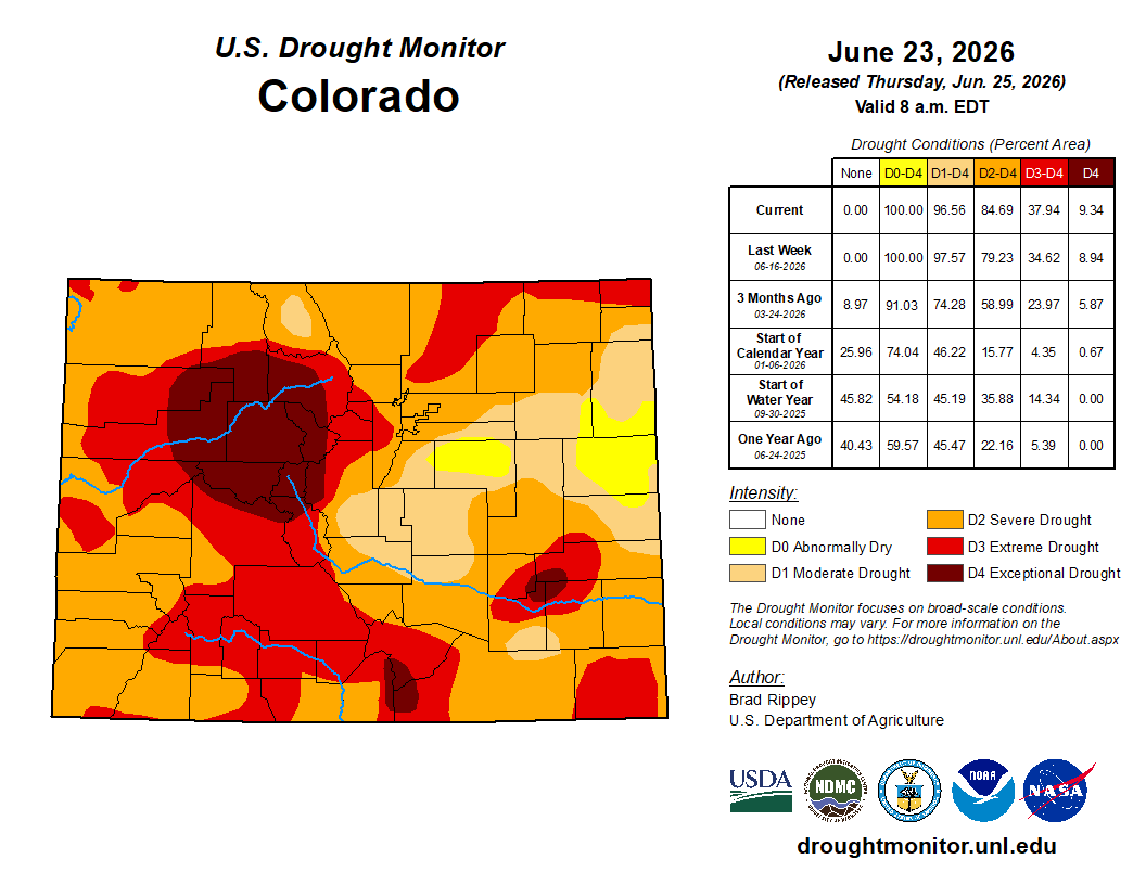
In early June, as blazes raced across the drought-baked and heat-addled Western U.S., Wyoming Republican Sen. John Barrasso’s Wildfire Prevention Act seemed to be sailing toward easy approval. If signed into law, it would direct federal land agencies to increase thinning and prescribed burning on public lands and make it easier for utilities to manage vegetation near power lines.
These tactics have often raised questions: Does a forest need to be “managed,” for example? Are high-intensity wildfires really so bad for forests? And is the urge to “thin” forests simply another excuse for logging? The bill’s provision directing agencies to step up public-land grazing as a wildfire mitigation tool is especially questionable.
Nevertheless, the legislation was cruising along with the support of prominent Western Democrats and no serious objections from environmental groups.
Or so it was, until Republican Sen. Mike Lee of Utah slipped in a last-minute amendment that would eliminate the 2001 Roadless Area Conservation Rule, which protects some 45 million acres of U.S. Forest Service land from new roadbuilding and logging. It would also prevent any similar rule from being implemented in the future.
Lee’s amendment shattered the coalition that supported the legislation and fired up opposition to that provision, and, by extension, the bill as a whole. “We had a very bipartisan-focused wildfire bill here, and now we have a very partisan bill,” said a “disappointed” Sen. Martin Heinrich, D-N.M., in a Senate committee hearing. “The wildfire legislation became a Trojan Horse for repealing the Roadless Rule.”
When the Bill Clinton administration first implemented the Roadless Rule in 2001, it marked the culmination of a multidecade effort to identify and set aside forest lands undisturbed by roads for possible wilderness designation. At the time, individual Forest Service offices managed the inventory of roadless areas. The Roadless Rule put prohibited timber harvesting, road construction and road reconstruction in designated roadless areas nationwide, though with a number of exceptions. Aside from preserving many relatively undisturbed areas, the rule saved a lot of money: By 2001, the Forest Service’s existing road network was over 386,000 miles long, with an estimated $8.4 billion in deferred maintenance and reconstruction. Building more roads would just exacerbate that deficit.
The Roadless Rule originally applied to almost 60 million acres, but in the years following its implementation, it was volleyed about by presidential administrations and the courts. In 2005, the George W. Bush White House revoked the rule and replaced it with the alternate roadless rule, which allowed states to petition the Forest Service to create their own standards; Colorado and Idaho chose to do so. When the 10th Circuit Court later reinstated the 2001 rule, the 2005 replacement was nullified, although Idaho and Colorado’s rules remained in effect. As a result, neither Lee’s amendment, nor the administration’s move to rescind the rule, would affect Colorado and Idaho’s plans.
While inventoried roadless areas share many of the same characteristics as wilderness areas, the Roadless Rule stops far short of wilderness-level protections, expressly allowing motorized uses of existing roads, off-highway motorized use in specified areas, livestock grazing and energy and mineral development.
All of which makes it hard to take Lee seriously when he argues that his amendment belongs in wildfire legislation because the Roadless Rule is hampering firefighting and wildfire prevention. In fact, the rule clearly allows for road-building to fight fires. It also allows for cutting, removing and selling “generally small diameter timber” for various reasons, including “reducing the likelihood of uncharacteristic wildfire.”
In a hearing, Sen. Alex Padilla, D-Calif., pointed out that 240,000 acres of inventoried roadless areas in his state alone had already been treated for wildfire hazard mitigation. Meanwhile, the Trump administration, for better or worse, has lagged on forest thinning: A Center for Western Priorities analysis found the Forest Service treated 35% less acreage in 2025 than it did under Joe Biden in 2024. That suggests that vegetation management is being hampered less by regulations than by a lack of resources: The Trump administration has focused its thinning efforts on Forest Service staffing and budgets instead, slashing them considerably since taking office.
In fact, it seems that the Roadless Rule actually helps deter wildfires. A 2007 Pacific Biodiversity Institute study found that 88% of the nation’s wildfires are started by humans, and 95% of those blazes occur within a half-mile of a road. Roads act like syringes, injecting human beings and their detritus— errant cigarette butts, untended campfires, sparks from machinery and hot catalytic converters — farther into the backcountry than they would go by trail. If Lee wants to avoid future blazes, he’d be better off codifying the Roadless Rule’s protections into law.
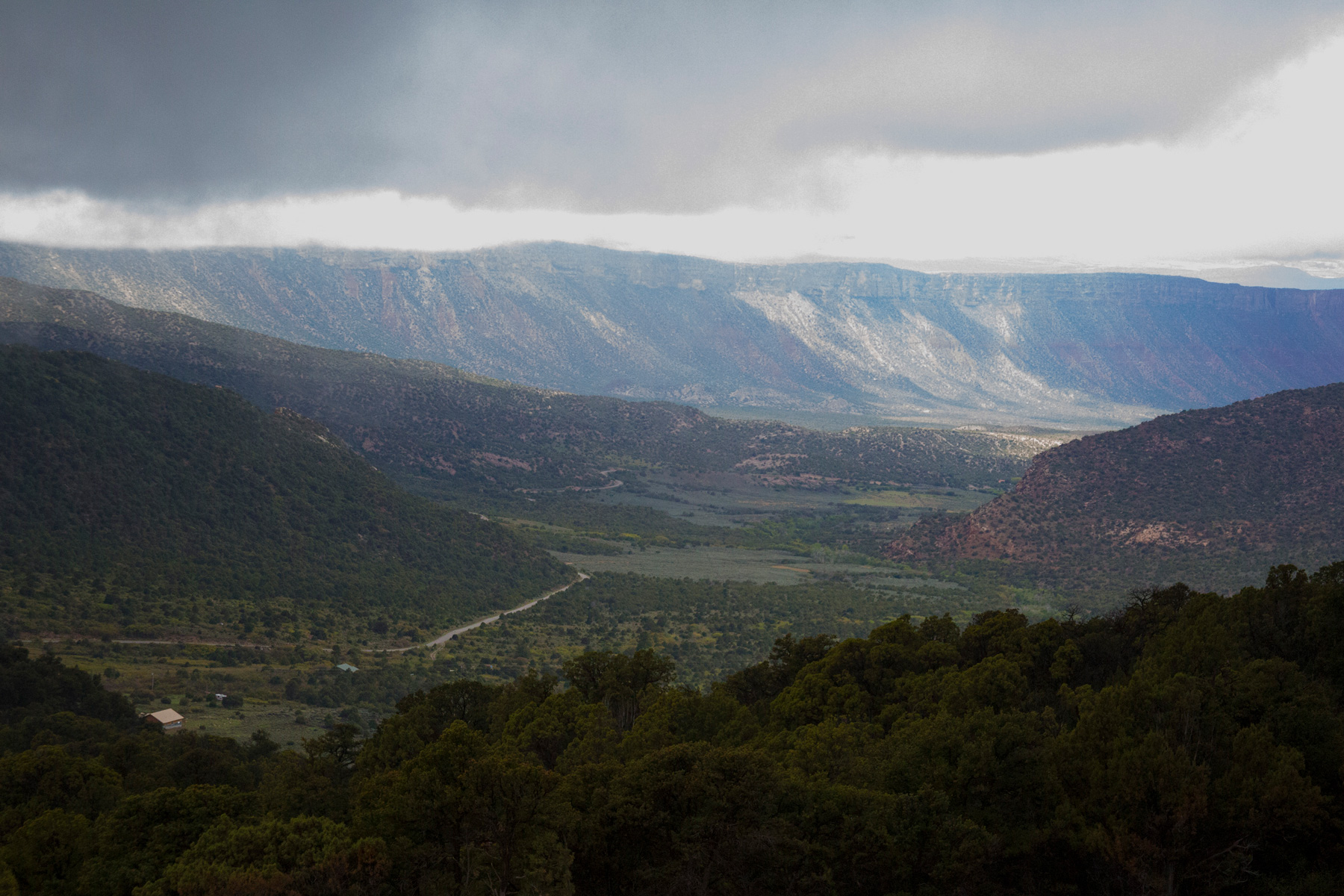
U.S. Forest Service
But as is often the case with Lee, this appears to be yet another Trump-backed assault on public lands that was back-burnered due to its deep unpopularity. Last June, U.S. Agriculture Secretary Brooke Rollins moved to repeal the Roadless Rule administratively, causing intense backlash not only from environmentalists, but also from the more conservative-leaning hook-and-bullet crowd as well as the general public, which barraged the department with comments supporting the rule. It’s worth noting that even Project 2025, the ultra-right-wing “blueprint” for the Trump administration, called for repealing only the portion of the Roadless Rule that pertained to Alaska’s Tongass National Forest.
“We had a very bipartisan-focused wildfire bill here, and now we have a very partisan bill.”
Lee may have chosen to or been assigned to shoulder these despised schemes because of his relative political invulnerability. His extremism shields him from opposition during primaries, and these days a Democrat is extremely unlikely to win statewide office in Utah.
But some of Lee’s colleagues may not be so impervious. Rep. Harriet Hageman, a Wyoming Republican who has introduced a House bill to nullify the Roadless Rule, is currently running to replace Sen. Cynthia Lummis, R-Wyo., who is retiring.
One of Hageman’s opponents is Sam Mead, however, a fifth-generation Wyoming rancher and nephew of former Gov. Matt Mead. Mead has strong conservative credentials on gun rights, energy development and fiscal issues, but he distinguishes himself from his GOP rivals by advocating for protecting public lands and keeping them in public hands. At a recent campaign stop, he said Hageman’s support of Mike Lee’s failed bid last year to sell public lands for housing left him with a “sense of helplessness.”
Whether Mead can win the primary remains to be seen, but his high-profile presence in the race highlights something we’ve known about Lee for a long time. For all his talk about antifa super solders and globalist democrats, Lee is the true extremist, out of touch even with rural Western conservatives, people who often cherish America’s public lands over partisan ideology.
We want to hear from you!
Your news tips, comments, ideas and feedback are appreciated and often shared. Give Jonathan a ring at the Landline, 970-648-4472, or send us an email at landline@hcn.org.
Note: This story was corrected to fix a duplicate paragraph that was accidentally appended to the end of the story.
This article first appeared on High Country News and is republished here under a Creative Commons Attribution-NonCommercial-NoDerivatives 4.0 International License.