
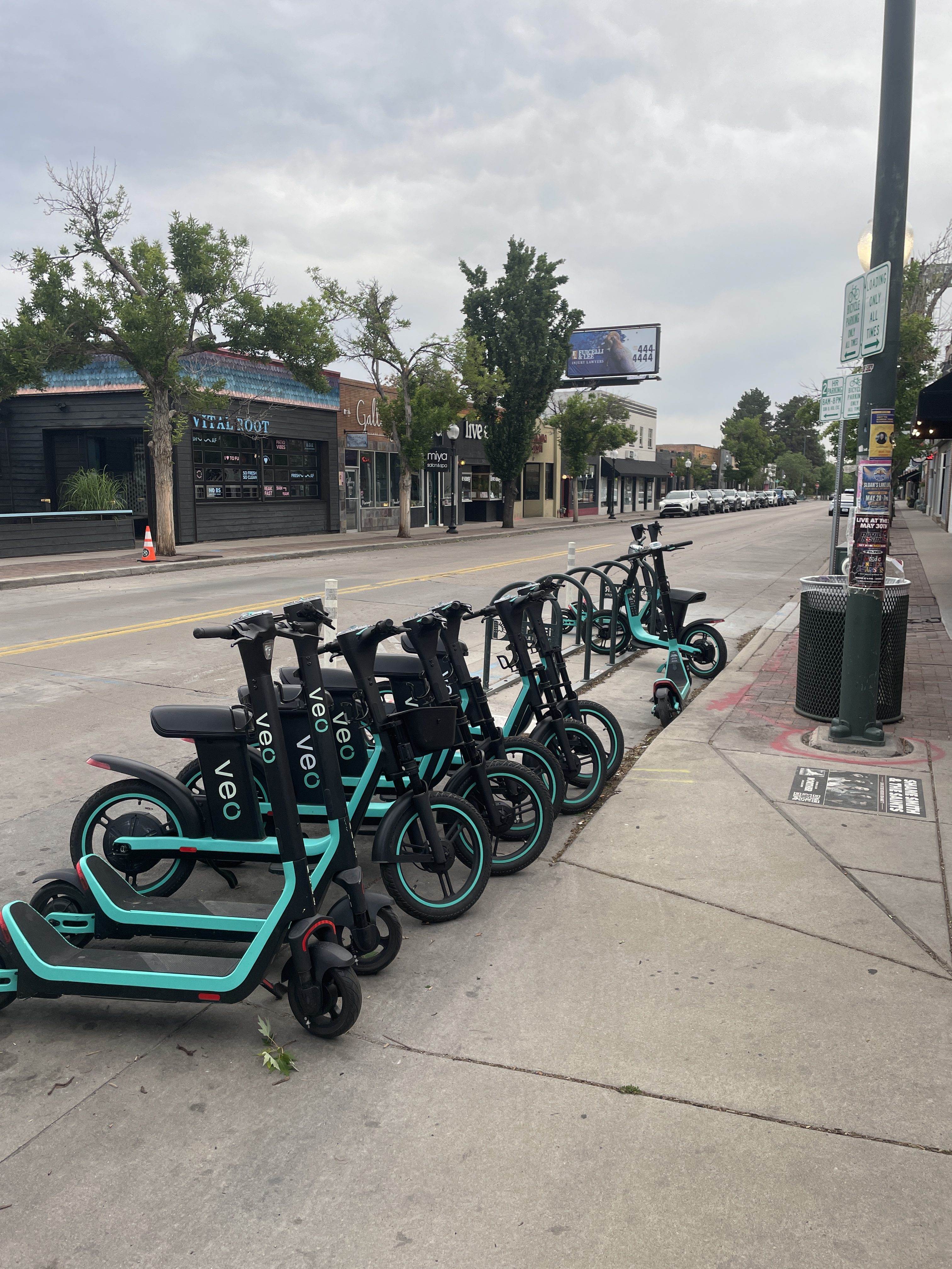
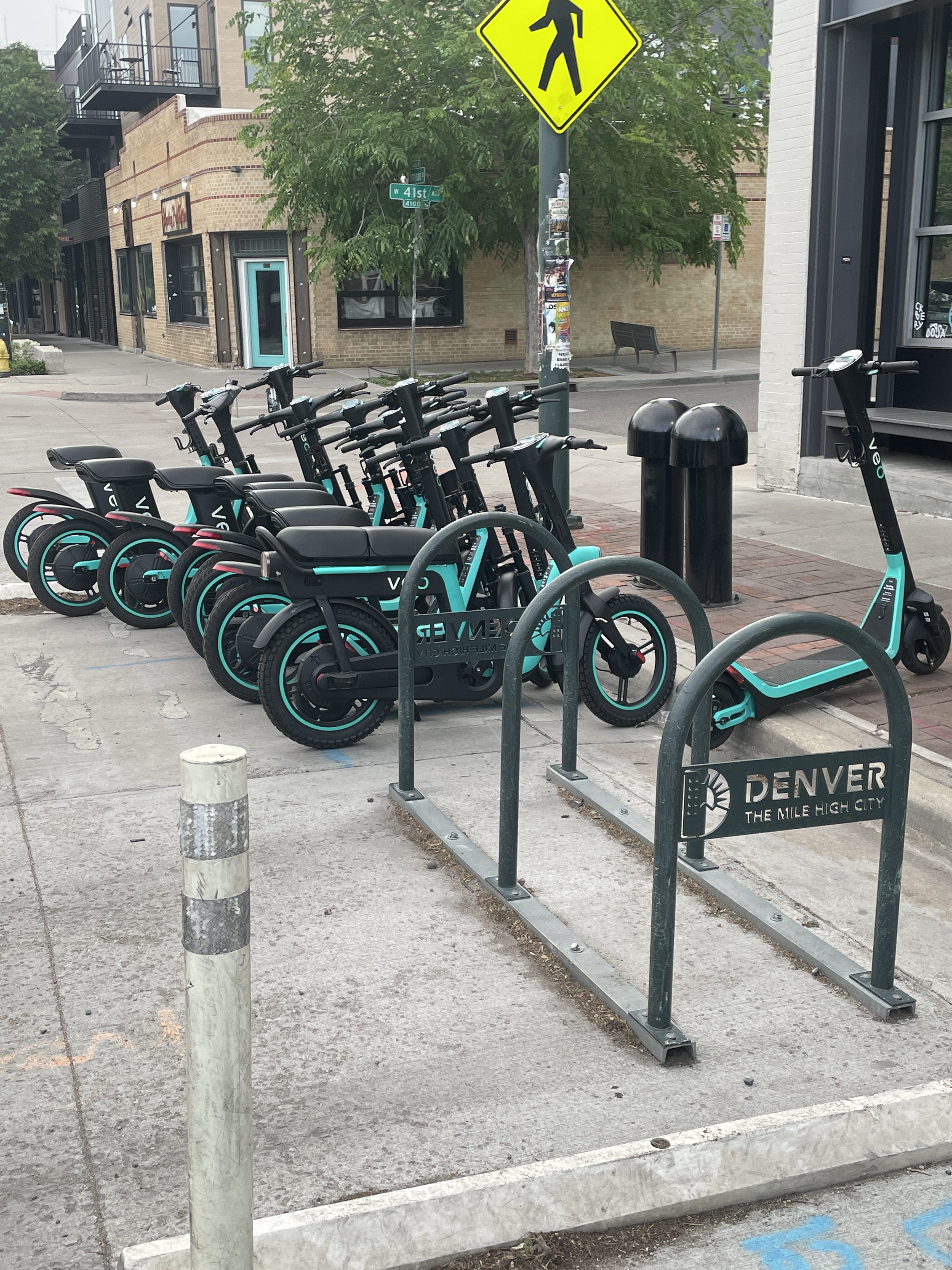

All the public bicycle parking available at W.43rd & Tennyson May 29, 2026. Note the Veo vehicles on the public right-of-way across the street, not in a loading zone or street parking for cars and trucks.

All the public bicycle parking available at W.43rd & Tennyson May 29, 2026. Note the Veo vehicles on the public right-of-way across the street, not in a loading zone or street parking for cars and trucks.
Click the link to read the article on The Land Desk website (Jonathan P. Thompson):
May 22, 2026
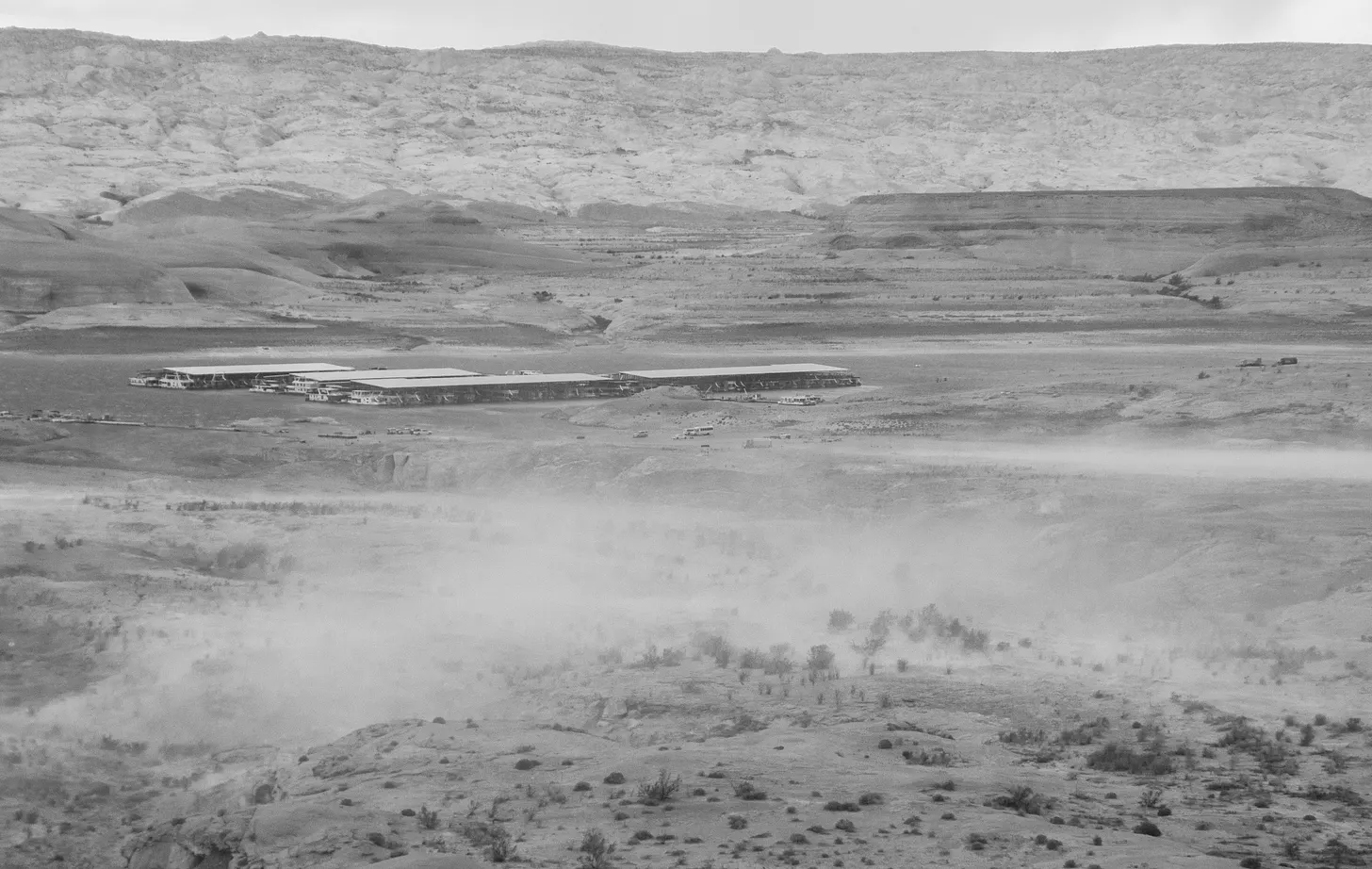
Maybe sitting next to the wall of plate glass windows was not the smartest move, I thought, as a sienna-colored cloud of sand lifted up from the lakeside and made its way in my direction. I had just tucked into my $16 grilled chicken sandwich at the Anasazi Restaurant at Bullfrog Marina on Lake Powell when the wind kicked up, sandblasting the windows and causing a sizable milk crate to slide back and forth along the railings of the patio outside. It was an eerie scene. Had this been an apocalyptic cli-fi film set in a calamitously aridified West, this would have been the moment when a pterodactyl-like creature smashed through the window and plopped down all bloody and sandy in my plate of fries, an omen of the horrors to come.
It was not, however, a film. The dystopian scene was real as was the aridification, though it did not include any prehistoric creatures — only a handful of staff and other diners who, much to my dismay, seemed utterly unperturbed by the sandstorm and the havoc it was wreaking on a set of outdoor furniture. And, outside, a few ravens who seemed delighted to frolic in the gusts’ updrafts.
When we think of climate change’s effects, we might imagine communities inundated by rising seas, unhoused folks exposed to ever more severe heat waves, or entire towns wiped out by megafires. I was here at Bullfrog to see how a warmer and drier climate is affecting the communities, infrastructure, and economies that rose up around and depend upon Lake Powell-based recreation.
Bullfrog is the largest and most extensive marina on Lake Powell’s northern end. It has a 48-room hotel, the aforementioned restaurant, a gas station and convenience store, an RV park, and other lodging, along with its own school, which this year had four students in grades K-6. The population of some 50 to 100 consists mostly of employees of the National Park Service and Aramark, the private concessionaire that runs the reservoir’s marinas and other facilities. Nearby Ticaboo, which lies outside Glen Canyon National Recreation Area but also relies on Lake Powell recreation, has another 50 to 100 residents. The nearest incorporated town is Hanksville, some 67 miles to the north.
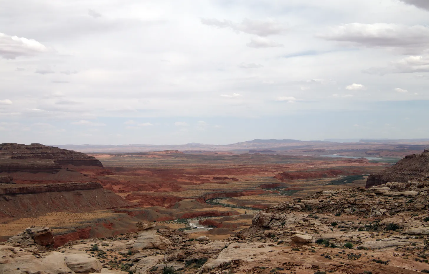
Bullfrog lies at the end of the road on a bay at the mouth of Bullfrog Creek, where the water is shallower than on the main channel of the Colorado River, making the marina and its facilities more vulnerable to dropping water levels. While the main boat ramp is still being used, it will likely become unusable later this summer as the reservoir’s surface levels falls toward 3,500 feet. In coming weeks, the entire floating marina will be towed across the reservoir to deeper water adjacent to Halls Crossing Marina; Bullfrog’s fuel and boat rental docks have already been moved. The ferry between Bullfrog and Halls Crossing isn’t functional at low water levels, so is expected to be out of commission for the rest of this year, making for a 145-mile car trip between the facilities at Bullfrog and the boat ramps and marina at Halls Crossing.
I visited Bullfrog on a Sunday in mid-May. Because I needed to do some internet-related work early on Monday morning, I stayed in the hotel. I initially regretted not staying in the campground, since it was mostly empty and had a strong cell phone signal, but when the tent-shredding winds and skin blasting sands kicked up I was happy to be ensconced in more secure lodging, especially given the relatively reasonable price.
It was the high tourist season elsewhere in Canyon Country. The trailhead parking lots at Capitol Reef National Park were all full or overflowing that morning as I drove through, and Torrey had been busy during my stay there for a writing conference. As I slowly made my way down the Notom Road and Burr Trail, stopping frequently to gaze at the curves and crevices in the Waterpocket Fold and for a quick bike ride, I saw maybe a half-dozen other vehicles.

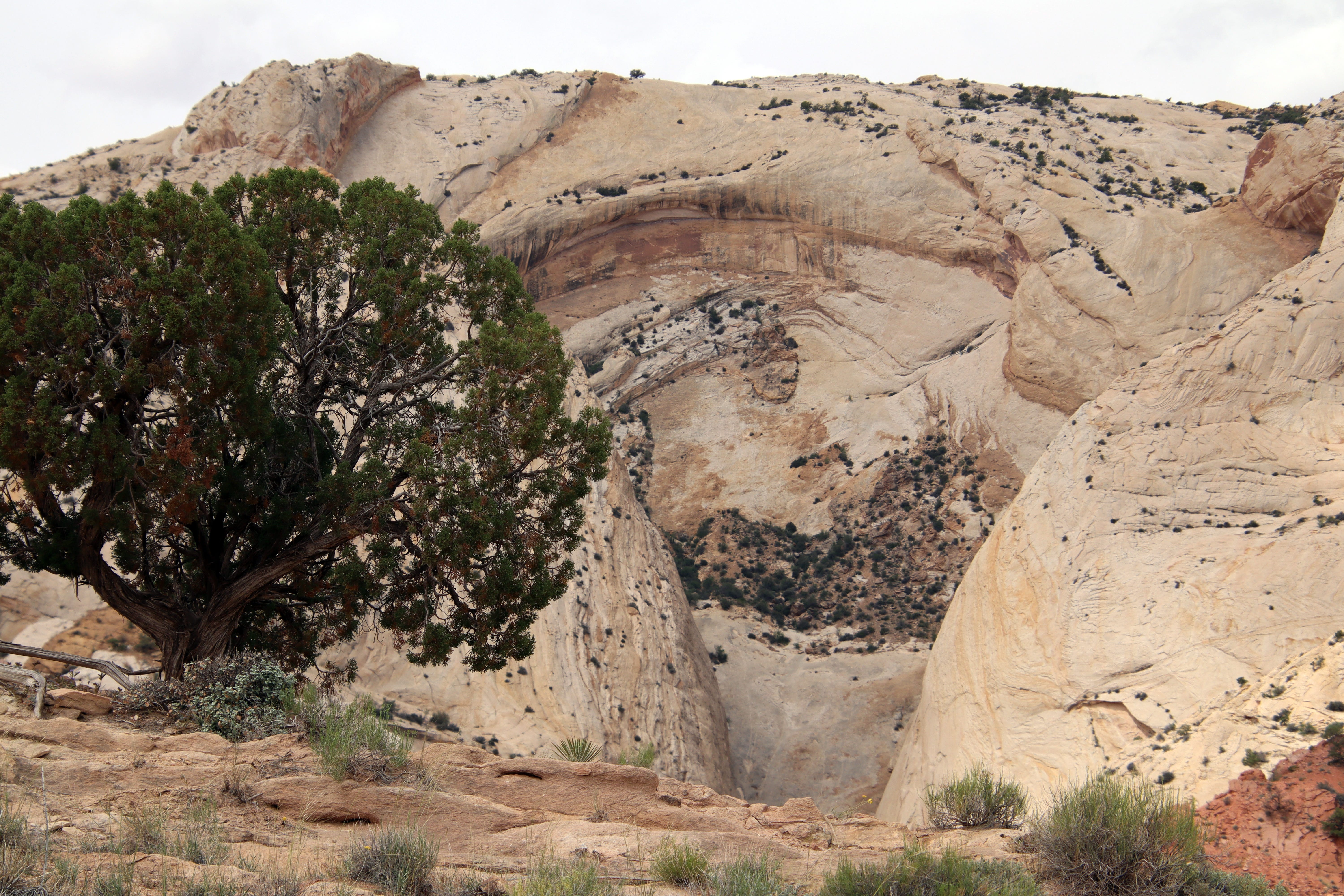
Bullfrog, meanwhile, was decidedly quiet. The hotel was nearly empty. Only a few sites in the RV park were occupied, and I later saw that most of the sites were out of order and closed. A couple of dozen cars, at the very most, were parked on the only operable boat ramp. The shelves on the little convenience store were sparsely stocked, and a box of Triscuits was going for $7.50 — though there was no cheese to accompany them — and gas was selling for $5.17. In May of 2000, the Bullfrog District received 33,000 visits, according to National Park Service statistics; in May 2025 only 10,886 visitors passed through the entrance gate. Current numbers aren’t yet available, but I imagine this year’s visitation will be far lower. And once the boat ramp ceases to function, I imagine the numbers will plummet further.
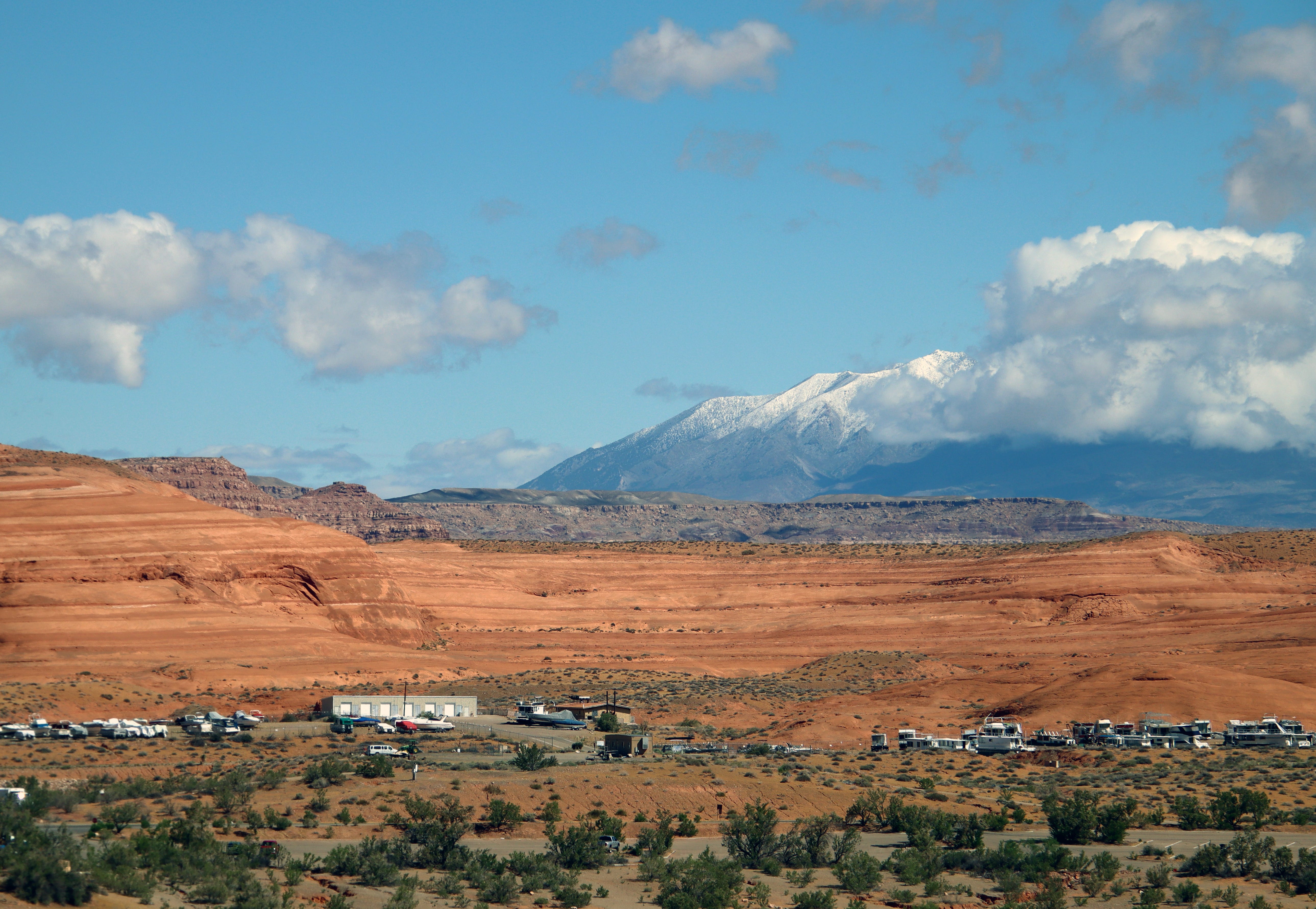
The National Park Service is planning to build a new, deeper-water boat launch at Stanton Creek, a couple of miles from central Bullfrog, where the marina can be moved permanently. The project is expected to cost some $73 million, and won’t be completed this year. It’s a type of climate adaptation, I suppose, though one can’t help wonder how long the fix will last if the reservoir’s levels keep dropping.
Meanwhile, Bullfrog’s future is in doubt. A series of especially snowy winters in the high country might be enough to bring Bullfrog back from the edge of obsolescence. Maybe they won’t even need the Stanton Creek site. On the other hand, just one more below-average snowpack year could doom Lake Powell altogether. If Colorado River flows don’t increase substantially in the next year or two, the Bureau of Reclamation will have little choice but to build tunnels to bypass Glen Canyon Dam and effectively drain the reservoir in order to keep water running into the Grand Canyon and on to Lake Mead.
The question then would be whether Bullfrog could (or would even want to) adapt to a different sort of tourism.
The place might try to cater to hikers and small-watercraft users looking to check out newly revealed parts of Glen Canyon that have been inundated for the last several decades. And it could lure travelers exploring the greater region’s backcountry, though it’s not clear that type of visitor is going to be interested in the type of accommodations and services Bullfrog currently offers. Maybe it will just become a destination for disaster-tourist voyeurs looking to see the effects of climate change in real-time. Or, perhaps Bullfrog will become another Hite Marina, which the shrinking reservoir has left high and dry, its boat ramp separated from the lake by some six miles, the store and campground permanently shuttered and gated off.

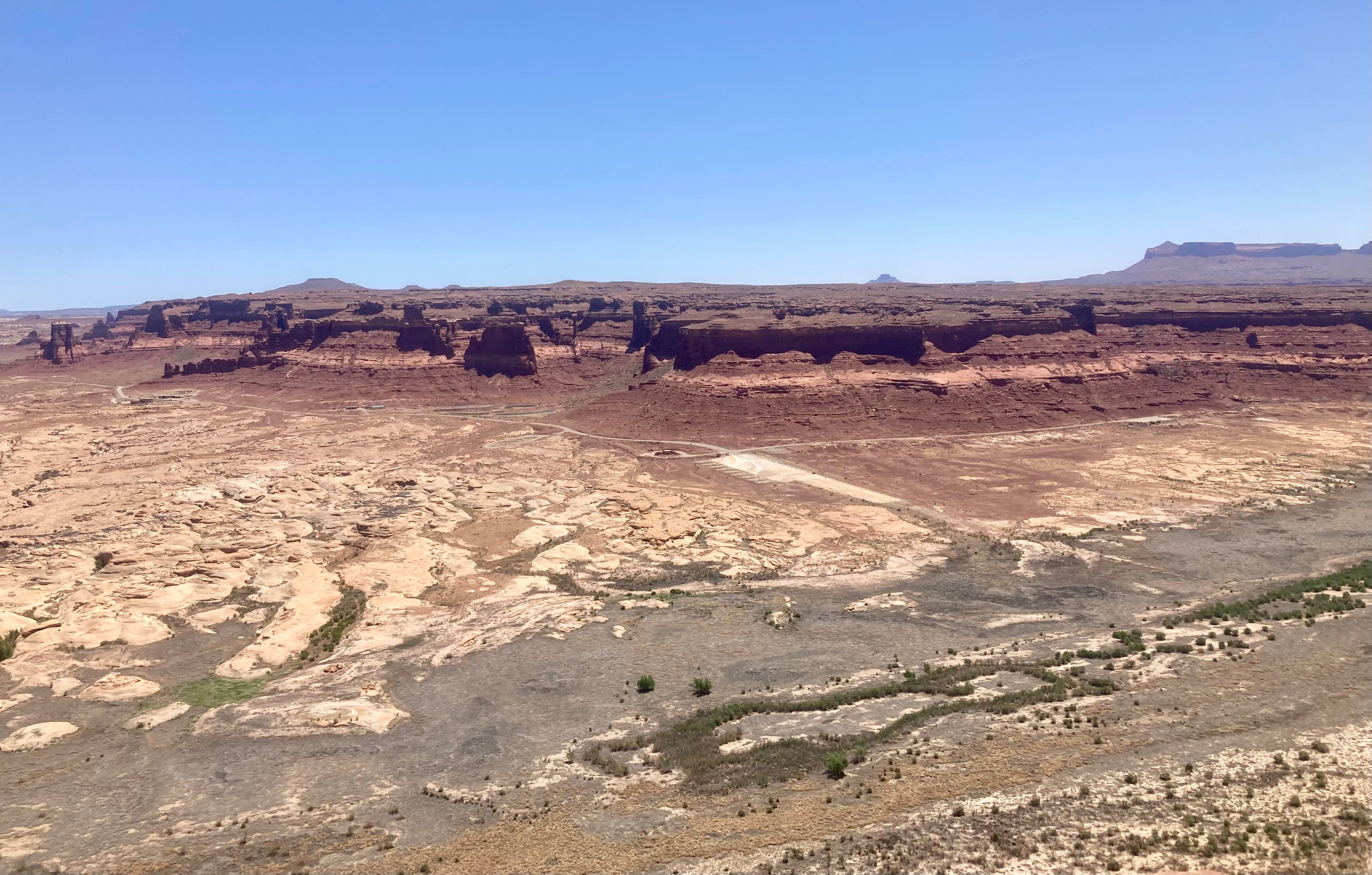
The last time I visited Bullfrog was in the late 1980s. My dad, my brother, and I camped at Halls Crossing, then woke up and rode the ferry across the lake. From there we made an epic loop around and over the Henry Mountains along the then-unimproved Burr Trail and another gnarly road in our 1967 Pontiac Catalina. It took at least eight hours and involved some extensive road-building to keep the boat-like vehicle from bottoming out. Anyway, I remember Bullfrog as being a bustling resort with a sort of spring break party vibe, relative to the more bare-bones Halls Crossing. Of course, those were the glory days for Lake Powell, when the reservoir was full, and at the end of a bone-jarring drive across the desert one could stop at the Hite Marina for refreshments.
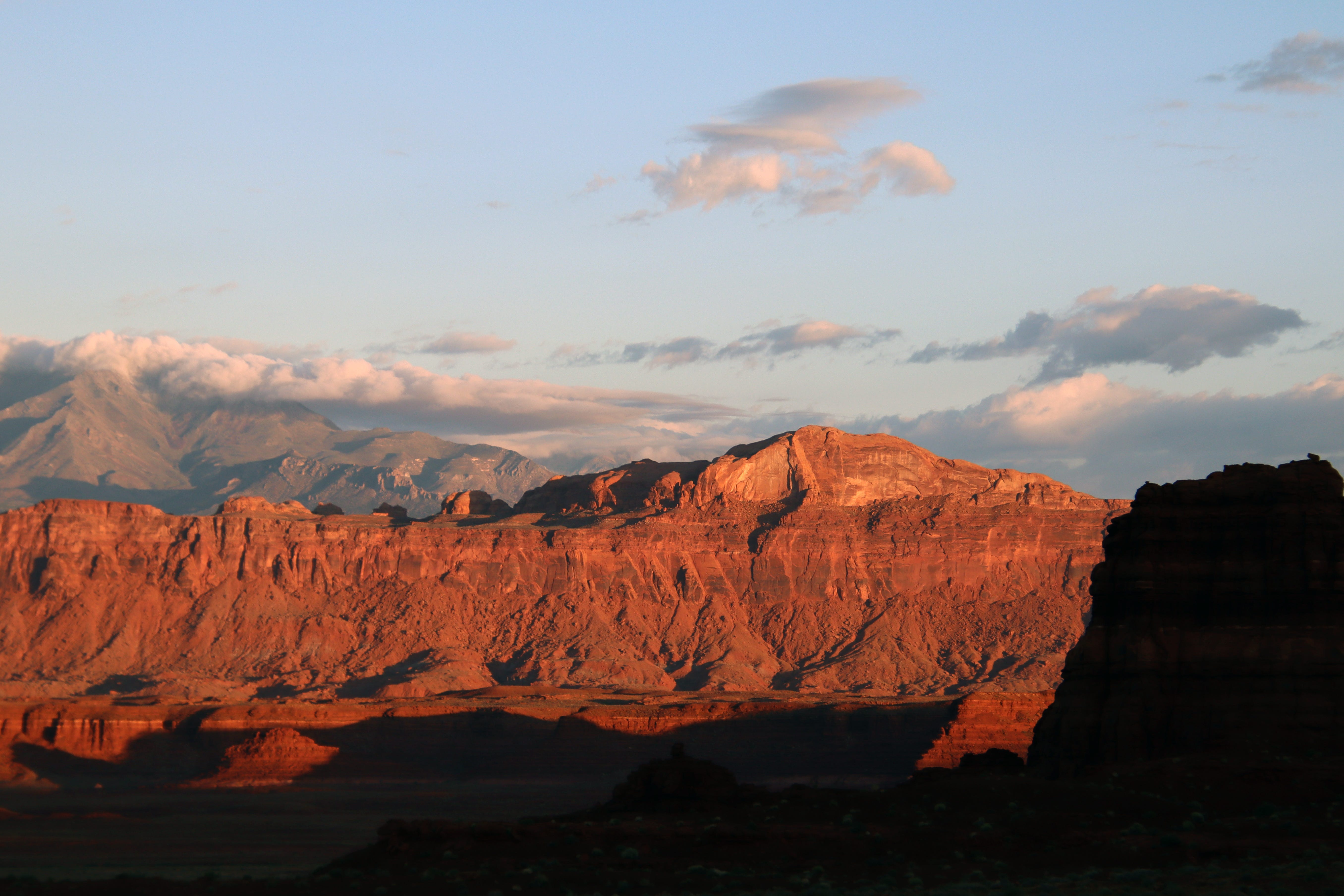
That night I listened to the sand batter the sliding glass door of my hotel room. The next morning, the reservoir’s placid waters reflected dawn’s first light, and the distant sandstone dunes seemed to glow from within. And to the north, a fresh coating of snow covered the craggy slopes of the Henry Mountains, promising a little bit of relief from these dry and trying times.
📸 Parting Shots 🎞️
Click on a thumbnail graphic to view a gallery of drought data from the US Drought Monitor website.
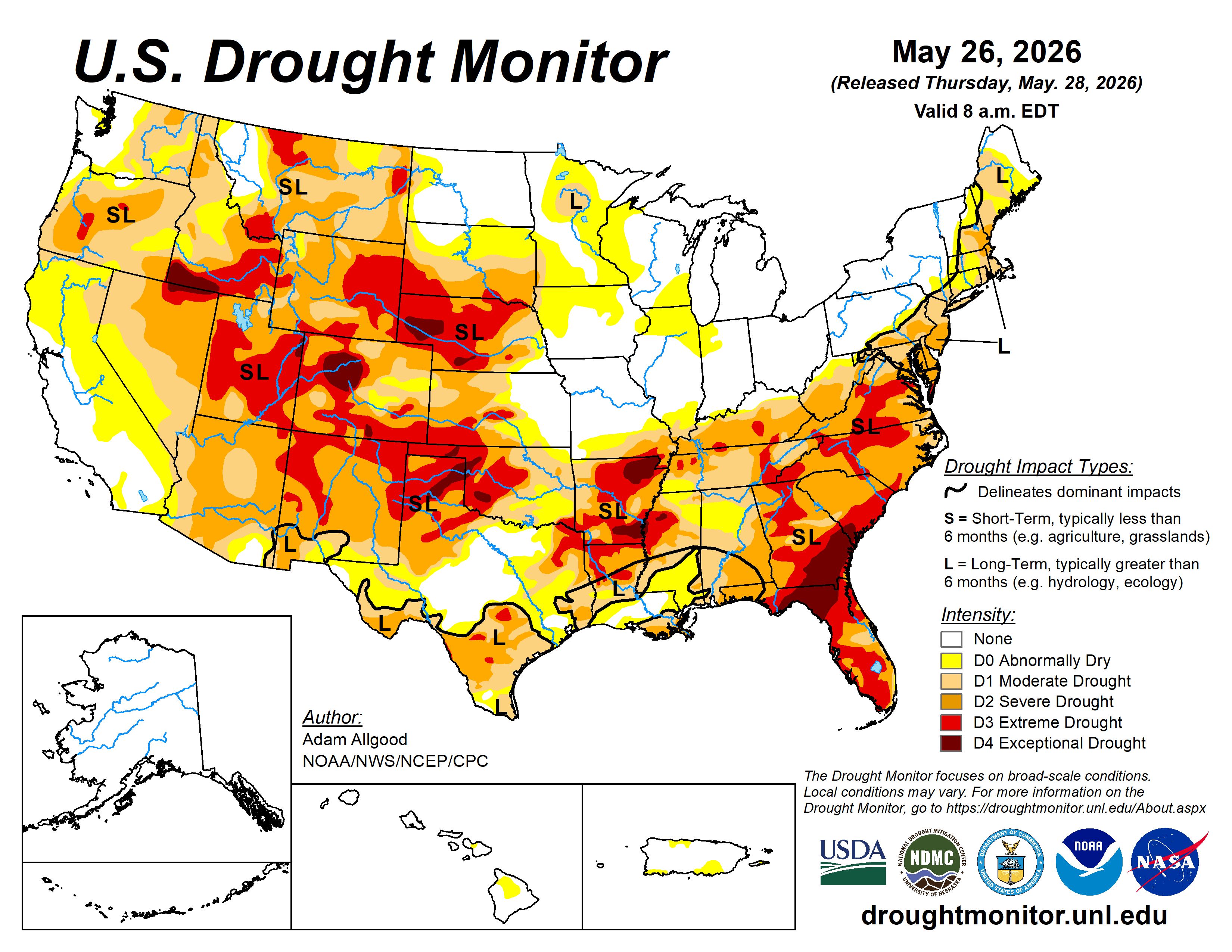


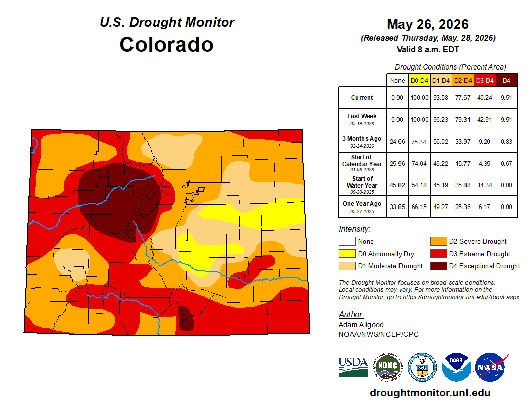
Click the link to go to the US Drought Monitor website. Here’s an excerpt:
This Week’s Drought Summary
During the week, a highly variable weather pattern brought wide temperature swings to much of the contiguous United States. An unusually cold airmass that had settled over the Plains at the start of the week pushed eastward, bringing a rapid and stormy end to the early season heat wave across the Eastern Seaboard. In contrast, the West baked under much above normal temperatures. By mid-week, much above-normal temperatures had returned to the Plains, with daily maximum temperatures climbing into the upper 90s in some locations. As temperatures began to rebound across the East, cooler air overspread the Pacific states by the end of the week.
The strong temperature gradients that set up across the Nation, coupled with ample Gulf moisture streaming northward resulted in widespread heavy and persistent precipitation, with many locations exceeding two inches from eastern Texas and Oklahoma northeastward to the mid-Atlantic states, and isolated instances of 6 or more inches in some spots. Widespread rainfall, albeit with lighter accumulations, fell across the north-central Plains as daily temperatures warmed, but mostly dry weather prevailed across the upper Mississippi Valley and western Corn Belt. West of the Rockies, mostly dry weather prevailed for most of the week, but showers associated with a strong cold front overspread the Northwest at the very end of the period…
High Plains
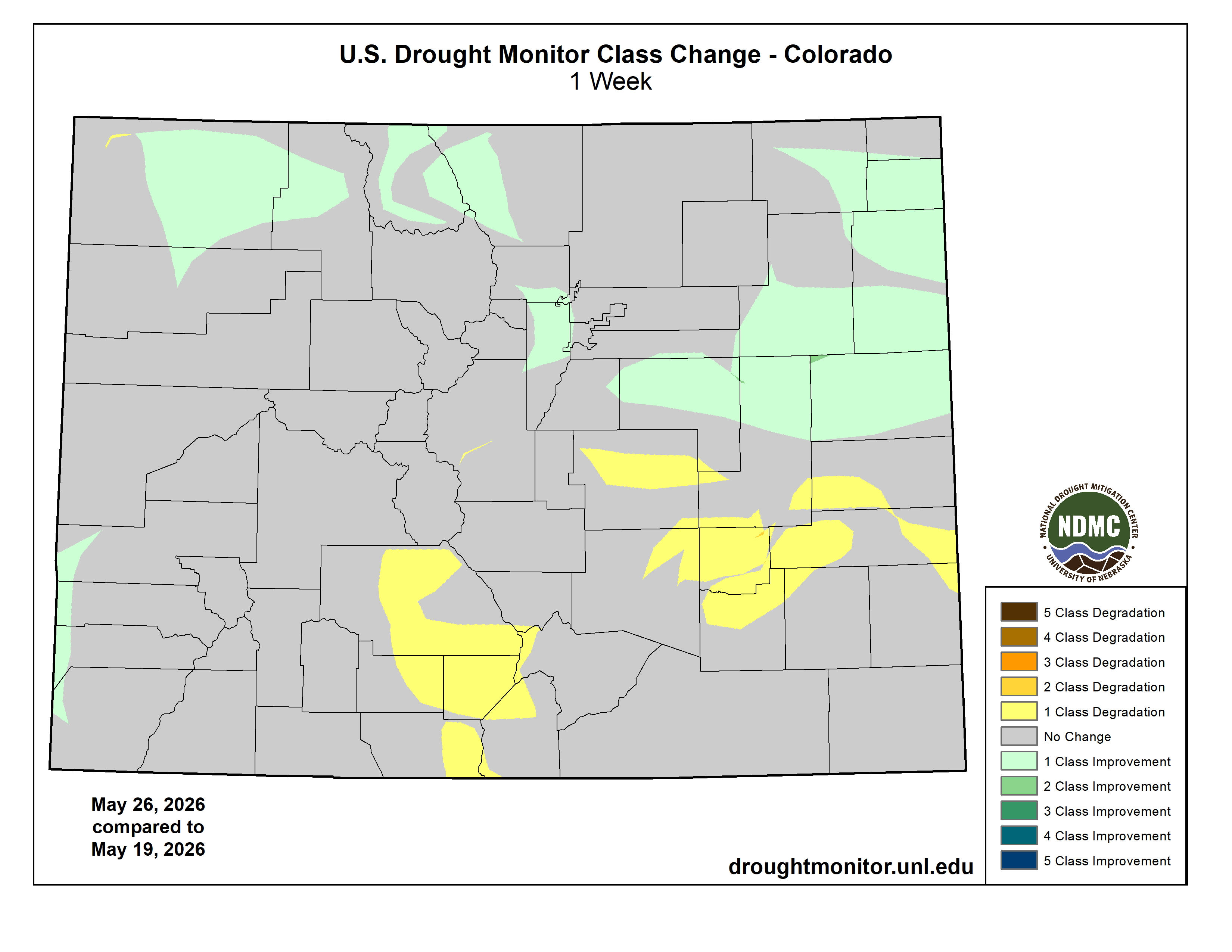
As below-normal temperatures transitioned back to a hot pattern across the High Plains, widespread precipitation moved through the region. Areas of convection brought up to 2 inches of rain to portions of eastern Nebraska and eastern Colorado, while amounts were generally an inch or less elsewhere. This precipitation was sufficient to bring some drought reduction across northern and northeastern Colorado, but drier conditions across southeastern Colorado and Kansas, coupled with hot temperatures, resulted in degradation. A sharp cutoff in precipitation was also noted across the far western Dakotas, where small areas of degradation were noted along the borders with Wyoming and Montana…
West
Mostly dry weather and above-normal temperatures dominated the Western Region during the week sparking some small-scale degradation across Montana, Idaho, and New Mexico, where the effects of the meager winter snow cover are beginning to be felt in falling streamflow values. Status quo was maintained west of the Rockies for the most part, as reservoir conditions remain good across California during a climatologically dry time of year. At the end of the week, a strong cold front brought abnormal moisture to the Northwest and northern Rockies. While not sufficient to substantively alter the drought depiction, a modest reduction in abnormal dryness was noted in far northwestern Washington…
South
Widespread heavy rainfall overspread the Southern Region, with amounts increasing from west to east. Accumulations of 2 to locally more than 5 inches fell across most of Tennessee, engendering widespread drought reduction. Rainfall was locally heavy but a bit spottier across Louisiana and Arkansas, which also saw widespread drought reduction but with less coverage. Across Texas, heavy rainfall across the eastern half of the state yielded drought improvements and also localized flooding. Across North Texas, localized convection brought relief to some areas, but hot conditions resulted in degradation where precipitation did not occur…
Looking Ahead
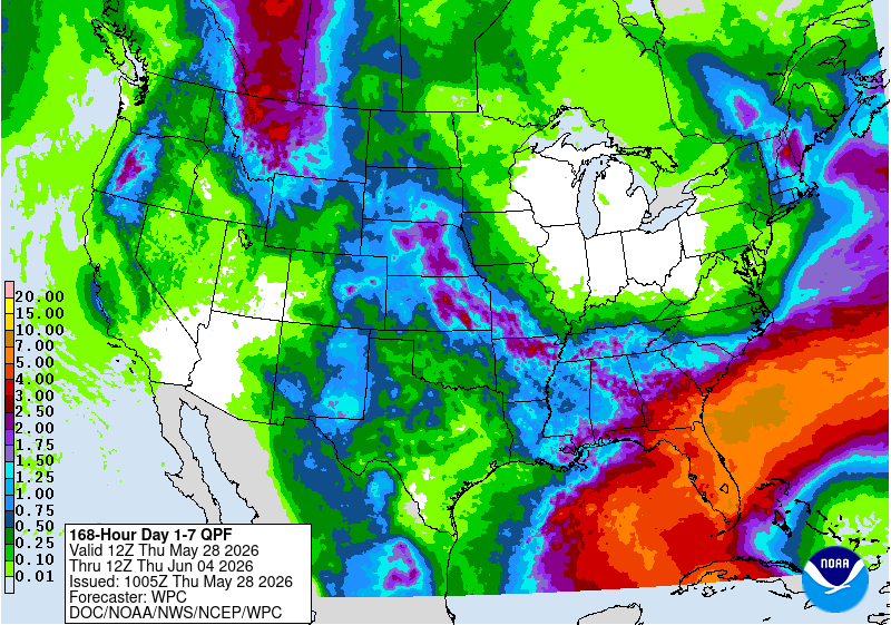
During the upcoming week, a late season storm system across the West is forecast to bring abnormal moisture to California, Oregon, and Washington, with precipitation spreading eastward to the northern Rockies by mid-week. The heaviest accumulations are forecast across the southern Cascades. Periods of convection are favored across the Plains states throughout the week, with the WPC 7-day quantitative precipitation outlook showing a potential for 1 inch or locally more across portions of Nebraska and Kansas, where Gulf moisture advection is most pronounced. Across the eastern third of the CONUS, unsettled weather is favored to continue across the Southeast, with the focus of heaviest precipitation shifting towards Florida and the south Atlantic coastal plain. A slow moving cold front is forecast to push east during the period, maintaining showery weather across the Deep South while cooler and drier conditions overspread the Corn Belt and Northeast.
During Week-2, the trough over the East is favored to rapidly de-amplify, with temperatures quickly moderating. Above-normal temperatures are favored across the West and northern tier of the CONUS on the latest CPC 8-14 day outlook, with mostly near-normal temperatures the most likely outcome across the South and Southeast regions. Unsettled weather and continued precipitation may play a role in keeping hot weather at bay across the southern tier. The CPC 8-14 day precipitation outlook favors above-normal precipitation across the Four Corners states eastward along the southern tier to the Atlantic coastline as far north as Virginia. Near normal precipitation is favored elsewhere, except for a small wet signal over the Pacific Northwest. Above-normal precipitation is favored for eastern Alaska, while above-normal temperatures and above-normal precipitation are both favored for Hawaii.
