
Click the link to read the article on the Aspen Journalism website (Heather Sackett):
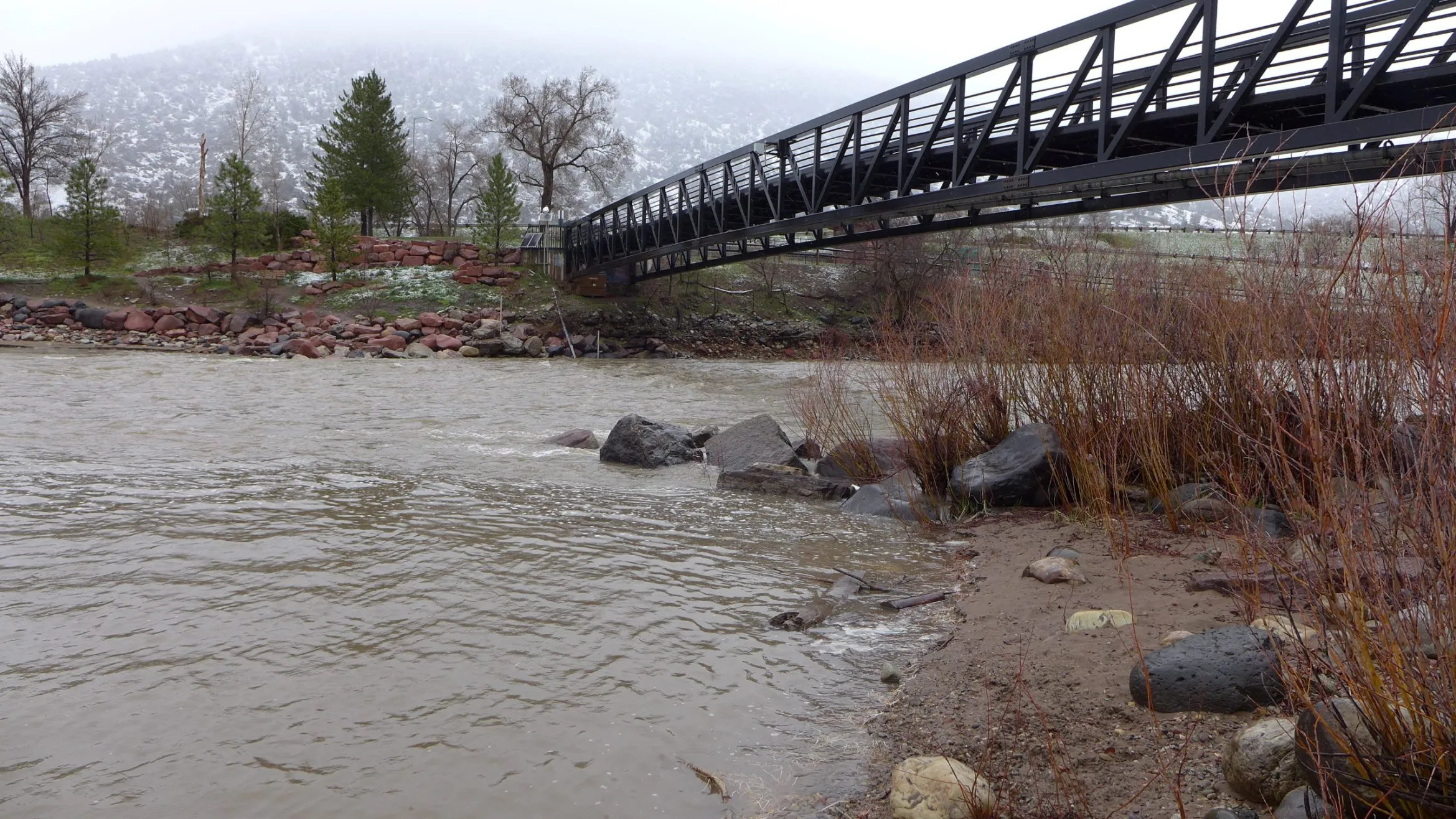
Fueled by a deep snowpack that hit record highs in some areas, spring streamflow is forecasted to be well above average across the Western Slope.
According to the April Water Supply Outlook Report from the National Resources Conservation Service, streamflows are forecast to be 184% of median in the Yampa/White/Little Snake River basin; 173% of normal in the Gunnison River basin; 171% of median in the San Miguel/Dolores/Animas/San Juan basin. The mainstem of the Colorado River headwaters lagged behind other areas of the West Slope with a predicted 118% of normal streamflow.

The Roaring Fork River basin is forecast to hit 136% of median streamflow; the Eagle River basin is at 105% of average and the Blue River is at 94% of median. At the confluence of the Roaring Fork and Colorado rivers in Glenwood Springs, streamflow is forecast to be about 140% of normal.
“I think the biggest takeaway is that really substantial March precipitation across the state, particularly in western Colorado, really boosted the streamflow forecast,” said Karl Wetlaufer, a hydrologist and assistant supervisor with the NRCS Colorado Snow Survey. “A pretty substantial proportion of western Colorado SNOTEL sites had record-high or second-highest snowpack accumulations for the month of March and that was going on top of a snowpack that was already quite substantial.”
SNOTEL, or snow telemetry, sites are remote sensing stations throughout the West’s mountainous watersheds that collect weather and snowpack data. Most sites have been collecting data for about the last 30 or 40 years. According to the report, up to 30% of the SNOTEL sites in the state reached a record or near-record snow depth and snow-water equivalent. Snow-water equivalent (SWE) is a measure of how much water is contained in the snowpack.

The southwest corner of the state was the big winner for March precipitation, with the combined San Miguel/Dolores/Animas/San Juan river basins receiving 326% of median snowfall. The Sharkstooth SNOTEL site in the Dolores basin ended March with a whopping 532% of median precipitation.
With warmer temperatures this week, it’s likely that much of the Western Slope has already turned the corner, hitting peak snowpack and beginning to melt out. In the Roaring Fork basin, most SNOTEL sites started seeing a decrease in snowpack around April 9 or 10.
“It’s definitely looking like this may have been peak snowpack statewide in the last week or so,” Wetlaufer said. “You can always get another pulse that can top it, but I think it would take a significant input of snow to achieve a new peak beyond what we have seen.”
As that snow turns to water it will begin to fill Colorado’s depleted reservoirs. For many of the reservoirs, Wetlaufer said, inflow is forecast to be more than the reservoir’s total capacity.
“It’s encouraging that this year will most certainly help to fill most if not all reservoirs,” he said.
After two years of drought, in March 2022, Ruedi Reservoir on the Fryingpan River above Basalt hit its lowest level in two decades. This year, Ruedi is on track to fill, with a forecasted 107% of average inflow. The reservoir is currently at about 61% full.
“We should have the best opportunity to reach a full fill since 2019,” said Tim Miller, a hydrologist with the U.S. Bureau of Reclamation, which operates Ruedi Reservoir.
As spring progresses, water managers will get a clearer picture of what this year will bring. Scientists are gaining a better understanding that what happens in the weeks following peak snowpack can have an outsize influence on the year’s water supply and that the April numbers may no longer be a reliable benchmark.
In particular, timing of the melt out can be hard to predict. High temperatures, lots of sun and dust on snow, which increases the melt rate, could all combine to cause flooding in some areas.
“I think the timing of this runoff is something I would advise people to watch closely, both for reservoir management and for the flood potential,” Wetlaufer said. “With this much water stored in the snowpack across western Colorado, if it does come down all at once, the rivers are most certainly going to be flowing fast and furious.”
Dave Kanzer, director of science and interstate matters with the Colorado River Water Conservation District, said the good news is that there should be enough water for nearly all users in western Colorado this season and that most reservoirs, including Paonia, Ridgway, Granby and others, should fill and spill. But regionally, even this winter’s record-breaking snowstorms won’t be enough to replenish the nation’s two largest reservoirs Lake Powell and Lake Mead, which are 23% and 28% full, respectively.
The March forecasts from the Bureau of Reclamation, which manages Powell and Mead, predicted that the most probable estimate of inflow into Lake Powell this year would be 10.9 million acre-feet, which is 113% of average. According to Reclamation’s estimates from March, 10.9 million acre-feet of inflow would result in raising Lake Powell’s elevation to 3,552 feet, or about 33% full, as of Dec. 31, 2023.
“One year does not bust a drought,” Kanzer said.
