Click on a thumbnail graphic below to view a gallery of drought data from the US Drought Monitor.


Here’s an excerpt from the website:
Summary
Active weather across the Midwest during the beginning and end of the current period brought rain and severe storms over the region. Warm and windy conditions dominated conditions on the Plains; wildfires were a great concern throughout Oklahoma and Kansas, with multiple fatalities associated with the fires. Temperatures from South Dakota into Texas were 6-9 degrees above normal, with portions of eastern Nebraska and eastern Kansas 9-12 degrees above normal. Much of the West was cooler than normal with departures of 3-6 degrees below normal. Rain and snow over parts of northern California and into the coastal regions of Oregon and Washington continued the active pattern that has been consistent over the West Coast. The driest areas of the Southeast did pick up some precipitation, but most areas were normal to slightly below normal for the week…
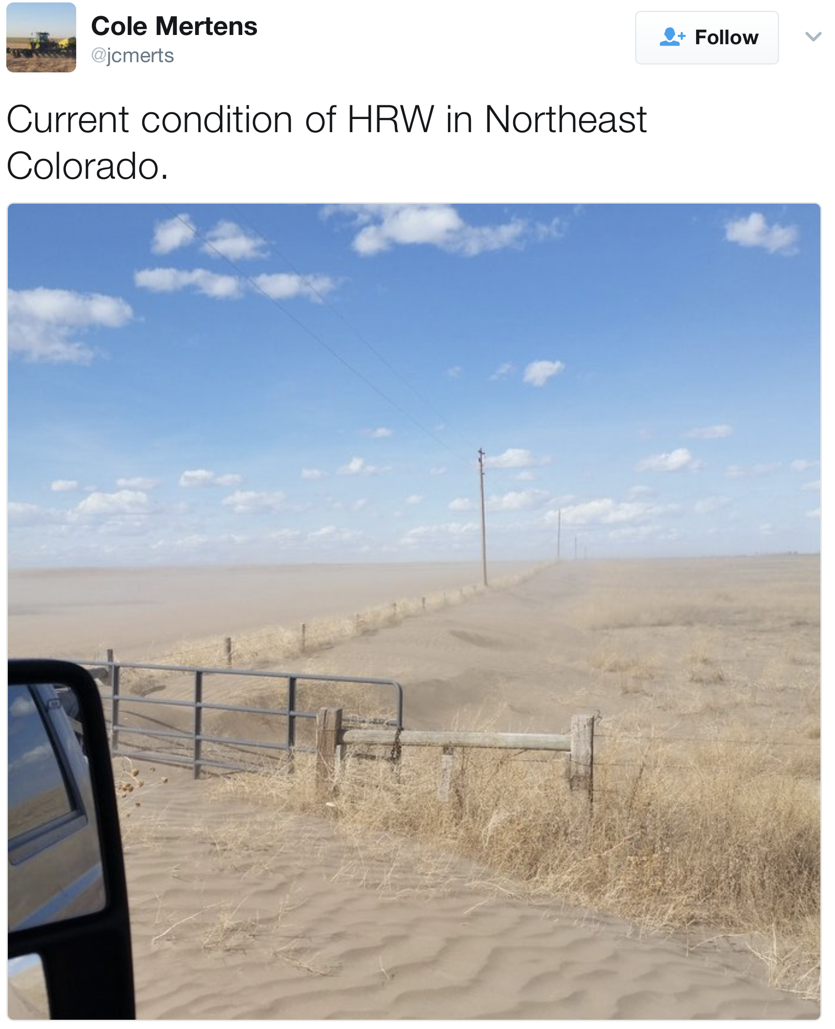
High Plains
A warm, windy, and dry week dominated the High Plains, with only scattered rain over the region. Conditions are drying out with the windy and warm weather and any moisture recently received has been evaporated quite rapidly. Abnormally dry conditions were expanded over southeast Nebraska and into eastern Kansas while moderate drought was expanded over eastern Kansas as well. In southwest and south-central Kansas, moderate and severe drought were expanded slightly this week too. This area will need to be monitored closely for further degradation if precipitation does not materialize…
West
Cooler than normal conditions dominated the West, with precipitation over the coastal regions and into the Southwest. Several improvements were made this week in response to not only recent precipitation but also precipitation over the last several months. In Montana, good snow totals allowed for some improvement to the abnormally dry conditions. Abnormally dry conditions were removed from eastern Oregon due to the short-term indicators improving the overall conditions and superseding the long-term indicators. In southern California, severe drought was eliminated in the Santa Barbara, Ventura, and Los Angeles county region as the response from recent rains has improved long-term impacts to groundwater. Improvements were also made in the Imperial Valley in response to recent rains where abnormally dry, moderate drought and severe drought were all improved. In Arizona, abnormally dry conditions were improved over the eastern portion of the state as well as the central portion of the state. Some abnormally dry conditions were left in place because of the low snow totals from this current water year…
Looking Ahead
Over the next 5-7 days an active pattern will develop over the South and into portions of the Southeast. Up to 2 inches of rain is projected from south Texas into portions of Louisiana and Mississippi. Another storm system will impact the Pacific Northwest with both coastal and inland regions anticipating over 4 inches of rain and snow accumulating in the upper elevations. Cooler air will move south out of Canada, bringing with it colder than normal temperatures over the eastern half of the United States. Warmer than normal temperatures are expected over much of the West and Southwest, with departures of up to 12 degrees above normal.
The 6-10 day outlooks show a high probability of above-normal temperatures centered over the Southwest and impacting most areas from the West, Plains, and Southeast. A higher probability of cooler than normal temperatures is anticipated over Alaska, New England and the Pacific Northwest. The highest probabilities of above-normal precipitation are projected to be over the Pacific Northwest and New England while both the Plains and Alaska are showing the highest chances of below-normal precipitation.
From The Denver Post (Jesse Paul):
The report classifies about 52 percent of the state as abnormally dry with another 37 percent of Colorado under moderate drought. That includes the entire Front Range from New Mexico to Wyoming, including Pueblo, Colorado Springs, Denver, Greeley and Fort Collins.
Nearly all of Lincoln County is listed as being in severe drought, with a tiny sliver of Colorado’s southeast corner — representing just 0.2 percent of the state — in extreme drought.
The drought levels are slightly above where they were measured last week but far higher than a year ago when roughly 14 percent of the state was classified as abnormally dry.
None of the Western Slope is under drought conditions.
The dry weather has been blamed for contributing to wildfires across the eastern half of Colorado, including a 32,000-acre blaze in Logan and Phillips counties that burned several homes and killed about 200 cattle.