If Ranching Wants To Survive #Drought And Other #Climate Hassles, It’s Time To Show Soil Some Love — #Colorado Public Radio #ActOnClimate

Crop residue. Photo credit: Joel Schneekloth

From Colorado Public Radio (Michael Elizabeth Sakas):

Carbon farmers

A conventional rancher turns cattle out onto pasture for several weeks or months. But that can lead to overgrazing and major damage to the land, especially during a drought. So the Gordons use portable electric fences to keep their cattle moving, mimicking how predators chase herd animals around.

“Whether it be elk or bison that used to be on an area for a short period of time, consuming that one bite or two of the vegetation, and they would move,” Matthew said. “And that’s when the magic happens of the recovery period.”

Since there’s still something left of that grass, it can use photosynthesis to regrow. Through that process, the plant captures carbon dioxide from the atmosphere and carries it down into the soil through a healthy root system.

“Carbon capture is kind of a buzzword these days, and they’re trying to develop technologies to do it when this is a technology that we’ve had for forever,” Matthew said.

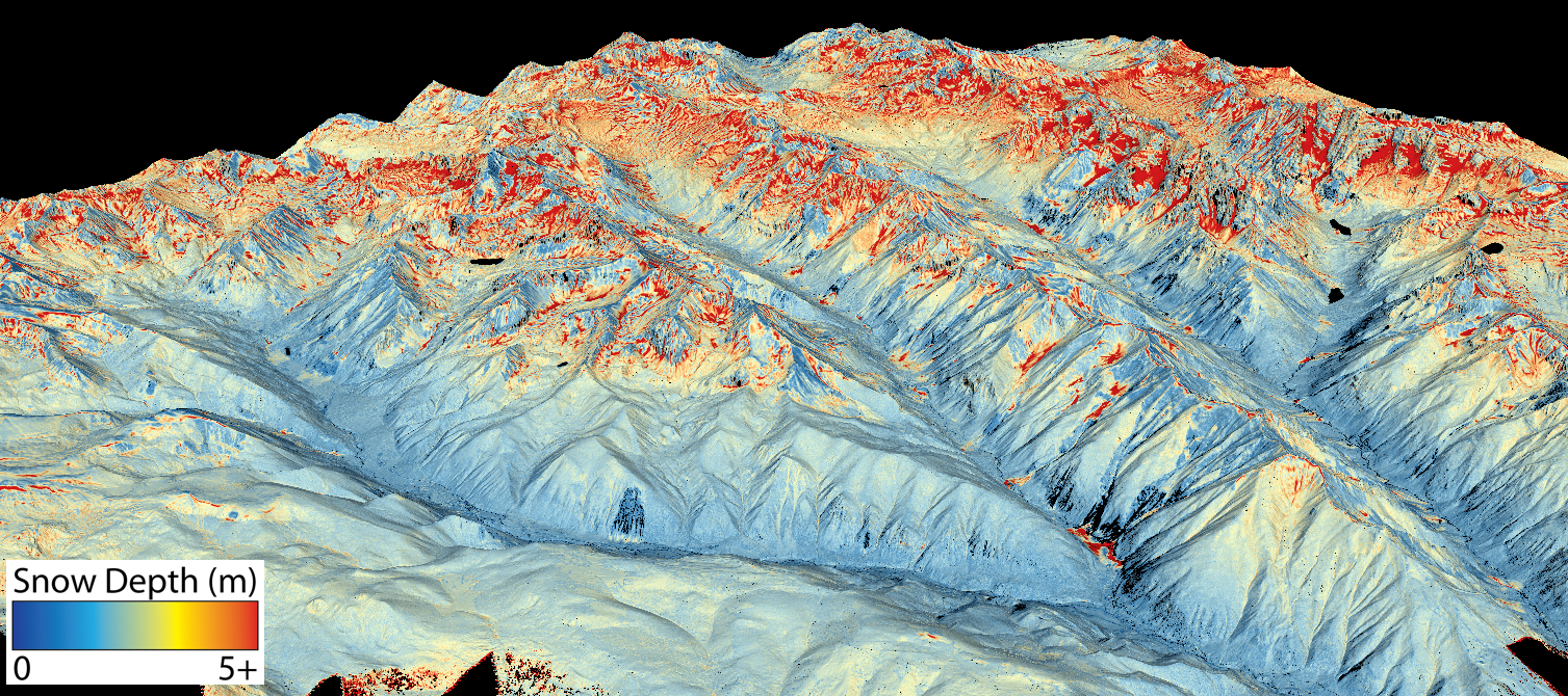
It’s likely that Colorado’s drought will continue into 2021 and Gov. Jared Polis is urging farmers and ranchers to prepare for it. To adapt to climate change, some producers are learning techniques that can also help trap and store carbon.

Industrial farming like intensive tillage, animal feedlots and the use of chemical fertilizers and pesticides, have done a lot of damage to soil ecosystems worldwide. The United Nation’s Food and Agriculture Organization estimates that the world could run out of topsoil in about 60 years at the current rate of degradation.

Nicole Civita, the sustainable food systems specialization lead at the University of Colorado Boulder, said before farmers and ranchers started to plow up the prairies, there was a “really complex, rich ecosystem.”

“We took what had developed over millennia and had been really well managed by indigenous communities, and destroyed it all very, very quickly to our own peril,” Civita said.

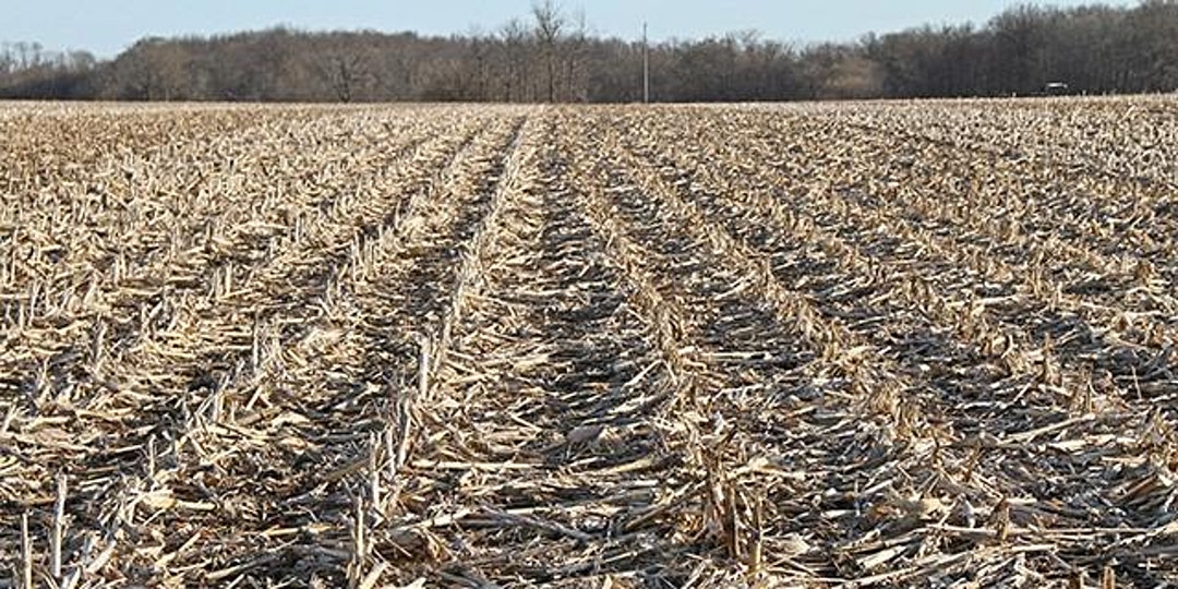
Regenerative agriculture is considered an important climate solution since it has the potential to draw down a lot of carbon. One technique that the U.S. Department of Agriculture tracks is the use of cover crops, which help promote healthy soil instead of leaving the ground bare between harvests.

Support and funding

From 2012 to 2017, there was a 2.8 percent increase in cover crop acreage in Colorado, USDA data shows. But only about 1 percent of the total crop acreage planted in Colorado was used for cover crops.

While more farmers and ranchers are adopting regenerative agriculture techniques, they make up a small number overall. Civita said that it’s not what most producers know.

“There’s a knowledge gap that we need to bridge because we have been farming in agrochemical-ly intensive ways for a long time,” she said…

Farmers and ranchers often need financial support to make the shift. Colorado has created a soil health program to help, but there’s no state funding for it yet. For now, the program is funded by a $5 million partnership with the USDA.

The Gordons got a microloan from a local nonprofit to help them start.

Program expanding to map #Colorado mountain #snowpack — @AspenJournalism

This map shows the snowpack depth of the Maroon Bells in spring 2019. The map was created with information from NASA’s Airborne Snow Observatory, which will help water managers make more accurate streamflow predictions. Jeffrey Deems/ASO, National Snow and Ice Data Center

From Aspen Journalism (Heather Sackett):

Front Range water providers are hoping to expand a program that uses a new technology they say will revolutionize water management in Colorado. But for now, the expensive program isn’t worth it for smaller Western Slope water providers.

The Northern Colorado Water Conservation District is seeking state grant money to expand the Colorado Airborne Snow Observatory program. The ASO program uses remote-sensing lasers on airplanes known as LiDAR, which stands for light detection and ranging, to precisely measure snow depth…

The technology creates a much clearer picture of how much water is contained in the snowpack and has been used in pilot studies in the Gunnison River basin and for Denver Water.

But these flights have been scattered and lack consistent funding. A geographically expanded program with consistent funding would revolutionize water management in Colorado, according to the grant application.

“This technology is kind of a no-brainer when it comes to helping us understand what water we have to work with each year,” said Laurna Kaatz, the climate science, policy and adaptation program manager for Denver Water. “We know ASO adds value and is kind of the game-changer in water management.”

Denver Water, which provides water to 1.4 million people along the Front Range, is the ASO expansion project manager, while Northern Water is the fiscal agent. The Colorado, South Platte, Metro, Gunnison and Arkansas basin roundtables have each committed $5,000 toward the project.

The project would not fund the flights themselves but would be used to develop an expanded, collaborative, well-funded plan to identify which basins to fly each year.

A flight from NASA’s Airborne Snow Observatory gathers data about the snowpack above Dillon Reservoir on a flight. Information gathered from the flight helped Denver Water manage reservoir operations. Photo courtesy of Quantum Spatial

SNOTEL limitations

Important data points that water managers and streamflow forecasters use for measuring snowpack — and the water contained in that snowpack, known as snow-water equivalent (SWE) — are snow-telemetry (SNOTEL) sites, a network of remote sensing stations throughout Colorado’s mountainous watersheds that collect weather and snowpack information. But they provide just a snapshot of conditions at one location.

“A large amount of SWE is in that high-elevation snow band, which doesn’t get captured by the SNOTEL program,” said Steve Hunter, utilities resource managers for the city of Aspen.

In the spring of 2019, Denver Water learned just how valuable ASO technology is in predicting runoff. Data from a June ASO flight showed there was about 114,000 acre-feet of water in the snow above Dillon Reservoir, Denver Water’s largest storage pool, even though SNOTEL sites, at about 11,000 feet, registered as melted out already. The water provider increased outflows from Dillon so they could make room for the coming snowmelt and avoid downstream flooding.

“I think this is going to revolutionize water management in the West,” Kaatz said. “If you have the ability to have more information and we know that it’s accurate information, it is gold in the water industry.”

This map shows the snowpack depth of Castle and Maroon valleys in spring 2019. The map was created with information from NASA’s Airborne Snow Observatory, which will help water managers make more accurate streamflow predictions. Jeffrey Deems/ASO, National Snow and Ice Data Center

Expensive technology

ASO technology was developed by NASA and researchers at the National Snow and Ice Data Center at the University of Colorado Boulder. But the technology is expensive — between $100,000 and $200,000 per flight, according to Kaatz — and still not worth it for smaller Western Slope municipal water providers who don’t have to carefully coordinate the operation of large reservoirs.

The city of Aspen and the Eagle River Water & Sanitation District are part of the collaborative workgroup helping to create the ASO program expansion plan. Other entities include Colorado Springs Utilities, city of Fort Collins, city of Boulder, city of Greeley, Thornton Water, Pueblo Water, Aurora Water, city of Westminster, Ruedi Water Power and Authority, and the Colorado River Water Conservation District.

Hunter said more data is better when it comes to managing Aspen’s water supply, which comes from Castle and Maroon creeks. The city is trying to install a SNOTEL site and another stream gauge in its watershed. Hunter said the collaborative workgroup has also been exploring ways to sustainably fund an expanded ASO program.

“Airborne measurements of both snow depth and density to come up with your SWE is a great alternative, but it’s cost prohibitive,” Hunter said. “If they have this great technology but nobody can use because nobody can afford it, that doesn’t help anybody.”

Water managers for Eagle River Water & Sanitation District, which supplies water to the Vail Valley, said that although they are participating in the workgroup meetings and find the science interesting and useful, the expense is not something they can bite off right now. Their reservoirs are small and mostly used for augmentation, not to supply municipal water.

“I think there’s value in the whole system and understanding the water that’s available,” said Len Wright, the senior water resources engineer for Eagle River Water & Sanitation District. “But we don’t have anything that would justify the expense right now.”

Northern Water and Airborne Snow Observatories, Inc. will each contribute $5,000 worth of in-kind services to the project. Also, Denver Water will contribute $10,000 in-kind and the collaborative workgroup will give $24,000 of in-kind services. The Colorado Water Conservation Board is being asked for $20,000 from the statewide Water Supply Reserve Fund account and is scheduled to consider the grant application at its March meeting.

Aspen Journalism is a local, nonprofit, investigative news organization covering water and rivers in collaboration with The Aspen Times and other Swift Communications newspapers. This story ran in the Dec. 5 edition of The Aspen Times.

One of the two Twin Otter aircraft used by the Airborne Snow Observatory mission to study snowpack in the Western U.S. Credit: NASA

Once Again, Definition of Navigable Waters Challenged in Courts — EHS Daily Advisor #WOTUS

Ephemeral streams are streams that do not always flow. They are above the groundwater reservoir and appear after precipitation in the area. Via Socratic.org

From the EHS Daily Advisor (Lisa Whitley Coleman):

In November, the EPA asked the 10th Circuit Court of Appeals in Colorado to restore its definition of waters that are protected by the Clean Water Act (CWA)…

The EPA finalized a revised definition of “waters of the United States” (WOTUS) under the CWA in April that included four categories of jurisdictional waters:

  • “The territorial seas and traditional navigable waters,”
  • “Perennial and intermittent tributaries to those waters,”
  • “Certain lakes, ponds, and impoundments,” and
  • “Wetlands adjacent to jurisdictional waters.”
  • The final definition “provides clear exclusions for many water features that traditionally have not been regulated, and defines terms in the regulatory text that have never been defined before,” according to the EPA. “Congress, in the Clean Water Act, explicitly directed the Agencies to protect ‘navigable waters.’ The Navigable Waters Protection Rule regulates the nation’s navigable waters and the core tributary systems that provide perennial or intermittent flow into them.”

    In July, final changes to the rule were published by the EPA to implement section 401 of the CWA that many characterized as gutting a 50-year history of state and tribal water quality regulation.

    “This section allows states and tribal nations to protect health and human safety within their geographic boundaries by making permitting decisions related to the discharge of waste into state waterways,” according to a press release published by the Washington State Office of the Attorney General. The press release went on to say that the rule would “handicap states’ abilities to regulate water quality.”

    In July, Washington Attorney General Bob Ferguson filed suit against the EPA and the Army Corps of Engineers in the U.S. District Court for the Northern District of California. The case is co-led by New York and California and was joined by Colorado, Connecticut, Illinois, Maine, Maryland, Massachusetts, Michigan, Minnesota, Nevada, New Jersey, New Mexico, North Carolina, Oregon, Rhode Island, Vermont, Virginia, Wisconsin, and the District of Columbia.

    The lawsuit alleges that the new rule “unlawfully violates the plain language, intent and established case law interpreting the Clean Water Act.”

    “The final rule forces states to issue permits based on an incomplete review of what effects industries will have on waterways,” according to the Washington attorney general’s press release. “States will only be able to consider a narrow range of impacts these projects have on water quality, even when the consequences cause far-reaching and even irreversible environmental damage. The rule also limits the amount of information industry must provide, unreasonably reduces the amount of time states have to make decisions or deny permits and attempts to grant the federal government oversight of projects rather than states.”

    Environmental and conservations groups estimate the final rule leaves 50% of U.S. wetlands and millions of miles of streams unprotected, according to the Milwaukee Journal Sentinel…

    Colorado

    Colorado met with success in the U.S. District Court for the District of Colorado, where an injunction was granted to stop the rule within the state. “The court found that Colorado met the bar for preliminary injunction and agreed to freeze the rule until the litigation plays out,” according to E&E News.

    Colorado’s case says the new rule is “significantly narrower” than prior WOTUS definitions and is “inconsistent with case law on the scope of the CWA and abandons the ‘significant nexus’ test laid out in U.S. Supreme Court Justice Anthony Kennedy’s concurring opinion in the 2006 case Rapanos v. United States,” according to Law Week Colorado. “According to this test, wetlands or non-navigable bodies of water fall under the CWA if they ‘significantly affect the chemical, physical and biological integrity of other covered waters more readily understood as ‘navigable.’”

    The 10th Circuit convened a remote three-judge panel to hear the EPA’s motion to overturn the injunction, during which Deputy Assistant Attorney General for the U.S. Department of Justice Jonathan Brightbill “argued the rules were narrowed to provide clarity in the wake of three Supreme Court cases.”

    “Against this thoughtful interpretation of navigable waters and in light of the Supreme court precedent, including the SWANCC decision which definitively holds there is a stopping point to the term navigable waters short of the Interstate Commerce Clause, Colorado points only to generalized objective provisions of the Clean Water Act,” Brightbill said in a Courthouse News Service article, referring to the 2001 case Solid Waste Agency of Northern Cook County v. U.S. Army Corps of Engineers.

    Representing the state of Colorado, State Solicitor General Eric Olson emphasized that important protections are missing from the new WOTUS definition.

    Bobby Ray Baldock, senior U.S. Circuit judge, pointed out that Colorado could correct the issue with legislative measures.

    “Olson explained that Colorado is one of 48 states that previously relied on the federal permitting system and that the new rule was implemented during a state legislative session shortened by Covid-19,” according to Courthouse News. “We absolutely agree we could put in a regulatory regime that could fill that gap, but we can’t do that in 60 days, which is all that they gave us under the rule,” Olson said.

    U.S. Circuit Judge Carolyn McHugh disagreed. “That’s self-inflicted because the Colorado approach has been there will be no dredge-and-fill permits,” McHugh countered, according to Courthouse News. “The [federal] response was you’ve known since the executive order was signed, isn’t that fair notice?”

    #Colorado #Drought: #Denver On Track To Record 5th Driest Year Since 1872 — CBS4 Denver

    From CBS4 Denver (Chris Spears):

    A massive drought developed over much of the western United States during 2020. The dry conditions fueled historic wildfires, many of which set new all-time records for size in states including Colorado and California. As of early December, several large cities in the west have recorded less than 10 inches of water for the year, and some are under 5 inches, such as Phoenix and Las Vegas.

    When the U.S. Drought Monitor released their weekly report in early December nearly 3/4 of the state of Colorado was classified as being in either extreme or exceptional drought. The rest of the state is in either moderate or severe drought.

    At the official weather station for Denver, which is located at Denver International Airport, 8.17 inches of rain and melted snow was measured between January 1 and December 6. That lands 2020 in 5th place on the list of top 5 driest years since records began in 1872…

    t’s pretty safe to assume that Denver will end in the top 10 driest years in recorded history based off the current weather trend. There is also a decent chance it will hold the current position on the top 5 list.