Energy policy — nuclear: The Sheep Mountain Alliance files lawsuit over the licensing procedure for the proposed Piñon Ridge uranium/vanadium mill

A picture named pinonridgesite.jpg

From the Colorado Independent (David O. Williams):

In a legal challenge filed in Denver District Court last week, the Sheep Mountain Alliance alleges the Colorado Department of Public Health and Environment (CDPHE) violated both the federal Atomic Energy Act and the Colorado Radiation Control Act when it issued a license for Toronto-based Energy Fuels to build the first new uranium processing mill in the United States in more than three decades…

The Sheep Mountain Alliance lawsuit alleges the state didn’t allow the public to ask regulators or Energy Fuels’ officials direct technical questions about the mill, which violates the Atomic Energy Act. “Sheep Mountain Alliance exhausted all remedies before we decided to file this lawsuit,” Linda Miller, a member of Sheep Mountain Alliance board of directors, said in a release. “We participated in the approval process but our concerns were not addressed. We’re disappointed that the state did not issue a decision that would have protected the public interest and we must now rely on the district court to uphold the law.”[…]

The lawsuit accuses the CDPHE of violating state laws designed to keep Colorado taxpayers from having to shoulder the costs of cleaning up uranium mills, which the suit claims have contaminated groundwater everywhere they’ve been built in the state.

More coverage from The Los Angeles Times (Nicholas Riccardi). From the article:

State regulators said they followed all appropriate procedures when they approved the permit, but the lawsuit, filed Feb. 4 in state court by the Telluride-based Sheep Mountain Alliance, alleges that is not the case. It claims the state did not hold adequate public hearings and that the licensing violates a state law prohibiting uranium mills near areas that already have high levels of heavy metals in their water. The suit also contends that the state did not require the mill’s owner to set aside enough money for mitigation, noting that prior groundwater contamination in Colorado mills has cost up to $500 million to clean up. Energy Fuels is only required to set aside $11 million, according to the complaint.

More Piñon Ridge coverage here. More nuclear coverage here and here.

Energy policy — oil and gas: Silt Mesa family’s water well not impacted by production and exploration in the area according to the Colorado Oil and Gas Conservation Commission

A picture named marcellushydraulicfracturing.jpg

From the Glenwood Springs Post Independent (John Colson):

Dave Neslin, director of the COGCC, said the test on the Strudleys’ well was one of approximately 25 conducted on wells in the Silt Mesa area, where Antero Resources began drilling wells for natural gas last summer. The results of tests conducted on most of those wells have not come back yet, Neslin told the Post Independent. The Strudley well test results were reported in a Dec. 22, 2010, letter from COGCC Environmental Protection Specialist Linda Spry O’Rourke, who has an office in Rifle, to the Strudley family. The tests indicated that “there is no data that would indicate the water quality in your domestic well has been impacted by nearby oil and natural gas drilling and operations,” the letter stated. The 11-page letter was accompanied by nearly 250 pages of scientific data.

Beth Strudley said she doubts the report is correct and said she hired a private firm to conduct another test. “I certainly wouldn’t trust anything the COGCC does as far as I could throw them,” she declared, voicing a belief held by some that the COGCC is too closely tied to the oil and gas industry to be counted on to run unbiased tests.

More oil and gas coverage here and here.

USGS: Glen Canyon Dam High-Flow Experiments Provide Insights for Future Flow Management of the Colorado River

A picture named glencanyondam030508

Here’s the release from the United States Geological Survey (Lara Schmit/Joan Moody):

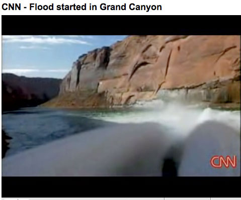
High-volume water releases from Glen Canyon Dam can increase sandbar area and volume, but may also result in large increases in non-native rainbow trout downstream of the dam, according to a new U.S. Geological Survey report released today.

The report, Effects of Three-High Flow Experiments on the Colorado River Ecosystem Downstream from Glen Canyon Dam, Arizona, documents the effects of high-flow experiments (HFEs) on resources in Glen Canyon National Recreation Area and the Grand Canyon National Park. The U.S. Department of the Interior conducted HFEs at Glen Canyon Dam in March 1996, November 2004 and March 2008.

“This important scientific research has paved the way for better management of Glen Canyon Dam to enhance protection of downstream resources,” said Anne Castle, Assistant Secretary for Water and Science in the Department of the Interior. “The report pulls together the results from three different high-flow releases so that such events in the future can be targeted for optimal resource benefits and minimizing adverse effects.”
Grand Canyon sandbars provide habitat for wildlife, serve as camping beaches for recreationists, and supply sand that may preserve vegetation and help protect archaeological sites. High flows also create areas of low-velocity flow, or backwaters, used by young native fishes, including endangered humpback chub.

“Research and long-term monitoring of the effects of three high-flow experiments have allowed scientists to unravel some of the many uncertainties about how these Glen Canyon Dam releases affect downstream river resources,” said Dr. Ted Melis, deputy chief of the USGS Grand Canyon Monitoring and Research Center and the report’s editor. “We believe that the scientific findings presented in the report will allow managers to better plan future flow operations to meet desired resource goals.”

HFEs, also known as artificial or controlled floods, are effective at increasing both sandbar area and volume when they are conducted soon after “new” sand has been supplied to the system by flooding from tributaries downstream of the dam. In the absence of new sand supplies, as was the case in 1996, HFEs may still build sandbars, but only by eroding the lower portions of existing sandbars. In other words, sandbars became higher and not wider in 1996.

According to the report, the best possibility for rebuilding and maintaining sandbars is to time HFEs to follow the seasonal flooding of tributaries downstream of the dam. During years of below-average upper Colorado River Basin precipitation, allowing multiple new sand inputs to accumulate before conducting an HFE would result in the greatest sandbar building, the report said. However, during years of wetter upper basin hydrology, HFEs might be more effective immediately following or even during tributary flooding.

Sandbars are built relatively quickly (hours to a few days) when new sand is available from tributaries, as occurred in 2004 and 2008, but they also tend to erode within days to several months under normal dam operations following an HFE. Despite this ongoing erosion, long-term monitoring indicates that about 75 percent of sandbars measured in Marble and Grand Canyons were larger in October 2008 than in February 1996, before the first HFE was conducted.

The 2008 HFE was followed by large increases in non-native rainbow trout in the Lees Ferry reach, the sport fishery immediately downstream of the dam. These fish moved downstream and into areas that support native fishes, including the area with the largest population of endangered humpback chub.

The eight-fold increase of rainbow trout that occurred in 2008 is of particular note, the report said, because rainbow trout are known predators of young humpback chub and may also compete with native fish for limited food resources. Overall, the studies found that HFEs have had no measurable positive effects on juvenile or adult humpback chub populations.

The report is a product of the Glen Canyon Dam Adaptive Management Program, a federally authorized initiative to ensure the mandate of the Grand Canyon Protection Act of 1992 is met through advances in information and resource management. The USGS Grand Canyon Monitoring and Research Center has responsibility for scientific monitoring and research efforts for the program. The Bureau of Reclamation provides financial support for the program that is derived from hydropower revenues from Glen Canyon Dam operations.

The Bureau of Reclamation recently released for public comment two draft Environmental Assessments (EAs) related to topics addressed by this report (1) Development and Implementation of a protocol for High-Flow Experimental Releases from Glen Canyon Dam, Ariz., 2011 through 2020 and (2) Nonnative Fish Control Downstream from Glen Canyon Dam.

More coverage from New West (David Frey):

“There’s really no way we can expect to have a pre-dam landscape by implementing high flows,” said Paul Grams, a hydrologist with the Grand Canyon Monitoring and Research Center and a co-author of a report released Tuesday that examined the findings of three experiments of high flows from the Glen Canyon Dam stretching back to 1996.

Since Glen Canyon Dam was completed in 1963, it not only trapped the water that used to flow through the canyon lands. It also trapped the sediment that made its way to the Grand Canyon. More than just dirt, this mix of sand, gravel and clays played a key role in forming ecosystems for native plants and animals. The dam also took away the river’s historic ebbs and flows from floods to trickles. These changes in water volume, which helped shape the river, were replaced with a steady flow throughout the year. Changes in temperature, flow and sand contributed to losses of native fish, invasions of nonnative species, the erosion of sandbars and the narrowing of river rapids. In an effort to re-create natural flooding, researchers experimented with high-flow releases from the dam in 1996, 2004 and 2008. They found artificial floods increase the size and number of sandbars downstream, but it’s unclear how long the sandbars can survive under ordinary dam operations.

Scientists found the sandbars are most successful when the releases take place during times of normal flooding, when more sand is flowing from tributaries downstream from the lake. The high flows seem to help native fish, researchers found, but they may also encourage nonnative rainbow trout. That’s good news upstream, where rainbow trout are encouraged for fishermen, but it’s bad news downstream, where the trout can muscle out native species, like the endangered humpback chub. “Sandbars are important,” Grams said. “They’re a resource for river recreationists, a resource for riparian vegetation, riparian ecosystems. The underwater part of sandbars creates habitat for native fish.”

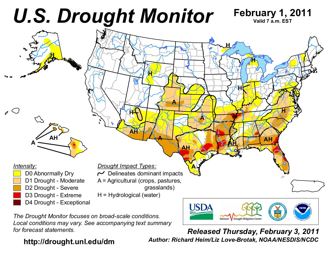
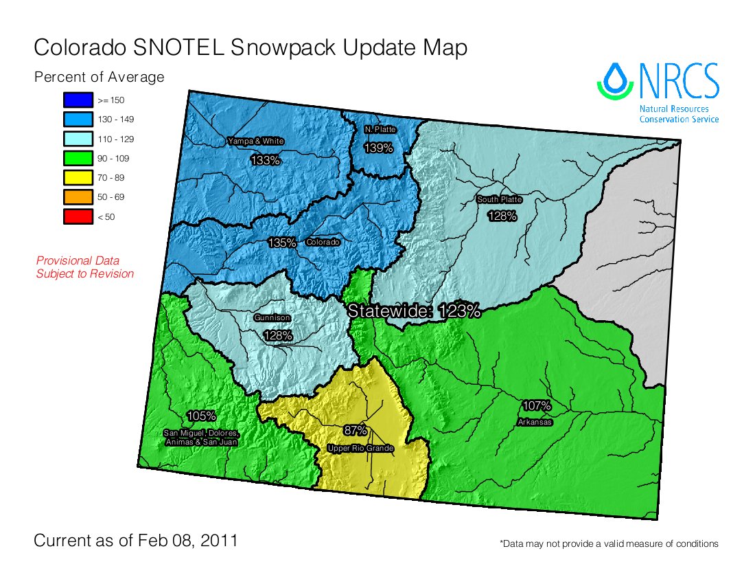
More Colorado River basin coverage here.

CWCB: Next Water Availability Task Force meeting February 16

A picture named usdroughtmonitor02012011

From email from the Colorado Water Conservation Board (Ben Wade):

The next Water Availability Task Force (WATF) is scheduled for Wednesday, February 16, 2011 from 9:00-11am at the Colorado Division of Wildlife, 6060 Broadway, Denver, CO, in the Bighorn Room. A reminder email with the agenda will be sent prior to the meeting.

More CWCB coverage here.

Snowpack news

A picture named snowpackcolorado02082011

From The Pueblo Chieftain (Chris Woodka):

Statewide, the snowpack reached 123 percent of average as the most recent round of storms moved through. That’s a slight improvement from the end of January, a dry month that saw a drop in snowpack. The Arkansas River basin climbed above average in snowpack, although the Lower Ark Valley is entering its third month of severe drought, according to the U.S. Drought Monitor. Meanwhile, the Rio Grande basin remains the driest area of the state, with snowpack at 87 percent. Snow levels increase toward the northern part of the state, with most ski areas reporting 5-8 feet of snow — some are boasting 24 inches of new snow in 72 hours. Some Snotel sites showed levels of well over 100 inches in the northern mountains. In the Roaring Fork basin, which provides supplemental water imports for the Arkansas River, snow levels are at 133 percent of average…

Snowpack in the Upper Arkansas basin is at about 70-90 percent of peak levels (the depth typically reached in mid-April), while it remains at 40-70 percent in the southern mountains, said Pat Edelmann of the Pueblo office of the U.S. Geological Survey.

More coverage from The Pueblo Chieftain:

Snowfall hit the San Juan Mountains hard. Wolf Creek Ski Area reported 23 inches of snow from the storm. In the Sangre de Cristo foothills, spotters for the National Weather Service reported over 10 inches near Crestone and 8.5 inches southeast of Fort Garland.

More coverage from The Colorado Springs Gazette (Matt Steiner):

Through this week, Colorado Springs had received 0.26 inches of precipitation, barely a third of the 0.77 inches it normally gets by early February, said Kyle Mozley, a meteorologist with the National Weather Service in Pueblo…

Usually, it takes 10 inches of snowfall to equal an inch of precipitation, but not when the temperature is below zero like it was last week and in the single digits like Tuesday. “When you get these cold temperatures like we’ve seen, it takes 20 to 30 inches of snow to get one inch of precipitation,” Mozley said…

The snowpack is above average after a series of blizzards on the Western Slope and the snowiest months — March and April — are still ahead. “There’s no reason to be concerned,” Mozley said.

The Natural Resources Conservation Service reports about 120 to 130 percent of normal snowpack in the mountains, which has kept reservoirs almost full. “We’ve had really, really good reservoir levels,” said Patrice Quintero, a Colorado Springs Utilities spokeswoman. “It’s looking like it normally does for this time of year.”

Colorado Foundation for Water Education: Climate Workshop — Ice Lab Tour

A picture named drillingicecoreinantarctica.jpg

From email from the CFWE (Aaron Parker):

On March 11, 2011, the Colorado Foundation for Water Education is hosting the ‘Climate & Colorado’s Water Future’ Workshop; a fun, interactive workshop on climate science in Lakewood, CO where participants will bundle up for an exclusive tour of the National Ice Core Laboratory.

Educators learn to prepare students to think strategically about climate science and receive several hands-on curriculum tools. Secondary teachers can also receive 1/2 continuing education credit from the Colorado School of Mines. Nolan Doesken, State Climatologist, will give a lively talk on how climate may impact Colorado’s water future. We will also learn how climate data is taken from ice cores extracted in polar regions from former NICL Director, Todd Hinkley.

Workshop Fee: $50.00 (includes lunch, books and tour)

View more information and registration here