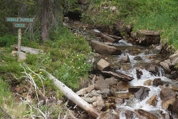
On Jan. 23, the Trump administration finalized a rule that would remove protections for waterways throughout the country, and as much as 70% of Colorado’s water, according to the Colorado Department of Public Health and the Environment…
The new Navigable Waters rule specifies four protected types of waterways: territorial seas and large rivers and lakes; tributaries that flow year-round; lakes and ponds that are connected to larger bodies; and adjacent wetlands. In the West, where many tributaries don’t flow in warm months, and are being drained and diverted due to infrastructure projects, the amount of impacted waterways is likely to be large…
In the face of the Navigable Waters rule and the NEPA rollbacks, it will be up to Western states to ensure appropriate environmental protections are enacted to mitigate the new rules’ impact.
FromThe Grand Junction Daily Sentinel (Dennis Webb):
Denver next week will be the site of one of two public hearings scheduled nationally on controversial proposed changes by the Trump administration regarding how a 50-year-old environmental law is carried out.
The White House Council on Environmental Quality is proposing what it calls an update to the regulations governing how the National Environmental Policy Act is implemented.
The act requires federal agencies to assess the environmental impacts of actions, including public lands management decisions applying to oil and gas leasing and well permitting, grazing and mining, and other uses. The requirement also pertains to construction of roads, bridges, power lines, water projects and other infrastructure, and the act process provides for public input.
The proposal would streamline the act process, consistent with direction from President Trump. This includes creating presumptive two-year time limits for completing environmental impact statements, which on average now take four and a half years to complete, and creating presumptive one-year limits in the case of less-involved environmental assessments.
It also specifies presumptive page limits on these documents. Agencies on average prepare about 170 environmental impact statements a year and about 10,000 environmental assessments.
The proposal also seeks to reduce unnecessary burdens and delays through facilitating the use of environmental assessments versus environmental impact statements, or categorical exclusions from either of these forms of review. Such exclusions are already applied to about 100,000 agency actions a year.
It also would state that analysis of cumulative effects isn’t required under the environmental policy act. Such analysis is sometimes pushed by entities such as conservation and activist groups. A current lawsuit challenging the Bureau of Land Management’s resource management plan for the Grand Junction Field Office alleges a failure to consider cumulative climate impacts of local oil and gas development in combination with other development under the BLM’s national oil and gas program.
Public hearings on the proposed changes are scheduled Tuesday in Denver and Feb. 25 in Washington, D.C.. People were asked to sign up online for free tickets to attend the Denver event, and all tickets for the morning and afternoon sessions were quickly snatched up. That prompted the addition of an evening session, for which tickets also are gone…
In a Natural Resources Defense Council blog, Gilchrist contends the National Environmental Policy Act process has proven important in Colorado, such as in causing the BLM to defer oil and gas leasing in the North Fork Valley in response to public comments, and resulting in the U.S. Forest Service scaling back plans to clearcut aspen on the Grand Mesa, Uncompahgre and Gunnison National Forests.
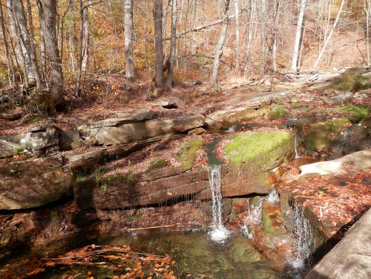
The Trump administration is proposing to redefine a key term in the Clean Water Act: “Waters of the United States.” This deceptively simple phrase describes which streams, lakes, wetlands and other water bodies qualify for federal protection under the law.
Government regulators, landowners, conservationists and other groups have struggled to agree on what it means for more than 30 years. Those who support a broad definition believe the federal government has a broad role in protecting waters – even if they are small, isolated, or present only during wet seasons. Others say that approach infringes on private property rights, and want to limit which waters count.
I study rivers, and served on a committee that reviewed the science supporting the Obama administration’s 2015 Clean Water Rule. This measure, which defined waters of the United States broadly, is what the Trump administration wants to rewrite.
The Trump proposal goes completely against scientists’ understanding of how rivers work. In my view, the proposed changes will strip rivers of their ability to provide water clean enough to support life, and will enhance the spiral of increasingly damaging floods that is already occurring nationwide. To understand why, it’s worth looking closely at how connected smaller bodies of waters act as both buffers and filters for larger rivers and streams.
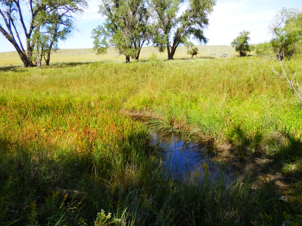
Ephemeral channels like upper Antelope Creek in Arizona flow only after rain or snowfall, but are important parts of larger river systems. Ellen Wohl, CC BY-ND
Parts of a whole
The fact that something is unseen does not make it unimportant. Think of your own circulatory system. You can see some veins in your hands and arms, and feel the pulse in your carotid artery with your finger. But you can’t see the capillaries – tiny channels that support vital processes. Nutrients, oxygen and carbon dioxide move between your blood and the fluids surrounding the cells of your body, passing through the capillaries.
And just because something is abundant does not reduce each single unit’s value. For example, when we look at a tree we tend to see a mass of leaves. The tree won’t suffer much if some leaves are damaged, especially if they can regrow. But if it loses all of its leaves, the tree will likely die.
These systems resemble maps of river networks, like the small tributary rivers that feed into great rivers such as the Mississippi or the Columbia. Capillaries feed small veins that flow into larger veins in the human body, and leaves feed twigs that sprout from larger branches and the trunk.
A conservation biologist explains how the wetlands and backwaters of Oregon’s Willamette River system were critical to rescuing the Oregon chub, one of this valley’s most endangered fishes, from near extinction.
Microbes at work
Comparing these analogs to rivers also is apt in another way. A river is an ecosystem, and some of its most important components can’t be seen.
Small channels in a river network are points of entry for most of the materials that move through it, and also sites where potentially harmful materials can be biologically processed. The unseen portions of a river below the streambed function like a human’s liver by filtering out these harmful materials. In fact, this metaphor applies to headwater streams in general. Without the liver, toxins would accumulate until the organism dies.
As an illustration, consider how rivers process nutrients such as nitrogen and phosphorus, which are essential for plant and animal life but also have become widespread pollutants. Fossil fuel combustion and agricultural fertilizers have increased the amount of nitrogen and phosphorus circulating in air, water and soil. When they accumulate in rivers, lakes and bays, excess nutrients can cause algal blooms that deplete oxygen from the water, killing fish and other aquatic animals and creating “dead zones.” Excess nitrogen in drinking water is also a serious human health threat.
River ecosystems are full of microbes in unseen places, such as under the roots of trees growing along the channel; in sediments immediately beneath the streambed; and in the mucky ooze of silt, clay, and decomposing leaves trapped upstream from logs in the channel. Microbes can efficiently remove nutrients from water, taking them up in their tissues and in turn serving as food for insects, and then fish, birds, otters and so on. They are found mainly in and around smaller channels that make up an estimated 70 to 80 percent of the total length of any river network.
Water does not necessarily move very efficiently through these small channels. It may pond temporarily above a small logjam, or linger in an eddy. Where a large boulder obstructs the stream flow, some of the water is forced down into the streambed, where it moves slowly through sediments before welling back up into the channel. But that’s good. Microbes thrive in these slower zones, and where the movement of dissolved nutrients slows for even a matter of minutes, they can remove nutrients from the water.
Flood control and habitat
Other critical processes, such as flood control, take place in small upstream river channels. When rain concentrates in a river fed by numerous small streams, and surrounded by bottomland forests and floodplain wetlands, it moves more slowly across the landscape than if it were running off over land. This process reduces flood peaks and allows more water to percolate down into the ground. Disconnect the small streams from their floodplains, or pave and plow the small channels, and rain will move quickly from uplands into the larger channels, causing damaging floods.
These networks also provide critical habitat for many species. Streams that are dry much of the year, and wetlands with no surface flow into or out of them, are just as important to the health of a river network as streams that flow year-round.
Marvelously adapted organisms in dry streams wait for periods when life-giving water flows in. When the water comes, these creatures burst into action, with microbes removing nitrate just as in perennially flowing streams. Amphibians move down from forests to temporarily flooded vernal wetlands to breed. Tiny fish, such as brassy minnows, have waited out the dry season in pools that hold water year-round. When flowing water connects the pools, the minnows speed through breeding and laying eggs that then grow into mature fish in a short period of time.
The Arikaree River in eastern Colorado is an intermittent stream that supports brassy minnow, a species of concern in the state. Ellen Wohl, CC BY-NC
Scientific sleuthing with chemical tracers has shown that wetlands with no visible surface connection to other water bodies are in fact connected via unseen subterranean pathways used by water and microbes. A river network is not simply a gutter. It is an ecosystem, and all the parts, unseen or seen, matter. I believe the current proposal to alter the Clean Water Act will fundamentally damage rivers’ ability to support all life – including us.
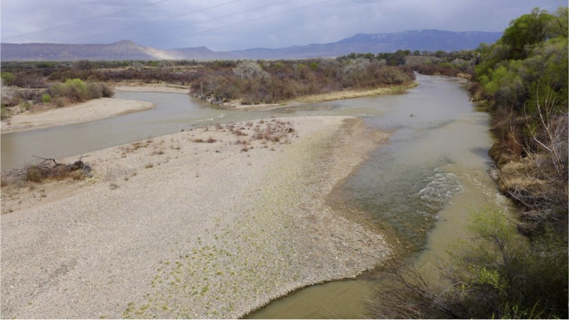
Through the release of water it owns in Ruedi Reservoir, Garfield County will help endangered fish species in an often-depleted section of the Colorado River.
Garfield County will lease 350 acre-feet of water annually over the next five years to the Colorado Water Conservation Board under the CWCB’s instream-flow program. The water will bolster flows July through October in the 15-mile reach of the Colorado River near Grand Junction, home to the endangered humpback chub, bonytail, razorback sucker and Colorado pikeminnow. The CWCB board approved Garfield County’s offer at its meeting last week in Westminster.
Garfield County owns 400 acre-feet a year of Ruedi water as a backup source for the county, municipalities and other water users within its service area. Since the county does not immediately need the water, it will lease the water to the CWCB for five years at $40 an acre-foot for the first year and $45 an acre-foot for the second year. The price would go up in years three through five by 2% annually. The maximum price the CWCB would pay for the water is $14,000 in 2020 and $78,915 over the five years of the lease.
Water from Ruedi Reservoir flows down the Fryingpan River and into the Roaring Fork, which flows into the Colorado River at Glenwood Springs.
“We are really appreciative that Garfield County stepped up and offered to lease the water,” said Linda Bassi, CWCB’s stream- and lake-protection chief. “You never know what kind of water year we are going to have, so it’s great to have an extra supply to send down to the reach for those fish.”
The blue expanse of Ruedi Reservoir as seen from the air. Students with the Carbondale-based Youth Water Leadership Program took to the air with EcoFlight to see how people have modified water in the Roaring Fork watershed. Garfield County is leasing 350 acre-feet of water it owns in Ruedi Reservoir to help bolster flows in the Colorado River for endangered fish. A section of fish habitat known as the 15-mile reach often has low flows in late summer because of two large upstream irrigation diversions. Photo credit: Heather Sackett/Aspen Journalism
Preserving Fryingpan fishing
Late summer, flows in the 15-mile reach are often lower than what is recommended by the U.S. Fish and Wildlife Service for healthy fish habitat mainly because of two large upstream irrigation diversions: DeBeque Canyon’s Grand Valley Project, known as the Roller Dam, and Palisade’s Grand Valley Irrigation Canal.
Gail Schwartz, who represents the Colorado River mainstem, Fryingpan and Roaring Fork region on the CWCB board, reminded staffers of the need to coordinate flows out of Ruedi to preserve conditions for anglers. When flows exceed about 300 cubic feet per second, it becomes difficult to wade and fish the Fryingpan’s popular Gold Medal Fishery waters. At critical wading flows of 250 to 300 cfs, Colorado Parks and Wildlife recommends releases be capped at 25 cfs to avoid dramatic changes for anglers.
“We want to support the economy and the recreation on the Fryingpan and we want to support the success of the 15-mile reach for the species,” Schwartz said.
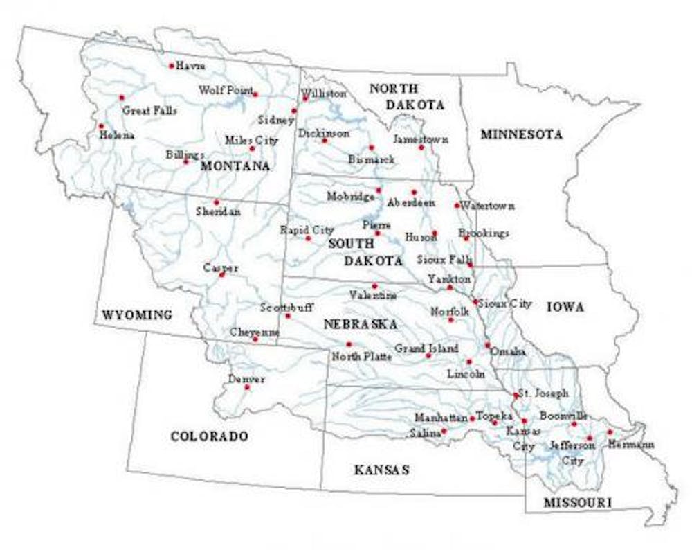
This map shows the 15-mile reach of the Colorado River near Grand Junction, home to four species of endangered fish. Water from Ruedi Reservoir flows down the Fryingpan River and into the Roaring Fork, which flows into the Colorado River in Glenwood Springs. Map credit: CWCB
More fish water
At its March meeting, the CWCB board will consider another lease of Ruedi water for endangered fish. The Ute Water Conservancy District, which provides water to about 80,000 people in the Grand Junction area, is offering to renew its lease of 12,000 acre-feet of water it stores in Ruedi Reservoir. The CWCB could lease the water at $20 an acre-foot for 2020, at a total cost of $240,000.
Aspen Journalism collaborates with The Aspen Times and other Swift Communications newspapers on coverage of water and rivers. This story was published in the Feb. 6 edition of The Aspen Times.
Fryingpan River downstream of Ruedi Reservoir. Photo credit Greg Hobbs