
From Pitkin County via the Aspen Daily News:
Pitkin County and the city of Aspen will roll out preliminary floodplain maps to the public at an open house next week.
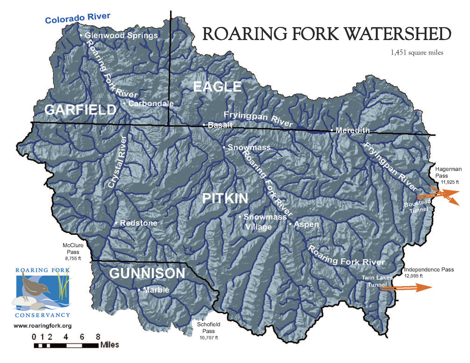
The new maps, also known as flood insurance rate maps, had not been updated since 1987. The latest effort was the result of an extensive, multiyear study of the Roaring Fork watershed, and surrounding creeks and drainages, according to a Pitkin County press release.
“Floodplains change over time, and with that the risk of flooding can change for people who own property in floodplains,” said Lance Clarke, the county’s assistant director of community development.
The unveiling of the maps is scheduled for Tuesday, Sept. 29, from 5 to 7 p.m. in the Plaza 1 meeting room, 530 East Main St. in Aspen.
At the public event, participants will be able to see their properties online using GIS technology with a floodplain map overlay. Property owners will have the opportunity to review the maps with advice and counseling by FEMA, Colorado Water Conservancy officials and flood insurance experts.
The new maps are preliminary, and FEMA has not yet adopted them. Officials want local residents and business owners to review the drafts to identify any concerns or questions.
Experts will be available to explain what should be done if properties are located in a floodplain and what property owners can do to protect their home or business from the consequences of a flood.
“This is a rare opportunity for local property owners to meet one-on-one with FEMA officials and insurance experts to find out how these new maps may affect their property,” Clarke said.
In 2009, officials with the Federal Emergency Management Agency recommended the new study to the city and county. FEMA contributed 75 percent of the $517,220 price tag. The remainder of the cost was funded by grants from Pitkin County Healthy Rivers, the city of Aspen, Pitkin County Open Space and Trails, the Colorado Water Conservation Board and an in-kind contribution from the Pitkin County GIS Department.
The public can access the preliminary maps on FEMA’s website: https://msc.fema.gov/portal.