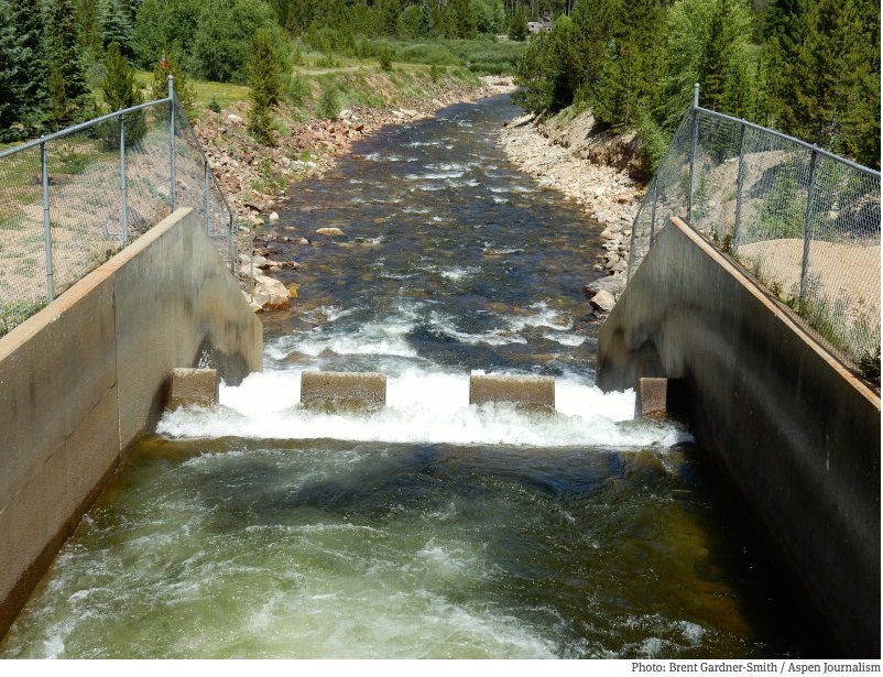
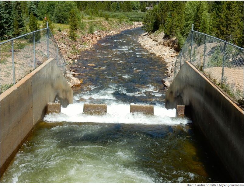
Click the link to read the article on the Aspen Journalism website (Heather Sackett):
October 22, 2025
A group of recreation advocates are hoping Colorado lawmakers will settle the state’s legal gray area surrounding public river access. The Colorado Stream Access Coalition is fighting for the public’s right to use the state’s waterways for recreation, a right they say is guaranteed in the Colorado Constitution.
“Our position is that under the Colorado Constitution, it’s always been understood that there was a public easement,” said Mark Squillace, a law professor at the University of Colorado Boulder and an expert on water and natural resources policy. “And if there’s a public easement, even though it’s private property, the public gets to use it. We would like to see legislation that basically guarantees the right to both wade and float through private property.”
Squillace was referring to a clause in the state constitution that declares all unappropriated water in every natural stream to be the property of the public and dedicated to the use of the people of the state.
Kestrel Kunz, southern Rockies protection director at American Whitewater, testified at the Water Resources Committee in August, asking legislators to guarantee public access to rivers for all Coloradans, while respecting landowners’ property rights. Kunz said American Whitewater gets regular reports of conflicts between boaters and property owners.
American Whitewater is seeking legal public protections for boating on Colorado’s rivers, to portage around hazards and to scout when needed.
“Colorado offers no clarity, no protection and no certainty for landowners or the public,” Kunz said. “That lack of clarity is dangerous.”
The issue of stream access highlights a basic tension in Colorado’s laws and values: Are rivers just another category of property that can be privately owned and fenced off? Or are they so central to the state’s culture, identity and outdoor recreation economy that they should be considered public resources open to public use?
“There are a lot of very wealthy landowners in this state that are strongly opposed to the public having any rights in what they consider to be their rivers,” Squillace said. “And we don’t believe they own the rivers. We think those are public resources that should be held in common for all the people to use.”

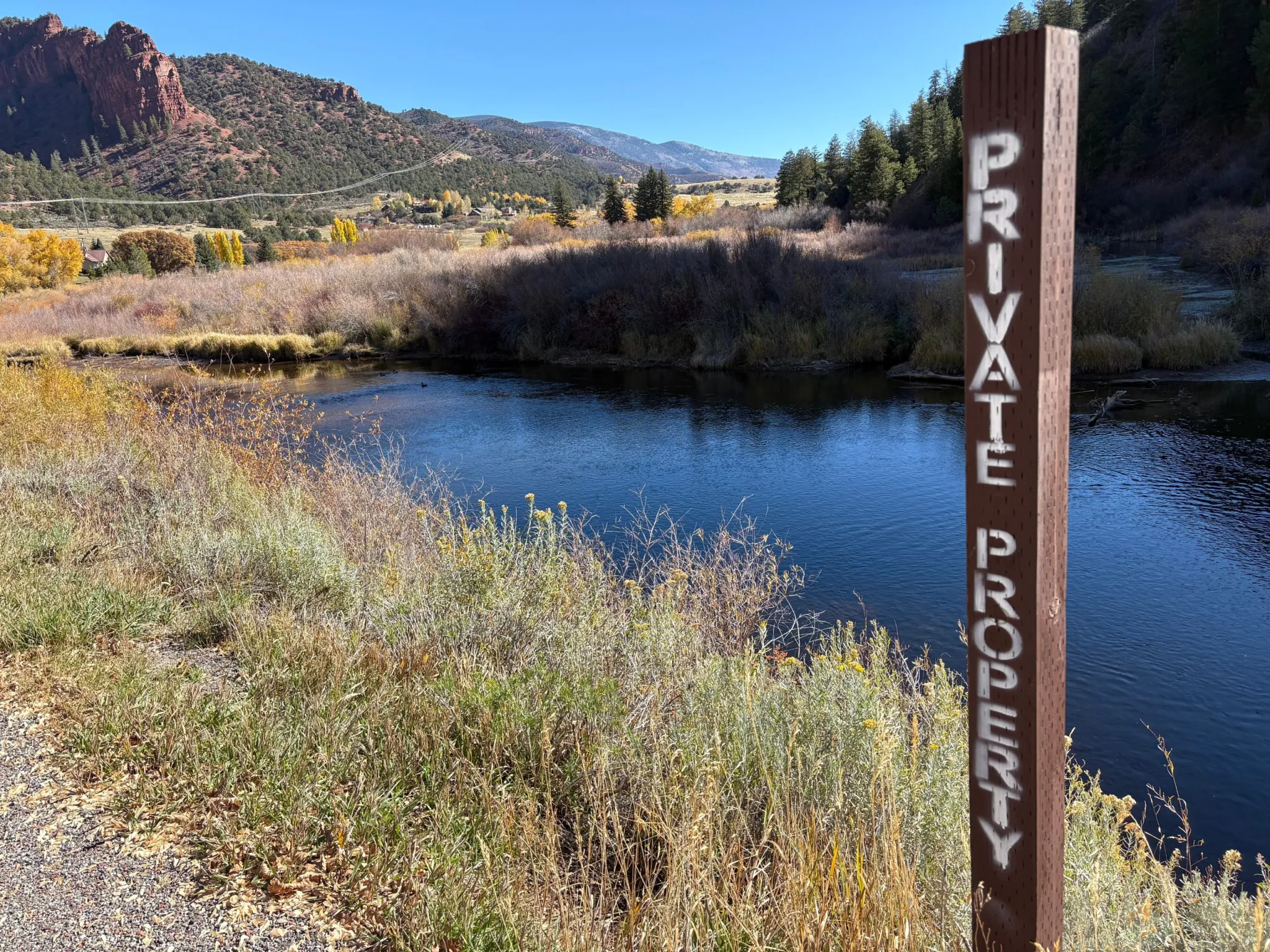
The public’s right to use waterways was codified in a 19th century U.S. Supreme Court decision that said states own the beds of “navigable” rivers, meaning rivers that were used for commerce at the time of statehood. But Colorado does not consider any of its rivers to be navigable, meaning the streambeds belong not to the state — and therefore the public — but to adjacent property owners. A 1979 Colorado Supreme Court decision in People v. Emmert ruled on the side of property owners, saying that the public could not float through private property.
A subsequent Colorado attorney general opinion said boaters can float through private property, and as long as they don’t touch the streambed or banks, they won’t be charged with criminal trespass. But stream-access supporters say this informal policy needs to be clarified into law and should also make allowances for boater safety.
Kent Vertrees, a board member and staffer for Friends of the Yampa, said any new law should make it OK for people to get out of their boats to scout hazards and rapids, and portage around obstacles without fear of getting in legal trouble or being harassed by landowners.
“If there is a new tree that’s fallen or something that’s blocking such as a fence, I believe I can get out of the river to safely get around,” he said. “All I’m doing is portaging for this safety element. And that’s the gray area that needs to be figured out.”
Vida Dillard, president of the Roaring Fork Kayak Club, agrees. Her organization is part of the coalition supporting clarity around stream-access laws. The club, which has 53 active memberships, focuses on improving access to the sport for everyone, especially beginners. She said situations such as helping a swimmer or scouting could cause tensions with landowners, and that uncertainty disproportionately affects newcomers to kayaking.
“We teach our students to scout hazards and make really conservative choices,” she said. “And if you’re afraid you’re going to be trespassing or have a confrontation, it might make you less likely to hike out or make choices on the river that you need to make to be safe.”
Wading into murky waters
According to Squillace, stream access is ripe for legislation because of the case of Roger Hill, a fly fisherman on the Arkansas River, which thrust the issue into the national spotlight.
Hill had baseball-size rocks thrown at him by a property owner and later sued the state on the basis that he believed the river was navigable when Colorado became a state in 1876, and therefore the streambed he was standing on while casting his line was public. But the Colorado Supreme Court ruled in June 2023 that Hill had no legal standing in the case.
“I think it reflects the controversial nature of this issue,” Squillace said. “I think maybe the court was trying to duck the hard question of finally declaring that maybe the Arkansas River is navigable, in fact, and so should be open to public access.”
Coalition members will have to address a widening schism in their membership: those who think any new legislation should include the right of anglers, such as Hill, to wade and those who think it should remain more narrowly focused on the right to float. Some see the right to wade as an additional, expanded use and is where some landowners draw the line.
American Whitewater recently left the coalition and together with Colorado Whitewater and the American Canoe Association, is pursuing legislation that would grant just the right to float. Vertrees said the right to float and the right to wade are two separate issues that shouldn’t be lumped together.
“I personally cannot support [the right to wade] because I believe it will tank the whole thing,” he said. “I just personally believe that it’s going to be hard to do them both at once.”
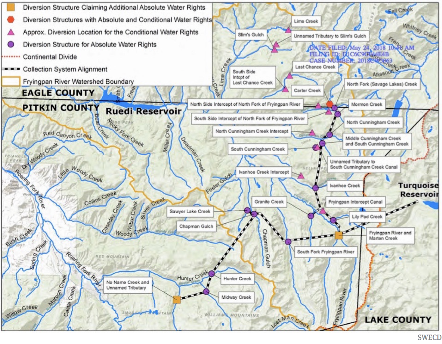
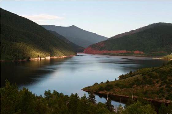
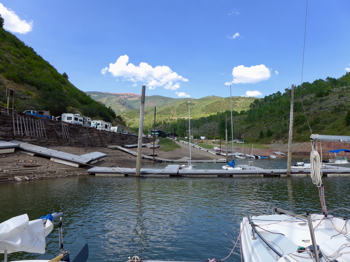
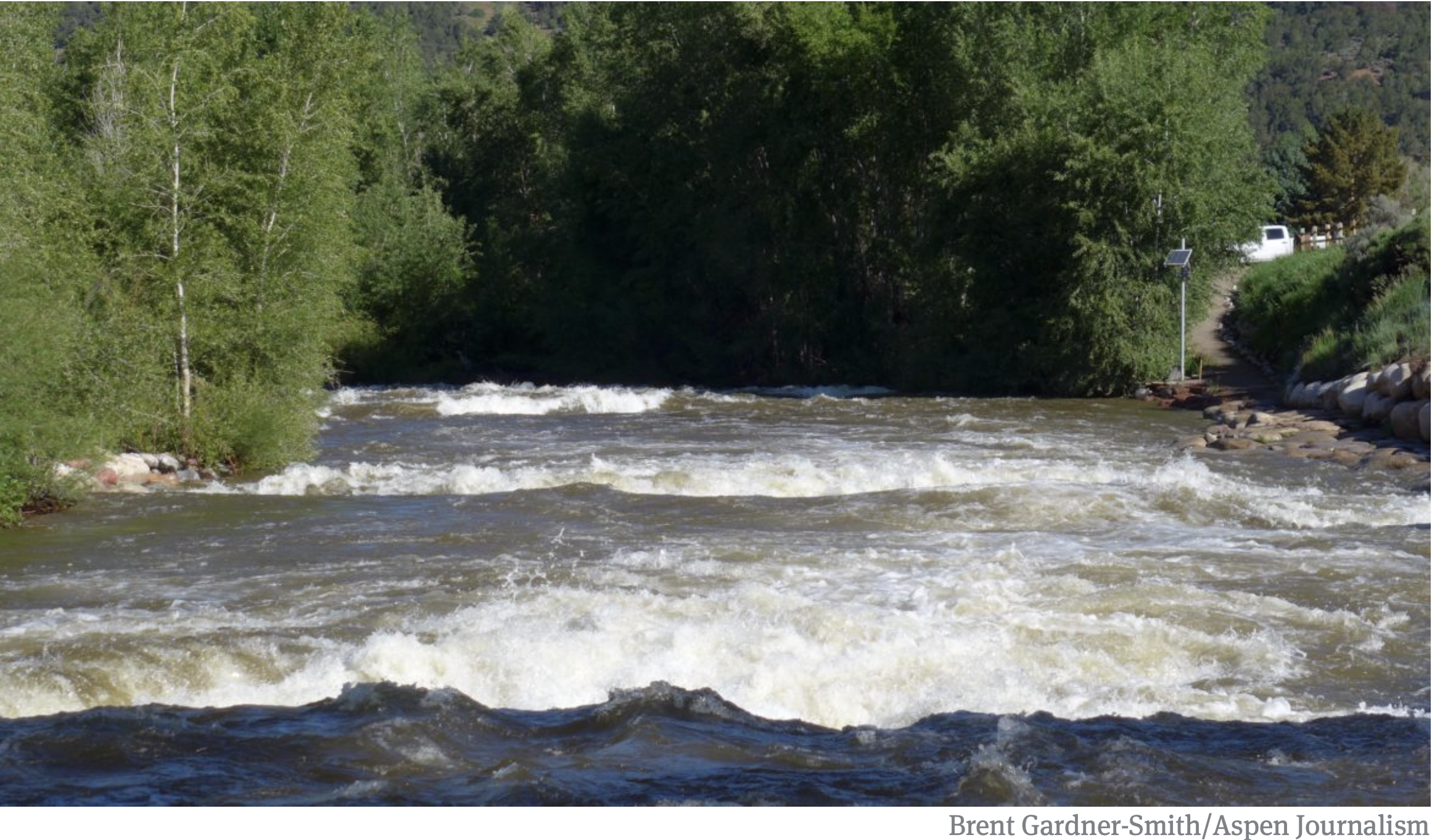
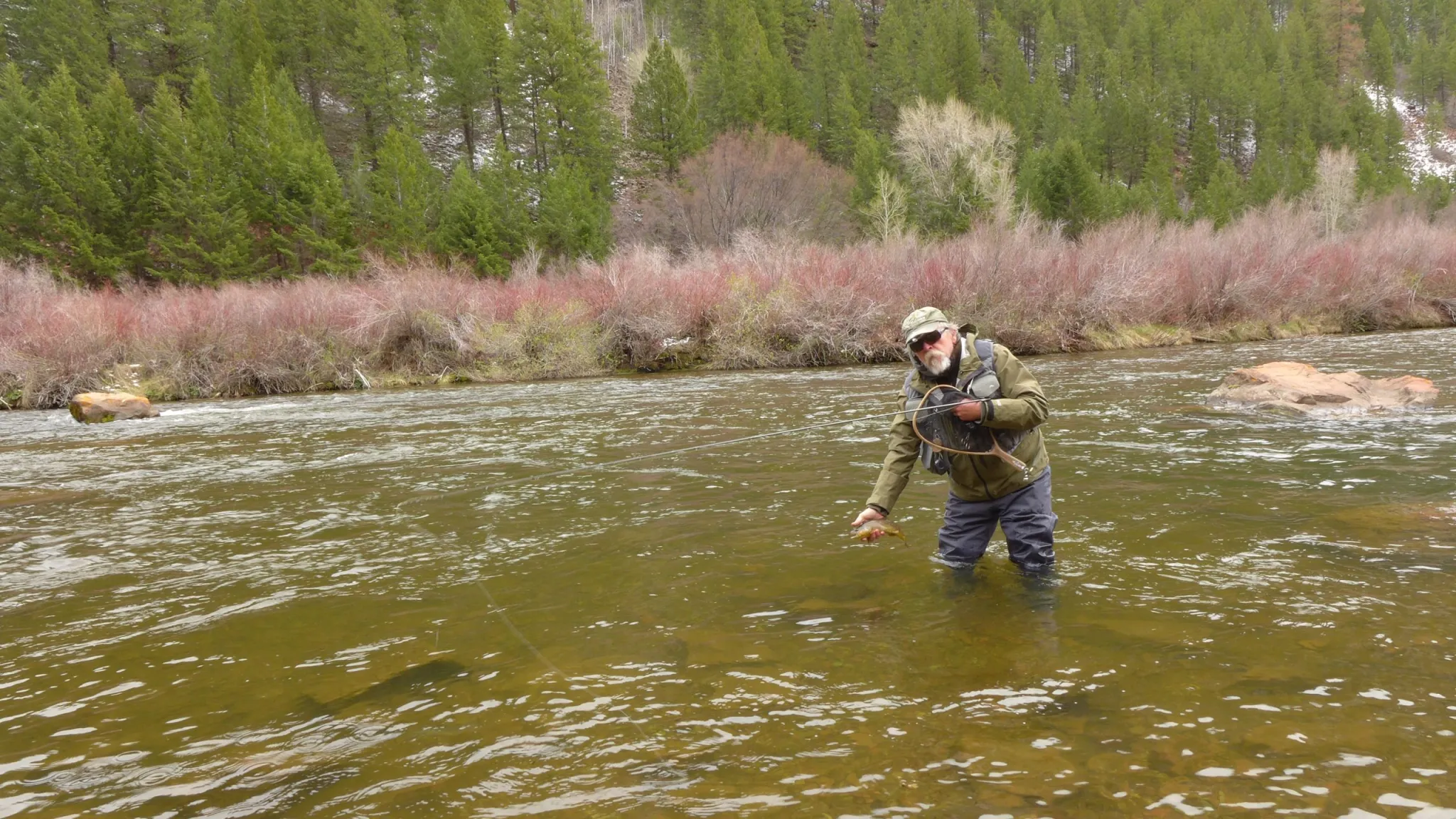
Anglers want to be able to walk up and down a streambed to fish, but only after entering the river through a public access point and not trespassing across private property to get there. This right to wade is particularly relevant to the Fryingpan River, which is a popular Gold Medal trout fishery where only about half of the river below Ruedi Reservoir is public and no trespassing signs line stretches of the waterway.
More education needed
Opponents of a law expanding access say that this is a private property issue and that landowners have the right to exclude others from their property. Garin Vorthmann testified on behalf of the Colorado Farm Bureau at the Water Resources Committee meeting in August. She said she was also working with a broad coalition of landowners, private businesses and real estate agents.
“Depriving a landowner of the right to exclude people from their private property without just compensation is considered a taking,” she told lawmakers. “Legislation that would change the ownership of the bed or bank to be public or owned by the state obligates the government to provide just compensation to the landowner and will embroil the state in expensive litigation.”
Other experts say addressing this issue through legislation might only make it worse. A report released in September by the conservative-leaning Common Sense Institute said that “the path to clarification is fraught with innumerable bad outcomes where both sides and ultimately the state of Colorado will be worse off than they are now” and that “attempts by either side to expand those rights at the expense of the other are likely to create more problems than they solve.”
Greg Walcher, former director of the Colorado Department of Natural Resources and co-author of the report, said a better approach would be a public education campaign so that boaters know exactly where they are allowed to float: through land that is already owned by the state or federal government and therefore public. The study notes the importance of rivers to Colorado’s outdoor recreation economy, and the millions that the Great Outdoors Colorado (GOCO) grant program has invested in stream access and conservation projects in recent years.
“The floating industry has become huge in Colorado, so we need to find a solution,” Walcher said. “And part of that is making sure people understand where they can and can’t float.”
Proponents of stream access agree that education is important, and to that end, Steamboat Springs-based advocacy organization and content studio Rig to Flip is releasing a short film by Cody Perry called “Common Waters,” which features the Hill case and outlines the issue as they see it: that Colorado is one of the worst states for providing public access to streams, and in a place that prides itself on an outdoor lifestyle, increased access and clarity on the rules are needed.
With proponents still hashing out differing options on what a policy proposal should call for, any new legislation for the 2026 session won’t be introduced by the Water Resources and Agricultural Review Committee, but there’s still a chance lawmakers could take it up. Coalition members say they are continuing to meet with stakeholders and figuring out the best way forward.
“At American Whitewater, we believe that people are really only going to protect the resource if they have the opportunity to explore that place and understand and experience a river,” Kunz said. “So our hope is that by allowing people to access these rivers in Colorado that we will ensure future generations of river stewards.”