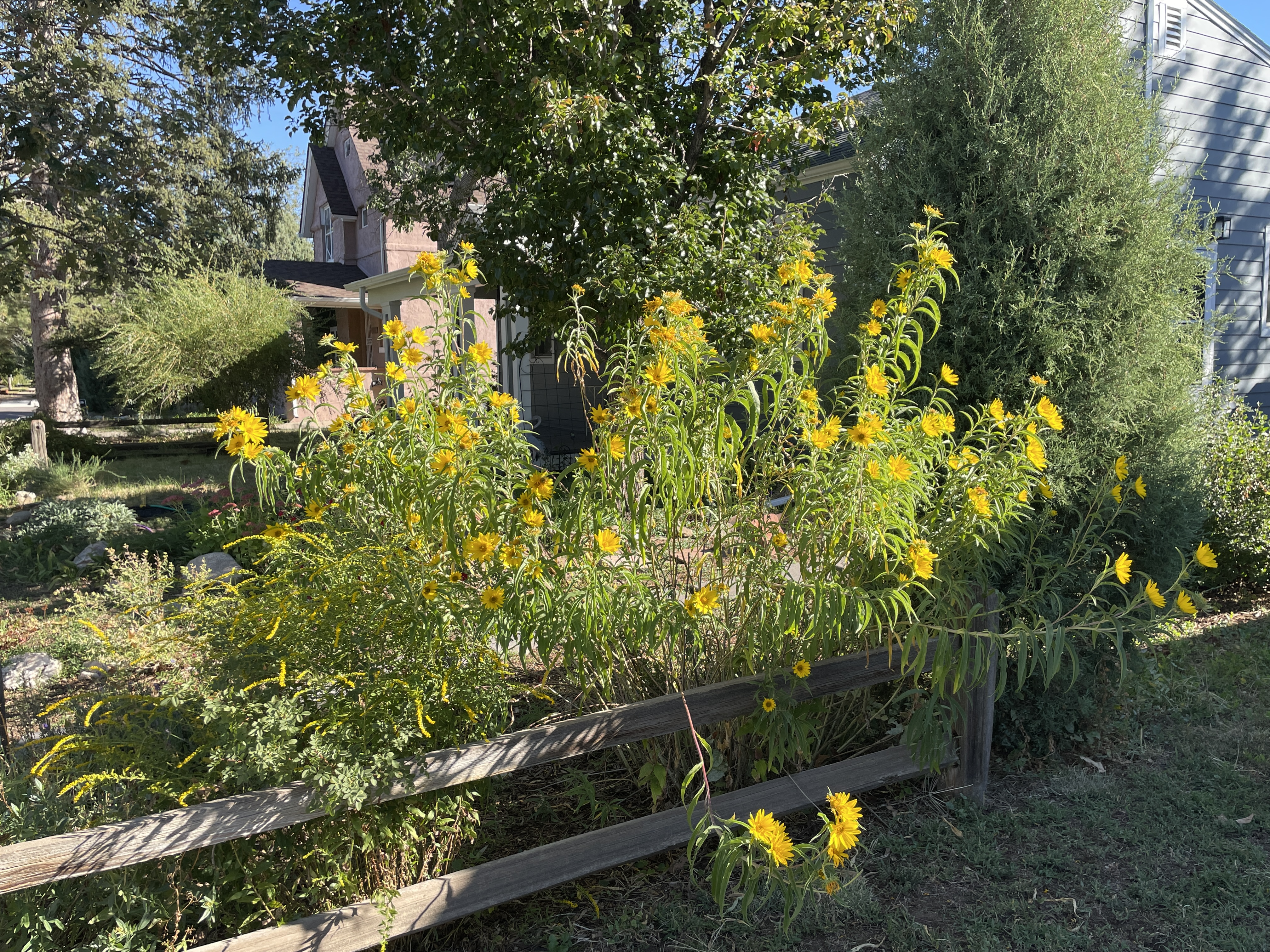
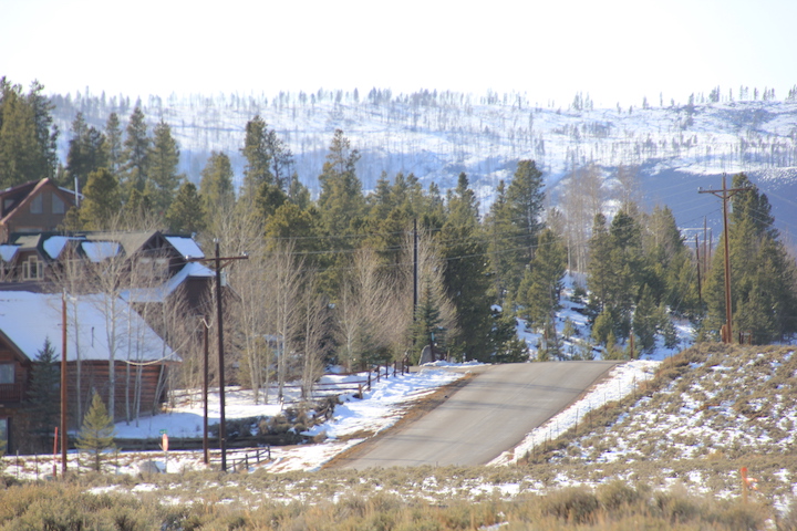
Mrs. Gulch’s Maximilian sunflowers September 24, 2023. Helianthus maximiliani is a North American species of sunflower known by the common name Maximilian sunflower. Helianthus maximiliani is native to the Great Plains in central North America, and naturalized in the eastern and western parts of the continent. It is now found from British Columbia to Maine, south to the Carolinas, Chihuahua, and California. The plant thrives in a number of ecosystems, particularly across the plains in central Canada and the United States. It is also cultivated as an ornamental
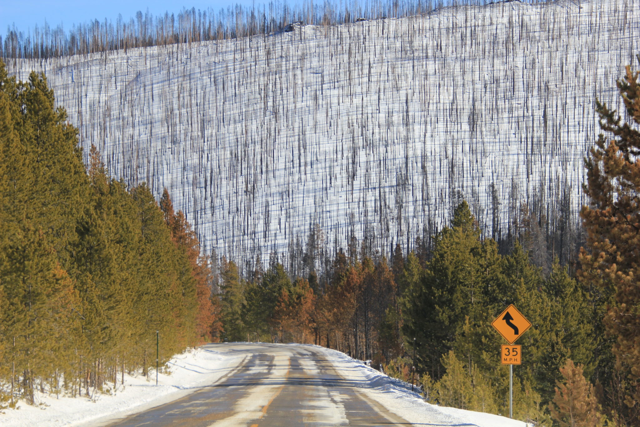
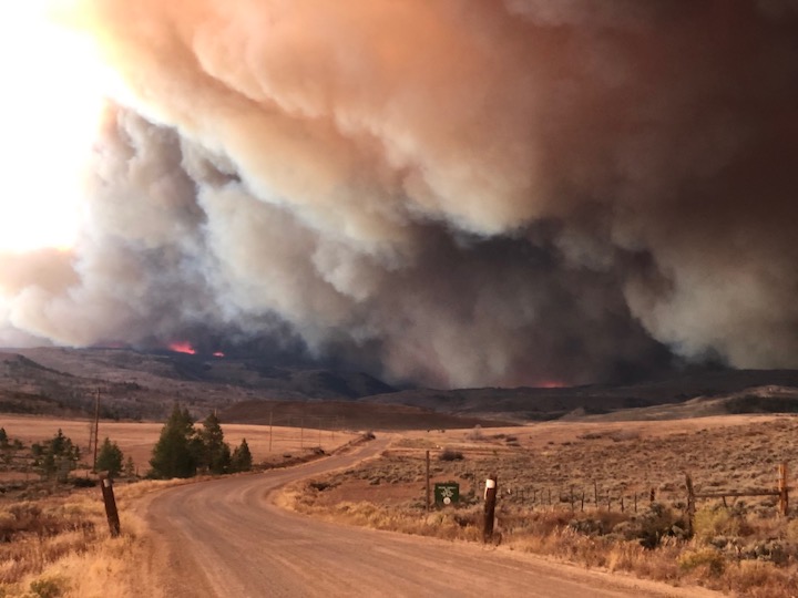
A burnt sign on Larimer County Road 103 near Chambers Lake. The fire started in the area near Cameron Peak, which it is named after. The fire burned over 200,000 acres during its three-month run. Photo courtesy of Kate Stahla via the University of Northern Colorado
Click the link to read the article on the Fort Collins Coloradoan (Mile Blumhardt). Here’s an excerpt:
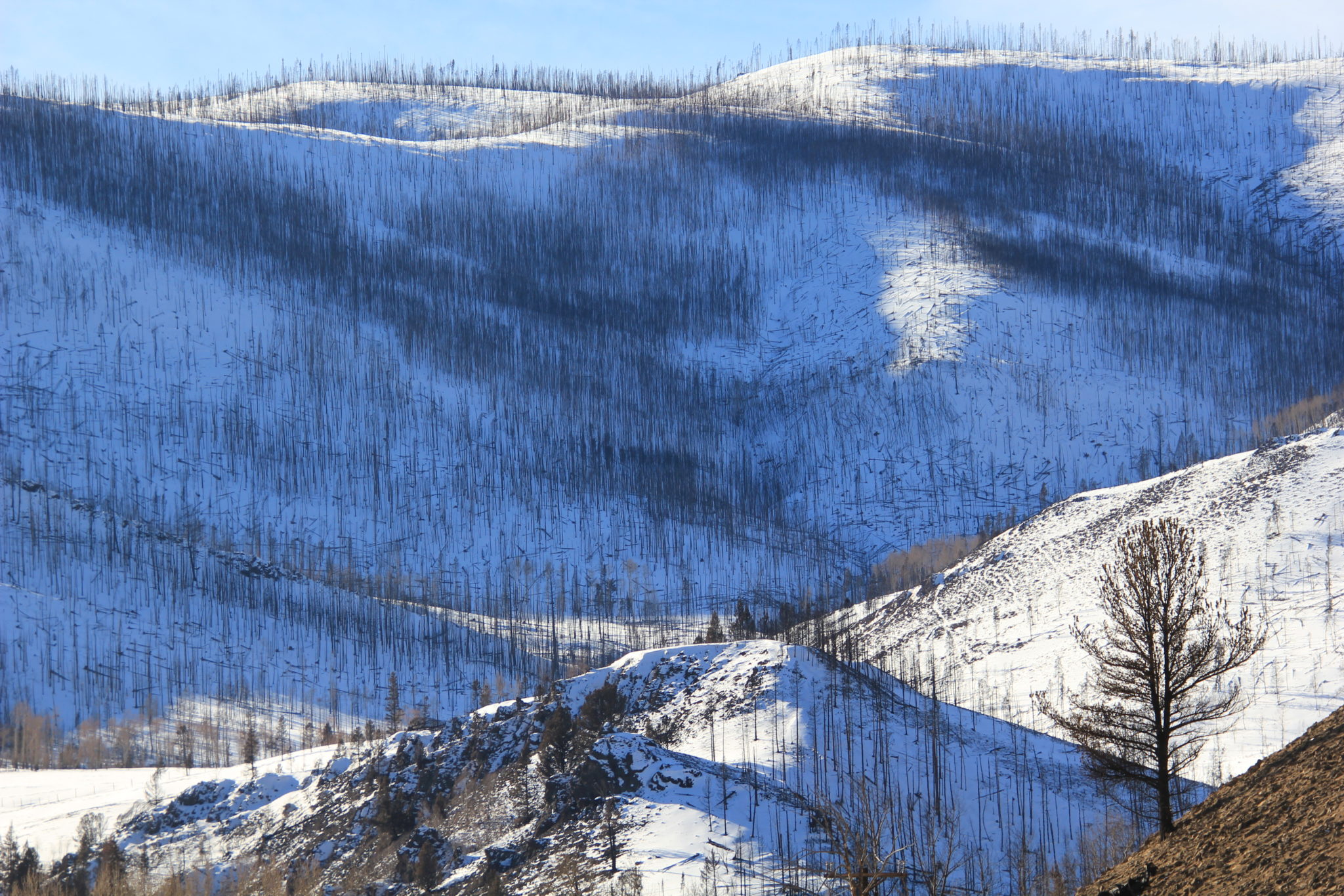
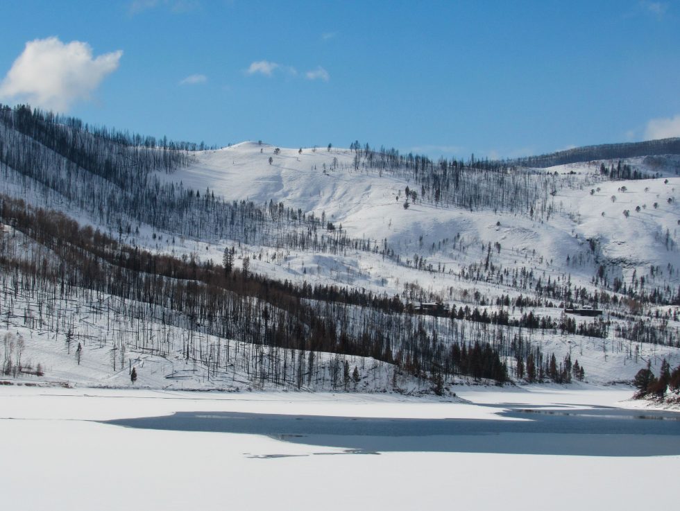
Recent flights over Colorado’s historic Cameron Peak and East Troublesome fire burn scars revealed a troubling observation: Three years after the state’s largest wildfires scorched nearly 400,000 acres, nearly half of those acres are still so severely burned that little to no regrowth has taken place. That has caused concern among a cadre of local researchers from federal and state governmental agencies, Colorado State University, conservation groups and private industry studying the vast scar from 2020.
Sarah Beck, Arapaho and Roosevelt National Forests fire recovery coordinator, said more precise aerial mapping of the scar will be forthcoming, but for now, large areas of the burn scar are not seeing expected revegetation recovery.
“These patches of high burn severity are so large there is a real possibility of recovery taking 50 years or longer,” she said. “It’s really concerning. I don’t think we have seen this in North America. I think this is a new condition in complexity.”
[…]
With the enormity and complexity of post-fire impacts still looming three years later to human safety, critical water supplies, recreational facilities and fish and wildlife, the U.S. Forest Service has begun a new approach. In August, it announced a partnership with the nonprofit conservation organization American Forests to develop a longer-term reforestation strategy for the burn scars. The planning will continue to be developed collaboratively with input from community-connected partners, research institutions and local and state agencies.
“The problem is really big, and it is not something we have the capacity to tackle alone,” Beck said.
A burnt sign on Larimer County Road 103 near Chambers Lake. The fire started in the area near Cameron Peak, which it is named after. The fire burned over 200,000 acres during its three-month run. Photo courtesy of Kate Stahla via the University of Northern Colorado
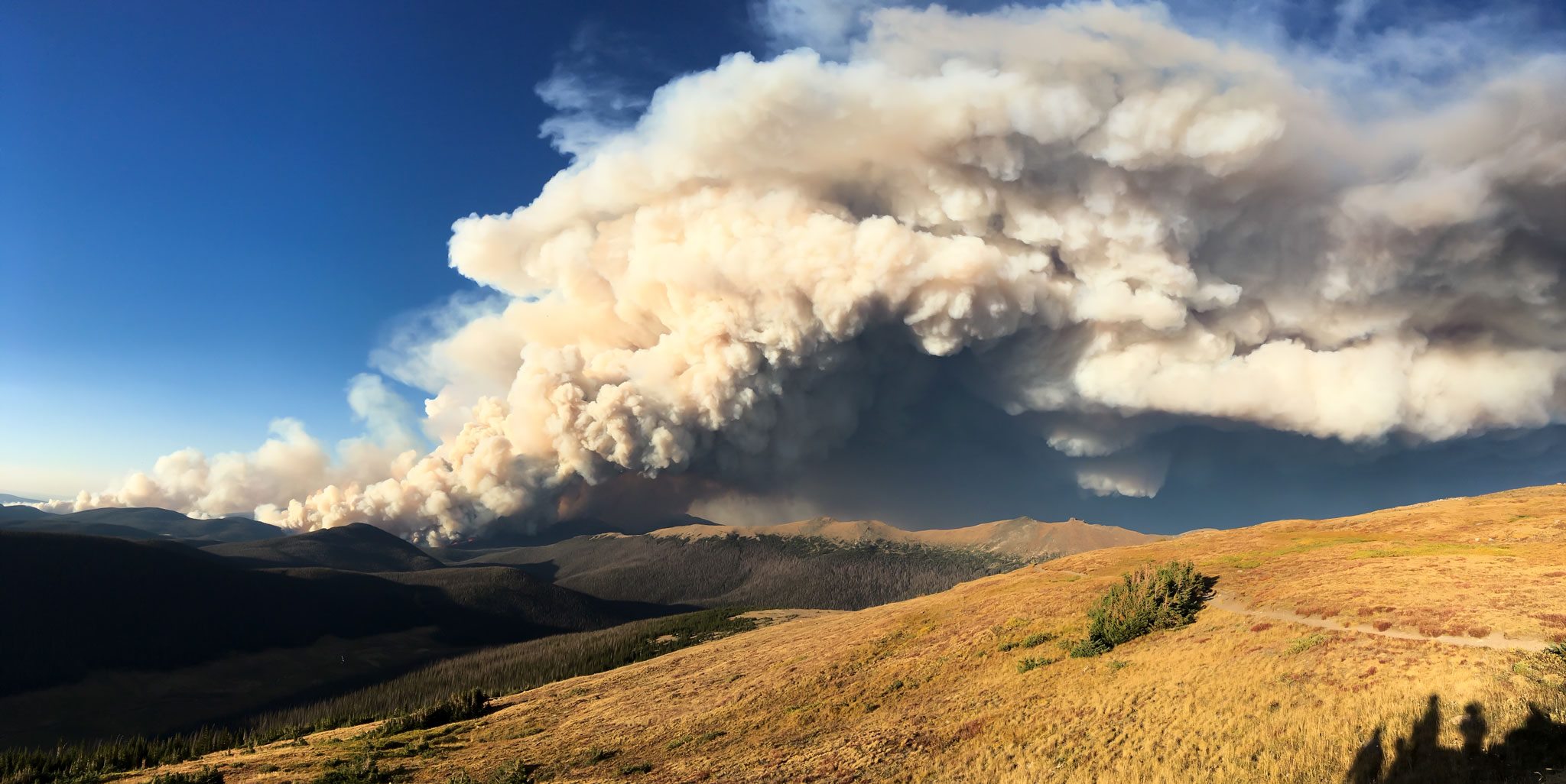
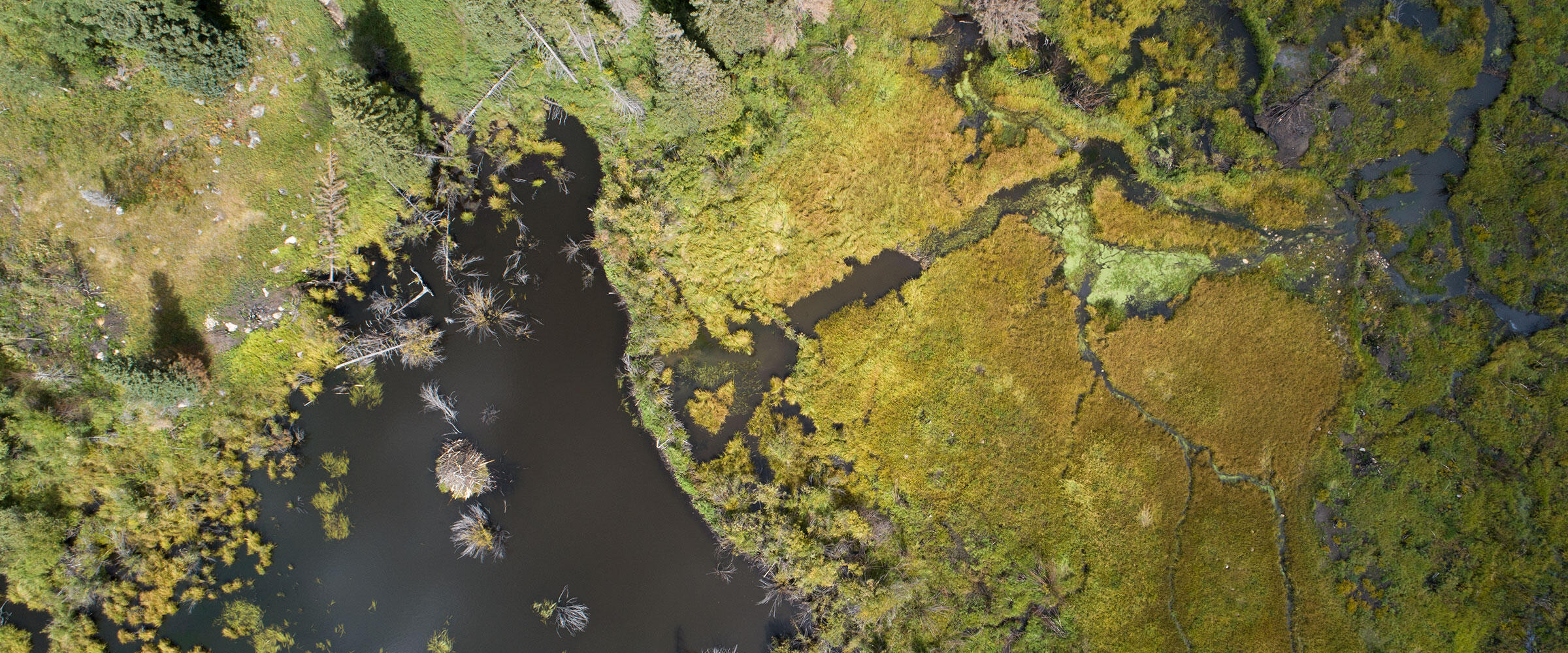
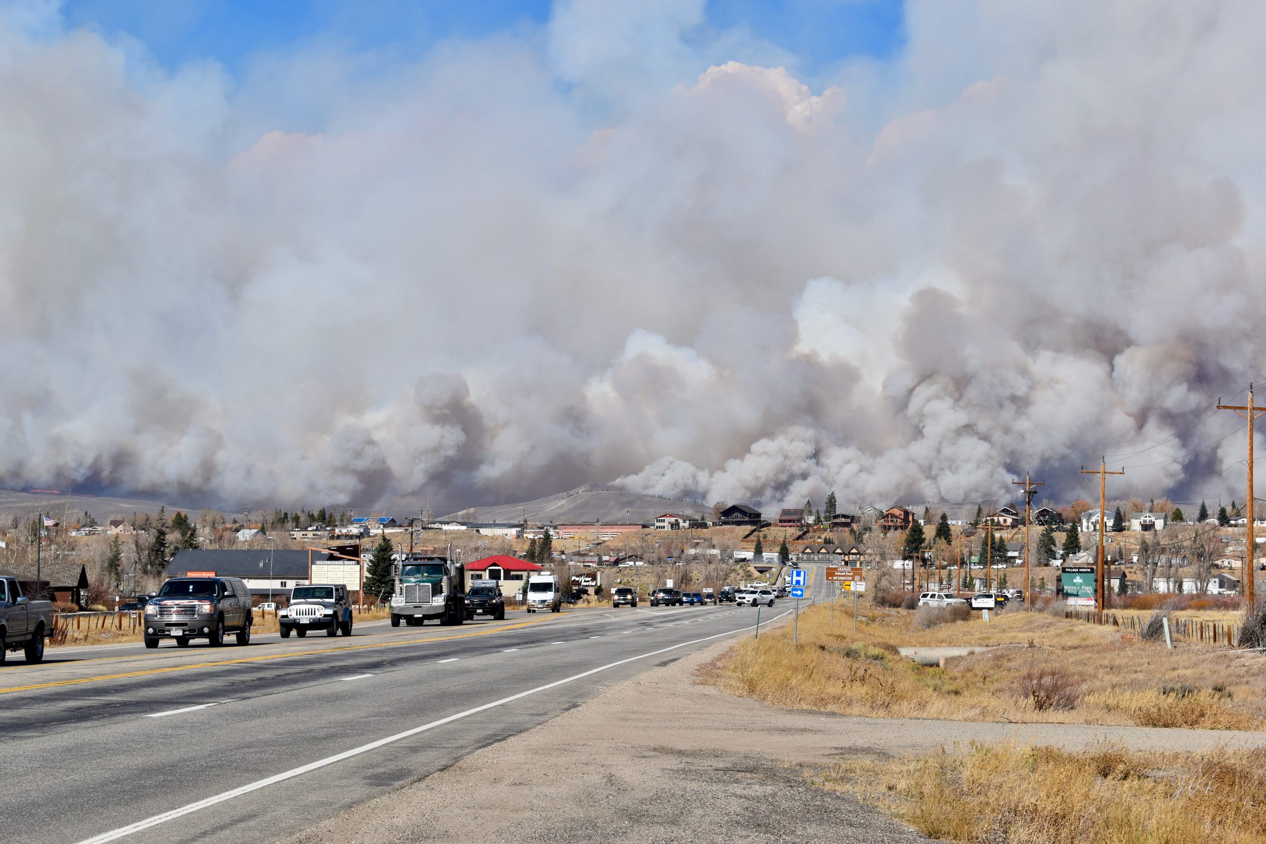
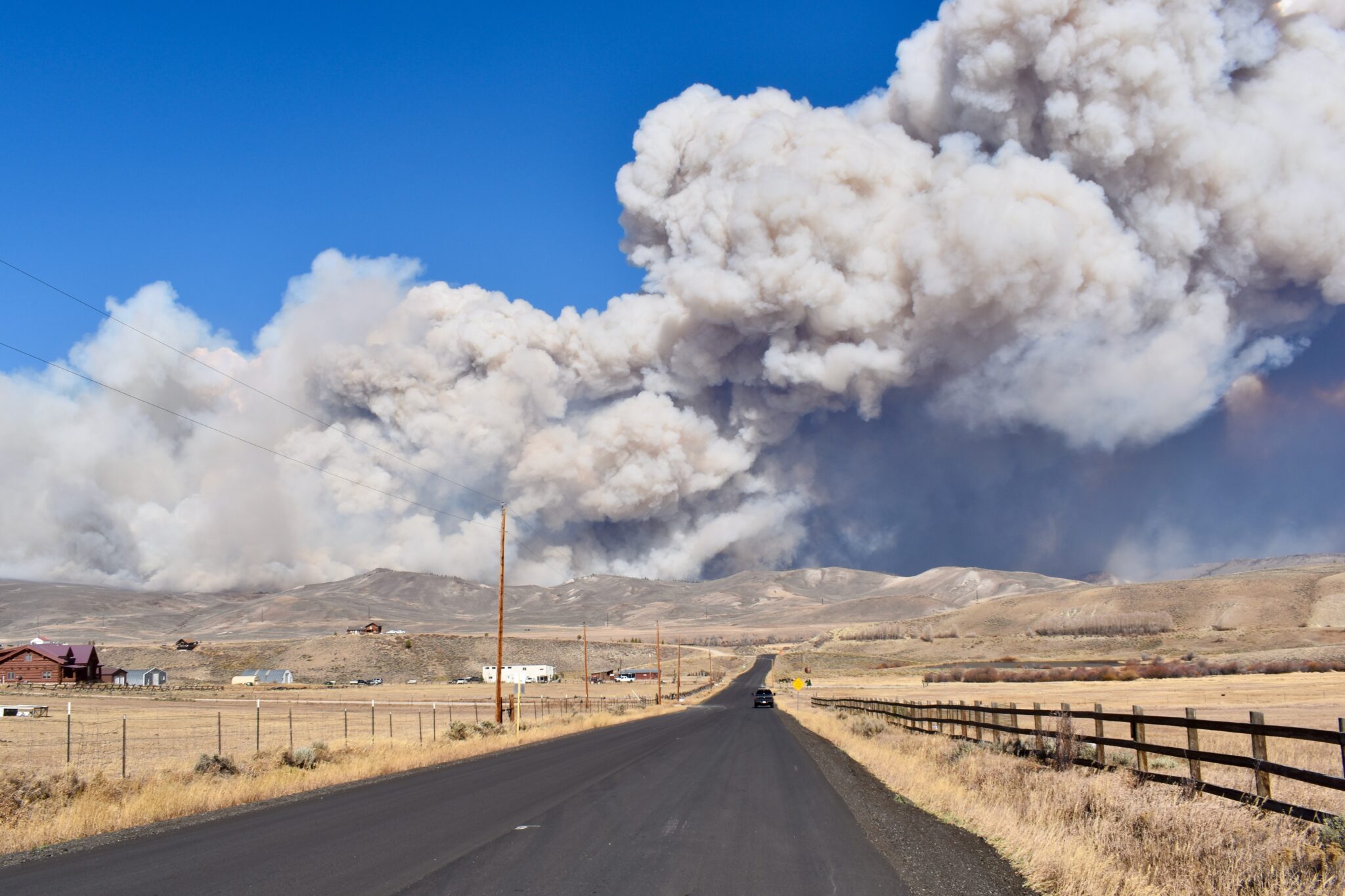
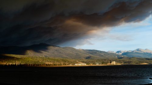
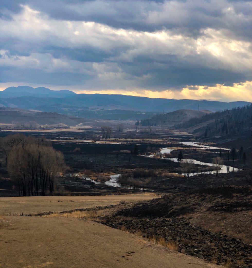
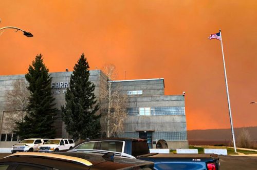
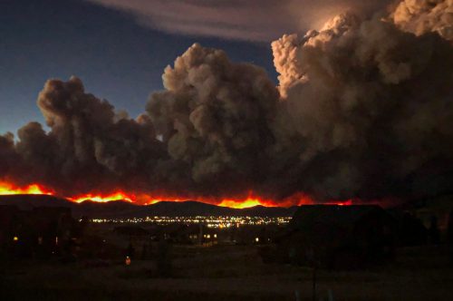
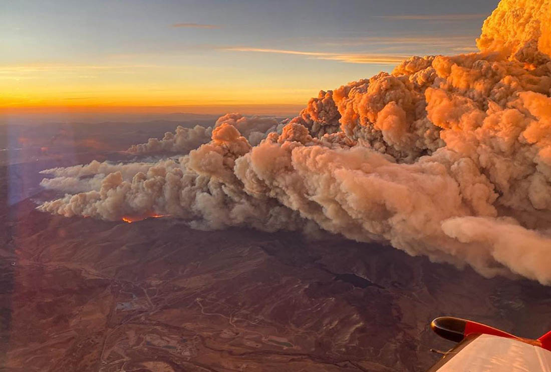
Smoke billows from the Cameron Peak Fire. Photo by Karina PuikkonenBeaver wetland in the Cameron Peak Fire perimeter. Photo: Evan Barrientos/Audubon RockiesThe Cameron Peak fire soon after it started on Aug. 13, 2020. By Sept. 11, the fire had grown to more than 102,000 acres (now >200,000 acres) and was not expected to be considered out until Oct. 31. Photo credit: InciWeb via The Colorado SunEvacuees leave Granby as the East Troublesome Fire burns in the distance, Oct. 22, 2020. (Chase Woodruff/Colorado Newsline)The East Troublesome Fire burns north of Granby on Oct. 22, 2020. (Chase Woodruff/Colorado Newsline)Lands in Northern Water’s collection system scarred by East Troublesome Fire. October 2020. Credit: Northern WaterEast Troublesome Fire. Photo credit: Northern WaterSmoke from the East Troublesome fire looms over Granby Reservoir. Photo credit: Evan Wise via Water for ColoradoBent lodgepole pine in some areas revealed intensity of the wind. Photo/National Park Service via Big PivotsLand scarred in Rocky Mountain National Park from the East Troublesome Fire, October 2020. Credit: Northern Water via Water Education ColoradoLittle that was live remained standing in this area along Colorado Highway 25, north of Windy Gap Reservoir, after the East Troublesome Fire. Agricultural and municipal water users will see broad, lingering effects of the fire. Photo credit: Aspen JournalismThis house north of Windy Gap Reservoir was among the 589 private structures burned in the East Troublesome Creek Fire. Water managers worry soil damage by the fire will cause sediment to clog irrigation ditches and municipal water infrastructure alike. Photo credit: Aspen JournalismStark scenes like this were abundant for those who traveled through the East Troublesome burn area on Christmas Day. Photo/Allen BestThe East Troublesome Fire burns near the Farr Pump Plant on Lake Granby October 2020. Credit: Northern WaterThe East Troublesome Fire burns in Grand County in October 2020. Credit: Northern WaterThe East Troublesome Fire in Grand County burned down to the shore of Willow Creek Reservoir, one of the lakes in Northern Water’s collection system in Grand County. Dec. 13, 2020. Credit: Jerd SmithA view from the highway of the massive East Troublesome wildfire smoke cloud near Rocky Mountain National Park in Colorado on October 16, 2020. Photo credit: InciwebMany homes along Highway 34 and west of Granby Reservoir were spared, perhaps the result of the luck of winds. Photo/Allen BestEast Troublesome Fire. Photo credit: Brad White via The Mountain Town NewsThe East Troublesome fire as it tore through the Trail Creek Estates subdivision on Oct. 21, 2020. (Brian White, Grand Fire Protection District)East Troublesome Fire October 21, 2020 via Wildfire Today.The East Troublesome fire as seen from Cottonwood Pass looking north on the evening of Wednesday, Oct 21, 2020. (Andrew Lussie via InciWeb via The Colorado Sun)