
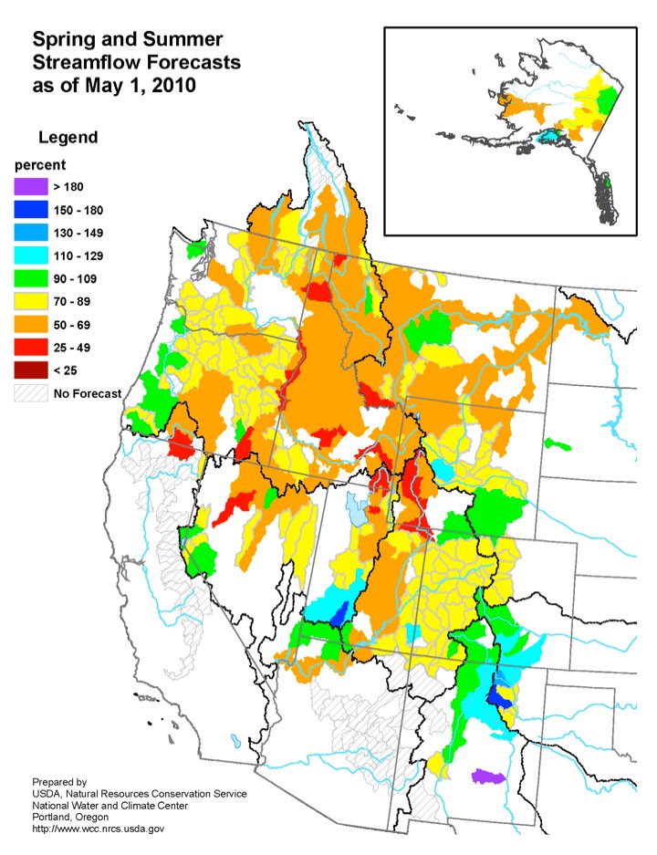
The May 1 basin outlook report is hot off the presses. Click here to download the report.
Here’s a preview:
Nowhere else in the state have the effects of the cool spring temperatures and winter storms of this past April impacted the snow totals as much as they have in the South Platte River Basin. Two snowpack peaks have occurred so far this winter, one in the first full week in April and the second higher one at the beginning of May. The second peak brought the snowpack to 87 percent of the average maximum snowpack, up from 82 percent during the first peak. Although the total snowpack did not reach average conditions, the delayed melt will help runoff timing seem more in line with average snowmelt runoff.