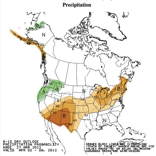
Colorado has abnormally dry conditions or one stage of drought or another across the entire state except for a area around Metro Denver and points north to Wyoming. This week’s U.S. Drought Monitor will come out tomorrow. Click on the thumbnail graphics above and to the right for the current snowpack map from the Natural Resources Conservation Service, the 8-10 day precipitation forecast from the Climate Prediction Center and last week’s drought map from the U.S. Drought Monitor.
Remember to conserve water going into the summer. The nights are still cool so there is no reason to water the bluegrass yet. Trees and shrubs probably do need water though since it’s been so dry. Send some positive energy towards the storm that is expected over the weekend.
From the Fort Collins Coloradoan (Bobby Magill):
Northern Colorado’s mountain snowpack is now diminishing to levels matching that of 2002, the notorious year of drought and wildfire across the state. “It’s just really, really dry,” said meteorologist Judy Fossum of DayWeather in Cheyenne, Wyo. Looking at the long-term forecast, “Honestly, there’s nothing significant headed our way for the next 10 days.”[…]
The water content of the snow in the Upper Colorado River Basin was 40 percent below normal Tuesday morning. For the same date in 2002, it was only 33 percent below normal. In the South Platte River Basin, which includes the Poudre River drainage, the snowpack was 34 percent below normal Tuesday. In 2002, it was 41 percent below normal, according to U.S. Natural Resources Conservation Service data. According to the National Weather Service, the warm weather, wind and lack of new snow contributed to the South Platte River Basin showing Colorado’s greatest basinwide decrease in snowpack this month, diminishing 16 percent between Feb. 24 and March 22. But, Colorado can often see dry spells and numerous wildfires during March, and this dry spell isn’t enough to catapult Northern Colorado into a drought, said Mike Baker, a meteorologist and climate scientist at the NWS in Boulder…
Two of Colorado’s major shots of winter weather this season were thanks to a moisture-laden tropical wave over the Pacific Ocean, Baker said, and a similar shot of moisture appears headed in Colorado’s direction for early April…
“The models are showing a wimpy sort of system that comes through on Sunday,” Baker said. “Maybe a rain shower on the plains.”
From the Vail Daily (Lauren Glendenning):
The Upper Colorado River Basin snowpack has an average peak date of April 14, the date when the snowpack is typically the highest it is all winter. Currently, the basin’s snowpack is at just 57 percent of its peak. That means the river basin needs 740 percent of its average snowpack between now and April 14 to reach that average, according to snowpack telemetry (SNOTEL) data from the Natural Resources Conservation Service…
Mage Skordahl, assistant snow survey supervisor with the National Resources Conservation Service, said even if the area “has a huge April, we still probably wouldn’t reach our average peak.” “We’re so far below average and things are starting to melt,” Skordahl said…
She expects the April 1 data to show statewide average streamflow conditions at 60 percent of average, and maybe lower in some places. “It’s definitely going to be a low runoff year,” Skordahl said, adding that there are still unknowns, like spring rains, that could change things for the better…
Statewide, the good news is that last year was a record snow year, which left reservoirs full or almost full. In 2002, a major drought year, reservoirs were low because the previous years had also been grim in terms of precipitation. Currently, the snow water equivalent — the amount of water actually in the snow — is much lower than it was even in 2002. As of March 20, this year’s snow water equivalent was around 10 inches. In 2002 around the same time, it was closer to 15 inches, according to Eagle River Water and Sanitation District data. The data also shows the current snow water equivalent as being the lowest out of all of the “low” years on record.