
From The Boulder Daily Camera (Charlie Brennan):
The report was the same from Kevin Houck, chief of watershed and flood protection for the Colorado Water Conservation Board.
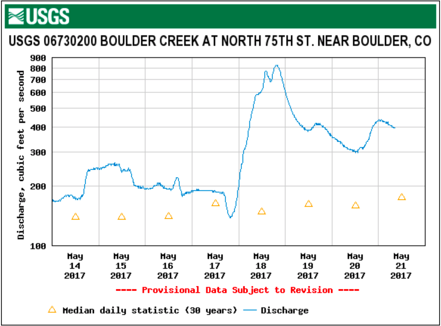
“I think the cooler weather is going to minimize” runoff issues. “This cool air just shuts down the runoff, and while it can speed back up if we had a really big warm-up come this way, I’m not seeing any forecasts calling for that. I think it’s going to be a pretty controlled runoff. Elevated for a few days, but nothing close to flood levels.”
[…]
Snow totals across western Boulder County from the spring storm were impressive. According to the National Weather Service, 42 inches fell southeast of Allenspark, through Friday morning. A total of 41.7 inches came down northeast of Ward, also as of Friday morning. And by 7 a.m. Friday, 30 inches had accumulated northeast of Nederland.
The totals down low were less significant, with Boulder meteorologist Matt Kelsch reporting 6.1 inches of snow in the city through 7 a.m. Friday, and a total of 3.4 inches of liquid precipitation, in both rain and snow, since the storm’s onset.
“I have not seen all of the updated snowpack figures yet,” Kelsch said in an email. “We were running a little below average for this time of year as of May 1st (Coal Creek, Boulder Creek and St. Vrain Creek were 85-90 percent of average). My guess is that we are at least a little above average now.
“That does increase the risk of high flows and maybe some out-of-bank flows over the next few weeks. The extent depends on temperature and precipitation over the next few weeks. A very rapid warm-up could cause a fast melting and more risk of flooding.”
Dave Gochis, a hydrometeorologist at the National Center for Atmospheric Research in Boulder, also issued a note of caution.
“There certainly is a heightened risk from the recent precipitation,” Gochis said in an email. “The actual occurrence of flooding will depend on how much more precipitation we get, as well as how quickly we warm up after this event moves out.
“Forecasts from the National Water Model are showing appreciable rises in streamflow across the Front Range moving into next week mostly due to melt runoff. Streams will come up, but I think more serious flooding will depend strongly on whether or not we get some heavy rain showers on top of this current condition of wet soils and wet and melting snow.”