
Click here to go to the website. Click here to register.
…we are excited to share with you some of the topics that will be explored at the conference:
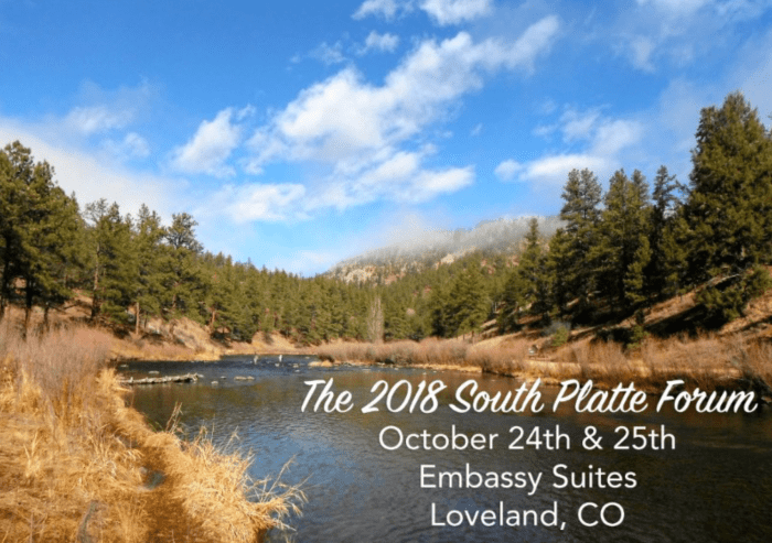
Women in Water Environmental Justice Stream Health Agriculture Conflict Resolution in the South Platte Basin 5 Year Anniversary – 2013 Flood Recovery Update & More!

South Platte River Basin via Wikipedia

The upper South Platte River, above the confluence with the North Fork of the South Platte. Photo: Brent Gardner-Smith/Aspen Journalism

The South Platte River runs by a utility plant near I-25 in Denver. The South Platte River runs by an electricity plant near I-25 in Denver. A project proposed by the South Platte Regional Opportunities Water Group would allow Front Range water managers to maximize the reuse of Colorado River water. Photo credit: Lindsay Fendt/Aspen Journalism

Irrigation sprinklers run over a farm in Longmont in the South Platte River basin. Photo credit: Lindsay Fendt/Aspen Journalism

The Platte River is formed in western Nebraska east of the city of North Platte, Nebraska by the confluence of the North Platte and the South Platte Rivers, which both arise from snowmelt in the eastern Rockies east of the Continental Divide. Map via Wikimedia.

The South Platte River typically all but vanishes as it passes through Denver’s industrial neighborhood north of downtown, downstream of the Burlington Ditch diversion, near the Cherokee power plant. Photo/Allen Best

Flooded confluence of Cherry Creek and the South Platte River June 2015 photo via Andy Cross, Getty Images and The Denver Post

South Platte River Basin via the Colorado Geological Survey

Lower South Platte River

South Platte River near Kersey September 13, 2009.

Metropolitan Wastewater Reclamation District Hite plant outfall via South Platte Coalition for Urban River Evaluation