Click the link to read the article on the InkStain website (John Fleck):
Apologies, no tl;dr is possible. To borrow from Blaise Pascal, I would have written a shorter blog post, but I did not have the time.
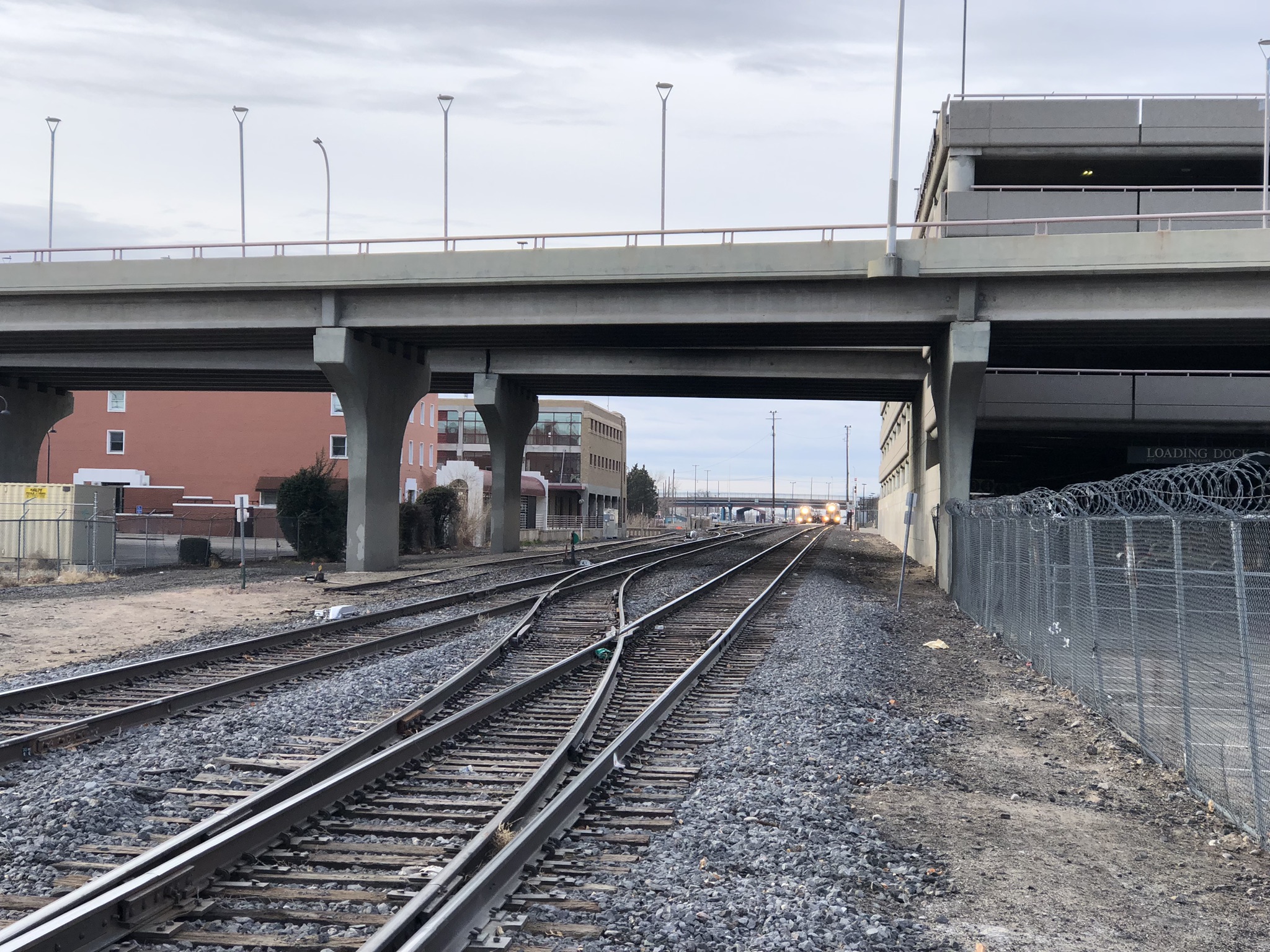
On a bike ride a week ago I took a favorite “long cut” (the slow ways are mostly better, best to not be in a hurry) through downtown Albuquerque.
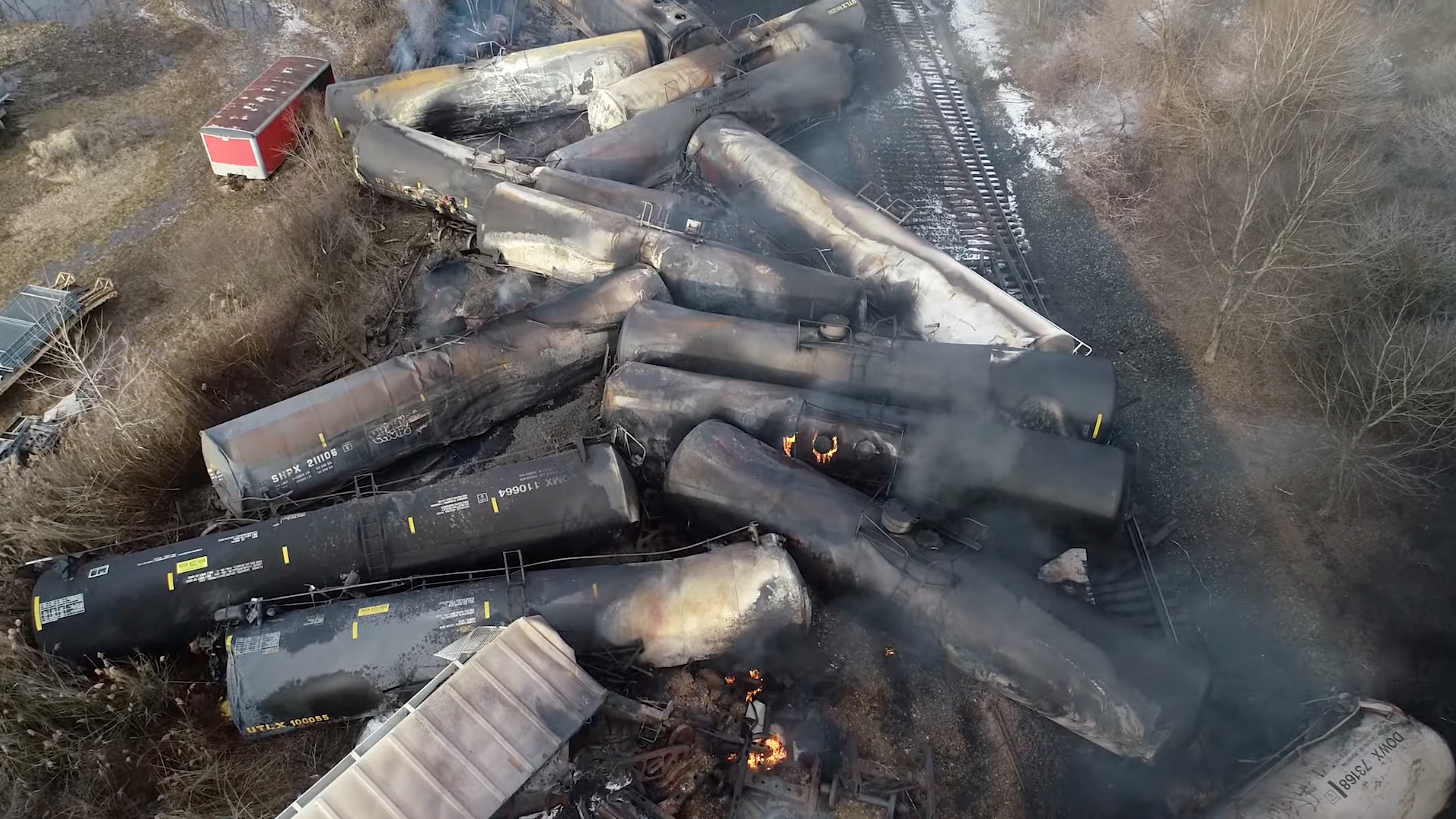
Crossing the railroad tracks I saw two trains, sitting, and pulled over waiting to watch them roll past me. I love watching giant trains roll past me when I’m little and on two wheels.
But the trains just sat.
It’s a metaphor for something. Bear with me while I try to work out what.
SPANDRELS AND PATH DEPENDENCE
We put the trains in this particular spot 140-plus years ago, and spread a creation called “New Town” around them, for reasons that were in part grounded in the natural geography of the place, and in part grounded in accidents of history.
The Atchison, Topeka, & Santa Fe Railway blasted through New Mexico in the 1880s on its way to California and wealth creation. It didn’t much care about New Mexico, or Albuquerque, or this particular spot on the landscape where I took the above picture, other than the fact that we were between their “Point A” and “Point B”. That’s the accident of history. In retrospect there were probably better routes, but the AT&SF was in a hurry. But given that they were headed down our way, this particular spot – on slightly higher ground at the edge of the valley floor – made geographic sense. The downtown was built there because it was a swamp and the land was cheap.
To read common histories of Albuquerque is to see some intentionality about the form of our city, not some happenstance, because dadgum we were getting a railroad and it was gonna make this place!
We pretty much never get freight any more on this stretch of the route, but we’ve neatly (and expensively) repurposed the tracks as a regular Albuquerque<->Santa Fe commuter train, ideal for extending the range of Scot and John’s Sunday bike rides as their old guy legs inexorably age. Stephen Jay Gould and Richard Lewontin describe things like this as “spandrels” – things that in retrospect suggest intentionality in their design, but are really happily repurposed accidents. I’ll try to get back to this.
The underlying point here is two-fold: first, that once the tracks are here, they’re here, in this spot. That’s “path dependence”. The second point is that our success or failure going forward depends on our ability to successfully repurpose stuff like this. Like Scot and I catching the train up to Bernalillo on a lovely Sunday morning and then riding back down the valley. One might call this “adaptive capacity”.
“THE LAW IS AN ASS”
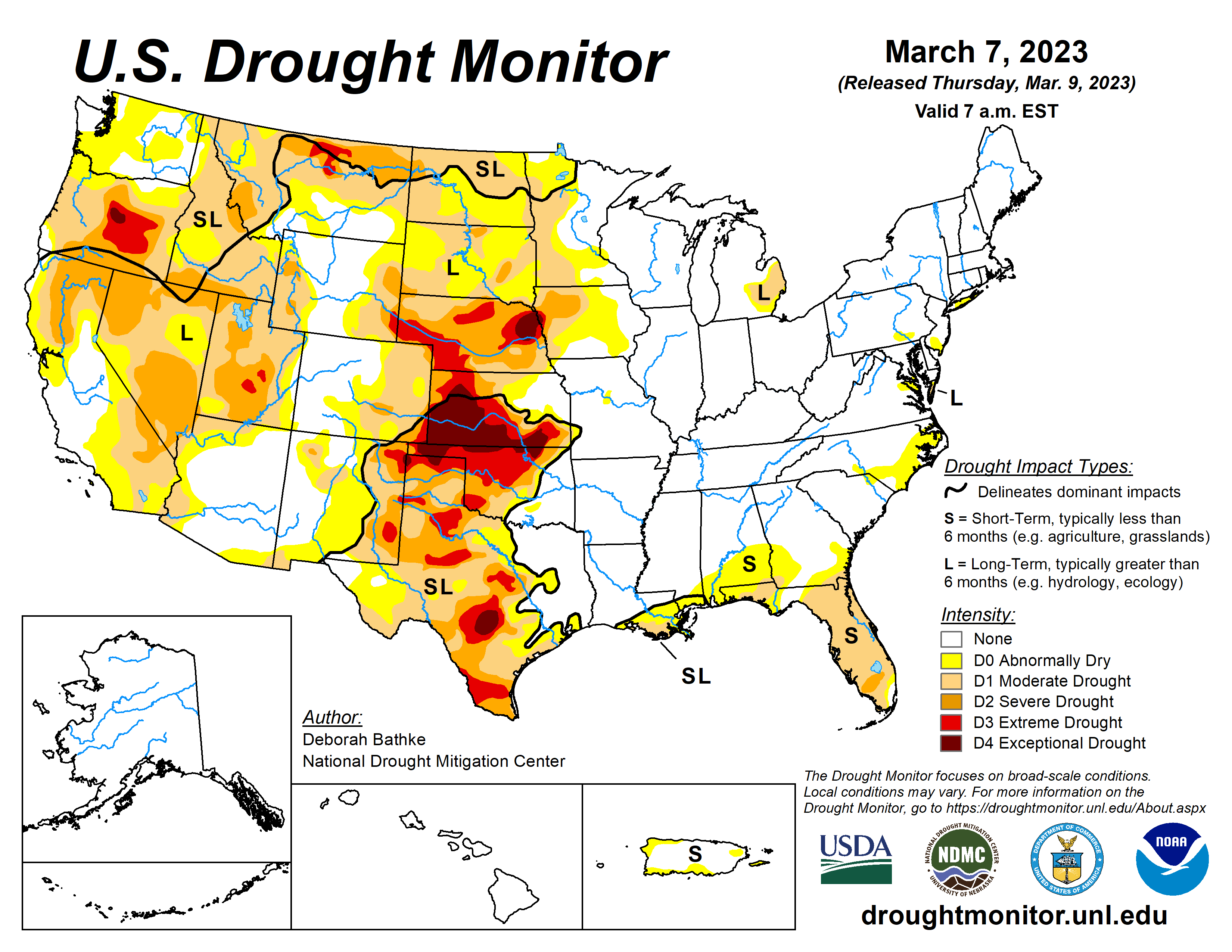
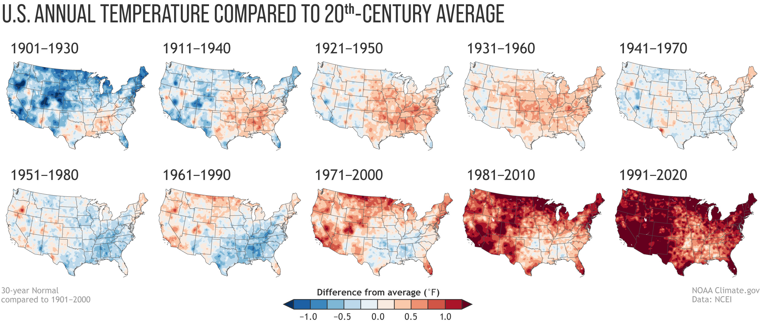
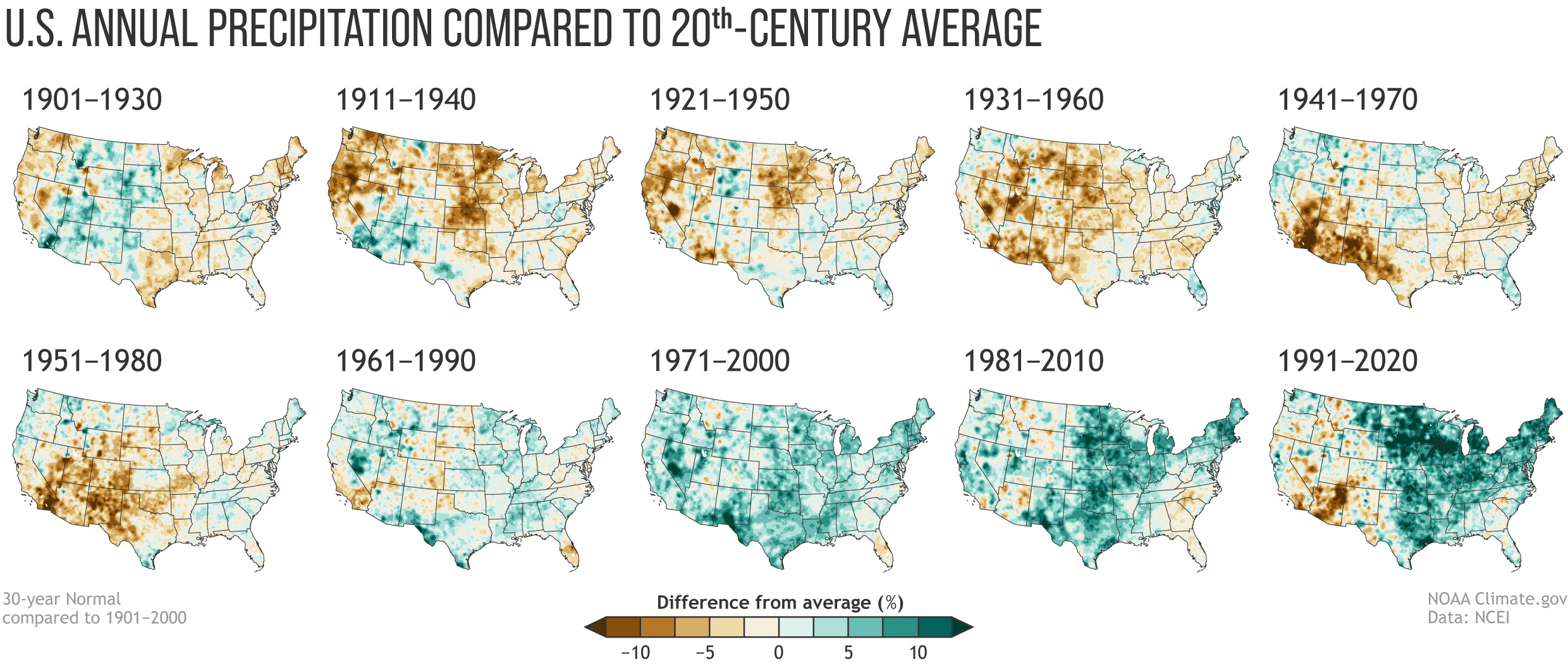
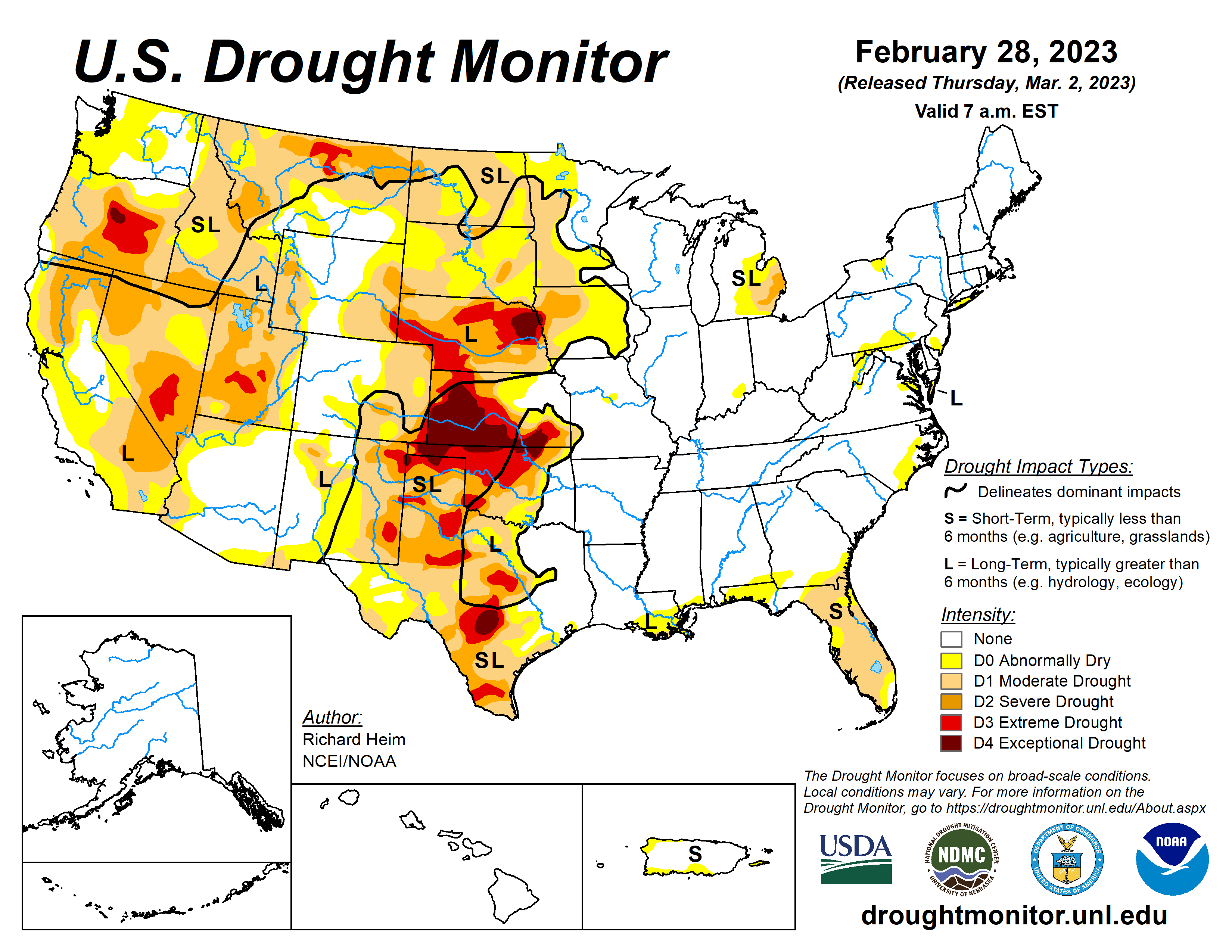
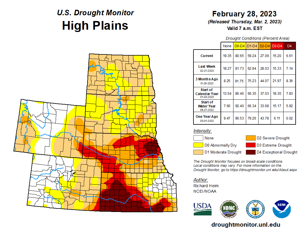
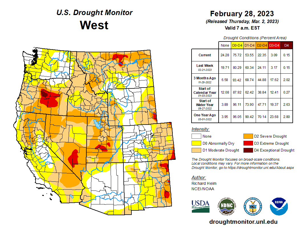
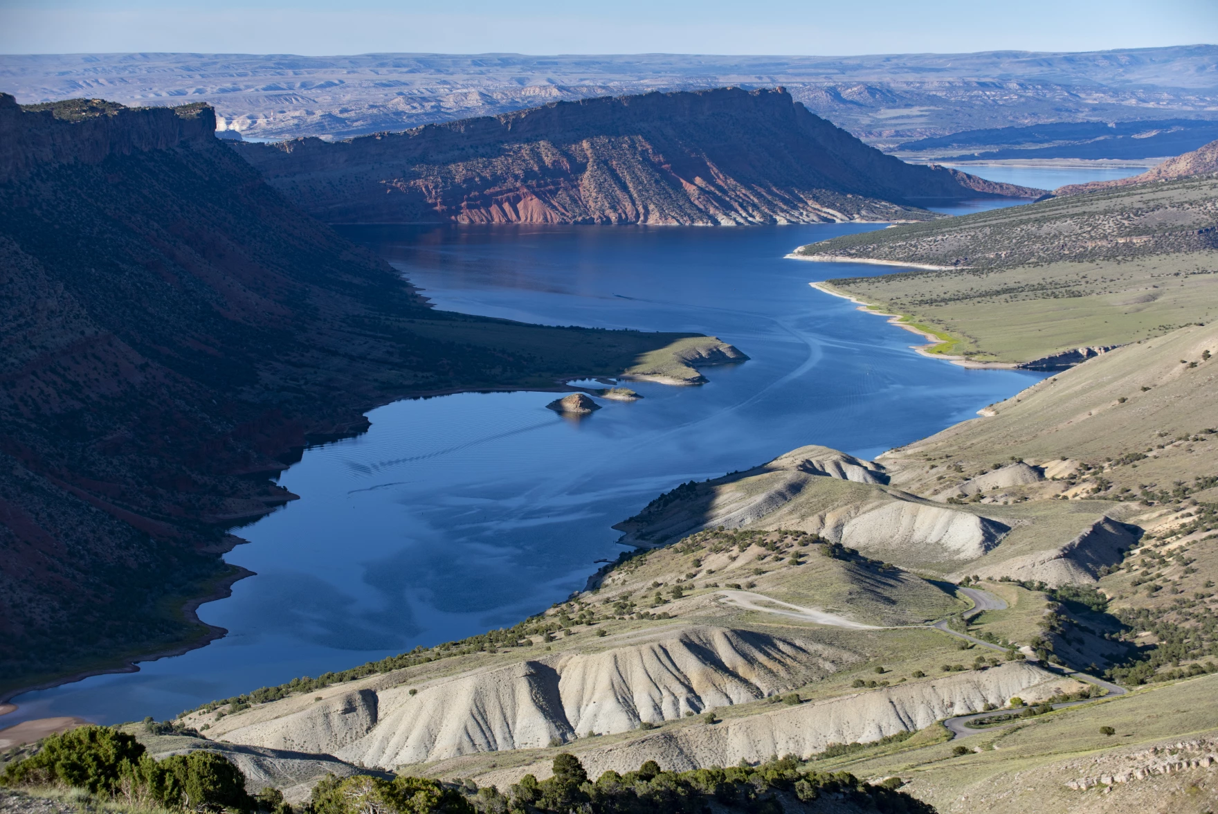
Back in December, the Department of Interior asked us all to offer our suggestions for staving off deadpool on the Colorado River.
I wrote mine mostly in a covid haze, a three-day blitz between the end of the Colorado River Water Users Association meeting in Las Vegas and Interior’s deadline, having contracted the disease in the halls of Caesar’s Palace. In other words, my comments were written in an intense fever, lying in bed with Paxlovid and a laptop staring at my crazy spreadsheets and and federal regulatory text and optimization models and feeling like a wonky Hunter S. Thompson, all “Fear and Loathing” but without the fun parts.
There’s moment in that opening passage of “Fear and Loathing in Las Vegas” where our author and guide is heading up Interstate 15 from LA to Las Vegas when the drugs start kicking in.
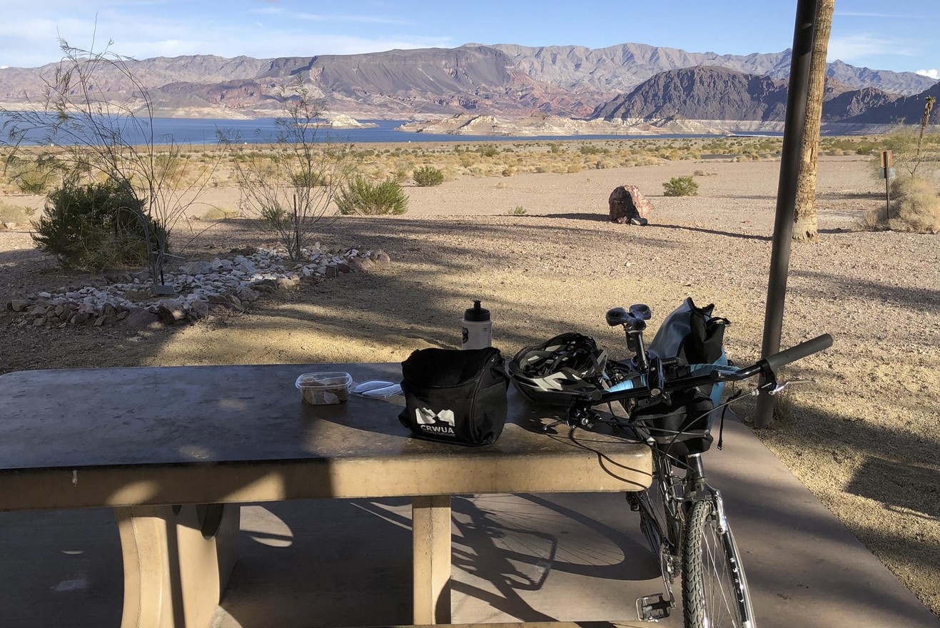
My “swooping and screeching bats” moment came a day after my traditional leisurely drive toward “CRWUA” – (we say it “crew-uh”). I avoided the problems associated with Thompson’s use of mind-altering chemicals on the drive to Vegas – it is a function of privilege and luck that I happily enjoyed that portion of my life in my youth, while escaping it relatively unscathed. But sans pharmaceuticals, my annual December drive to Las Vegas plays a similar narrative role – leaving one world behind and entering another.

My “swooping and screeching bats” moment came a day after my traditional leisurely drive toward “CRWUA” – (we say it “crew-uh”). I avoided the problems associated with Thompson’s use of mind-altering chemicals on the drive to Vegas – it is a function of privilege and luck that I happily enjoyed that portion of my life in my youth, while escaping it relatively unscathed. But sans pharmaceuticals, my annual December drive to Las Vegas plays a similar narrative role – leaving one world behind and entering another.
I had stayed out in Boulder City, as is my way (note “best not to be in a hurry”) and spent the day before CRWUA on a bike ride along the edge of Lake Mead, counting sunken speed boats emerging from the bed of the reservoir as it plunges toward deadpool. (“sunken speed boats” = “swooping and screeching bats”)
I am not, for a variety of reasons (and largely for the better) the sort of Hunter S. Thompson-esque sort of writer that a young John imagined becoming. But hold in your mind the fever-induced screeching bats in my head as I stared at my crazy spreadsheets and wrote this in my comments to the Department of the Interior:
“We as a community have made mistakes in managing the Colorado River, and we are now at the mercy of those mistakes. We cannot undo them, but we must learn from them. The heart of our mistakes is this: we have obeyed a Law of the River that, year after year, permitted us to remove more water from the Colorado River than nature provided. We now understand, to our great regret and peril, that the law is an ass.”
FRIDAY AFTERNOON AT “THE FLECK-BERRENS LAB”
Friday afternoons have become my favorite bit of the week, as my colleague Bob Berrens and I, along with a handful of students who are helping us, gather in the University of New Mexico Water Resources Program computer lab/lounge to….
Well, it turns out that it’s hard to explain what is happening there. I guess “try to figure stuff out”?
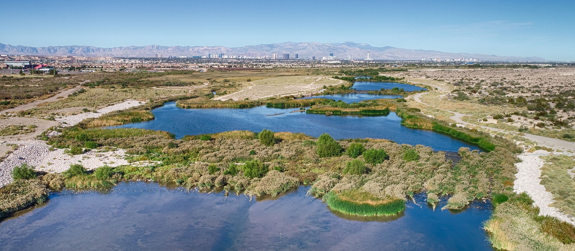
Friday our student “A” (Bob is stuck with his adjacency to my crazy public-facing life, but I’ve not asked my students’ permission to drag them into this) was nimbly pulling up and analyzing maps of domestic wells in greater Albuquerque’s Rio Grande valley as we tried to sort through questions of water allocation rules and “the distribution of green”.
I have an intellectual tendency, which Bob has helpfully pointed out by way of literary reference, to assuming that stuff is the way it is because it’s sort of “for the best”.
Gould and Lewontin and Bob all quote on this Dr. Pangloss of Voltaire’s Candide:
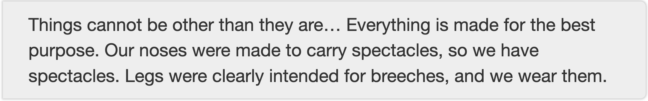
Candide’s hilarious, and Voltaire is mocking, but you can find this teleological tendency in both economics and evolutionary biology, and our wrestling with the questions is converging right now in the final chapter of the new book Bob and I are writing about the relationship between Albuquerque’s century-old water institutions and its modern urban form.
The issue was on full display Friday afternoon as, Pangloss-like, I rose to the defense of a set of rules that allows domestic wells in New Mexico, basically no questions asked.
My argument was to the benefits this has conveyed – the lovely community of Corrales, leafy and easy. We’re trying to get our arms around the “non-market” values conveyed by water, that we avoid the trap of only analyzing the value of water/greenness in narrow terms of crops sales. Look at all that lovely non-market value in Corrales!
It’s a very Panglossian argument, not exactly one I believe. I’ve been fiercely complaining about New Mexico’s domestic well statutes on equity grounds – we find them, and their green space, concentrated in the metro area’s most affluent neighborhoods. But picking sides and pushing through the details of an argument is how we make progress – as a journalist, it was my job to deeply entertain and be able to explain everyone’s arguments, most especially those with which I disagreed.
Understanding the arrows of causality is tricky here, but like noses and spectacles, there’s an intimate connection between domestic wells and the leafy affluence of our metro area’s valley floor.
To point out the hole in my argument, Bob turned to that thing I wrote last week in the New York Times.
There, I hung my argument from a peg of “fairness”.
Like the residents of Corrales, California is exploiting old rules written at a different time and for different purposes to enjoy water while pushing the burdens of the impacts of climate change onto others.
That just feels wrong.
INSTITUTIONS AS THE ‘CARRIERS OF HISTORY’
Bob – who is a great teacher, our collaboration feels a bit like a ten-year rolling graduate seminar – recently turned me on to a useful 1994 essay by an economist named Paul David about the role of institutions as “carriers of history”.
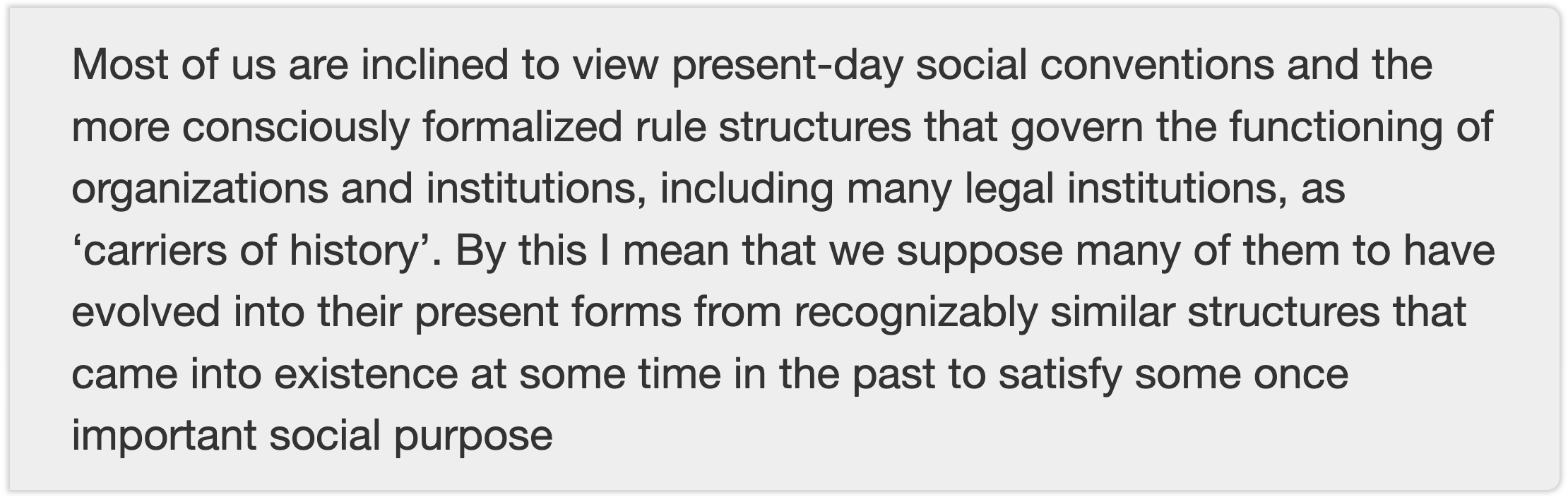
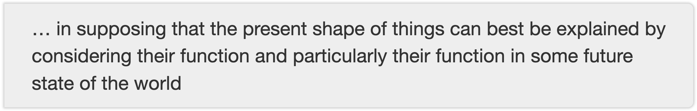
David contrasts a “teleological” with a “genealogical” mode of thinking about these things.
By teleological, he’s kinda talking about Dr. Pangloss’s spectacles,
In contrast, the genealogical approach
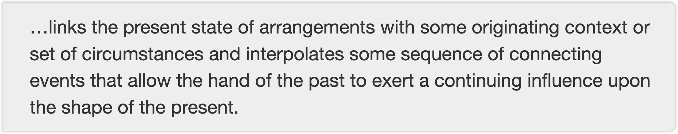
Thus we have leafy green affluence in Corrales and leafy green alfalfa in the Imperial Valley because institutional path dependence is a “carrier of history”.
WHEN INSTITUTIONS BECOME MALADAPTIVE: THE “TRANSITIONAL GAINS TRAP”
In a classic 2012 paper, the late Elinor Ostrom offered the version I most like of her ever-evolving “design principles” for resource institutions. This is the version I cited in my 2016 book Water is For Fighting Over, the one I have students read and apply. The final bullet seems relevant to the current discussion:

In the case of the leafy neighborhoods of Corrales and the leafy alfalfa fields of Imperial, we have a new “external … constraint” – there’s not enough water!
But our current institutional framework seems to lack a way to change the rules.
My “the law is an ass but we’re following it anyway down to dead pool” point in my Supplemental EIS comment is essentially the result of me doing the same sort of “use Ostrom’s bullets!” technique I assign to my students.
In an email exchange following my Times piece, a friendly and thoughtful critic suggested that for “alfalfa” in my Times piece we might more broadly substitute the word “property”.
In a 1975 paper, Gorden Tullock defined a thing he called “the transitional gains trap” that I think sheds light on what’s going on here.
It involves an institutional arrangement that conveys some benefit to an individual or a group of individuals. They optimize around it, and the benefit becomes locked in:
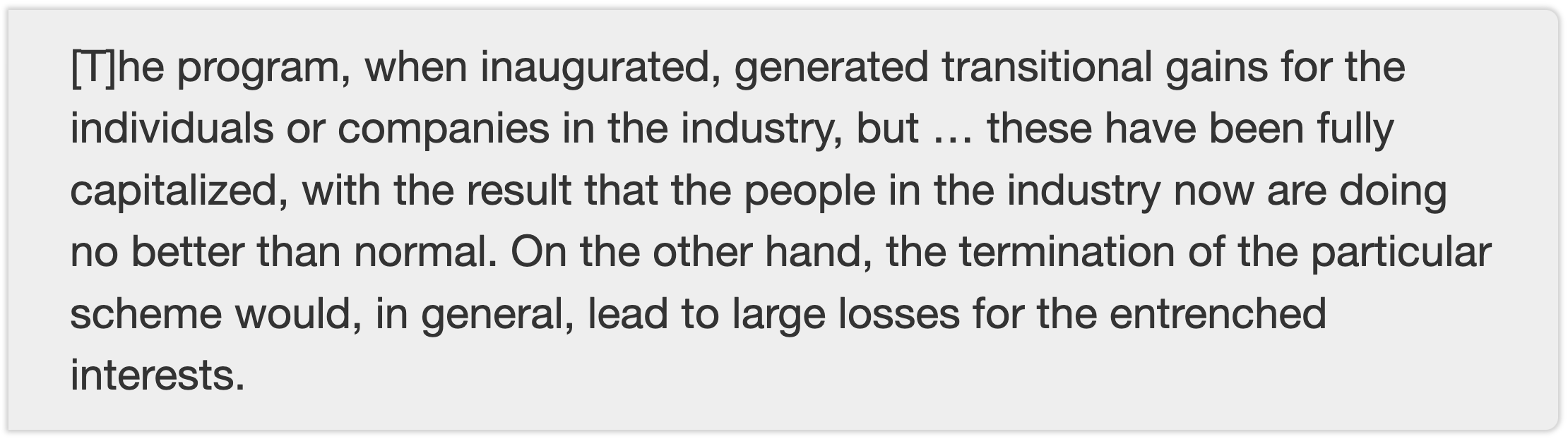
The value of all that massive federal subsidy in water development has been fully capitalized in the value of a patch of farmland in the Imperial Valley. The value of a permissive domestic well statute has been fully capitalized in the value of a home in Corrales.
The transitional gains trap may help explain why Ostrom’s design principle – the ability of an allocation system to adapt over time – is so hard to achieve in the cases I’m describing. It’s path dependence. People have optimized around the current rules. Both the landowners in Imperial and the homeowners in Corrales seem to have political blocking power (more theory here! the “tragedy of the anticommons”! notable that I have very little theory in my toolkit that has not been gifted to me by my generous friend Bob).
COLLATERAL DAMAGE
My Times piece looked to many like another bog standard California v. Arizona thing, and in many ways it was.
I took a side in that fight based on a moral intuition: that in clinging to path dependence, what Charles Wilkinson called “the lords of yesterday” and Tullock might more prosaically have defined as a “transitional gains gap”, California is pushing the burden of climate change onto others. But the most important victims here are not Arizona, it’s the paragraphs about the collateral damage (I thank two friends for useful conversations that led me there – you know who you are):

The visceral part of my anger at the upraised middle finger that is California’s Colorado River proposal is the way it implicitly says, “If the collision of climate change with our changing societal values requires additional water for things we didn’t contemplate when we wrote the old rules, take it out of your share. This water is ours.”
The thing is that the stuff we’ve built under the rules here – the alfalfa fields of Imperial and the leafy green of Corrales – isn’t really inevitable, it’s a Gould-Lewontin “spandrel” – a thing that looks intentional but is really just happily occupying leftover institutional space. Had we not, for example, subsidized Imperial with federal financing for the big flood control dam they needed, or provided the 50-year, interest-free financing for the All-American Canal, things would be very different. But the arched framework in San Marco Cathedral did leave spandrels behind in the corners, and they are now among the most beautiful demonstrations of the builders’ fealty to the Lord.
MY SYMPATHY FOR DR. PANGLOSS
One possible explanation for my Panglossian habit of mind – this is the best of all possible worlds! – is the descriptive rather than normative nature of my education as a writer, which was spent in newspapers offering up what I imagined was little daily piles of “facts” untainted by “opinion”. It was a ridiculous conceit, and we knew it, but also a helpful discipline.
My starting point was also to assume good faith, and even when I get burned now and then, it’s largely served me well. But faithfully presenting everyone’s argument as reasonable from their point of view and of course that’s why they believe it and they’re basically decent and moral people left me with little purchase for the kind of work I’m trying to do today.
While much of what I wrote in Water is For Fighting Over seven years ago might fairly be criticized as Panglossian, I still stand by its central messages:
- that we have made tremendous progress in better sharing the Colorado River’s limited supplies
- that a structure of formal and informal collaborative governance is central to that, and that it had (at the point when I wrote the book) been succeeding
One might characterize it, to borrow words from a thoughtful friend, as a combination of informed partners, good faith and compromise, leavened with “scientifically informed change”.
As we dance with deadpool, people frequently remind me, with arched eyebrows, of my book’s happy and optimistic tone, and it’s a fair cop. The book, and the way I wrote and spoke about it after, had a Panglossian air. I believed in the combination of informed partners, good faith and compromise. I believed the science could be taken seriously.
I also was pretty clear, in a closing passage defining the risks, about the risks if we didn’t get our shit together. My mistake, I guess, was an optimistic view of our ability to adapt to our spandrels.
I’m not quite sure where the metaphor that opened this blog post (reminder: rails, with two trains just sitting there and not moving) leaves us.
We seem to be stuck with these train tracks.
The trains seem not to be moving. But sooner or later they’ll have to.