Click the link to read Colorado Mother of Rivers by Greg Hobbs on the Water Education Colorado website. Greg was one of my best sources for stories and experiences about Colorado.
COLORADO MOTHER OF RIVERS
By Justice Greg Hobbs
When I was young the waters sang of being here before I am, of falling sweet and soft and slow to berry bog and high meadow. And held me in her lap and cooed the willow roots, the gaining pools, and called me through bright dappled grass and called me O, My Shining One; And shaped a bed to lay me on and played the flute so high and clear. And shape the stones to carry me, when I am young and full of fight for roaring here and roaring there, for pouring torrents in the air. When I am young as mountain snow in crag and cleft and cracked window; I call the green-backed cutthroat trout, I call the nymph and hellgrammite, I call the hatch to catch a wind, I call upon the mountain track; I call the scarlet to the jaw as morning calls her own hatchlings, call Yampa, White, the Rio Grande, San Juan, the Platte, the Arkansas.
(in celebration of the 30th year of Colorado’s instream flow law)
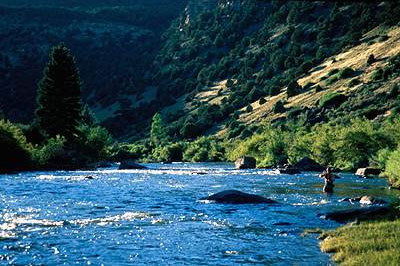
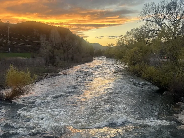
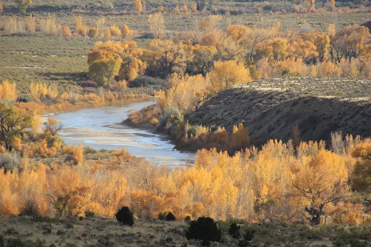
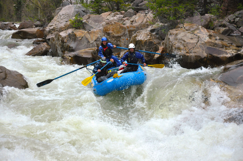
Take a little tour around Colorado.
The upper South Platte River, above the confluence with the North Fork of the South Platte. Photo: Brent Gardner-Smith/Aspen Journalism
Browns Canyon National Monument protects a stunning section of Colorado’s upper Arkansas River Valley. The area is a beacon to white water rafters and anglers looking to test their skills at catching brown and rainbow trout. Photo by Bob Wick / @BLMNational
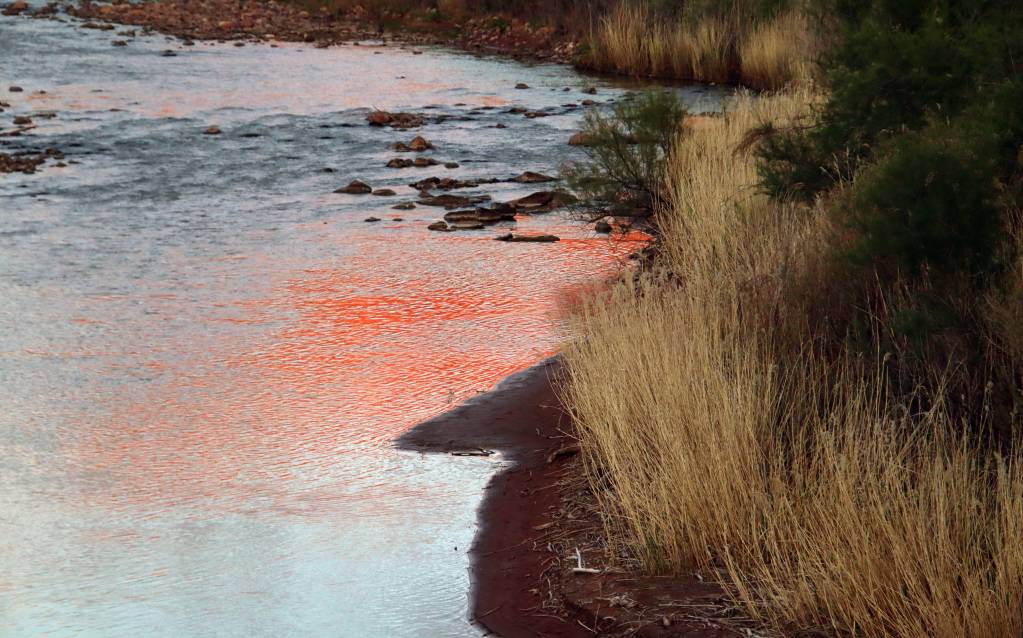
Redrock reflection on the Dolores River near Gateway, downstream from the confluence with the San Miguel. Jonathan P. Thompson photo.
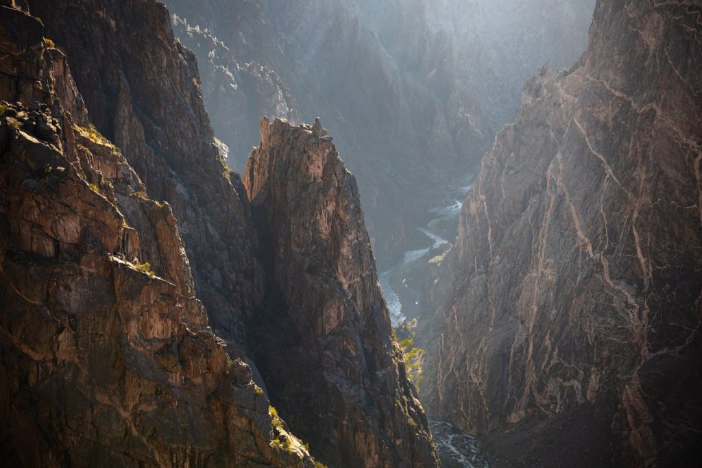
Black Canyon of the Gunnison. Photo credit: NPS/Kris Toy
Uncompahgre River Valley looking south
Colorado River “Beginnings”. Photo: Brent Gardner-Smith/Aspen Journalism
The Blue River flowing through Silverthorne just below Dillon Dam in May 2025. Photo/Allen Best
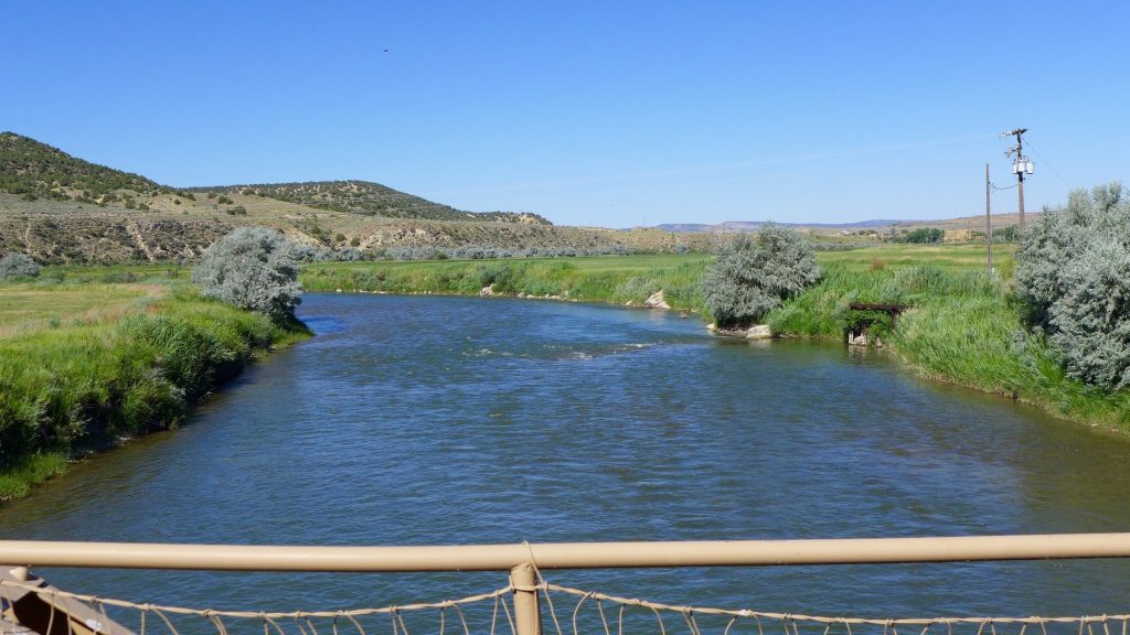
A view of the White River between Meeker and Rangely. The Rio Blanco Water Conservancy District on Jan. 7 secured a conditional water storage right for 66,720 acre-feet for the Wolf Creek Reservoir. Photo credit: Brent Garndner-Smith/Aspen Journalism
The Roaring Fork River in Aspen on July 8. Pitkin County Commissioners gave initial approval to buying more shares of Twin Lakes water to boost low flows on the Fork. CREDIT: HEATHER SACKETT/ASPEN JOURNALISM
The Crystal River runs parallel to County Road 3 as it flows past the town of Marble. The Pitkin County Healthy Rivers board has expressed interest in a water quality monitoring program to see if the diversion of Yule Creek, a tributary of the Crystal, is having downstream impacts. Photo credit: Heather Sackett/Aspen Journlism
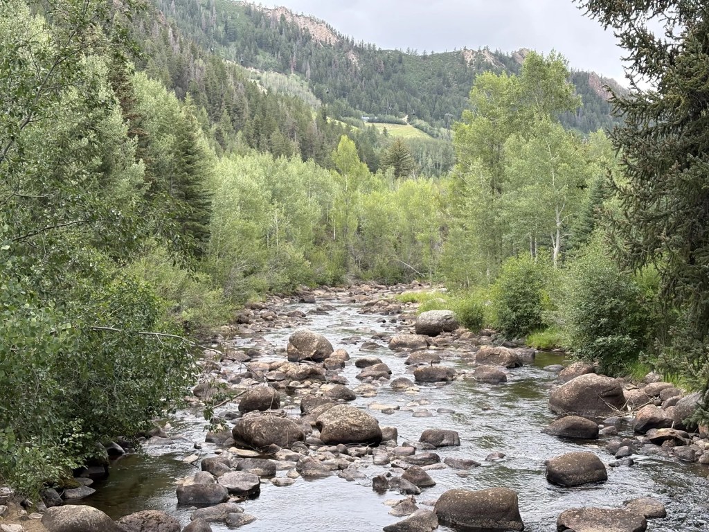
Eagle River
Yampa River May 3, 2025. Yampa River on Saturday evening was flowing strongly through Steamboat Springs, but the snowpack in the the Yampa-White drainage area of northwest Colorado was still less than two-thirds of average. Photo credit: Allen Best
The Little Snake River is about to join the Yampa River on Oct. 8, 2020. Photo credit: Allen Best/Big Pivots
North Platte River
Laramie River
No Name Rapid, Class V, mile 10, Upper Animas River, Mountain Waters Rafting.
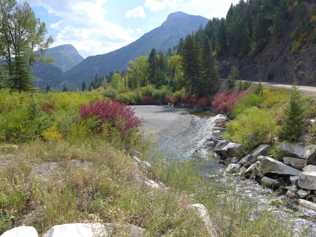
The San Miguel River near its headwaters in Telluride, Colorado. @bberwyn photo.
Cache la Poudre River from South Trail via Wikimedia Foundation.
You know the Colorado River crisis is serious when the Trump administration is willing to use hundreds of millions of dollars from President Biden’s climate law to help to solve it.
As of Wednesday night, federal officials had yet to release their plan for mandatory water cutbacks along the Colorado — a crucial water source for tens of millions of people and millions of acres of farmland across the American West. But with a plan expected later this week, details were starting to trickle out.
The L.A. Times’ Ian James reported that Trump’s Interior Department would accept a proposal submitted by California, Arizona and Nevada — the Lower Basin states — to slash their water use by 12%, 31% and 28%, respectively, through 2028. They’ll receive $350 million from Biden’s Inflation Reduction Act to support water conservation.
The Upper Basin states — Colorado, Utah, New Mexico and Wyoming — will get $100 million in conservation funding. But unlike their downstream neighbors, they won’t face mandatory water cuts. However much water they end up saving, that will be good enough.
It’s always possible the plan will change. I’m eager to see the final details.
While we wait, let’s hear from one of the West’s most thoughtful and well-informed Colorado River chroniclers.
That would be Zak Podmore, author of “Life After Dead Pool: Lake Powell’s Last Days and the Rebirth of the Colorado River.” Earlier this week, he and I talked for an hour and took audience questions on Zoom; it was a great time. Thank you to everyone who joined us. Paid subscribers to Climate-Colored Goggles can scroll up to watch the full video.
Here are five lessons that stood out to me from our conversation — all of which are relevant to the high-stakes conflict playing out among the states.
1. We’re not doomed. Earth is resilient
My favorite thing about “Life After Dead Pool” is its hopeful message.
Most headlines about the Colorado River these days are gloomy. For instance, the last time Lake Mead and Lake Powell held as little water as they do right now was 1956 — before Lake Powell existed, meaning all the water was in Mead. Powell is currently 23% full; Mead is 27% full. These are the largest reservoirs in the United States.
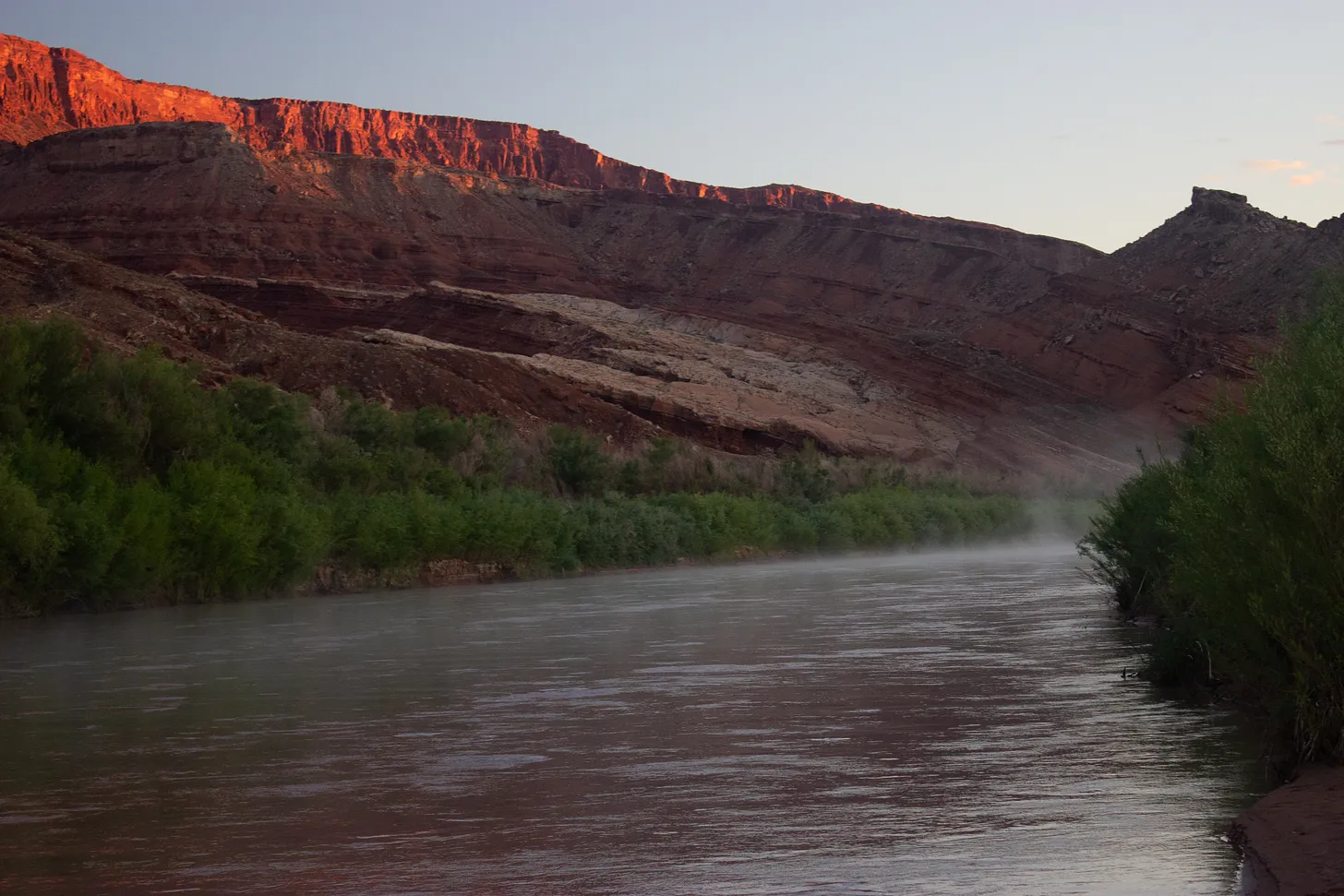
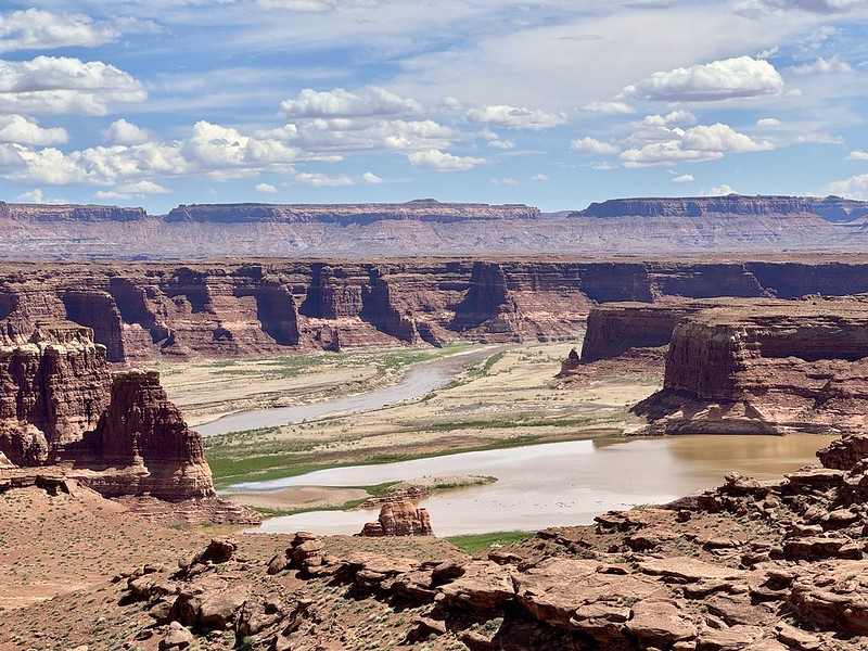
A river returns. Almost 50 miles of the San Juan, once inundated by Powell Reservoir, are flowing free. Photo credit: Morgan Sjogren
But Podmore’s book flips the script, offering a firsthand look the amazing ecological recovery taking place as Lake Powell shrinks.
In and around the reservoir, which was flooded by Glen Canyon Dam more than 60 years ago, native vegetation is returning much faster than scientists thought possible — especially in narrow side canyons inundated by Powell. Exploring these remote, newly accessible places inspired Podmore to write his book.
“Instead of hearing the story that I grew up hearing — which was that Glen Canyon Dam had all these negative environmental consequences, it drowned this beautiful place — I was hearing these conversations from these researchers who were talking about the landscape that was coming back, and how excited they were about the way the ecology was recovering, and the way the endangered fish were expanding their habitat,” Podmore said.
“Instead of a story about being too late, it was a story about realizing that I was right on time, as we all are, to see the rebirth of Glen Canyon,” he added.
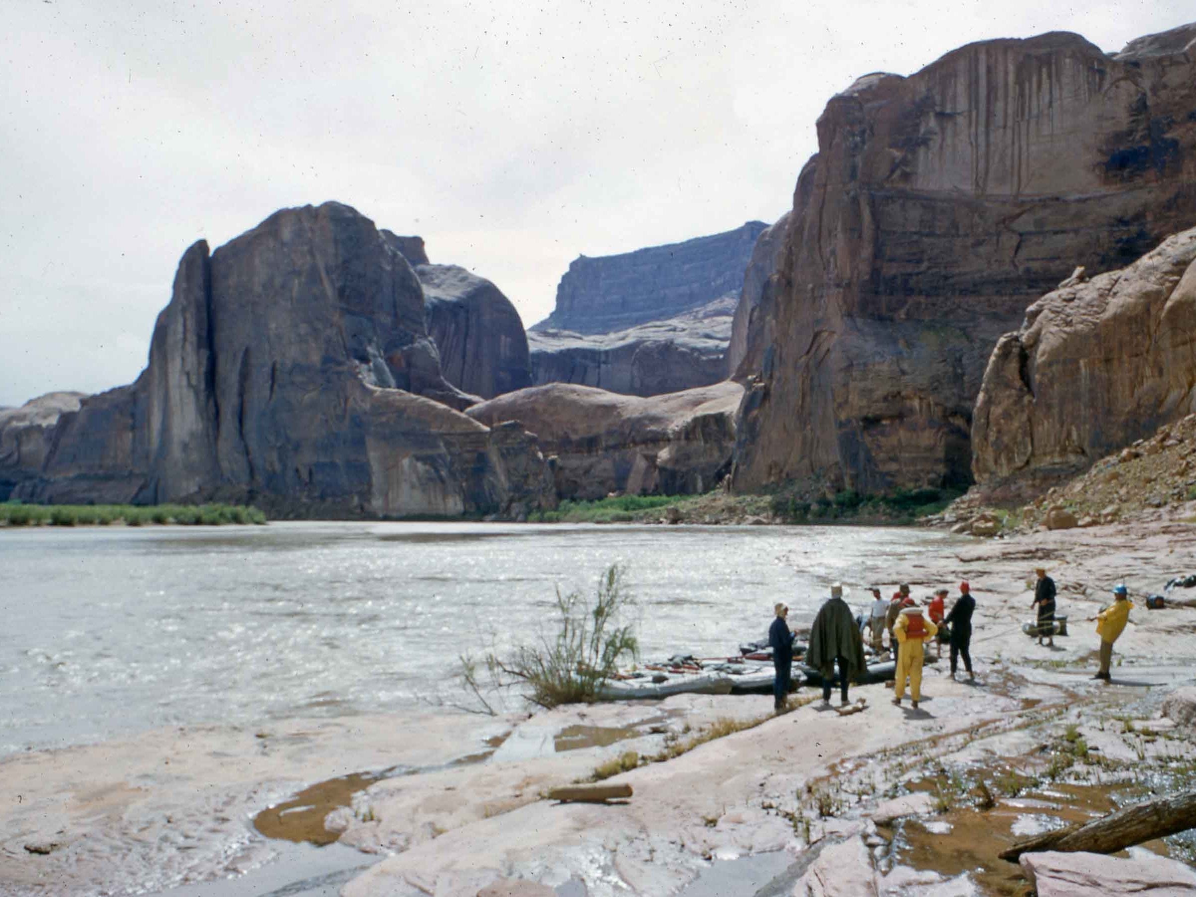
The Colorado River flows through Glen Canyon in 1958, before the dam was built. (Photo via Wikimedia Commons)
2. Those who don’t learn from history…
Podmore starts the book by imagining what Indigenous life might have been like in and around Glen Canyon nearly 1,000 years ago — when the region had a far larger population than it does today.
He wanted to show that the Colorado River Basin’s human history began long before white settlement — and that even environmentalists have often ignored the watershed’s Indigenous past.
“I was definitely indoctrinated into the mainstream environmental school of thought as I was growing up,” he said. “I had a copy of the really famous book about Glen Canyon called, ‘The Place No One Knew,’ which was published by the Sierra Club in the ’60s and talked about how nobody cared enough about Glen Canyon to protect it. And then I realized later on that [the] title was very offensive, and [in fact] there were people who knew Glen Canyon very well and lived there for thousands of years, and who were displaced as the waters of Lake Powell started to fill, in the case of many Navajo families.”
Podmore’s opening scene describes a 10,000-gallon stone water tank built by Ancestral Pueblo farmers, the ruins of which were eventually buried by Lake Powell. The tank’s key feature: a drain at the bottom, so that irrigation could continue no matter how low water levels got.
Diagram showing critical reservoir levels at Glen Canyon Dam and Lake Powell. Land Desk diagram with data from the Bureau of Reclamation.
Lake Powell doesn’t have a drain at the bottom. It could certainly use one.
3. The Upper Basin states aren’t doing enough
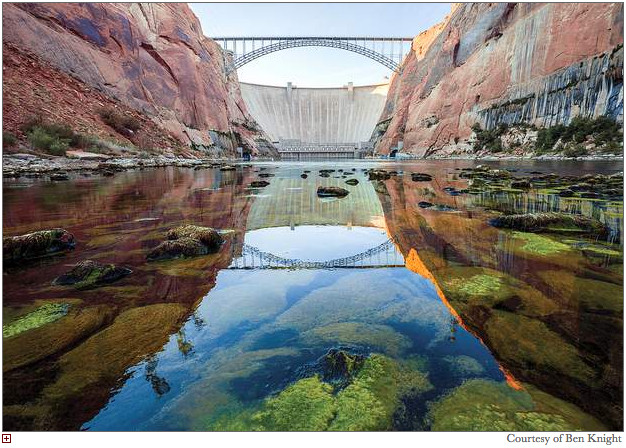
If Powell’s water levels sink much lower, water won’t be able to pass through the dam’s hydropower turbines, which generate cheap electricity for communities across the West. That wouldn’t be a “dead pool” situation; water could still flow downstream to the Grand Canyon and Lake Mead through bypass tubes lower in the dam. But the bypass tubes are surprisingly frail and could break with sustained use.
Translation: We are frighteningly close to “de facto dead pool.” That’s why the Trump administration is ordering everyone to use less water.
Well, not everyone. California, Arizona and Nevada are willing to cut back dramatically, and federal officials seem happy to make them do it. The Upper Basin states — the ones upstream of Lake Powell — say they shouldn’t have to commit to mandatory reductions, in part because they already consume a lot less.
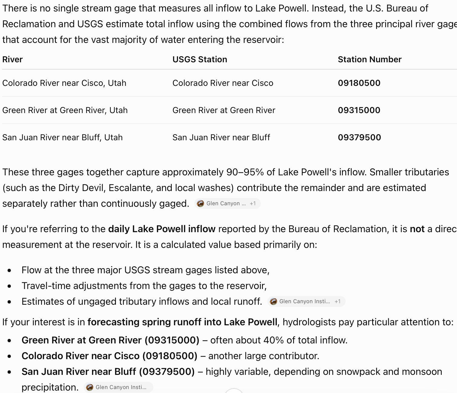
[ed. It is not possible to measure or marshall water to Lake Powell (lack of infrastructure, gaining and losing reaches, priority, no way to color water in the river). Inflows are calculated values, or the height of the column at the dam. The Upper Basin consumes a lot less than their allocation under the compact, so yes, much less than the Lower Basin. Here’s an AI recap of inflows to Lake Powell.]
In a New York Times opinion piece earlier this year, I argued that the Upper Basin states need to do more. Podmore agreed.
“It’s a tricky situation, because the Lower Basin has always used more water, and that’s a convenient argument for the Upper Basin,” he said. “But also, there’s more people in the Lower Basin. And the most productive agricultural land that’s irrigated with Colorado River water is located in the Lower Basin.”
“Even with the cuts that the Lower Basin has offered, we still have a long way to go to balance the water budget,” he added. “Everyone needs to pitch in.”
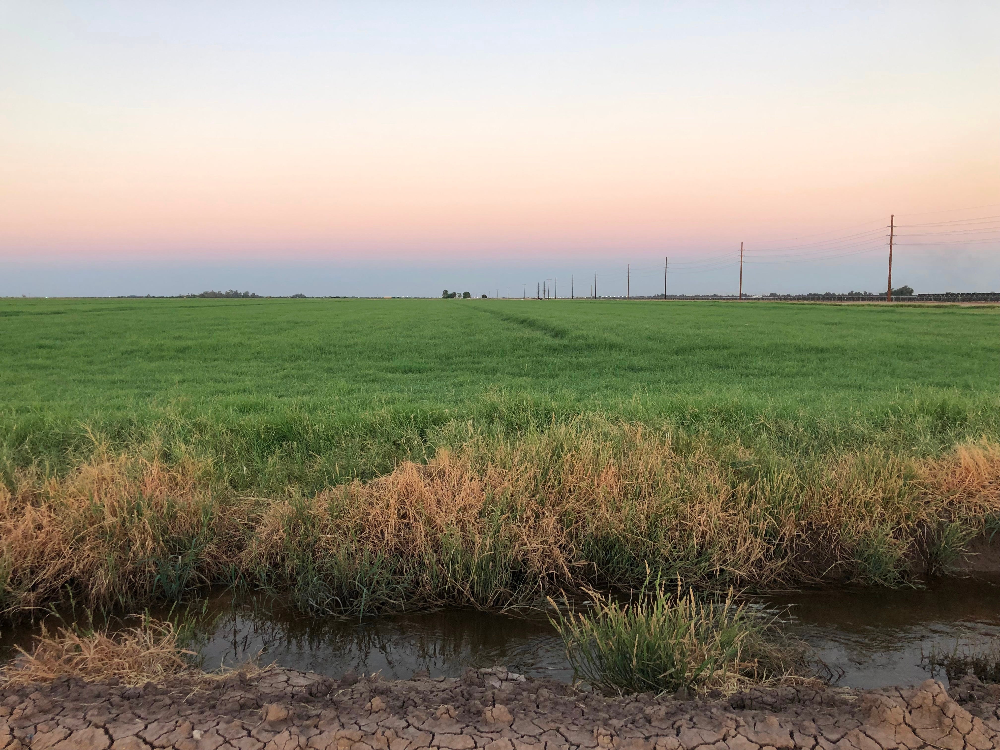
Farmland in California’s Imperial Valley, irrigated with Colorado River water. (Photo by Sammy Roth)
4. Alfalfa isn’t (always) the enemy
Farmers are often vilified for sucking up copious amounts of water — and with good reason. Irrigated agriculture consumes more than half the water in the Colorado River Basin, with alfalfa and other cattle feed accounting for a stunning 32% of overall water use. (This is one of several good reasons to eat fewer hamburgers.)
The Colorado River’s largest water user, by far, is California’s Imperial Valley, where farmers grow vegetables, alfalfa and other crops. There’s no sustainable future for the American West that doesn’t involve Imperial using less water.
But easy as it is to hate on Imperial, Podmore pointed out that when the Lower Basin uses water, that water stays in the river for a long time, supporting healthy ecosystems along the way. And because Imperial is very far downstream, water flowing to alfalfa farmers there carries huge environmental benefits.
“The way that water gets from the Rocky Mountains to the Imperial Valley — or to Los Angeles or Las Vegas or Phoenix — is through the Grand Canyon. It’s through Glen Canyon. It’s through Canyonlands National Park,” Podmore said. “It’s through all these important and beautiful places.”
“If the Lower Basin agrees to a bunch of cuts — if L.A. builds tons of desalination plants — that would in theory be good, because you have to divert less water from the river,” he added. But at the same time, “that means less water in the river.”
Colorado River “Beginnings”. Photo: Brent Gardner-Smith/Aspen Journalism
The Bureau of Reclamation has released the Final Environmental Impact Statement, which designates a preferred course of action for future management of Lake Powell and Lake Mead. The preferred alternative establishes an adaptive decision framework to be used to develop operating guidelines designed to ensure reliable operations in the Colorado River Basin while maintaining the flexibility to respond to changing conditions over a 10-year period through 2036. The framework also preserves the opportunity for the Basin to continue working towards consensus agreements, and if successful, be incorporated into future operations.
The framework will be used to develop operating guidelines for operations at Lake Powell and Lake Mead that can be adjusted for shorter and longer term periods.
“The Department has a responsibility to ensure the Colorado River system remains reliable and resilient for the millions of Americans, communities and industries that depend on it,” saidSecretary of the Interior Doug Burgum. “This framework provides the flexibility to respond to changing hydrologic conditions while preserving the opportunity for the Basin States to continue working toward durable, consensus-based solutions.”
The framework establishes the operational principles, sideboards—key thresholds and ranges for operational elements—and a process that will govern development and issuance of operating guidelines through 2036. Operational sideboards were chosen to ensure that the Department would have flexibility and environmental compliance to operate the system in a way that is responsive to actual hydrologic conditions and allows for the incorporation of Basin-wide innovative water management solutions. The sideboards, which are analyzed in the Final EIS, provide for annual releases from Lake Powell between 5.0 maf and 12.0 maf, Lower Basin shortages of up to 3.0 maf, the ability to store up to 8.0 maf and 3.0 maf of conserved water in Lake Powell and Lake Mead for future use, respectively, and the opportunity for voluntary Upper Basin conservation up to 200 kaf, subject to hydrology.
The Department would issue operating guidelines, within these sideboards, at anticipated 2-year periods, unless consensus-based agreements provide for a longer duration. It also establishes a structure under which operating guidelines will be developed, reviewed and periodically updated. This approach provides certainty regarding a decision process over the next 10 years while preserving the flexibility to adapt to changing conditions.
“This plan strikes a balance between flexibility and predictability for the Colorado River system that is vital to the 40 million people who rely on it given unprecedented hydrologic conditions and the potential for considerable impacts on water users,” saidAssistant Secretary for Water and Science Andrea Travnicek. “It also allows a new flexibility to respond to changing conditions and potential consensus.”
The Colorado River provides water for more than 40 million people and fuels hydropower resources in seven states. It serves as a vital resource for 30 tribes and two Mexican states, sustaining 5.5 million acres of farmland and agricultural communities throughout the West, while also supporting critical ecosystems and protecting endangered species.
Udall/Overpeck 4-panel Figure Colorado River temperature/precipitation/natural flows with trend. Lake Mead and Lake Powell storage. Updated through Water Year 2025. Note the tiny points on the annual data so that you can flyspeck the individual years. Credit: Brad Udall
Drought conditions over the past 25 years, combined with expectations of continued dry conditions, have made development of future operating guidelines for the Colorado River particularly challenging. The combined contents of Lake Powell and Lake Mead have not been this low since before Glen Canyon Dam began filling in 1963, and since 2000 water use has exceeded total system inflow in most years. The Colorado River Compact apportioned 7.5 million acre-feet to both the Upper and Lower Basins based on the estimated pre-compact average inflow (1906-1921) of approximately 18 million acre-feet. However, inflows from 2000 to 2024 have only averaged 12.9 million acre-feet and the unregulated inflow into Lake Powell this year as of July is estimated to be only 3.5 maf.
Between 2020 and 2024, the average consumptive use in the Colorado River Basin was 13.1 million acre-feet. That is broken down by:
Upper Basin Use: 3.8 million acre-feet (29%).
Lower Basin Use: 6.5 million acre-feet (49%).
Mexico Use: 1.4 million acre-feet (11%).
Evaporation: 1.4 million acre-feet (11%).
This Final EIS is the culmination of a NEPA process that was initiated in June 2023. Over this three-year period Reclamation engaged extensively with Basin stakeholders and that input is reflected in the alternatives analyzed in the Final EIS and the Preferred Alternative.
Reclamation received more than 18,000 comments, including 785 unique submissions from the public, tribes, states, federal agencies and others after releasing the draft EIS in January 2026. Reclamation evaluated substantive comments and updated the final EIS, with public input helping to shape the preferred alternative.
The Final EIS is available on Reclamation’s website.
The final EIS addresses only domestic river operations. A separate binational process addressing water deliveries to Mexico is nearing completion and the Department is committed to continued collaboration with Mexico. The Department will conduct all necessary and appropriate discussions regarding post-2026 operations and implementation of the 1944 Water Treaty with Mexico through the International Boundary and Water Commission in consultation with the Department of State.