@USBR awards $37.2 million to 11 #salinity control projects in #Colorado and #Wyoming #ColoradoRiver #COriver

Laying pipe near Crawford, Colorado. Photo credit: USBR

Here’s the release from the Bureau of Reclamation (Marlon Duke)

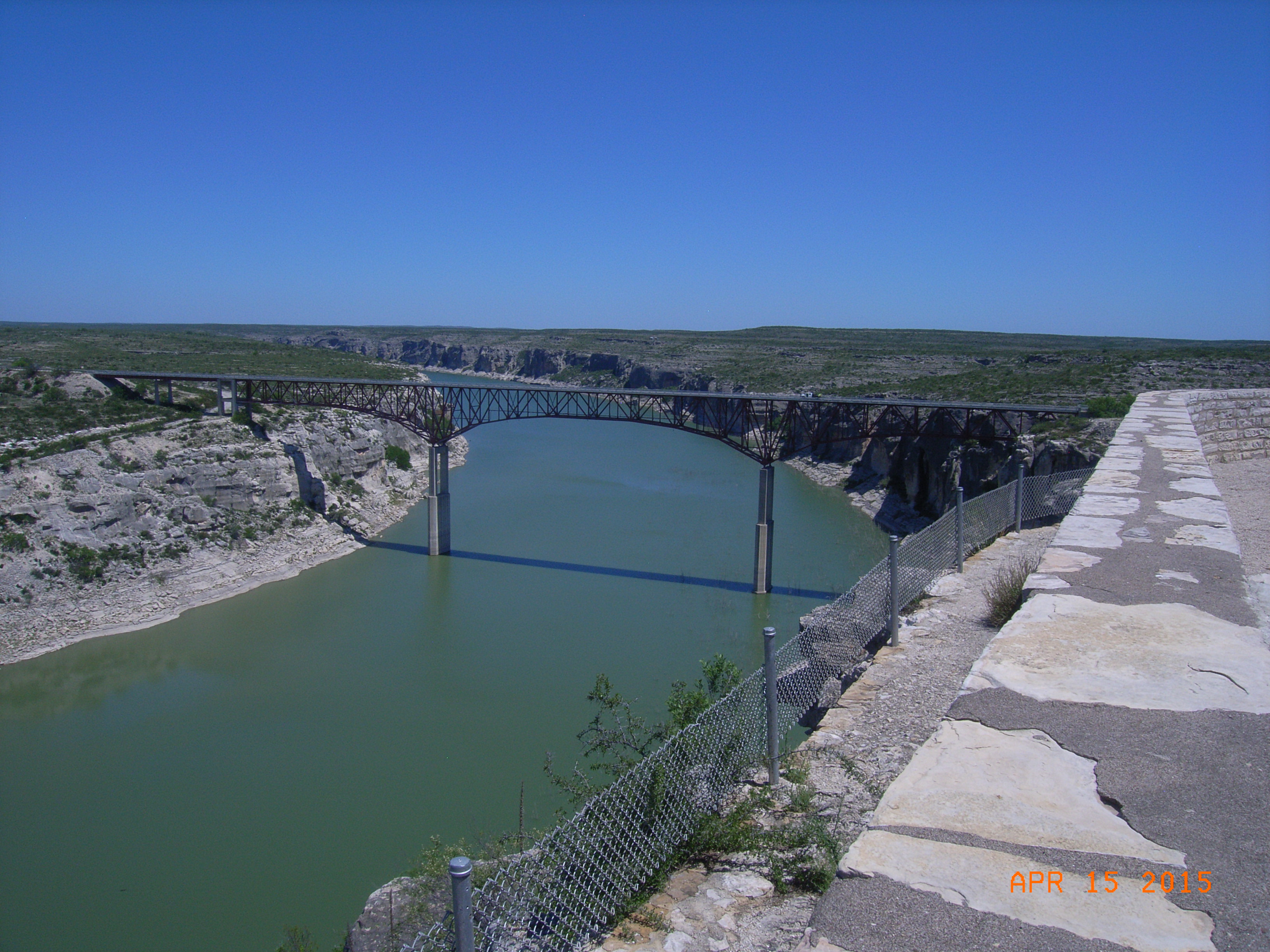
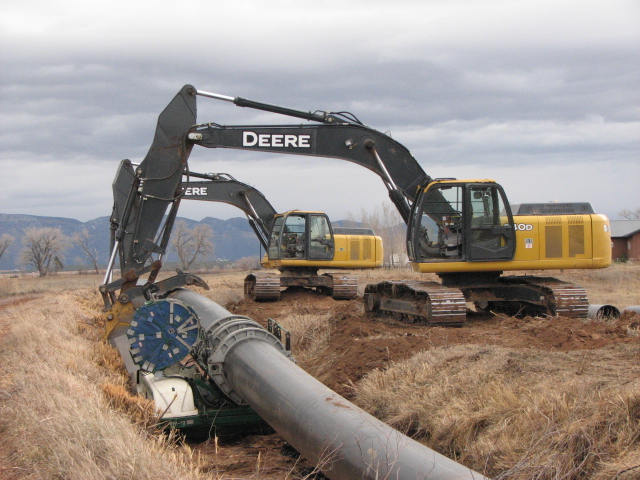
The Bureau of Reclamation has awarded a total of $37.2 million for 11 salinity control projects in Colorado and Wyoming through its Basinwide and Basin States Salinity Control Programs. When the salinity control features are installed, these projects will prevent approximately 23,426 tons of salt each year from entering the Colorado River.

“The projects, when complete, will help provide higher quality water to municipal and agricultural water users in Arizona, Nevada, and California, preventing economic damages,” said Kib Jacobson, program manager for Reclamation’s Colorado River Basin Salinity Control Program.

Economic damages caused by high salinity in the Colorado River water often means reduced crop yields for farmers, growing a more salt-tolerant but lower-value crop, or extra expenditure of water to remove salt from the soil. High salinity can also shorten the useful life of household appliances and increase water treatment and facility management costs.

These projects were selected through a competitive process, open to the public. Reclamation solicits, selects and awards grants through funding opportunity announcements to projects sponsored by non-federal entities that control salt loading in the Upper Colorado River Basin. One of the primary selection criteria is the lowest cost per ton of salt controlled. The average cost per ton of salt for those awarded this year is $60.22. This is comparable to average cost per ton of salt of the 2017 FOA that averaged $58 per ton of salt.

Project proposals often include funding from other sources, and this year an additional $8.7 million in funding will go toward the salinity control projects selected, for a total of $45.9 million.

Reclamation will distribute the $37.2 million over the next 3 to 5 years: $33.7 million for projects in western Colorado and $3.4 million in southwestern Wyoming.

To learn more about the Colorado River Basin Salinity Control Program and Reclamation’s Basinwide and Basin States Salinity Control Programs, visit http://www.usbr.gov/uc/progact/salinity. To learn more about the funding opportunity announcement process, visit grants.gov.

#Texas v. #NewMexico is on the docket at the U.S. Supreme Court

Pecos River at the High Bridge – upstream view. Photo credit: USGS

From Bloomberg Law (Ellen M. Gilmer):

The U.S. Supreme Court kicks off its new term next month with a unique “original jurisdiction” water dispute—the likes of which could become more common as the climate changes.

The justices are set to hear Texas v. New Mexico, virtually, on their first day of oral arguments Oct. 5. Original jurisdiction cases go straight to the high court, rather than working their way through lower benches first…

“The tradition has been the justices are not enthusiastic about hearing these cases because they involve such highly technical issues,” said University of Maryland law professor Robert Percival, who tracks environmental issues at the high court…

What’s on deck in Texas v. New Mexico?
Set for argument next month, Texas v. New Mexico involves the 1949 Pecos River Compact, which governs how the two states share water from the Pecos River, which runs more than 900 miles from northern New Mexico to western Texas.

The Supreme Court must decide whether a “river master” in charge of annual calculations gave New Mexico too much credit for water deliveries to Texas during a period of heavy rains and flooding from a major storm in 2014—when New Mexico stored water for its neighbor but ultimately lost some of it to evaporation.

The United States will argue as a friend-of-the-court supporting New Mexico in the case. The Bureau of Reclamation runs the New Mexico reservoir that held the water.

Does the case have broader impacts?
The dispute is an example of increasingly familiar situations in which decades-old water compacts don’t adequately account for population growth, economic shifts, and decreased rainfall and water storage capabilities, K&L Gates attorneys said in a recent analysis.

“As a result, these interstate compacts appear to be sometimes causing more disagreement than resolution,” attorneys Molly K. Barker, Natalie J. Reid, and Alyssa A. Moir wrote.

The Pecos River case will test the justices’ willingness to read water compacts strictly or flexibly, and to account for extreme weather and other changing circumstances, Craig said.

“It’s going to be interesting for seeing how the court tries to interpret these very old compacts in these situations that weren’t part of the bargain that states were initially striking,” she said…

What about future water disputes at the Supreme Court?
Two other interstate water cases are brewing before special masters, and could land on the Supreme Court’s calendar in a future term.

Texas is going up against both New Mexico and Colorado in a dispute over the Rio Grande Compact and how it treats groundwater that’s connected to the river. Mississippi and Tennessee are also fighting about groundwater in a closely watched case involving the states’ rights to a shared aquifer.

The cases are of particular interest as climate change affects water availability, University of Maryland’s Percival said.

“As climate change increases droughts and makes surface water increasingly scarce,” he said, “groundwater is where cities and states are increasingly turning for their water resources.”

A clear warning about the #ColoradoRiver — Writers on the Range #COriver #aridification

Graphic credit: Western Water Assessment

From Writers on the Range (Dave Marston):

For the West this summer, the news about water was grim. In some parts of California, it didn’t rain for over 100 days. In western Colorado, the ground was so dry that runoff at first evaporated into the air. And in New Mexico and Nevada, the rains never came.

Bill Hasencamp is the manager of California’s Metropolitan Water District, which provides treated water to 19 million people. What was most unfortunate, he said, was that, “the upper Colorado Basin had a 100 percent snowpack, yet runoff was only 54 percent of normal.” In 2018, a variation happened – light snow and little runoff, which doesn’t bode well for the future.

What everyone wants to know, though, is who loses most if severe drought becomes the norm…

What makes the Western Slope of Colorado most vulnerable to drought is a pact among seven states signed in 1922. It bound the states to give priority in a water crisis to the Lower Basin states of California, Arizona and Nevada, potentially leaving the Upper Basin states of Colorado, New Mexico, Utah and Wyoming high and dry.

A crisis could be approaching. The two giant reservoirs on the Colorado River are both below 50 percent of capacity. If drought causes even more drastic drops, the Bureau of Reclamation could step in to prioritize the making of electricity by the hydro plants at lakes Mead and Powell. No one knows what BuRec would do, but it would call the shots and end current arrangements.

Before that happened, California could “call” for the water it is owed — 4.4 million acre-feet annually. In that case, Wockner said, ranches and farms would be forced to go dry before city residents suffered.

For now, California has avoided flexing its muscle to get its fair share of the Colorado River. To stop the Colorado River’s reservoirs from dropping to “dead pool” where power generation fails, California acts as if serious drought never ended. Since 2000, when the punishing drought began, California has cut annual water consumption by 30 percent, using both carrot and stick.

California charges the highest water rates in the West and also pays for efficiency. Under a program called Cash for Grass, “A good size lawn removal can net a homeowner $30,000,” said Rebecca Kimitch, who works for the Metropolitan Water District.

The state also invests in smarter irrigation, piping leaky ditches in the Imperial Valley, the Colorado River’s biggest irrigator. And it invests in desalinization plants and reuses some of its water via a program that was first derided as “toilet-to-tap.” More recently, statewide laws restrict personal daily consumption to a measly 55 gallons, declining to 50 gallons by 2030.

As for the Upper Basin, states continue to push not for water conservation but for more dams and reservoirs that would drain water from the basin, such as the proposed St. George, Utah, Diversion from Lake Powell. John Fleck, Director of the water resources program at the University of New Mexico said, “it’s not a binary question of: Is there enough water? The way we need to think is that the system is at risk, and every time you take more water you create risks for existing users.”

Meanwhile, California is king of the Colorado River and wants you to know it.

“We’ll never give up that right – our first priority among all Colorado River water users — and never say we’ll give up that right,” Hassencamp told me. “ That’s our fallback position, though we’ll set it aside for now and try to work out a solution.”

For Colorado, Utah, Wyoming and New Mexico, this is a clear warning. As Hassencamp put it: “We recognize the pie is shrinking for good.”

Dave Marston is the publisher of Writers on the Range (writersontherange.org), a nonprofit dedicated to spurring lively conversation about the West.

Factcheck: How #globalwarming has increased US wildfires — Carbon Brief #ActOnClimate #KeepItInTheGround

From Carbon Brief (Zeke Hausfather):

Recently, some commentators have tried to dismiss recent increases in the areas burnt by fires in the US, claiming that fires were much worse in the early part of the century. To do this, they are ignoring clear guidance by scientists that the data should not be used to make comparisons with earlier periods.

The US National Interagency Fire Center (NIFC), which maintains the database in question, tells Carbon Brief that people should not “put any stock” in numbers prior to 1960 and that comparing the modern fire area to earlier estimates is “not accurate or appropriate”.

Here, Carbon Brief takes a look at the links between climate change and wildfires, both in the US and across the globe. As with any environmental issue, there are many different contributing factors, but it is clear that in the western US climate change has made – and will continue to make – fires larger and more destructive…

More area burned

Many areas of the western US are currently being ravaged by record-setting wildfires for the second year in a row. The Mendocino Complex fire in California is now the largest on record in the state, with firefighters expect the fires to keep burning for at least the rest of the month.

In California, 14 of the 20 largest wildfires on record have occurred over the past 15 years. At the same time, the western US has experienced some of its warmest temperatures on record, with 10 of the past 15 years among the 15 warmest years on record, based on temperature records from the US National Oceanic and Atmospheric Administration (NOAA).

According to data from the NIFC, there has been a clear trend in increased area burned by wildfires in the US since the 1980s, when reliable US-wide estimates based on fire situation reports from federal and state agencies became available.

Today, wildfires are burning more than twice the area than in the 1980s and 1990s. These figures include all wildland fires in both forested and non-forested areas. Most of the area burned today is in the western US, where dryer conditions tend to allow for large, quickly-spreading wildfires.

The black bars in the top panel of the figure below show the annual area burned (in acres) by wildfires since 1983 when reliable data became available. The blue line shows the linear trend in fires over the same period. The bottom panel shows all of the data in their database, including pre-1983 values where the data is of poorer quality.

The NIFC explicitly warns users on its website: “Prior to 1983, sources of these figures are not known, or cannot be confirmed, and were not derived from the current situation reporting process. As a result, the figures prior to 1983 should not be compared to later data.”

Annual wildland acres burned since reliable data was available in 1983 (top panel) and area burned since 1923 (bottom panel) showing periods when quality of data was poor and incomparable. Blue line in top panel shows linear trend. Data from the US National Interagency Fire Center; Chart by Carbon Brief using Highcharts.