Click the link to read the article on The Grand Canyon Trust website (Daryn Akei Melvin):
Spring/Summer 2024
Hydropower proposals raise major questions about tribal consent and consultation.
In the spring of 2018, I was invited to visit my partner’s family’s “sheep camp” in Nastł’a, a sprawling box canyon along the eastern edge of Black Mesa, west of the community of Chilchinbito, on the Navajo Nation.
That spring, my partner’s relatives had begun renovating their family home, a modest white stone house, where generations of the family had been raised, and which stood only a few hundred yards from the homes of other extended family members. The multi-generational connection to this place was palpable, for despite only having solar power and no running water, relatives both young and old were eager to lend a hand in the renovations that day.

Later, I was invited by my partner’s father to walk up the escarpment of Black Mesa, following trails used by generations of my partner’s family to reach their grazing lands along the mesa top. After an hour-and-a-half trek, we stood at the end of the trail, which was transected by a weathered barbed-wire fence that served as the boundary line between the Navajo and Hopi partitioned lands.
I turned around to look out over the valley below. Little did I know then that much of the dynamic and vibrant landscape I beheld, including the very ground on which I stood, would years later be at the center of three massive pumped storage hydroelectric projects proposed by a company organized by a French entrepreneur under the name Nature and People First Arizona.
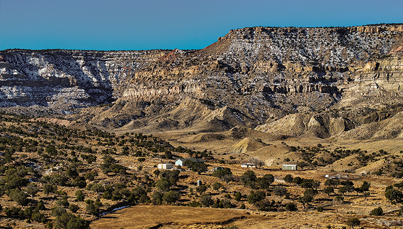
In 2022, Nature and People First Arizona applied for preliminary permits to assess the feasibility of building three hydropower projects on Black Mesa, a large plateau that extends across both Navajo and Hopi lands.

Per the project proposals filed with the Federal Energy Regulatory Commission, the three projects simply named Black Mesa South, Black Mesa East, and Black Mesa North would span roughly 40 miles of the Navajo Reservation, occupying the entire northeastern ridge of the mesa, from the community of Chilchinbito to the town of Kayenta.
What is pumped storage hydropower?
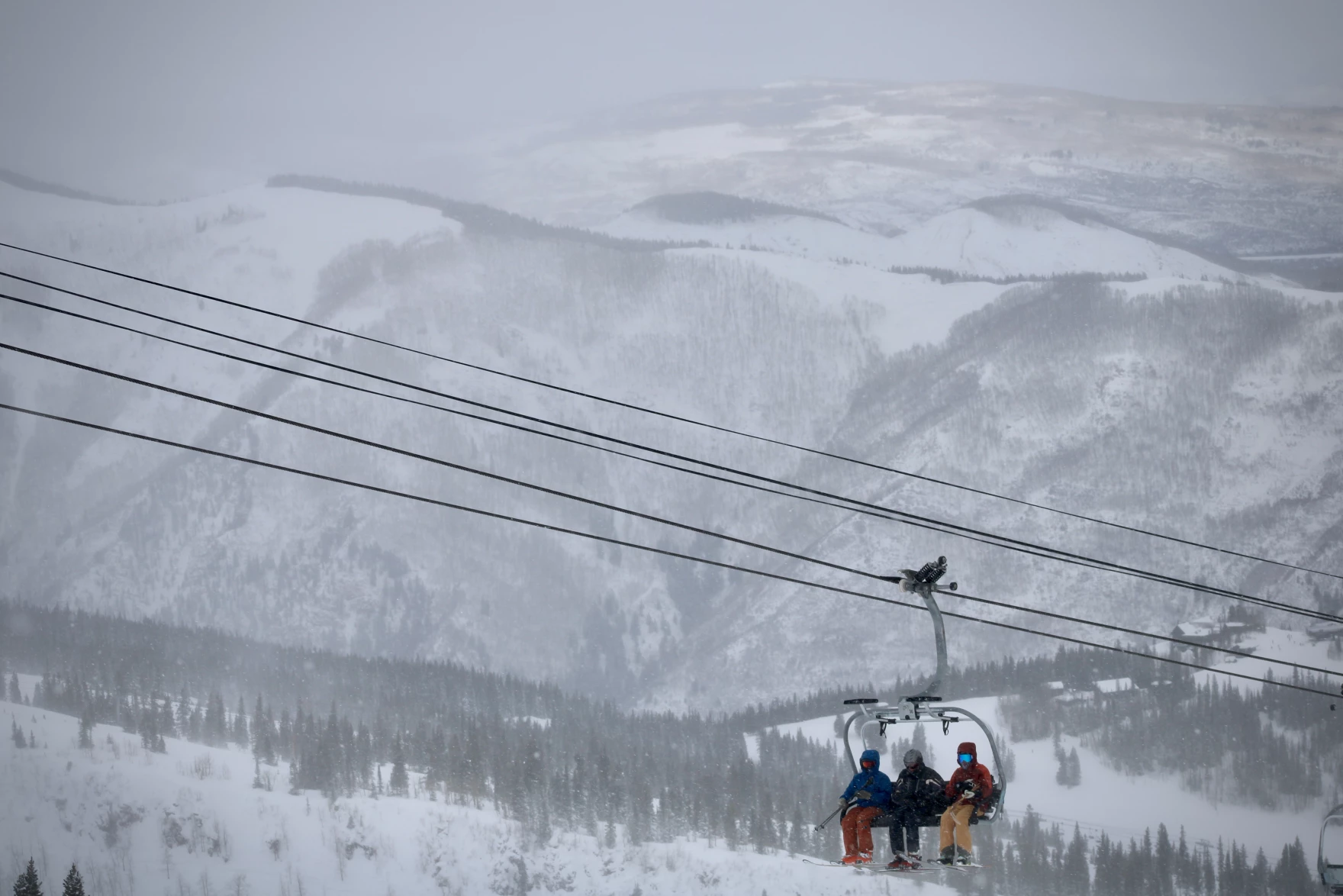
Pumped storage hydropower facilities are essentially low-tech batteries that store energy in the form of water and usually consist of two reservoirs, one above the other. In the case of Black Mesa, the upper reservoirs for the three projects would be placed atop the mesa, while the lower reservoirs would rest at the base of the mesa’s steep face.
Using surplus power from the grid, usually generated by solar or wind during the day, water from the lower reservoirs would be pumped to the upper reservoirs, and then when demand for power rose, water would be released from the upper reservoirs and propelled by gravity through a turbine, generating electricity before again emptying into the lower reservoirs.

Many Hopi footprints
As we stood at the boundary line overlooking Nastł’a, my partner’s father noted the footprints of a coyote.
“How do you say ‘coyote tracks’ in Hopi?” he asked, to which I responded, “iskukveni.”
The fact that this word found its way into our conversation that day was particularly apropos given that the Black Mesa area holds great historical and cultural significance for Hopi people, especially for those of the Isngyam (Coyote Clan). Furthermore, the word kukveni (footprints) serves as a powerful metaphor for Hopi people to comprehend our tangible heritage, whether it be the archaeological remains of former settlements like pottery sherds, stone tools, or petroglyphs, or other physical reminders of our past use and occupation of the land. In every sense, throughout Black Mesa there are indeed many Hopi footprints.
It was then I noticed that the footprints to which my partner’s father was referring went along the trail ahead of us and crossed under the barbed-wire fence of the boundary line. This brought a smile to my face as coyotes or their signs are often encountered on the road, for to be on the road is to be between situations, to be in transition.
It is perhaps not surprising then that this area, as an ancestral home of the Isngyam, would play a role in the push to transition the United States away from fossil fuels toward renewable “green energy.” This push, however, resulted in an explosion of dam proposals on tribal lands, and these numbers are likely to only increase given federal tax credits to support pumped storage hydropower projects under the Inflation Reduction Act.
Yet, despite being considered a renewable “green energy” option and touted as a means to replace some of the revenue, jobs, and power generation lost with the closure of Navajo Generating Station in 2019, pumped storage hydropower is not without its own issues, including how to fill the reservoirs.
Astonishing amounts of water
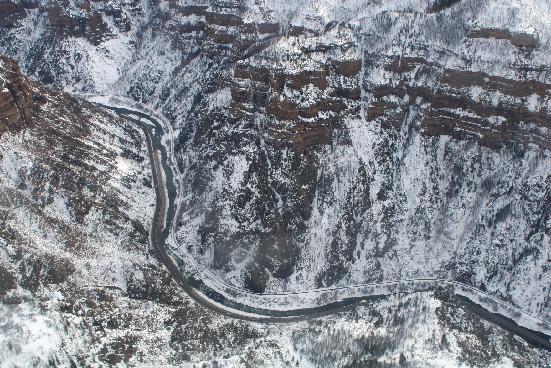
Filling the nine proposed reservoirs on Black Mesa would require an astonishing 147 billion gallons (450,000 acre-feet) of water, but in the applications for preliminary permits the developer was vague on the details of where that water would come from. The applications cited the Colorado River, the San Juan River, and two local aquifers as possible sources but did not indicate the current availability of or legal rights to these sources.
That means that, potentially, the projects could pump groundwater that has fed the springs and streams of Navajo and Hopi lands for millennia. Over the last century, groundwater has been drawn down by coal mining, power plants, growing populations, and, up until 2005, a slurry line that pumped billions of gallons of water to move coal from the mine in Kayenta to the Mohave Generating Station approximately 273 miles west.
The prospect of adverse cultural, ecological, and environmental impacts has consequently drawn much more opposition than support when it comes to Black Mesa and other pumped storage dam projects proposed on tribal lands.
The Navajo Nation’s Department of Justice, 19 Navajo Nation chapters (local governments), members of the Hopi public, and various grassroots and conservation groups filed comments, concerns, and questions regarding the Black Mesa projects and urged the Federal Energy Regulatory Commission to deny Nature and People First Arizona’s requested preliminary permits due to the wildly unrealistic nature of the proposals in the arid Southwest, as well as their compounding effects after decades of harm to the people, land, and aquifers of Black Mesa from coal mining.

Investigating for ourselves
My own personal experience of the Black Mesa area is colored by the contentious Peabody Coal mining operations of the past, for as a child I would occasionally accompany itàapa’pa (our grandfather), a Coyote Clan member, on his visits to the Black Mesa area. During these outings he often lamented the harms the mining operations caused to the land, and the depletion of the most significant water source in the region. He recounted the controversial means by which the Hopi tribal government entered into its lease agreements with Peabody Western Coal Company in the 1960s and how such agreements were negotiated by prominent natural resources attorney John Boyden, who claimed to be representing the Hopi Tribe while actually on the payroll of Peabody. This subterfuge ultimately resulted in unusually advantageous terms for Peabody and gross misrepresentations to the Hopi people of the mine’s impacts on their land.
“Okiwa, kur paàsat itam nu’an una’i’istu — Regrettably, then we were oh so gullible,” our grandfather said.
I recall being particularly amused by his use of the term una’i’ist as it references those who share in the gullible nature of his wu’ya (clan totem), Coyote, who is prone to believe anything he is told and is therefore easily duped. Yet, as the motifs of Hopi coyote tales are in fact meant to demonstrate the ways in which one should not live, his comment also serves as an admonition that people would do well to question things. For as our grandfather often also said when speaking about his wu’ya, “Pu’ Iisaw piw pas hìita aw poòte’ningwu — It is also Coyote’s nature always to investigate things for himself.”
Unfortunately, the ability of tribal communities and governments to holistically investigate and assess the positive and negative implications of large-scale projects on their lands, particularly as they endeavor to balance humanitarian and economic needs with cultural preservation and environmental protection, is something that has been historically lacking.
Case in point, historically the Federal Energy Regulatory Commission has not been required to consult with or obtain the consent of the tribe on whose land a project was being proposed before issuing a preliminary permit. In fact, the commission wasn’t even required to notify a tribe when a project had been proposed on its tribal lands.
The need to remedy this oversight became even more apparent in 2020, after preliminary permits were issued for two pumped storage hydropower projects on the lower Little Colorado River not far from its confluence with the Colorado River in the Grand Canyon and within the sovereign borders of the Navajo Nation despite objections by the Navajo Nation, the Hopi Tribe, and the Hualapai Tribe. A third proposal to dam nearby Big Canyon for hydropower has been pending since 2020.
Update: On April 25, 2024, the Federal Energy Regulatory Commission struck down the proposed Big Canyon Dam. Read more ›
Following several years of community conversations on the Navajo Nation and in Hopi villages, and informed by the concerns community members voiced, on February 6, 2024, the Hopi Tribe passed Resolution 010-2024 in which the Hopi Tribal Council resolved to petition the Federal Energy Regulatory Commission to update its rules to require tribal consultation and consent for granting preliminary permits for hydroelectric projects on tribal lands.
Less than a week after Hopi’s decision, in a historic reversal of past precedent, the commission denied seven preliminary permits for pumped storage hydropower projects across the Navajo Nation, including all three of the Black Mesa storage projects, citing opposition from the Navajo Nation.

In these orders, the commission announced a new policy: “the Commission will not issue preliminary permits for projects… if the Tribe on whose lands the project is to be located opposes the permit.”
The commission didn’t immediately strike down the Big Canyon project, but instead opened an additional 30-day comment period, likely intended to provide the Navajo Nation an opportunity to make a clear statement about whether or not it opposes the project.
The Hopi Tribe is currently reviewing the Federal Energy Regulatory Commission’s new policy on tribal consent and speaking with other tribes as potential cosigners on a formal petition urging the commission to establish additional requirements governing tribal consultation and consent before preliminary permits can be issued on tribal lands. Regardless, this recent reversal in policy, at the very least, stands in recognition of tribal sovereignty, grants tribes a legal means of determining the kinds of hydropower projects that happen on their lands, and is a positive, proactive step toward true self-determination and governance for Native people.
Daryn Akei Melvin works as a Grand Canyon manager for the Grand Canyon Trust with a focus on addressing issues related to the Little Colorado River.
EDITOR’S NOTE: The views expressed by Advocate contributors are solely their own and do not necessarily represent the views of the Grand Canyon Trust.