
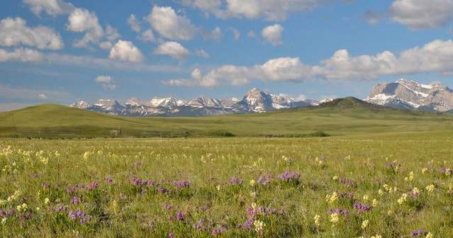
Ellen Wohl, CC BY-ND
Ellen Wohl, Colorado State University
The Trump administration is proposing to redefine a key term in the Clean Water Act: “Waters of the United States.” This deceptively simple phrase describes which streams, lakes, wetlands and other water bodies qualify for federal protection under the law.
Government regulators, landowners, conservationists and other groups have struggled to agree on what it means for more than 30 years. Those who support a broad definition believe the federal government has a broad role in protecting waters – even if they are small, isolated, or present only during wet seasons. Others say that approach infringes on private property rights, and want to limit which waters count.
I study rivers, and served on a committee that reviewed the science supporting the Obama administration’s 2015 Clean Water Rule. This measure, which defined waters of the United States broadly, is what the Trump administration wants to rewrite.
The Trump proposal goes completely against scientists’ understanding of how rivers work. In my view, the proposed changes will strip rivers of their ability to provide water clean enough to support life, and will enhance the spiral of increasingly damaging floods that is already occurring nationwide. To understand why, it’s worth looking closely at how connected smaller bodies of waters act as both buffers and filters for larger rivers and streams.
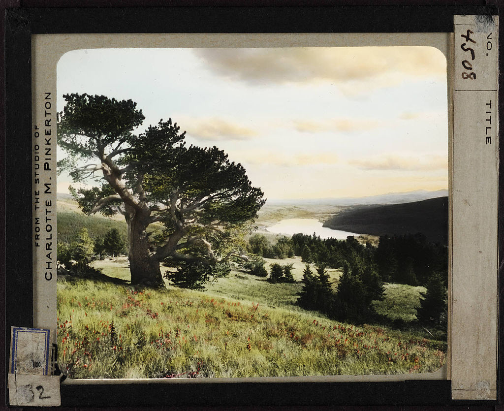
Ellen Wohl, CC BY-ND
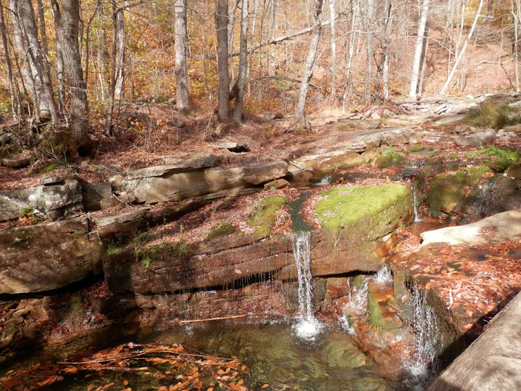
Parts of a whole
The fact that something is unseen does not make it unimportant. Think of your own circulatory system. You can see some veins in your hands and arms, and feel the pulse in your carotid artery with your finger. But you can’t see the capillaries – tiny channels that support vital processes. Nutrients, oxygen and carbon dioxide move between your blood and the fluids surrounding the cells of your body, passing through the capillaries.
And just because something is abundant does not reduce each single unit’s value. For example, when we look at a tree we tend to see a mass of leaves. The tree won’t suffer much if some leaves are damaged, especially if they can regrow. But if it loses all of its leaves, the tree will likely die.
These systems resemble maps of river networks, like the small tributary rivers that feed into great rivers such as the Mississippi or the Columbia. Capillaries feed small veins that flow into larger veins in the human body, and leaves feed twigs that sprout from larger branches and the trunk.
Microbes at work
Comparing these analogs to rivers also is apt in another way. A river is an ecosystem, and some of its most important components can’t be seen.
Small channels in a river network are points of entry for most of the materials that move through it, and also sites where potentially harmful materials can be biologically processed. The unseen portions of a river below the streambed function like a human’s liver by filtering out these harmful materials. In fact, this metaphor applies to headwater streams in general. Without the liver, toxins would accumulate until the organism dies.
As an illustration, consider how rivers process nutrients such as nitrogen and phosphorus, which are essential for plant and animal life but also have become widespread pollutants. Fossil fuel combustion and agricultural fertilizers have increased the amount of nitrogen and phosphorus circulating in air, water and soil. When they accumulate in rivers, lakes and bays, excess nutrients can cause algal blooms that deplete oxygen from the water, killing fish and other aquatic animals and creating “dead zones.” Excess nitrogen in drinking water is also a serious human health threat.
River ecosystems are full of microbes in unseen places, such as under the roots of trees growing along the channel; in sediments immediately beneath the streambed; and in the mucky ooze of silt, clay, and decomposing leaves trapped upstream from logs in the channel. Microbes can efficiently remove nutrients from water, taking them up in their tissues and in turn serving as food for insects, and then fish, birds, otters and so on. They are found mainly in and around smaller channels that make up an estimated 70 to 80 percent of the total length of any river network.
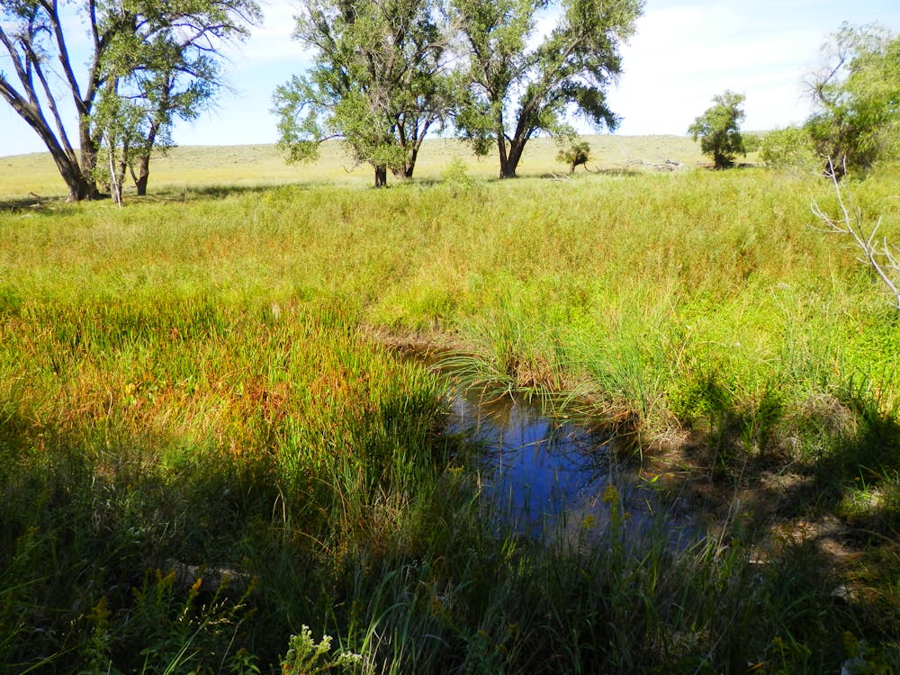
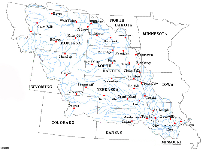
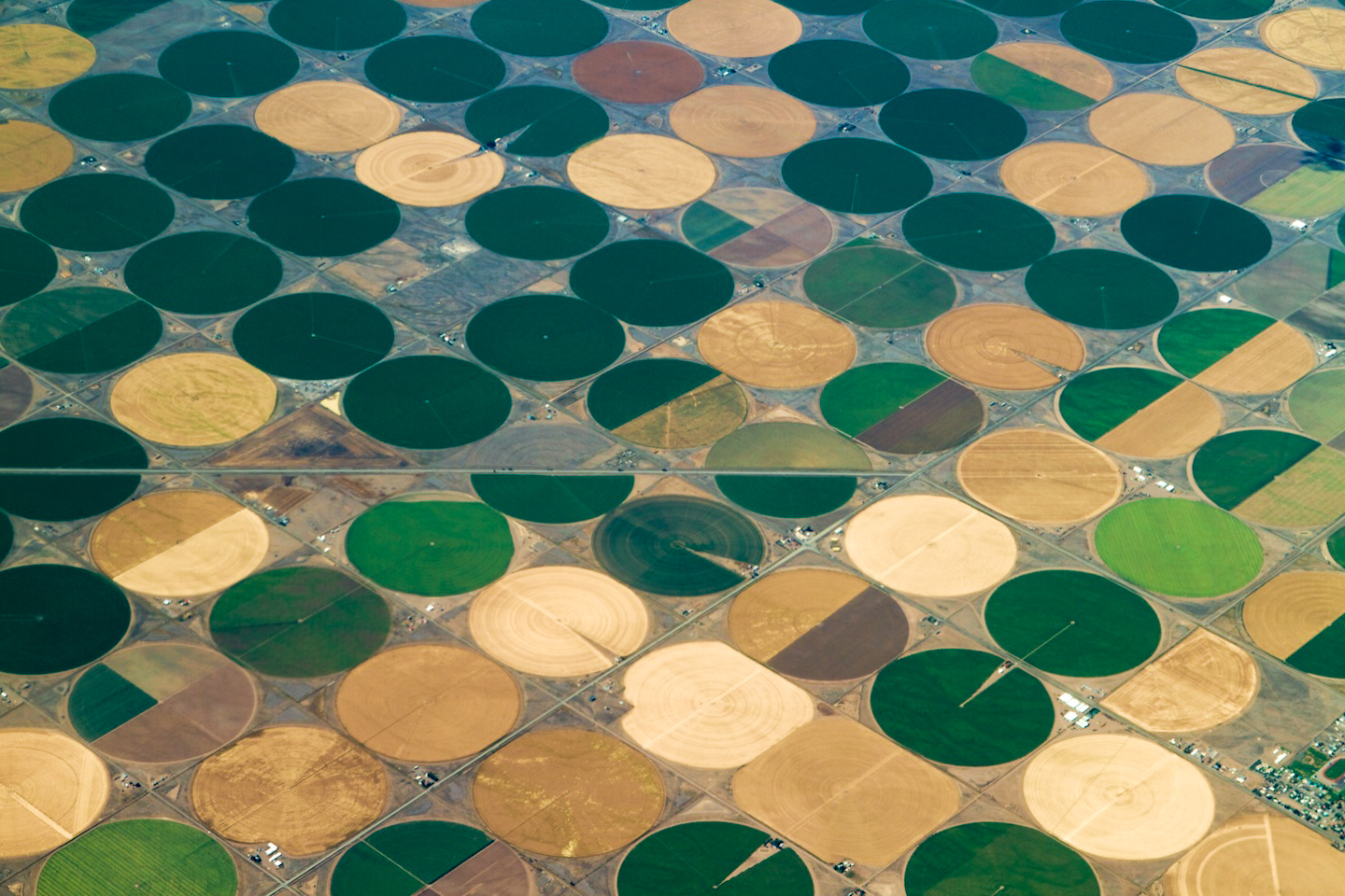
Missouri River Water Trail, CC BY-ND
Water does not necessarily move very efficiently through these small channels. It may pond temporarily above a small logjam, or linger in an eddy. Where a large boulder obstructs the stream flow, some of the water is forced down into the streambed, where it moves slowly through sediments before welling back up into the channel. But that’s good. Microbes thrive in these slower zones, and where the movement of dissolved nutrients slows for even a matter of minutes, they can remove nutrients from the water.
Flood control and habitat
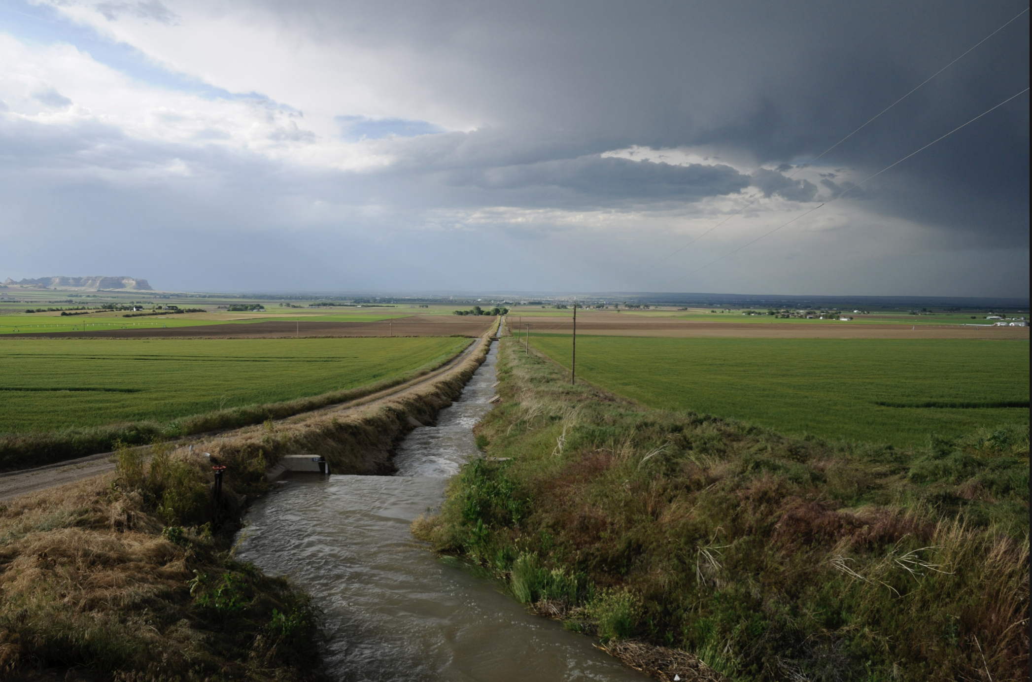
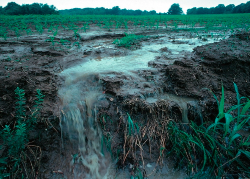
Other critical processes, such as flood control, take place in small upstream river channels. When rain concentrates in a river fed by numerous small streams, and surrounded by bottomland forests and floodplain wetlands, it moves more slowly across the landscape than if it were running off over land. This process reduces flood peaks and allows more water to percolate down into the ground. Disconnect the small streams from their floodplains, or pave and plow the small channels, and rain will move quickly from uplands into the larger channels, causing damaging floods.
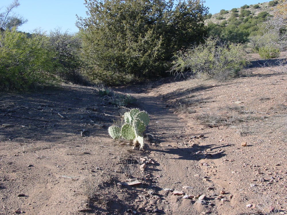
These networks also provide critical habitat for many species. Streams that are dry much of the year, and wetlands with no surface flow into or out of them, are just as important to the health of a river network as streams that flow year-round.
Marvelously adapted organisms in dry streams wait for periods when life-giving water flows in. When the water comes, these creatures burst into action, with microbes removing nitrate just as in perennially flowing streams. Amphibians move down from forests to temporarily flooded vernal wetlands to breed. Tiny fish, such as brassy minnows, have waited out the dry season in pools that hold water year-round. When flowing water connects the pools, the minnows speed through breeding and laying eggs that then grow into mature fish in a short period of time.
Ellen Wohl, CC BY-NC
Scientific sleuthing with chemical tracers has shown that wetlands with no visible surface connection to other water bodies are in fact connected via unseen subterranean pathways used by water and microbes. A river network is not simply a gutter. It is an ecosystem, and all the parts, unseen or seen, matter. I believe the current proposal to alter the Clean Water Act will fundamentally damage rivers’ ability to support all life – including us.![]()
Ellen Wohl, Professor of Geosciences, Colorado State University
This article is republished from The Conversation under a Creative Commons license. Read the original article.


