
Click here to go to the NOAA Satellite and Information Service website. Here’s an excerpt:
Three of the VIIRS instrument’s 22 channels that measure different bands of the electromagnetic spectrum are used to create these photorealistic snapshots of the planet. The images are made by combining the RGB color channels 5, 4, and 3 (which are sensitive to the red, green, and blue wavelengths of light respectively) to create “true color” images. Several other channels are often also included to cancel out atmospheric interference, such as clouds and aerosols, which can cause a blurry picture.
With 22 channels available, VIIRS’s allows for a variety of different combinations allowing for vastly different images of the same thing. For example, the images below were both created using data provided by the Suomi NPP satellite’s VIIRS instrument. These images show the exact same storm only one day apart and represent just two of the many ways the VIIRS instrument can capture a storm. By using different channels and light wavelengths you get two drastically different views, revealing different features of the same storm.
 This image is a “true color” RGB image of Tropical Storm Erika on August 25, 2015 from NOAA’s NOAAView Credit: NOAA
 This image is a VIIRS IR image using band 5 of Tropical Storm Erika taken during an overnight pass on August 26, 2015 Credit: NOAA/NASA RAMMB/CIRA
“True Color” RGB composites (such as the first image) are used for many applications including differentiating snow, ice, smoke, and ash from clouds, or even the boundaries between warm and cold air masses.
Infrared images (such as the second image) can help, among other things, identify the location of a storm’s eye.
Other VIIRS multi-band images, like those created by the VIIRS day/night band and high resolution infrared channel, are also available for scientists and forecasters.
Examples of these images can be found at: http://www.jpss.noaa.gov/media_gallery-p2.html
Click here for more on NOAA/NASA Suomi NPP and the JPSS mission!
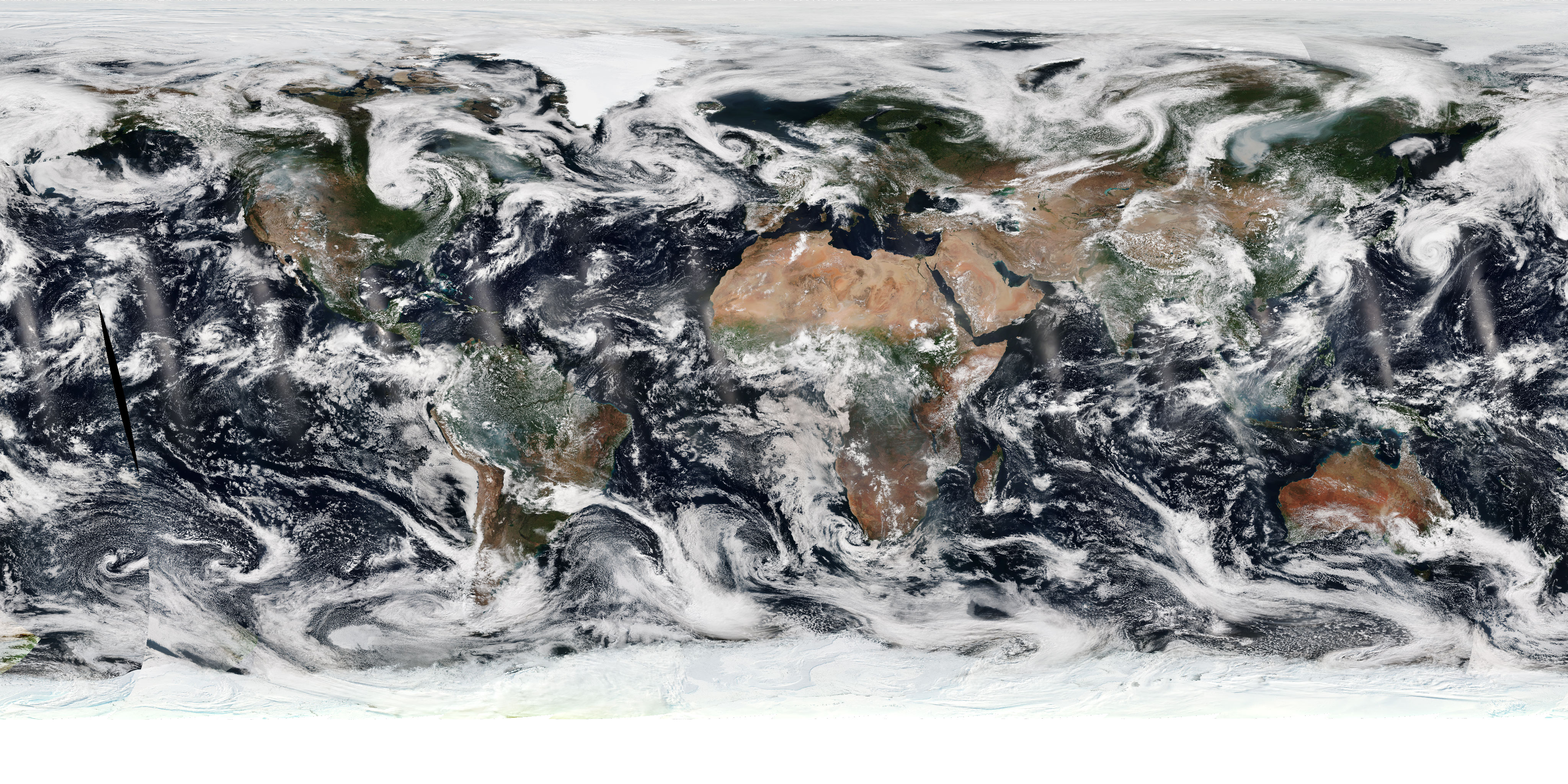
A global VIIRS true color image is available daily at http://www.nnvl.noaa.gov/view/#TRUE.