Water Rights in Real Estate Contracts: What You Need to Know — Kara Godbehere

Click here to read Kara Godbehere’s post. Here’s an excerpt:

The standard Colorado Real Estate Commission form “Contract to Buy and Sell Real Estate” covers water rights under Paragraph 2.7 (“Water Rights, Well Rights, Water and Sewer Taps”). It’s important for real estate attorneys and brokers to understand what these provisions mean, and when the advice of a water attorney could be helpful (and maybe even save some time and money).

A water right is a conveyance in real property, generally conveyed in the same manner (see CRS 38-30-102). However, water rights records in my experience are notoriously unreliable. Title insurance companies DO NOT INSURE water rights, so the conveyancing documents are up to the seller or their attorney, and are often not specific. Sometimes they aren’t recorded at all, and often they contain vague language such as “any and all water rights.” It can be difficult to know what you are getting based on the language in a real estate contract or even the seller’s deed.

So what do attorneys and brokers need to be aware of in a typical real estate transaction? Let’s start with Paragraph 2.7.1, “Deeded Water Rights.” I advise broker clients to call me if they see deeded water rights, especially ditch company rights (all of the following information/recommendations regarding Paragraph 2.7.1 are equally applicable to paragraph 2.7.4, “Water Stock Certificates”). For deeded water rights you want to verify title in the seller with the ditch company’s records (or records of the managing entity – irrigation district, water company, etc.) and the county clerk and recorder’s records. Remember, ditch stock conveyances do not have to be recorded, and because they aren’t insured, they will not be included in your title commitment – nor will they be insured by your title policy! I have had remorseful buyers and even agents tell me, “but this water issue didn’t show up in the title commitment! How could we have known!” and the answer is, you should have performed your own due diligence or hired an attorney to do it for you. Always independently verify title to deeded water rights and investigate any decrees associated with the rights. You’ll also want to review the bylaws/rules/regulations of any ditch company or special district that may have administrative authority over the rights, and make sure any requirements of those entities are met during the conveyancing process.

Northern Colorado Water User's Association stock certificates photo via the Colorado Water Institute
Northern Colorado Water User’s Association water stock certificate photo via the Colorado Water Institute

Pueblo County gives federal Bureau of Reclamation land access for Arkansas Valley Conduit field work

Arkansas Valley Conduit Comanche North route via Reclamation

From The Pueblo Chieftain (Jon Pompia):

In a brief meeting Monday, the Pueblo County commissioners approved a resolution granting permission to the federal Bureau of Reclamation to access county property for field work associated with the proposed Arkansas Valley Conduit.

Reclamation officials will conduct surveys and soil testing related to the conduit alignment, the commissioners learned. The county will be notified by Reclamation before entry onto county property is taken.

In voting to OK the resolution, Commissioner Liane “Buffie” McFadyen noted, “It makes me a bit more optimistic it (the conduit) could happen in my lifetime.”

@USGS: Groundwater Discharge to Upper #ColoradoRiver Basin Varies in Response to #Drought #COriver

Spring sampling location along Little Sandy River in southern Wyoming. Photo credit: Chris Shope, USGSPublic domain

Here’s the release from the USGS:

USGS scientist collects noble gas sample from spring site near Roaring Judy, Colorado. Photo credit: Bert Stolp, USGS. Public domain

Assessing age of groundwater to determine resource availability

Groundwater discharge that flows into the Upper Colorado River Basin varies in response to drought, which is likely due to aquifer systems that contain relatively young groundwater, according to a new U.S. Geological Survey study published in Hydrogeology Journal.

The Colorado River and its tributaries provide water to more than 40 million people in seven states, irrigate more than 5.5 million acres of land, and support hydropower facilities. More than half of the total streamflow in the UCRB originates from groundwater. Reductions in groundwater recharge associated with climate variability or increased water demand will likely reduce groundwater discharge to streams.

This is the first study that examines the short-term response of groundwater systems to climate stresses at a regional scale by assessing groundwater age. USGS scientists determined the age of groundwater by sampling the water flowing from nineteen springs in the UCRB. Age-tracing techniques can assess how long it takes groundwater to travel from the time it enters the aquifer system as precipitation to when the groundwater exits to springs and streams. Scientists compared eight of the springs with historical discharge and precipitation records with the groundwater age to better understand how aquifers have responded to drought. These findings helped scientists understand the variability and timing of groundwater discharge associated with drought.

“About half of the springs analyzed in the Upper Colorado River Basin contained young groundwater, which was surprising,” said USGS scientist and lead author of the study John Solder. “These findings suggest that shallow aquifers, which are more responsive to drought than deeper systems, may be significant contributors to streamflow in the region.”

Results show that if springs contain mostly older water, groundwater discharge is less variable over time and takes longer to respond to drought conditions. Springs that contain predominately young water, around 80 years old or less, are more likely to vary seasonally and respond rapidly to drought conditions. These results indicate that young groundwater resources are responsive to short-term climate variability.

“Sampling 19 springs in a very large basin is just the start, and further studies are needed to better understand the groundwater resources of this specific region,” said Solder. “Determining groundwater age has promise in predicting how these systems will respond in the future and allows us to assess resource vulnerability where no historical records are available.”

This study was funded by the USGS National Water Census, a research program focusing on national water availability and use at the regional and national scales. Research is designed to build decision support capacity for water management agencies and other natural resource managers.

Water quality and sampling equipment deployed at spring site near Roaring Judy, Colorado. Public domain

#Colorado awards 1st grants for collaborations with Israeli companies — @9News

Subsurface irrigation via NETAFIM

From the Denver Business Journal via 9News.com:

Colorado Economic Development Commission members offered the first three matching grants on Wednesday to companies participating in a new program that helps to fund research-and-development projects if they are working collaboratively with businesses or universities located in Israel.

Announced in April, the program comes from a close relationship that Gov. John Hickenlooper has developed with Israeli Prime Minister Benjamin Netanyahu through several visits overseas in recent years. It’s meant to foster even deeper work between companies working on advanced-industry projects in areas such as technology and water conservation.

#Colorado Springs to spend $460 million on Storm Water Improvement Plan — KRDO

Channel erosion Colorado Springs July 2012 via The Pueblo Chieftain

From KRDO:

The city of Colorado Springs plans to spend around $460 million over the next 20 years on its Storm Water Improvement Plan.

To see the plan, click here

The city is asking anyone in the community that has suggestions or comments regarding this plan to contact Richard Mulledy, the City’s Stormwater Division Manager at rmulledy@ springsgov.com or by mail to: Richard Mulledy, Stormwater Division Manager, City of Colorado Springs, 30 S. Nevada Avenue, Suite 401, Colorado Springs, CO 80901.

The Department of Natural Resources grossly misreported the cost of the #COWaterPlan — The #Colorado Independent

The time to address water planning is before the reservoirs run dry.

From The Colorado Independent (Marianne Goodland):

Gov. John Hickenlooper’s administration vastly miscalculated the cost of Colorado’s first statewide water plan.

Earlier this month, the Colorado Department of Natural Resources provided The Colorado Independent with the total cost of the state water plan: nearly $6 million. But that number turned out to be more $2 million too high. State officials confirmed this week that the true cost of the water plan is actually $3,885,951, not including staff costs.

So what caused such an egregious error? The Department of Natural Resources says that almost $1 million of the discrepancy came from a simple miscalculation. A staff member accidentally double-counted the cost of the joint implementation plan submitted by metro Denver and South Platte River water stakeholders, one of eight regional implementation plans throughout the state.

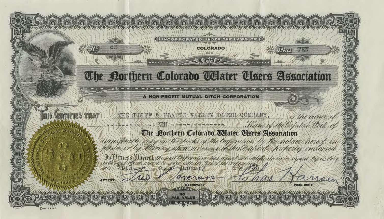
These implementation plans are developed by nine regional stakeholder groups, known as basin roundtables, which are made up of representatives of water providers, plus environmental, recreational, industrial and agricultural water users. Each of the nine basin roundtables oversees a major river basin in the state, including the North Platte, the South Platte, the Arkansas, the Colorado, the Gunnison, the Yampa and the Rio Grande. Except for the Denver and South Platte roundtables, which worked jointly, each developed its own plan.

The implementation plans developed by these nine roundtables form the heart of the Colorado Water Plan. But they also include water projects, which aren’t listed in the state water plan itself, that are aimed at finding at least another 1 million acre-feet of water by 2050. One acre-foot is equal to the amount of water it would take to cover the field at Mile High Stadium, from endzone to endzone, with one foot of water – about 326,000 gallons. It’s about enough to quench the needs of four families per year. Multiply that by a million and you get the state’s projected water shortage for 2050, which many water experts say is a lowball estimate.

The rest of the error came from counting grant money that was ultimately not used. DNR spokesman Todd Hartman told The Independent that the original, nearly-$6 million figure included about $1.2 million in grant money, approved by the basin roundtables, that was not actually used to develop the plans. That means the roundtables spent about $3.6 million developing their plans, not the $5.6 million originally reported.

The department also shelled out $287,263 to write up and print the plan and to roll it out in a public presentation at History Colorado last November. That brings the total to $3,885,951.

So what did the basin roundtables spend that $3.6 million on? Most of the money went to pay consultants and project personnel to put together the basin implementation plans.

For example: the Colorado River basin roundtable spent $350,000 in two phases to compile its document. The funding came from a severance tax on revenues that oil and gas and mining companies pay to extract minerals in the state.
There’s one other cost tied to the water plan: more than $30,000 spent by lawmakers and nonpartisan staff who traveled around the state last year to hear from stakeholders about the water plan’s draft versions.

Lawmakers on the interim Water Resources Review Committee were tasked with holding forums in the nine basin areas, which took place between July and October of 2015.

These forums were authorized by legislation passed in 2014, with a two-year appropriation of $28,872. Of that, $25,572 was allocated for lawmaker and staff travel; the last $3,300 was for advertising the forums.

But the travel costs, at $32,481.52, exceeded the appropriation by nearly $7,000.

With those travel costs added in, the water plan’s tab is at $3,918.432.52. That doesn’t include the cost of hours for CWCB staff during the project’s two-year development, including the cost of travel and time for presentations made by Colorado Water Conservation Board chief James Eklund; nor does it include the cost of hours for Legislative Council staff who traveled with lawmakers a year ago.

What did taxpayers get for their nearly $4 million investment?

Not much, critics of the water plan say. Last year, Sen. Ellen Roberts, a Durango Republican who chairs the interim water committee, told the Colorado Water Conservation Board that the public input the committee gathered showed Coloradans wanted more more specifics in the plan to explain how the state will implement solutions. In a September 30 letter to the CWCB, Roberts said the plan should address how the state will come up with the estimated $20 billion required to pay for the water needed to make up for the projected shortfall.

Russ George is a former Speaker of the House from Rifle and former executive director of the Department of Natural Resources under then-Gov. Bill Owens. He sits on the water conservation board, and said of the plan’s roll-out last November that while the plan lacked actionable solutions, it was more of a “scientific document” than a political one. The plan is a “foundation to begin having the political conversation,” he told The Independent.

There has been some preliminary action on the plan since then. During the 2016 session, lawmakers adopted an annual projects bill for the water conservation board that includes $5 million for water plan implementation. That annual appropriation, according to the bill’s fiscal analysis, is to continue indefinitely, and is to be used for “studies, programs and projects” that will help implement the plan.

The projects bill also includes $1 million to continue work on an ongoing initiative to identify and track the state’s water shortage; $200,000 to fund the planning and construction of the Windy Gap Firming Project, one of the identified projects in the South Platte/Denver implementation plan; and $1 million for a reservoir dredging project, to be developed and jointly paid for with a water provider.

While a specific project isn’t identified in the bill, there are several reservoirs around the state that need dredging to clean out silt. Those are mentioned in basin implementation plans, according to Eklund, but not in the state plan.

Algae: Bioindicators of Water Pollution — @_evolvingplanet

Blue-Green algae bloom

From TheEvolvingPlanet.com (Lornajane Altura):

Algae, an important bacterial and plant group in water ecosystems, are significant bioindicators in water quality evaluations. They are well suited for assessing water quality because of their short life cycle, fast rate of reproduction, and their nutrient needs. Algae are great determinants of the conditions in environments because they quickly respond to densities in a wide range of water conditions because of differences in water chemistry. An example is the change in the composition of genera because of the increase in acidity of water due to acid-forming chemicals that affect lake pH levels.

Eutrophic conditions are of great importance from the perspective of ecology and public health. The abundance of nutrients that contain nitrogen and phosphorus that flow into streams, lakes, rivers, and reservoirs greatly affect the water quality system. The ratio of nitrogen to phosphorus determines which algae genera are present, absent, or dominant in water systems that are affected by these nutrients. Commercial fertilizers that are utilized for agriculture and lawns, household laundry detergents, stormwater runoff, and organic pollution that includes livestock waste and leaky septic tanks are sources of these inorganic compounds. High densities of algae growth that result in algal blooms that annoy or produce toxins are evidence that lakes and reservoirs are recipients of these sources of pollution. Microscopic analysis of water samples from these bodies of water finds the density and diversity of these algal species that provide initial warning signs of degrading environmental conditions.

Lower Arkansas Valley Water Conservancy District board meeting recap

View of runoff, also called nonpoint source pollution, from a farm field in Iowa during a rain storm. Topsoil as well as farm fertilizers and other potential pollutants run off unprotected farm fields when heavy rains occur. (Credit: Lynn Betts/U.S. Department of Agriculture, Natural Resources Conservation Service/Wikimedia Commons)

From The Pueblo Chieftain (Chris Woodka):

A district formed in 2002 to keep water in the Arkansas Valley is turning its attention toward the quality of that water.

“We cannot stick our heads in the sand,” General Manager Jay Winner told the Lower Arkansas Valley Water Conservancy District board Wednesday. “There’s going to be a paradigm shift to water quality.”

Winner’s comment followed an assessment of how state regulations on nutrients in water will shift in the near future by Peter Nichols, the district’s attorney and a former chairman of the Colorado Water Quality Control Commission.

Nichols explained that four large dischargers in the Arkansas River basin — Colorado Springs, Pueblo, Fountain and Security — are headed toward state standards that will require them to further treat discharged wastewater to meet numeric standards for nutrients by 2022.

In addition, there will be more limits on nonpoint source pollutants, those which do not have a defined source. While the state enforces water quality, the directives are issued by the federal Environmental Protection Agency.

“What they’ll look at is whether the levels are protective to uses downstream,” Nichols said.

That would affect the largest user of water in the basin: large-scale, commercial irrigated agriculture.

“This is a very large problem,” Nichols said. “The state has taken an incremental approach to fund projects to get (the numbers) under control.”

The Lower Ark has taken an active role in flood control on Fountain Creek and the Arkansas River in the past, Winner said. It will now be more concerned about projects that improve water quality as well.

There also is concern that regulations for irrigators on water quality could tighten, and the Lower Ark’s Super Ditch program, which fallows some land so water can be leased, would benefit water quality, according to ongoing studies by Colorado State University- Fort Collins.

The Lower Ark also is developing a pilot project on 2,000 acres to see how improvements like sprinklers or drip systems could improve water quality. This would complement past studies that show water quality gains by changing irrigation patterns.