
The Grand River Ditch
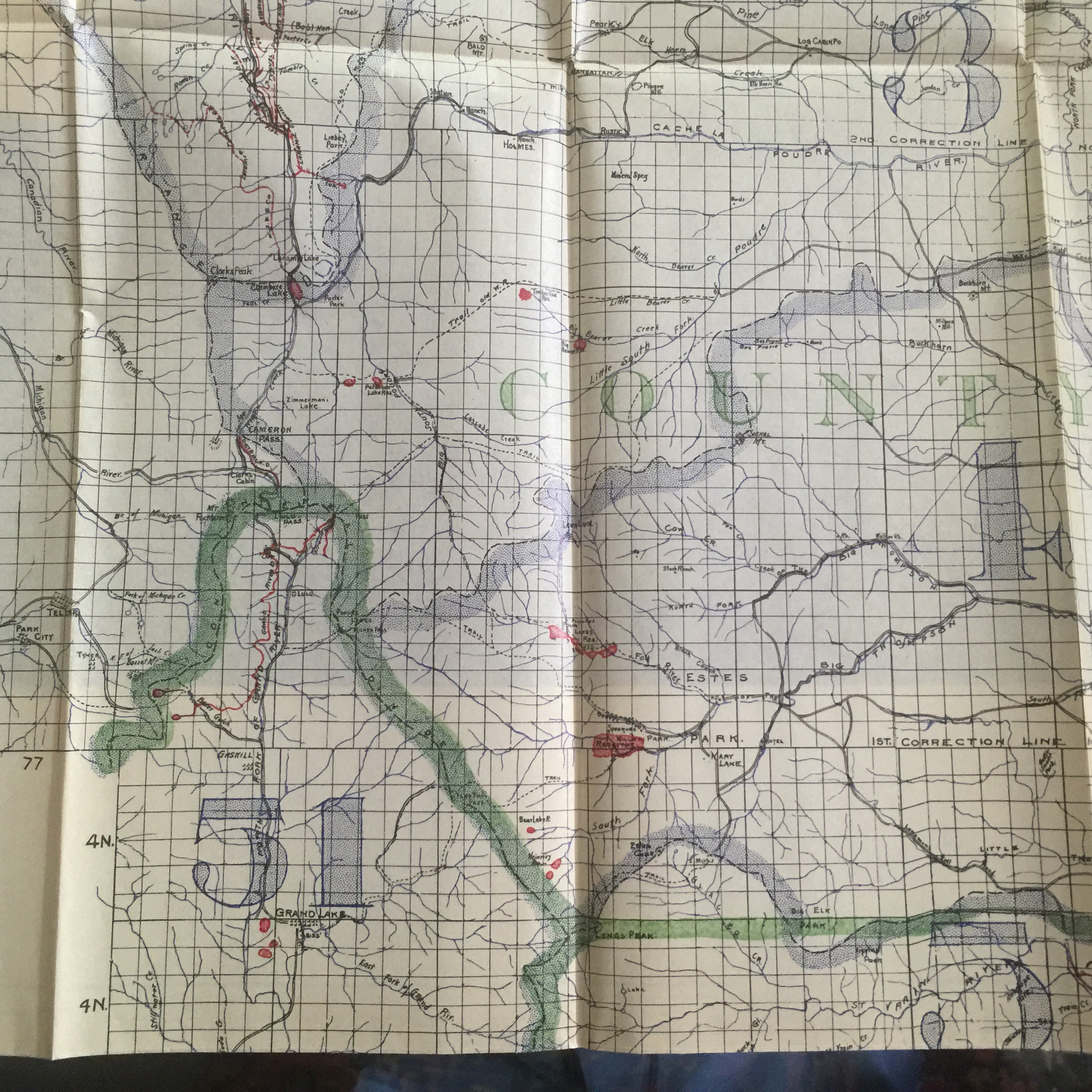
A State Engineer Map of 1907-8 shows the Grand River Ditch diverting from Water District 51, upper Colorado River drainage, across the Continental Divide into Water District 3 in the upper Poudre River drainage (shown in red middle left hand side); also showing Chambers Lake (upper left hand side of map)
July 20 inspection of Grand River Ditch led by Dennis Harmon, General Manager, Water Supply and Storage Company. From left to right Randy Gustafson (Water Rights Operation Manager, City of Greeley), Dennis Harmon, and Michael Welsh (Historian, University of Northern Colorado).

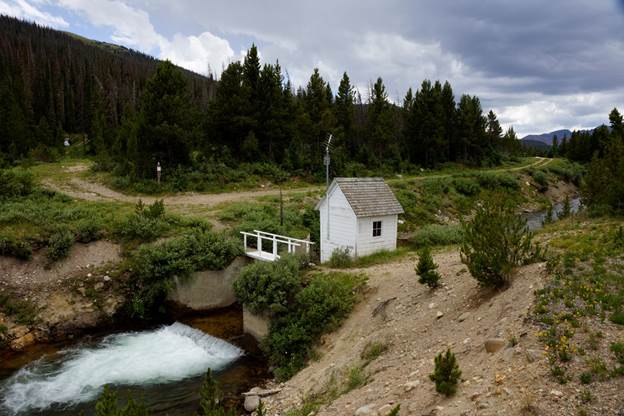
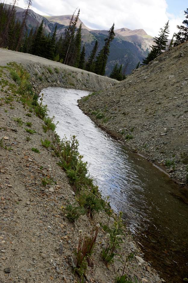
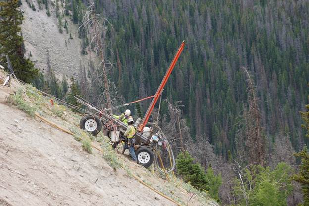
The Grand River Ditch has an appropriation date of 1890 for 524.6 c.f.s of water diverted from the Colorado River Basin to irrigate 40,000 acres of land in the Poudre Basin through the Larimer County Ditch. The water flow of the ditch is continuously measured at this gauging station on La Poudre Pass.
West of the Divide, the Grand River Ditch contours towards and around the Never Summer Range in Rocky Mountain National Park (established in 1915 after construction of the Grand River Ditch) for 14.77 miles to Baker Gulch.
A wetland at the western side La Poudre Pass,
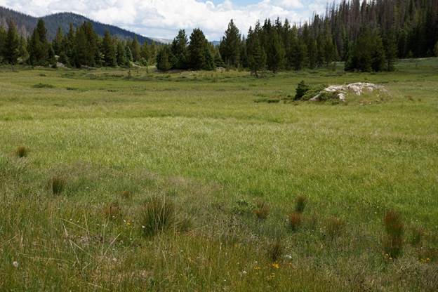
gives birth to the baby Colorado River.

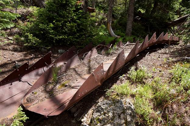
Discarded horse slip scrapers bolted together perhaps to armor the spillway of a small now-breached dam in the vicinity of the ditch.
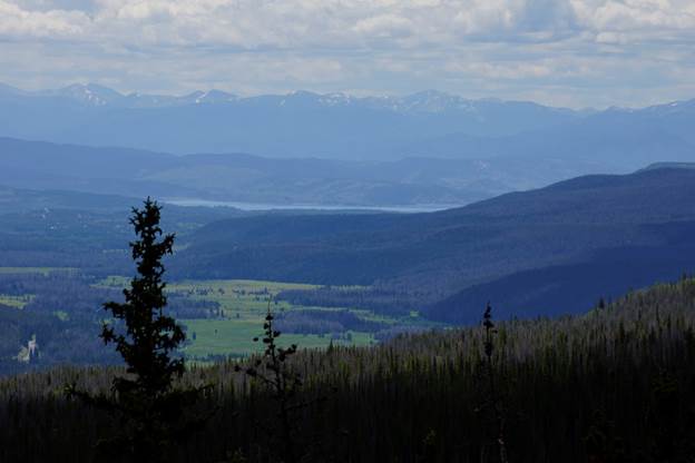
The Grand River ditch is located above the Little Yellowstone Canyon with spectacular views of the Never Summer Range.

The mining town of Lulu City was located down in the valley where, not far beyond, Lake Granby now gathers water for delivery east to Northern Colorado through the Adams Tunnel.
In the early 21st Century a stretch of the Grand River Ditch was washed away and repaired. Rehabilitation of the mountainside is proceeding under supervision of the National Park Service. Water Supply and Storage Company contributed $9 million in settlement of NPS claims.

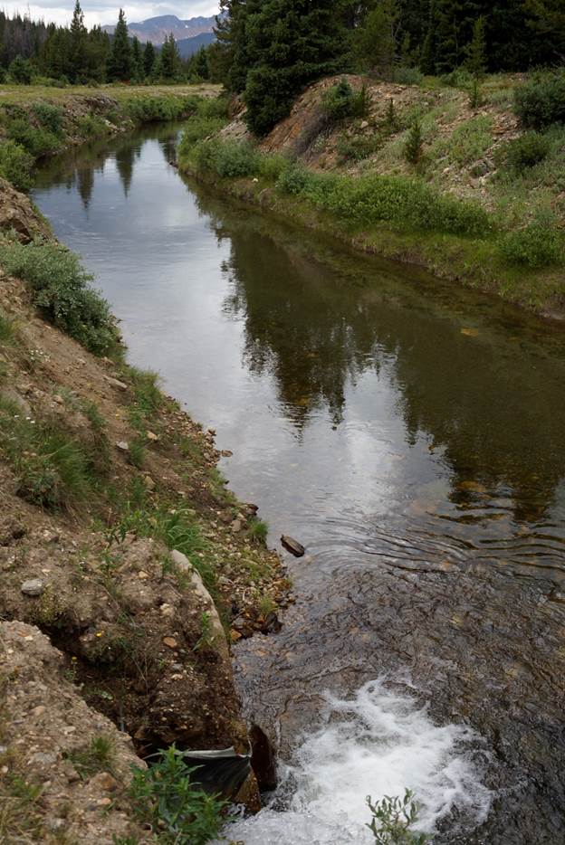
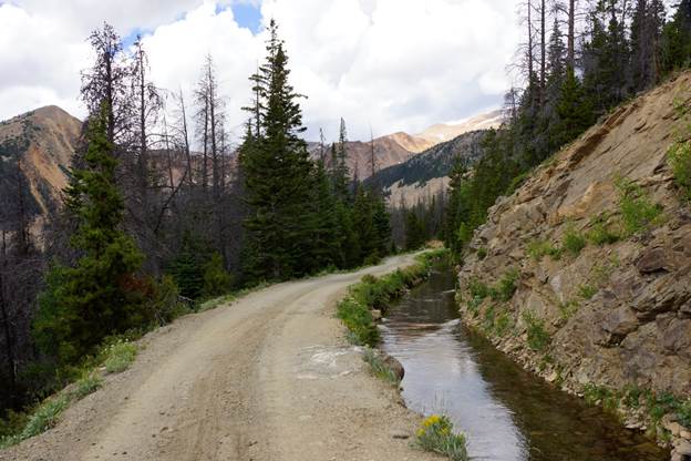
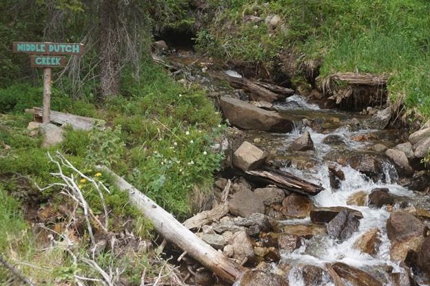
The easement Water Supply and Storage Company owns for the Grand River Ditch also serves as a hiking path along a number of gushing creeks.
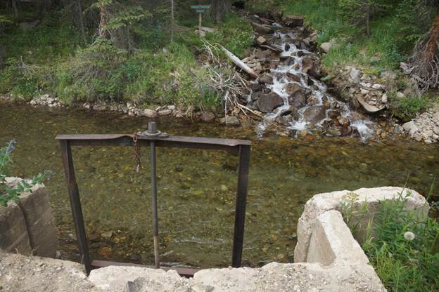
The ditch is fitted with gates that are opened to bypass creek water after the summer season comes to a close.
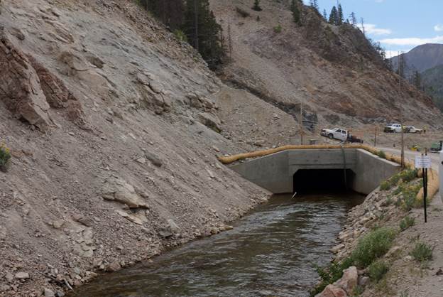
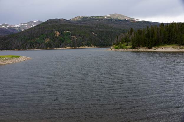
The water flowing through La Poudre Pass drops into Long Draw Reservoir located in the Roosevelt National Forest east of the Continental Divide.

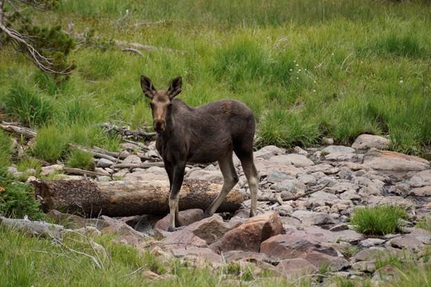
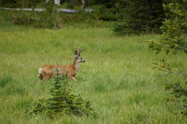
Moose and deer share wetland meadows of a long summer evening.
Water Supply and Storage Company stores Poudre River water in Chambers Reservoir.
Greg Hobbs and Dennis Harmon on the Continental Divide.
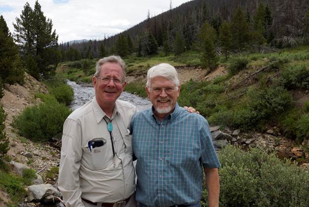
Greg Hobbs, July 20, 2016.