From email from the Colorado Water Conservation Board (Todd Hartman):
Colorado Water Conservation Board joins partners for innovative approach to restore stream channels, protect property and improve ecological conditions
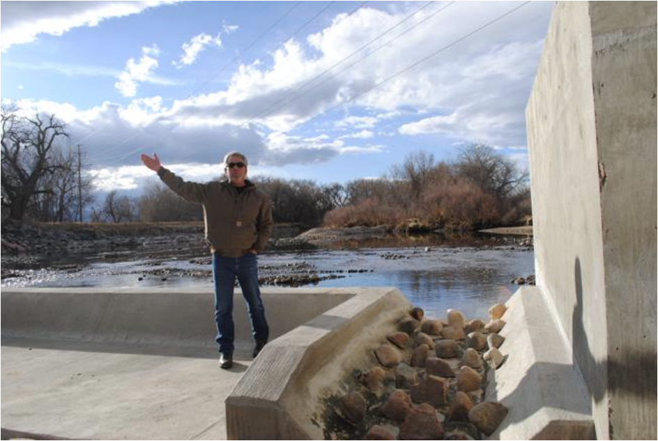
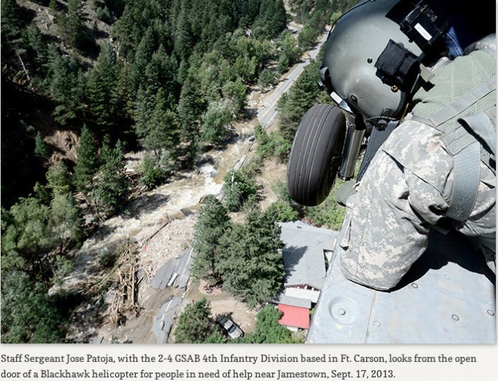
The record-smashing floods of 2013 ravaged Front Range waterways, rerouting and flattening stream channels, eroding streambanks, degrading fish habitat and stripping trees and vegetation from riparian areas.
Four years later, many of those waterways have been repaired, restored and even improved due to efforts led by the Colorado Water Conservation Board and myriad partners at the state, federal and community level.
With most attention properly focused on the recovery of communities, reconstruction of homes and property as well as road, bridge and infrastructure repair, CWCB and its partners have quietly redesigned and rebuilt stream channels in a way that has improved stream flows, boosted fish habitat and created more resilient waterways in the event of future floods.
Work is expected to be largely complete by the spring of 2018 on numerous waterways well-known and important to many communities. Coal Creek, Fountain Creek, the St. Vrain, Fish Creek, Fall River, the South Platte and other streams have benefited from intensive planning and channel construction work that reflects unprecedented collaboration to recreate streams in a way not only protective of nearby property, but with high ecological function.
That meant not only repairing and replanting streamside habitat but also creating stream channels that work for a variety of flows. A narrow interior channel allows for better passage of sediment and healthier flows even during periods of low water, a feature that can also benefit aquatic life. Those channels were constructed within wider channels to accommodate larger flows that might fill the banks or extend onto floodplains.
“This was a new way of doing business,” said Kevin Houck, chief of CWCB’s watershed and flood protection section. “Typically, after events like this, you’ll see efforts to simply armor the stream bank quickly, for purpose of safety and protecting property. We took a different, more holistic approach and we’re excited to see the results on the ground.”
Shortly after the floods, the CWCB assembled a team of experts at all levels of government to help communities develop short-term and long-term plans to stabilize and recreate damaged stream channels. This team quickly determined that stream rehabilitation would best be guided by a master-planning process at the watershed level, directed by an array of local stakeholders.
Master plans were developed for Fish Creek and Fall River by the Estes Valley Watershed Coalition, Big Thompson River (Big Thompson River Coalition), Little Thompson River (Little Thompson River Coalition), St. Vrain Creek (St. Vrain Creek Coalition), Left Hand Creek (Left Hand Watershed Oversight Group), Fourmile Creek (Fourmile Creek Coalition), Coal Creek (Coal Creek Canyon Watershed Partnership), Middle South Platte (Middle South Platte Watershed Alliance), and Fountain Creek (Fountain Creek Watershed Flood Control and Greenway District).
Since the development of the master plans, the CWCB has partnered with the State Department of Local Affairs (DOLA), the Natural Resources Conservation Service (NRCS), and local sponsors to implement projects identified within the plans. The CWCB and DOLA are managing over $100 million in recovery funds directed towards stream rehabilitation. Money for the work has come from the U.S. Departments of Agriculture (NRCS) and Housing and Urban Development, state and local entities and private foundations. The majority of the funding is going towards implementation, but some of it has supported project design and capacity for the local watershed coalitions that are managing many of the projects.
As of the four-year anniversary, most of the projects are complete or under active construction at this time. A detailed description of all projects and many images of the work can be found at the website for the Colorado Emergency Watershed Protection Plan, http://www.coloradoewp.com. The public can also follow progress on Twitter by following @ColoradoEWP.
I don’t know how I missed the great website and Twitter feed.