Four times this spring, local resident and Desert Research Institute scientist Rosemary Carroll will aid Rocky Mountain Biological Laboratory (RMBL) field scientists, Alex Newman and Curtis Beutler. They will perform ground surveys as airplanes use high resolution lasers to measure the depth of the snowpack and snowpack reflectivity, or albedo. They will dig snow pits for detailed measurements of snow depth, hardness and density. In addition, they will look at snow grain size and shape and note any dust layers. The data helps determine the accuracy of the measurements conducted by the air.
“These airborne data collection efforts provide a map of our snowpack at high-spatial resolution from the mountain tops to the valley bottom. When ASO (Airborne Snow Observatory) is combined with ground surveys and snow observations over time at our snow telemetry (SNOTEL) network, we can better track our snowpack and manage our water resources,” Carroll explained. “As climate changes, stream water forecasting models built on historical precedence, are not able to adequately predict stream runoff. The ASO methodology has been shown effective in California for improving stream water forecasting…The state of Colorado has recently allocated nearly $1.9 million to track snow using ASO.
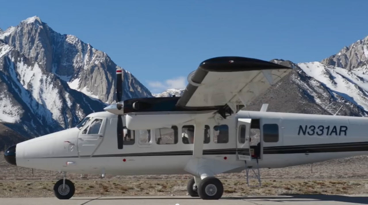
One of the two Twin Otter aircraft used by the Airborne Snow Observatory mission to study snowpack in the Western U.S. Credit: NASA
Carroll explained that ASO flies a fixed-wing aircraft across the basin using LiDAR (Light Detection and Ranging) with no snow, and then again with snow. The difference between the two data sets produces a snapshot in time of snow depth every three meters. ASO also uses a spectrometer to measure snow reflectivity. New snowfall has a very high reflectivity, while older snow or snow with dust has a lower reflectivity. Less reflective snowpack will melt more quickly than high reflective snowpack. The resulting ASO data helps to generate precise readings on the amount of water in the snow and guide estimates on where and when this snow may melt soonest. ASO not only quantifies total snow volume but also indicates where snow has moved across the landscape through things like avalanches and wind. ASO-informed stream water forecasts have been shown to have accuracy rates of close to 98% or almost double traditional forecasts…
Carroll is also managing a local stream discharge network so that there is high spatial and temporal data of streamflow across the smaller-order streams in the East River. She has stream gauges on Quigley, Rustlers, Rock and Copper Creek, to name a few. She currently manages 13 stream gauges. By measuring streamflow across the upper East River and in combination with the stream gauges maintained by the U.S. Geological Survey (USGS), she can monitor sub-watershed response to different snow conditions…
Carroll emphasized that mountain snowpack is a critical water resource globally and is also extremely sensitive to climate change. “The East River is emblematic of these mountain systems, and it has become the largest field observatory for integrated mountain hydroclimate and biogeochemical response,” she said. “Work between entities like the Department of Energy, NASA, NOAA, the USGS and others, and with help from RMBL, the research in the East River is critical to understanding how mountain systems store and release water and solutes. It is extremely exciting!”