December 8, 2024
Call it a meeting of the minds – Willem A. Schreüder, the CU computer scientist behind the groundwater modeling of the Upper Rio Grande Basin, and a group of San Luis Valley irrigators who are racing against time to reduce groundwater pumping in what state water engineers call “one of the most productive irrigated farming areas in the state.”
Schreüder spent more than an hour at a Dec. 4 meeting with farmers who form the governing board of Subdistrict 1 of the Rio Grande Water Conservation District. They wanted to know if the subdistrict’s upcoming Fourth Plan of Water Management, which calls for irrigators to limit their groundwater pumping to the amount of surface water that naturally flows in, is going to work.
It’s called one-for-one pumping, and while the plan has been approved by the Subdistrict 1 board, the Rio Grande Water Conservation District board and the state engineer, it still needs sign off from the state water court, which likely won’t happen until 2026.
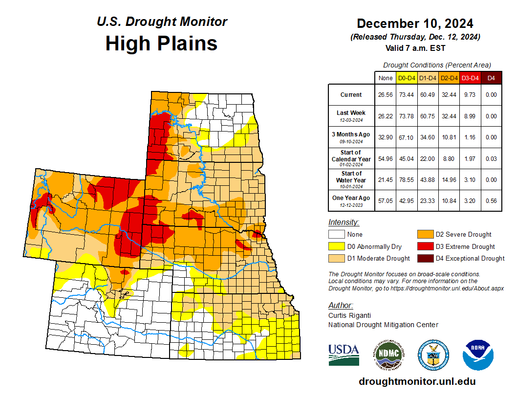
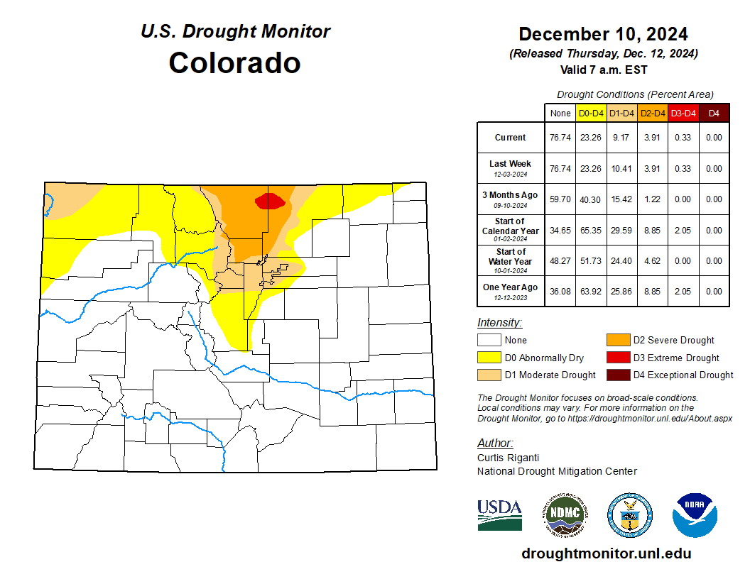
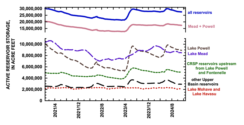
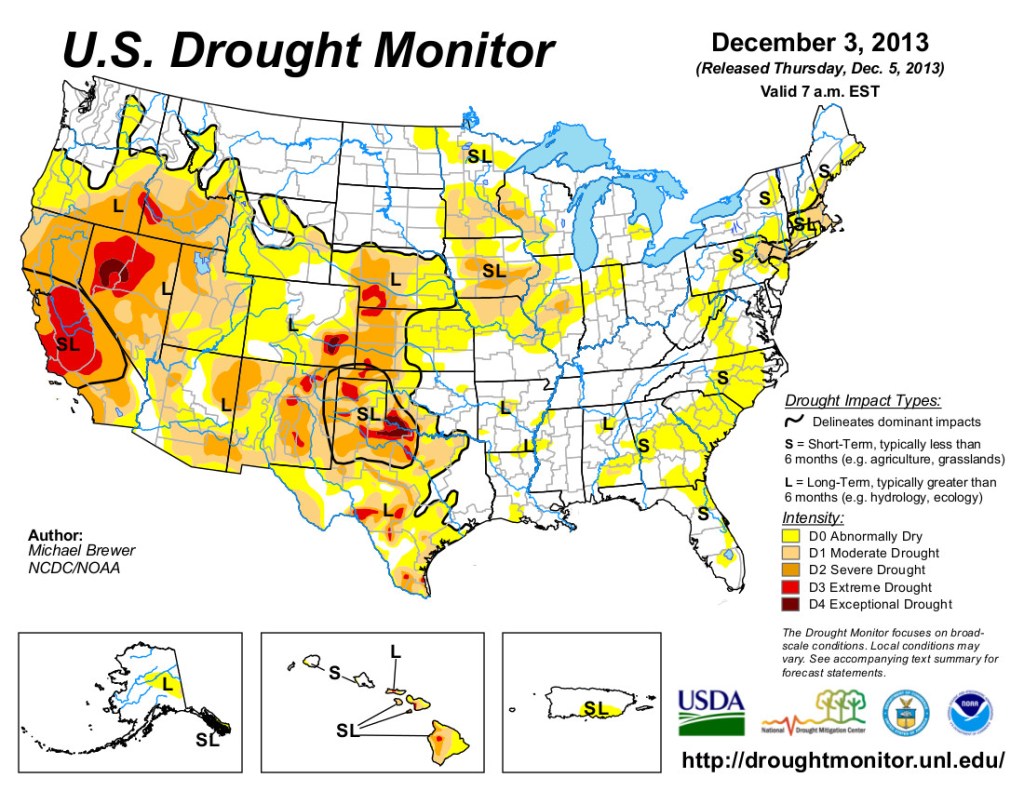
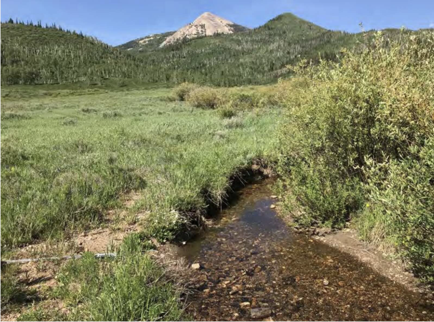
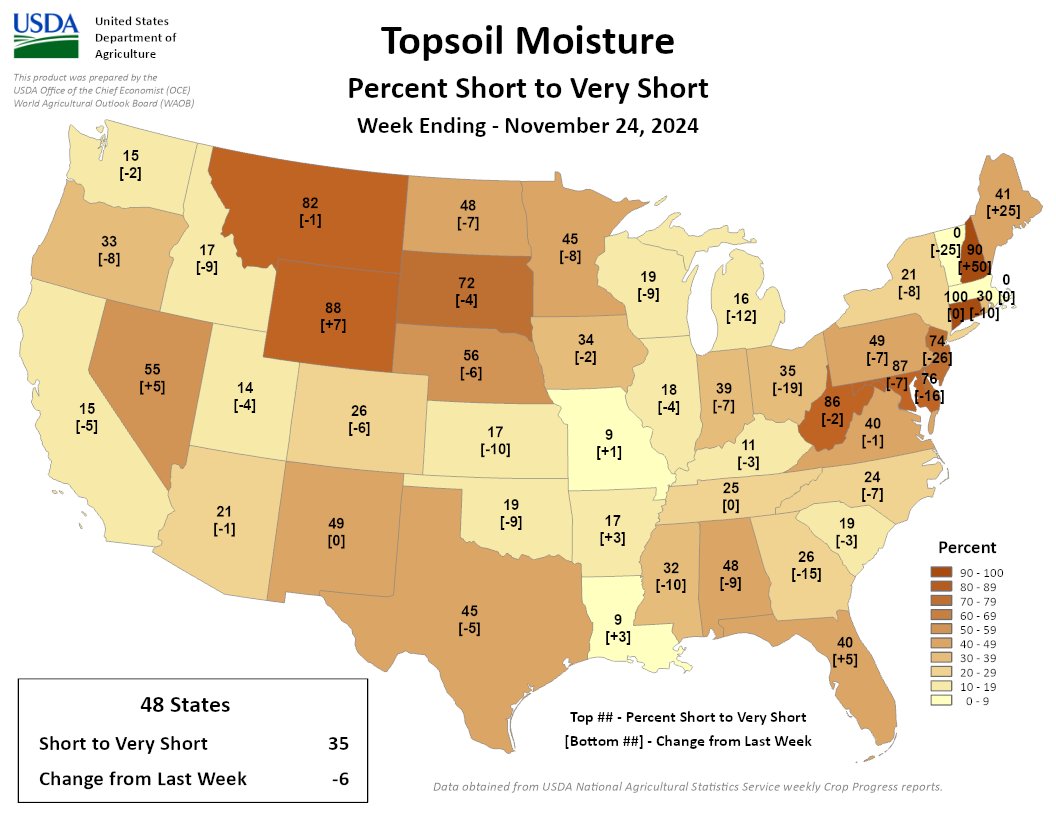
While all the Valley’s farmers face pressure to reduce groundwater pumping in the face of a changing climate, it’s the crop producers in Subdistrict 1 who are on the clock and under state orders to recover groundwater levels of the unconfined aquifer and maintain a sustainable irrigation water supply by 2031.
It’s Schreüder’s mathematics’ modeling that clues in the Colorado Division of Water Resources to the response the river system and aquifers are having through a steady reduction of groundwater pumping over the past two decades.
Schreüder’s expert witness testimony explaining the Rio Grande Decision Support System (RGDSS) model has been the subject of state water court proceedings and undoubtedly will be again in upcoming cases.
His session with Subdistrict 1 managers yielded a few insights, notably:
- The recharge of streams should occur as close to the point of where the groundwater pumping occurred, a problem that has particularly come to light around Saguache Creek and the groundwater pumping that occurs in that area of the Valley.
- The formation of the new Southern Colorado Water Conservancy District will complicate the RGDSS model in ways Schreüder still has to figure out.
- As much as the RGDSS model can be useful in showing the response of the river to less groundwater pumping, there is always an imbalance even if irrigators are perfectly recharging the same amount as they’ve pumped out.
What follows is a partial, edited transcript of the conversation to get at some of the more pertinent questions. Jake Burris, president of the Subdistrict 1 board of managers, opened the discussion:
Burris: The first question I would throw at you is, the anchor of the amended plan, should we be successful, is that we would only pump imported water as it’s brought in. Live within our means, sort of speak. If that is the case, is it unreasonable to assume that we would not be generating any new depletions at that point?
Schreüder: New depletions anywhere, or a particular stream?
Burris: Anywhere, any stream.
Schreüder: So the short answer is ‘No’ in the sense that yes, we probably still will have the depletions, and what it comes down to is that the one-for-one plan essentially is one that deals with an average. So we’re looking at a districtwide or subdistrict-wide average balance, whereas when we talk about stream depletions, we’re talking about time, place, amount. And so it’s very easy to construct a hypothetical situation where if you look at where the pumping occurs and where the recharge occurs, that those recharges in pumping are not exactly coincident and as a result, the distance between where you recharge and where you are pumping basically directs depletions to a particular direction. And so what could very likely occur is that on one stream you actually have an accretion and on another stream you have depletion. So on average you tend to be sort of in balance with the surface network, but the people on the stream that is depleted, are not going to be happy. . .So unless the way that the one-for-one works is that the recharge occurs in exactly the place where the pumping occurs, you likely will have depletions to some streams.”
Burris: So it’s not just simply an issue from an administrative standpoint of us utilizing our recharge on an average. That’s irrelevant. It is a logistics and timing problem, regardless?
Schreüder: There’s both a temporal and spatial component to that. Think about for example, the depletions to the Rio Grande and I’m making up numbers here, but just to make the argument easier, let’s say 50 percent of your depletions occur in year one and then 30 percent in year two and 10 percent in years three and four. So it’s front-loaded as far as when the depletions occur, and you’re working on a five-year average and let’s say for those first five years, or first four of the five years, let’s say there’s negative 25,000 acre-feet of pumping to managed recharge. . .and then in the last year, year five, we basically have a 100,000 acre-feet of pumping in excess of recharge. So because half of that occurs in year one, and the offsets from two years and three years and four years and five years ago are lesser amounts, even though on the five-year average you are in balance, you could have a situation that on the Rio Grande in that first year after the big pumping you do not have an impact. So it’s both the temporal scale at which things happen, as well as the spatial scale. It’s also a reflection of where did that recharge occur and where did the pumping occur. If you average it out, they don’t fall right on top of each other.
Burris: The way the model then is I guess essentially looking at it for lack of a better way, but from a temporal and spatial standpoint, Sub 1’s aquifer itself is irrelevant. It’s not looking at it from a form of recharging an aquifer as a whole and recharging for all the wells as a conglomerate. It’s looking at the individual wells and the areas around each well?
Schreüder: As far as the model is concerned, yes.
Burris: I think that’s our big disconnect, or at least I should speak for myself there. The way Sub 1’s structured is with the way the aquifer system is and the way we treat the wells and recharges, it’s in totality. It’s as a conglomerate, and so you can’t take that perspective in any way to the model?
Schreüder: That’s right? And so there’s actually three parts to this. The first is as far as Subdistrict 1’s one-for-one is concerned, to a large part that’s going to address sustainability because what you put in and what you take out balances, that should be sustainable. So that’s the one part. The other part then, of course, is the groundwater modeling, which tries to figure out just exactly where the spring depletions occur. And then the third part to that is well, we need to calculate these response functions and the response function needs to capture the essential behavior of the model so that we have a simpler way of actually applying the inputs and predict what the depletions are. The problem that we are going to face in the future is that so far the response function approach has actually worked pretty well because what we found is that if you simply look at what the imbalance between pumping and recharge is in the ’90s and early 2000s, it did a pretty good job of predicting where the stream depletions would be if all you do is to calculate the net consumptive use and you run it through that function, and then you get the stream depletion prediction. But what if we go one-for-one and the next CU (consumptive use) is zero a lot of time, how are we going to figure out a response function that we can then use to predict what the stream depletion is?
Burris: It is a possibility to reconsider conceptually how the model is I guess, the framework of the model? Or are we pretty much stuck with how the system is now, if that makes sense?
Schreüder: I think we are fairly confident in the framework of the model because it is able to reproduce what has happened historically pretty well. The question that we’re struggling with is ‘How do we ask the what-if question?’ Had there not been wells or had the wells only operated in a way where the pumping matched the recharge, what would the stream depletions have been? And that’s a little bit more tricky question that we need to answer now. In the past, because there was always an imbalance between pumping and recharge, it sort of worked out. But if we are actually finding that we are leaving the response function zeros a lot, and if the model does all of the superimposition of individual wells in terms of one answer, and then we average things and we run that sort of the response function, we don’t come up with that same answer, that’s the problem, right? That’s the definition of non-linear. Linear means if you have a function that translates an input to an output, all you have to do is average the inputs and the function will give you the same average on the outputs. Whereas in the non-linear system, if you run the individual items through the function and you then average the results, you don’t get the same answer. And that’s what we are struggling with. Will we be able to properly linearize that?
Burris: I’ll throw one more question at you and then I’ll let somebody else talk. What is the difference in impacts specifically, I’ll say, to Saguache Creek as far as the model sees them between unconfined wells and confined wells? Is the classification different in the model? Is the impact different, or are those treated the same sort of like we treat them the same in Sub 1?
Schreüder: They’re different in the sense that, because in the confined aquifer you typically have lower storage co-efficients, the columns of depression that accumulate for those tend to spread out wider and faster than they do in the unconfined aquifer. And so since the model basically just stacks all of those on top of each other and then calculates the total, it takes into consideration the fact that confined and unconfined wells behave differently. But as far as, can you tell me exactly how confined wells are, what the total is from confined wells and what’s the total from the unconfined wells? I’ve not tried to make that separation. We always just consider it in total because again, this is a non-linear system. So how you evaluate individual wells versus all of the wells in the subdistrict as a whole, if you add up all the individual wells, it doesn’t add up to the total for the subdistrict as a whole. So it’s a little difficult to make that clear distinction between the two.
The seventh iteration of the RGDSS model is being finalized by Schreüder, which led to this exchange with another of the Subdistrict 1 managers. The conversation also then delved into the new Southern Colorado Water Conservancy District.
Sub1 Board: When will we have, ‘This is the final seven version?’ Do we need to take action soon or can we wait a month or two for you to finalize it?
Schreüder: So I am hoping, we have a meeting on Dec. 17, I think is the date, and I’m hoping to finalize the model for that, or at least get people’s agreement that this is good enough that we should be moving on to the application of the model. So now we start asking the model questions, and it’ll probably be several months if not a year before we go from OK, we now have a model’ translating that into, do we ask the right question for each zone and then what are the response functions that are coming out of that? So it’s probably going to be at least a year before we have the answer that will apply for the next five or 10 years.
Sub 1 board member, on the Sustainable Water Augmentation Group known as SWAG: SWAG forming their own subdistrict and I guess trying to do it alone, how would you see that changing those fields and their new conservation district now outside of our subdistrict. Would that impact this data set?
Schreüder: Well, I guess to the extent that they do their own thing, they give us more site-specific information, we’ll try to incorporate that into the model. The difficult thing that we need to figure out is, ‘How do we deal with it separate from the rest of Sub 1?’ And that’s not going to be easy.
Sub 1 board member: Just clipping those wells out of our dataset, you’re saying it’s not just as straightforward as, ‘Hey, these ones are closer to Saguache and they’re no longer in the map.’ Does that help the math?
Schreüder: Well, and I mean that’s part of the problem, right, is it’s sort of obvious that yeah, those guys are probably having a bigger impact on Saguache Creek than the rest, but how do we actually run the model in such a way that we can actually quantify that? And that’s one of the problems that you have an nonlinear system, is if you start breaking it up into lots of little parts, the answer doesn’t sum up to the total and that becomes problematic in terms of how do you figure out what the total impact on the stream is and how to distribute that back to individual people? And it’s something that we’ve worked very hard to avoid, but they’re sort of forcing our hand and I don’t know exactly what the answers can be.
Sub 1 board member: You mentioned the substantial decrease in pumping over the last 10, 15 years in Subdistrict 1. Is there a scenario where if that were to continue or if wells were continuing to be retired in Sub 1, that that cone of depression would no longer reach Saguache Creek or we would no longer have applications in any scenario?
Schreüder: It’s that balance, right, between where the recharge occurs and where the pumping is. So if we basically do one-for-one and we can put the recharge exactly where we’ve pumped, then there should be no net cone of depression. And so that’s the problem, right? There’s always an imbalance, and so even if you are perfectly recharging the same amount as you are pumping, it’s always going to push the cone of depression in one direction.
Jake Burris: I once again will reiterate how appreciative I, and we are, that you’re willing to make the trip down here and talk to us. It was hugely helpful, at least for me, just the general perspective o,f it’s drastically different how we treat Sub 1 and administer it versus how the model sees it, I guess is how I’ll put it. But we do appreciate you taking the time.
Schreüder: Well, and again, let me just reiterate. The sustainability requirement, there’s the model’s predictions of impact, and then the response functions themselves, and the way that the response functions work right now, by definition, if you had no net CU (consumptive use), there would be no depletion. But that’s the existing response functions, and that’s one of the things that we need to figure out at the end of phase seven is, OK that particular model of response function is probably not going to work again. So what are we going to do to fix that?