
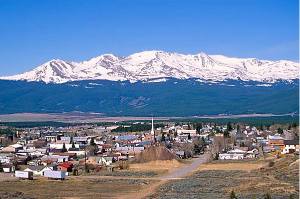
From the Leadville Herald Democrat (Dan Ramey):
Parkville Water District’s surface water sources in Evans Gulch have a moderate susceptibility to contamination, according to a survey performed by the Colorado Department of Public Health and Environment. The report looks at the susceptibility of a district’s sources of water to two types of contaminants.
Discrete contaminant sources are areas “from which the potential release of the contamination would be confined to a relatively small area,” according to the report. These sources include such things as Superfund sites and mining sites.
Dispersed contaminant sources are defined by the report as “broad based land uses and miscellaneous sources from which the potential release of contamination would be spread over a relatively large area.” These sources includes things such as animal pastures and septic systems.
According to the report, the district’s surface water sources in Evans Gulch are at risk from one Superfund site and 53 existing or abandoned mining sites. Meanwhile, the surface is only at risk from three dispersed contaminant sources.The report also found that Evans Gulch surface water has a moderately high physical setting vulnerability rating. The physical setting vulnerability rating looks at how the area around a water source can buffer that source from possible contaminants. The higher the rating, the less of a buffer the water source has.
Another survey from the state also assessed the susceptibility of the district’s other water sources, all of which are groundwater sources. All of those five groundwater sources had a total susceptibility rating of moderately low. Those five water sources are threatened by just seven possible discrete contaminants and 18 dispersed contaminants, according to the report.
The physical setting vulnerability ratings for those water sources vary from moderately low to moderate.The survey is part of the state health department’s Source Water Assessment and Protection program. The surveys are also an important part of the water district’s Source Water Protection Plan. The plan uses information found in the two state health department surveys to develop ways to prevent the district’s water sources from becoming contaminated.
Contamination of the district’s sources, especially those in Evans Gulch, could prove disastrous, Parkville General Manager Greg Teter said. The district has other sources besides those in Evans Gulch, but those other sources would likely only be able to supply half of the community’s demand.
“We’re trying to stay ahead of a potential situation,” Teter said.
One of the keys to the protection plan is the sharing of information between Parkville and other local entities. The district recently signed an intergovernmental agreement with Lake County.
As part of the agreement the county and the district will share both GIS data and information, Teter said.For example, the Lake County Building and Land Use Department will share information with the district about potential mining applications near Parkville water sources. This will allow the district to be proactive about protecting its water sources, Teter said.
Another key part of the plan is education and ensuring that businesses and community members know where Parkville’s water sources are, Teter said. The intergovernmental agreement and protection plan do not create any new restrictions on land uses around water sources, Teter said. They merely facilitate the sharing of information and create an awareness of potential threats to the community’s water sources.
In addition to protecting the community’s water sources, the Lake County watershed is also important because of its location along the Arkansas River.
“Ours isn’t the biggest, but it’s important because it’s the first on the Arkansas,” Teter said.
More infrastructure coverage here.