Sustaining Lake Mead for the benefit of downstream water users in the Lower Colorado River Basin has been a key objective of the 2007 Interim Guidelines and the 2019 Drought Contingency Plans. (Source: Lighthawk via The Water Desk)
Click the link to read the article on the KUNC website (Alex Hager). Here’s an excerpt:
Colorado River water managers are facing a monumental task. Federal officials have given leaders in seven Western states a new charge — to commit to an unprecedented amount of conservation and do it before an August deadline. Without major cutbacks in water use, the nation’s two largest reservoirs — Lake Powell and Lake Mead — are in danger of reaching critically low levels.
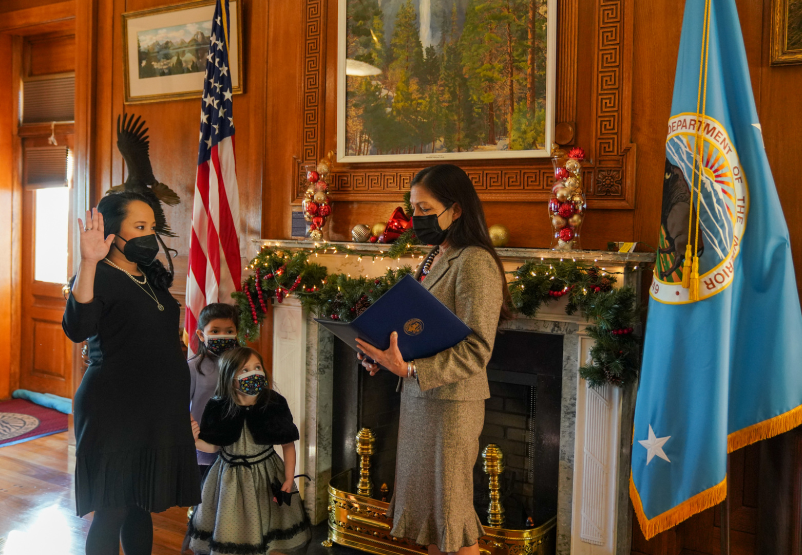
Camille Calimlim Touton being sworn in as Reclamation’s Commissioner by Secretary Deb Haaland.
On June 14, Bureau of Reclamation commissioner Camille Calimlim Touton came to a Senate Committee on Energy and Natural Resources hearing with a prognosis, a goal and a threat.
First came the prognosis for the beleaguered river that supplies 40 million people in the Southwest and has seen its flows reduced due to 22 years of higher temperatures…
The Colorado River’s big reservoirs are at record lows. Lake Mead sits at 28% of its capacity, and Lake Powell is at 27% capacity. They’re both projected to drop further as the year progresses.
Touton set the goal to keep them from dropping to levels where hydropower production ceases and where it becomes physically impossible to move water through the dams…
Touton finished her remarks with the threat. If the seven states that rely on the Colorado River can’t cut their own use, the federal government is prepared to do it for them, Touton said. She gave a 60-day deadline to craft a deal.
Click the link to read the article on the Circle of Blue website (Brett Walton). Here’s an excerpt:
The American West has been plumbed into a series of “mega-watersheds.”
Because basins are connected by pipelines and canals, drought in one region affects distant watersheds.
A big Southern California water agency plans to draw more water from the Colorado River this year because of inadequate moisture in the Sierra Nevada.
On a map that might grace the walls of a high school classroom, the watersheds of the American West are distinct geographical features, hemmed in by foreboding plateaus and towering mountain ridges. Look closer and those natural boundaries are less rigid. A sprawling network of pipelines and canals pierce mountains and cross deserts, linking many of the mighty rivers and smaller streams of the West. These “mega-watersheds” have redrawn the map, helping cities and farms to grow large and productive, but also becoming political flashpoints with steep environmental costs…
Upstream on the Colorado River, there are more links. Tributary streams in Colorado are diverted through the San Juan-Chama Project into New Mexico, where the water enters the Rio Grande system and supplies Albuquerque and Santa Fe. The Central Utah Project pulls Colorado River water into the orbit of the fast-growing Wasatch Front, which is not in the basin.
Colorado transmountain diversions via the State Engineer’s office
In the headwaters state of Colorado, 11 major interbasin transfers unite rivers on both sides of the Rockies. The Moffat and Adams tunnels cut through the Continental Divide, a feat of engineering that brings Colorado River water into the South Platte River basin, where it is gulped by Denver and other Front Range cities.
The Moffat Tunnel, heading east. Photo: Brent Gardner-Smith/Aspen Journalism
Entrance to the Colorado-Big Thompson project. Photo: Brent Gardner-Smith/Aspen Journalism
For all the water supply flexibility they provide, these diversions are not risk-free. They have depleted water for native fish. Many of them — from the Owens River in California to the West Slope of Colorado — contend with legacies of acrimony and mistrust, feelings that arose decades ago due to the political imbalance between rural areas where water was extracted and urban areas that benefitted.
Scenic Unaweep Canyon. Photo credit: Allen Best/Big Pivots
Click the link to read the article on the Big Pivots website (Allen Best):
Xcel Energy asked for permission to spend up to $15 million in investigating whether a pumped-storage hydro project in Unaweep Canyon, south of Grand Junction, is feasible.
No, said Colorado Public Utility Commission members at a meeting on June 10. You can get $1 million that can be recovered from customers but no more.
Pumped hydroelectric generation illustrated. Graphic via The Mountain Town News
The company has filed for a preliminary permit application with Federal Energy Regulatory Commission, putting it in more or less the same stage of the planning process as the Craig-Hayden projects. Which is to say early.
“I just see this project has having enormous environmental, financial and technological risks,” said Commissioner John Gavan.
Eric Blank, the commission chairman, had said he would be willing to go for $5 million as there seems to be a gap in funding for development of ideas and before they can be solidified. “It’s a little bit of a chicken-and-egg problem.”
Megan Gilman, the third commissioner, said she was inclined to reject Xcel’s proposal.
The canyon does have tremendous vertical relief. It’s a canyon without a river, although some geologists have conjectured it was originally a pathway for the Colorado River.