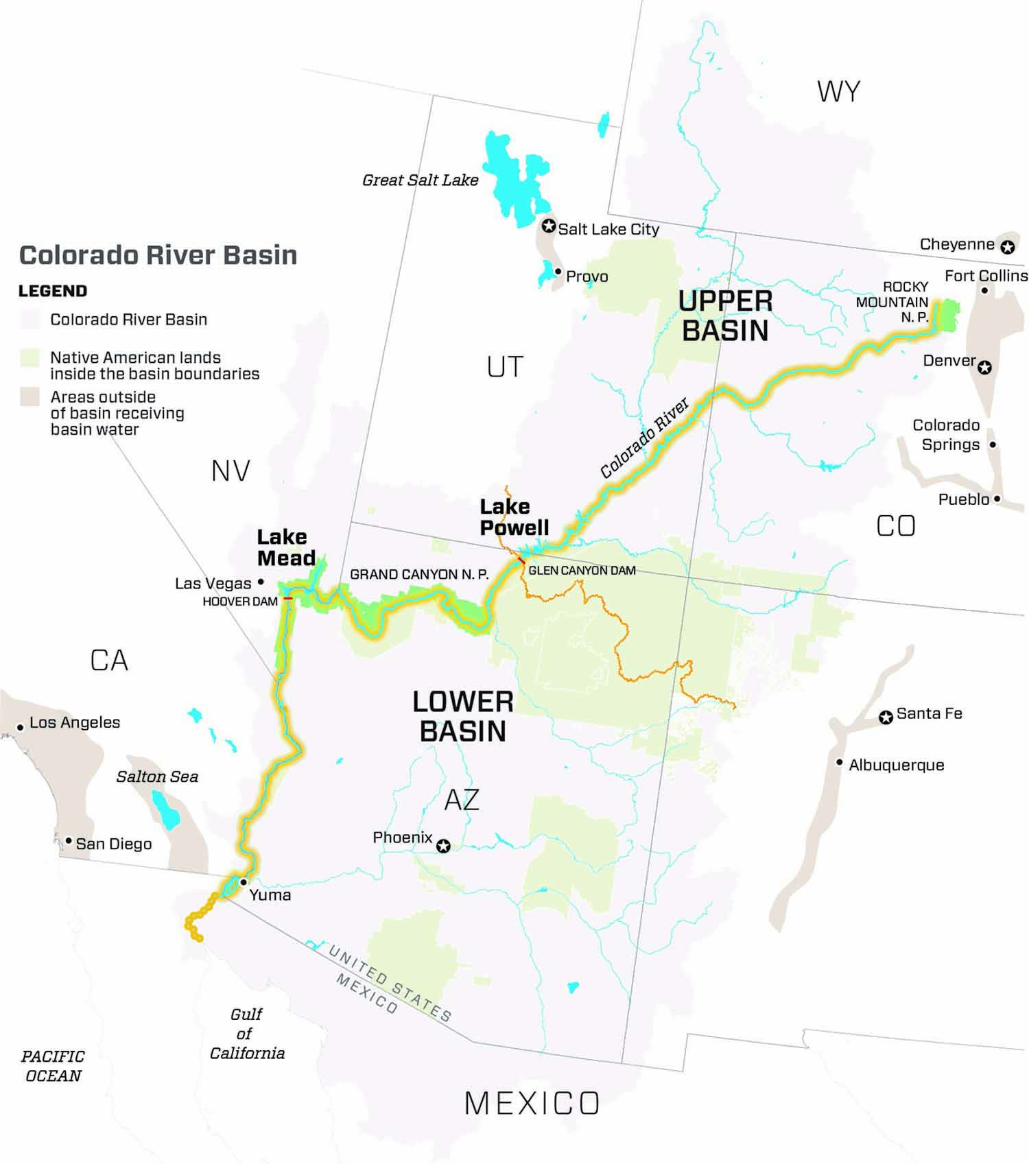
Click a thumbnail graphic to view a gallery of drought data from the US Drought Monitor website.


Click the link to go to the US Drought Monitor website. Here’s an excerpt:
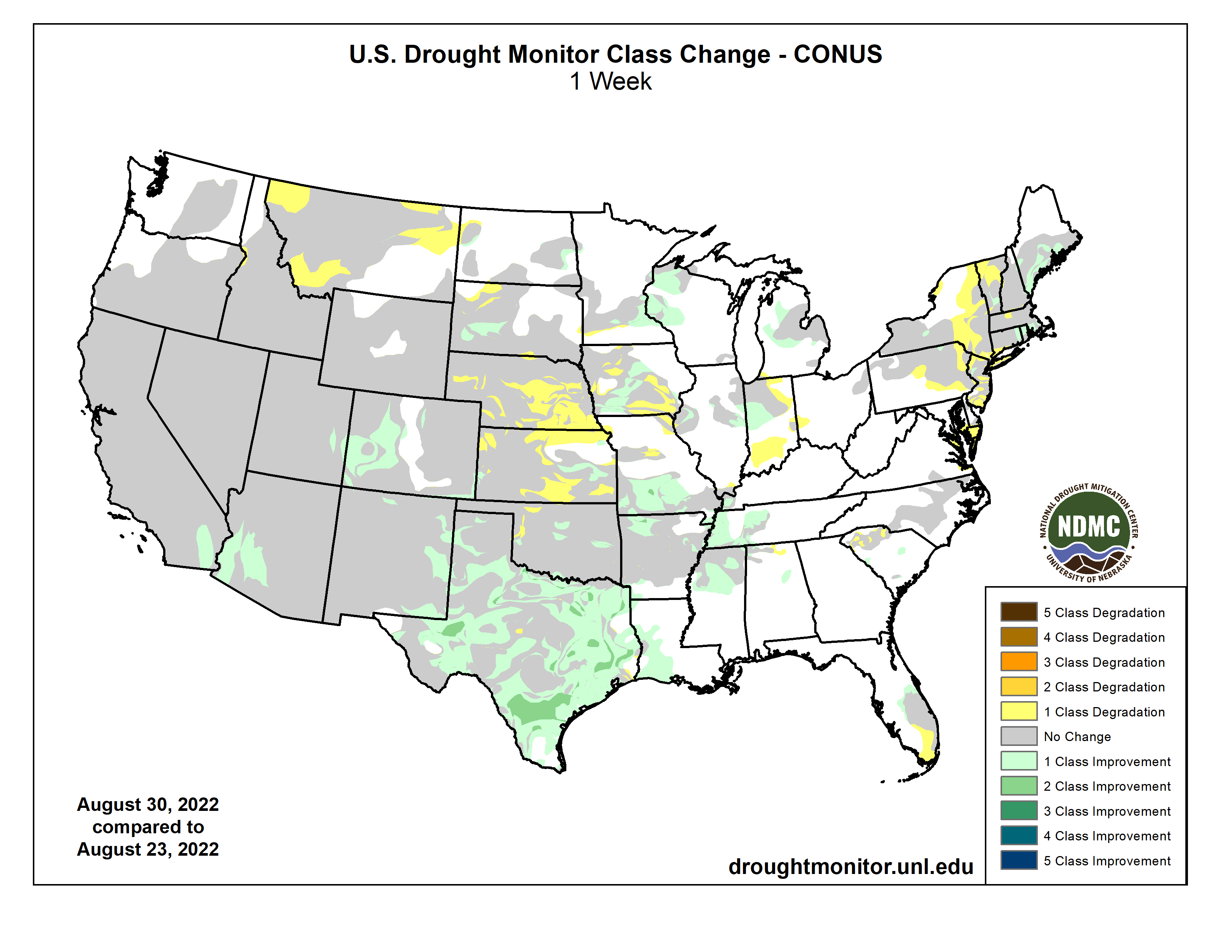
Warm, dry conditions continued across much of the region with the Dakotas, Nebraska and Kansas seeing some areas of worsening conditions. In Nebraska and Kansas, all levels of drought expanded as short-term precipitation deficits, on top of long-term dryness, continued to deplete soil moisture and stress vegetation. Exceptional (D4) drought expanded in the southwest where rainfall deficits of over 3.5 inches have occurred over the last 90 days. Extreme (D3), severe (D2) and moderate (D1) drought expanded in the eastern half of Nebraska where rainfall deficits of 3 to nearly 7 inches have occurred over the last 90 days. Other areas of Nebraska seeing degradations include north-central Nebraska, where D2 expanded, and the Panhandle, where D1 expanded. Similarly, Kansas also saw large areas of deterioration. In the western half of the state, D1, D2, D3 and D4 expanded where rainfall deficits near 5 inches occurred over the last 90 days. In the east, improvements were made to D1 where the heaviest rain fell over the last 2 weeks. Improvements were also made in eastern South Dakota to D1 along a band of heavy rain last week.
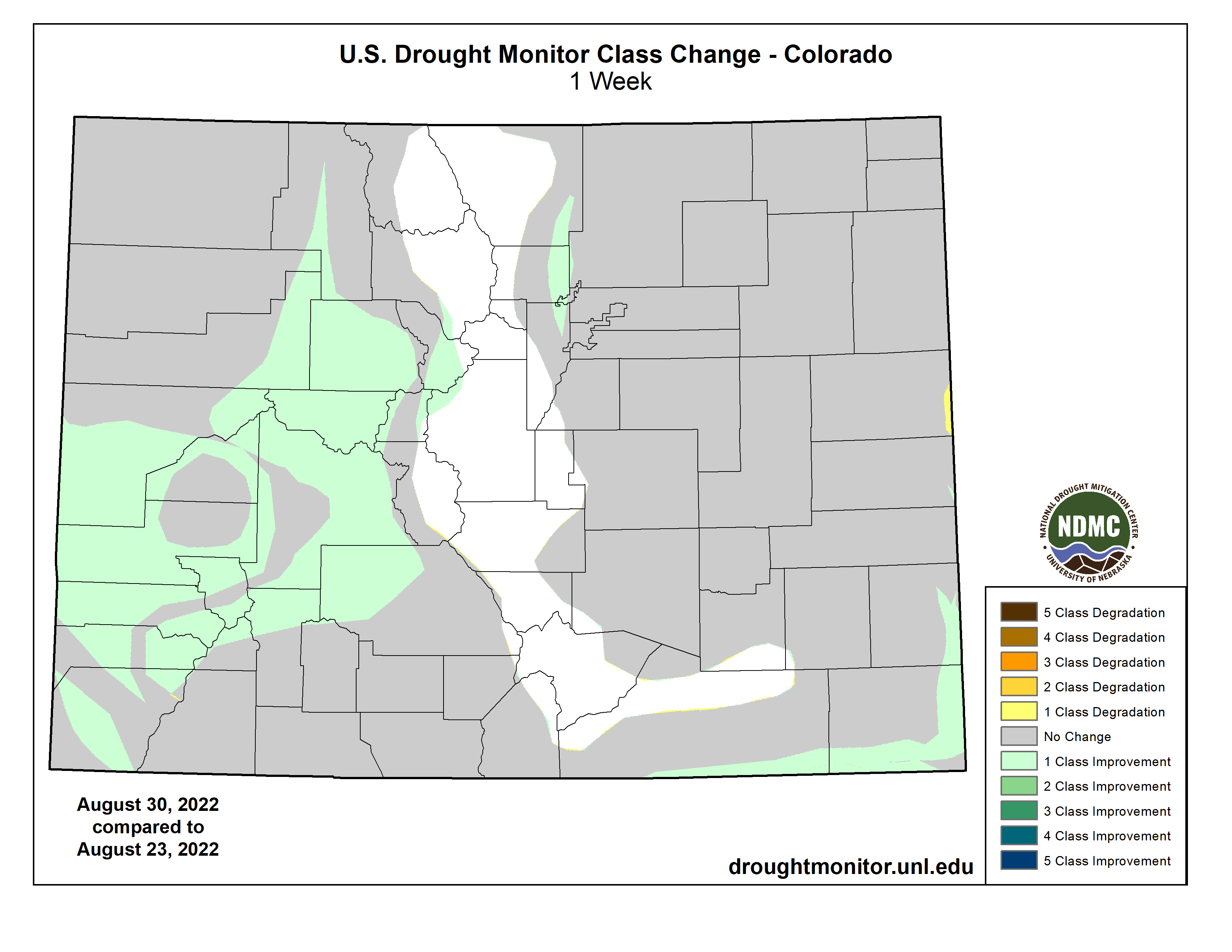
The North American Monsoon continued to provide excellent rainfall in the Southwest. Many areas in the region only receive about five inches of rain annually, but a few spots have nearly equaled this annual average in the last two weeks alone. Drought conditions improved in areas receiving the heaviest rain. Many drought indicators, including soil moisture, streamflow and well data, are responding to the rainfall. Improvements were made to moderate (D1) and severe (D2) drought in Arizona, extreme (D3) drought in Southern California and eastern Utah, and D2 and D3 conditions in eastern New Mexico. To the north, Montana saw an expansion to abnormally dry (D0) and D1 areas as conditions began to rapidly deteriorate. Low rainfall, combined with high evaporative demand, has lowered streamflow and stressed vegetation there.
Rainfall totals over the past two weeks once again led to broad 1- and 2-category improvements across large parts of the South. For the second week in a row, all states in the region showed improvements as the effect of the rainfall became apparent in drought indicators such as soil moisture, streamflow and vegetation. Rainfall records show that the previous two weeks ranked in the top 10 wettest for this time of year in many locations in the region. Some of these records go back over 100 years. Drought remains in areas that missed out on the recent heavy rains and those in which rainfall deficits still exist at 90-plus days so that deeper soil moisture, shallow groundwater and streamflow indicators have yet to recover. Extreme (D3) drought expanded in northern Oklahoma in the areas that missed out on the heavy rain. Rainfall deficits of nearly 6 inches have continued to dry out soils and stress vegetation.
Looking Ahead
The National Weather Service Weather Prediction Center forecast (valid September 1 – September 4) calls for rainfall over parts of the South, the Southeast, the Central Plains and the Upper Midwest. Meanwhile, dry weather is expected to continue across much of the West, the Northern Plains and the Mid-Atlantic. Moving into next week (valid September 5 – September 8), the forecast calls for continued rain across much of the South and Southeast, while the West, High Plains and parts of the Midwest are expected to remain dry. Heavy rain is expected across portions of the Alaska Panhandle and mainland Alaska. At 8 – 14 days, the Climate Prediction Center Outlook (valid September 8 – September 14) calls for above-normal temperatures across most of the continental U.S. Below-normal to normal temperatures are predicted across southern Arizona, southern New Mexico and West Texas. Below-normal precipitation is favored across much of the northern tier of the continental U.S., while normal to above-normal precipitation is favored for the rest of the continental U.S. Below-normal precipitation is expected across parts of the Pacific Northwest, the Intermountain West, and parts of the Midwest and Northeast.