

Click the link to read the article on the Aspen Journalism website (Laurine Lassalle):
Snowpack in the Roaring Fork basin reached 120.5% of average for Dec. 4 with 4.7 inches of snow-water equivalent, according to NOAA.
SNOTEL sites that monitor snowfall throughout the winter measured the snowpack at Independence Pass at 93.6% of average on Dec. 4, with a “snow water equivalent” (SWE) of 4.21 inches, up from 2.91 inches on Nov. 27. Last year on Dec. 4, the SNOTEL station up the pass (located at elevation 10,600 feet) recorded an SWE of 3.19 inches, or 70.9% of average.
The monitoring station at McClure Pass located at elevation 9,500 feet recorded a SWE of 4.29 inches on Dec. 4, or 130% of average. That’s up from a SWE of 3.5 inches on Nov. 27. Last year, on Dec. 4, the station also measured a snowpack holding 0.39 inches of water.
On the northeast side of the Roaring Fork Basin, snowpack at Ivanhoe, which sits at an elevation of 10,400 feet, reached 4.8 inches on Dec. 4, or 126.1% of average.
Snowpack at Schofield Pass reached 8.31 inches on Dec. 4, which represents 109.3% of average. Schofield Pass sits at an elevation of 10,700 feet between Marble and Crested Butte.
Snow water equivalent — the metric used to track snowpack — is the amount of water contained within the snowpack, which will become our future water supply running in local rivers and streams.
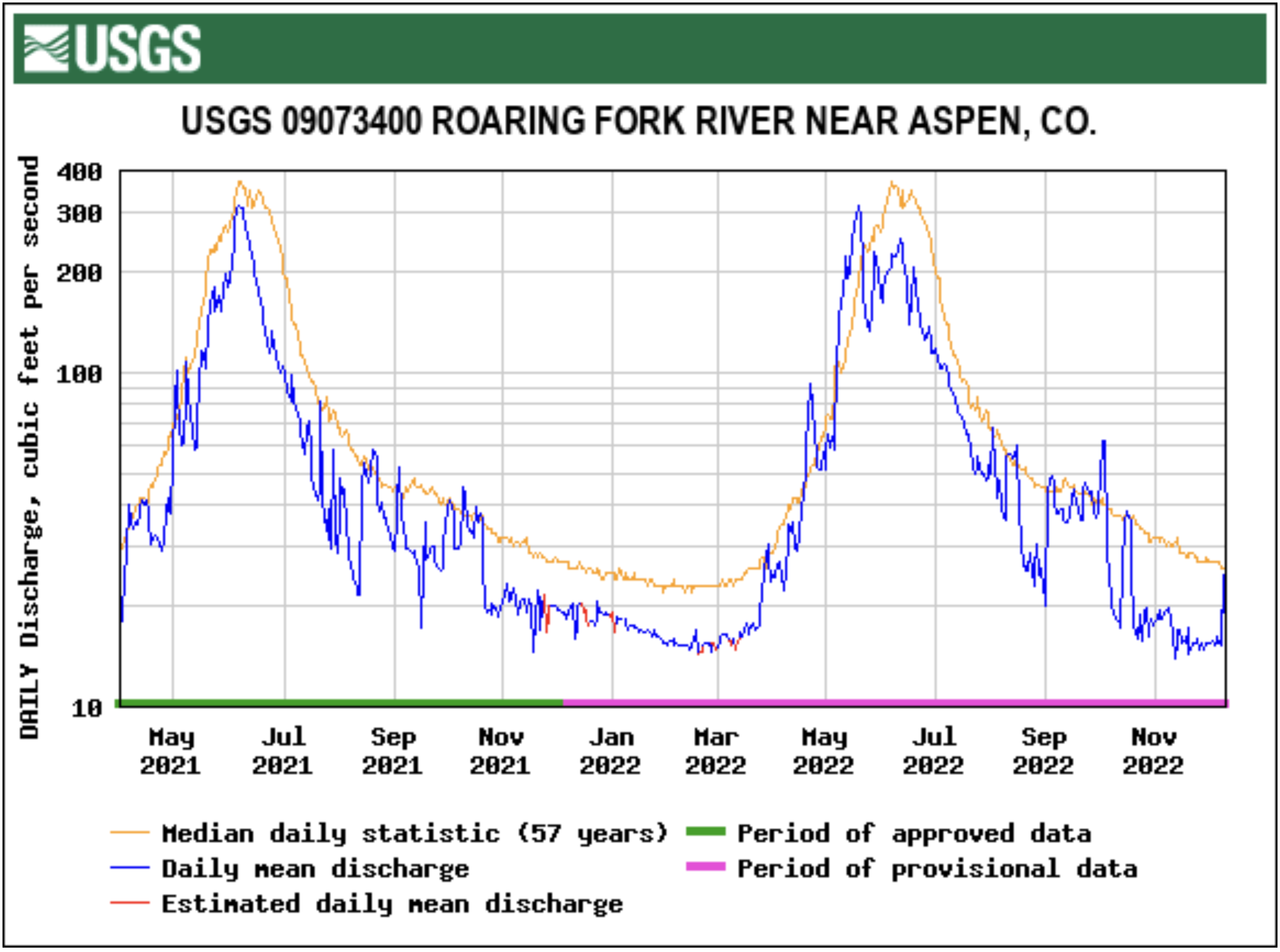
Most streams keep running close to the average
The Roaring Fork River below Maroon Creek flowed at 95 cfs on Dec. 4, or 93.3% of average, according to the USGS gauge. That’s down from Nov. 27, when the river was flowing at 101 cfs, or 103.1% of average.
At Stillwater, located upstream of Aspen, the Fork on Dec. 4 ran at 15.2 cfs or 52.4% of average, down from 15.4 cfs but up from 51.3% of average on Nov. 27.
The upper Fork’s flow is impacted by the Independence Pass transbasin diversion system that sends Roaring Fork headwaters to Front Range cities. Water flowing through the tunnel under the Continental Divide between Grizzly Reservoir on Lincoln Creek and the South Fork of Lake Creek measured 12.2 cfs on Dec. 4.
The Roaring Fork at Emma, below the confluence with the dam-controlled Fryingpan, saw on Dec. 4 streamflow of 263 cfs, or about 96% of average. That’s down from 270 cfs, but up from 94.4% of average, on Nov. 27.
Meanwhile, the Crystal River above Avalanche Creek, which is not impacted by dams or transbasin diversions, flowed at 65 cfs, or 110.7% of average, on Dec. 4. Last week, the river ran at 66 cfs, or 104.6% of average.