The secret double life of America’s public lands: And why you should know about it if you drink water… —  John Zablocki (AmericanRivers.org)

Middle Fork Snoqualmie River, Washington | Monty Vanderbilt Lightroom processing

Click the link to read the article on the American Rivers website (John Zablocki):

January 21, 2025

Public lands are the birthright of every American. One of the great privileges of living in this country is the ability to access hundreds of millions of acres to enjoy the great outdoors — all for free.

People care about and use public lands for many reasons. From hunters and anglers to miners and ranchers, hikers and mountain bikers—there is something for almost everyone on public lands.  But what if you live in a city and never set foot on public lands?  Why care about them then?

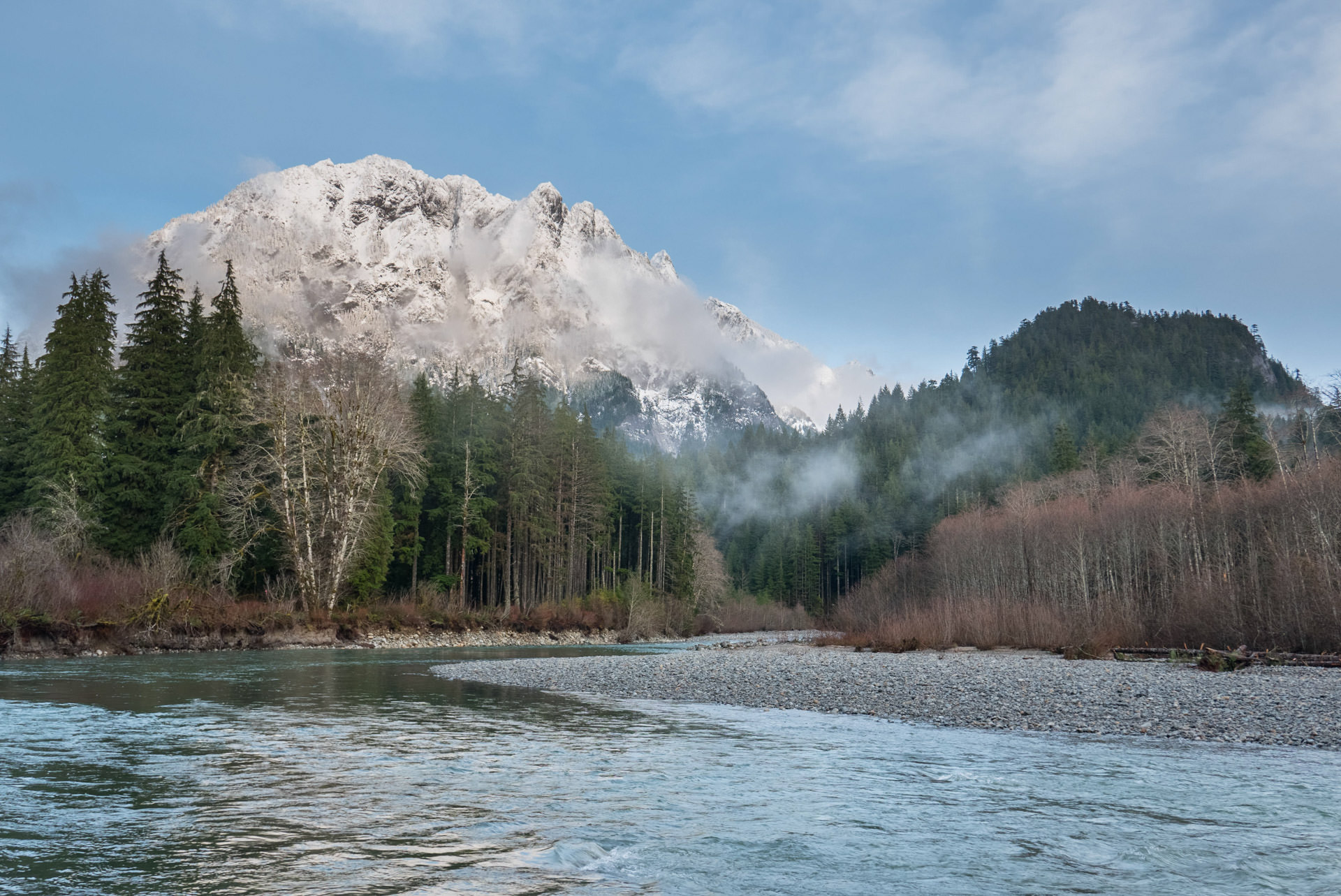
Not everyone hunts, fishes, mines, ranches, hikes, or bikes; but everyone, truly everyone, depends on clean water. The big secret about public lands is that they are arguably the country’s single biggest clean water provider. According to the US Forest Service, National Forests are the largest source of municipal water supply in the nation, serving over 60 million people in 3,400 communities across 33 states.  Many of the country’s largest urban areas, including Los Angeles, Portland, Denver, and Atlanta receive a significant portion of their water supply from national forests.

Log Meadow, California | Maiya Greenwood

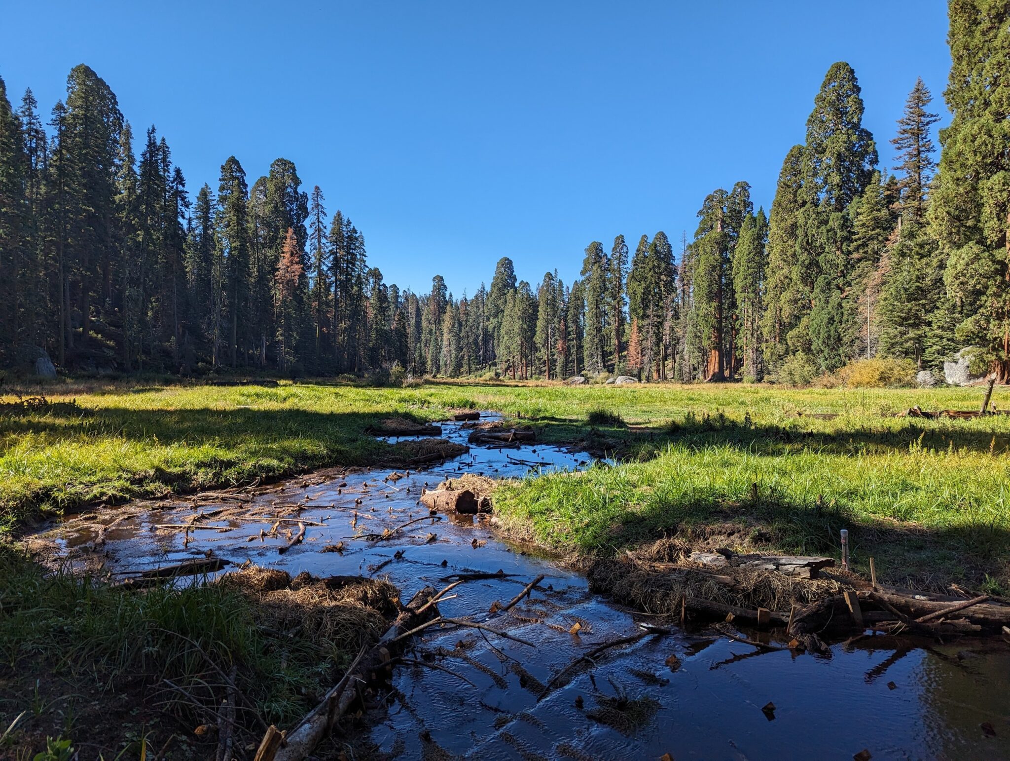
Healthy forests and grasslands perform many of the functions of traditional water infrastructure. They store water, filter pollutants, and transport clean water to downstream communities. And they do it naturally — essentially for free.  When rivers are damaged from land uses on public lands, we all pay the price — literally; we all pay more in taxes and utility bills to clean up the water.

What happens on the public’s land also happens to the public’s water. The importance of managing public lands for the benefit of public water is so fundamental, it has been a pillar of public lands management agencies’ missions since their inception over a century ago. For example, The Organic Act of 1897[1] that created the US Forest Service stated:

When land is degraded due to mining, clear-cutting, overgrazing, and other uses, the negative effects are carried far, far downstream, all the way to your faucet. Poor land management practices also release sediments and contaminants into public water supplies. Such pollution has major consequences, from raising water treatment costs  to potentially causing serious public health crisis. 

Poor land management is the main driver of desertification — the phenomenon of lush riparian areas turning into barren plains. Desertification depletes the public’s supply of water, as well as the public’s supply of grass for livestock and big game that ranchers and hunters depend on.

Access to clean, reliable water is a need that cuts through all social and political divisions.  It is fundamental to life, literally. Land management that neglects watershed health amounts to peeing in the nation’s public pool — something I think we can all agree we don’t want to happen to our drinking water.


[1] For a good chronological summary of major FS law and policies since the Organic Act of 1897, see:
https://www.fs.usda.gov/Internet/FSE_DOCUMENTS/fseprd530507.pdf

Assessing the U.S. Climate in February 2025: Winter was warm and dry for the contiguous U.S.; seasonal snowfall was below average across the Northern Plains and Upper Midwest — NOAA

Click the link to read the article on the NOAA website:

March 10, 2025

Key Points: 

  • Season-to-date snowfall was two or more feet below average across portions of the northern Plains and Upper Midwest, and above average downwind of the Great Lakes, in portions of the West and in parts of the central Plains, Gulf Coast, Southeast and Ohio Valley.
  • Alaska had its third-warmest winter, while Hawai’i had its second-warmest and fifth-driest winter on record.
  • Temperature and precipitation across the contiguous U.S. in February ranked near average.

Other Highlights: 

Temperature

The average temperature of the contiguous U.S. in February was 34.9°F, 1.0°F above average, ranking in the middle third of the 131-year record. Generally, February temperatures were above average across much of the Southwest, Gulf Coast and Southeast and cooler-than-average from the Pacific Northwest to the northern and central Plains. Arizona had its second-warmest February on record.

The Alaska statewide February temperature was 11.8°F, 7.0°F above the long-term average, ranking in the warmest third of the 101-year period of record for the state. The Aleutian region ranked fourth warmest, with much of the state experiencing above-average temperatures. Below-average temperatures were present across the South Panhandle region.

For February, Hawai’i had an average temperature of 64.5°F, 1.4°F above the 1991–2020 average, ranking sixth warmest in the 35-year record.

The meteorological winter (December–February) average temperature for the Lower 48 was 34.1°F, 1.9°F above average, ranking in the warmest third of the record.

The Alaska winter temperature was 13.6°F, 10.0°F above the long-term average, ranking third warmest in the historical record for the state.

Hawai’i had a winter temperature average of 64.9°F, 1.2°F above average, ranking second warmest in the historical record.

Precipitation

February precipitation for the contiguous U.S. was 2.13 inches, which is average for the month. Wetter-than-average conditions were present across much of the Northwest and from the central Mississippi Valley to the East Coast and into parts of the Northeast. Dry conditions were present from parts of the Southwest and Deep South to the Great Lakes and northern Plains, as well as in portions of the Southeast.

Alaska’s average monthly precipitation ranked ninth driest for February, with portions of southwestern and southcentral Alaska having been much drier than average.

Precipitation across Hawai’i in February averaged 1.22 inches, 3.88 inches below average, ranking third driest on record.

The U.S. winter precipitation total was 5.87 inches, 0.92 inch below average, ranking in the driest third of the December–February record.

For the winter season, precipitation ranked in the wettest third of the historical record for Alaska.

Winter precipitation across Hawai’i was 8.52 inches, 8.03 inches below average, ranking fifth driest on record.

US Drought Monitor map March 4, 2025.

Drought

According to the March 4 U.S. Drought Monitor report, about 44.4% of the contiguous U.S. was in drought, up about 2% from the beginning of February. Drought conditions expanded or intensified across the Pacific Northwest, portions of the Southwest, Midwest, southern Plains and Hawai’i. Drought contracted or was reduced in intensity across parts of the Tennessee Valley, Mid-Atlantic, Northern Rockies and parts of the West Coast.

Monthly Outlook

Above-average temperatures are favored to impact the Deep South and Southeast while precipitation is likely to be above average across portions of the Northwest and Great Lakes. Drought is likely to persist or expand across parts of the central and northern Plains, Southwest and Deep South. Visit the Climate Prediction Center’s Official 30-Day Forecasts and U.S. Monthly Drought Outlook website for more details.

Significant wildland fire potential for March is above normal across portions of the Southwest, Deep South and Southeast. For additional information on wildland fire potential, visit the National Interagency Fire Center’s One-Month Wildland Fire Outlook.


For more detailed climate information, check out our comprehensive February 2025 U.S. Climate Report scheduled for release on March 13, 2025. For additional information on the statistics provided here, visit the Climate at a Glance and National Maps webpages.