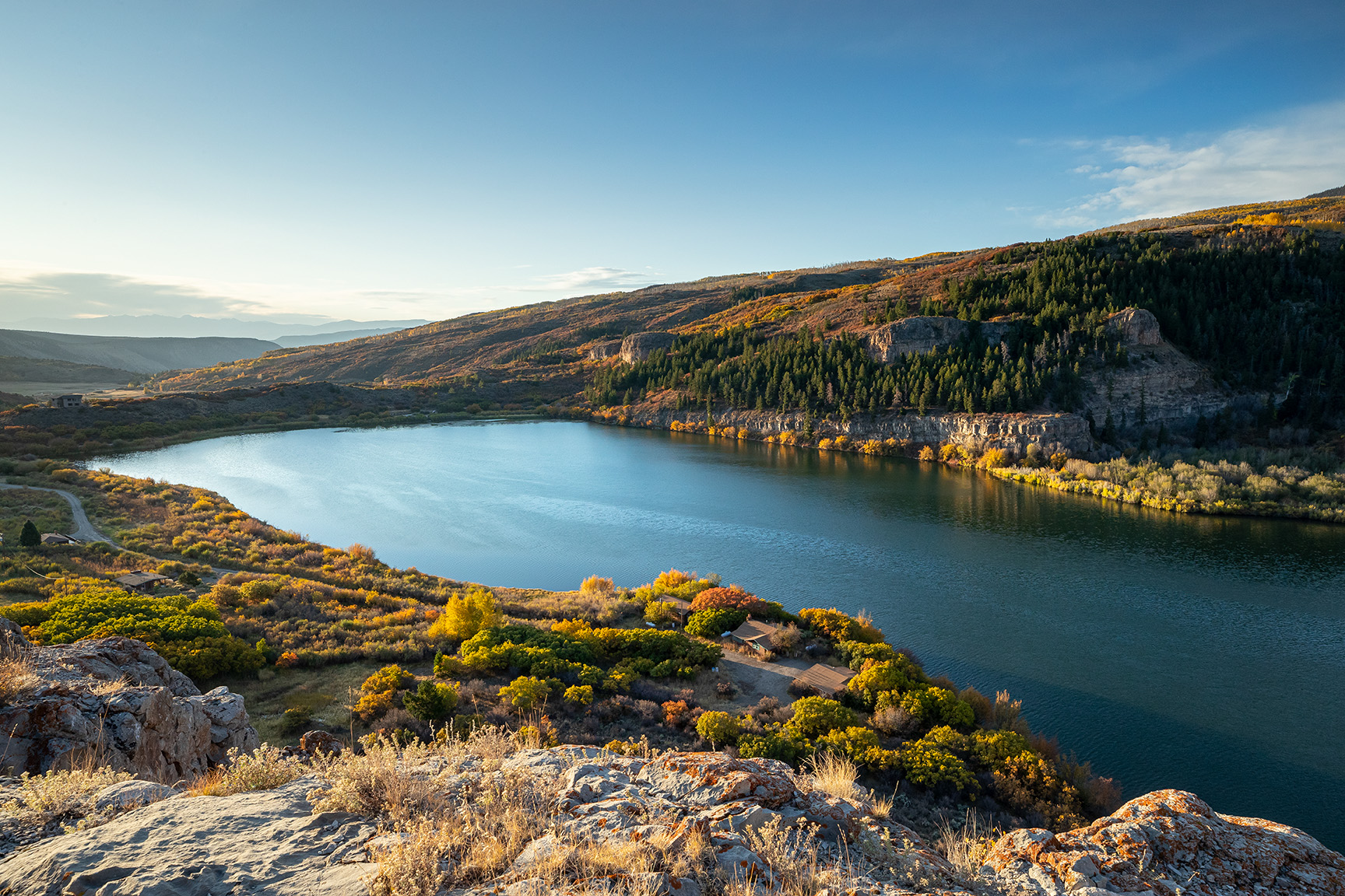
View of Shoshone Hydroelectric Plant construction in Glenwood Canyon (Garfield County) Colorado; shows the Colorado River, the dam, sheds, a footbridge, and the workmen’s camp. Creator: McClure, Louis Charles, 1867-1957. Credit: Denver Public Library Digital Collections
Click the link to read the article on the Aspen Times website (Ali Longwell). Here’s an excerpt:
September 20, 2025
The battle over one of the Colorado River’s oldest, non-consumptive water rights continued this week during a 14-hour Colorado Water Conservation Board hearing over whether the rights could be used for the environment. The Colorado River District is seeking to acquire the Shoshone water rights — tied to a hydropower plant on the Colorado River in Glenwood Canyon — from Xcel Energy for $99 million. The River District, a governmental entity representing 15 Western Slope counties, is proposing to add an instream flow agreement to the acquisition, which would allow a certain amount of water to remain in the river for environmental benefits. While the state’s water board — the only entity that can hold an instream flow water right in Colorado — was set to decide on the proposal this week, this was pushed to November after the parties agreed to take more time to reach a consensus on the proposal.
“The exercise of the Shoshone water rights impacts almost every Coloradan,”said Davis Wert, an attorney speaking on behalf of Northern Water.
Northern Water is contesting the instream flow agreement alongside Denver Water, Aurora Water, and Colorado SpringsUtilities. These providers rely on transmountain diversions from the Colorado River basin to supply water to their customers…While the hearing did include some back and forth, the entities west and east of the Continental Divide agreed on a few things during the hearing. First, adding an instream flow agreement to the Shoshone right will preserve and improve the natural environment. Second, they want to maintain the status quo on the Colorado River…Michael Gustafson, in-house counsel for Colorado Springs Utilities, said the provider did not oppose the change of the senior Shoshone water right for instream flow purposes “to provide for permanency of the historic Shoshone call and maintenance of the historical Colorado River flow regime…
With that, however, there were a few sticking points during the hearing: who should manage the instream flow agreement — and have the authority to make decisions on Shoshone calls — and how much water has historically been granted as part of the right. The historic flow regime has been highly contested between the parties but will ultimately be determined in the Colorado Water Court proceedings that will conclude the River District’s acquisition. Wert acknowledged this as the Front Range entities presented a historic use analysis that contrasted the preliminary analysis obtained by the River District…The Colorado River District’s proposed instream flow agreement includes a “co-management strategy,” while the contesting Front Range providers want the sole management authority to reside with the Colorado Water Conservation Board.
In 2020, the Land and Water Conservation Fund provided a critical $8.5 million to help transfer ownership of Sweetwater Lake to the White River National Forest. Photo credit: Todd Winslow Pierce with permission
Click the link to read the article on the Summit Daily website (Ali Longwell). Here’s an excerpt:
September 16, 2025
The U.S. Department of the Interior is shifting priorities within a federal conservation and land access program in a way that some conservation groups say is antithetical to its purpose of preserving public lands. Interior Secretary Doug Burgrum issued a secretarial order on Sept. 4 that adds guardrails for how the Land and Water Conservation Fund is implemented within the department. Specifically, the order places a priority on land acquisitions by the U.S. Fish and Wildlife Service and National Park Service over those by the Bureau of Land Management. Opposing groups are concerned that it will essentially preclude Bureau of Land Management acquisitions.
“Basically, all of the BLM projects we’ve seen in the last several years would not qualify,” said Amy Lindholm is the director of federal affairs for the LWCF Coalition, an advocacy organization that connects group stakeholders, including nonprofits, ranchers, local governments and land trusts.
It also requires projects to receive approval from the governors and local municipalities, grants states the ability to use the funds to purchase “surplus” federal property and limits how nonprofits can participate in the program. The department said in a news release that the actions are meant to align with President Donald Trump’s “commitment to expanding outdoor recreation, reducing red tape and ensuring that America’s public lands serve the American people.” Some environmental, hunting and recreation groups have expressed concerns over the impact the order will have, claiming that it will unnecessarily narrow eligibility, politicize the process and open up the door for the disposal of public lands.
The San Juan River near Navajo Dam, New Mexico, Aug. 23, 2015. Photo credit: Phil Slattery Wikimedia Commons
From email from Reclamation (Conor Felletter):
The Bureau of Reclamation has scheduled an increase in the release from Navajo Dam to 650 cubic feet per second (cfs) from the current release of 500 cfs for Tuesday September 23, at 4:00 AM.
Releases are made for the authorized purposes of the Navajo Unit, and to attempt to maintain a target base flow through the endangered fish critical habitat reach of the San Juan River (Farmington to Lake Powell). The San Juan River Basin Recovery Implementation Program recommends a target base flow of between 500 cfs and 1,000 cfs through the critical habitat area. The target base flow is calculated as the weekly average of gaged flows throughout the critical habitat area from Farmington to Lake Powell.
This scheduled release change is subject to changes in river flows and weather conditions. If you have any questions, please contact Conor Felletter (cfelletter@usbr.gov or 970-637-1985), or visit Reclamation’s Navajo Dam website athttps://www.usbr.gov/uc/water/crsp/cs/nvd.html
Oil and gas production on Bureau of Land Management land in Wyoming. The Trump Administration’s move to repeal a Biden-era conservation rule aligns with a greater push for energy production on public lands. Photo credit: Bureau Of Land Management
Click the link to read the article on the KUNC website (Rachel Cohen). Here’s an excerpt:
September 11, 2025
[President Trump’s] Administration is moving to repeal a major Biden-era rule that elevated conservation in federal land use decisions, paving the way for expanded energy production on public lands. The Public Lands Rule was among the Biden Administration’s signature efforts to protect and restore Bureau of Land Management (BLM) land in the face of climate change and increasing land fragmentation. The BLM is legally required to manage public lands for “multiple use” and “sustained yield” under the 1976 Federal Land Policy and Management Act, and also to maintain natural, cultural and historic resources for future generations. But critics say the agency prioritized extractive uses. The Public Lands Rule clarified that conservation could be an official use of the land, alongside grazing, oil and gas drilling, mining and logging. Among other things, it created a framework for leases focused on restoring or maintaining landscapes. In a press release Wednesday, Interior Secretary Doug Burgum announced the agency’s proposal to repeal the rule, saying promoting conservation in this way threatened to curtail traditional land uses.
“The previous administration’s Public Lands Rule had the potential to block access to hundreds of thousands of acres of multiple-use land – preventing energy and mineral production, timber management, grazing and recreation across the West,” said Secretary Burgum. “The most effective caretakers of our federal lands are those whose livelihoods rely on its well-being. Overturning this rule protects our American way of life and gives our communities a voice in the land that they depend on.”
The deadline is rapidly approaching for the Colorado River Basin states to come up with a plan for divvying up the river’s waters and operating its reservoirs and other plumbing infrastructure after 2026. But a team of experts1 warns that even if the states do make the November deadline — and it’s looking more and more likely they won’t — it won’t be soon enough to avert a crisis in the coming 12 months if the region experiences another dry winter.
Their analysis found that a repeat of the 2025 water year, which ends at the end of this month, will result in consumptive water use in the basin exceeding the Colorado River’s natural flow by at least 3.6 million acre-feet. That would potentially use up the remainder of the “realistically accessible storage” in Lake Mead and Lake Powell, constraining reservoir operations as early as next summer.
“Given the existing limitations of the river’s infrastructure,” they write, “avoiding this possible outcome requires immediate and substantial reductions in consumptive use across the Basin.”
The authors of the paper acknowledge that, despite a plethora of available data, it can be “difficult to see the water forest amid all the data trees.” Interpreting the data is rife with complexity, and translating snow water equivalents at hundreds of SNOTEL sites into streamflow forecasts is an uncertain science. However, it is abundantly clear that for the last quarter century, the collective users of the Colorado River have consumed more than the river offered, leading to a deep drawdown of the basin’s “saving accounts,” i.e. Lake Powell, Lake Mead, and a dozen smaller federal reservoirs.
As of Sept. 14, Lake Powell contained about 6.85 million acre-feet of water2, which is less than one-third of what was in the reservoir on the same date in 1999 (23.23 MAF). Lake Mead held about 8 MAF, or 32% of capacity. Equally striking is that in just the last year, Lake Powell has lost about 2.4 MAF of its water — or about 30 feet of surface elevation — to downstream releases and evaporation. The savings account is rapidly draining.
The authors assume that next year’s natural flow on the Colorado River will be the same as in 2025, or 9.3 MAF3, which they describe as a “realistic and conservative, but not overly alarmist, projection” based on the Bureau of Reclamation’s own forecasts. And, also based on Reclamation reports, they assume total Colorado River consumptive use in the U.S. and Mexico will be 12.9 MAF.
That makes for a deficit of 3.6 MAF that will have to come from the reservoirs’ dwindling storage, potentially putting the elevation of Lake Powell at 3,500 feet by this time next year. And, due to the infrastructure’s limitations and the Bureau of Reclamation’s desire to keep the reservoir from dropping below minimum power pool, Glen Canyon Dam would have to be operated as a “run of the river” (ROR) facility. That means it couldn’t release more water than is coming into the reservoir at any given time, severely reducing downstream flows in the Grand Canyon and causing an even more rapid drawdown of Lake Mead.
Crystal Rapid via HPS.com
Lava Falls: “This, I was told, is the biggest drop on the river in the GC. It’s 35 feet from top to bottom of the falls,” John Fowler. The photo was taken from the Toroweap overlook, 7 June 2010, via Wikimedia.
Lake Powell inflows this August totaled about 268,000 acre-feet, while releases were 761,000 acre-feet, meaning under the ROR scenario the monthly release volume would be cut by nearly 500,000 acre-feet. Even more alarming is that instead of sending between 9,000 and 12,000 cubic feet of water per second into the Grand Canyon, late summer streamflows below the dam could fall as low as 2,000 cfs, affecting aquatic life and making river running significantly less predictable (and more like the pre-dam days4, save for the amount of sediment in the water). I’d be curious to see Crystal rapid or Lava Falls at 2,000 cfs. Any insight on that one would be appreciated.
While this scenario could be delayed by essentially draining upstream reservoirs such as Flaming Gorge in Utah and Wyoming or Blue Mesa in Colorado, it would only offer a temporary reprieve. Two consecutive dry years would certainly render Glen Canyon Dam essentially useless, and leave Lower Basin users high and dry. Which leaves the folks relying on the river with a couple of choices: They can pray for a lot of snow and hope someone’s listening, or they can slash consumption significantly and rapidly.
Not just one, but two tornadoes hit San Juan County, Utah, over the weekend, and when I say tornadoes, I mean honest-to-god twisters of the kind you normally see in the Midwest, not in the Four Corners region. In fact, one of them wrecked three houses and damaged others in the Montezuma Creek area, according to a Navajo Timesreport, while another touched down south of Blanding and destroyed or damaged homes, trailers, and a hay barn. While there were no reports of human injuries, but an unknown number of pets and livestock went missing during the event.
The tornadoes were part of a series of late-season monsoonal storms that hit the region, bringing downpours, increasing streamflow, and leaving some mountain peaks white with a dusting of snow. The storms’ effects varied across the region. Flows in the San Juan River in Pagosa, for example, shot up from around 100 cfs to over 1,000 cfs in a matter of hours before falling back down again almost as rapidly, whereas the Animas River in Durango jumped up to almost 600 cfs and plateaued for a few days. It’s the latter, more sustained increase that could give Lake Powell a much-needed bump, although it won’t mean much without a lot of snow this coming winter.
It looks like AI generated this. It did not. That’s real life, as surreal as it may appear. Source: San Juan County Sheriff Facebook page.
***
Well this is a bummer: There’s no fruit in the Fruita Historic District orchards in Capitol Reef National Park this year.
The Gifford Homestead in Capitol Reef National Park. Jonathan P. Thompson photo.
The orchards sit in the lush valley of the Fremont River under the watch of desert varnished Wingate sandstone cliffs, and typically the trees produce cherries, plums, peaches, almonds, pears, apples, quince, walnuts, mulberries, nectarines, and apricotsthat are free for the picking. The folks at the Gifford Homestead store even make and sell outrageously good pies using said fruit (I think I may have eaten more than one pie last time I was there).
But this spring “an unusual warm spell began the bloom at the earliest time in 20 years,” according to Capitol Reef National Park’s climate webpage. “The warmth was interrupted twice by nights that plummeted below freezing. This temperature whiplash froze even the hardier blossoms, causing a loss of over 80% of the year’s fruit harvest. Climate change threatens this bountiful, interactive, and historical treasure.”
That sucks, but I have to say I’m pleasantly surprised that the National Park Service still has this sort of climate-related information on its website, and that it is even allowed to use the word “climate” these days.
😀 Good News Corner 😎
Yes, there are some bright spots in these dark times. One of them is shining out of California’s Central Valley, where the Turlock Irrigation District’s solar-over-canal installation is now online. The project is exactly what it sounds like: An array of photovoltaic panels spanning an irrigation canal. One portion is 20 feet wide, the other 110 feet, and the system has a capacity of 1.6 megawatts, which isn’t huge, but it’s enough to power pumps and other equipment.
A map of the Aqueduct route from the Colorado River to the Coastal Plain of Southern California and the thirteen cities via the Metropolitan Water District of Southern California.
The California installation follows a similar installation built by the Gila River Indian Community in Arizona last year. Both are scene as test cases that could open the door to much larger, utility-scale arrays.
The arrays not only generate power, but also shade the canals, reducing evaporation. Best of all, the canals are a low-conflict site for solar, and don’t require scraping any deserts of vegetation or messing up neighbors’ views, though it could restrict fishing — if looking to land a catfish or something from a cement-lined waterway is your sort of thing.
There’s really no reason all of the canals in California and Arizona couldn’t be covered with solar. Yes, there are transmission constraints, and some areas would have to remain uncovered for access and maintenance, but still. And while we’re at it, why not put the panels over parking lots and on top of big box stores and reclaimed coal mines and, well, you get the picture.
***
Also in the cool news department: Navajo entrepreneur Celesta Littleman’s Sunbeam Tours and Railway is working to convert the old electric railway that hauled coal from Black Mesa to the Navajo Generating Station into a track for zero-emissions electric rail vehicles for tourists, sightseers, and anyone else that wants to travel the scenic route.
1Analysis of Colorado River Basin Storage Suggests Need For Immediate Action, by: Jack Schmidt, Director of the Center for Colorado River Studies at Utah State University; Anne Castle of the Getches-Wilkinson Center at CU Boulder and former U.S. Commissioner of the Upper Colorado River Commission; John Fleck, Writer in Residence at the Utton Transboundary Resources Center at the University of New Mexico; Eric Kuhn, Retired General Manager of the Colorado River Water Conservation District; Kathryn Sorenson, of the Kyl Center for Water Policy at Arizona State University and former Director of the Phoenix Water Services; and Katherine Tara of the Utton Transboundary Resources Center.
2 This is the total amount of water backed up behind Glen Canyon Dam. But this is not all available for use due to the dam’s infrastructure and the need to keep the water level above minimum power pool so that water can continue to be released via the penstocks and hydroelectric turbines. There’s actually only about 2.7 million acre-feet of “realistically accessible storage” in Lake Powell and 3.6 MAF in Lake Mead (as of 9/1/2025).
3 This includes 8.5 MAF natural flow at Lees Ferry, plus about .8 MAF from springs and tributaries running into the river between Lees Ferry and Hoover Dam.
4 For months after the dam was first completed, managers released a relative trickle at times, with daily flows at Lees Ferry dropping as low as 700 cfs in 1963 and lower than 1,000 cfs on many occasions in the sixties. And prior to the Grand Canyon Protection Act of 1992, when minimum daily releases were implemented, managers sometimes released as little as 1,300 cfs from the dam at times to try to maintain reservoir levels.