
Click here to read the report.
Day: May 8, 2015
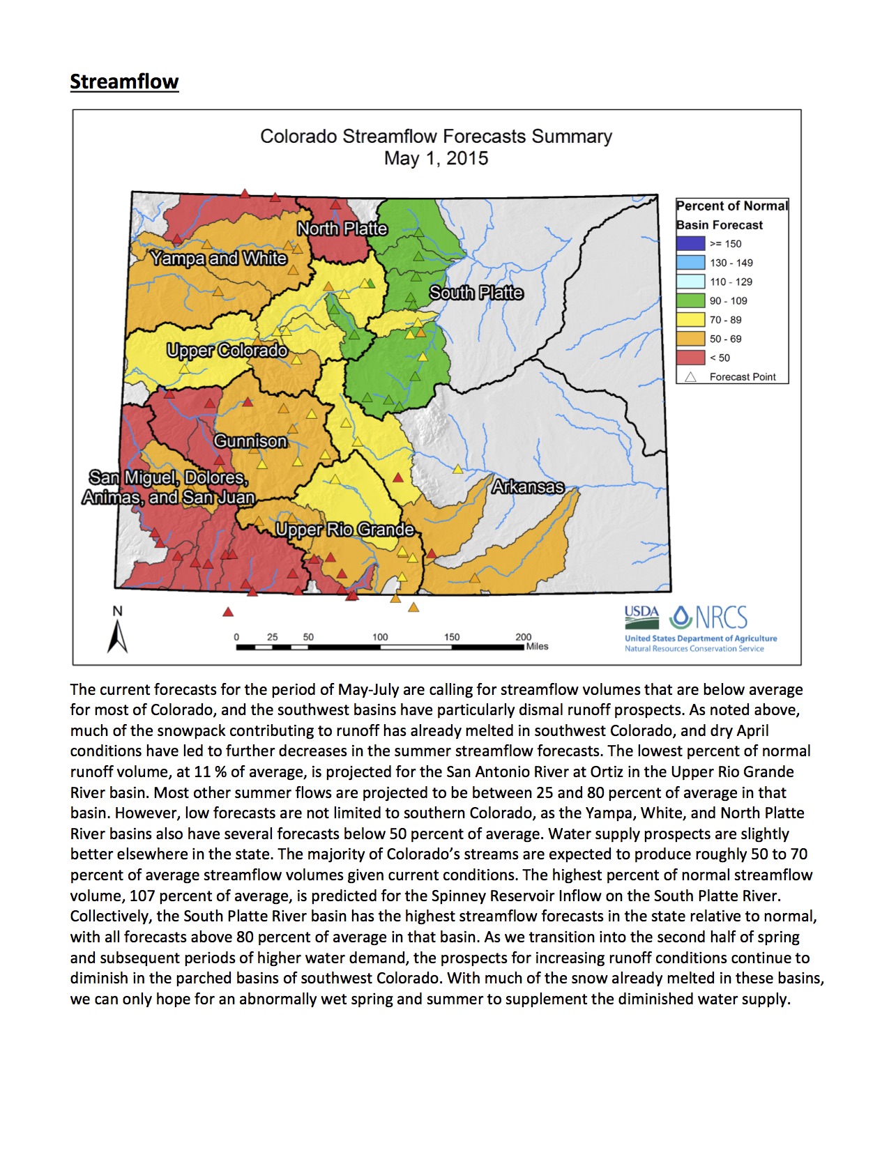
Drought news: Southeastern Colorado dryness improves

US Drought Monitor May 5, 2015

West Drought Monitor May 5, 2015

Colorado Drought Monitor May 5, 2015
Click here to go to the US Drought Monitor website. Here’s an excerpt:
The Plains
The best of this week’s rains fell outside most of the primary drought areas in the, but some beneficial rains helped to continue the recovery process across parts of Kansas, western Oklahoma and western Texas. The lack of rainfall in South Dakota means D2 has advanced westward toward the Black Hills. While this has provided favorable planting conditions, it has also led to an early stress on range and pasture conditions across much of the northern Plains.
Other changes worth noting this week are shown in western Oklahoma and north and northwestern Texas, including the Panhandle. This has led to a reduction of D1-D3 this week based on the favorable short-term pattern and prospects for future rains looking quite promising over the next week as well. These recent rains and the resultant short-term benefits (soil moisture, streamflows, rangeland conditions) means that the short-long term impact line (SL) has been pushed northward into the Texas and Oklahoma Panhandles and a bit eastward into western Oklahoma as well. Long-term drought hangover impacts are still noted in those areas falling under the long-term (L) impact line designation, reflecting longer-term lack of deep soil moisture, tree stress, and below-normal groundwater and reservoir levels, which will need to continue to see recovery before this 5-year drought is truly broken…
The West
On the heels of last week’s favorable rains in eastern New Mexico, more modest rains, but rain nonetheless, fell again across eastern New Mexico, helping to continue pushing back the D0-D2 conditions found in the northeastern corner of the state. This relief hasn’t stopped at the border, as southeastern Colorado shares in the improvement this week, with a chipping away of D0-D2. Streamflow levels continue to respond favorably, but surface water storage has a ways to go, with Elephant Butte remaining at only 19.9 percent full (based on conservation storage and conservation capacity) as compared to 18.5 percent this time last year. However, it is up from just six months ago when the reservoir was below 10 percent full.
To the west of New Mexico, Arizona’s relatively favorable short-term precipitation led to the removal of the small D3 area found in the southeastern corner of the state. Long-term impacts and overall recovery are still lacking, heading into an important monsoon season, as D1-D2 conditions still cover over 80 percent of the state.
The situation continues to deteriorate across northern California and Oregon as well. This is reflected by a slight expansion of D1-D2 to the west in extreme northwest California and extreme southwest Oregon. The northwest corner of Oregon also sees a bump downward this week with an expansion of D2 there.
Idaho has also taken a turn for the worse as the wet season winds down, with expansions of D0 across the Panhandle and central regions and of D1 in the west-central region of the state. Water supply forecasts continue to decline along with the early melt-out of an already below-normal snow pack. The D0 also expanded to the east into Montana along the Bitterroot Range. Speaking of Montana, this week’s map reflects an expansion of D1 in the southwest corner along with a push eastward of the D0 into the southeastern corner of the state…
Looking Ahead
For the upcoming 5-day period, May 7-May 11, a large, slow moving system will churn out into the country’s mid-section, bringing with it potentially heavy rains on the order of 2 to 4 inches. These widespread rains are forecasted along the Rocky Mountains Front Ranges of Colorado and Wyoming along with most of the Great Plains and into the Midwest. Temperatures are expected to be well above-normal in the Pacific Northwest (3 to 9 degrees F) and east of the Mississippi (3 to 9 degrees F). Well below-normal temperatures are likely (6 to 15 degrees F) in southern California, the Great Basin, the Rocky Mountain range and Front Range, the northern Plains and up into Minnesota and western Wisconsin.
For the 6-10 day period, May 12-16, above-normal temperatures are expected across all of Alaska, the Pacific Northwest (including Montana) and the Atlantic Seaboard. Below-normal readings are expected for most of California, the Four-Corner region, the central and southern Plains and the Midwest. As for precipitation, below-normal rainfall is more likely in the northern and central Plains, the Midwest and Ohio Valley. The prospects for above-normal precipitation are located across the Great Basin, Desert Southwest, Texas and the Gulf Coast region.
April 2015 Arctic sea ice is second-lowest on record
2015 Martz Summer Conference June 11th and 12th

Click here for all the inside skinny.
Aspinall Unit operations update: Releases increasing to meet Black Canyon Water Right peak flow target of 2,054 cfs

From email from Reclamation (Erik Knight):
Significant rainfall in the North Fork of the Gunnison basin has changed things considerably over the last 24 hours. What was predicted to be a 1,500 cfs peak at the Somerset gage turned into a 2,600 cfs peak last night, with over 4,000 cfs in the North Fork at the confluence gage. This resulted in flows reaching 5,800 cfs on the Gunnison River at the Whitewater gage, above the peak flow target of 4,991 cfs.
Currently flows in the Gunnison River through the Black Canyon are 1,050 cfs so release at Crystal Dam will continue to be increased in order to reach the Black Canyon Water Right peak flow target of 2,054 cfs. The peak release for the Black Canyon Water Right will be maintained for 24 hours before releases are ramped down, starting late Saturday night, May 9th. The updated release schedule is shown below:

“Australia has used water markets to minimise economic costs during droughts” — Brad Udall

From ABC Rural (Clint Jasper):
For Colorado State University senior water and climate research scientist Brad Udall, many of the problems with the management of water in the CRB come from the “antiquated” First in Time, First in Right system, under which owners of water rights that have held them longest are the last to have allocations cut off, regardless of how they are using the water.
Mr Udall has visited Australia a number of times, at one time being the South Australian water department’s visiting scholar.
“Australia has used water markets to minimise economic costs during droughts and we need to move toward water markets here,” he said.
“It has been very painful to get that in place and historically the powers that be don’t like it, and they feel like it does too much damage to existing interests.”
Australia’s water reforms were born out of crisis, which Mr Udall believes is not too far away for the CRB.
But he says a pre-existing framework of “shared risk” in the Murray-Darling Basin meant the introduction of water markets in Australia was easier than it will be in the USA.
“Australia continued to allocate water rights until the government imposed a cap on overall use in the late 1990s,” Mr Udall said.
“Effectively what you did was dilute shareholders and at some point in time existing shareholders said ‘hold on: we’re all going to be damaged if you don’t limit future water rights’.
“Our prior appropriation system lets people continue to get water rights today, even though there is no water.
“And so there is no collective sense that ‘we’re all being harmed here – we need to do something about it’.”[…]
“I know within Australia there are lots of complaints and criticisms of what you have done, but relative to what the United States’ water management looks like, you are on another planet, you are operating in a different century. It is amazing what you have done,” he said.
More Colorado River Basin coverage here.