The health of our waters is the principal measure of how we live on the land — Luna Leopold
Dust present throughout state, on top of very big #snowpack — Center for Snow and Avalanche Studies
Albedo effect
Here’s the article from the Center for Snow and Avalanche Studies. Click through and read the whole article and check out the photo galleries from each site. Here’s a excerpt:
Our CODOS tour around Colorado began Monday and finished Friday afternoon. To see a map of our sample sites throughout the state http://www.codos.org/#maps. Dust from the April 9/10 storm event (D3) was observed at all CODOS sites across the entire state. From Monday thru Thursday (April 30 – May 2) most of the Colorado Mountains received a productive storm and general unsettled weather meant 7 days of precipitation at SASP resulting in 3” of precipitation in the form of wet snow. After this productive storm(s) a number of higher elevation SNOTEL stations (see SNOTEL plots below) appear to now be near peak SWE (Berthoud, Grizzly, Hoosier, Red Mountain, Willow, Fremont), although the peak may still be a week away depending on what melt occurs now until Wednesday when a storm system is expected to arrive, and how much precipitation this storm brings and where.
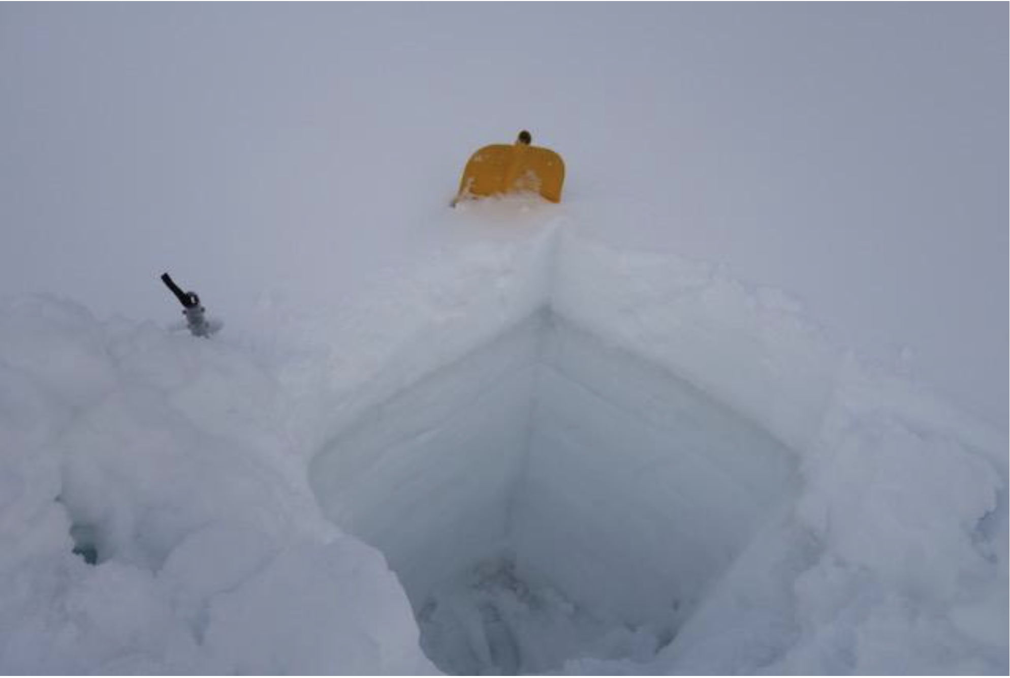
For CODOS sites that were visited before snow accumulation began the dust was observed at the surface. For sites that we visited during or after snow accumulation the dust was under the new snow. So essentially, the dust was on the surface prior to the storm and will be back on the surface once this new snow consolidates and melts. Dust severity is enough that it has and will effect albedo. Below are pictures and observations for each CODOS site detailing location of dust layers, new snow accumulation on the dust, and general sense of severity of dust.
After the overcast and stormy conditions we experienced Monday thru Thursday slowing snowmelt and resulting in reduced streamflows statewide, the heat will be on thru Monday picking things up a bit. The next tap on the snowmelt brakes starts Tuesday with increased chances of precipitation Wednesday-Friday. The snow level will start high, above 9,000’, but lower towards the end of the week. Models are coming into agreement with this system expecting to produce over 1” of water in some areas.
This is a low frequency dust season (only two notable dust events to date) but may be a high consequence snowmelt season. The two dust events we have received are at the top of the snowpack…..a very big snowpack. How it all plays out depends on spring weather going forth. The snowpack at all CODOS sites are isothermal, wet and at certain depths very wet. As storm systems exit the state and warm/sunny conditions return the snowpack will not waste anytime going back into melt mode. Much more so once the dust layer(s) are exposed at the snow surface. So far this spring we have received well timed storm systems slowing down snowmelt, adding even more precipitation to the snowpack, and covering exposed dust. This keeps streamflow peaks from occurring early and all at once. Ideally inclement weather will allow the snow to melt gradually well into the summer, but if we get a stretch of warm and sunny weather we will see rapid melt in basins that are 110%-172% of median snowpack and very high streamflows as a result.
Another item to consider, we mentioned in previous CODOS reports our SBSP site at elevation 12,200’ is currently in the top three years, being up there with WY2005 and WY2011 for the most SWE in our period of record (going back to WY2004). SBSP is the only source of high elevation operational snowpack data in Colorado. The highest SNOTEL station in Colorado is at 11,600’. So not only are we seeing a lot of snow at higher elevations at SBB and visually elsewhere, but our longtime CSAS field assistant has noted that this is the most snow he has seen on all aspects for this time of year, notably southerly aspects. This winter we did not see any winter “droughts” where a long period, usually in January or February, of sustained warm and dry weather render southerly aspects partially or completely devoid of snow. Unlike typical years where the snow would be melted out by now, the southerly aspects most notably still have ample snow.
Snowpack in every part of Colorado’s high country is sporting layers of dust, according to a new statewide survey of the state’s winter accumulation.
“This is a low frequency dust season,” wrote Jeff Derry, head of the Colorado Dust on Snow Program, in a post about the survey results. “But may be a high consequence snowmelt season.”
Dust is darker than snow. Just like a black T-shirt on a sunny day, it absorbs more sunlight, causing what’s underneath it to heat up more rapidly.
“It’s like holding a magnifying glass up to the snowpack,” Derry said.
A snow pit on Loveland Pass shows a narrow stripe of dust near the surface. When it’s exposed, the dust can speed up melt off by a couple weeks. Photo credit: Center for Snow and Avalanche Studies via KUNC
Each year Derry and his colleagues from Silverton’s Center for Snow and Avalanche Studies dig snow pits throughout the state to check on the layers of dust. This winter he found two distinct stripes, close to the surface. A dust storm in early March left one of those layers. Another storm in the first week of April blanketed dust on snowpack throughout the state’s high country.
At each of the 11 sites Derry visited, dust was present somewhere in the snowpack.
Snow melts from the top down. The layers closest to the surface melt through the snowpack, exposing those underneath.
Once dust layers are exposed, they have the potential to speed up snow melt. Depending on the severity of the dust deposition and where the layers lie within the snowpack, dust can shorten the runoff season by a couple weeks to a month. In a heavy snow year, like the winter of 2019, that could mean rapid melt in watersheds across the state, making water management much more difficult.