The buildup of man-made greenhouse gas in the atmosphere is raising global temperatures, which are linked to melting ice sheets in Greenland and rising seas eating away at islands like Tuvalu in the South Pacific.
For the West, the prime climate question will be about snow: how much of it will fall on the Sierra Nevada, the Cascade Range and the Rocky Mountains and how much water it will yield.
Scientists are searching for a solution to the conundrum using supercomputers, laser radar, climate data from centuries past, measurements of stream flow and snowpack across the region and, in [Heidi] Steltzer’s case, by dropping a small plastic tent over prairie smoke to measure its breathing out of oxygen and water and its breathing in of carbon dioxide…
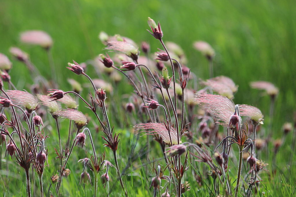
Prairie smoke is one of the plant species Fort Lewis College researcher Heidi Stetzer is studying to try and understand how a warming climate will influence snowfall in the West. (USFWS Mountain-Prairie Region)
“The snow systems on our planet are changing as places are getting warmer,” said Steltzer, a 47-year-old biology professor at Fort Lewis College in Durango, “and the coldest places on Earth are getting warmer faster.”
It isn’t only the water budget that is changing. Forests are turning into shrub lands at lower elevations, forest fires are becoming bigger and more common in tinder-dry lands, and mountain plants are taking advantage of the earlier melt and warmer temperatures to bloom sooner.
As those plants, like the prairie smoke, grow, they absorb more water, which they release into the atmosphere along with oxygen through small openings in their leaves called stomata while they take in carbon dioxide.
The process, known as evapotranspiration (ET), is not trivial. In the Colorado River Basin, 75% of the water comes from snow and nearly 80% of that ends up being soaked up by plants and released through leaves and evergreen needles.
This is where Steltzer’s work comes in. To better understand how much water will be lost to the air in a warmer world, she is creating an early snowmelt on plots of mountain meadows outside of Crested Butte – at elevations between 9,100 and 11,400 feet – and measuring how the plants behave and how much water they send skyward.
Steltzer’s work is part of a multimillion-dollar project sponsored by the U.S. Department of Energy and overseen by the Lawrence Berkeley National Laboratory called the Watershed Function Scientific Focus Area.
To understand the area’s hydrology, some researchers are drilling wells, some are making detailed snowpack measurements, while still others have installed gauges in the East River to record when and how much water makes it to the waterway as it heads to the Gunnison River and then on to the Colorado River.
“An overarching question is how mountain systems retain and release water,” said Kenneth Hurst Williams, who oversees the project for the Berkeley lab. “The East River watershed is emblematic of many Colorado River watersheds.”
The goal is to develop a model that can tell water managers how much water they can expect in a river based on snow depth, temperatures, groundwater hydrology, ET and stream flow – a tool that can be used on a year-to-year basis.
While in the first instance the project is focused on the here and now, Steltzer’s work to better understand how plants move water to the atmosphere has broader implications.
To peer into that future of a warming planet, scientists use earth system models (ESM), computer simulations that try to replicate the world’s physical, chemical and biological systems. One thing the models have trouble doing is simulating evapotranspiration…
“Evapotranspiration is also difficult to observe in the real world,” Lehner said. “The point is, we don’t have very good data to vet our models with.”
Evaporation and transpiration graphic via the USGS