
Click the link to read the article on the Water Education Colorado website (Shannon Mullane):
January 23, 2024
On Friday, in the last hours of the Biden administration, the U.S. Bureau of Reclamation announced it would spend $388.3 million for environmental projects in Colorado and three other Colorado River Basin states.
Now that funding is in limbo.
The money was set to come from a Biden-era law, the Inflation Reduction Act. On Monday, President Donald Trump ordered federal agencies to halt spending money under the act. Lawmakers were still trying to understand whether the freeze applied to the entire Inflation Reduction Act or portions of it as of Wednesday afternoon.

The new executive order focused on energy spending but also raised questions about funding for environmental projects in the Colorado River Basin, including $40 million for western Colorado’s effort to buy powerful water rights tied to Shoshone Power Plant on the Colorado River and 16 other projects in Colorado.
Past regulations have been burdensome and impeded the development of the country’s energy resources, according to the executive order.
“It is thus in the national interest to unleash America’s affordable and reliable energy and natural resources,” the order said. “This will restore American prosperity — including for those men and women who have been forgotten by our economy in recent years.”
The president issued dozens of executive actions within hours of his inauguration, including rescinding 78 of former President Joe Biden’s executive actions.
Where spending is stalled, federal agencies will have 90 days to review their funding processes to make sure they align with the Trump administration’s policies.
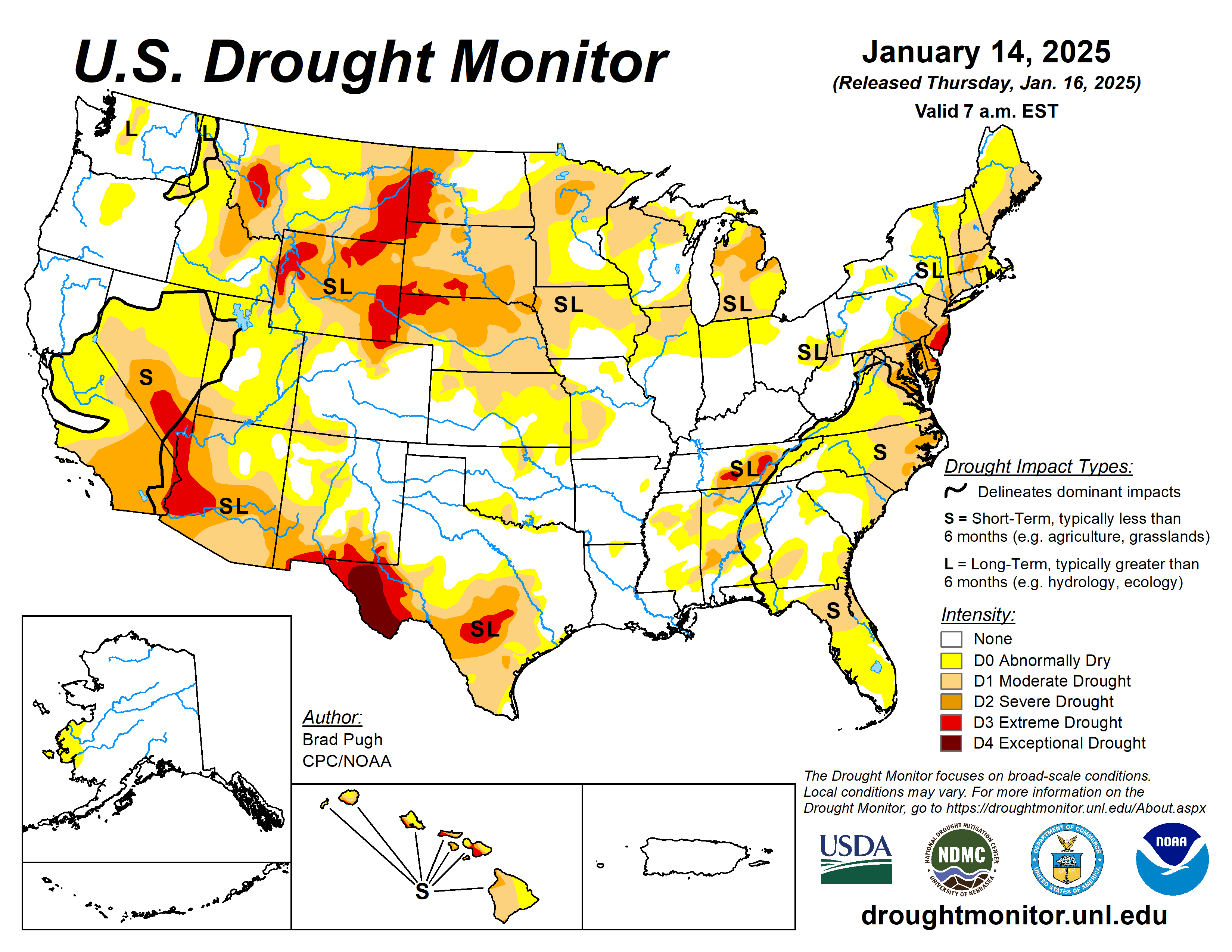
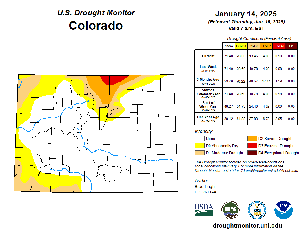
For now, the future is unsure for 42 environmental projects in four states — Colorado, New Mexico, Utah and Wyoming.
Environmental efforts for the Colorado River
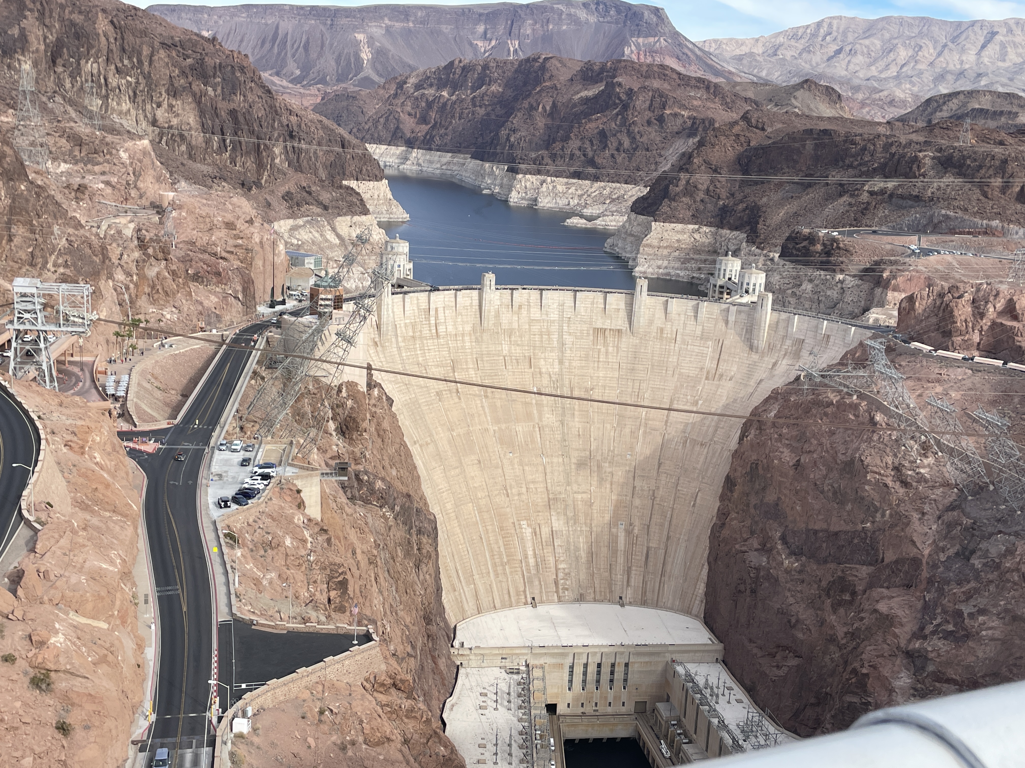
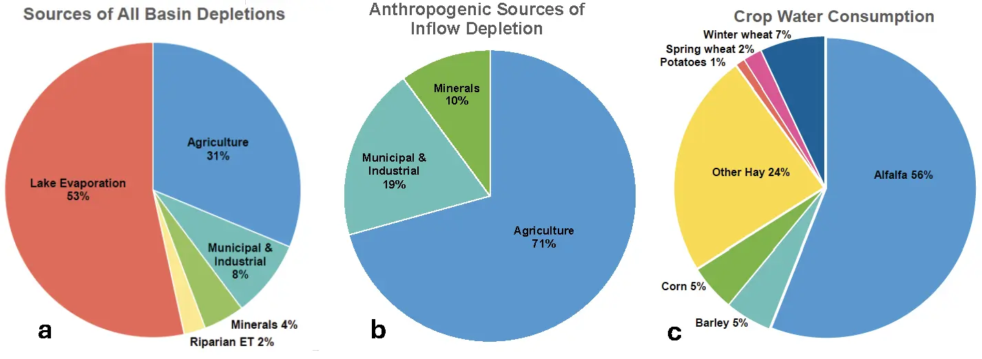
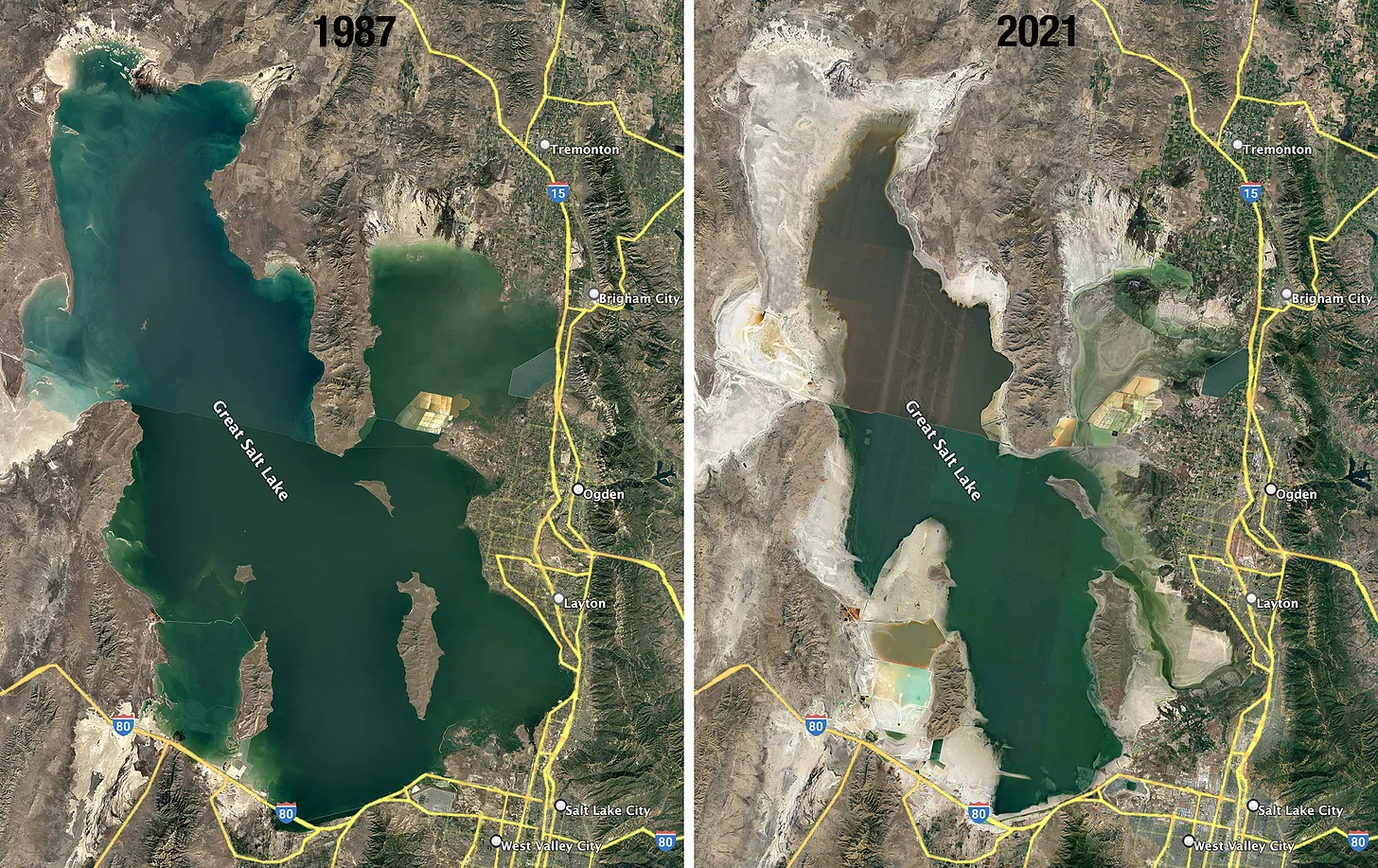
The proposed projects focus on improving habitats, ecological stability and resilience against drought in the Colorado River Basin, where prolonged drought and overuse have cast uncertainty over the future water supply for 40 million people. Reclamation also awarded $100 million for Colorado River environmental projects in Arizona, California and Nevada.
Coloradans were promised up to about $135 million from the Inflation Reduction Act as part of the Upper Basin Environmental Drought Mitigation Program. It’s one of many buckets that have distributed money from the act to Colorado.

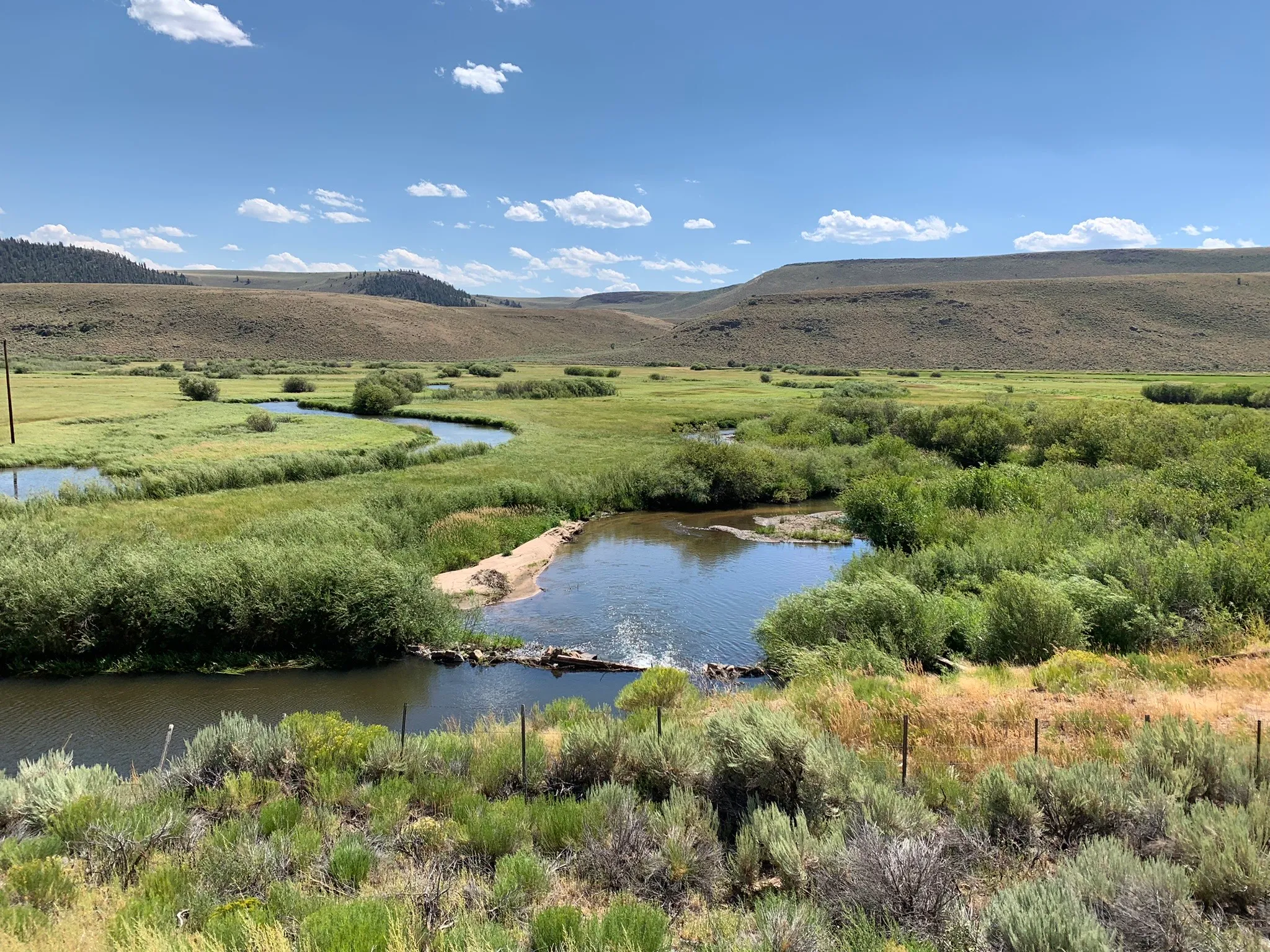
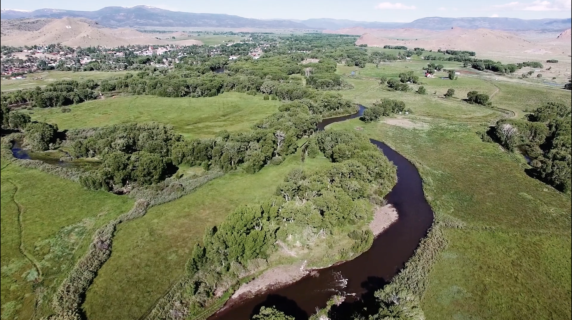
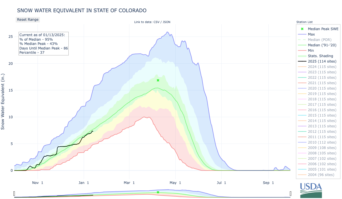
With the funding, people around the state hope to upgrade infrastructure to help protect 15 miles of key habitat near Grand Junction for endangered species on the Colorado River. They want to improve aquatic habitats along rivers in Grand County, where low flows threaten fish and aquatic life, and restore ancient, water- and carbon-storing fens.
“It wasn’t surprising, but we still need to wait to see how it gets interpreted, and what it’s going to apply to or not apply to,” said Steve Wolff, general manager of the Southwestern Water Conservation District. The district joined with local partners to apply for funding for 17 projects in southwestern Colorado and was awarded $25.6 million.
“We would all be very disappointed if any of this money was removed,” Wolff said. “These funds are really bipartisan and are meant to get put on the ground and do good work.”
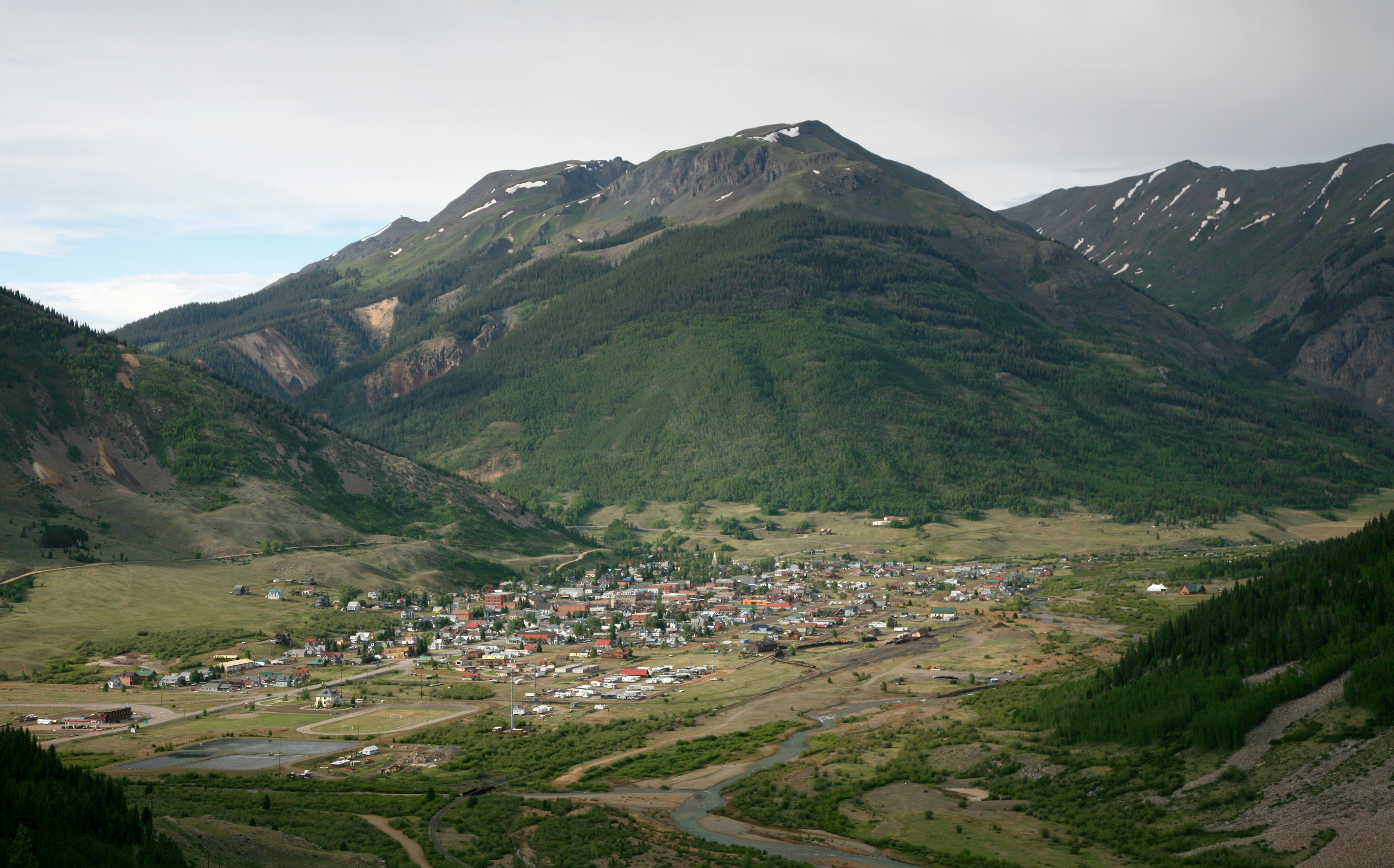
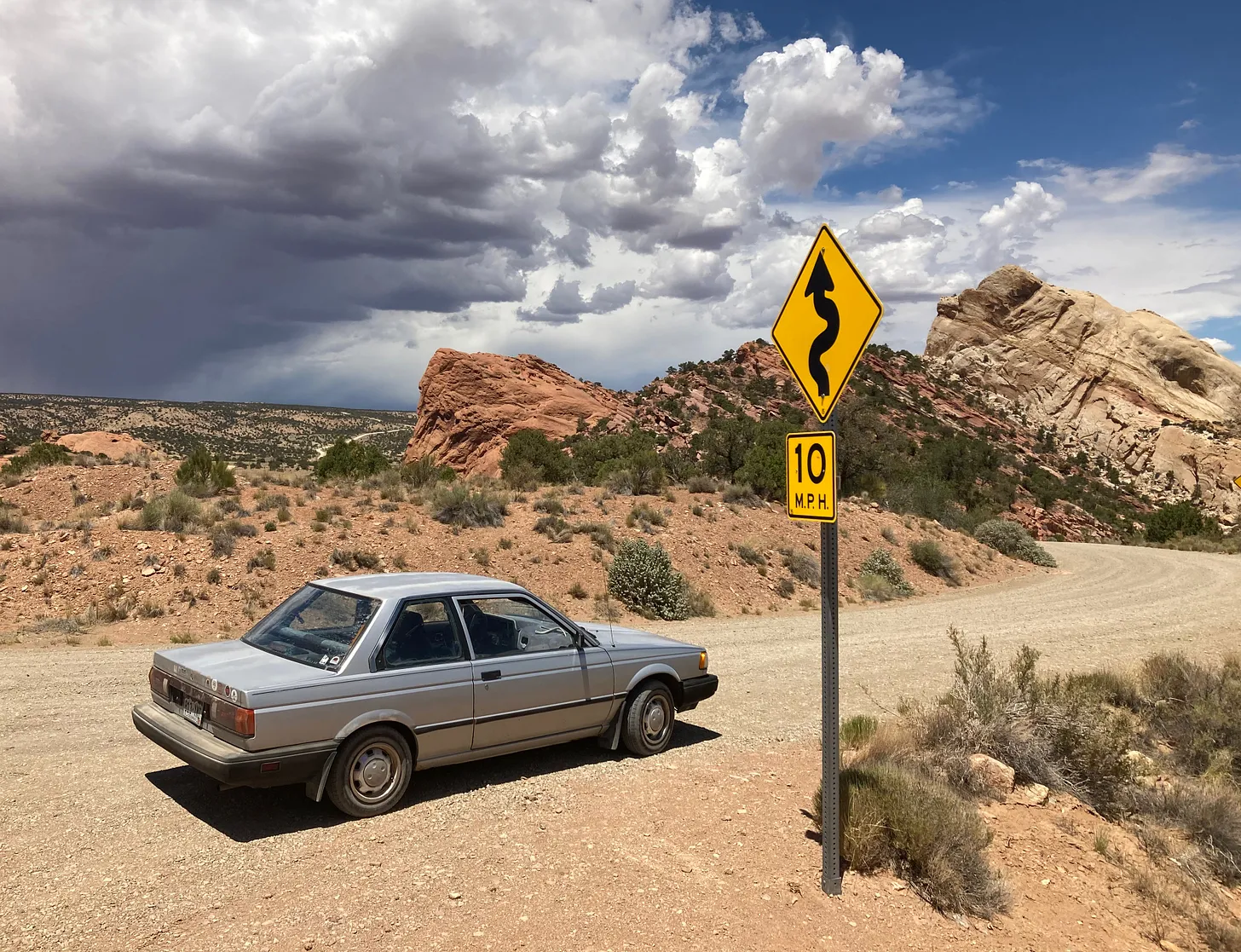
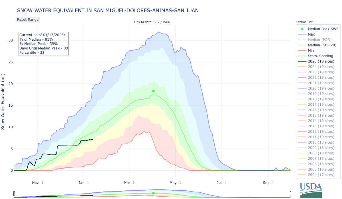
One of those projects aims to restore ancient fens along Highway 550, known as the Million Dollar Highway, between Silverton and Ouray in southwestern Colorado.
These fens, between 6,000 and 14,000 years old, naturally store carbon and slow runoff from the mountains, helping to maintain flows into the summer when water runs low and demand outpaces supply. Drought, a history of mining, and human impacts in the area have degraded the fen ecosystems over time, said Jake Kurzweil, a hydrologist with Mountain Studies Institute in southwestern Colorado.
The project managers want to hire locally to help the rural economy. And the work would help restore river ecosystems where they begin — at their headwaters — if the funding actually comes through.
“Until there’s a contract in place, we won’t be including it in our budgets,” Kurzweil said. “We’re optimistically hopeful, but not counting our chickens before they hatch.”
Of the 42 Upper Colorado River projects awarded funds from the Inflation Reduction Act, 17 projects would include work in Colorado:

- Southern Ute Indian Tribe’s Pine River Environment Drought Mitigation Project: Up to $16.7 million: The funding would improve the health of the Pine River watershed, fish passage, deteriorating infrastructure, and water quality while addressing drought impacts.

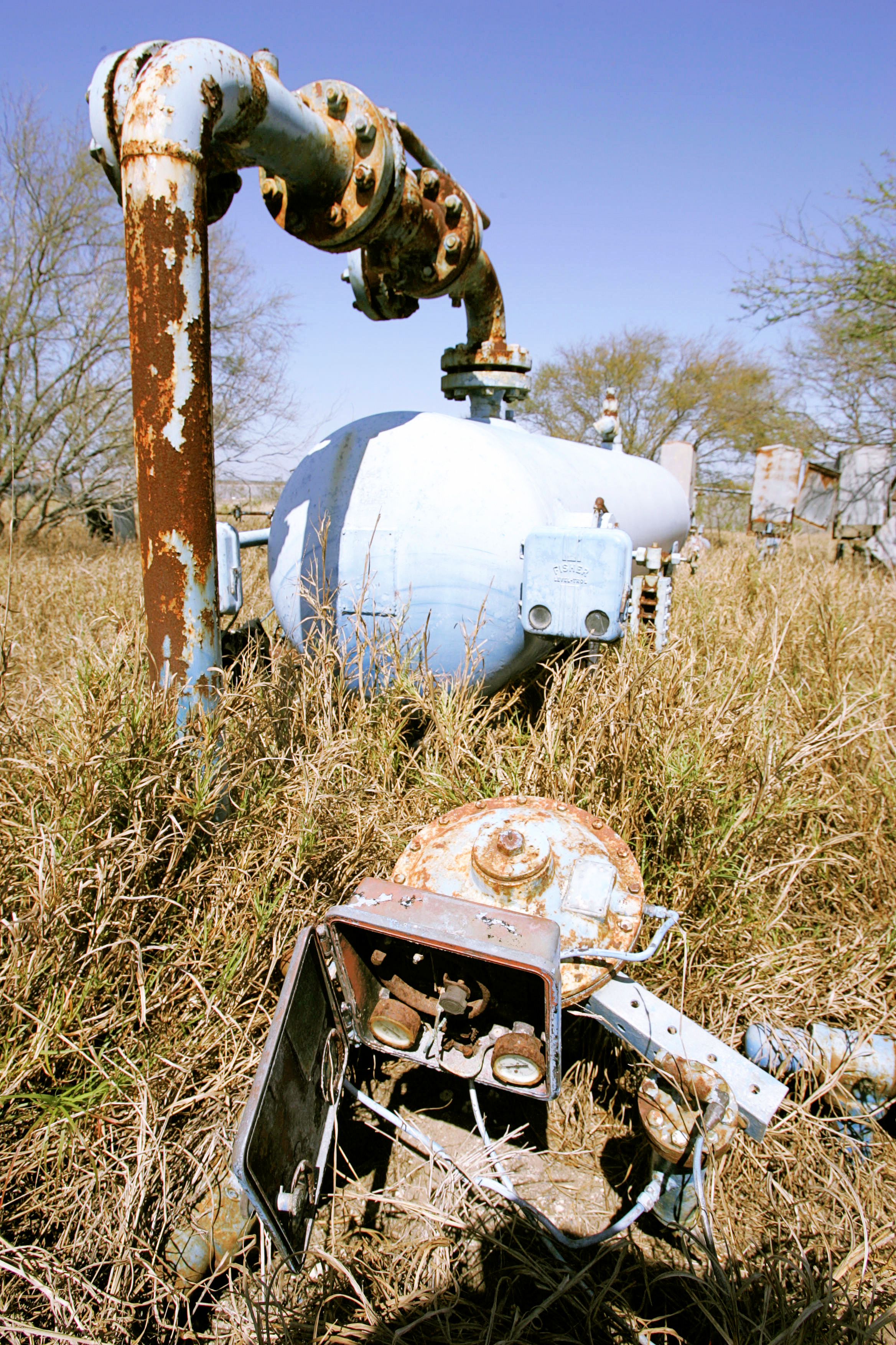
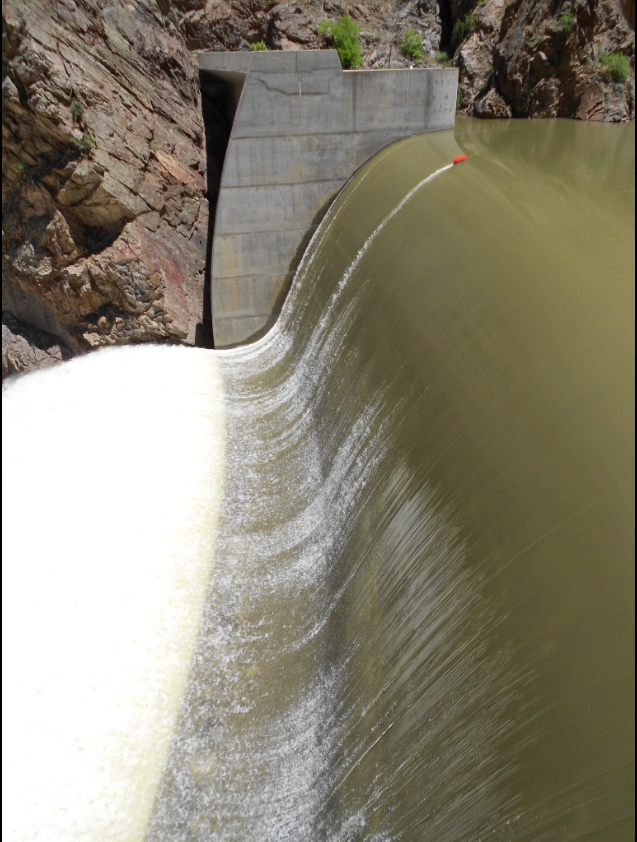
- Shoshone Water Rights Preservation Project: Up to $40 million: The funding would go toward the $99 million purchase of the Shoshone Power Plant’s water rights by the Colorado River Water Conservation District. The district says it will protect future water supplies for ecosystems, farms, ranches, communities and recreational businesses.

- Addressing Drought Mitigation in Southwestern Colorado: Up to $25.6 million: The funding would support 17 projects in the Dolores and San Juan river basins in southwestern Colorado. The projects aim to restore ecosystems and enhance biodiversity and water resources while supporting local communities and endangered species.
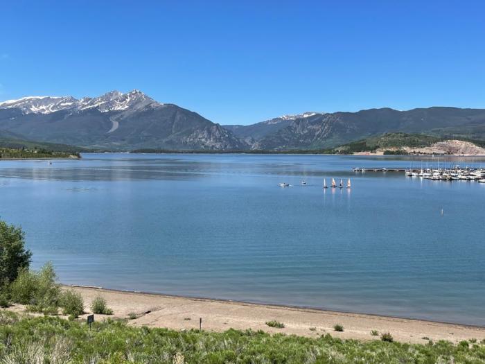
- Grand Mesa and Upper Gunnison Watershed Resiliency and Aquatic Connectivity Project: Up to $24.3 million: The funding would restore watersheds to combat drought impacts to water quality and habitat in western Colorado.
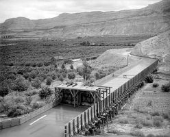
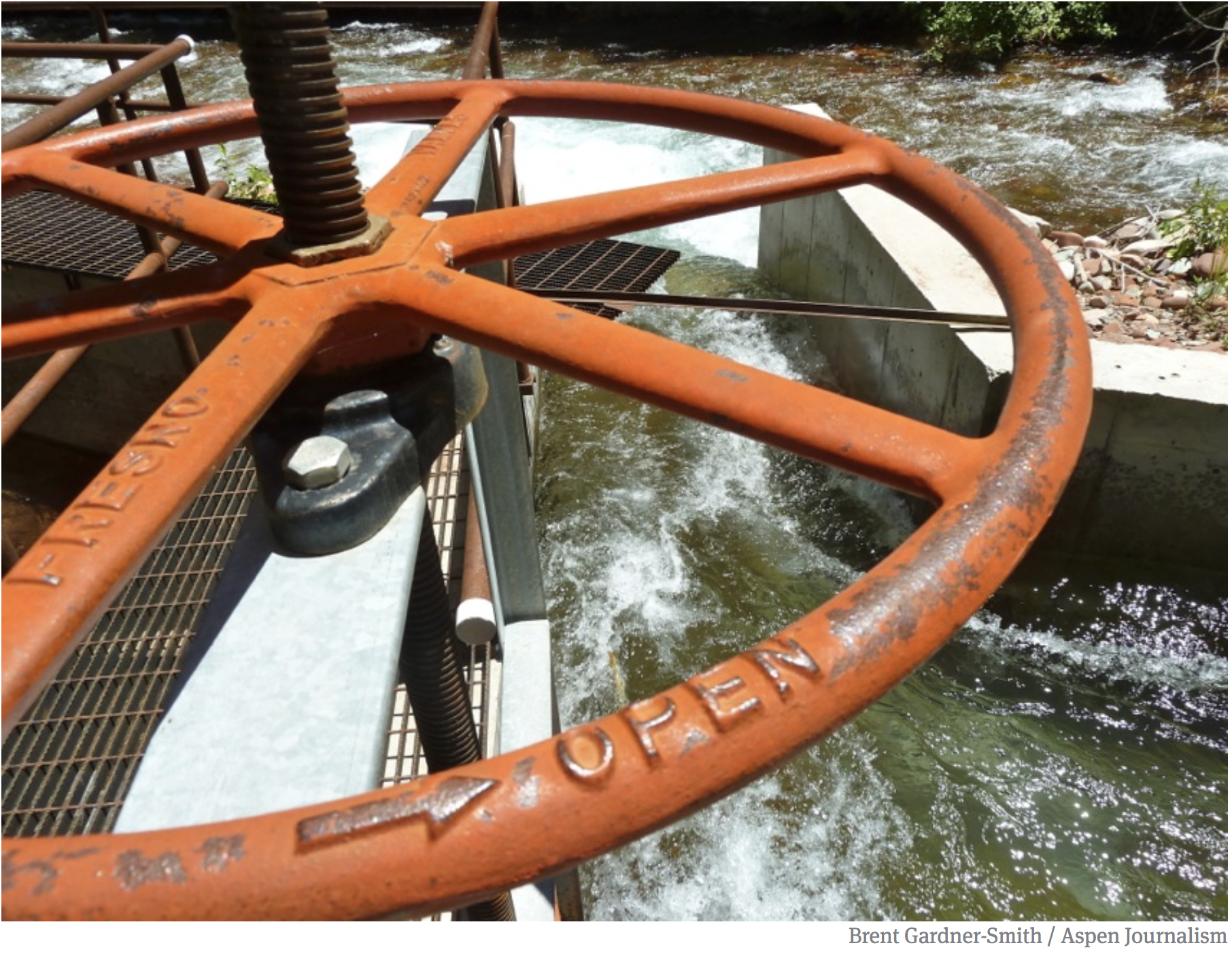
- Orchard Mesa Irrigation District Conveyance Upgrades for 15-Mile Reach Flow Enhancement: Up to $10.5 million: The funding would convert open canals into pressurized pipelines, improving water delivery efficiency and reducing environmental stressors. This upgrade aims to support endangered fish species by enhancing streamflow in a critical stretch of the Colorado River.

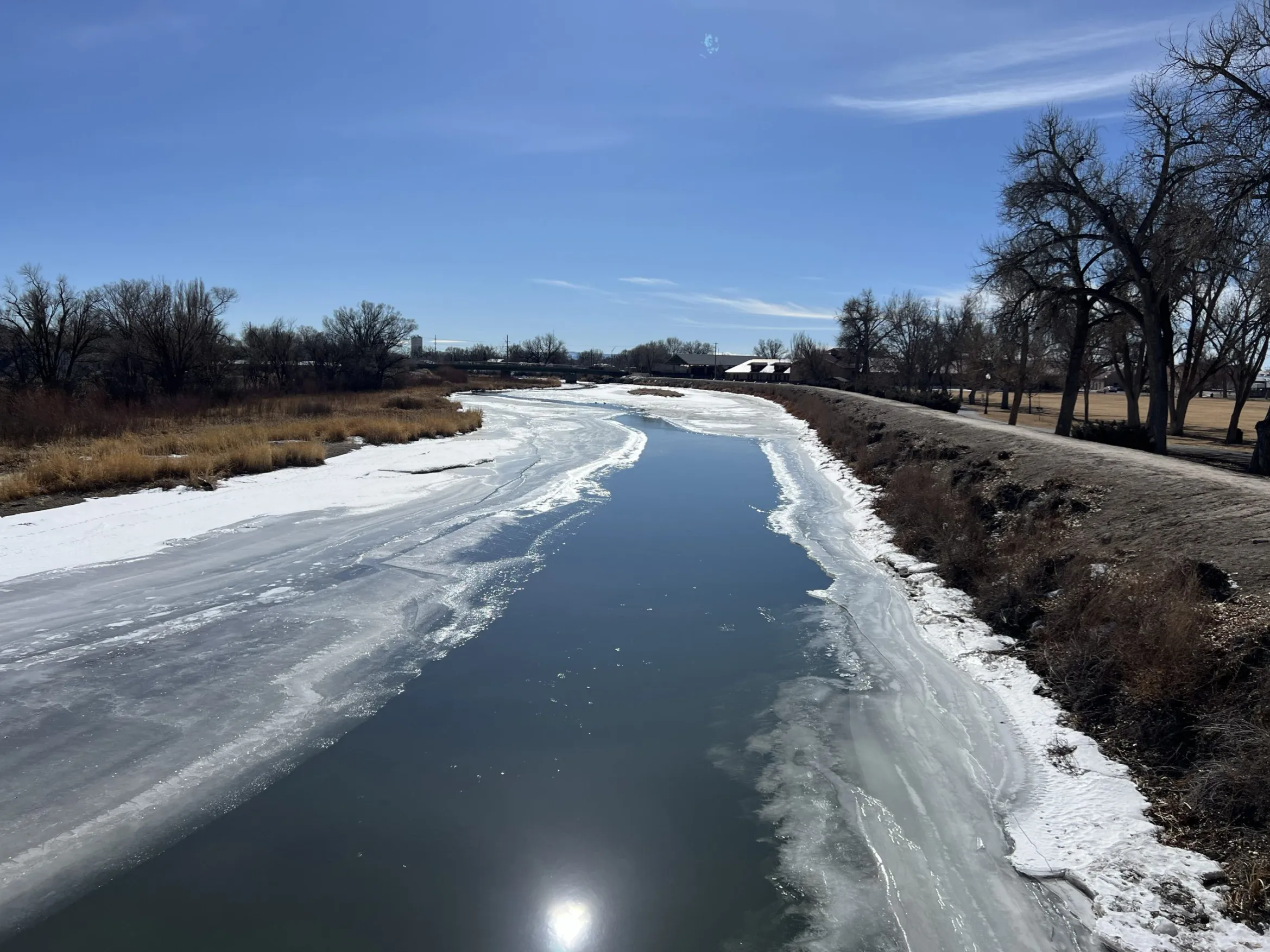
- Enhancing Aquatic Habitat in Colorado River Headwaters: Up to $7 million: The funding would restore stream habitats along the Fraser, Blue and Colorado rivers in Grand County through channel shaping and bank stabilization.

- Yampa River/Walton Creek Confluence Restoration Project: Up to $5 million: The funding would restore river and floodplain habitat around Steamboat Springs.
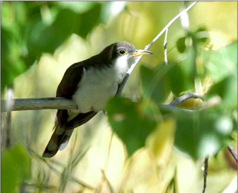
- Drought Resiliency on Western Colorado Conserved Lands: Up to $4.6 million: The funding would help improve wetlands, floodplains, erosion control structures and habitat for at-risk species like the yellow-billed cuckoo and Gunnison sage-grouse.
- Upper Colorado Basin Aquatic Organism Passage Program: Up to $4.2 million: The funding would restore stream habitat in Grand County to improve biodiversity, habitats, fish passage and drought resilience.

- Conversion of Wastewater Lagoons into Wetlands: Up to $3 million: The funding would turn outdated sewer lagoons into wetlands to improve biodiversity and habitat for migratory waterfowl and endangered fish species in Palisade.

- Fruita Reservoir Dam Removal: Up to $2.8 million: The funding would remove a dam on Piñon Mesa to restore wetlands, habitat and biodiversity.

- Monitoring and Quantifying the Effectiveness of Beaver Dam Analogs on Drought Influenced Streams in the Upper Colorado River Basin: Up to $1.9 million: The funding would restore degraded headwater meadows by implementing structures that mimic the natural functions of beaver dams.

- Uncompahgre Tailwater Rehabilitation Project: Up to $1.8 million: The funding would stabilize stream banks, restore aging infrastructure and improve the river habitat to help with ecological health and recreational opportunities.
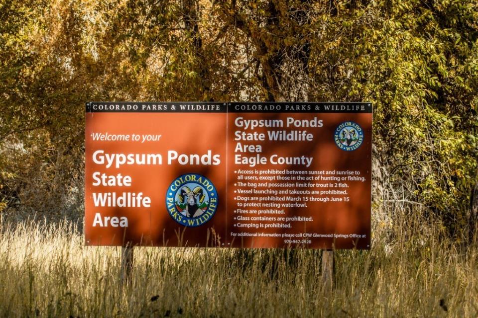
- Eagle River Habitat Improvement, Gypsum Ponds State Wildlife Area: Up to $1.5 million: The funding would improve fish habitat and water quality along the Eagle River in Eagle County.

- Orchard Mesa and Grand Valley Metering Efficiency Project: Up to $1.5 million: The funding would improve water management in the Grand Valley through the installation of advanced metering technology and real-time remote monitoring systems.
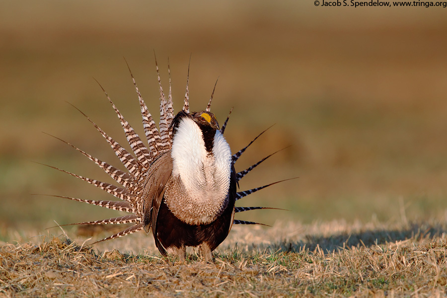
- Habitat Restoration in the Gunnison Basin: Up to $750,000: The funding would use low-tech restoration structures to restore habitat for the endangered Gunnison sage-grouse in the Gunnison River Basin.

- Cyanobacteria Monitoring and Treatment for Drought-driven Blooms in a High Elevation, Upper Colorado Reservoir to save Ecosystem Function: Up to $518,000: The funding would use real-time water quality monitoring tools and targeted treatments to combat algal blooms and restore aquatic health at Williams Fork Reservoir.


.jpg)