Click the link to read the article on The Land Desk website (Jonathan P. Thompson):
March 25, 2025
⛏️Mining Monitor ⛏️

Last week, President Trump signed an executive order — his 150th so far this term, by my rough count — invoking the Defense Production Act to expedite mining on federal lands. The wording of the order suggests that the aim is not just to cut through some of the red tape hindering proposed projects, but to incite the industry to mine areas that it may not have been considering previously.
The order has understandably alarmed public lands advocates, but it has also spawned some misconceptions, particularly concerning the 1872 General Mining Law.

While Trump’s attacks on the nation and public lands have been of unprecedented scope and scale so far, his use of the Cold War-era DPA is not unprecedented or even all that unusual. The Carter administration used it to justify pouring billions of dollars of subsidies into “synfuel” production as part of its quest for “energy independence.” This sparked massive oil shale operations in western Colorado (which crashed spectacularly). And Biden used the Act to encourage mining for so called “green metals,” such as lithium, boron, and manganese. He also streamlined permitting for the proposed Hermosa manganese mine in southern Arizona, and loaned the contested Thacker Pass lithium mine in Nevada $2.6 billion.
But Trump’s order goes much further than Biden’s. He is expanding the list of target minerals to just about everything, including “critical minerals, uranium, copper, potash, gold, and any other element, compound or material as determined by the Chair of the National Energy Dominance Council, such as coal.” While Biden wanted a survey of the nation’s mineral production capacity, and promised to adhere to all existing environmental laws and consult with tribal nations, Trump is ordering his agencies to:
- Compile a list of all proposed mining projects “in order to expedite the review of those projects in coordination with the National Energy Dominance Council.”
- Amend or revise land use plans under the Federal Land Policy and Management Act as necessary to “support the intent of this order.”
- “Identify as many sites as possible that might be suitable for mineral production activities that can be permitted as soon as possible.”
- Prioritize mineral production activities over other types of activities on federal lands.
- Provide financing, loans, and investment for new mines, including from a “dedicated critical minerals fund established through the U.S. International Development Finance Corporation.”
- “New recommendations will be provided to Congress regarding treatment of waste rock, tailings, and mine waste disposal under the Mining Act of 1872.”
Instead of adhering to environmental laws, Trump would simply alter them to support mining. He not only wants to help out proposed projects with regulatory and financial subsidies, but also wants to spur on new projects on “as many sites as possible.” And he is prioritizing mineral extraction over all other activities on federal lands, a blatant violation of the Federal Land Policy Management Act’s multiple-use mandate.
That would mean not only that mining would take precedence over conservation and recreation, but also livestock grazing and other extractive uses. The OHV crowd that’s worried about the BLM closing a few roads to motorized vehicles around Moab might just find themselves ousted from a lot more areas by potash ponds, uranium mines, or lithium operations.
Trump’s recommendations to Congress likely will be to tweak the 1872 Mining Law to ensure that mining companies can store waste on public land mining claims that aren’t valid, meaning that they have not proven that the parcels contain valuable minerals. This was actually the norm for decades until 2022, when a federal judge ruled that the proposed Rosemont copper mine in Arizona could not store its tailings and waste rock on public land. That ruling was followed by a similar one in 2023, leading mining state politicians from both parties to try to restore the pre-Rosemont Decision rules.
It’s around the General Mining Law that misconceptions have arisen. The folks at More Than Just Parks say the new order “doesn’t create a new legal framework. It exhumes an old one — a fossil from the 19th century … It’s the Mining Act of 1872, back from the dead, and now wearing body armor.” Which is a nice way to put it, but the Mining Act never died, so this order can’t revive it.
The other misconception appeared in Lands Lost, another great Substack focusing on public lands, which wrote: “… there are no meaningful environmental safeguards in place because public land mining is a free-for-all governed only by an 1872 law that’s never been modernized.”
It’s true that the 1872 Mining Law is inadequate, allows mining companies or individuals to stake a claim to any public land without public input or environmental review, conduct exploratory work with a minimum of review, and pay no royalties on hardrock minerals they extract. However, the federal agencies do have additional regulations governing mining. Before a company can do any actual mining, it must get an operating permit from the Bureau of Land Management, U.S. Forest Service, or Department of Energy (depending on the land’s jurisdiction), which includes an environmental review (either an EA or a more extensive EIS, depending on the scope of the project). A mine may also need a Clean Water Act permit for any water discharges, including draining adits, and many states require additional permits as well.
By ordering the agencies to alter the FLPMA land-use plans to accommodate mining, Trump is essentially doing away with these additional safeguards, which really is scary. That would take us back to a time when the 1872 Mining Law was the only federal regulatory framework, which would give mining companies a free rein to trash public lands. However, Trump can’t do much about state requirements, except to try to bully them out of existence. [ed. emphasis mine]
The order applies only to federal lands, so mining projects that are on patented mining claims — which are entirely on private — would not be affected (although they might be eligible for the government handouts).
Proposed projects this fast-tracking could affect include:
- Resolution Copper’s proposed massive copper mine at Chi’chil Biłdagoteel, aka Oak Flat, in central Arizona.
- Copper World Complex née Rosemont Mine in the Santa Rita Mountains south of Tucson, Arizona. After a judge kiboshed Canada-based Hudbay’s plan to dump mine waste on U.S. Forest Service land, the firm decided to base the initial phase on patented, i.e. private, mining claims and later expand to public lands.
- South32’s proposed Hermosa Mine in the Patagonia Mountains of southern Arizona. Biden already fast-tracked permitting for this battery-grade manganese mine, but Trump’s order could speed it along even more.
- Energy Fuels’ Roca Honda uranium mine and Laramide Resources’ La Jara Mesa uranium project, both on Forest Service land near Grants, New Mexico.
- Anson/A1’s proposed lithium extraction projects and American Potash’s lithium and potash projects on BLM land east and north of Moab and south of Green River, Utah.
- Lithium, copper, and uranium projects on BLM land in the Lisbon Valley in southeastern Utah.
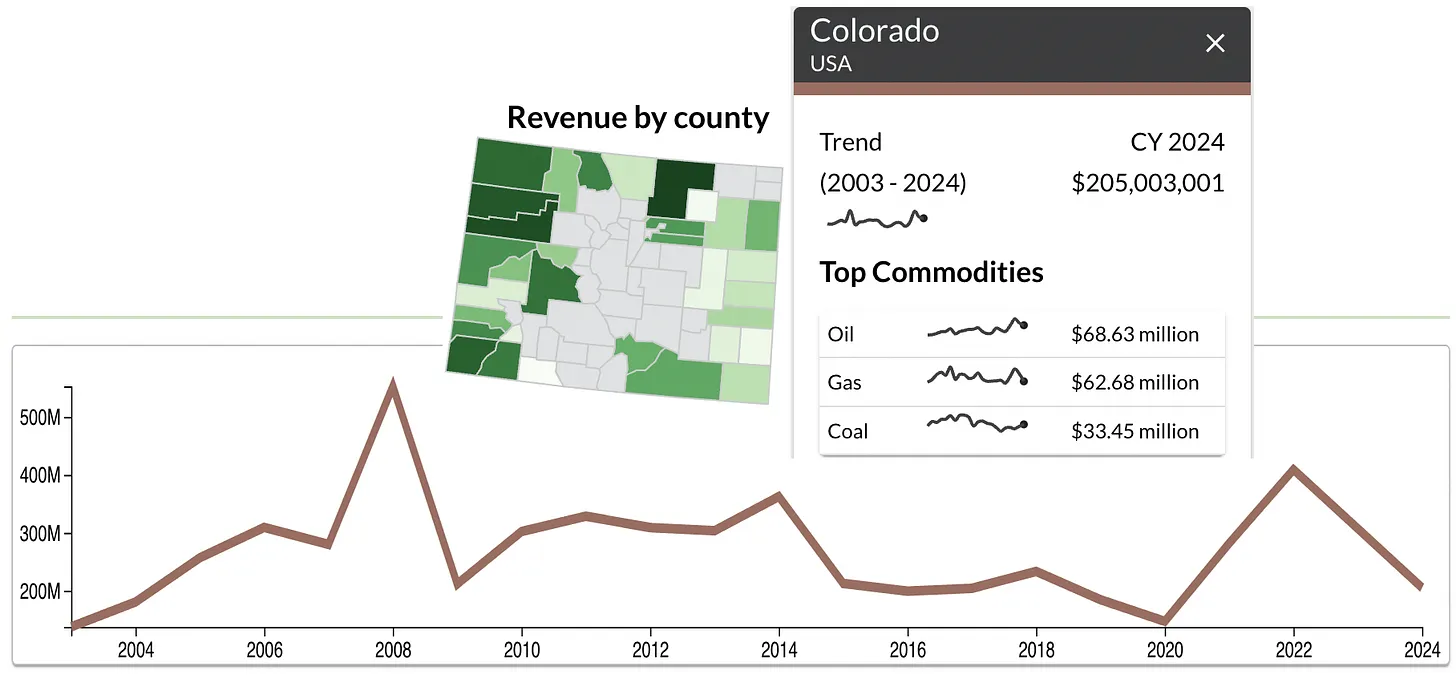
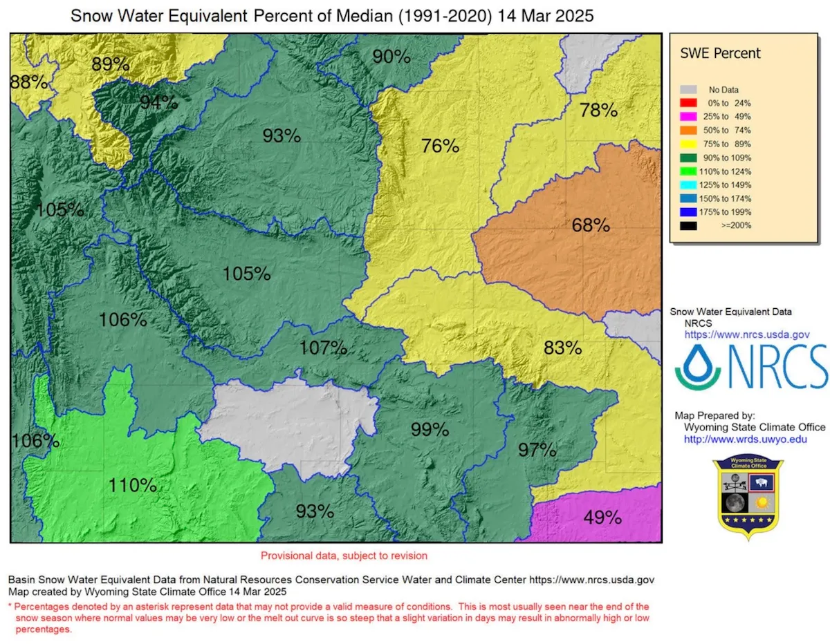
- Numerous proposed uranium mining projects on Energy Department leases and BLM land in the Uravan Mineral Belt in western Colorado.
- Atomic Minerals’ uranium prospects on Harts Point, just outside the boundaries of Bears Ears National Monument.
- Metallic Minerals is only doing exploratory drilling on its mining claims in the La Plata Mountains of southwestern Colorado, and have yet to make any mining plans public, so it’s not clear whether Trump’s order would affect this contested project.
- Learn more about these and other projects with the Land Desk’s Mining Monitor Map.
Those links up ^^ there? A lot of them are to paywalled Land Desk archives. Break down the paywall and support oligarch-free journalism by becoming a paid subscriber now.

🌵 Public Lands 🌲
Also last week, in a short-on-details Wall Street Journal opinion piece, Interior Secretary Doug Burgum and Housing and Urban Development Secretary Scott Turner unveiled a plan to transfer or lease “underused” public lands to states or localities for affordable housing. An Interior official then told Bloomberg Law’s Bobby Magill that the Bureau of Land Management is considering selling about 400,000 acres of federal land within 10 miles of cities and towns with more than 5,000 people for housing development.
This isn’t surprising: Republicans and Democrats have both been itching to grab some public land for housing for a while. And the stated intent, to add affordable housing to increasingly unaffordable public lands-gateway communities, is noble.
And yet, the plan — as scant in particulars as it is — is still riddled with problems.
Burgum has made it clear that he distinguishes between “special” and “our most beautiful” public lands, i.e. those that are in national parks or national monuments, and the remaining “underused,” “inhospitable or unoccupied” lands. The lands on the urban fringes he intends to take out of the American public’s hands belong to the latter category, apparently.
But those same lands are valuable, especially to the nearby communities. They provide an easy-to-access refuge — for humans and wildlife — from the urban din, as well as recreational opportunities. In fact, the close proximity of these public lands makes the communities more desirable and therefore more expensive: think Animas Mountain in Durango, the Slickrock Trail in Moab, Jumbo Mountain in Paonia, the Lunch Loop trails in Grand Junction, the Buckeye Hills near Phoenix, or the Juniper Woodlands trails outside Bend. Now imagine them covered in houses.
Because BLM lands are almost always outside the urban boundaries, developing them will lead directly to sprawl and all of its impacts, including more traffic and associated pollution and safety issues.
So far, the Interior Department hasn’t given any indication that it would require the land to be used for affordable housing. And, as Center for Western Priorities points out in a statement on the plan, the administration hardly seems interested in fixing the housing crisis, given that it is planning to eviscerate HUD and has frozen some $60 million in funding for affordable housing.
Which leads me to think they are using Sen. Mike Lee’s stalled HOUSES Act, which also calls for putting houses on “underutilized” federal land, as a model. But that legislation has no affordability restrictions and its density requirement — a mere four houses per acre — is just more sprawl.
That’s because Lee and company are going with the supply side theory, which posits that simply building more houses will lower costs enough to make them affordable. While this theory does hold in certain cases, it does not apply to most Western public lands-gateway, amenities communities, where seemingly unlimited demand is always bound to outpace supply. And that means this plan is just another scheme to take public lands out of Americans’ hands and give them to the private sector.
On the housing supply-side theory JONATHAN P. THOMPSON SEPTEMBER 19, 2023: https://www.landdesk.org/p/on-the-housing-supply-side-theory
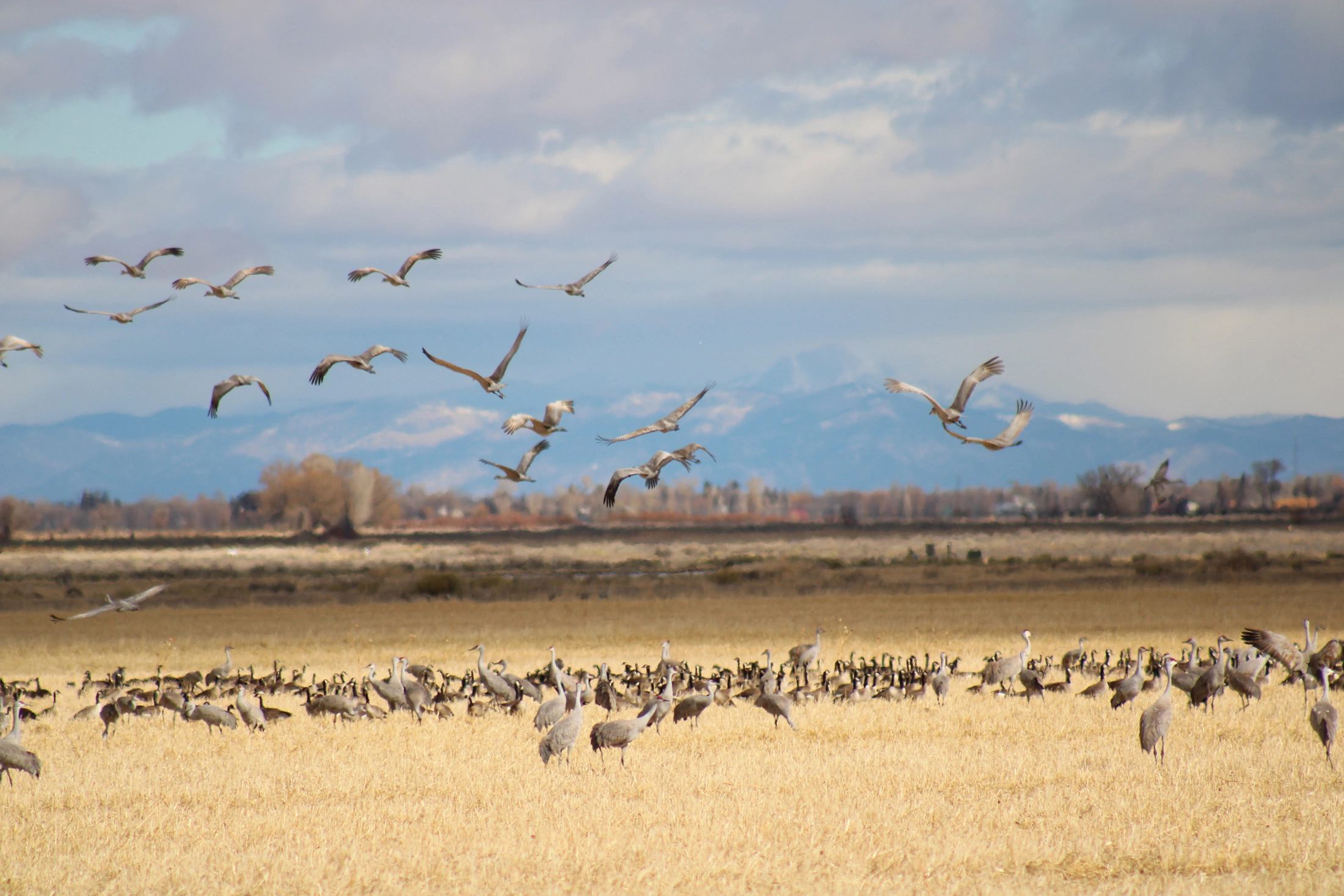
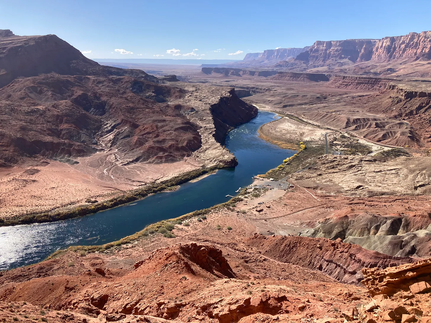
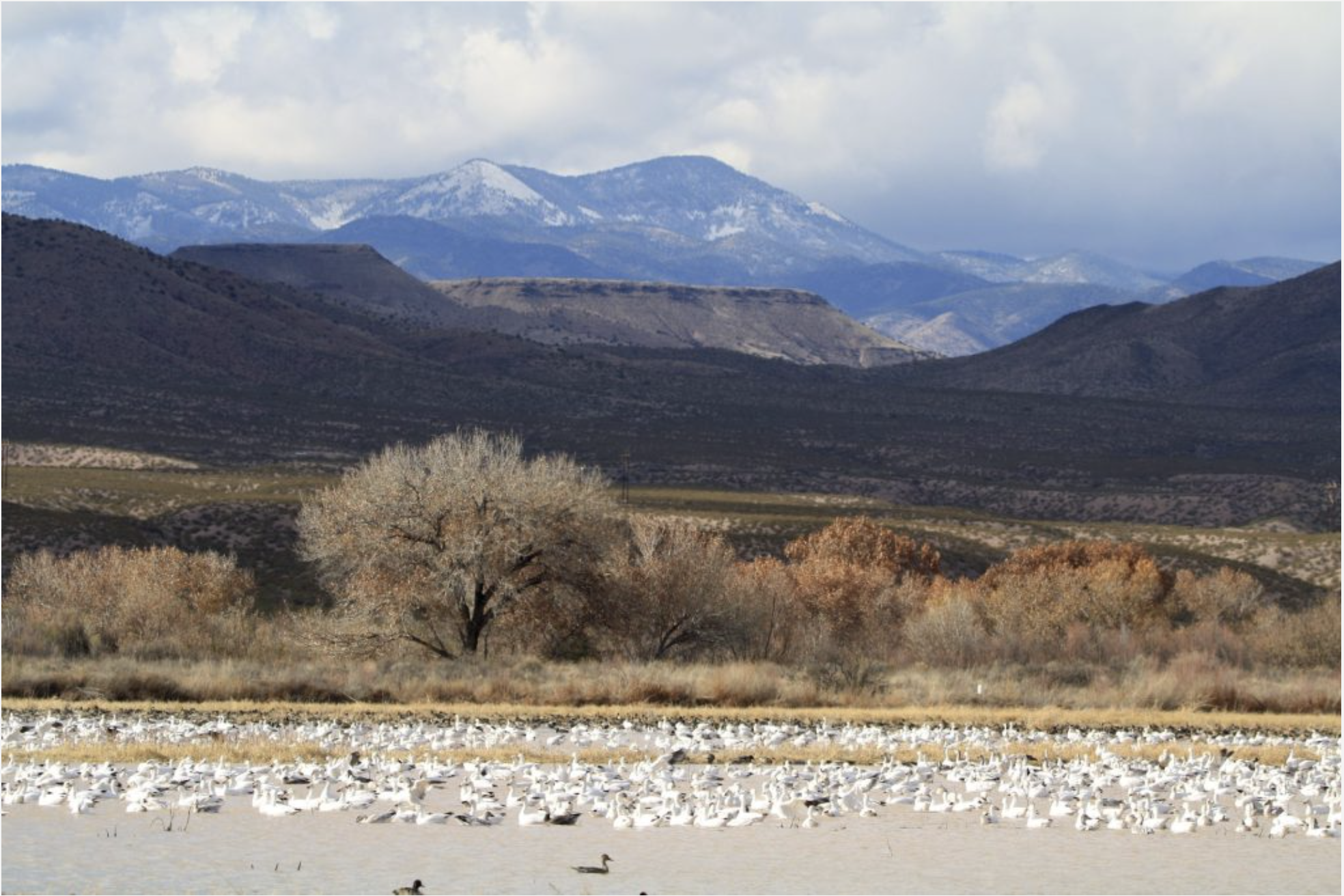
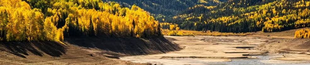
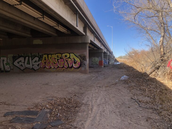
📸 Parting Shot 🎞️