By Robert Marcos, photojournalist
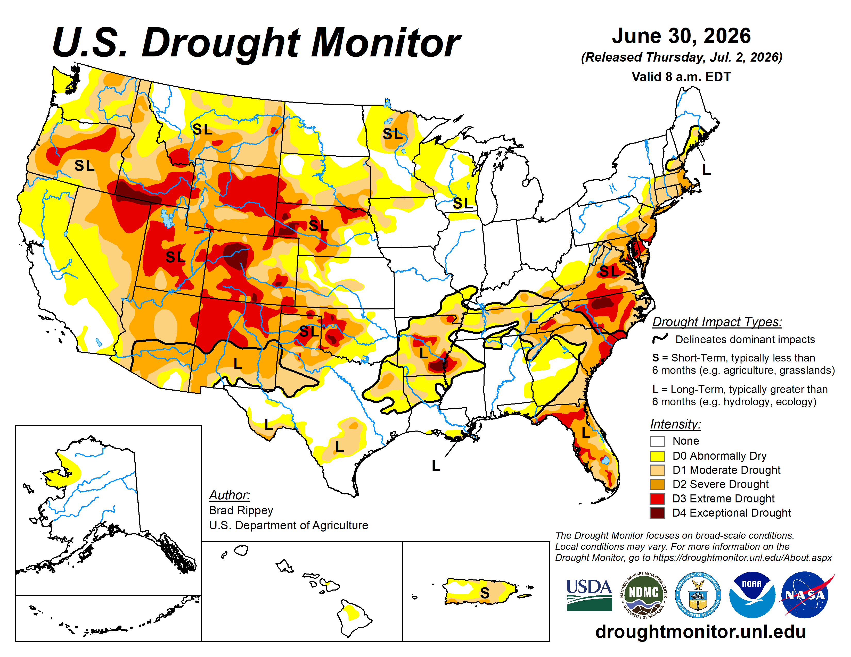
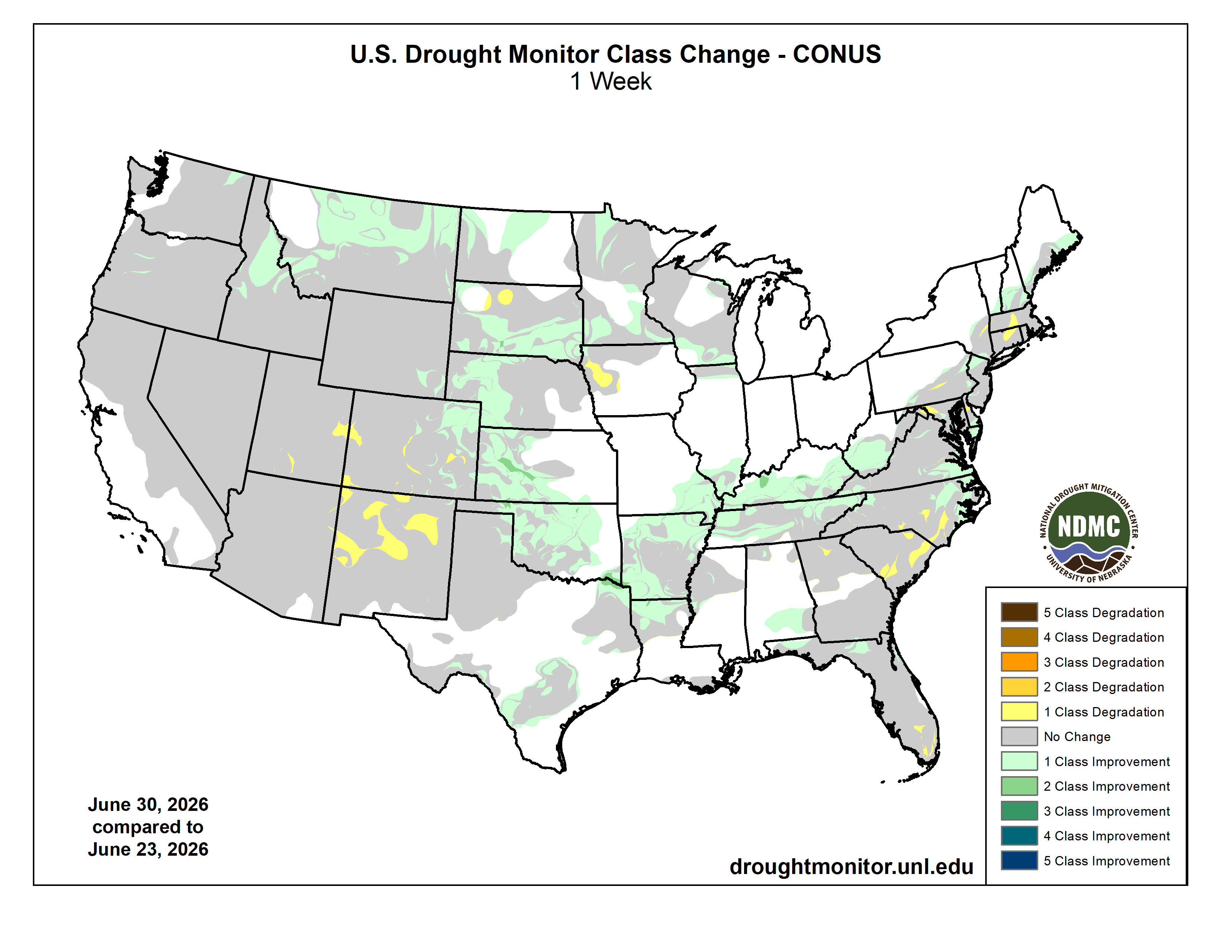
New Mexico is facing a profound environmental transformation. The state is transitioning out of temporary, cyclical droughts and entering a permanent state of aridification—a structural shift toward a fundamentally drier climate. Driven by rising temperatures, record-low winter snowpacks, and unpredictable weather volatility, state climate models project that New Mexico will lose 25% to 30% of its available water by 2050. This looming shortfall presents an existential threat to the state’s population, economy, and natural ecosystems.
Who Is Affected?
Aridification will impact every single New Mexican, though the immediate crisis is hitting specific communities first.
Rural Towns and Communities: Small municipalities with shallow wells are on the front lines. The town of Estancia has already declared a local water emergency, forcing the municipality to actively truck in water to keep its pipes flowing.
Eastern Border Cities: Urban areas in Eastern New Mexico, most notably Clovis and Portales, are facing severe long-term threats to their survival as their primary water reserves dry up.
The Agricultural Sector: Farming and ranching consume the vast majority of New Mexico’s water. Growing political friction is mounting against water-heavy industries like mega-dairies and commercial alfalfa farming. Along the Rio Grande, over 35% of historical farmland has already been abandoned due to shrinking irrigation allocations.
Which Water Sources Are Drying Up?
The crisis is simultaneously draining both above-ground and below-ground water supplies, creating a compounding deficit.
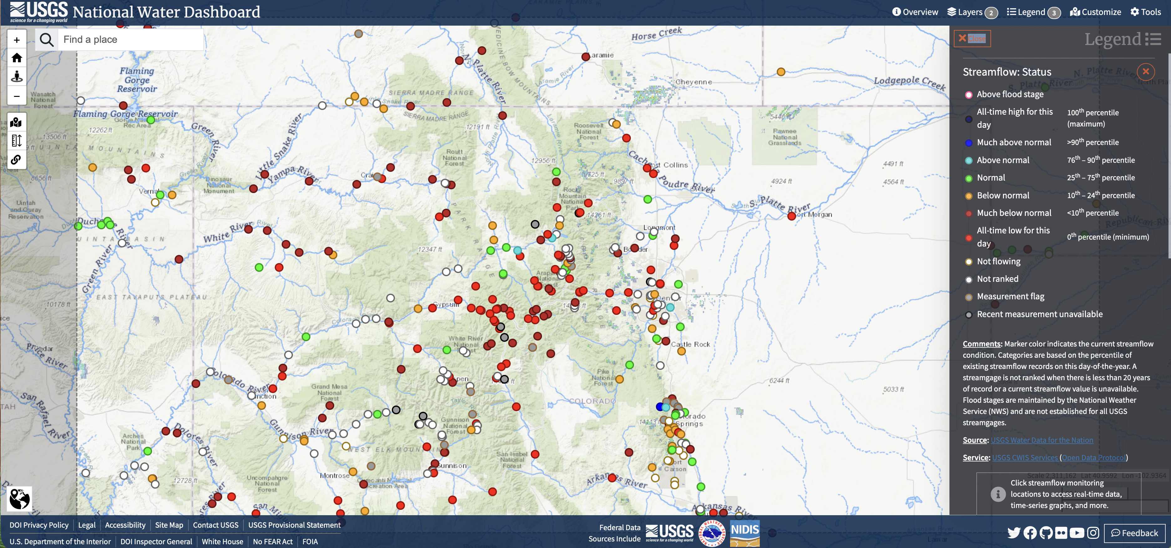
Surface Water Supply: The Rio Grande, the state’s main surface water artery, increasingly dries up completely during peak summer months. Vital reservoirs are failing; the massive Elephant Butte Reservoir has repeatedly plummeted to near-empty levels (3% capacity or less) because water evaporates or is consumed up to 15 times faster than it flows in from the north.
Groundwater Supply: Groundwater provides 80% of New Mexico’s drinking water, but it is being depleted at an unsustainable rate as cities and farms pump aggressively to replace lost surface water. The fastest-dropping water tables are concentrated in the Ogallala Aquifer (beneath Clovis and Portales), the Mimbres Basin (Deming), the Estancia Basin, and the Albuquerque Basin. Scientists predict a total deficit of 750,000 acre-feet of water within the next 50 years.
What’s Being Done About It?
While the projections are stark, New Mexico is not standing still. The state has launched a comprehensive 50-Year Water Action Plan to reshape how it manages, conserves, and sources water.1
The Strategic Water Supply: The state has committed $75 million to build advanced desalination projects. These facilities will treat brackish (salty) groundwater, with the goal of delivering 100,000 acre-feet of brand-new drinking water to communities by 2028.
Infrastructure Overhauls: Rural communities lose anywhere from 40% to 70% of their treated drinking water to leaks in aging pipelines before it ever reaches a tap. State-backed infrastructure campaigns are underway to aggressively repair these systems.
Water-Right Buyouts: To satisfy legally mandated interstate water compacts with downstream neighbors like Texas—and to prevent legal warfare—the state is actively buying back water rights from domestic farmers, taking certain agricultural lands out of production to preserve remaining aquifer levels.