Click on a thumbnail graphic below to view a gallery of drought data from the US Drought Monitor.


Click here to go to the US Drought Monitor website. Here’s an excerpt:
This Week’s Drought Summary
Tropical Storm Beta made landfall on September 21 about 10 pm CDT near Port O’Connor, TX, with sustained winds near 45 mph. Once inland, slow-moving Beta weakened and turned northeastward, crossing the Mississippi Delta before dissipating on September 25 over the Southeast. Nevertheless, heavy rainfall associated with Beta caused local flooding, especially along and near the middle and upper Texas coast. Beta’s heavy rain tracked across an area (centered on Mississippi) experiencing abnormal dryness (D0) and moderate drought (D1), leading to a significant boost in soil moisture. Mostly dry weather covered the remainder of the country, aside from a few showers in the upper Great Lakes region and some beneficial precipitation in the Northwest. Across much of the Plains and Midwest, open weather favored agricultural fieldwork but further reduced topsoil moisture in drought-affected areas. In fact, worsening drought remained a major concern across much of the western half of the country, with adverse impacts on rangeland and pastures. In addition, the return of hot, windy weather fanned several new Western wildfires. Near- or above-normal temperatures prevailed in the West, with the hottest weather occurring in the Four Corners States. As the drought-monitoring period ended on September 29, approaching heavy rain brought the promise of relief to the Northeast, enduring its second major drought in 5 years…
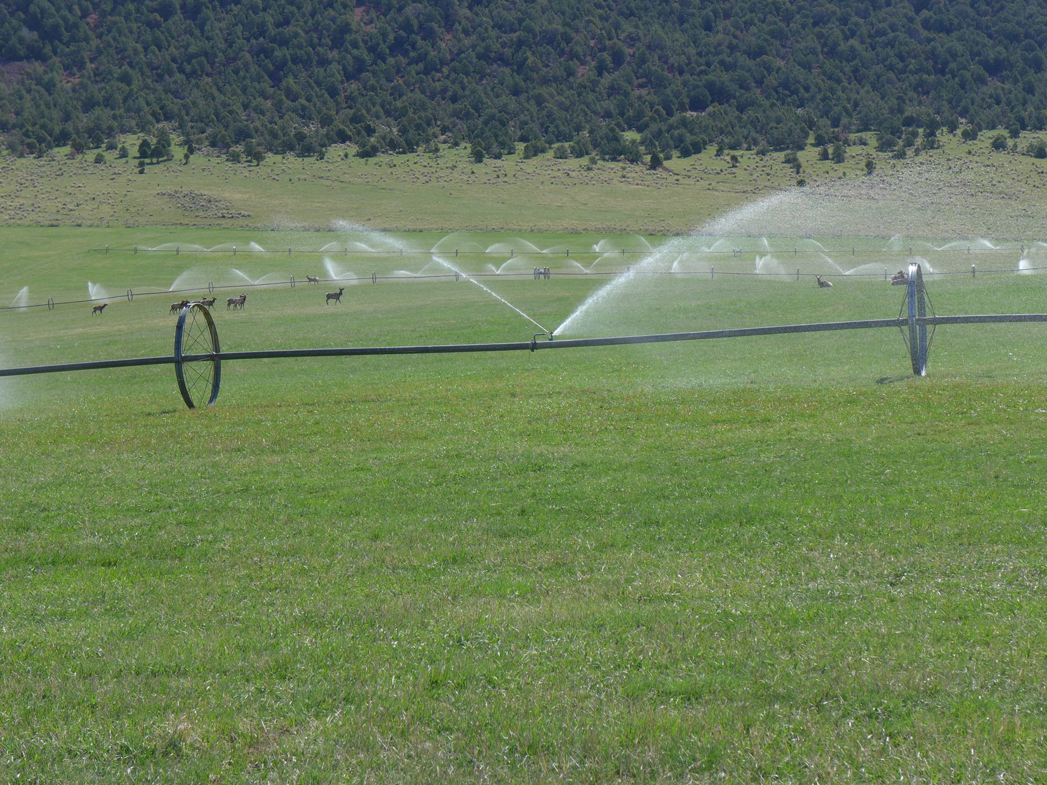
Dry, occasionally breezy weather led to a “flash-drought” situation, with rapid development or expansion of dryness and drought. Several days of summer-like warmth contributed to the drying; in Nebraska, daily-record highs rose to 95°F in Valentine (on September 22) and North Platte (on September 23). On September 24, East Rapid City, South Dakota, noted a daily-record high of 93°F. By September 27, topsoil moisture across the region rated very short to short ranged from 49% in Kansas to 77% in Colorado. Wyoming led the region with rangeland and pastures rated 64% very poor to poor. Colorado producers had planted 66% of their intended winter wheat acreage by September 27, leading the nation (and 9 percentage points ahead of the 5-year average), but only 19% of the crop had emerged (8 points behind average). These statistics—rapid planting but slow emergence—were indicative of dry conditions…
Precipitation in the Pacific Northwest aided wildfire containment efforts and brought slight improvement in the drought situation, mainly west of the northern Cascades. However, the remainder of the West remained warm and dry, with gusty winds and low humidity levels contributing to another round of dangerous wildfire activity in northern California. The much-needed Northwestern precipitation delivered daily-record amounts on September 23 in western Washington locations such as Hoquiam (1.32 inches); Olympia (1.23 inches); and Seattle (1.08 inches). Troutdale, Oregon, reported more than an inch of rain on September 18, 23, and 25—with totals of 1.13, 1.18, and 1.02 inches, respectively. Precipitation spread as far inland as the northern Rockies; in Idaho, daily-record totals included 0.55 inch (on September 25) in Stanley and 0.54 inch (on September 26) in McCall. Farther south, several new patches of exceptional drought (D4) were introduced or expanded in Colorado, New Mexico, Arizona, and Utah. As the water year (October 1, 2019 – September 30, 2020) came to an end, extreme drought (D3) was expanded in northern California and portions of neighboring states. California’s two most dangerous new wildfires were the Glass and Zogg Fires, both of which started on September 27. The Glass Fire, in Napa and Sonoma Counties, and the Zogg Fire, in Shasta County, both scorched about 50,000 acres of vegetation a couple of days, with little containment. Meanwhile, very poor to poor ratings were indicated by USDA on September 27 on at least 50% of rangeland and pastures in all Western States except Idaho, Nevada, and Utah, led by Oregon (82% very poor to poor). On the same date, topsoil moisture was at least 60% very short to short in every Western State except Arizona, led by New Mexico (86% very short to short)…
The remnant circulation of Tropical Storm Beta tracked across the area of abnormal dryness (D0) and moderate drought (D1) centered on Mississippi. September 21-24 rainfall topped 4 inches in locations such as Natchez, Mississippi (5.35 inches); Monroe, Louisiana (4.83 inches); and Texarkana, Arkansas (4.13 inches). Following Beta’s passage, D1 was eliminated from Mississippi. However, southeast of Beta’s area of influence, parts of eastern Mississippi saw mounting short-term precipitation deficits and a corresponding increase in D0 coverage. Farther west, parts of central Texas continued to benefit from recent heavy rainfall, while conditions rapidly worsened across the High Plains of Texas and Oklahoma. In fact, two new areas of exceptional drought (D4) were introduced in western Texas. Through September 29, year-to-date precipitation in Midland, Texas, totaled just 6.84 inches (59% of normal). In Texas’ northern panhandle, year-to-date precipitation had not yet reached the 9-inch mark in Borger and Dalhart. Borger’s 8.87-inch total was 48% of normal. On September 27, Texas led the country—among major production states—in cotton rated very poor to poor (35%). Oklahoma led the nation with 47% of its sorghum rated very poor to poor, according to USDA…
Looking Ahead
Unusually cold air will surge across the Midwest, eventually reaching much of the eastern half of the United States. By October 2-3, widespread freezes should occur from Nebraska and the Dakotas into the Great Lakes region. A secondary push of cold air will subsequently deliver additional freezes across the northern Plains and upper Midwest. In contrast, significantly above-normal temperatures west of the Rockies during the next 5 days will accompany completely dry weather. Elsewhere, periods of light precipitation may occur across much of the eastern half of the country, while locally heavy showers will linger for several days across Florida’s peninsula. A tropical wave over the western Caribbean Sea will continue to move generally westward with some potential for development during the weekend and beyond.
The NWS 6- to 10-day outlook for October 6 – 10 calls for the likelihood of near- or below-normal temperatures in the eastern United States, except across Florida’s peninsula, while warmer-than-normal weather will prevail from the Pacific Coast to the Plains and upper Midwest. Meanwhile, near- or below-normal precipitation across most of the country should contrast with wetter-than-normal weather in northern Maine, much of Florida, and the Pacific Northwest.

Just for grins here’s a gallery of early October US Drought Monitor maps for several recent years.